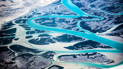
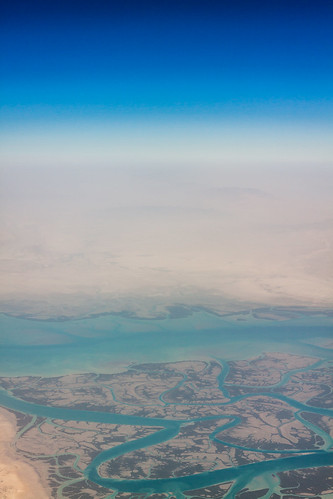
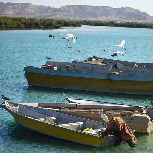
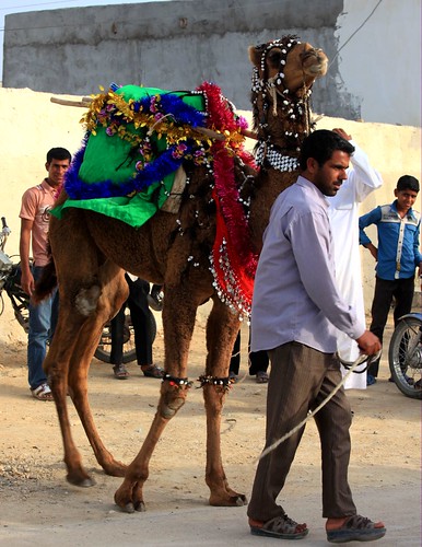
Elevation map of Qeshm, Iran
Location: Iran > Hormozgan Province > Qeshm >
Longitude: 55.8913207
Latitude: 26.8118673
Elevation: 115m / 377feet
Barometric Pressure: 100KPa
Related Photos:

An Old sailor, he visited more than 40 countries by "lenj" , lenj is traditional iranian ship. #laft #sonyimages #sailor #reportagespotlight #shipman #somiriahi #instagram #everydayiran #iran #sony7r #portrait #lenscultureportrait #persiangulf #lenscult

#hengam#iranphotographysouls#reportagespotlight#photographyislife#Allblackcomunity#photographer#MagnumPhotos#iranblackandwhite#lensculture#bnw_society#sundaytimes#panospictures#gettyimages#streetstyle#streetphotography#ig_persia#leica#phmuseum#axrooz#akas
Topographic Map of Qeshm, Iran
Find elevation by address:

Places near Qeshm, Iran:
Recent Searches:
- Elevation of Dog Leg Dr, Minden, NV, USA
- Elevation of Dog Leg Dr, Minden, NV, USA
- Elevation of Kambingan Sa Pansol Atbp., Purok 7 Pansol, Candaba, Pampanga, Philippines
- Elevation of Pinewood Dr, New Bern, NC, USA
- Elevation of Mountain View, CA, USA
- Elevation of Foligno, Province of Perugia, Italy
- Elevation of Blauwestad, Netherlands
- Elevation of Bella Terra Blvd, Estero, FL, USA
- Elevation of Estates Loop, Priest River, ID, USA
- Elevation of Woodland Oak Pl, Thousand Oaks, CA, USA
