Elevation of QC-, Saint-Raphaël, QC G0R 4C0, Canada
Location: Canada > Québec > Bellechasse Regional County Municipality > Saint-raphaël > Saint-raphaël >
Longitude: -70.699903
Latitude: 46.7786106
Elevation: 233m / 764feet
Barometric Pressure: 99KPa
Elevation Map:
Satellite Map:
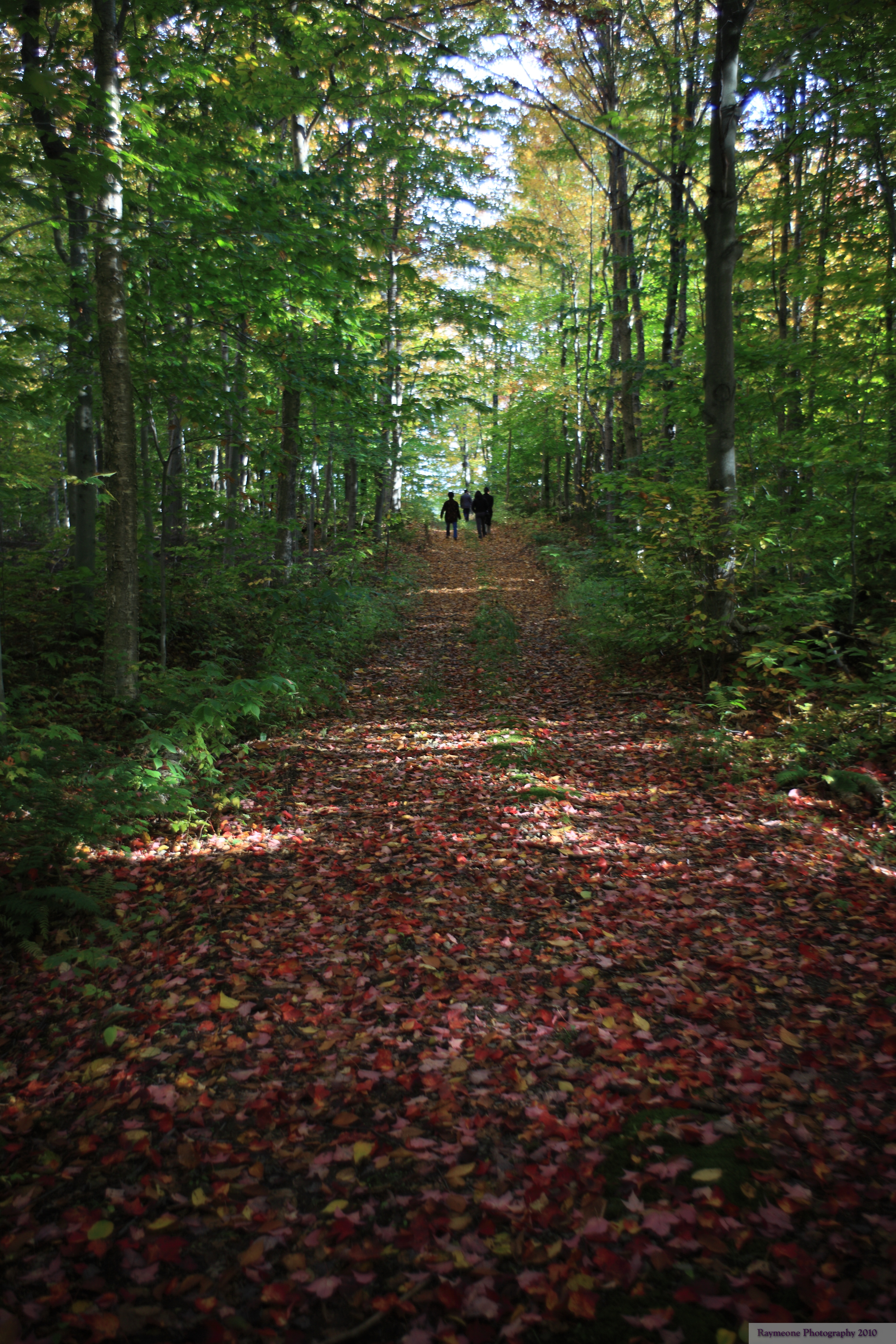
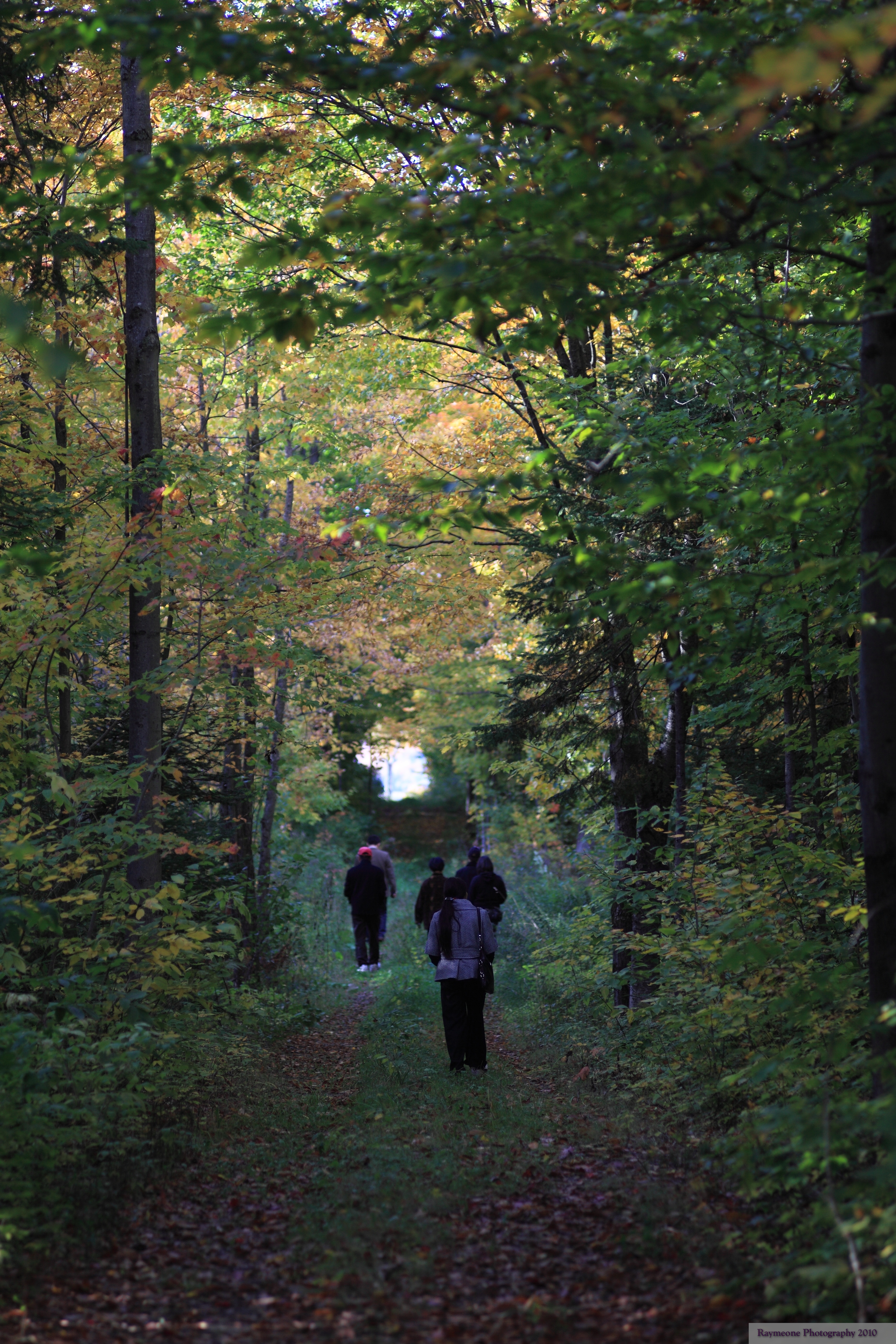
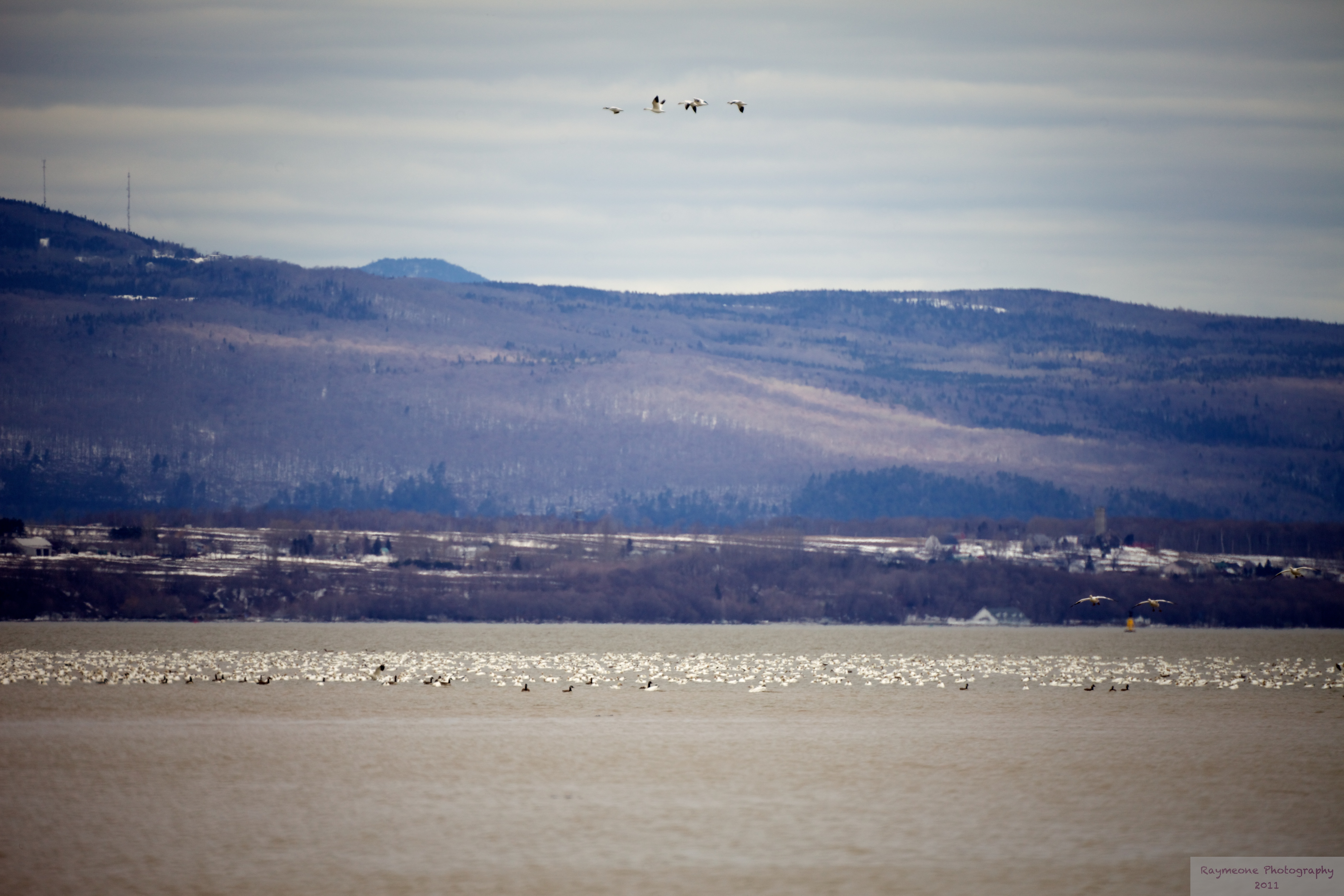
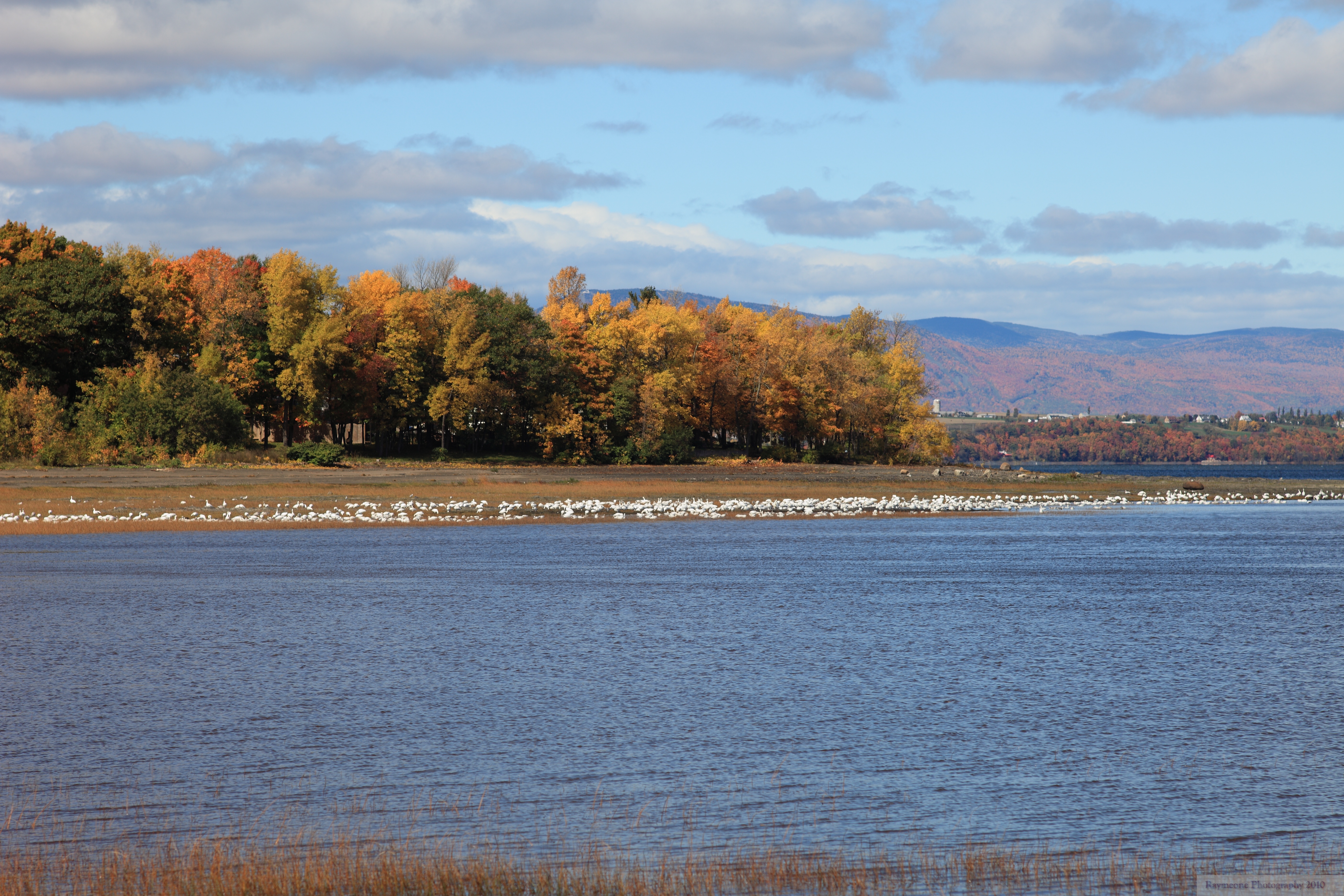
Related Photos:
Le couple

Séculaire
Bonjour, la route!

En rouge
le convoi

Chutes d'Armagh 005
Chutes d'Armagh 001

Chutes d'Armagh 006
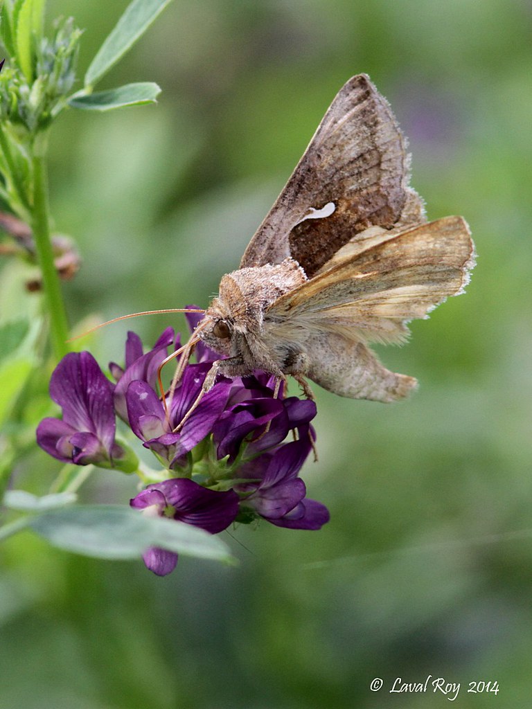
Autographe du céleri / Anagrapha falcifera / Celery Looper
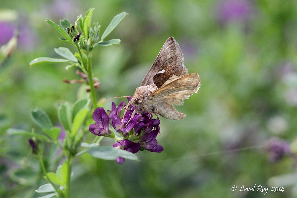
Autographe du céleri / Anagrapha falcifera / Celery Looper
GUEJ_2012-12-31_11-11-30.jpg
Saint-Vallier, Quebec
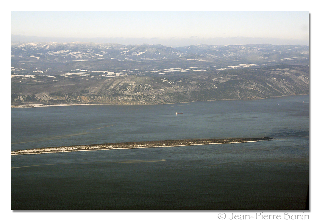
Fleuve Saint-Laurent, Île au Ruau, Myrsini, IMO:9422940 Flag:Marshall Islands, Bulk Carrier, Cap Tourment sur la rive nord _DSC4353 copy
Saint Michel de Bellechasse
Saint-Vallier, Quebec
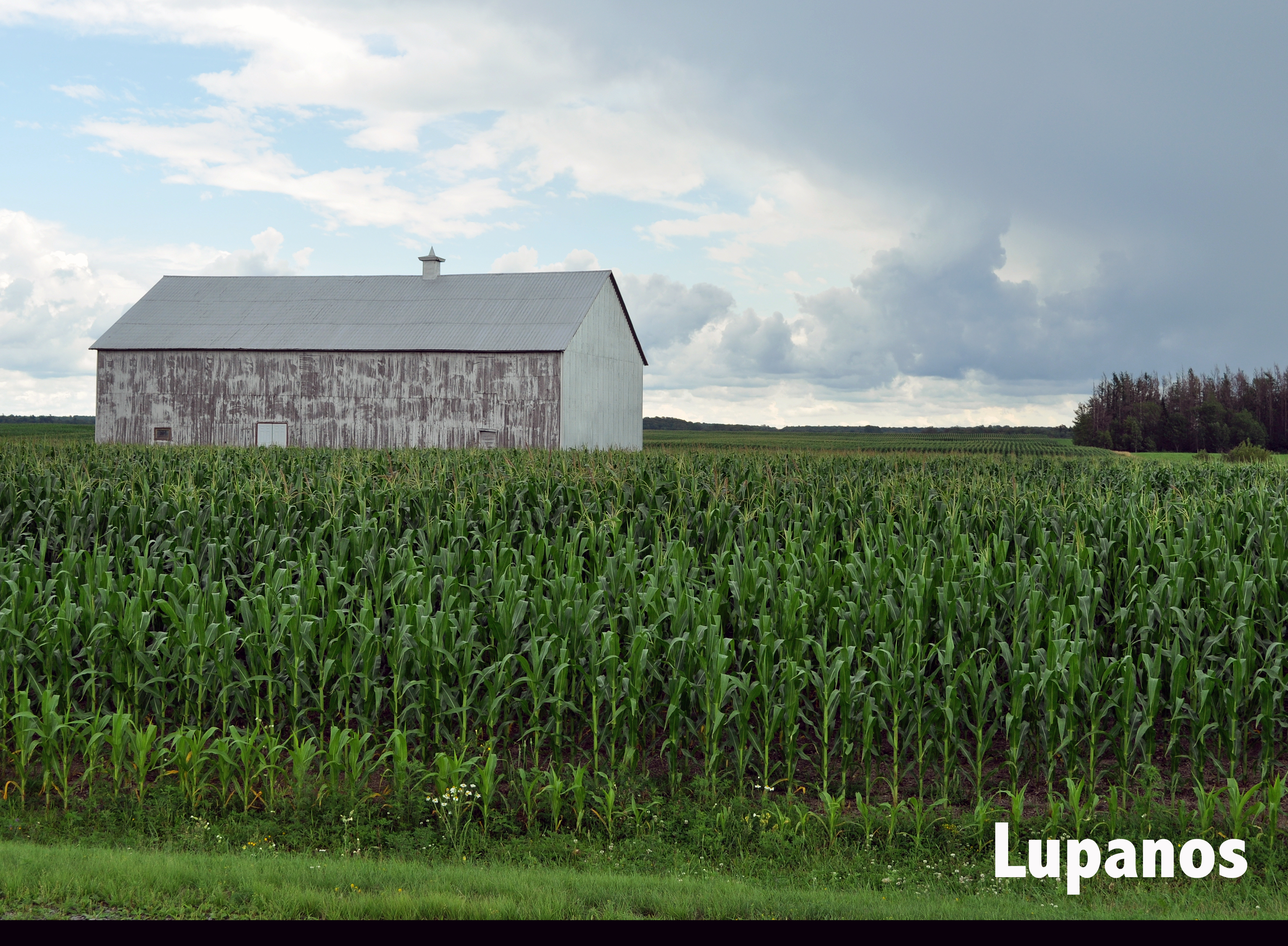
du bon blé d inde
Saint Michel de Bellechasse

Saint Michel de Bellechasse
Saint Michel de Bellechasse
Saint-Vallier, Quebec
Saint Michel de Bellechasse
Topographic Map of QC-, Saint-Raphaël, QC G0R 4C0, Canada
Find elevation by address:

Places near QC-, Saint-Raphaël, QC G0R 4C0, Canada:
Saint-raphaël
955 Rue De L'Église E
Saint-raphaël
Saint-nérée
Saint-nérée-de-bellechasse
Rue des Saules, Saint-Nérée, QC G0R 3V0, Canada
Chemin de Valléville, Saint-Vallier, QC G0R 4J0, Canada
Chemin Saint François O, Saint-François-de-la-Rivière-du-Sud, QC G0R 3A0, Canada
Saint-françois-de-la-rivière-du-sud
Armagh
Armagh
Rue Principale, Armagh, QC G0R 1A0, Canada
Saint-vallier
Berthier-sur-mer
Saint-damien-de-buckland
Rue Commerciale, Saint-Damien-de-Buckland, QC G0R 2Y0, Canada
Bellechasse Regional County Municipality
Saint-damien-de-buckland
Saint-gervais
Route Jean-Baptiste-Casault, Montmagny, QC G5V 3R8, Canada
Recent Searches:
- Elevation of Corso Fratelli Cairoli, 35, Macerata MC, Italy
- Elevation of Tallevast Rd, Sarasota, FL, USA
- Elevation of 4th St E, Sonoma, CA, USA
- Elevation of Black Hollow Rd, Pennsdale, PA, USA
- Elevation of Oakland Ave, Williamsport, PA, USA
- Elevation of Pedrógão Grande, Portugal
- Elevation of Klee Dr, Martinsburg, WV, USA
- Elevation of Via Roma, Pieranica CR, Italy
- Elevation of Tavkvetili Mountain, Georgia
- Elevation of Hartfords Bluff Cir, Mt Pleasant, SC, USA