Elevation of Pyrites Russell Rd, Hermon, NY, USA
Location: United States > New York > St. Lawrence County > Hermon > Hermon >
Longitude: -75.16012
Latitude: 44.488798
Elevation: 200m / 656feet
Barometric Pressure: 99KPa
Elevation Map:
Satellite Map:
Related Photos:
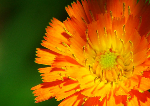
Close-up

Curving Road
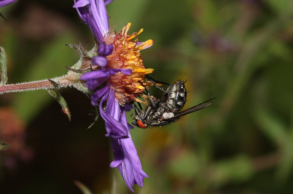
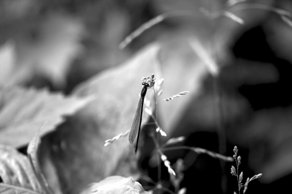
Lord Of The Flies
A View From Below
"It's So Tasty Too!"

View from the townhouse.

Liberal Arts

Butterfly Kisses
Take Time To Stop & Eat The Weeds

Milkweed Seeds

Eastern Tent Caterpiller

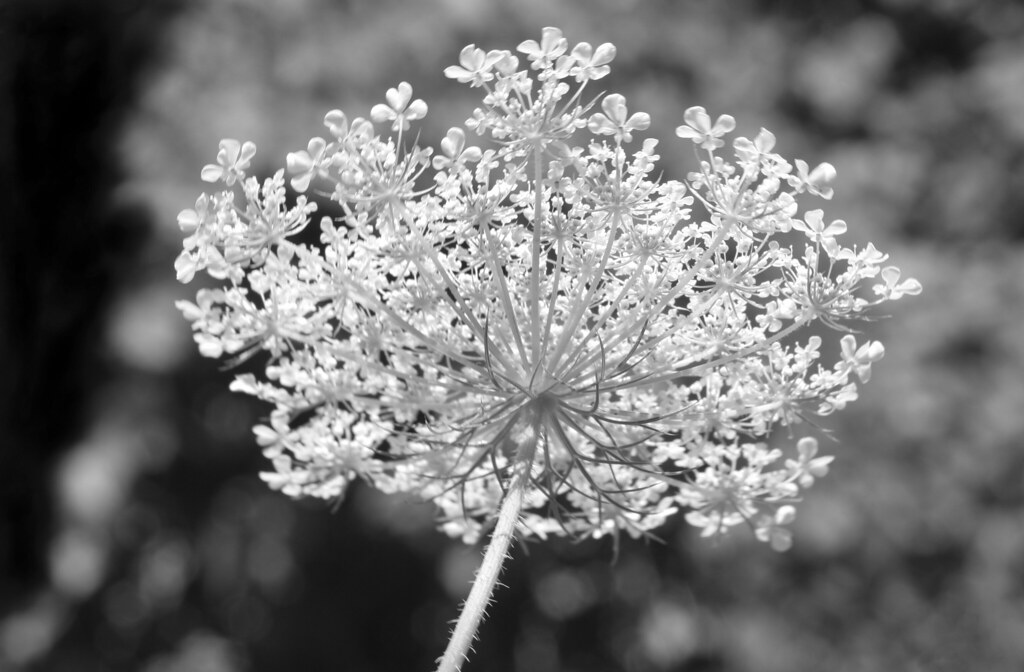
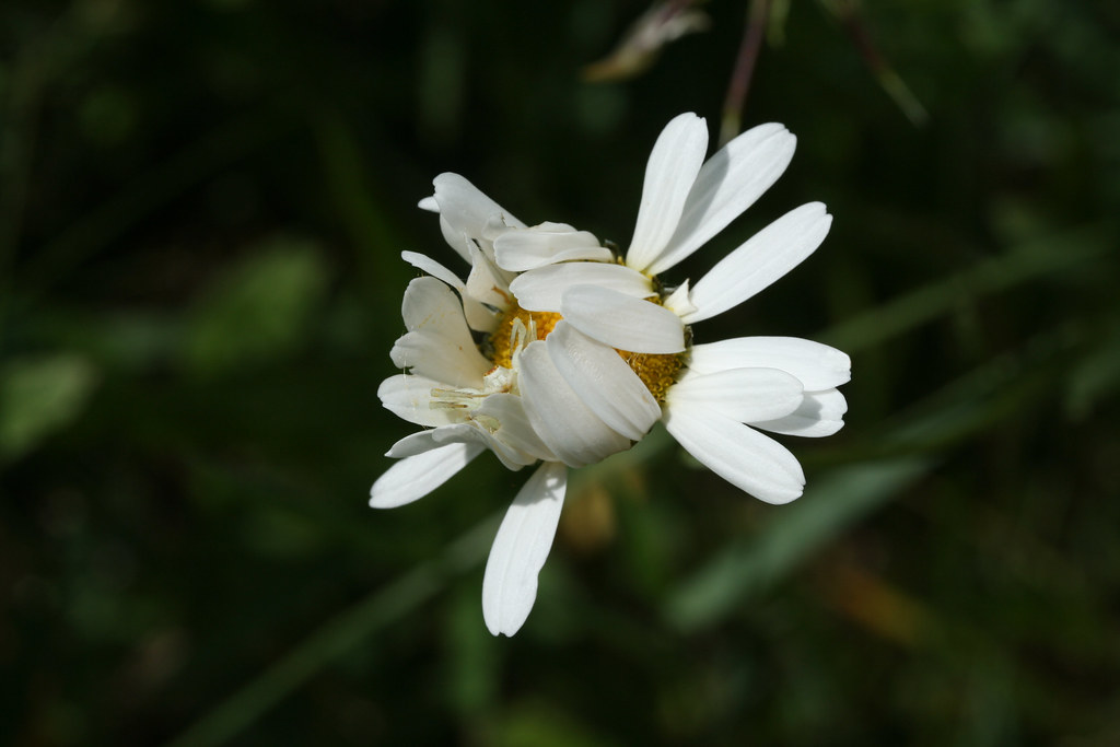
Daisy In B&W

American Flag

A Gaggle Of Geese

Harper Falls

Caught In The Act Of Snacking
Cleverly Hidden

A View From Above

South to the Adirondacks

Grocery Shopping

The Oxbow by the Sustainability Farm

One Red Tree

Campus on the Eve of Finals Week

Autumn Leaves II

SUNY Canton on the Grasse River

Beautiful day. #SLU

Light & Dark

Photo 47

Lampson Falls

#grasseriver at it's finest.

October Hike

Last Light Before Commencement

erie Grasse River

Northern Crescent

St. Lawrence Winter Flight

Vulture Committee

underexposed curves adjustment

cows crossing
Topographic Map of Pyrites Russell Rd, Hermon, NY, USA
Find elevation by address:

Places near Pyrites Russell Rd, Hermon, NY, USA:
1 Churchill St, Hermon, NY, USA
4 Pestle Street Rd, Russell, NY, USA
Russell
110 Germain St
Hermon
138 Church St
Russell
10 Fordham Hill Rd, Hermon, NY, USA
Canton
Grasse River Heritage
1894 Ny-68
51 State St
De Kalb Junction
Canton
282 Dana Hill Rd
Pierrepont
8 Sunset Blvd
8 Sunset Blvd
Commercial Press
Hermon
Recent Searches:
- Elevation of Côte-des-Neiges, Montreal, QC H4A 3J6, Canada
- Elevation of Bobcat Dr, Helena, MT, USA
- Elevation of Zu den Ihlowbergen, Althüttendorf, Germany
- Elevation of Badaber, Peshawar, Khyber Pakhtunkhwa, Pakistan
- Elevation of SE Heron Loop, Lincoln City, OR, USA
- Elevation of Slanický ostrov, 01 Námestovo, Slovakia
- Elevation of Spaceport America, Co Rd A, Truth or Consequences, NM, USA
- Elevation of Warwick, RI, USA
- Elevation of Fern Rd, Whitmore, CA, USA
- Elevation of 62 Abbey St, Marshfield, MA, USA