Elevation of Pyhäntä, Finland
Location: Finland >
Longitude: 26.4284784
Latitude: 64.0736412
Elevation: 154m / 505feet
Barometric Pressure: 99KPa
Elevation Map:
Satellite Map:
Related Photos:

View after sunset at lake Iso-Lamujärvi #sunset #landscape #lake #winter #Pyhäntä #christmas

Ahokylä - The bus stop (between Vieremä and Pyhäntä). Route 88

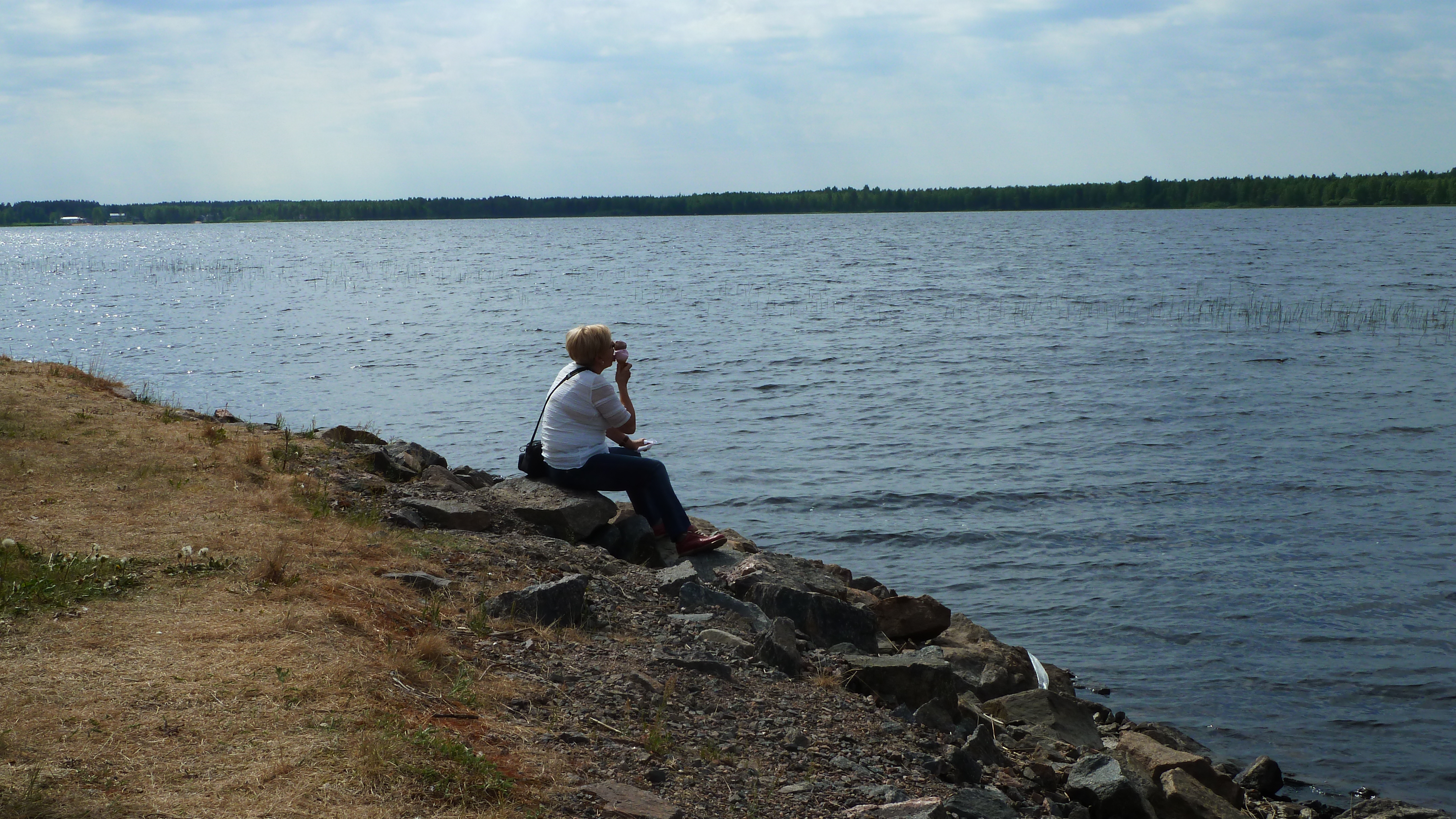
Siikalatva; Kivijärvi 10.6.2011

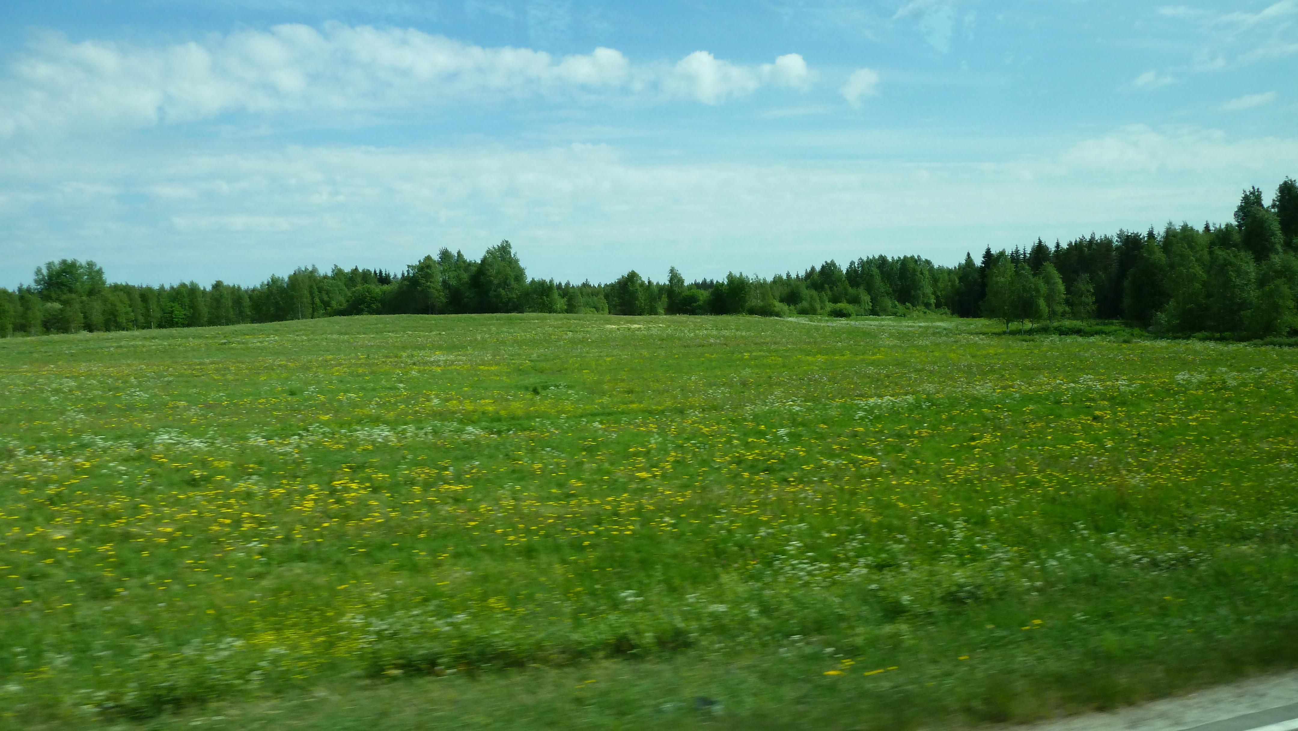
Pyhäntä; Muurainsuo 22.9.2012
11.03_Z000210_2013.06.07_11.25.48_B02305_3S
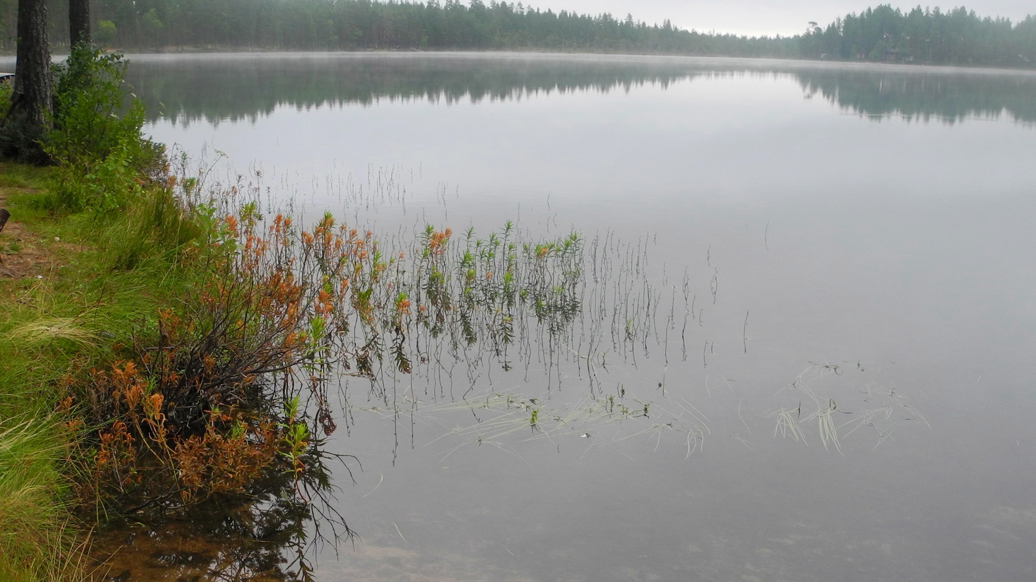
Lake Kontiolampi in a cloudy summer morning (Pyhäntä, 20140730)
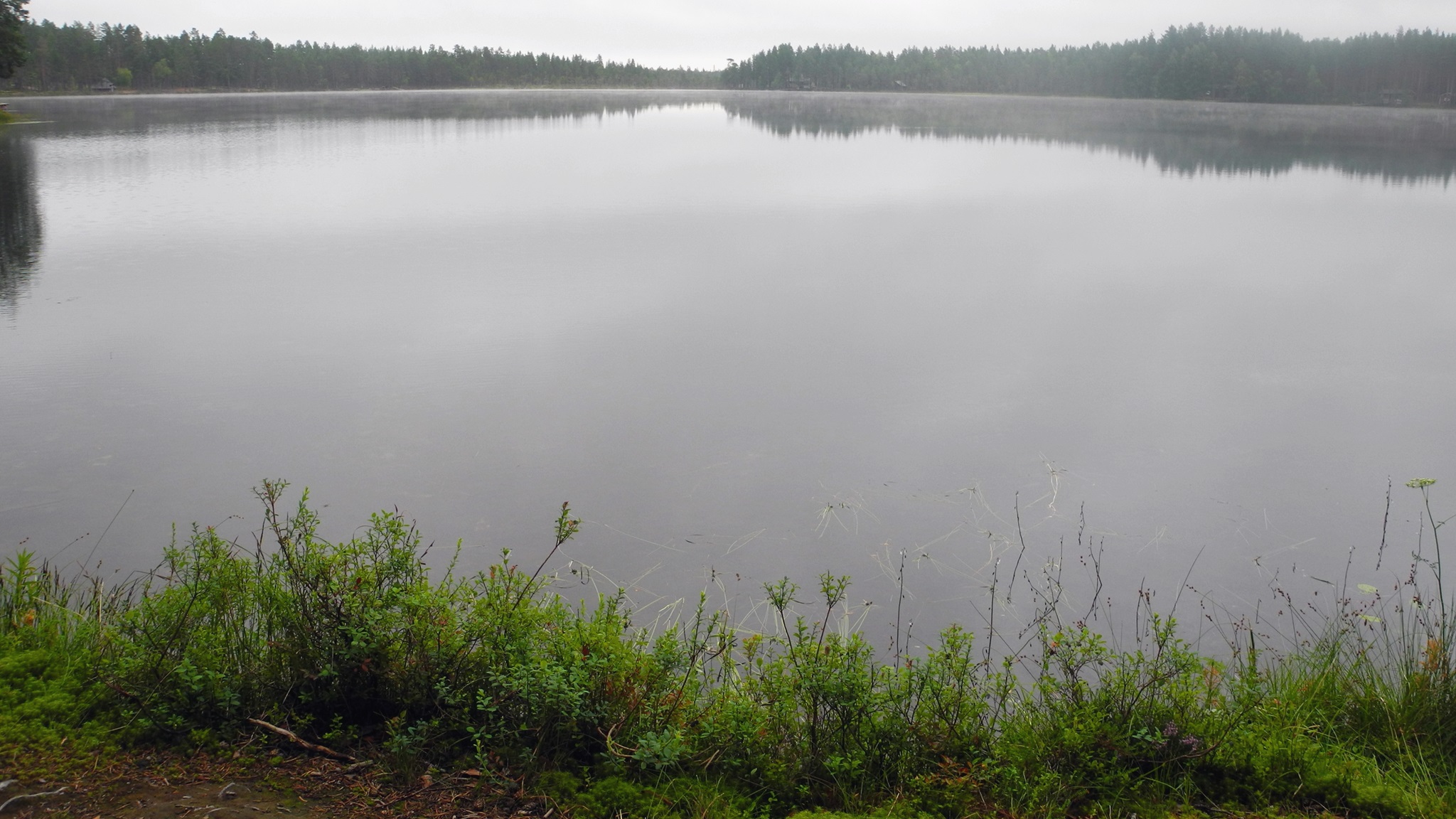
Lake Kontiolampi in a cloudy summer morning (Pyhäntä, 20140730)
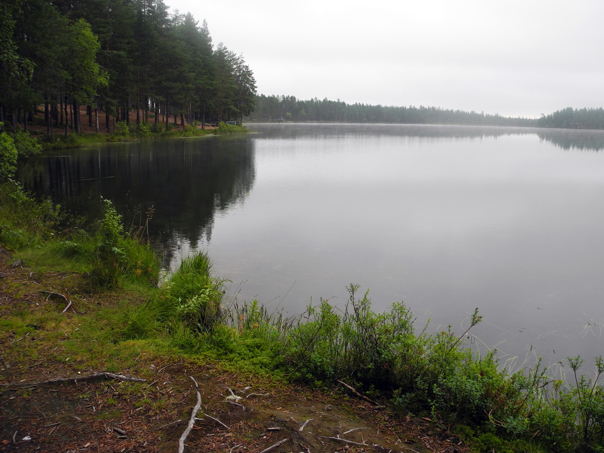
Lake Kontiolampi in a cloudy summer morning (Pyhäntä, 20140730)
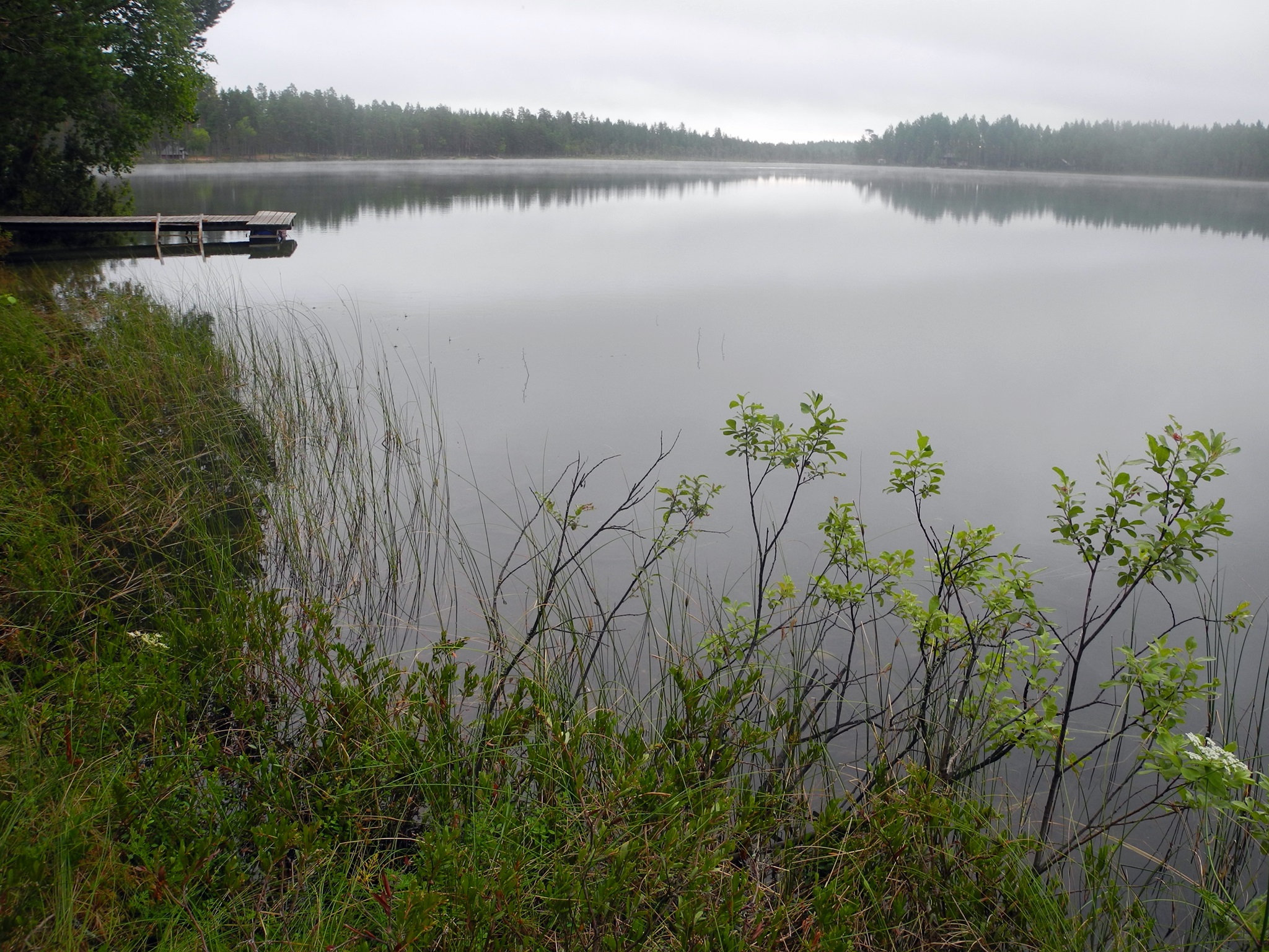
Lake Kontiolampi in a cloudy summer morning (Pyhäntä, 20140730)
11.04_Z000040_2013.06.07_12.04.40_B02316_3R
Topographic Map of Pyhäntä, Finland
Find elevation by address:

Places in Pyhäntä, Finland:
Places near Pyhäntä, Finland:
Recent Searches:
- Elevation of Elwyn Dr, Roanoke Rapids, NC, USA
- Elevation of Congressional Dr, Stevensville, MD, USA
- Elevation of Bellview Rd, McLean, VA, USA
- Elevation of Stage Island Rd, Chatham, MA, USA
- Elevation of Shibuya Scramble Crossing, 21 Udagawacho, Shibuya City, Tokyo -, Japan
- Elevation of Jadagoniai, Kaunas District Municipality, Lithuania
- Elevation of Pagonija rock, Kranto 7-oji g. 8"N, Kaunas, Lithuania
- Elevation of Co Rd 87, Jamestown, CO, USA
- Elevation of Tenjo, Cundinamarca, Colombia
- Elevation of Côte-des-Neiges, Montreal, QC H4A 3J6, Canada