Elevation of Pyburn Lane, Pyburn Ln, Greeneville, TN, USA
Location: United States > Tennessee > Greene County > Greeneville >
Longitude: -82.732424
Latitude: 36.3901749
Elevation: 464m / 1522feet
Barometric Pressure: 96KPa
Elevation Map:
Satellite Map:
Related Photos:
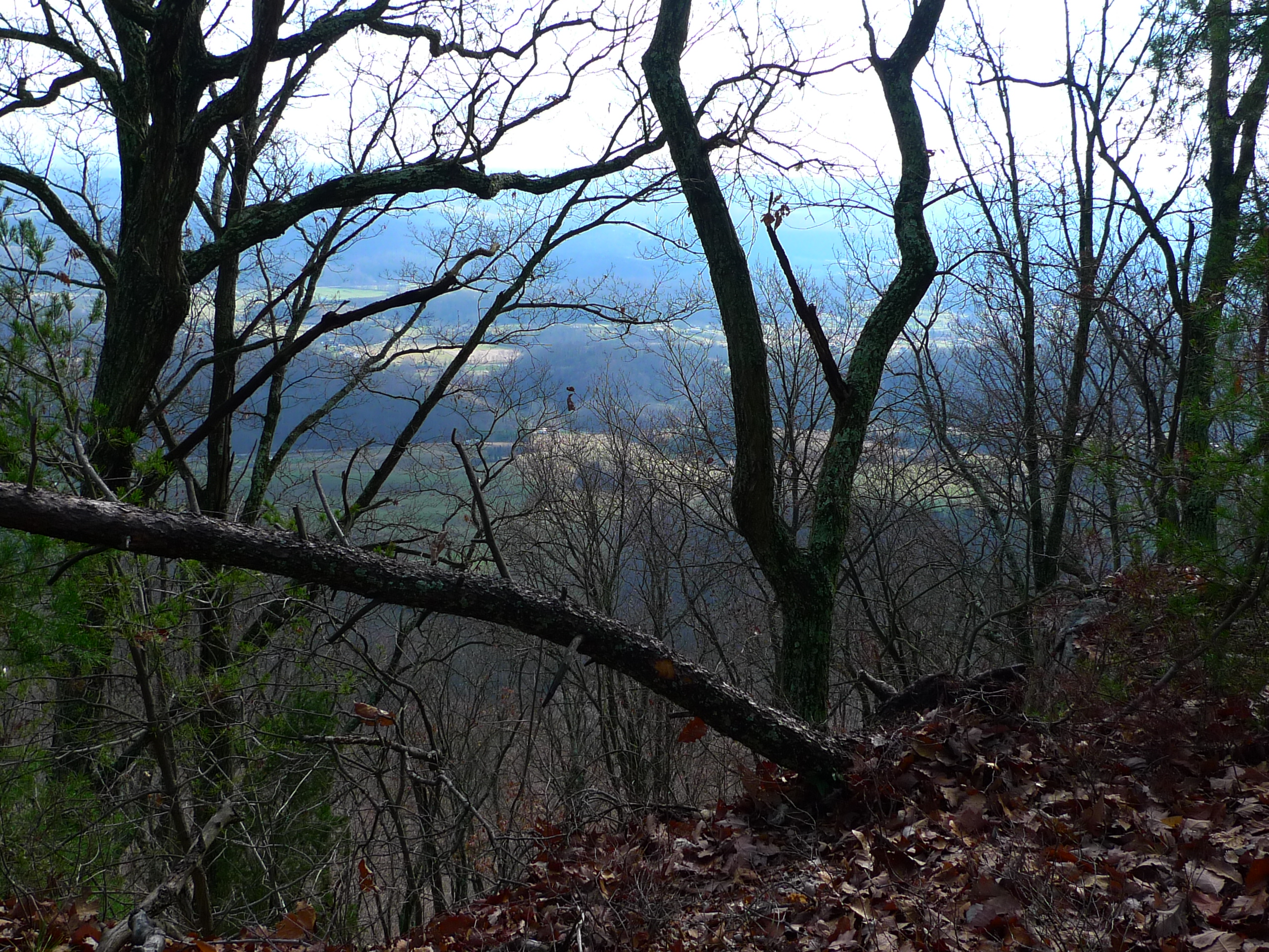
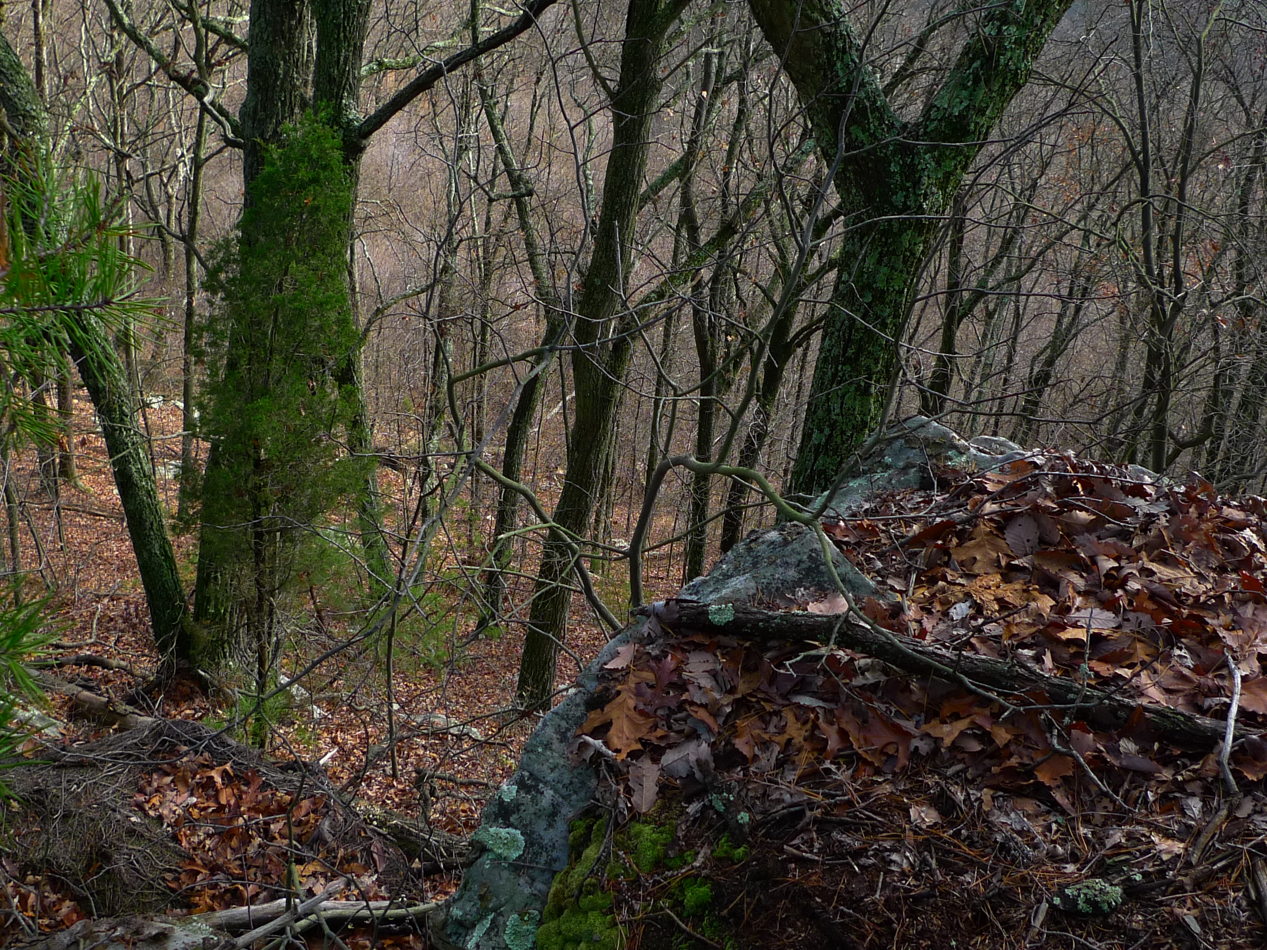
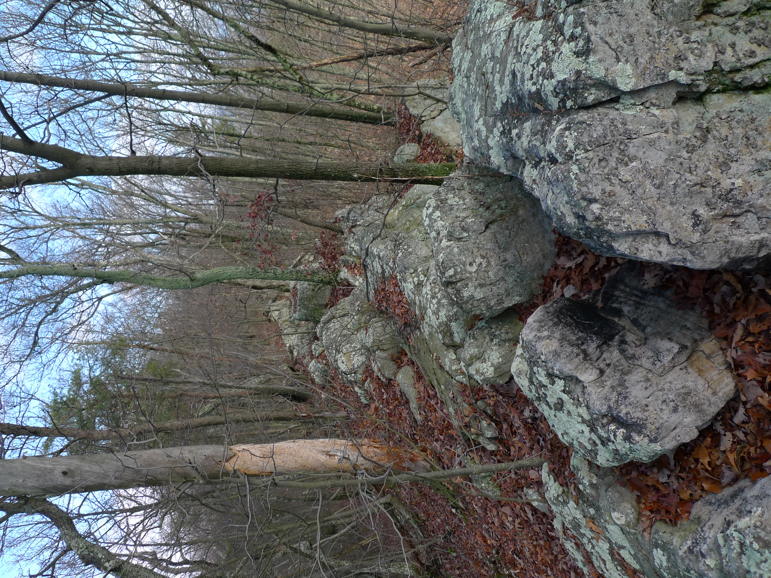
View from Bays Ridge

Feild View

Foggy View.
View from Bays Ridge
View from Bays Ridge

View from Bays Ridge

Tennessee mountains
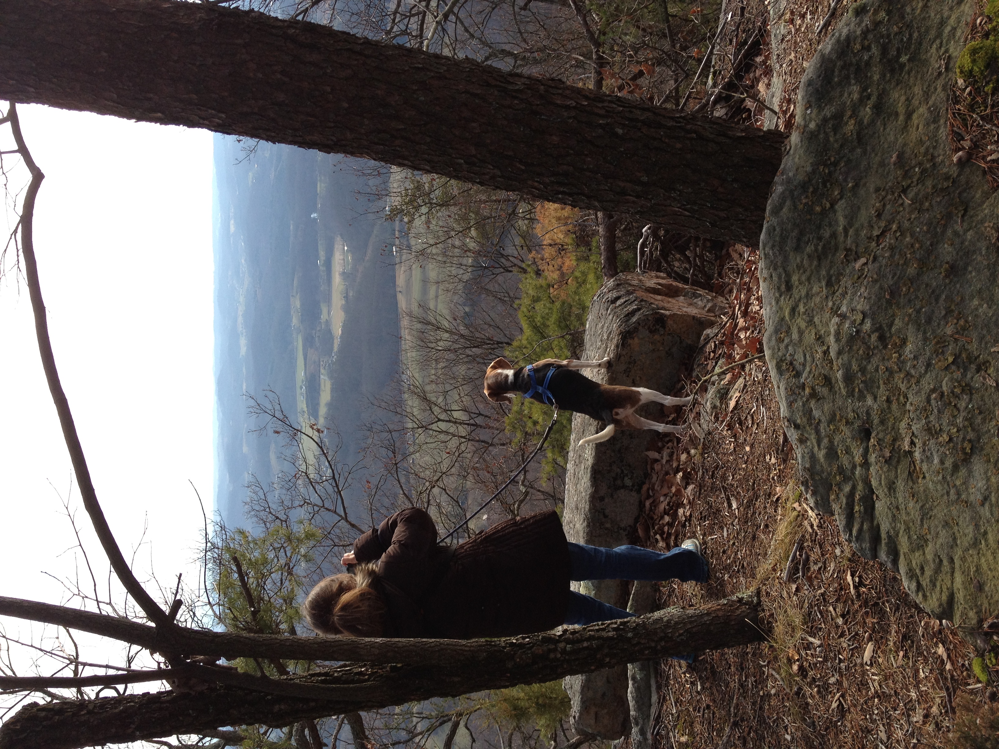
Taking in the view

View from Bays Ridge

view from Bays Mountain Park

Runnin' down a dream... and I'm so close to catchin' it. #cacamericorps

Seniors & Best Friends Natalie & Bethany
WP_20151120_002 (2)
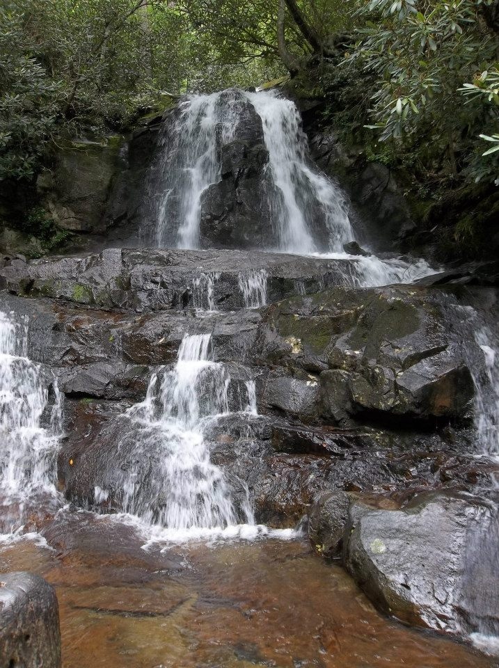
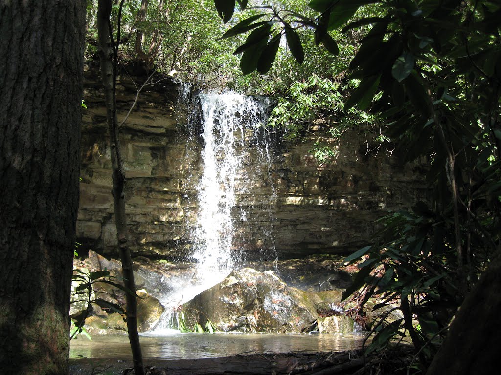
Laurel Falls

IMG_9300.JPG

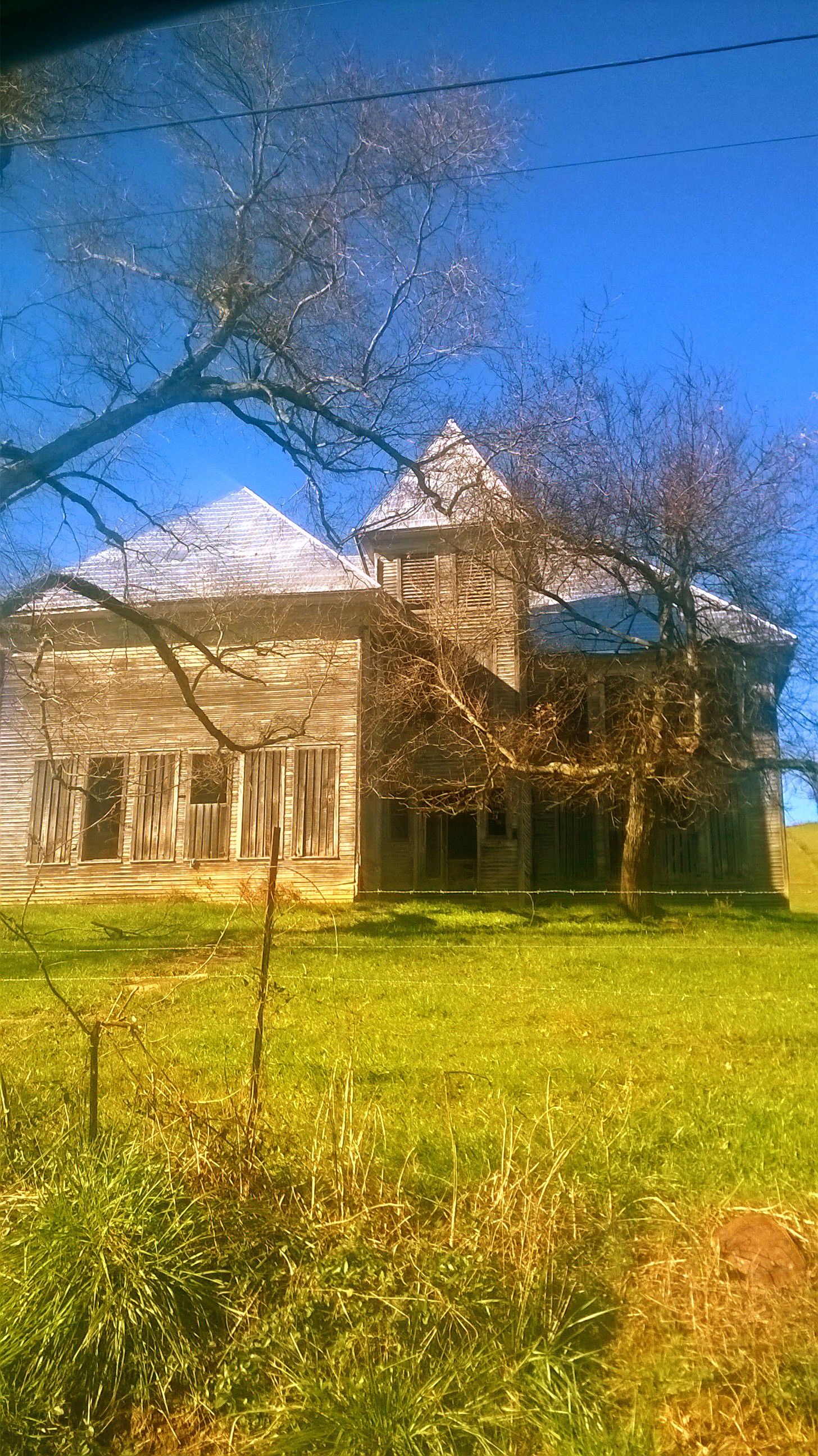
Hello ... ;-)
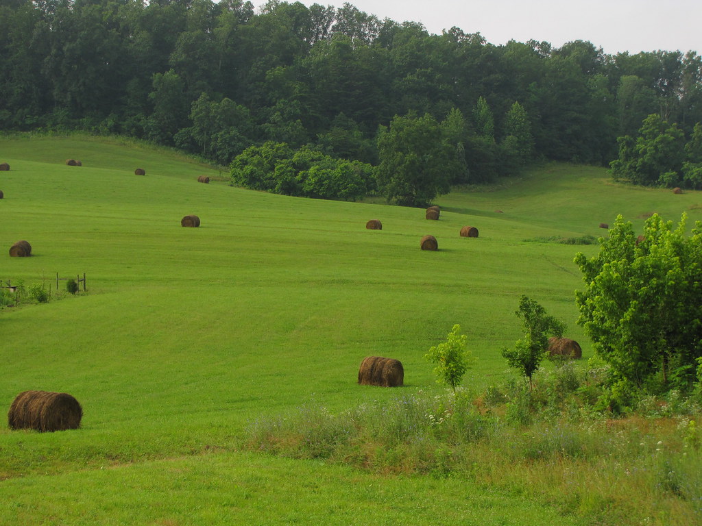
Tennessee Landscape
bays mountain trails
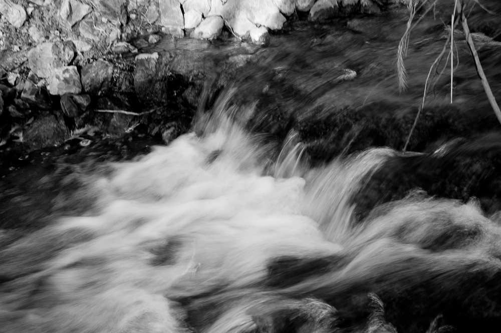
Runs_Into_Horse_Creek_(2_of_14)
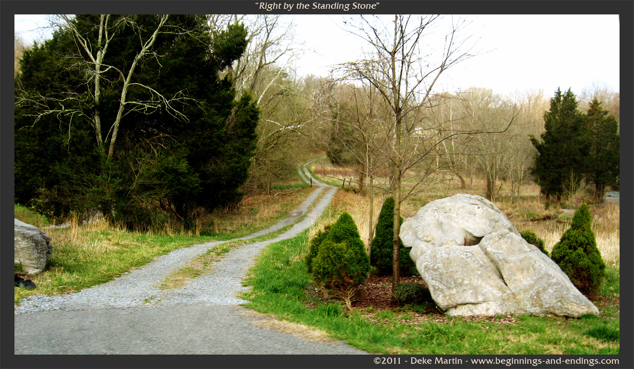
Right by the Standing Stone
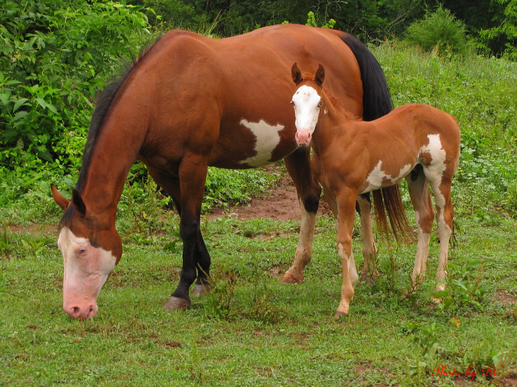
Mother and Son
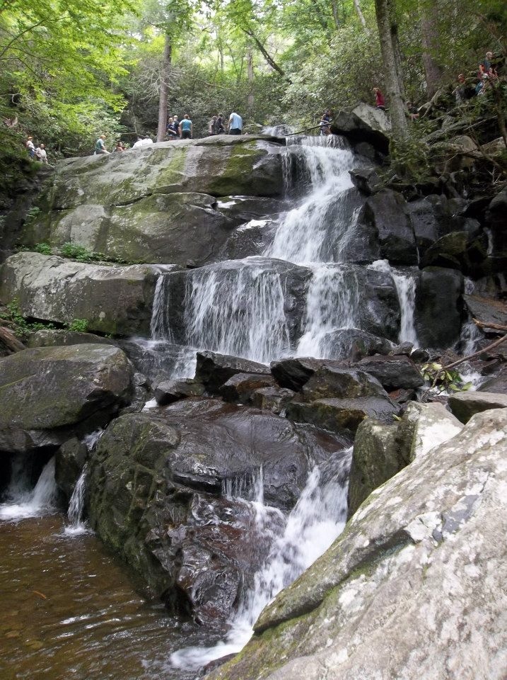
Laurel Falls
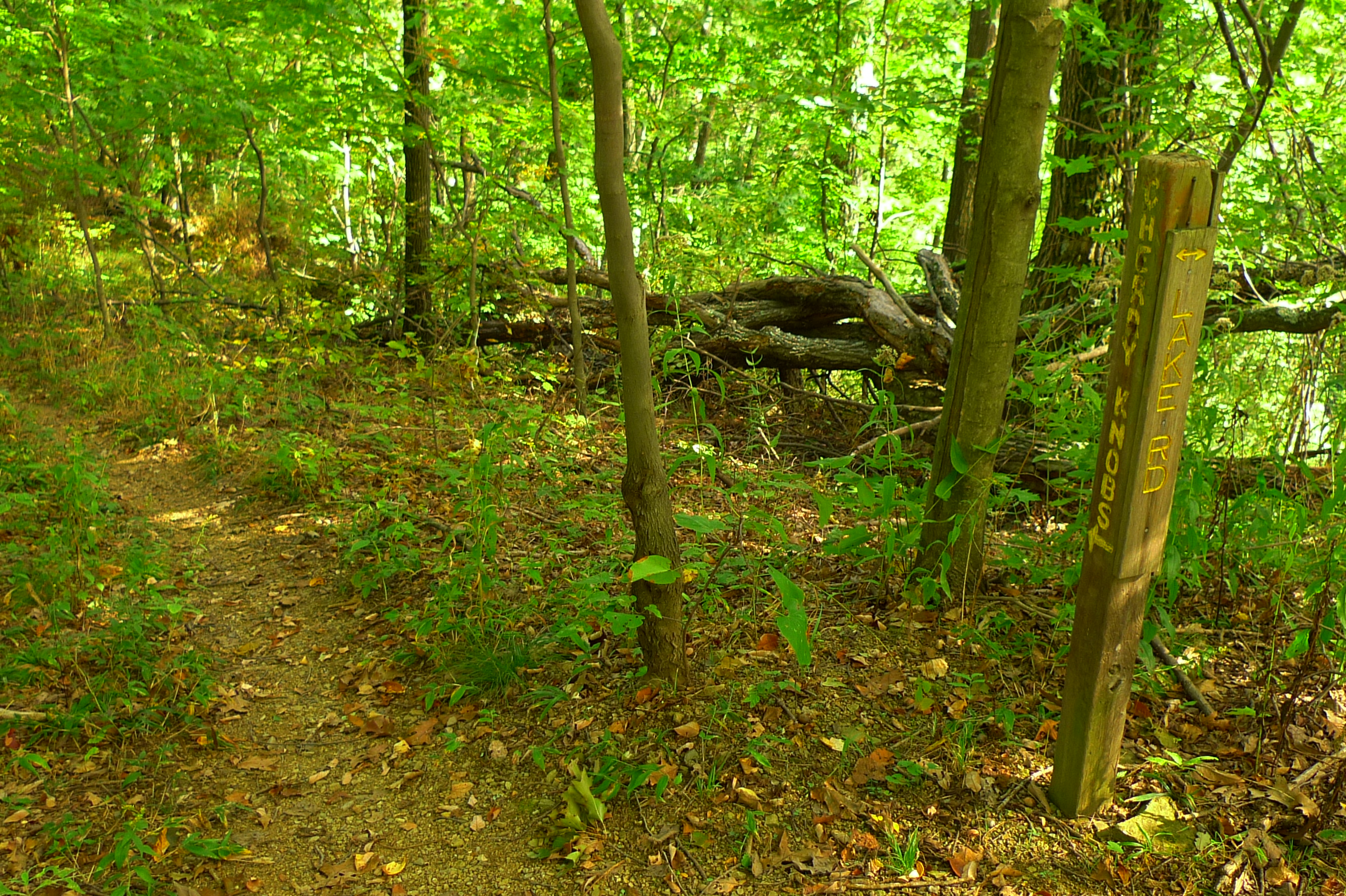
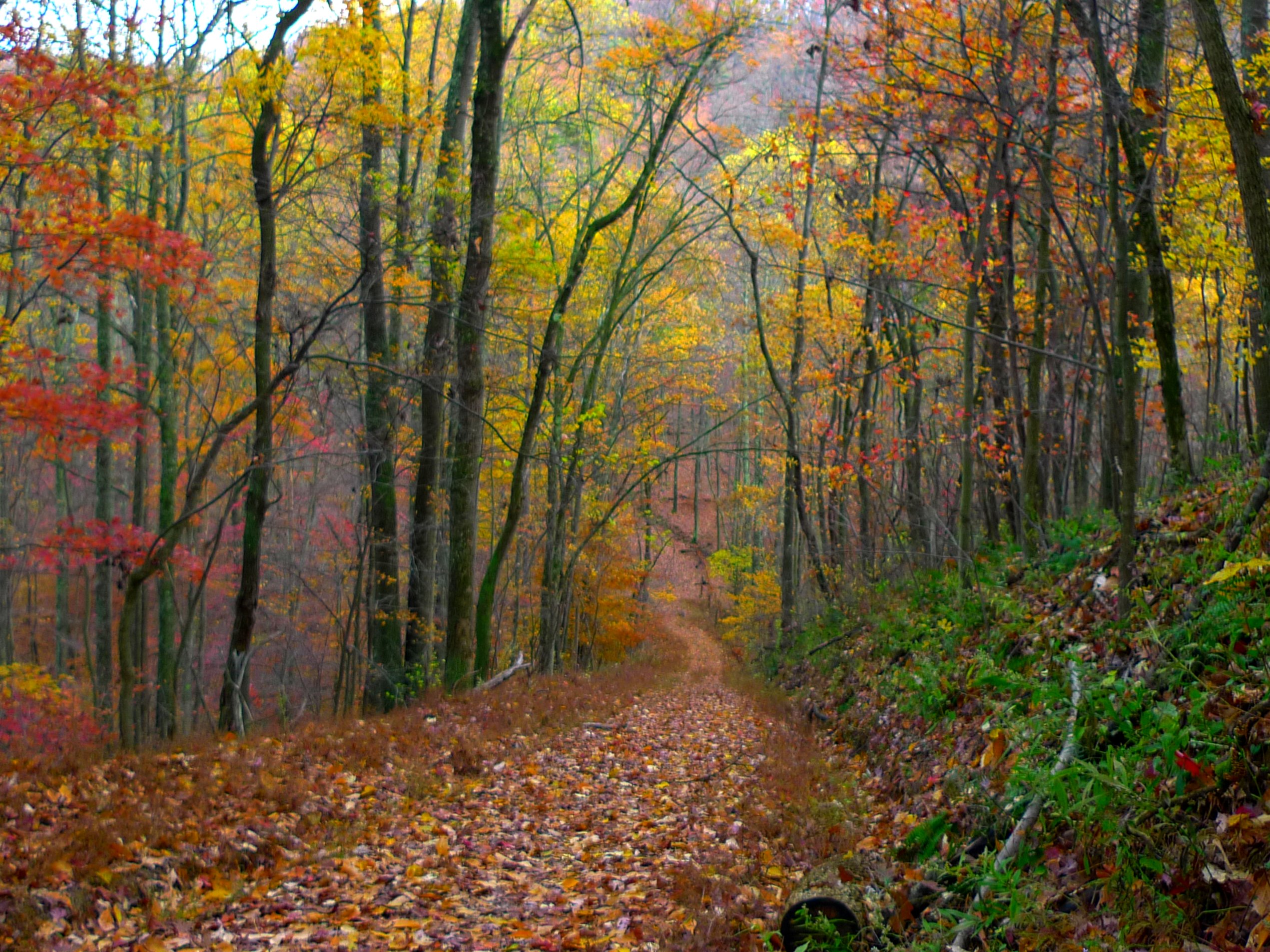
Cherry Knob Trail / Lake Rd
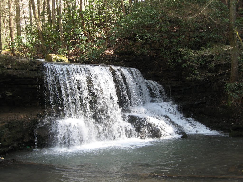
Kiner Creek Falls
68100117[2]

#sunsets #sunsetlovers #sunset
68100125[2]
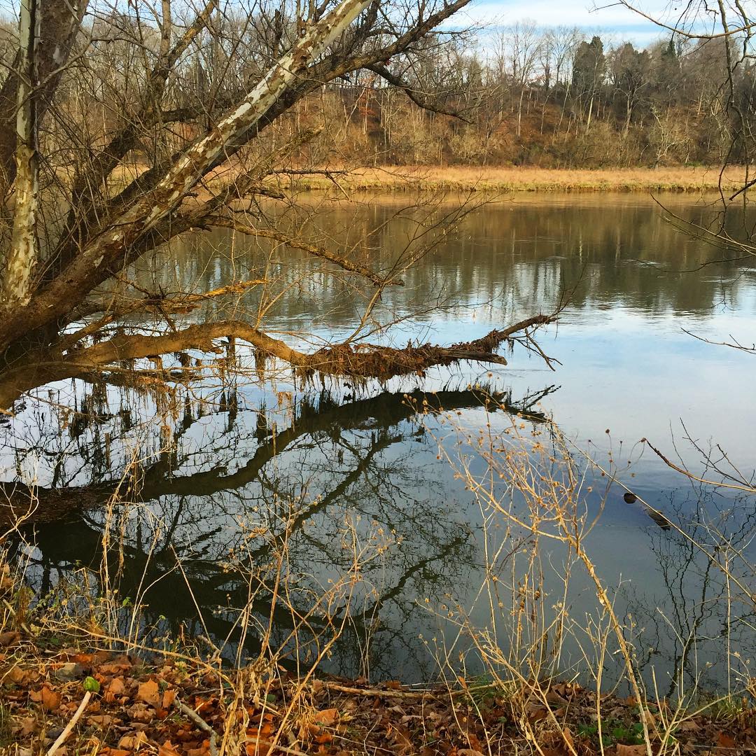
#holston #holstonriver #geocacher #geocache #geocachingadventures
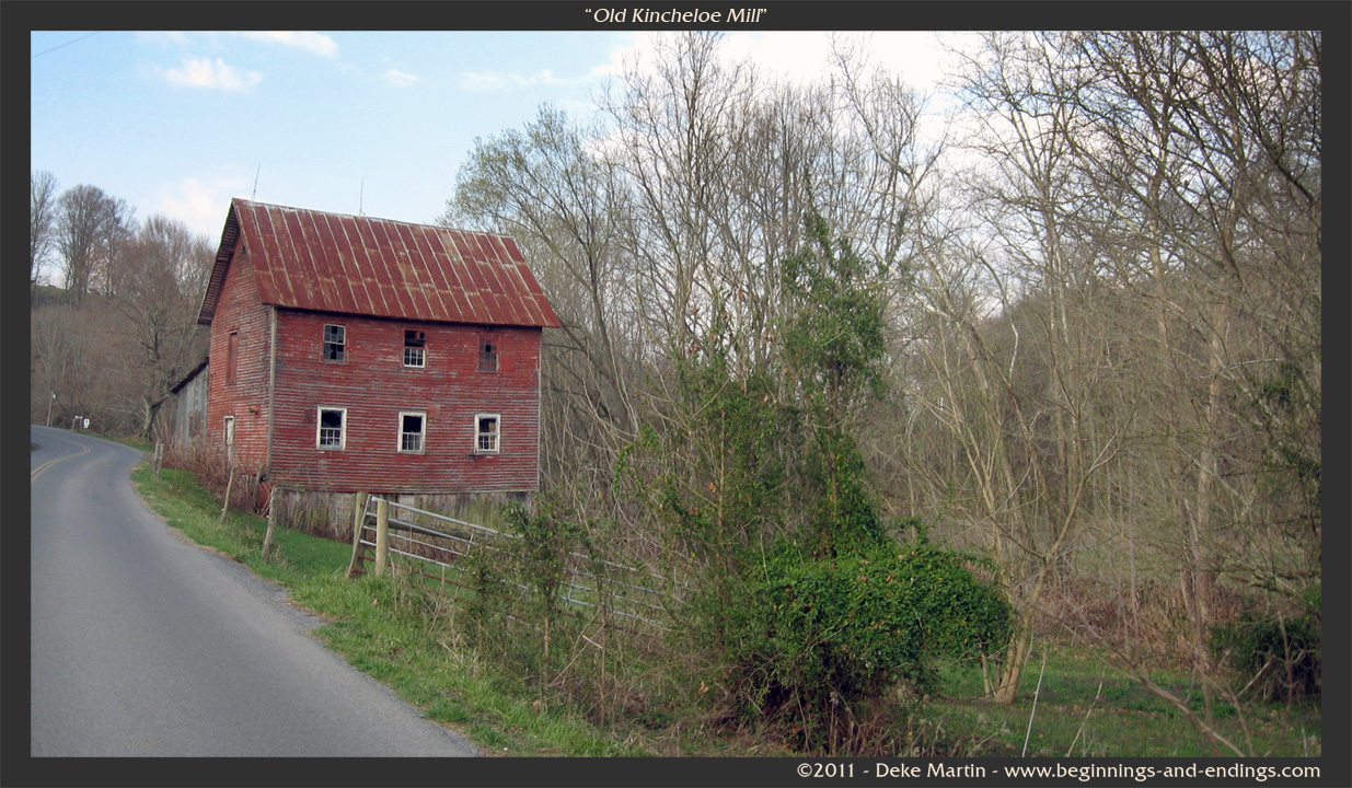
Old Kincheloe Mill

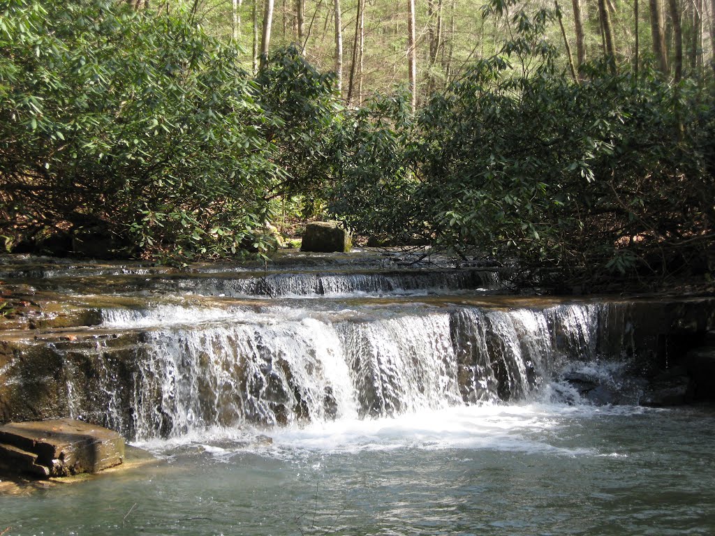
Laural Run State Park, Church Hill, Tn

Laural Run State Park, Church Hill, Tn
Topographic Map of Pyburn Lane, Pyburn Ln, Greeneville, TN, USA
Find elevation by address:

Places near Pyburn Lane, Pyburn Ln, Greeneville, TN, USA:
158 Miller Rd
Ben Hill Road
126 War Valley Rd
465 Poteat Ln
1968 Goshen Valley Rd
Goshen Valley Rd, Church Hill, TN, USA
Horton Hwy, Fall Branch, TN, USA
1705 Beech Creek Rd
377 Horton Hwy
Christian Bend Rd, Church Hill, TN, USA
Phipps Bend Rd, Surgoinsville, TN, USA
3328 Goshen Valley Rd
1811 War Valley Rd
356 Cole Light Rd
Fall Branch
Bays Mountain Road
Christian Bend Rd, Church Hill, TN, USA
Lyons Rd, Church Hill, TN, USA
Burem Rd, Rogersville, TN, USA
110 Ferry Rd
Recent Searches:
- Elevation of Lumagwas Diversified Farmers Multi-Purpose Cooperative, Lumagwas, Adtuyon, RV32+MH7, Pangantucan, Bukidnon, Philippines
- Elevation of Homestead Ridge, New Braunfels, TX, USA
- Elevation of Orchard Road, Orchard Rd, Marlborough, NY, USA
- Elevation of 12 Hutchinson Woods Dr, Fletcher, NC, USA
- Elevation of Holloway Ave, San Francisco, CA, USA
- Elevation of Norfolk, NY, USA
- Elevation of - San Marcos Pass Rd, Santa Barbara, CA, USA
- Elevation of th Pl SE, Issaquah, WA, USA
- Elevation of 82- D Rd, Captain Cook, HI, USA
- Elevation of Harlow CM20 2PR, UK