Elevation of Pureora Forest Park, New Zealand
Location: New Zealand > Manawatu-wanganui >
Longitude: 175.491485
Latitude: -38.634480
Elevation: -10000m / -32808feet
Barometric Pressure: 295KPa
Elevation Map:
Satellite Map:
Related Photos:

Timber Trail Cycleway, Pureora Forest, New Zealand

Timber Trail Cycleway, Pureora Forest, New Zealand

Timber Trail Cycleway, Pureora Forest, New Zealand

Forest canopy from suspension bridge

2017 03 26 e

Logging tramway turned cycleway

DL9400 DL9072 DC4467 Southbound freight Waimiha

New Zealand - North-42

Camera Roll-4655

New Zealand - North-36

New Zealand - North-33

New Zealand - North-44

Camera Roll-4654

New Zealand Pigeon
New Zealand - North-29

Sheep, Waimiha, Manawatu, New Zealand

New Zealand - North-38

New Zealand - North-39

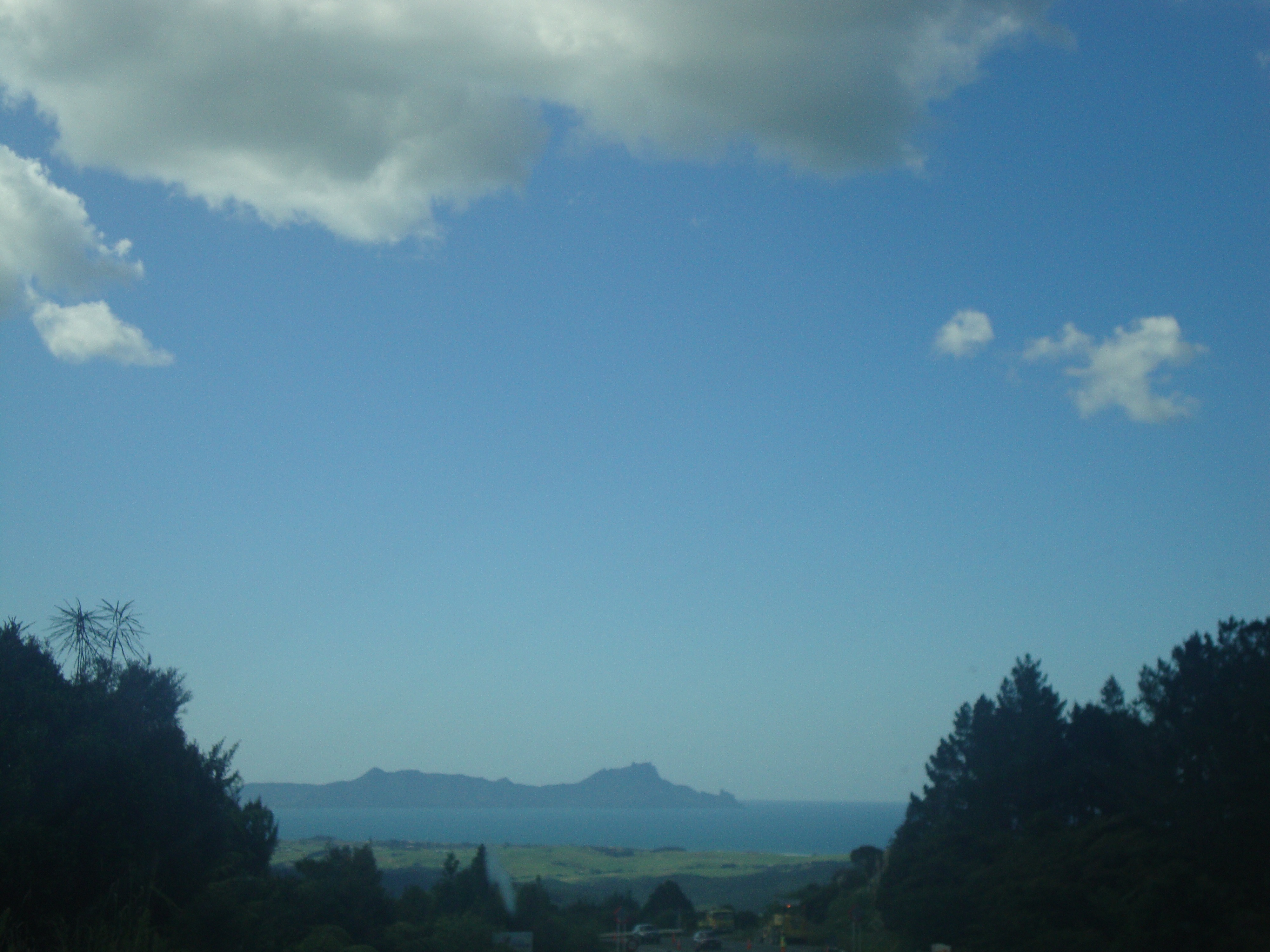
Waikato from Pureora

New Zealand - North-22

New Zealand - North-10

New Zealand - North-43
Topographic Map of Pureora Forest Park, New Zealand
Find elevation by address:

Places near Pureora Forest Park, New Zealand:
6 Ellison Ave
Wharepapa South
Waitomo District
Ketetahi Shelter
Piopio
27 Whitbourne Rd
46 Rotongata Road
Otorohanga
9 Sunset Close
Ruapehu District
Waitomo
National Park
Millar Street
Whakapapa
Tongariro National Park
Waikato
10 Arapuni Rd
Erua
Maungatautari Mountain
Mt Kakepuku
Recent Searches:
- Elevation of Beall Road, Beall Rd, Florida, USA
- Elevation of Leguwa, Nepal
- Elevation of County Rd, Enterprise, AL, USA
- Elevation of Kolchuginsky District, Vladimir Oblast, Russia
- Elevation of Shustino, Vladimir Oblast, Russia
- Elevation of Lampiasi St, Sarasota, FL, USA
- Elevation of Elwyn Dr, Roanoke Rapids, NC, USA
- Elevation of Congressional Dr, Stevensville, MD, USA
- Elevation of Bellview Rd, McLean, VA, USA
- Elevation of Stage Island Rd, Chatham, MA, USA