Elevation of Punta Baretti, Courmayeur, Aosta Valley, Italy
Location: Italy > Aosta > Aosta Valley > Courmayeur >
Longitude: 6.863333
Latitude: 45.814444
Elevation: 3933m / 12904feet
Barometric Pressure: 62KPa
Elevation Map:
Satellite Map:
Related Photos:

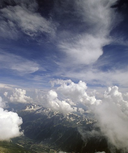
20140725-0054

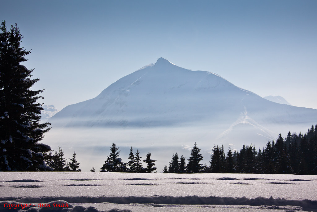
20140730-0281
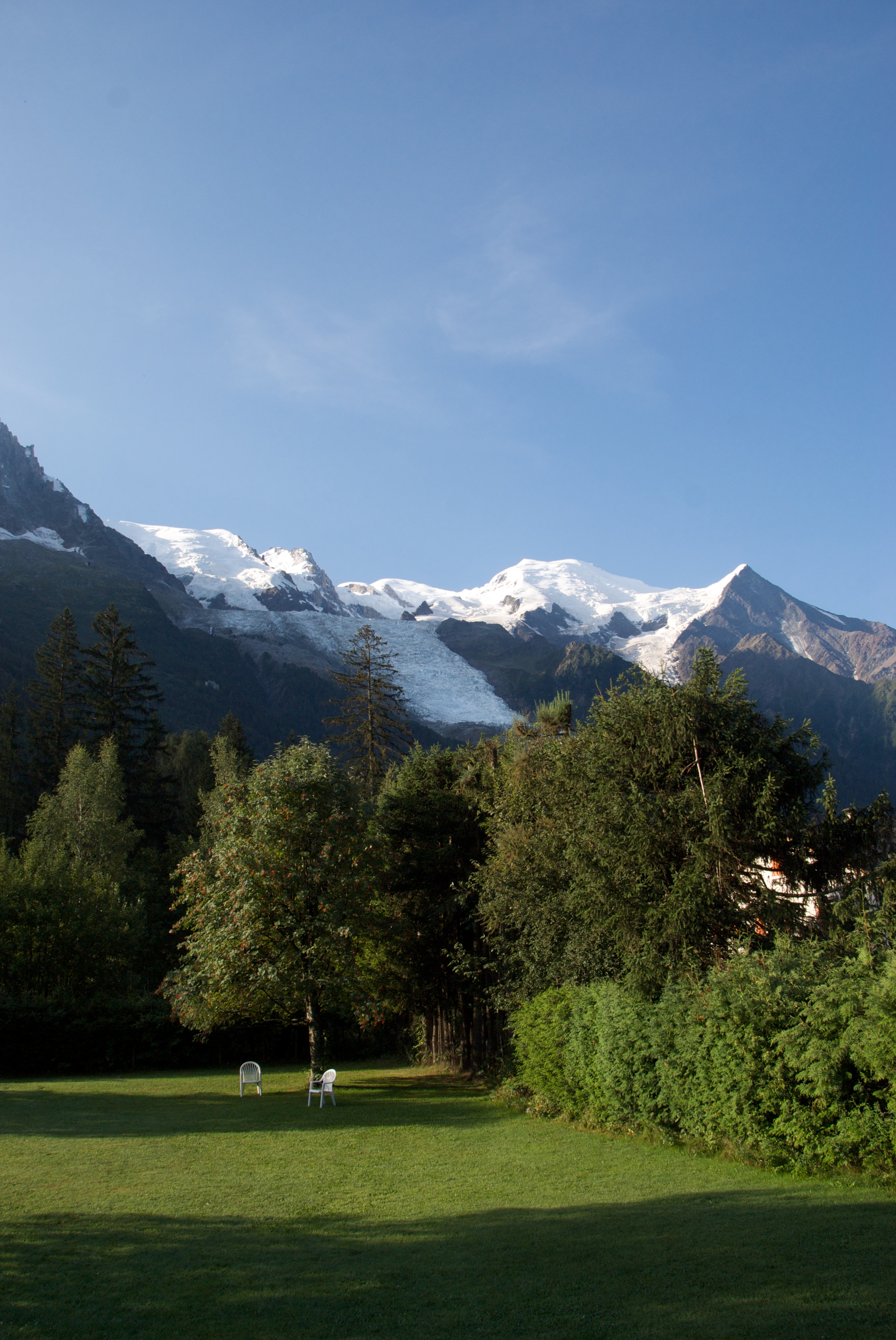
Chamonix Valley

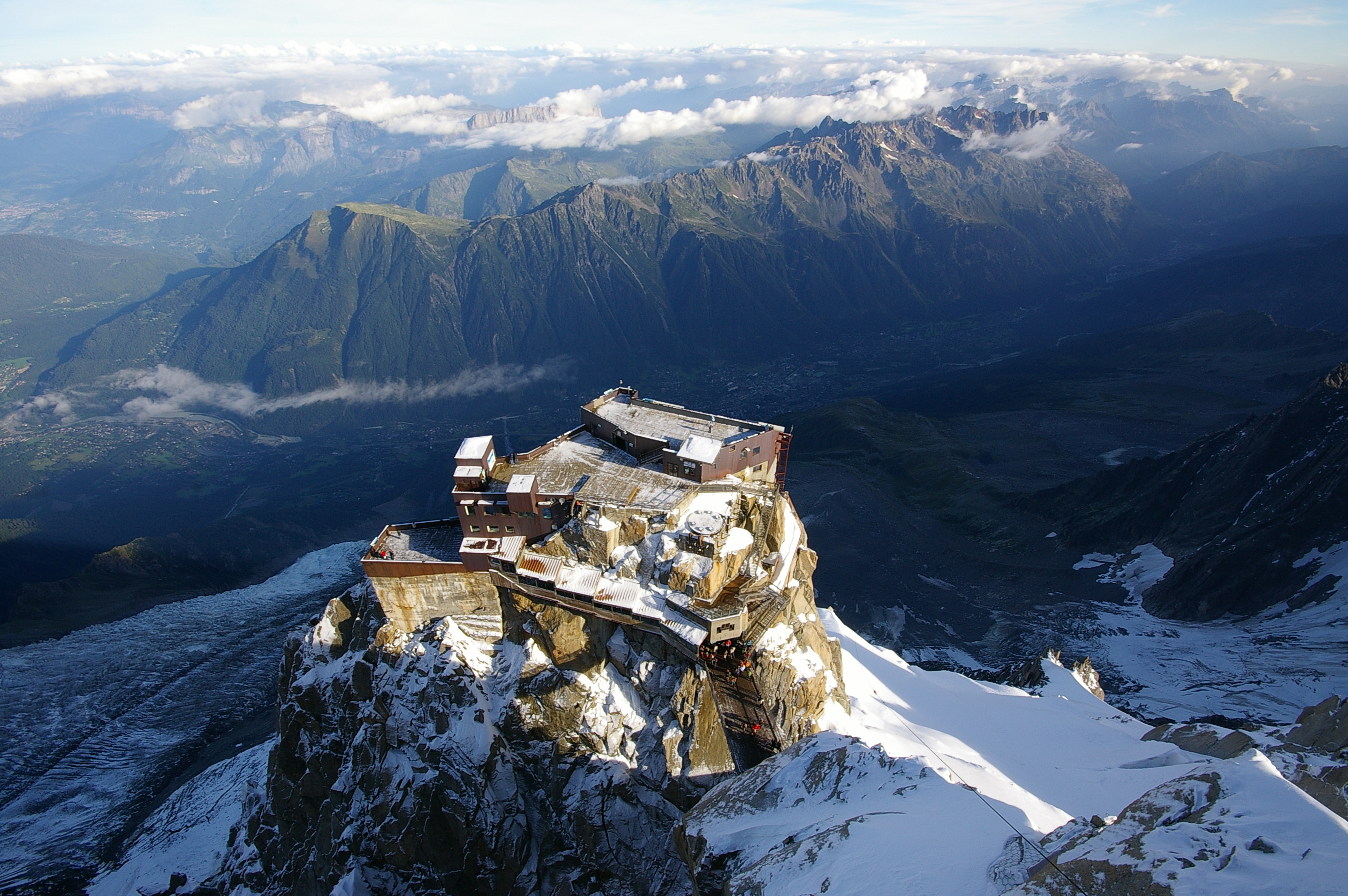
20140801-0335

20140724-0053

20140801-0345

20140725-0067

20140801-0337

20140730-0281

20140801-0345

20140801-0343

20140725-0154

20140725-0054

Argentiere-pano
Les Houches 2

20140725-0154

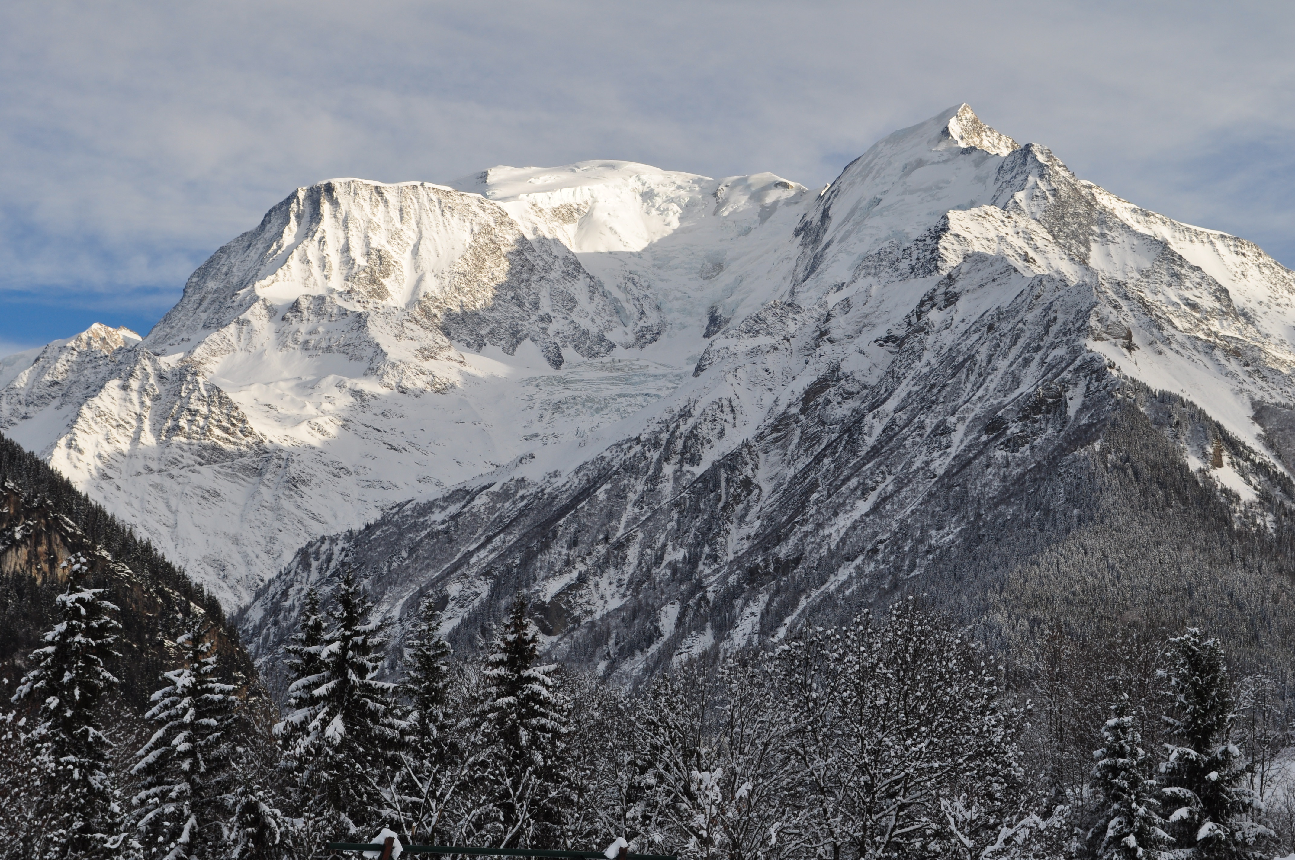
The Mont Blanc Massive
View from Chalet Viper
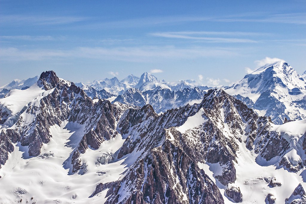
Vista d'alçada / Panorama from 3800 m.
Massif du Mont Blanc depuis Saint Nicolas de Veroce, commune de Saint Gervais-les-Bains, Haute-Savoie, Rhône-Alpes, France.
A Chamonix view
Topographic Map of Punta Baretti, Courmayeur, Aosta Valley, Italy
Find elevation by address:

Places near Punta Baretti, Courmayeur, Aosta Valley, Italy:
Mont Blanc
Chalet Del Miage
Refuge Du Goûter(3815m)
Aiguille De Bionnassay
Aiguille De Tré La Tête
Rifugio Elisabetta
Camping Aiguille-noire
Monte Bianco
Mont Blanc Tunnel
Aiguille Des Glaciers
Hotel Pilier D'angle
Pré-saint-didier
18 Route des Chalets de Miage, Saint-Gervais-les-Bains, France
Courmayeur
Courmayeur
Hotel Mont Blanc
Courmayeur
Grand Hotel Courmayeur Mont Blanc
Mont Miravidi
La Thuile
Recent Searches:
- Elevation of Corso Fratelli Cairoli, 35, Macerata MC, Italy
- Elevation of Tallevast Rd, Sarasota, FL, USA
- Elevation of 4th St E, Sonoma, CA, USA
- Elevation of Black Hollow Rd, Pennsdale, PA, USA
- Elevation of Oakland Ave, Williamsport, PA, USA
- Elevation of Pedrógão Grande, Portugal
- Elevation of Klee Dr, Martinsburg, WV, USA
- Elevation of Via Roma, Pieranica CR, Italy
- Elevation of Tavkvetili Mountain, Georgia
- Elevation of Hartfords Bluff Cir, Mt Pleasant, SC, USA