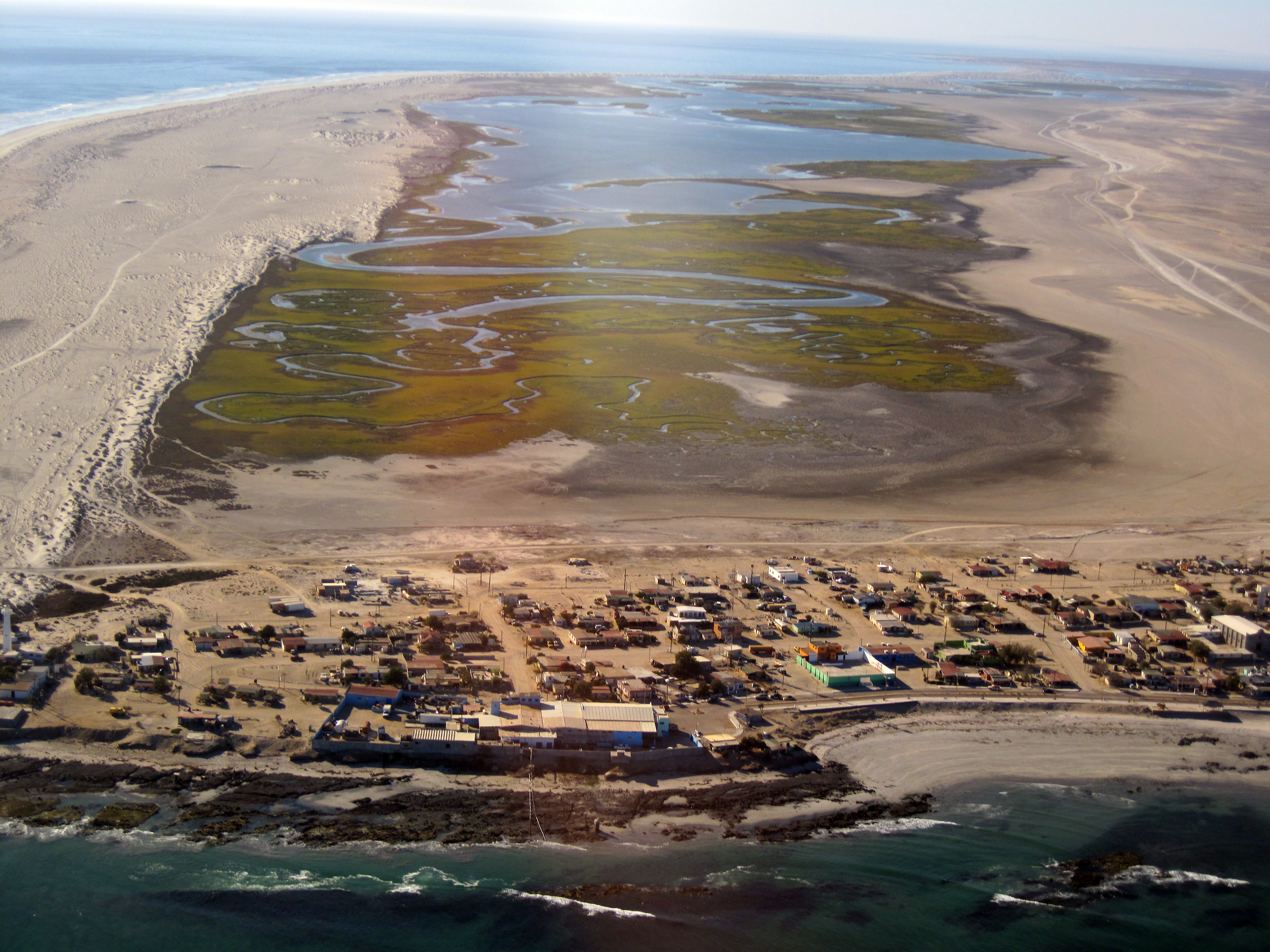
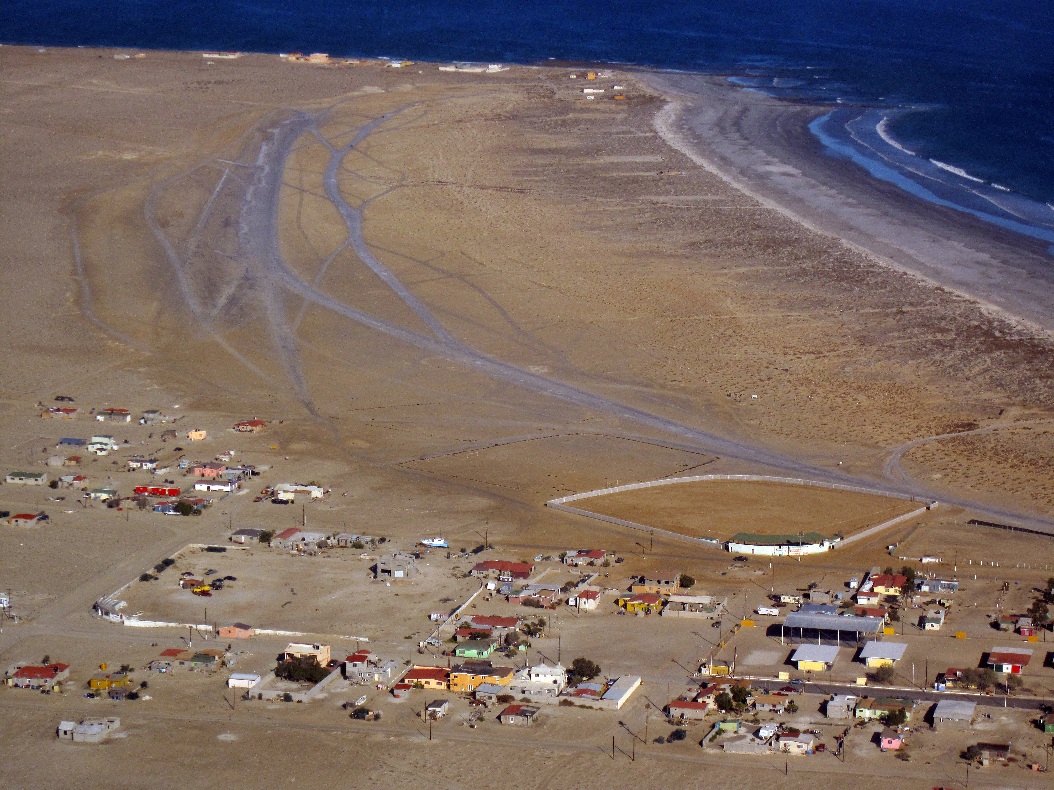
Elevation of Punta Abreojos, Baja California Sur, Mexico
Location: Mexico > Baja California Sur > Mulegé Municipality >
Longitude: -113.57433
Latitude: 26.7173026
Elevation: 8m / 26feet
Barometric Pressure: 101KPa
Elevation Map:
Satellite Map:
Related Photos:

0050837

IMG_0021.jpg
IMG_4060.JPG

IMG_0026.jpg

IMG_4061.JPG

IMG_4050.JPG

My Back Yard

IMG_4051.JPG

IMG_4045.JPG

IMG_4063.JPG
IMG_4052.JPG

IMG_0025.jpg

IMG_4049.JPG

IMG_4070.JPG

IMG_4047.JPG

IMG_4046.JPG
Topographic Map of Punta Abreojos, Baja California Sur, Mexico
Find elevation by address:

Places in Punta Abreojos, Baja California Sur, Mexico:
Places near Punta Abreojos, Baja California Sur, Mexico:
Recent Searches:
- Elevation of Congressional Dr, Stevensville, MD, USA
- Elevation of Bellview Rd, McLean, VA, USA
- Elevation of Stage Island Rd, Chatham, MA, USA
- Elevation of Shibuya Scramble Crossing, 21 Udagawacho, Shibuya City, Tokyo -, Japan
- Elevation of Jadagoniai, Kaunas District Municipality, Lithuania
- Elevation of Pagonija rock, Kranto 7-oji g. 8"N, Kaunas, Lithuania
- Elevation of Co Rd 87, Jamestown, CO, USA
- Elevation of Tenjo, Cundinamarca, Colombia
- Elevation of Côte-des-Neiges, Montreal, QC H4A 3J6, Canada
- Elevation of Bobcat Dr, Helena, MT, USA