Elevation of Pulanzhen, Burang, Ngari, Tibet, China
Location: China > Tibet > Ngari >
Longitude: 81.176973
Latitude: 30.286116
Elevation: 3865m / 12680feet
Barometric Pressure: 63KPa
Elevation Map:
Satellite Map:
Related Photos:
Entering Tibet
Approaching the Indo-Tibetan border
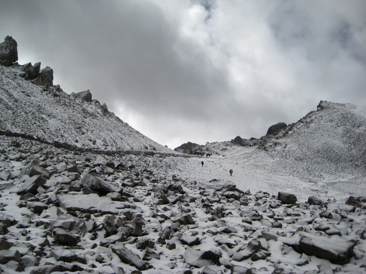
The road to Taklakot
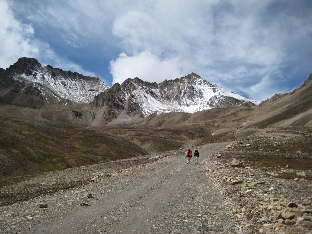
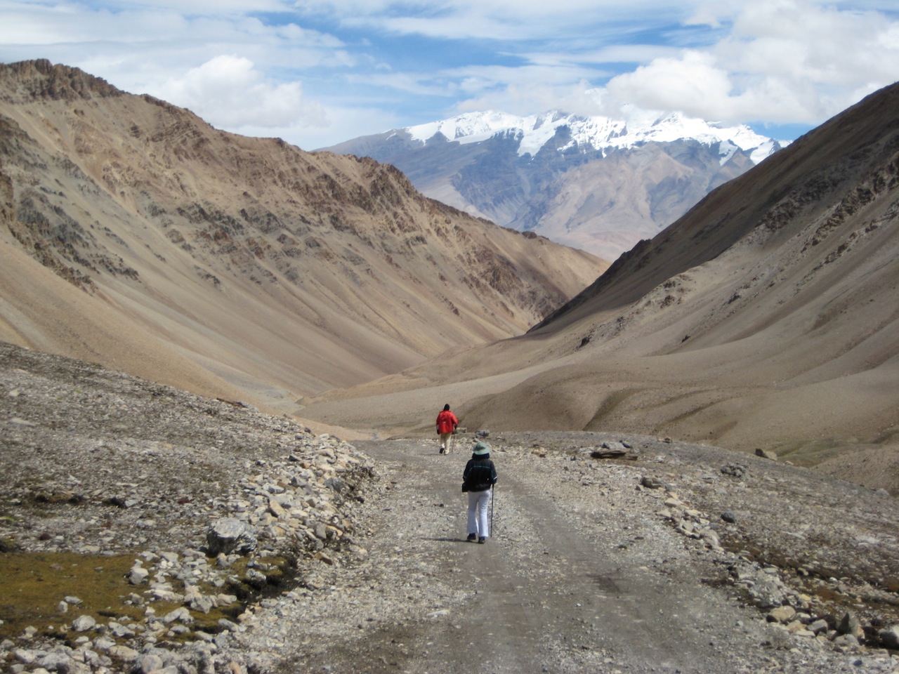
Our first steps in Tibet
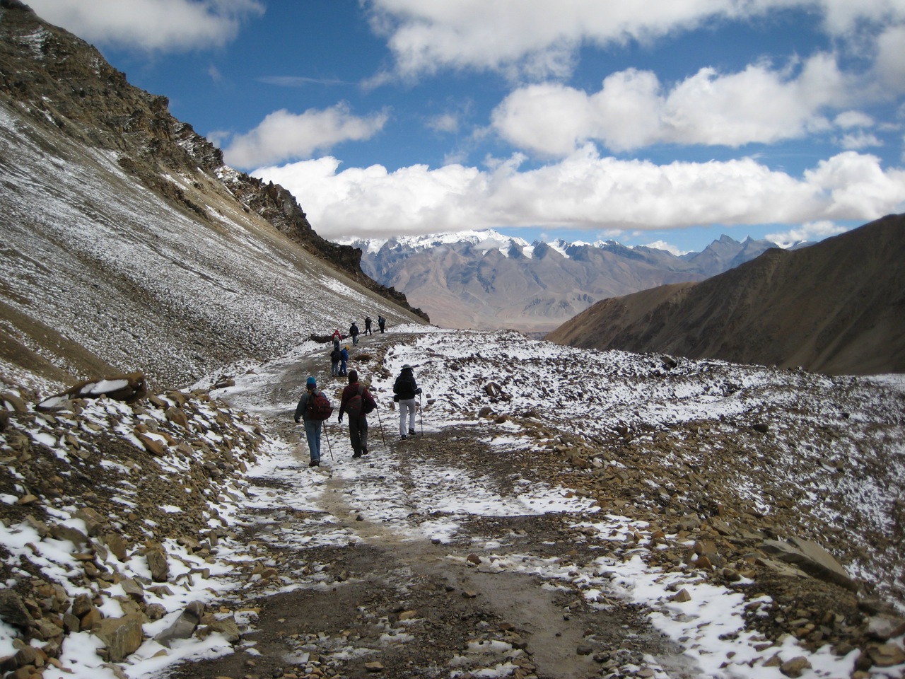
Our first steps in Tibet

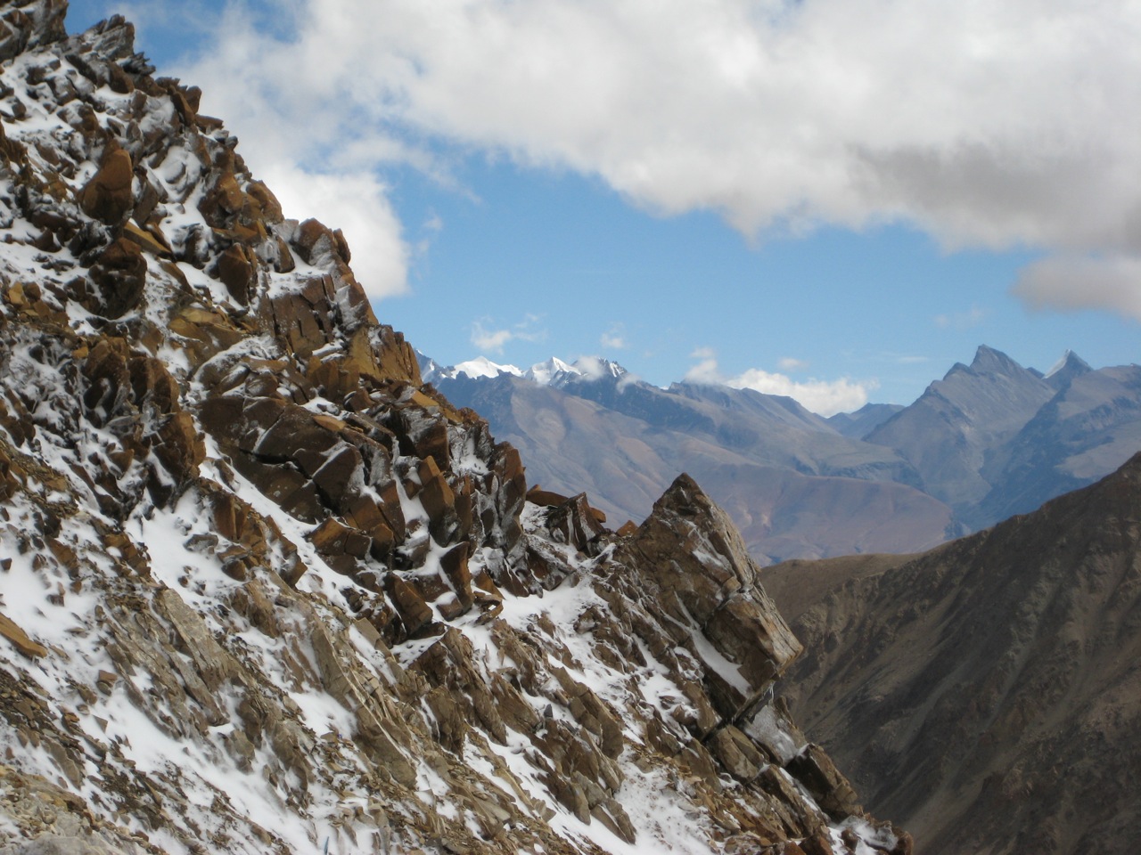
Peaks from Purang
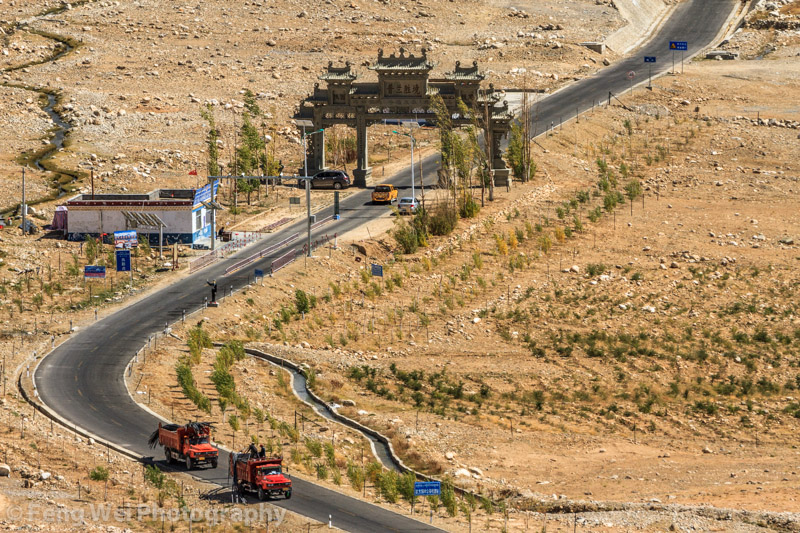
Gateway To Burang, Ngari, Tibet
Topographic Map of Pulanzhen, Burang, Ngari, Tibet, China
Find elevation by address:

Places near Pulanzhen, Burang, Ngari, Tibet, China:
Burang
Gurla Mandhata I
Byash
Api
Muchu
Mapam Yumco
Saipal
Manasarovar
Darchula
Seti
Khalanga
Api
Pithoragarh
Darma
Munsyari
Sarmoli
Askote
Government Primary School, Panagarh
Kanda Jhusiya
Gaina
Recent Searches:
- Elevation of 7 Waterfall Way, Tomball, TX, USA
- Elevation of SW 57th Ave, Portland, OR, USA
- Elevation of Crocker Dr, Vacaville, CA, USA
- Elevation of Pu Ngaol Community Meeting Hall, HWHM+3X7, Krong Saen Monourom, Cambodia
- Elevation of Royal Ontario Museum, Queens Park, Toronto, ON M5S 2C6, Canada
- Elevation of Groblershoop, South Africa
- Elevation of Power Generation Enterprises | Industrial Diesel Generators, Oak Ave, Canyon Country, CA, USA
- Elevation of Chesaw Rd, Oroville, WA, USA
- Elevation of N, Mt Pleasant, UT, USA
- Elevation of 6 Rue Jules Ferry, Beausoleil, France