Elevation of Pugong, Pasil, Kalinga, Philippines
Location: Philippines > Cordillera Administrative Region > Kalinga > Pasil >
Longitude: 121.156720
Latitude: 17.4057277
Elevation: 693m / 2274feet
Barometric Pressure: 93KPa
Elevation Map:
Satellite Map:
Related Photos:

Driving to Tinglayan

Driving to Tinglayan

Driving to Tinglayan

Philippines 2018

P1292005-06PA

A kubo along the clouds: built without using nails... Still standing amid the test of time. #tribalcommunion #kalingaphilippines #awichonculturalvillage
IMG-20170410-003

IMG-20170410-004

IMG-20170410-005
IMG-20170410-006

Tatay Alonso lead the boys in playing the gong and Nanay Rebecca on the dance step. #appreciatingculture #tribalcommunion #kalingatribaldance #kalingaphilippines

Life is not about waiting the storm to pass...it is about learning to dance in the rain.

Film 29 Bataad back to Baguio 15 - Version 2
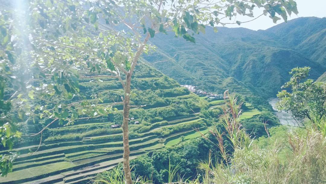
Treasures of the mountains,
Topographic Map of Pugong, Pasil, Kalinga, Philippines
Find elevation by address:

Places near Pugong, Pasil, Kalinga, Philippines:
Dangtalan
Guina-ang (pob.)
Bagtayan Elementary School
Cagaluan
Balantoy Elementary School
Pasil
Pasil
Cordillera Administrative Region
Lubuagan Municipal Hall
Mabilong Primary School
Agagama Elementary School
Mabongtot Primary School
Dupag
Mallango
Lower Mangali
Upper Taloctoc
Lower Taloctoc
Bagumbayan
Dao-angan
Talalang
Recent Searches:
- Elevation of Lampiasi St, Sarasota, FL, USA
- Elevation of Elwyn Dr, Roanoke Rapids, NC, USA
- Elevation of Congressional Dr, Stevensville, MD, USA
- Elevation of Bellview Rd, McLean, VA, USA
- Elevation of Stage Island Rd, Chatham, MA, USA
- Elevation of Shibuya Scramble Crossing, 21 Udagawacho, Shibuya City, Tokyo -, Japan
- Elevation of Jadagoniai, Kaunas District Municipality, Lithuania
- Elevation of Pagonija rock, Kranto 7-oji g. 8"N, Kaunas, Lithuania
- Elevation of Co Rd 87, Jamestown, CO, USA
- Elevation of Tenjo, Cundinamarca, Colombia