Elevation of Prospect Mountain, Colorado, USA
Location: United States > Colorado > Lake County >
Longitude: -106.23724
Latitude: 39.2788783
Elevation: 3845m / 12615feet
Barometric Pressure: 63KPa
Elevation Map:
Satellite Map:
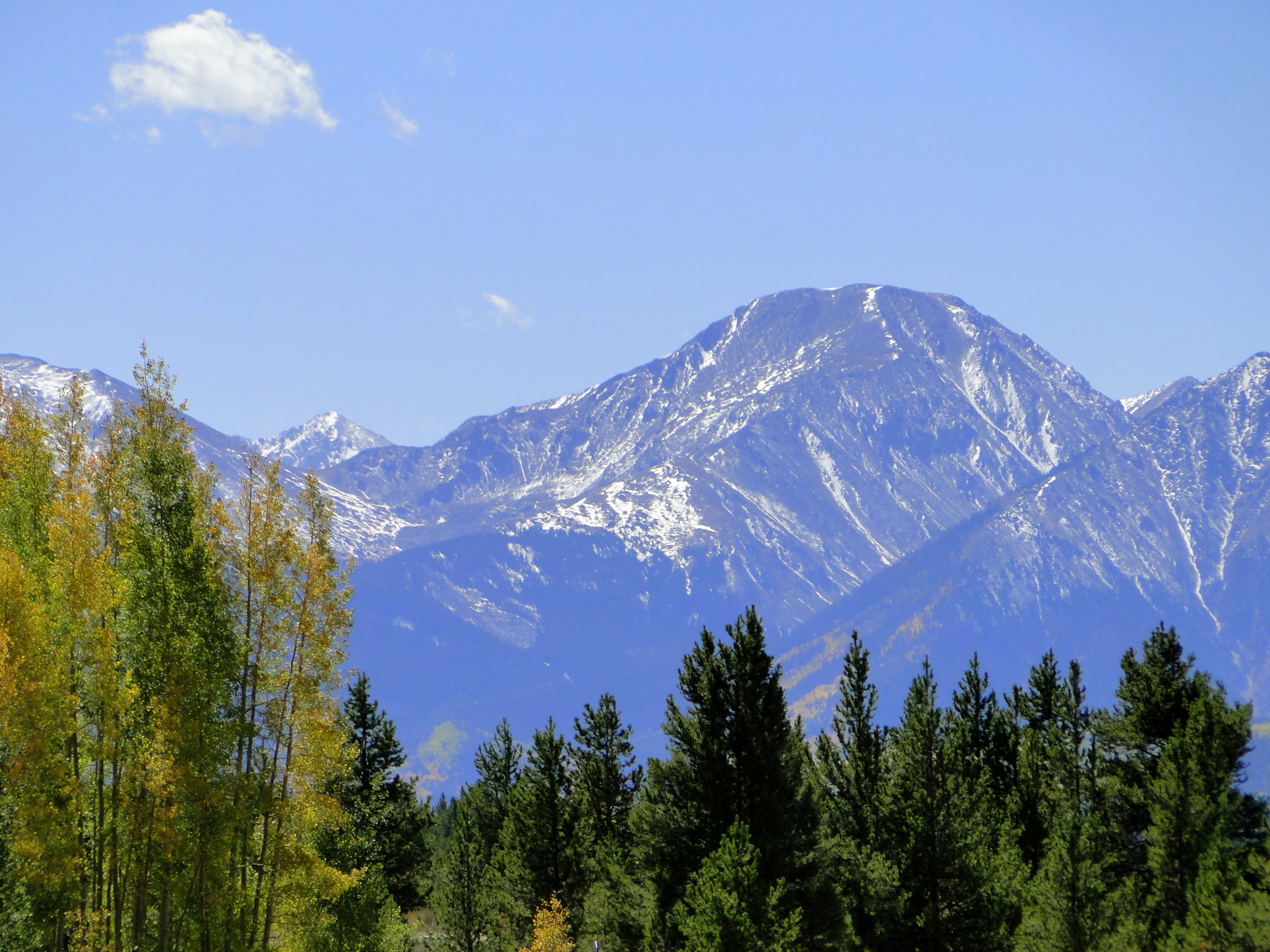
Related Photos:
Two manned helpers sets!
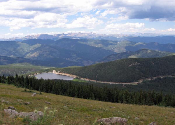
Mountain Reservoir Panorama
Mount Lincoln and Mount Bross

Hilltop Mine

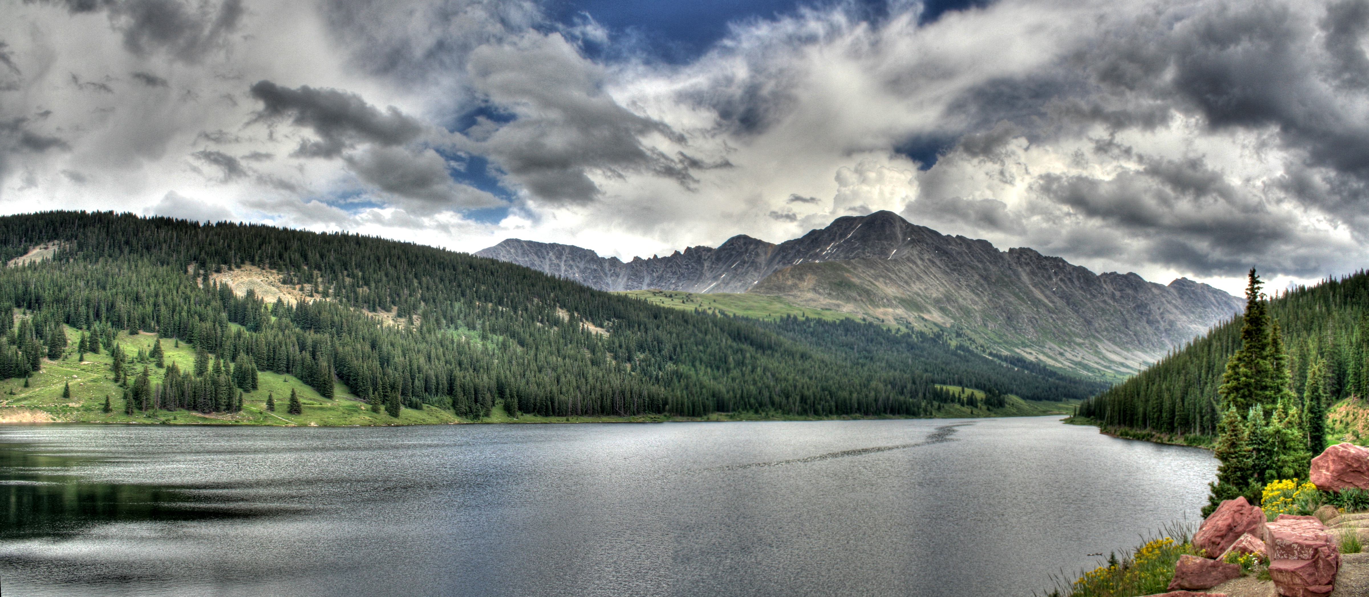
Clinton Reservoir panorama

Mount Evans

Sangree Sunset
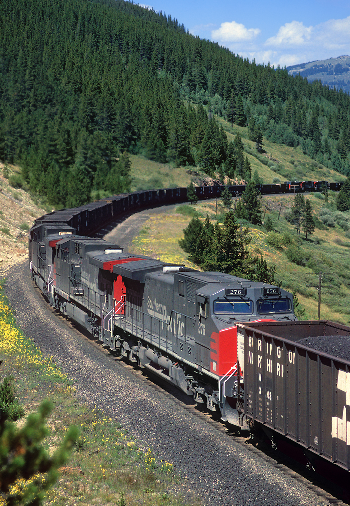
View from Leadville Train
View from Leadville Train

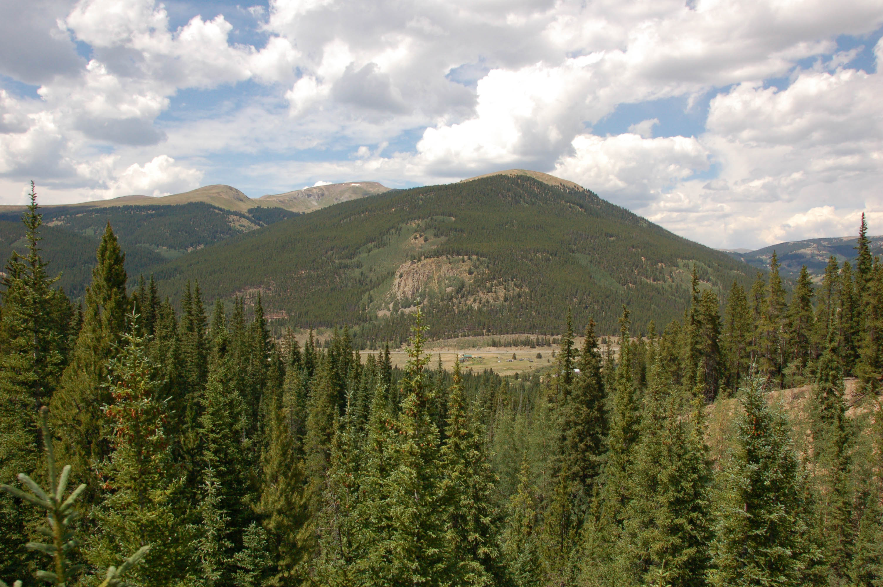
White Ridge

Pano: West from Sheridan Summit

Mt. Elbert

Mount Massive

Mount Massive

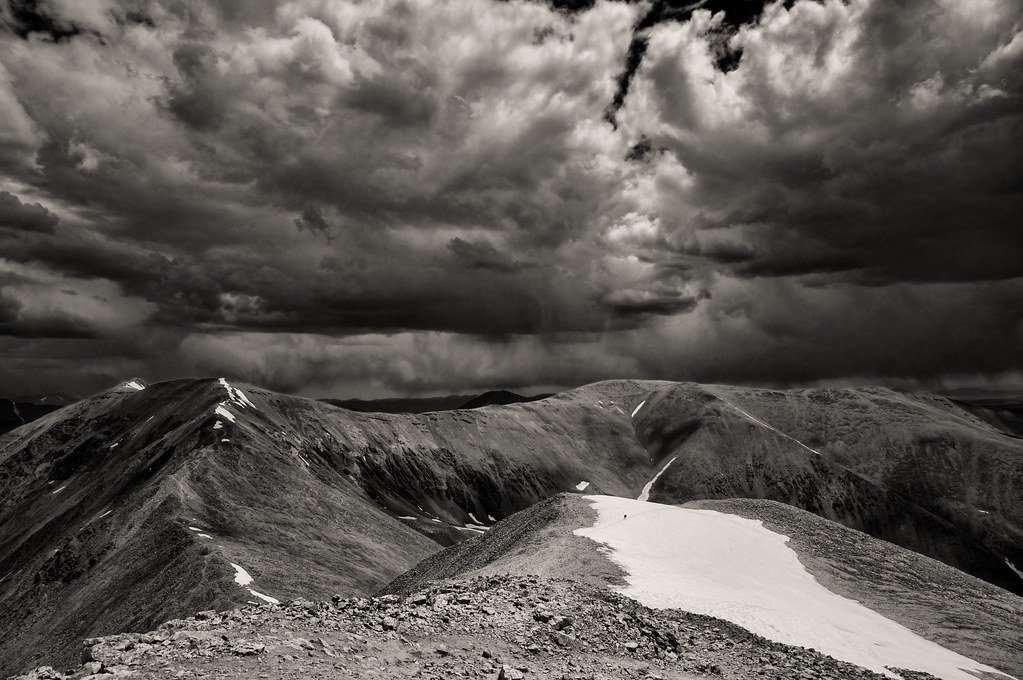
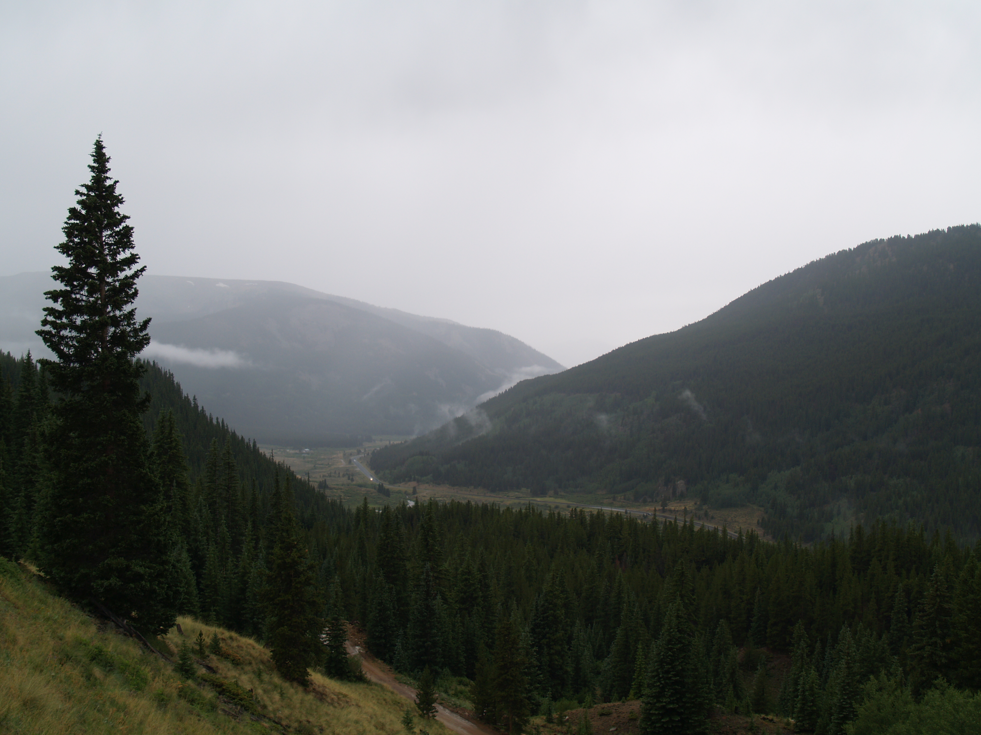
The view from Tennessee Pass.

Mount Bross
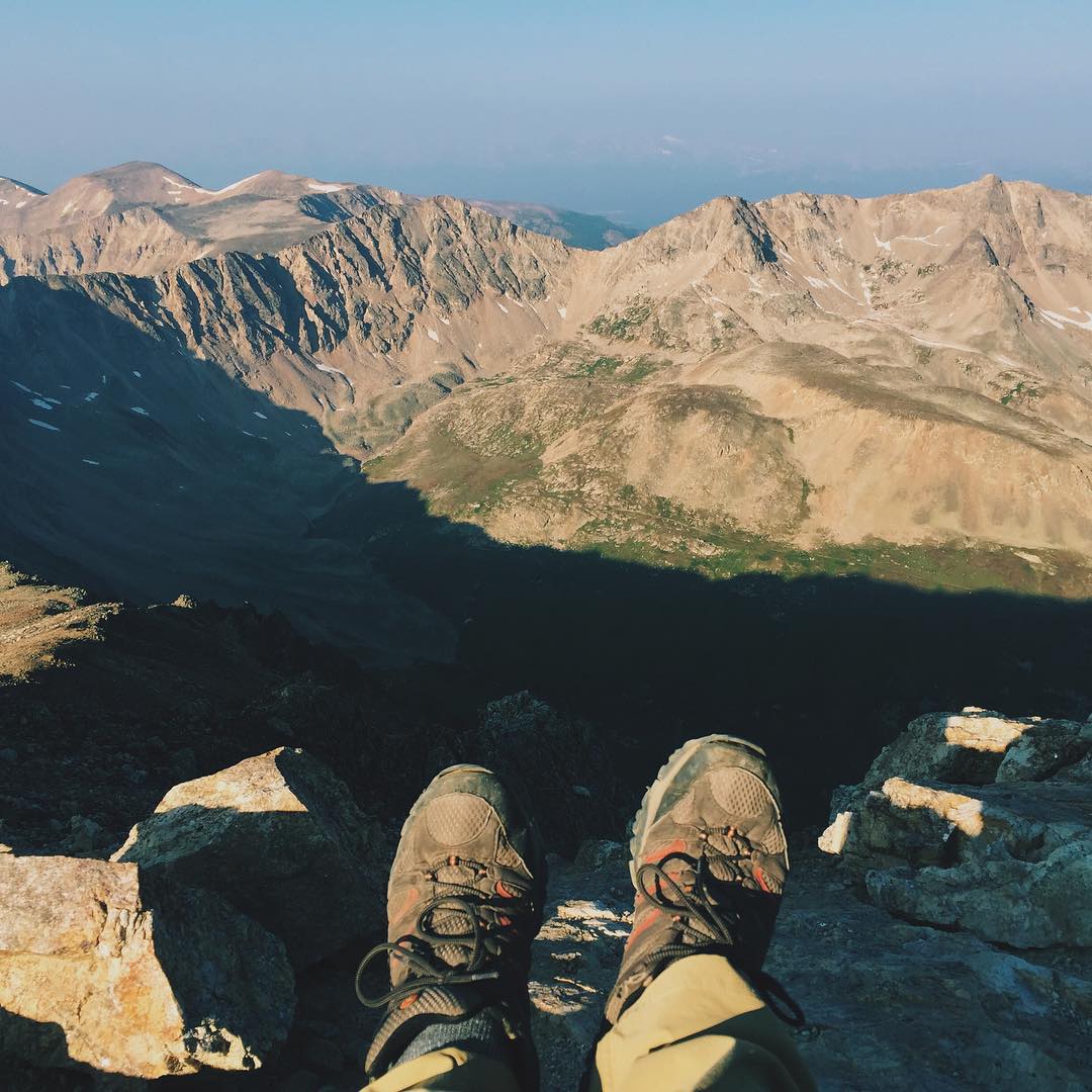
Atop Mount Democrat - 14,148 ft. The first of four 14ers that make up the Decalibron. What a beautiful view! #14er #colorado #peakbagging #VSCOcam

Mount Bross
What A View!
DSC_2721.jpg
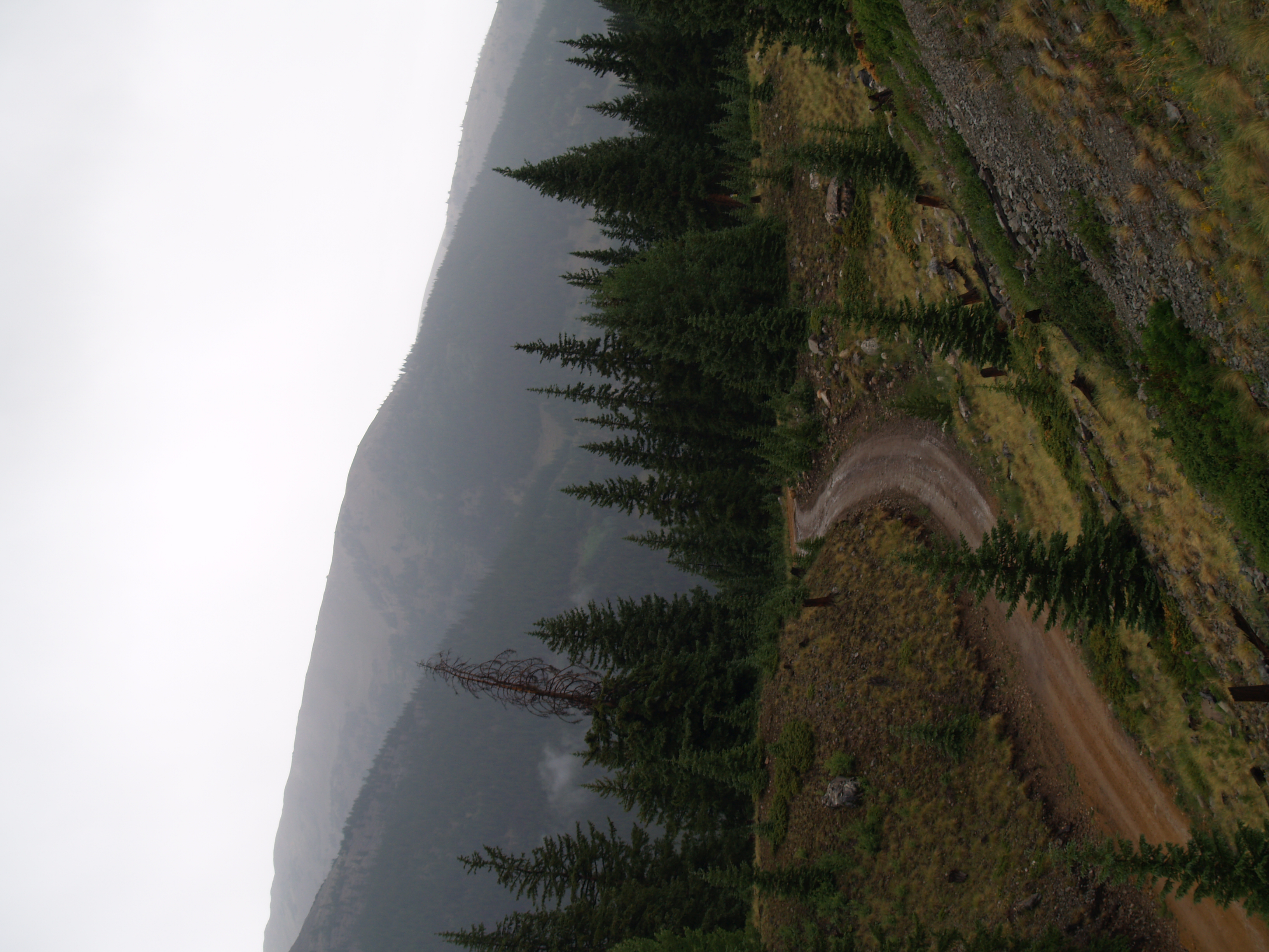
The View from the Leadville High Field
Topographic Map of Prospect Mountain, Colorado, USA
Find elevation by address:

Places near Prospect Mountain, Colorado, USA:
255 Buckeye Creek Rd
Mosquito Pass
Mosquito Peak
Leadville, Colorado
Leadville
105 Brooklyn Cir
320 Mt Oxford Dr
Buckeye Peak
Leadville North
822 W 4th St
Mount Arkansas
Cooper Hill
Tennessee Pass
735 Alpine Cirque
Leadville-lake County Airport
Chalk Mountain
Fremont Pass
Tennessee Pass Nordic Center & Sleep Yurts
Climax Mine And Mill
15 Elk Trail
Recent Searches:
- Elevation of Corso Fratelli Cairoli, 35, Macerata MC, Italy
- Elevation of Tallevast Rd, Sarasota, FL, USA
- Elevation of 4th St E, Sonoma, CA, USA
- Elevation of Black Hollow Rd, Pennsdale, PA, USA
- Elevation of Oakland Ave, Williamsport, PA, USA
- Elevation of Pedrógão Grande, Portugal
- Elevation of Klee Dr, Martinsburg, WV, USA
- Elevation of Via Roma, Pieranica CR, Italy
- Elevation of Tavkvetili Mountain, Georgia
- Elevation of Hartfords Bluff Cir, Mt Pleasant, SC, USA