Elevation of Priest Mountain, Colorado, USA
Location: United States > Colorado > Hotchkiss >
Longitude: -107.73394
Latitude: 39.0427593
Elevation: 3326m / 10912feet
Barometric Pressure: 67KPa
Elevation Map:
Satellite Map:
Related Photos:

On Top of Crag's Crest

Another View From the Top
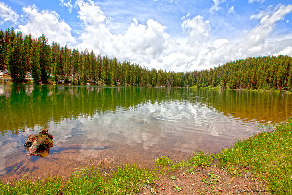
Lake with a View
Topographic Map of Priest Mountain, Colorado, USA
Find elevation by address:

Places near Priest Mountain, Colorado, USA:
Doughty Mountain
Mount Hatten
Crater Peak
Grand Mesa National Forest
Willow Ridge
Oak Mesa
18880 3100 Rd
Plateau Ridge
38681 Stucker Mesa Rd
Elk Lake
Porter Mountain
Baldridge Point
Electric Mountain
21021 Surface Creek Rd
P 50 Road
P 50 Road
17554 Current Creek Rd
20751 Surface Creek Rd
30476 Redlands Mesa Rd
28511 P25
Recent Searches:
- Elevation of Corso Fratelli Cairoli, 35, Macerata MC, Italy
- Elevation of Tallevast Rd, Sarasota, FL, USA
- Elevation of 4th St E, Sonoma, CA, USA
- Elevation of Black Hollow Rd, Pennsdale, PA, USA
- Elevation of Oakland Ave, Williamsport, PA, USA
- Elevation of Pedrógão Grande, Portugal
- Elevation of Klee Dr, Martinsburg, WV, USA
- Elevation of Via Roma, Pieranica CR, Italy
- Elevation of Tavkvetili Mountain, Georgia
- Elevation of Hartfords Bluff Cir, Mt Pleasant, SC, USA