Elevation of Presidio, Livingston, TX, USA
Location: United States > Texas > Polk County > Livingston >
Longitude: -94.841835
Latitude: 30.6927593
Elevation: 77m / 253feet
Barometric Pressure: 100KPa
Elevation Map:
Satellite Map:
Related Photos:
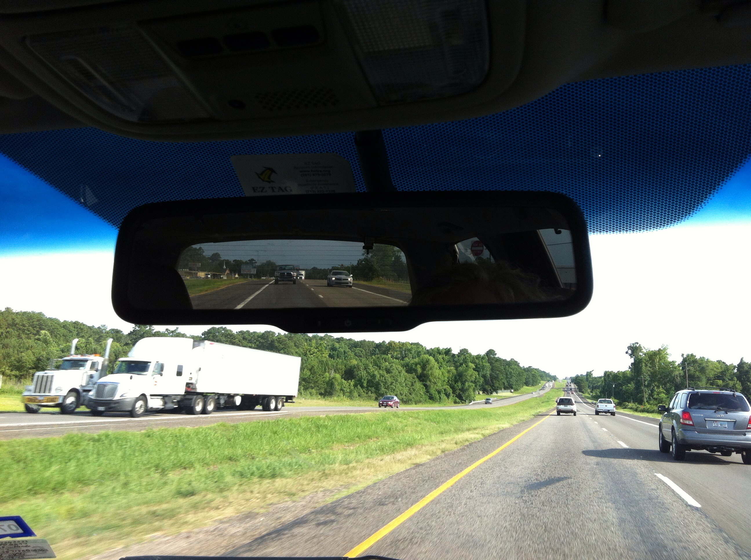
Rear view mirror

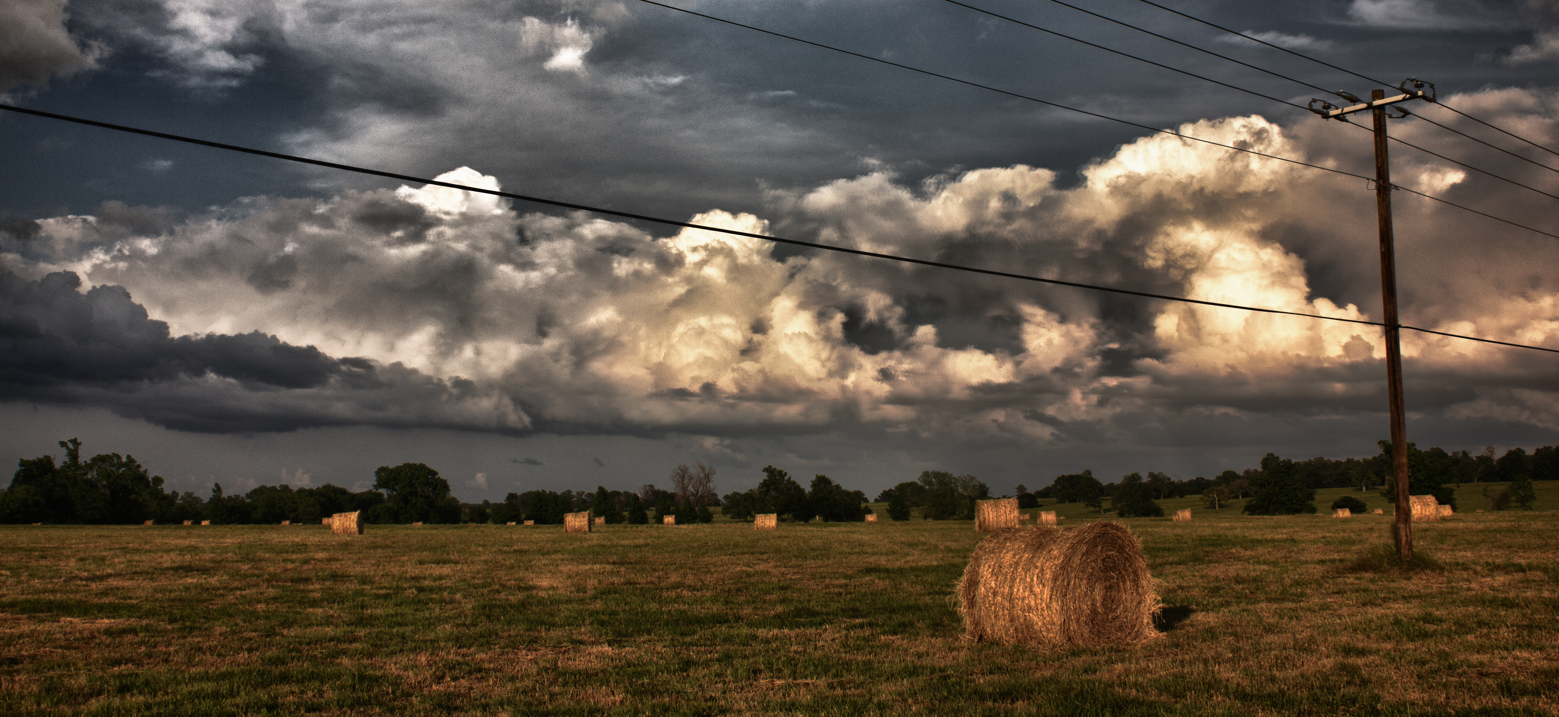
Rear view mirror

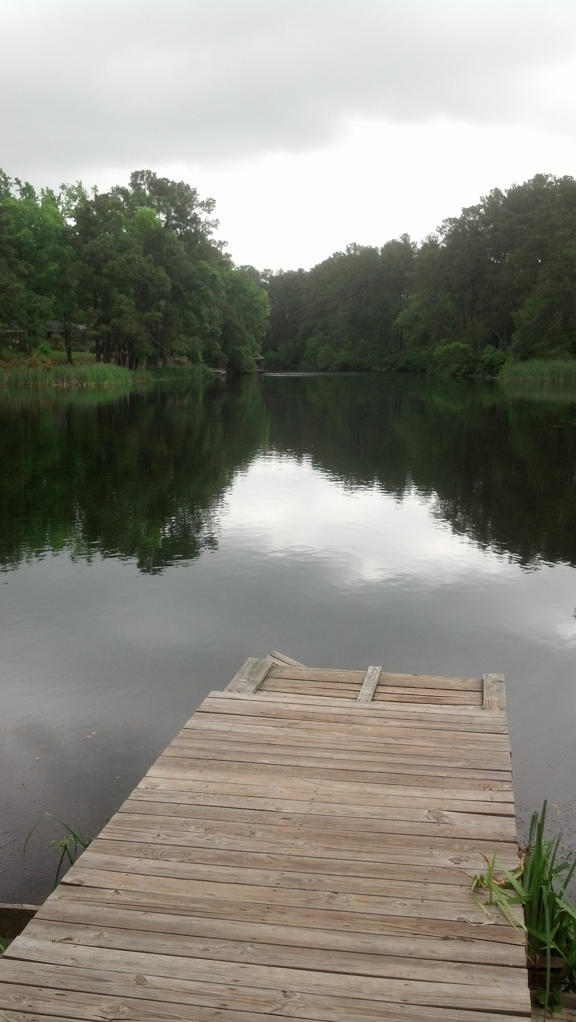
Rear view mirror

Old Post Office 77351 (Livingston, Texas)

Old Highway 35 S Bridge over Tributary of Long King Creek, Polk County, Texas 1205271604BW

Livingston, TX
Out to Pasture

Beaked Cornsalad
2013-05-20 11.00.42

Old Post Office 77351 (Livingston, Texas)
Topographic Map of Presidio, Livingston, TX, USA
Find elevation by address:

Places near Presidio, Livingston, TX, USA:
844 Presidio
575 Encino
1381 Soda Loop W
426 Tom Cummings Rd
739 Soda Loop E
U.s. 190
268 Boone Rd
Polk County
162 Long Moss
162 Long Moss
140 Escapees Dr
3020 Providence Rd
162 Hawk
2147 Old Woodville Rd
Old Israel Rd, Livingston, TX, USA
117 Wildwood Dr
117 Wildwood Dr
605 Easy St
101 Lee St
Livingston
Recent Searches:
- Elevation of Pykes Down, Ivybridge PL21 0BY, UK
- Elevation of Jalan Senandin, Lutong, Miri, Sarawak, Malaysia
- Elevation of Bilohirs'k
- Elevation of 30 Oak Lawn Dr, Barkhamsted, CT, USA
- Elevation of Luther Road, Luther Rd, Auburn, CA, USA
- Elevation of Unnamed Road, Respublika Severnaya Osetiya — Alaniya, Russia
- Elevation of Verkhny Fiagdon, North Ossetia–Alania Republic, Russia
- Elevation of F. Viola Hiway, San Rafael, Bulacan, Philippines
- Elevation of Herbage Dr, Gulfport, MS, USA
- Elevation of Lilac Cir, Haldimand, ON N3W 2G9, Canada