Elevation of Prairie Shores, Chicago, IL, USA
Location: United States > Illinois > Cook County > Chicago >
Longitude: -87.614910
Latitude: 41.8423119
Elevation: 183m / 600feet
Barometric Pressure: 99KPa
Elevation Map:
Satellite Map:
Related Photos:

Starry Walk

Waiting for the Bus

Bridge Crossing

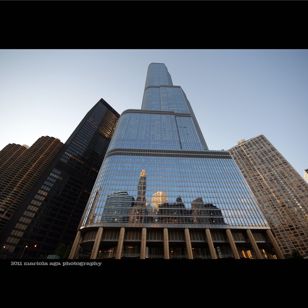
Kinzie's View...
IMG_2083.JPG

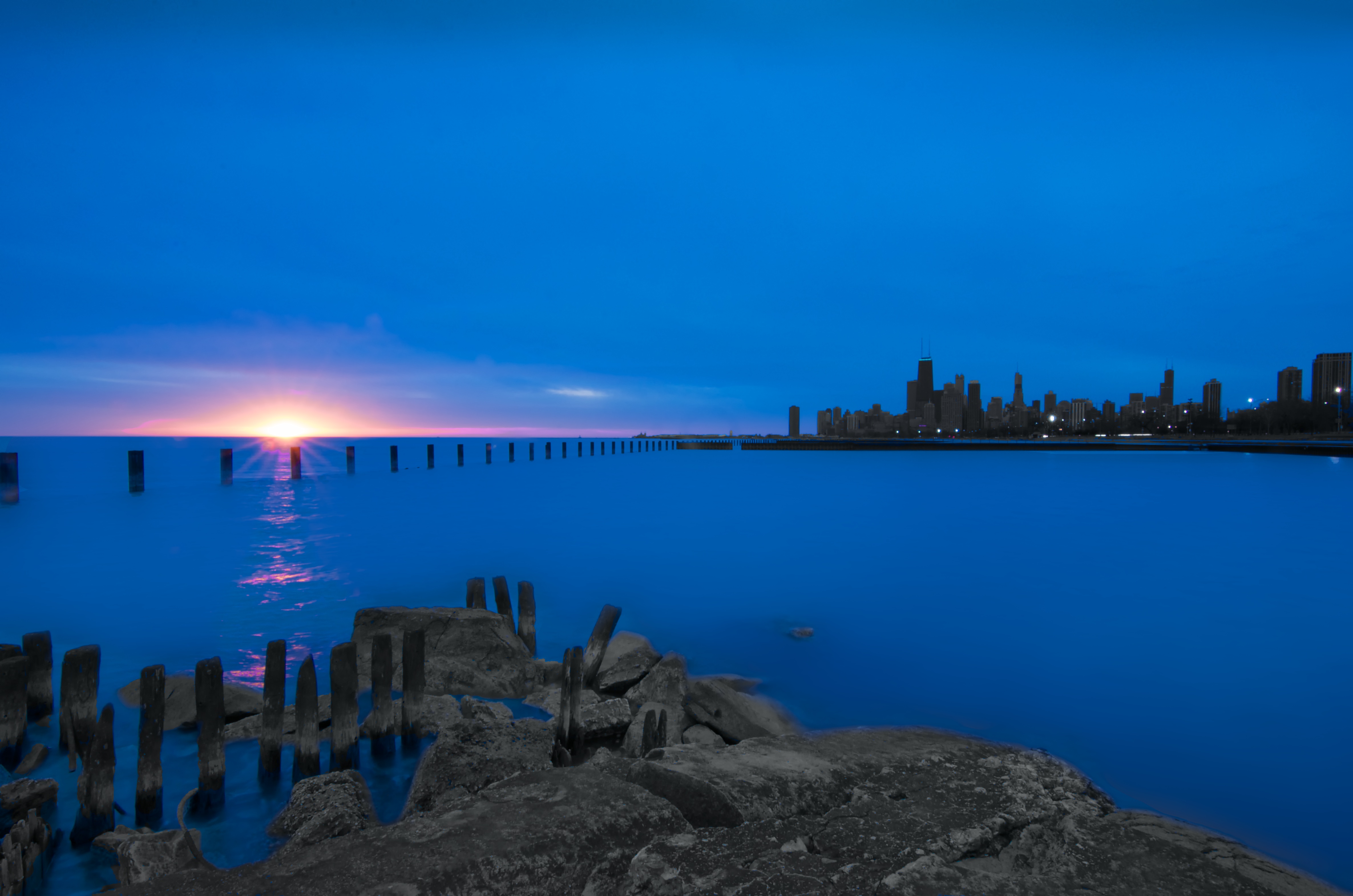
Pier With A View...

Twilight in the Spring

Bridge Over A River Of Trails (Explored 4/20/11)

In the Twilight Hour

The Agora
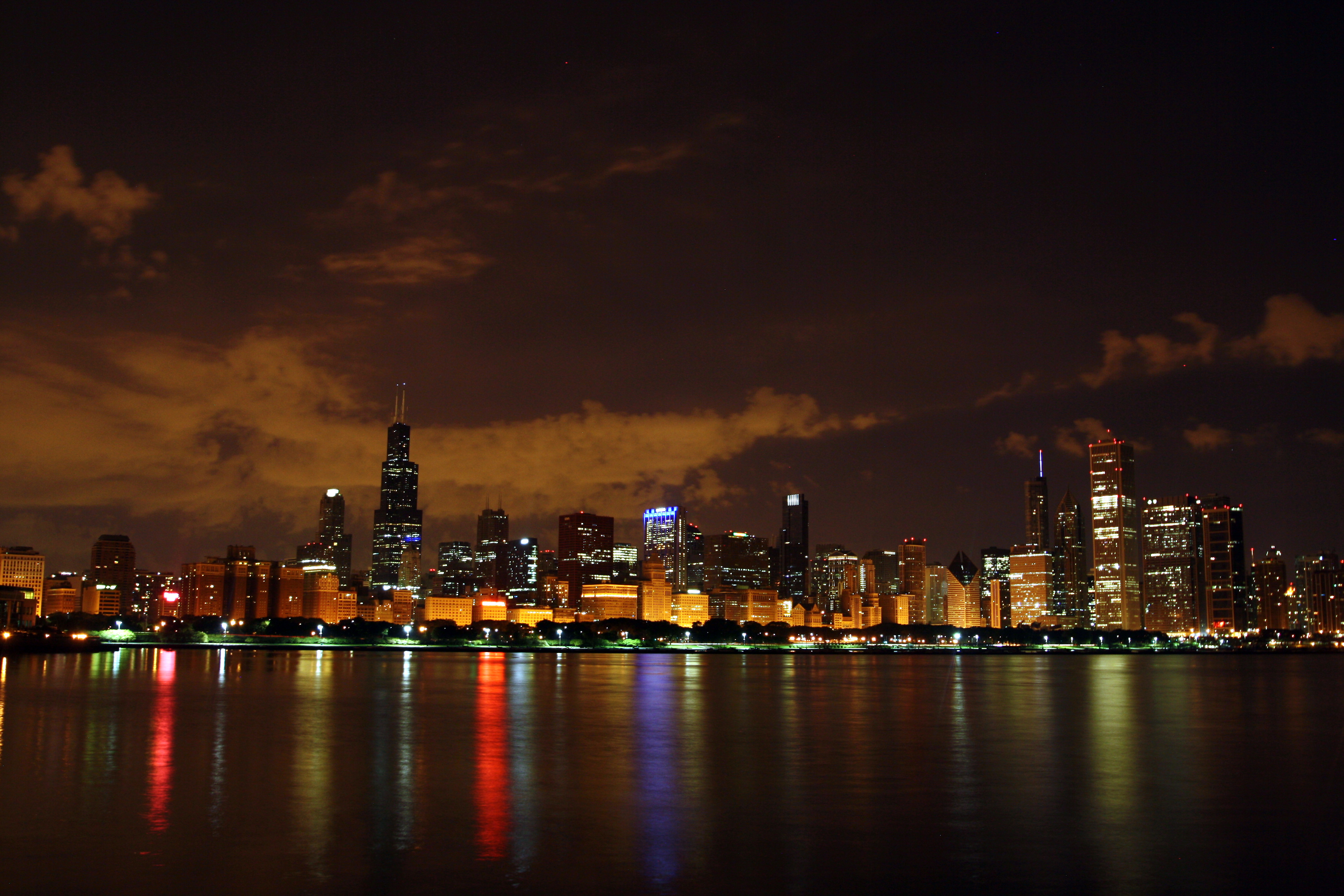
Chicago by night
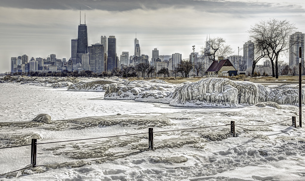
Winter Chill

Skyline At Night

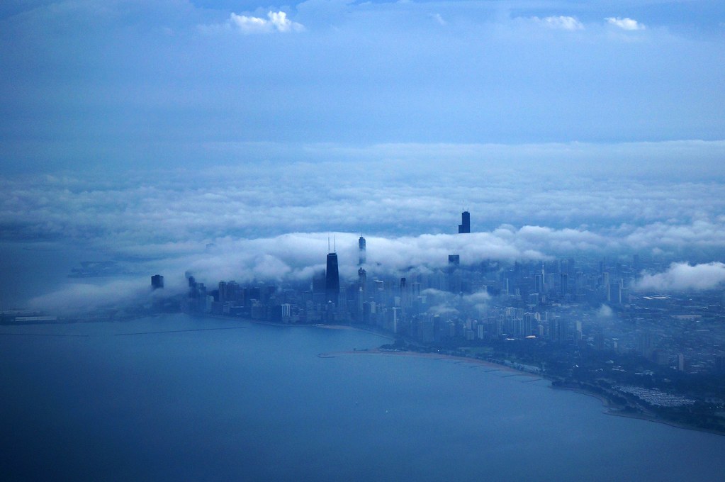
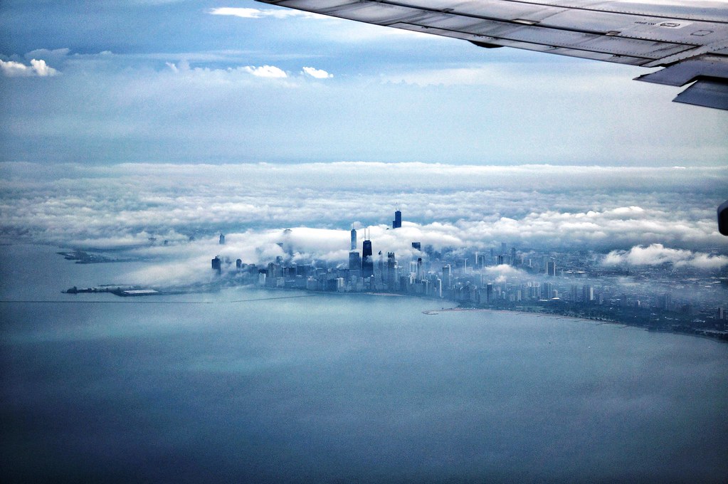
Trying to Find a View

Skydecked!

Wakey Wakey Chicago!!!!!

Gold Coast

IMG_3221.JPG
IMG_3232.JPG
From top to bottom ...

Making a splash

IMG_2264.JPG

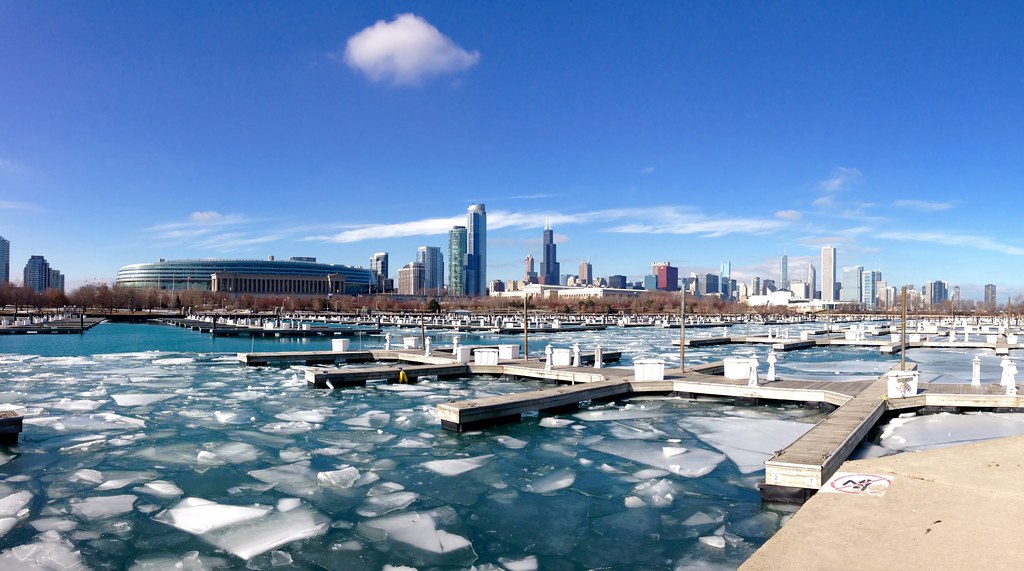
Lakefront trail

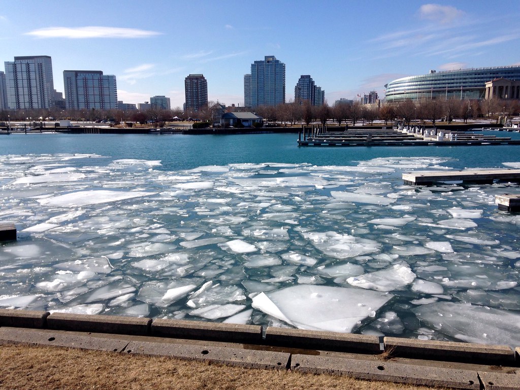
Fullerton thaw

Pink hour

Blue Burnham

Windy city

On the rocks

IMG_1126.JPG

Light show (Explore)
IMG_1272.JPG

IMG_3971.JPG

IMG_6041.JPG

Under The Tracks...
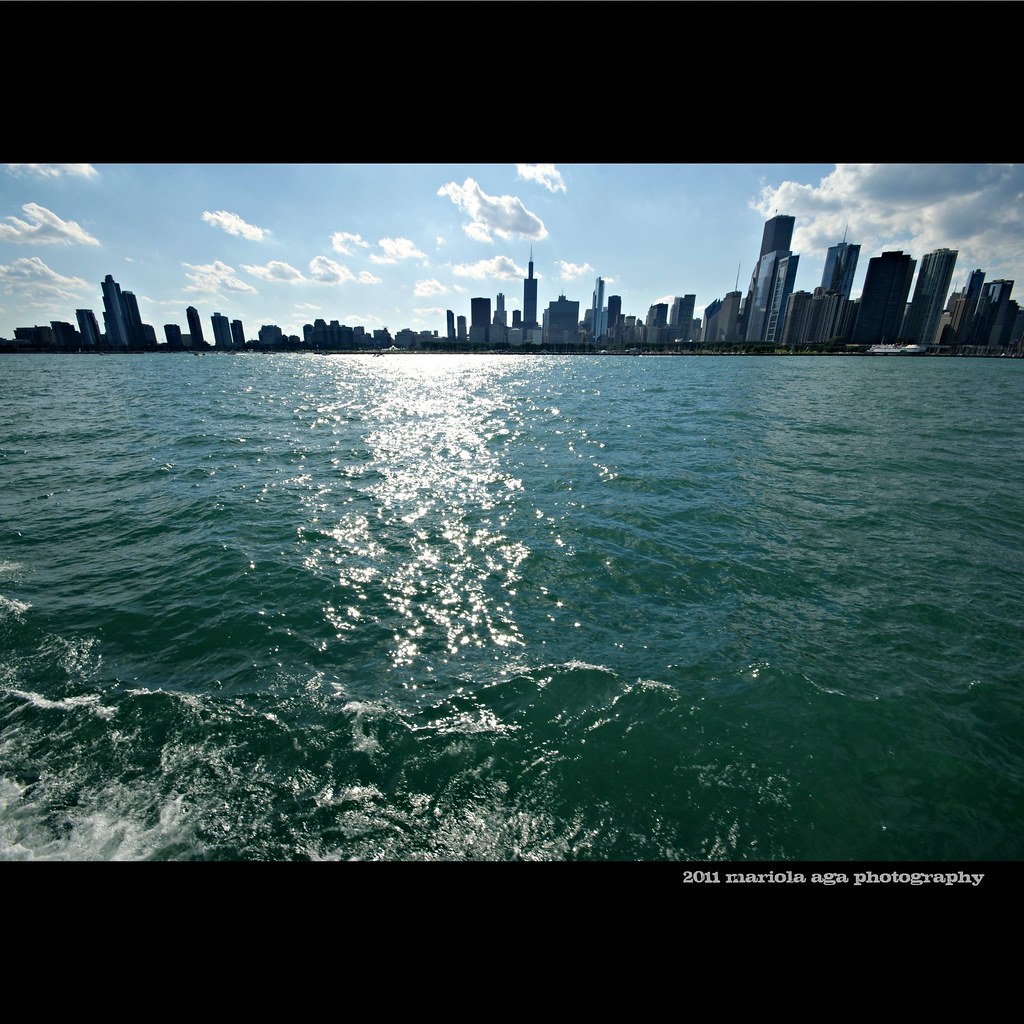
Chicago's Skyline
IMG_1270.JPG

seasons change

IMG_1215.JPG
7:23 a.m.
Topographic Map of Prairie Shores, Chicago, IL, USA
Find elevation by address:

Places in Prairie Shores, Chicago, IL, USA:
Places near Prairie Shores, Chicago, IL, USA:
S King Dr, Chicago, IL, USA
351 E 21st St
Prairie District
1600 S Lake Shore Dr
1410 Museum Campus Dr
Soldier Field
1550 S Lake Shore Dr
Museum Campus
1500 S Lake Shore Dr
475 E Mcfetridge Dr
Central Station
1400 S Lake Shore Dr
203 E 13th St
1000m Sales Gallery
Grant Park
Hilton Chicago
Grant Park
301 S Columbus Dr
425 S Wabash Ave
340 S Michigan Ave
Recent Searches:
- Elevation of Tenjo, Cundinamarca, Colombia
- Elevation of Côte-des-Neiges, Montreal, QC H4A 3J6, Canada
- Elevation of Bobcat Dr, Helena, MT, USA
- Elevation of Zu den Ihlowbergen, Althüttendorf, Germany
- Elevation of Badaber, Peshawar, Khyber Pakhtunkhwa, Pakistan
- Elevation of SE Heron Loop, Lincoln City, OR, USA
- Elevation of Slanický ostrov, 01 Námestovo, Slovakia
- Elevation of Spaceport America, Co Rd A, Truth or Consequences, NM, USA
- Elevation of Warwick, RI, USA
- Elevation of Fern Rd, Whitmore, CA, USA