Elevation of Poynor, TX, USA
Location: United States > Texas > Henderson County > Larue >
Longitude: -95.598292
Latitude: 32.0743261
Elevation: 136m / 446feet
Barometric Pressure: 100KPa
Elevation Map:
Satellite Map:
Related Photos:
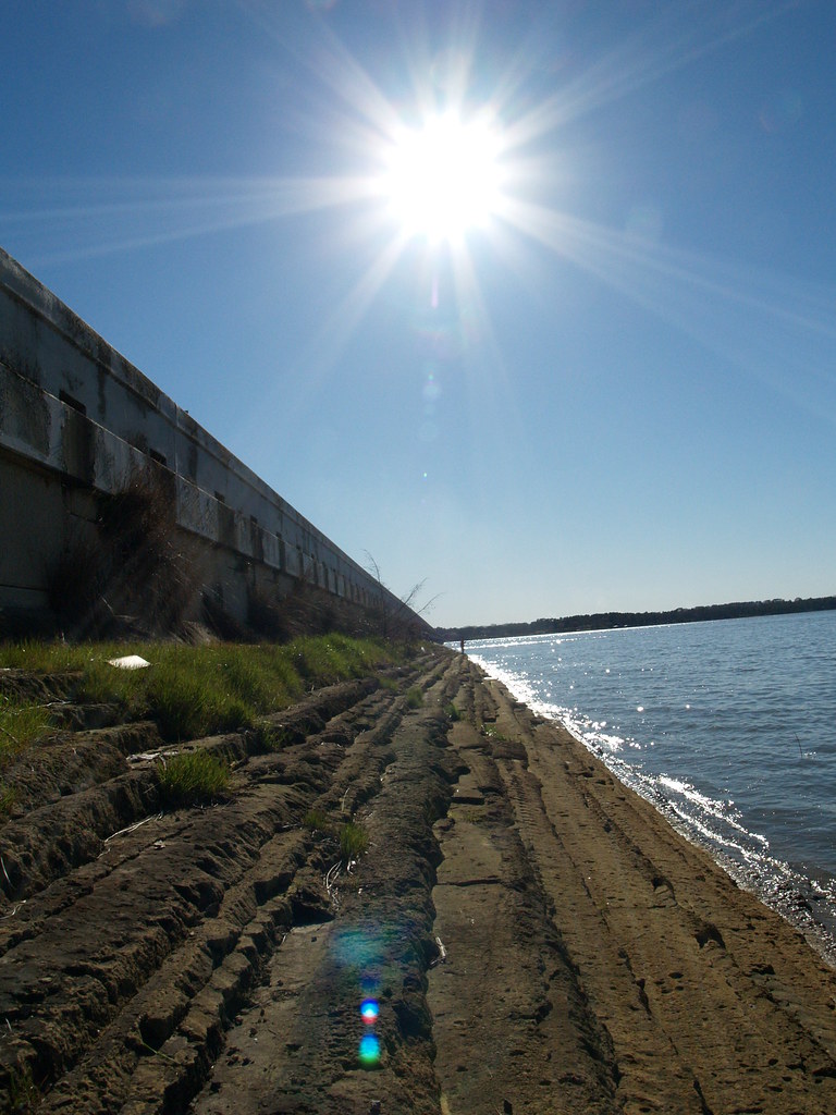
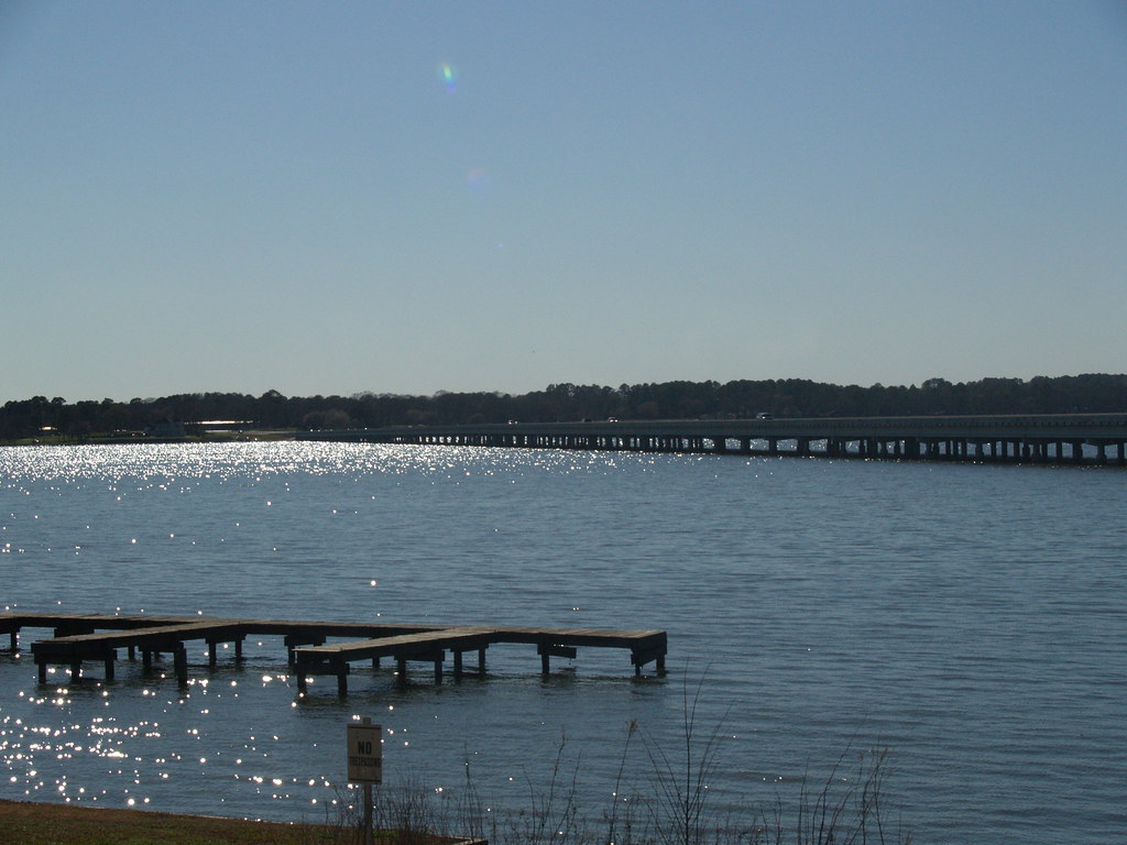
Side of the Bridge @ Lake Palestine
View from the side of the bridge

view down the bridge
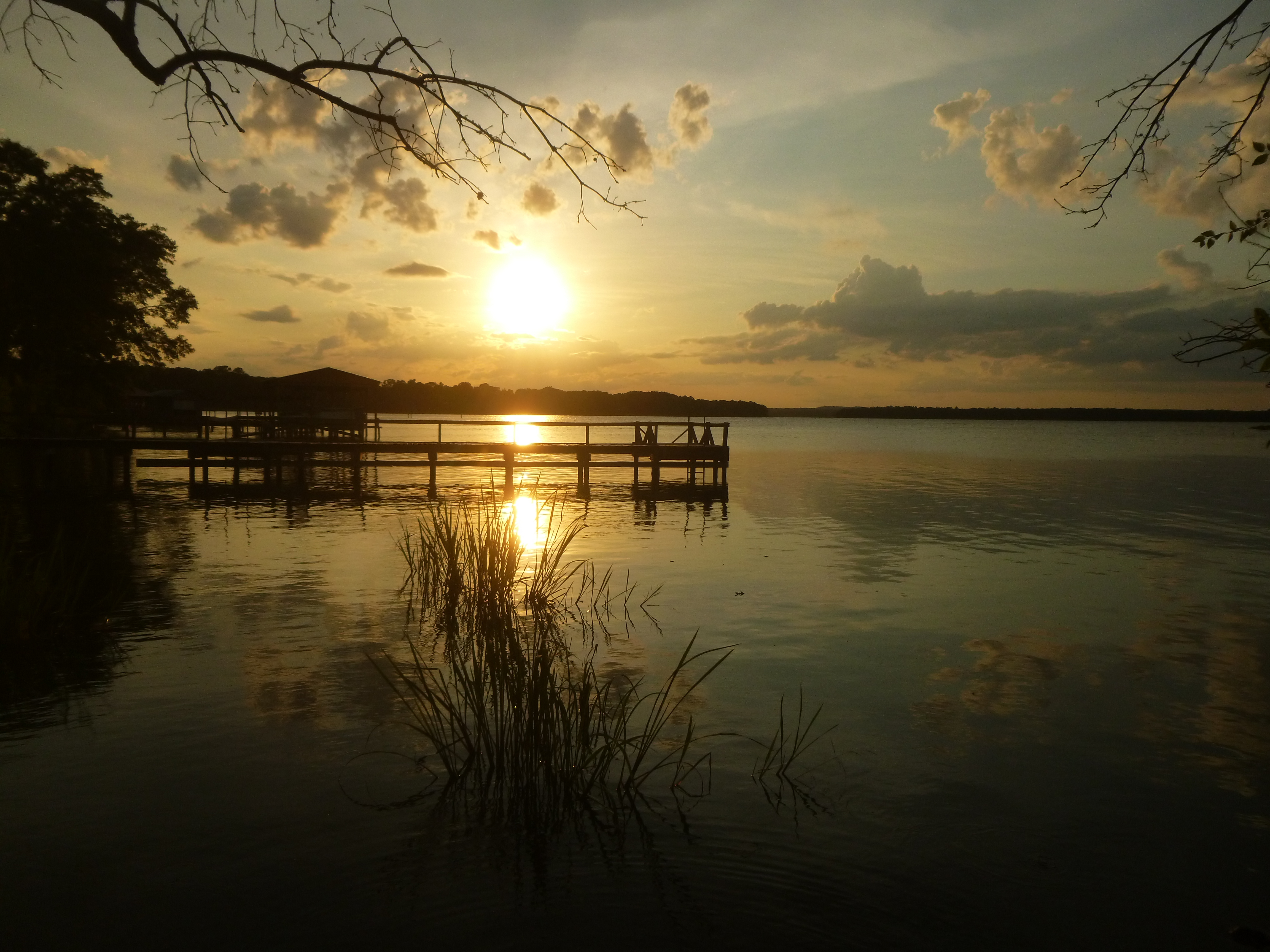
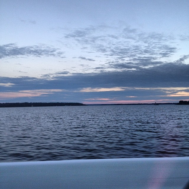
Cotton Sunset
Calm water

Paisley Skies
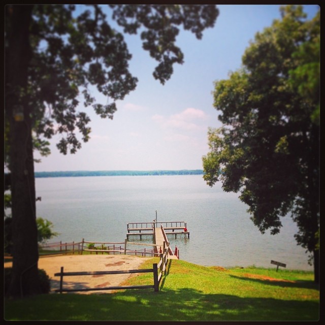
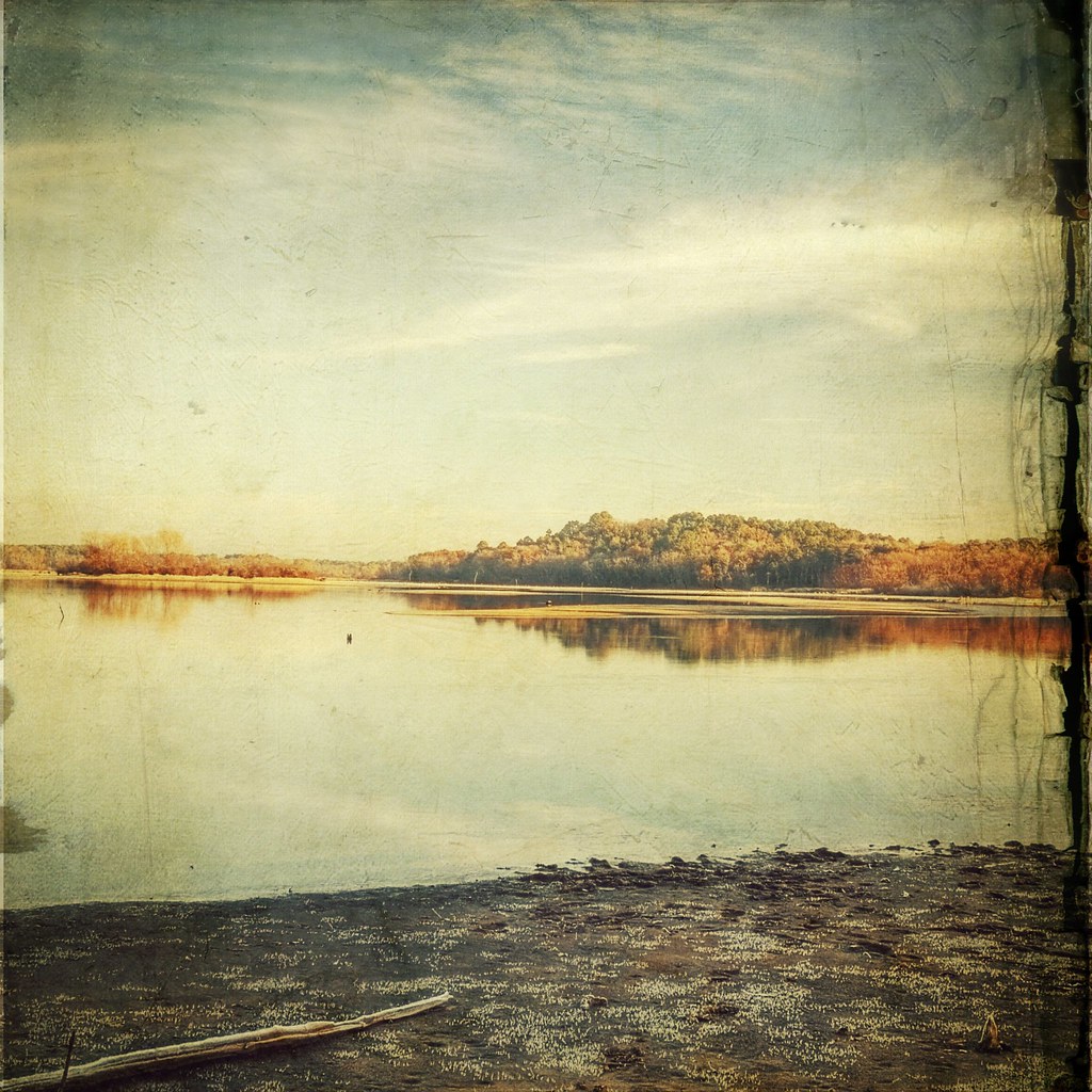
Lake Palestine Texas
DSCN2439.JPG

Miss Maggie
This is Lake Palestine. I'm not kidding.
DSCN2441.JPG
Lake Palestine Overlook

Spring!
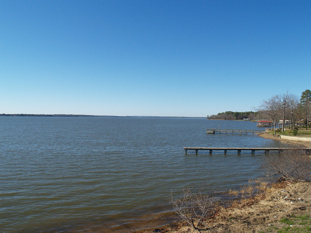
Lake Overview
DSCN2452.JPG
Topographic Map of Poynor, TX, USA
Find elevation by address:

Places near Poynor, TX, USA:
FM, Frankston, TX, USA
County Road 4325
Frankston
12851 Fm 315
Berryville
3 Points Drive
10678 Circle Point
4722 Sunbird Dr
11575 Snap Roll Dr
An County Rd, Palestine, TX, USA
20027 Pinewilde Rd
102 Dogwood Lakes Cir
Pert
Ravenwood Dr, Flint, TX, USA
Christopher Drive
Creek, Jacksonville, TX, USA
9354 County Rd 3426
333 Crockett
9355 County Rd 3426
Brownsboro
Recent Searches:
- Elevation of Lampiasi St, Sarasota, FL, USA
- Elevation of Elwyn Dr, Roanoke Rapids, NC, USA
- Elevation of Congressional Dr, Stevensville, MD, USA
- Elevation of Bellview Rd, McLean, VA, USA
- Elevation of Stage Island Rd, Chatham, MA, USA
- Elevation of Shibuya Scramble Crossing, 21 Udagawacho, Shibuya City, Tokyo -, Japan
- Elevation of Jadagoniai, Kaunas District Municipality, Lithuania
- Elevation of Pagonija rock, Kranto 7-oji g. 8"N, Kaunas, Lithuania
- Elevation of Co Rd 87, Jamestown, CO, USA
- Elevation of Tenjo, Cundinamarca, Colombia