Elevation of Powhatan, AR, USA
Location: United States > Arkansas > Lawrence County > Black River Township >
Longitude: -91.118458
Latitude: 36.0822925
Elevation: 85m / 279feet
Barometric Pressure: 100KPa
Elevation Map:
Satellite Map:
Related Photos:

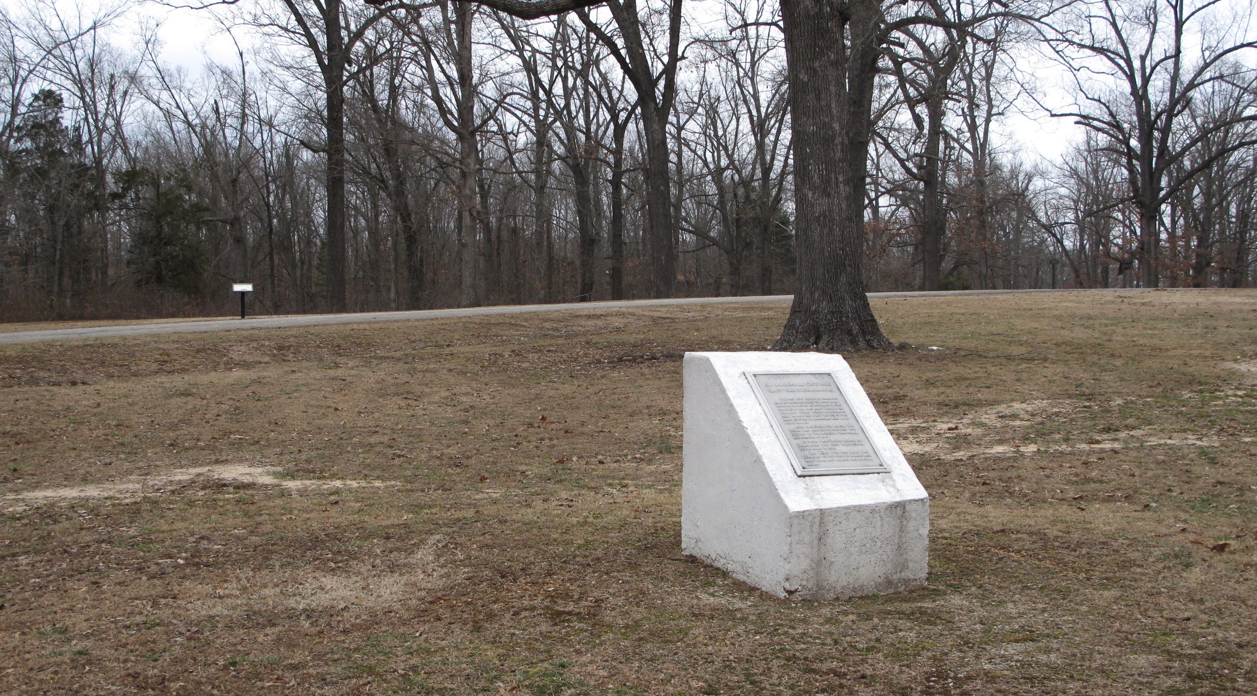
Davidsonville Historic State Park (Ark.), 16 February 2010
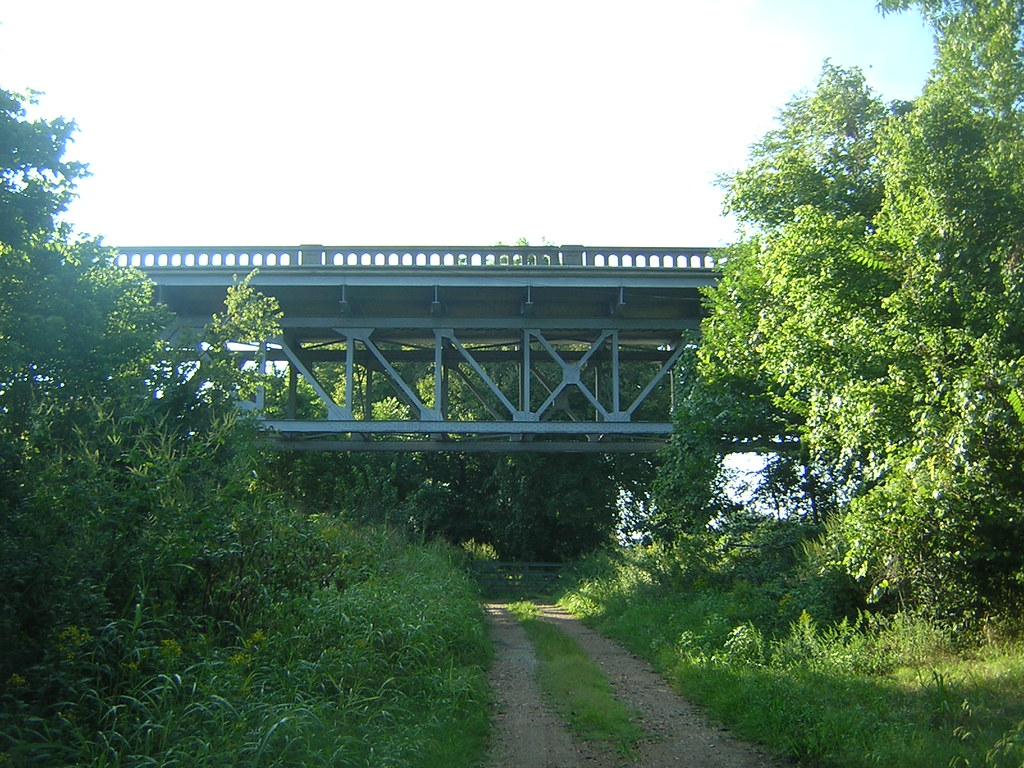
Imboden Bridge-Side View
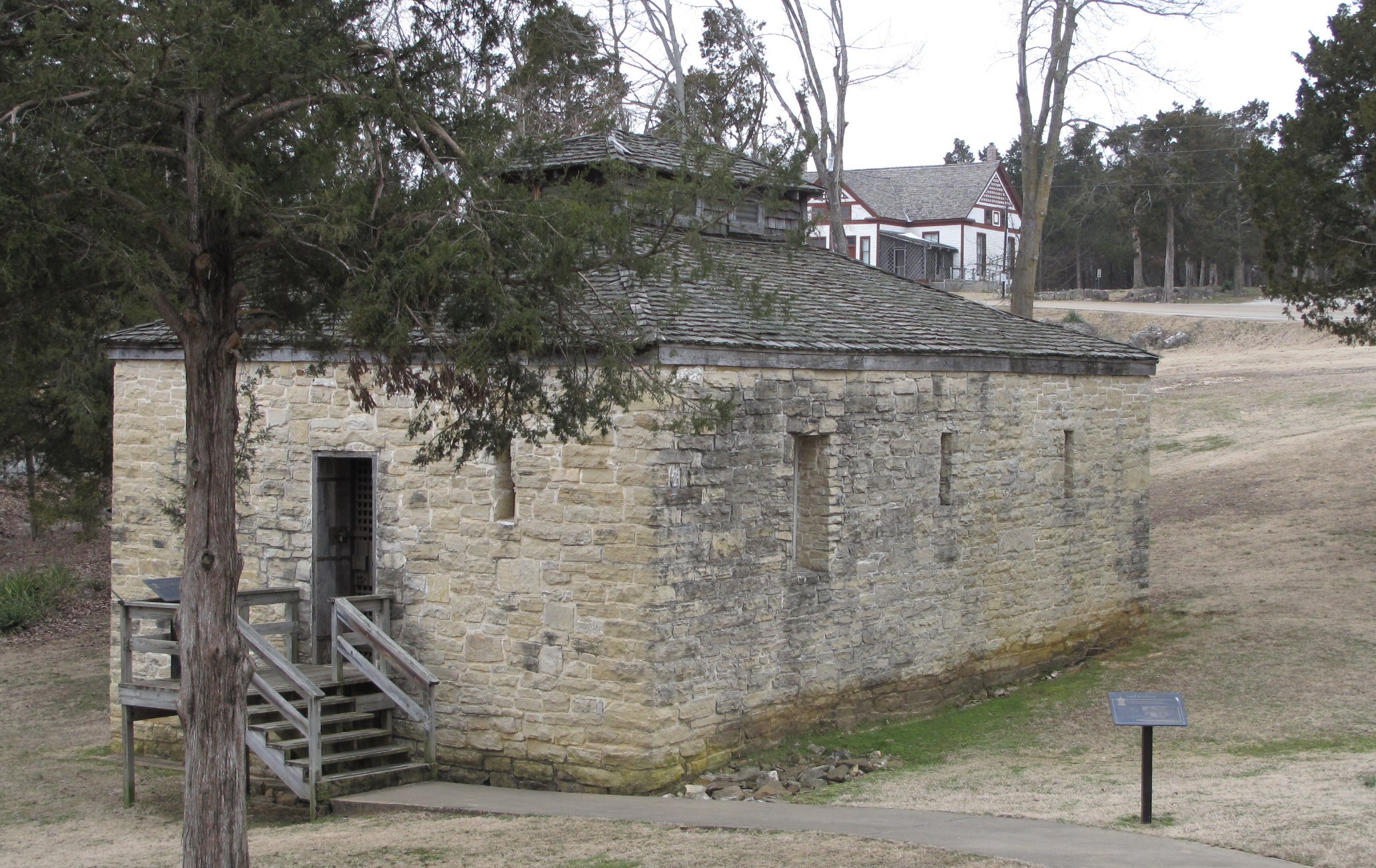
Powhatan Historic State Park (Ark.), 16 February 2010

Davidsonville Historic State Park (Ark.), 16 February 2010
Davidsonville Historic State Park (Ark.), 16 February 2010
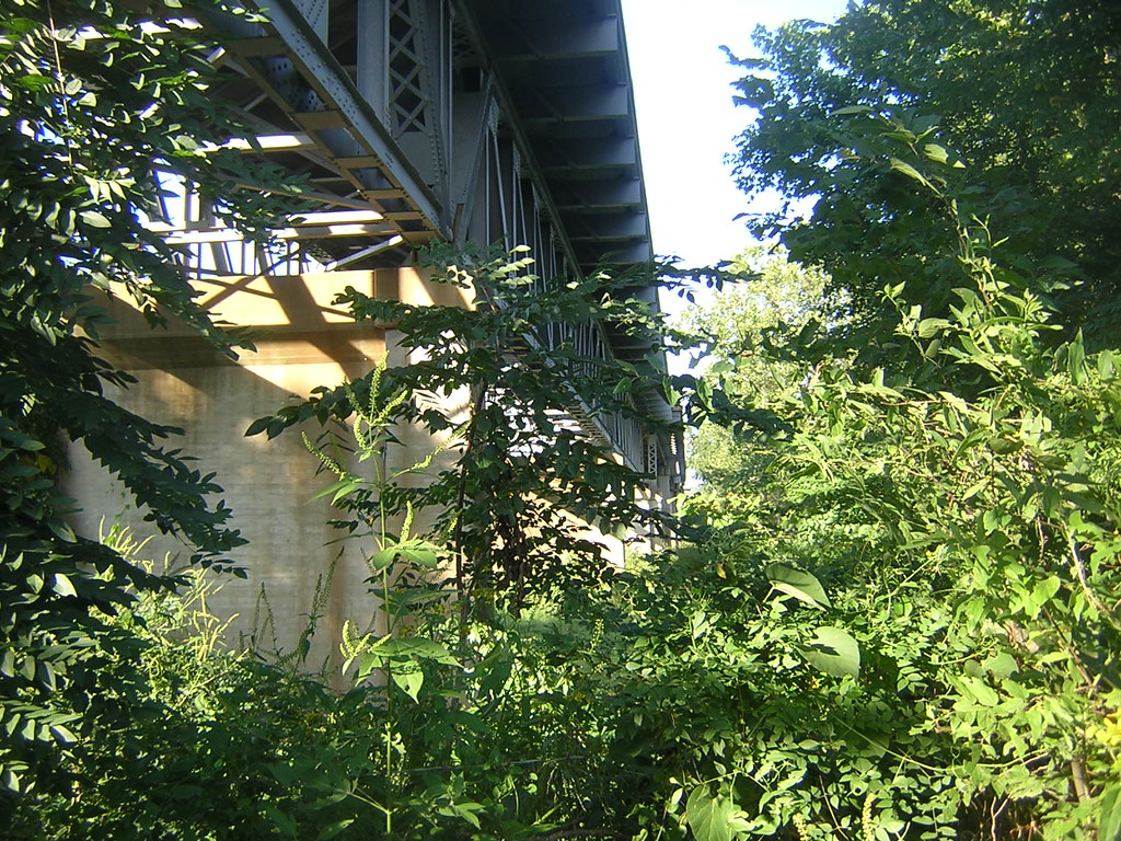
Imboden Bridge-Below

On the way to Pocahontas.

Bridge 380-01
Lake Charles Panorama 1

Bridge 380-12
Topographic Map of Powhatan, AR, USA
Find elevation by address:

Places in Powhatan, AR, USA:
Places near Powhatan, AR, USA:
AR-25, Powhatan, AR, USA
Black River Township
Lawrence Road 261
Law, Hoxie, AR, USA
E Front St, Portia, AR, USA
30 Lawrence Rd 211 S
Lawrence County
Lawrence Township
Lawrence Rd, Alicia, AR, USA
Richwoods Township
257 Lawrence Rd 201
Law, Walnut Ridge, AR, USA
Dent Township
Imboden
NE 1st St, Hoxie, AR, USA
Minturn
Annieville
AR-, Imboden, AR, USA
Annieville Township
SW Lindsey St, Hoxie, AR, USA
Recent Searches:
- Elevation of Woolwine, VA, USA
- Elevation of Lumagwas Diversified Farmers Multi-Purpose Cooperative, Lumagwas, Adtuyon, RV32+MH7, Pangantucan, Bukidnon, Philippines
- Elevation of Homestead Ridge, New Braunfels, TX, USA
- Elevation of Orchard Road, Orchard Rd, Marlborough, NY, USA
- Elevation of 12 Hutchinson Woods Dr, Fletcher, NC, USA
- Elevation of Holloway Ave, San Francisco, CA, USA
- Elevation of Norfolk, NY, USA
- Elevation of - San Marcos Pass Rd, Santa Barbara, CA, USA
- Elevation of th Pl SE, Issaquah, WA, USA
- Elevation of 82- D Rd, Captain Cook, HI, USA