Elevation of Pottawatomie County, OK, USA
Location: United States > Oklahoma >
Longitude: -97.006839
Latitude: 35.275439
Elevation: 322m / 1056feet
Barometric Pressure: 98KPa
Elevation Map:
Satellite Map:
Related Photos:

Suffer the Children
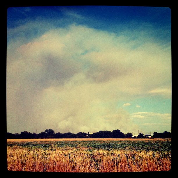
View of the smoke from the grass fire that is causing the evacuation
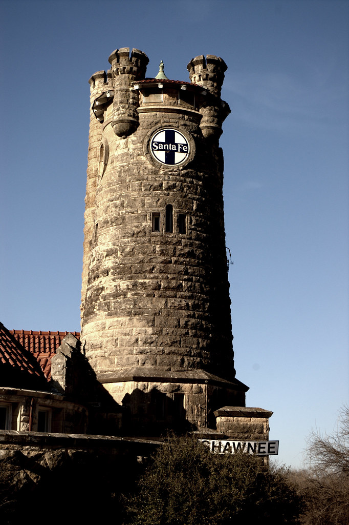
Old Santa Fe

exit...
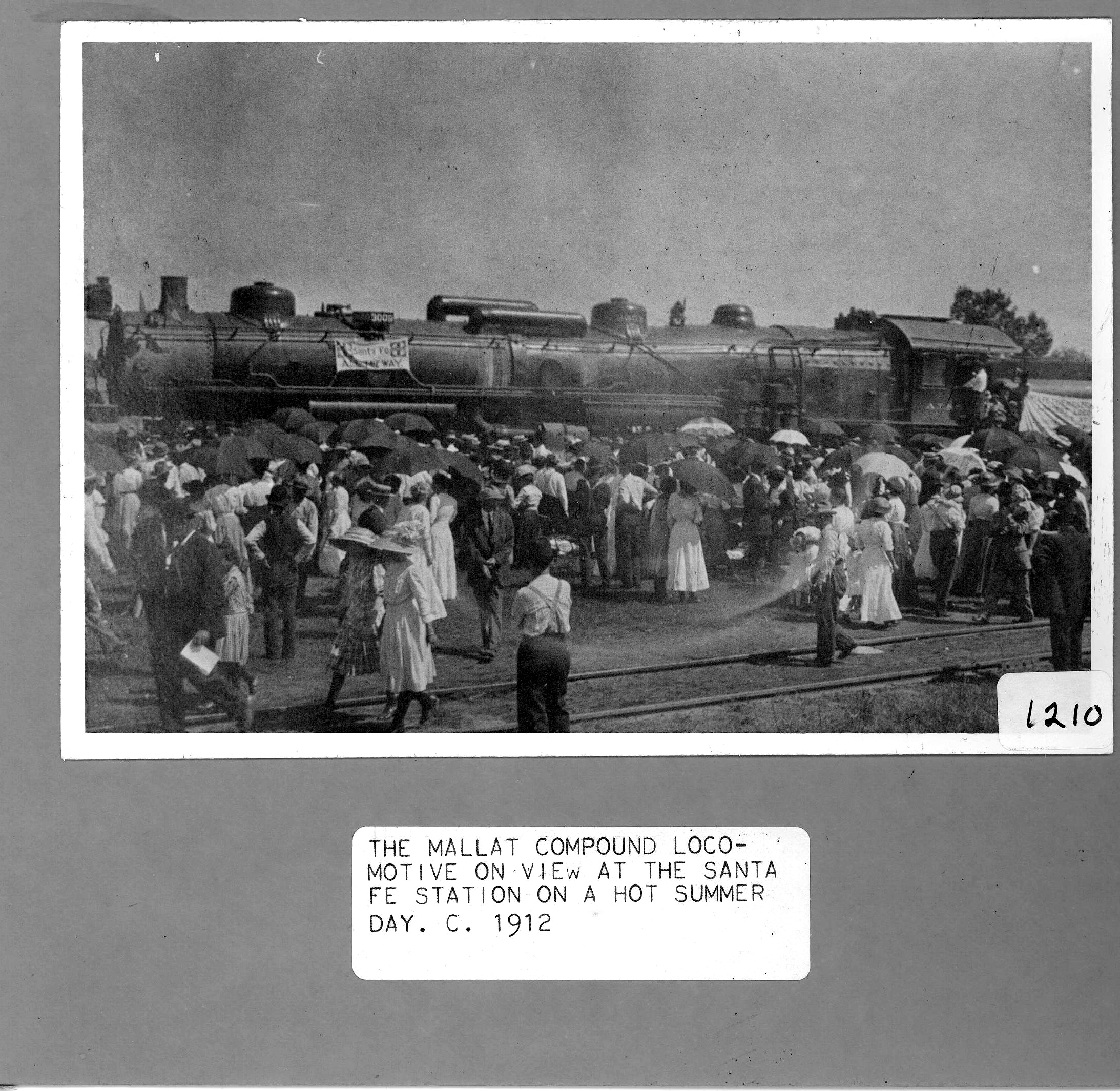
Mallat Compound Locomotive

Sunset.

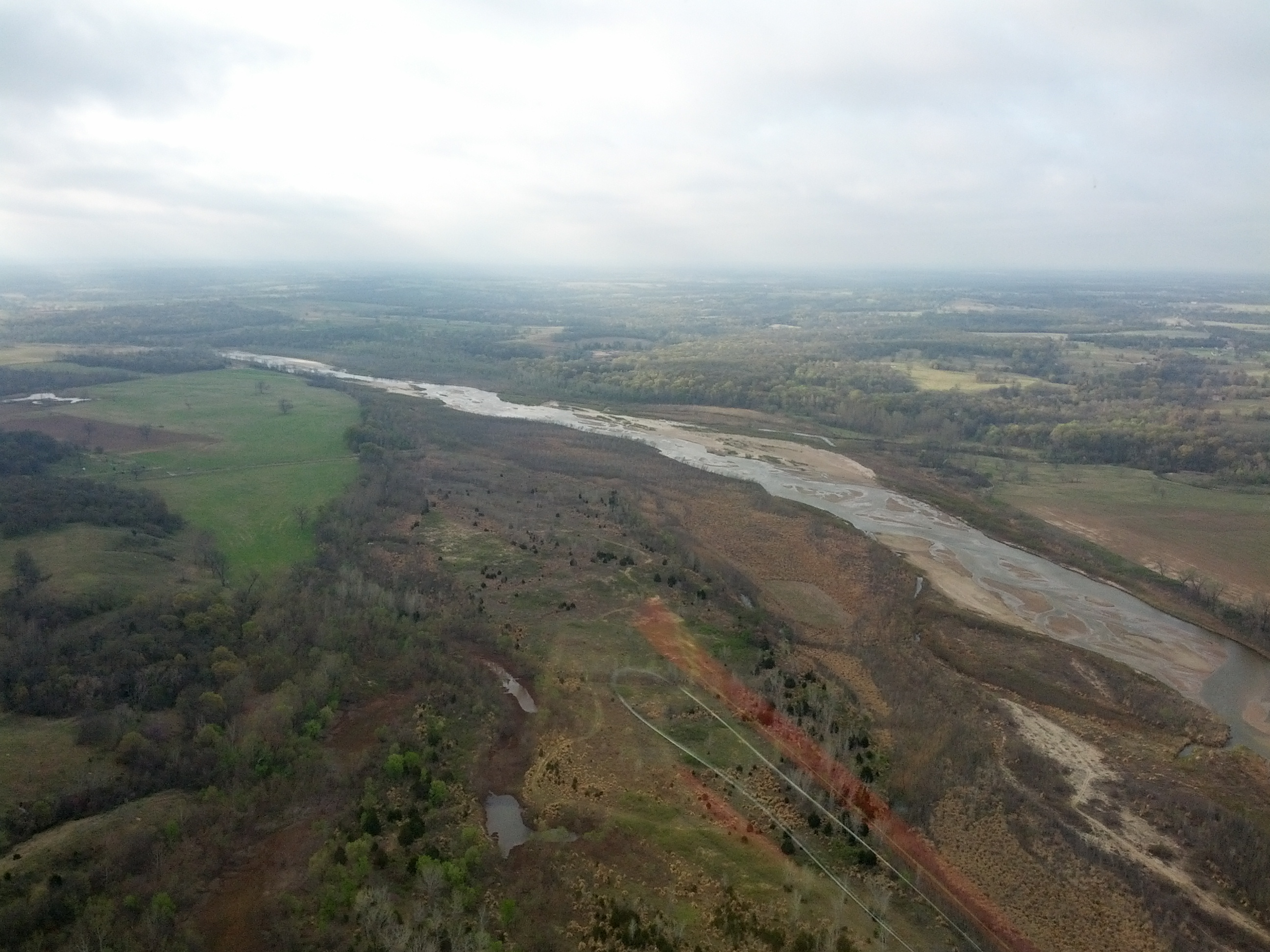
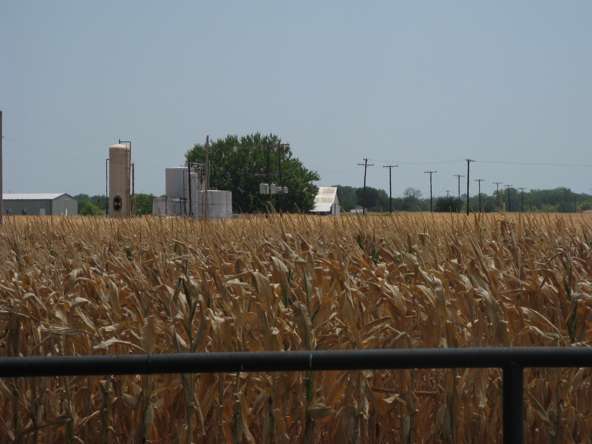
Oklahoma Grasslands

Through the wood

lawn care

Gordon's_Lawn_care

Yom Teruah Sunset
Trip to Oklahoma
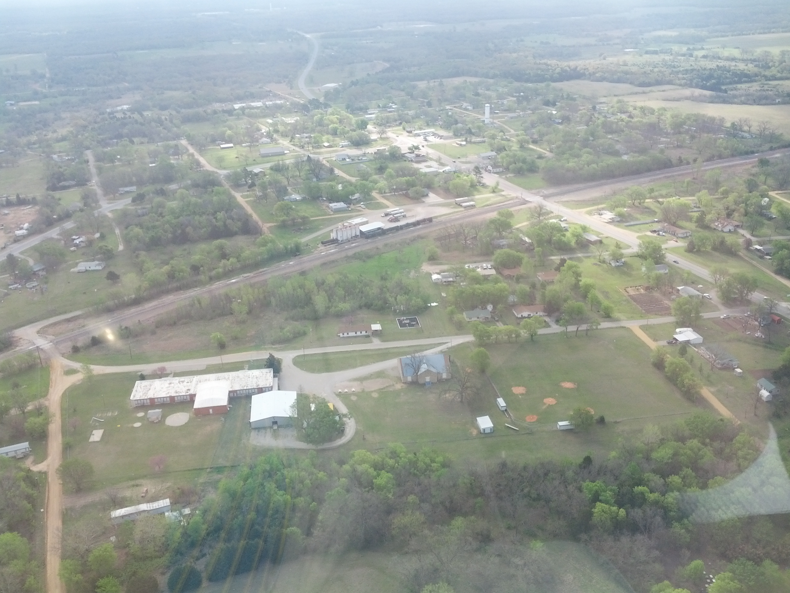
Gaddy, OK

front yard
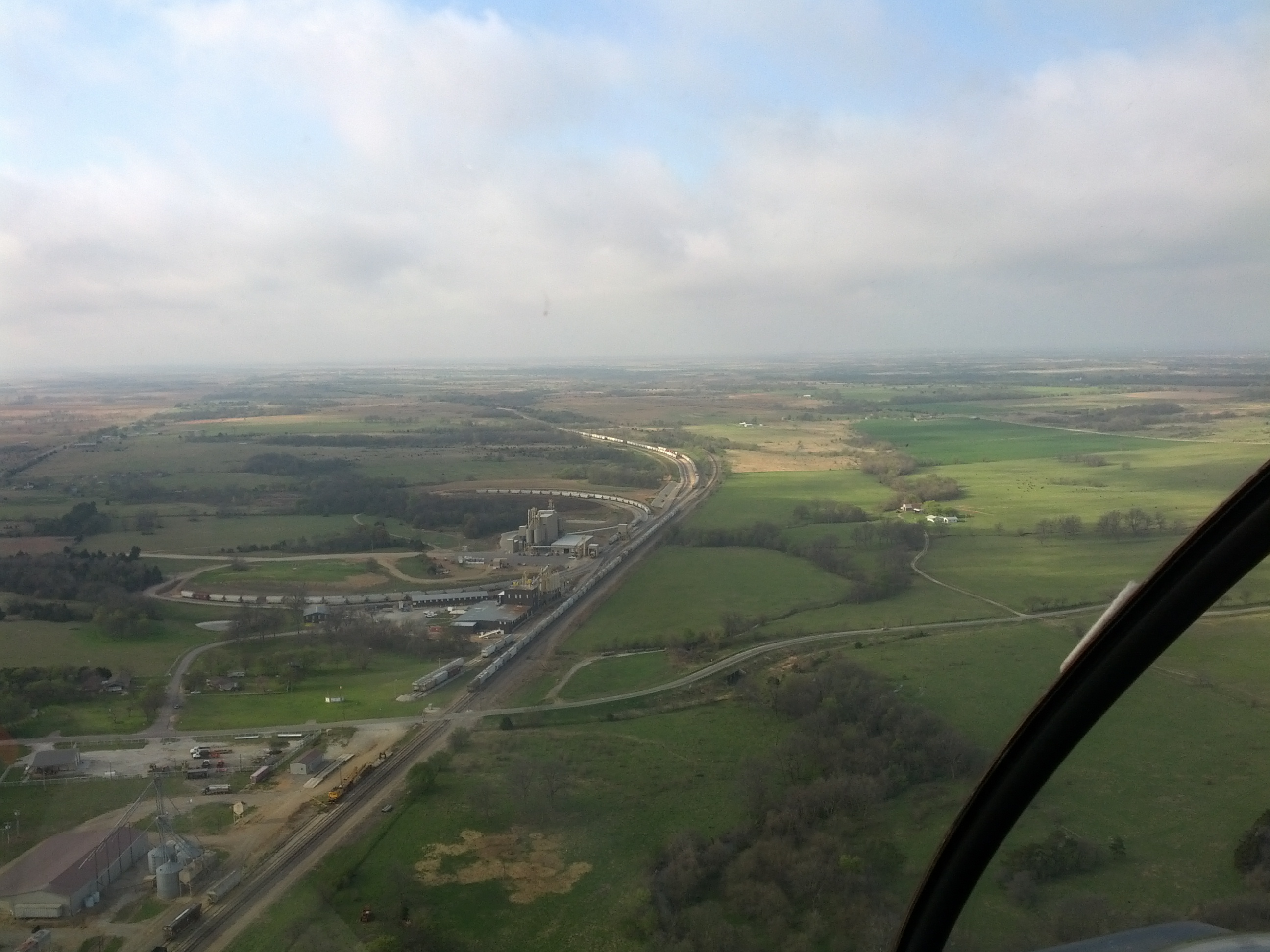
Trip to Oklahoma
Trip to Oklahoma
Topographic Map of Pottawatomie County, OK, USA
Find elevation by address:

Places in Pottawatomie County, OK, USA:
Places near Pottawatomie County, OK, USA:
Tecumseh
Gordon Cooper Dr, Tecumseh, OK, USA
Shawnee
1501 W Independence St
Oklahoma Baptist University
Geiger Center
OK-9A, Tecumseh, OK, USA
Meeker
Wolverine Rd, Prague, OK, USA
101915 S 3470 Rd
Seminole
National Shrine Of The Infant Jesus Of Prague
Prague
Lincoln County
Garretts Lake Road, Prague, OK, USA
Warwick
341000 Ok-66
Chandler
204 W 8th St
Davenport
Recent Searches:
- Elevation of Corso Fratelli Cairoli, 35, Macerata MC, Italy
- Elevation of Tallevast Rd, Sarasota, FL, USA
- Elevation of 4th St E, Sonoma, CA, USA
- Elevation of Black Hollow Rd, Pennsdale, PA, USA
- Elevation of Oakland Ave, Williamsport, PA, USA
- Elevation of Pedrógão Grande, Portugal
- Elevation of Klee Dr, Martinsburg, WV, USA
- Elevation of Via Roma, Pieranica CR, Italy
- Elevation of Tavkvetili Mountain, Georgia
- Elevation of Hartfords Bluff Cir, Mt Pleasant, SC, USA