Elevation of Potomac Dr, Heathsville, VA, USA
Location: United States > Virginia > Northumberland County > Heathsville >
Longitude: -76.406185
Latitude: 37.9618837
Elevation: 3m / 10feet
Barometric Pressure: 101KPa
Elevation Map:
Satellite Map:
Related Photos:
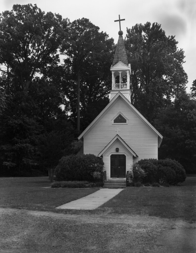
St. Mary's Chapel

Old Friends

All I Saw At Point Lookout
Point of View
Point Lookout Lighthouse - Point Lookout Maryland - 2012-01-15
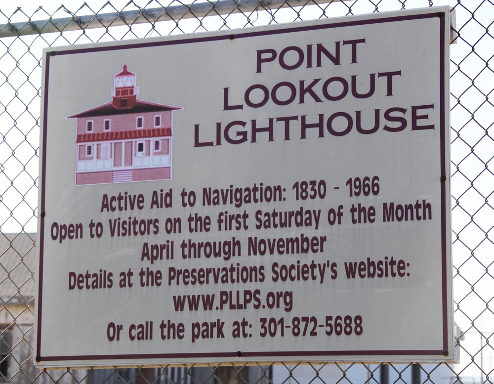
Lighthouse signage - Point Lookout Maryland - 2012-01-15

Wood Thrush

Chesapeake Bay View From Condit Pond

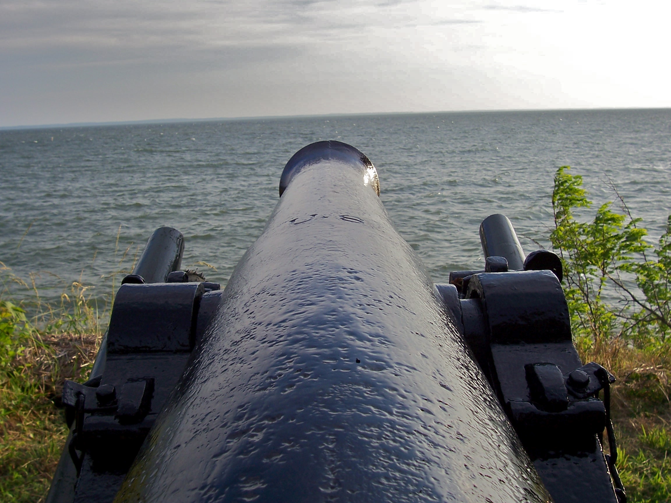
5. Limber Chest & Ammo

Point Lookout Lighthouse tower
Down Range

Point Lookout Lighthouse view from light

Point Lookout Lighthouse view south
Damage Survey (video)
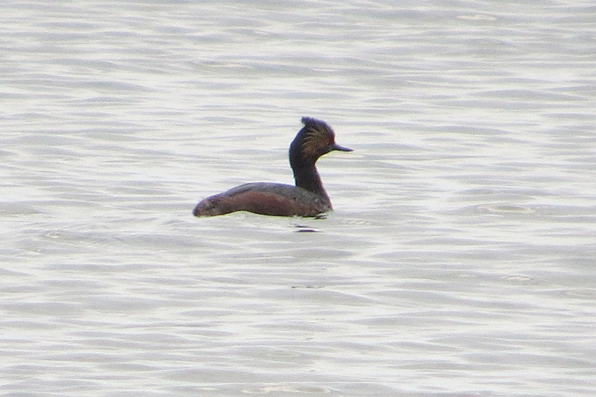
Eared Grebe
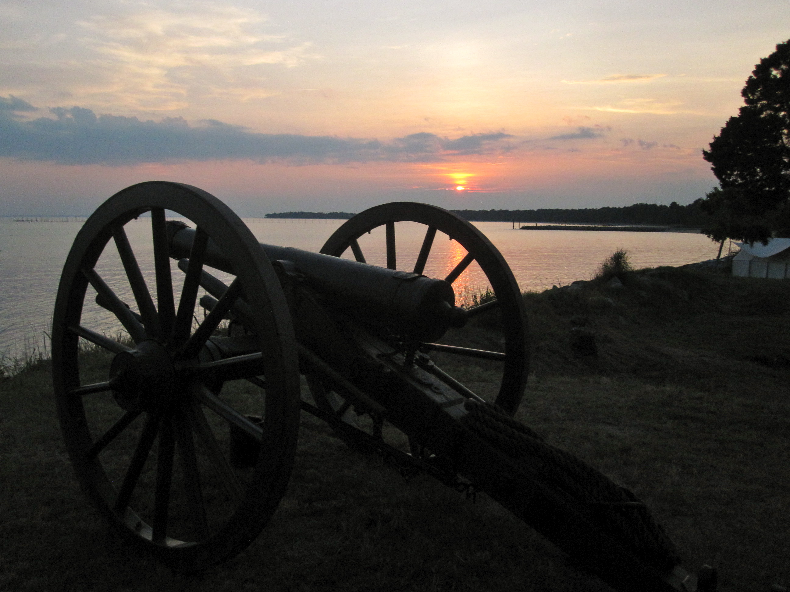
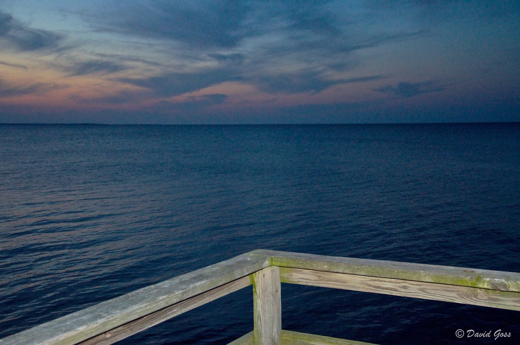
Potomac Sunset View
Potomac Sunset View
Pulling the Lanyard

Monochrome Beach

Great Horned Owl at sunset

Harris Farm - Heathsville, Virginia
Spring Break - Scotland, MD (98)
Maryland state Confederate Cemetery Memorial 02 - Point Lookout Maryland - 2012-01-15

Tricky Footing
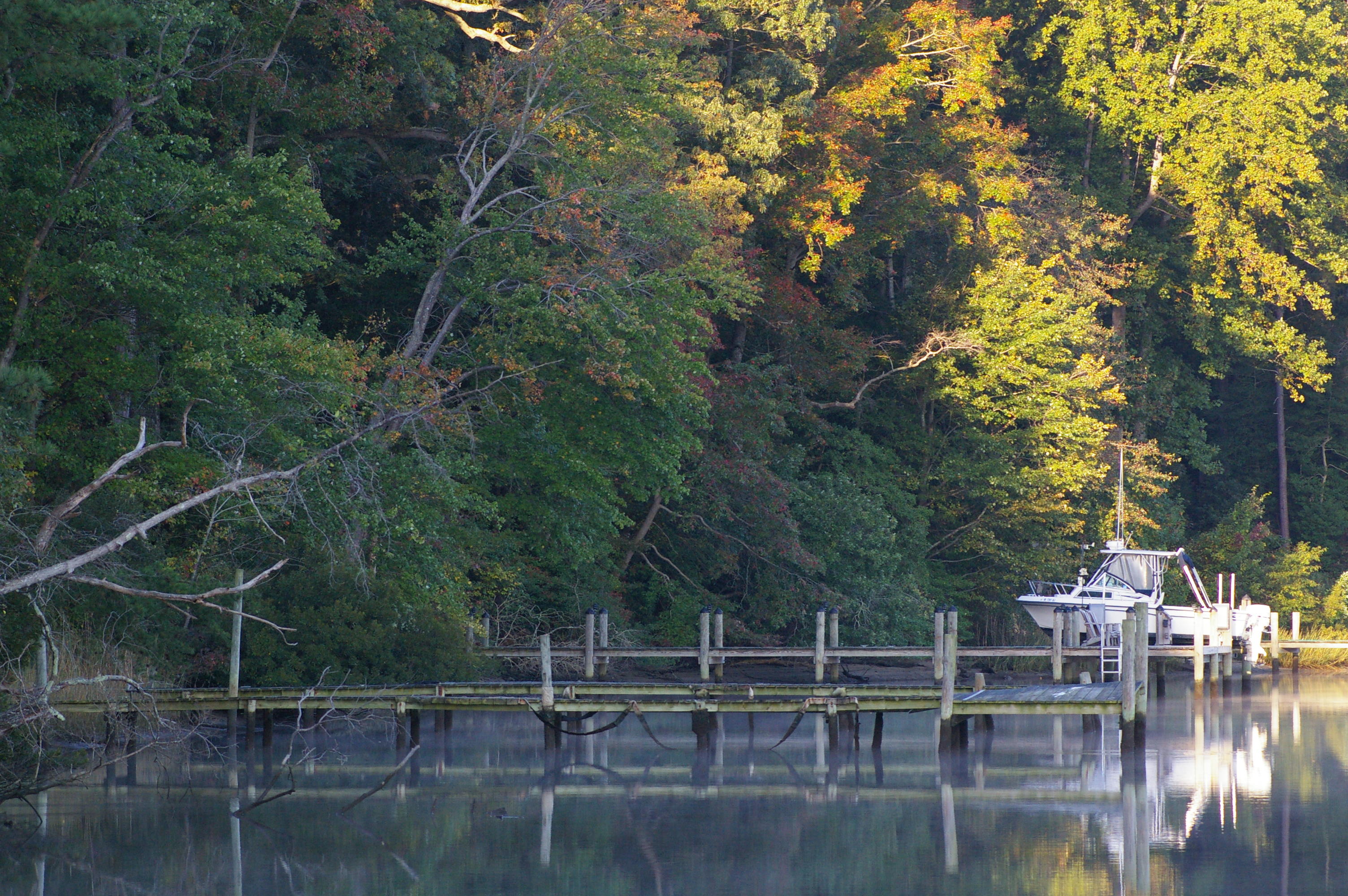
Rowes Landing at Sunrise

Beyond the Point...
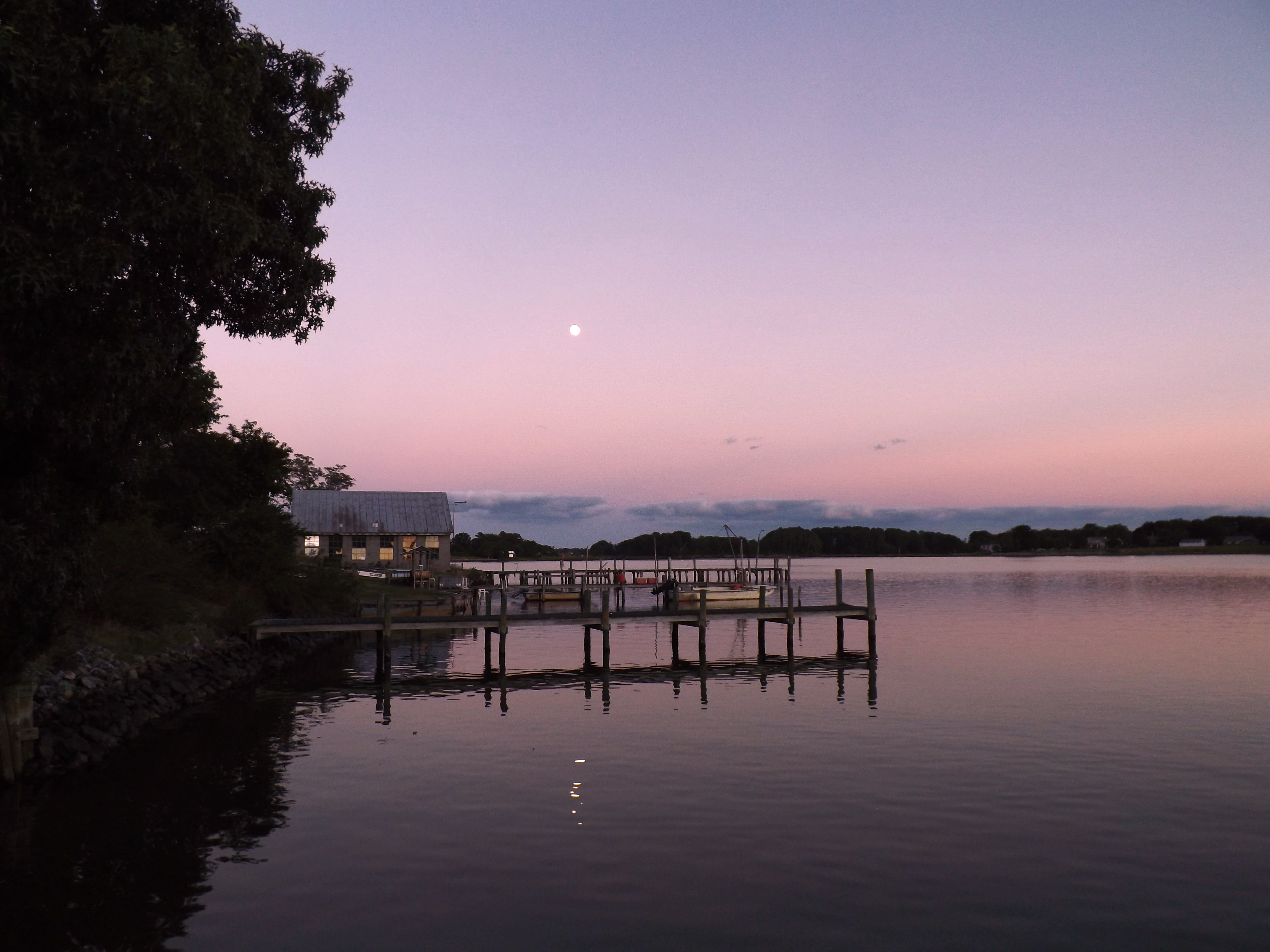
Moon Rising as seen from Krentz Marina, Northumberland County, VA

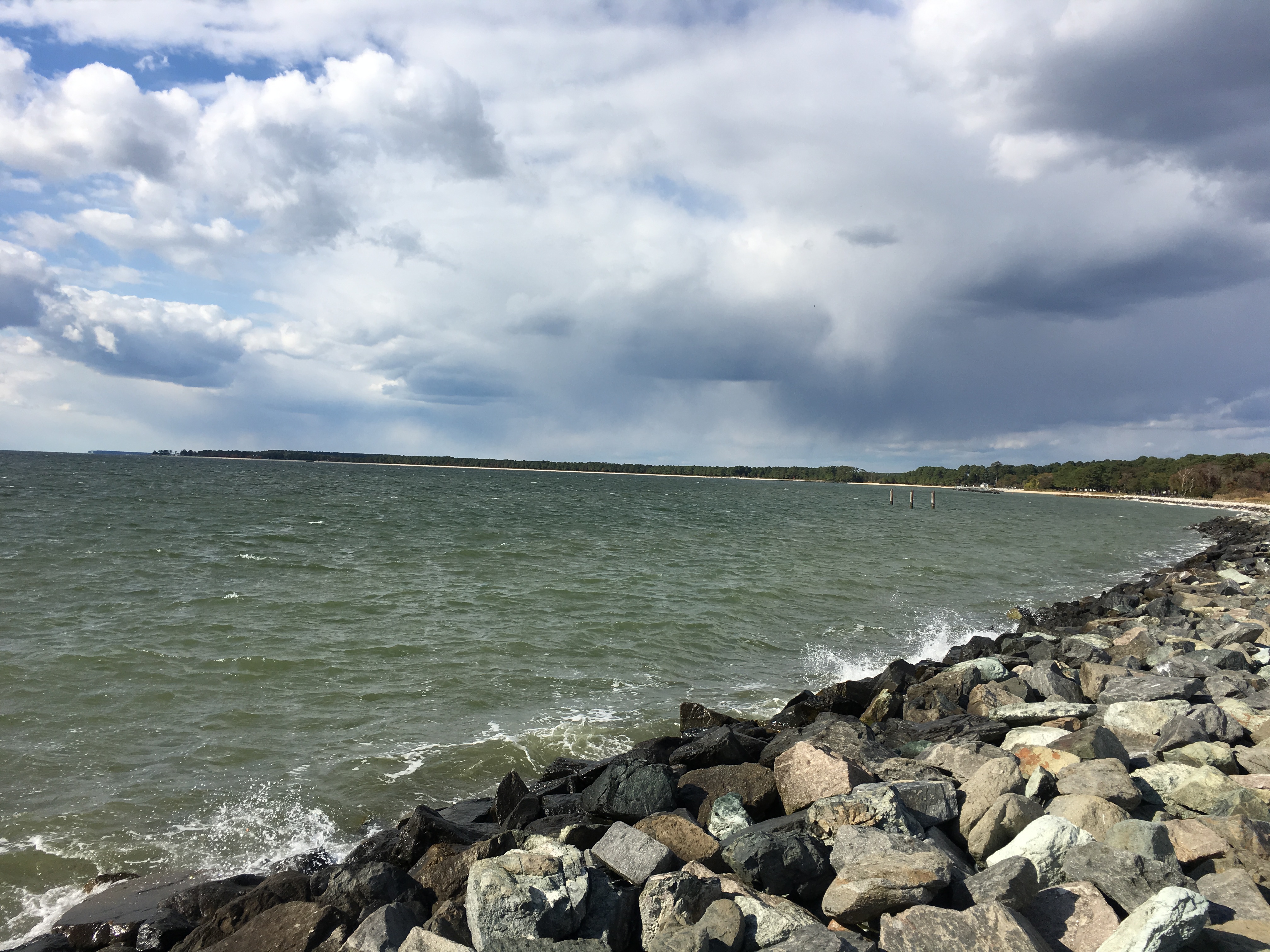
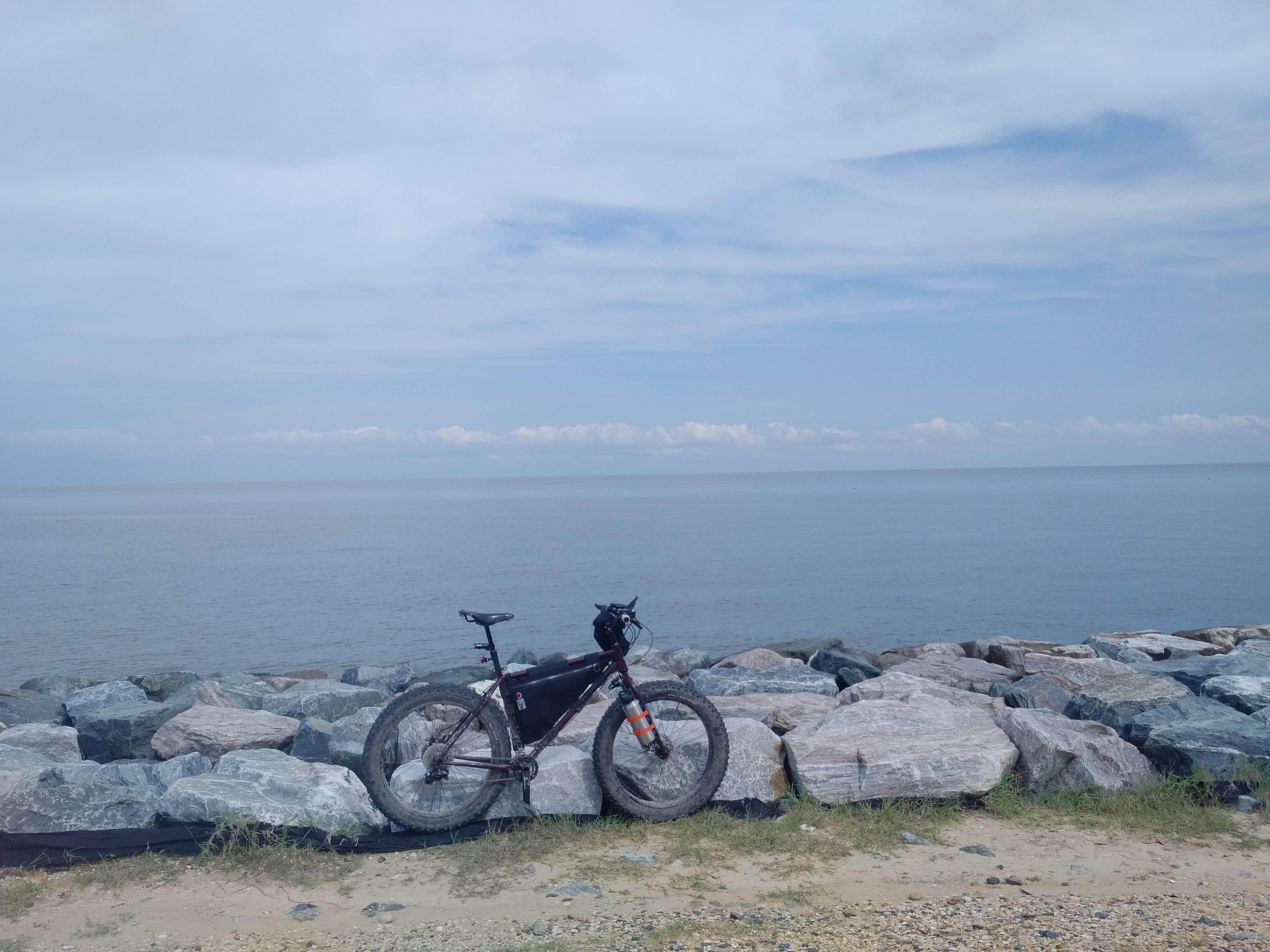
Riprap at Point Lookout Lighthouse

Sunset at Point Lookout
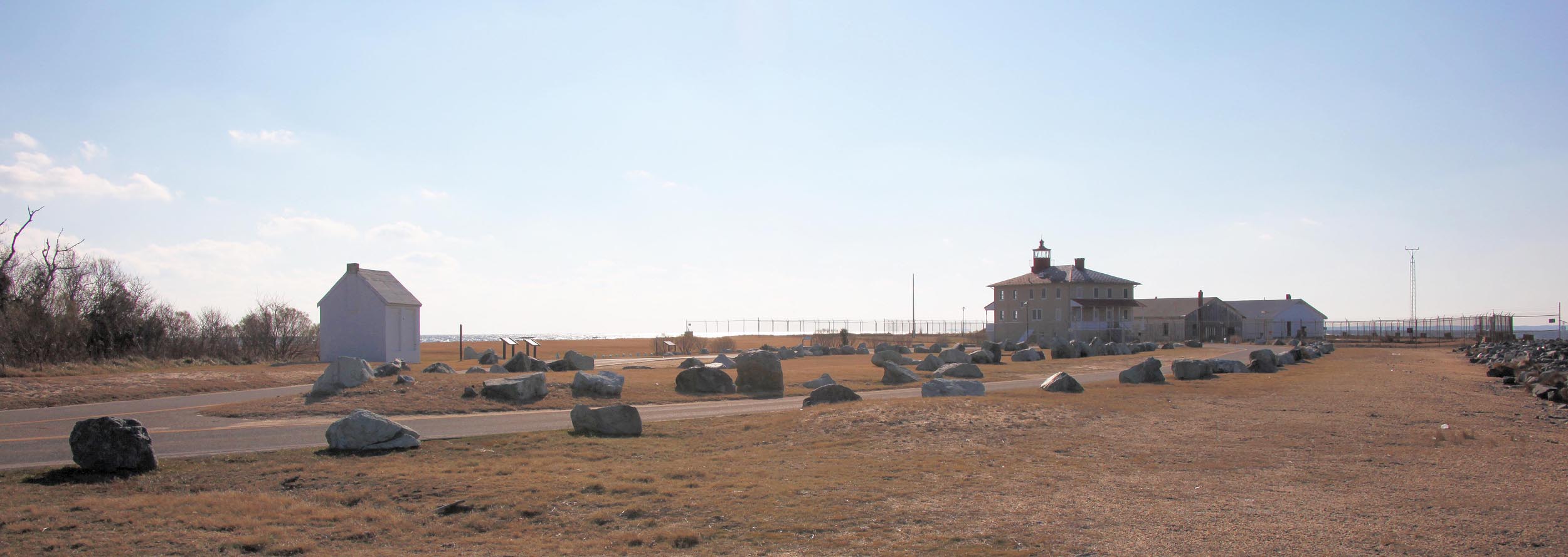
Point Lookout State Park

Drive-by
Atlantic Ocean beach and breakwater - Point Lookout Maryland - 2012-01-15
Got any bright ideas, anyone?
IMG_0278-1
Dog in the field
Looking S across mouth of Potomac River at Virginia - Point Lookout Maryland - 2012-01-15
20180825_23 Walls60

Maryland Shore
Topographic Map of Potomac Dr, Heathsville, VA, USA
Find elevation by address:

Places near Potomac Dr, Heathsville, VA, USA:
4016 Newmans Neck Rd
113 Fleets Cove Ln
Northumberland County
7483 Northumberland Hwy
Coopers Landing Rd, Heathsville, VA, USA
Heathsville
138 Rowes Landing Rd
76 Wicomico Way
143 Canvasback Ln
3585 Courthouse Rd
2085 Coan Church Rd
Northumberland Hwy, Callao, VA, USA
2, VA, USA
Owl Point Road
Surprise Hill
3, VA, USA
1151 Dodlyt Rd
Northumberland Hwy, Reedville, VA, USA
20 Regina Rd, Lancaster, VA, USA
Reason Creek
Recent Searches:
- Elevation of Gateway Blvd SE, Canton, OH, USA
- Elevation of East W.T. Harris Boulevard, E W.T. Harris Blvd, Charlotte, NC, USA
- Elevation of West Sugar Creek, Charlotte, NC, USA
- Elevation of Wayland, NY, USA
- Elevation of Steadfast Ct, Daphne, AL, USA
- Elevation of Lagasgasan, X+CQH, Tiaong, Quezon, Philippines
- Elevation of Rojo Ct, Atascadero, CA, USA
- Elevation of Flagstaff Drive, Flagstaff Dr, North Carolina, USA
- Elevation of Avery Ln, Lakeland, FL, USA
- Elevation of Woolwine, VA, USA