Elevation of Porus, Jamaica
Location: Jamaica > Manchester Parish >
Longitude: -77.410667
Latitude: 18.0345922
Elevation: 133m / 436feet
Barometric Pressure: 100KPa
Elevation Map:
Satellite Map:
Related Photos:

IMG_1010

IMG_0921

IMG_0815

IMG_0940

IMG_1011

IMG_0941

IMG_0968

IMG_0963

IMG_0840
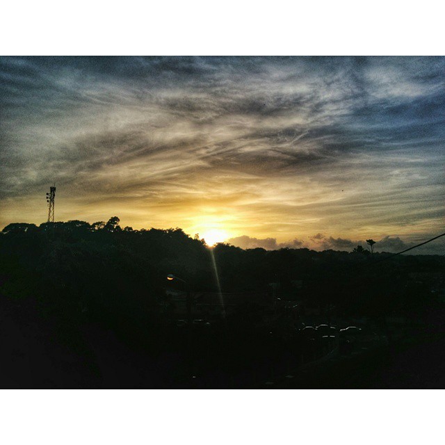
Le sunset in Mandeville #nature #sunset #beauty #timetogohome

YK Waterfalls
Time for some Sabbath afternoon sky porn #skyporn #scenery #clouds #evening #nature #landscape #beauty #hdr #Nexus5Photo #Jamaica #sky
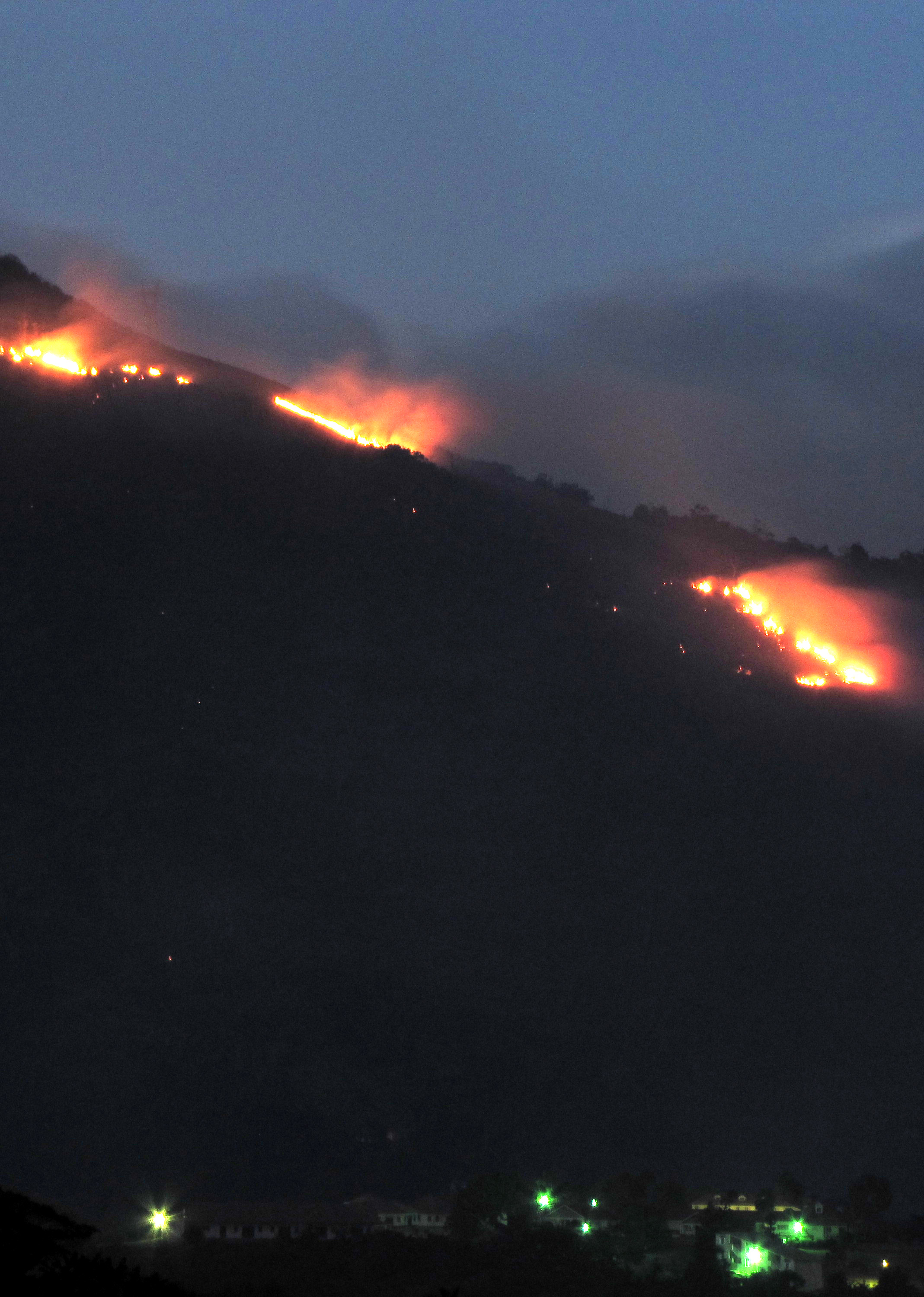
Shooters Fire
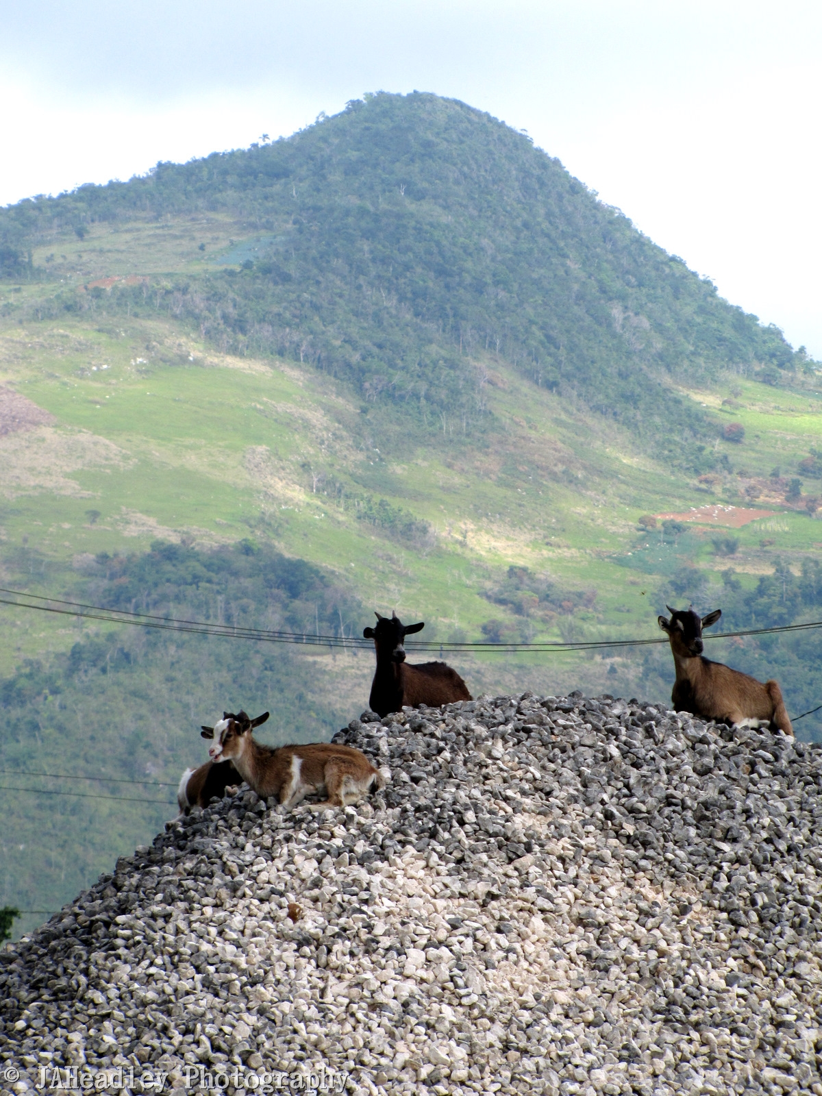
Hill Goats 2
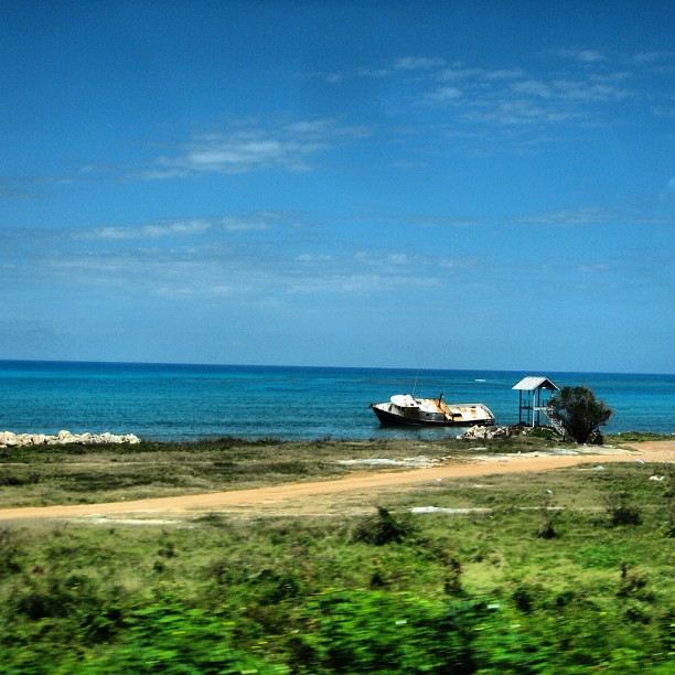
#beautiful #beautifulday #travel #jamaica #ocean #sky #boat #blue #gorgeous #driving #inmotion #photography #photographer #ma5tr0 #followme #nofilter #instagood #instamood #instadaily #igers #photogallery #oldpic #gorgeous #instarelax
Topographic Map of Porus, Jamaica
Find elevation by address:

Places near Porus, Jamaica:
Royal Flat
Heartease
Kendal Police Station
Mandeville
Battersea Road
Waltham Road & Rockton Drive
Waltham Road & Rockton Drive
Knockpatrick
Manchester Parish
Saint Jago
Frankfield
Blenheim Town Road
Pratville Health Centre
Pratville Assembly Of God
Moorlands Camps
Spalding
Newport
Total Spur Tree
Spur Tree
Christiana
Recent Searches:
- Elevation of Fernwood, Bradenton, FL, USA
- Elevation of Felindre, Swansea SA5 7LU, UK
- Elevation of Leyte Industrial Development Estate, Isabel, Leyte, Philippines
- Elevation of W Granada St, Tampa, FL, USA
- Elevation of Pykes Down, Ivybridge PL21 0BY, UK
- Elevation of Jalan Senandin, Lutong, Miri, Sarawak, Malaysia
- Elevation of Bilohirs'k
- Elevation of 30 Oak Lawn Dr, Barkhamsted, CT, USA
- Elevation of Luther Road, Luther Rd, Auburn, CA, USA
- Elevation of Unnamed Road, Respublika Severnaya Osetiya — Alaniya, Russia