Elevation of Porto Rico Rd, East Kootenay C, BC V0B, Canada
Location: Canada > British Columbia > East Kootenay > East Kootenay C >
Longitude: -115.83342
Latitude: 49.308776
Elevation: 934m / 3064feet
Barometric Pressure: 91KPa
Elevation Map:
Satellite Map:
Related Photos:

Merlin (Falco columbarius)
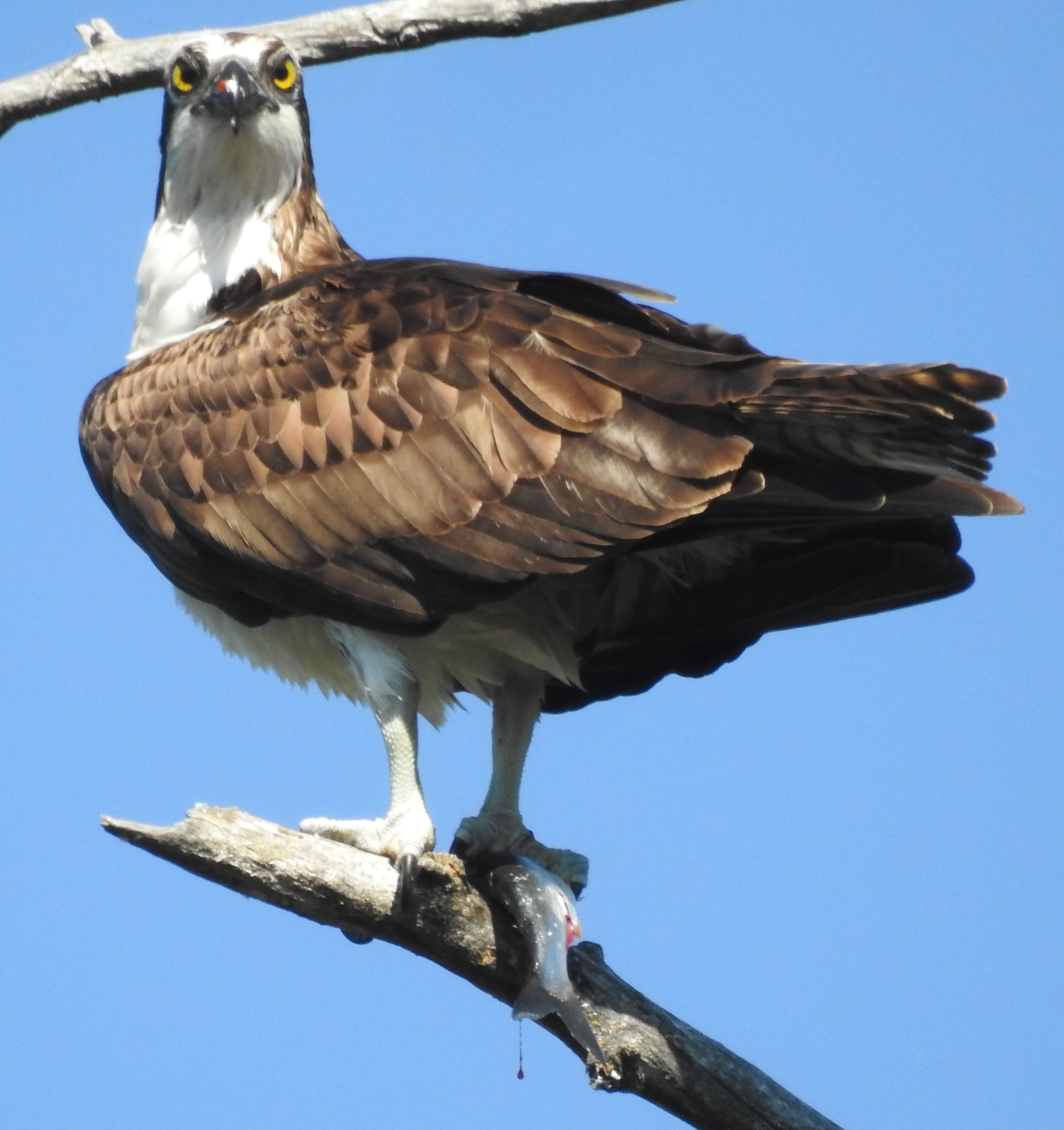
Osprey (Pandion haliaetus)
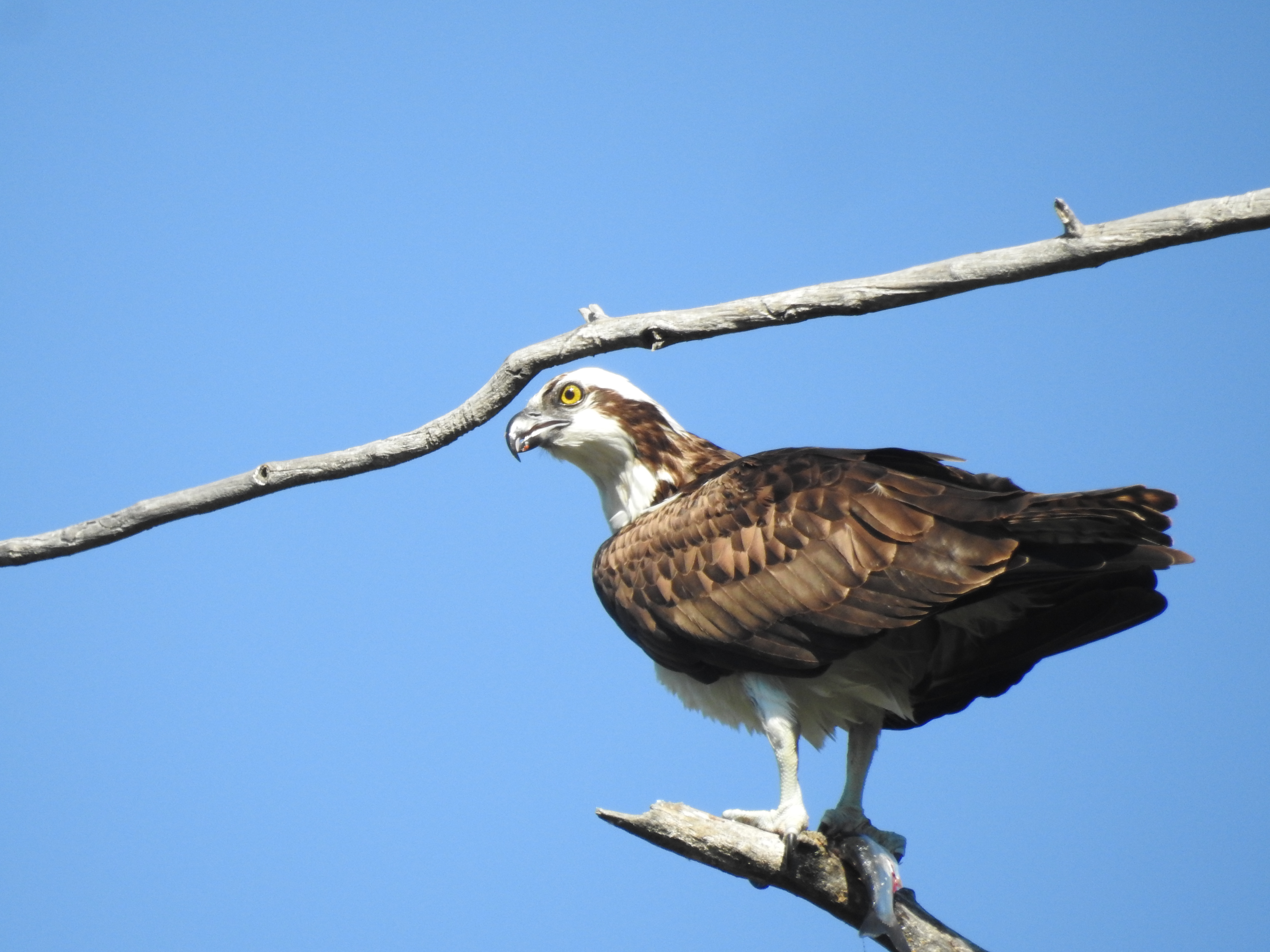
Osprey (Pandion haliaetus)
Summer Memories
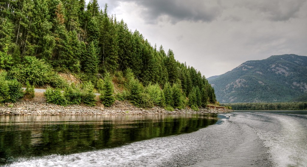
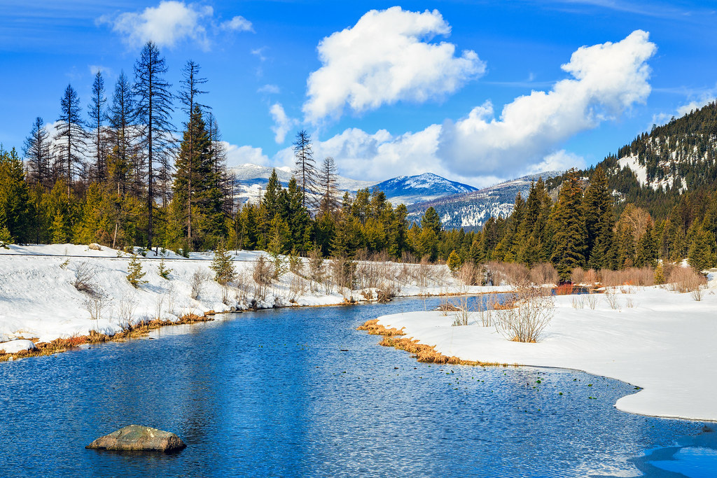
Moyie Lake
Day 53: Canadian Postcard
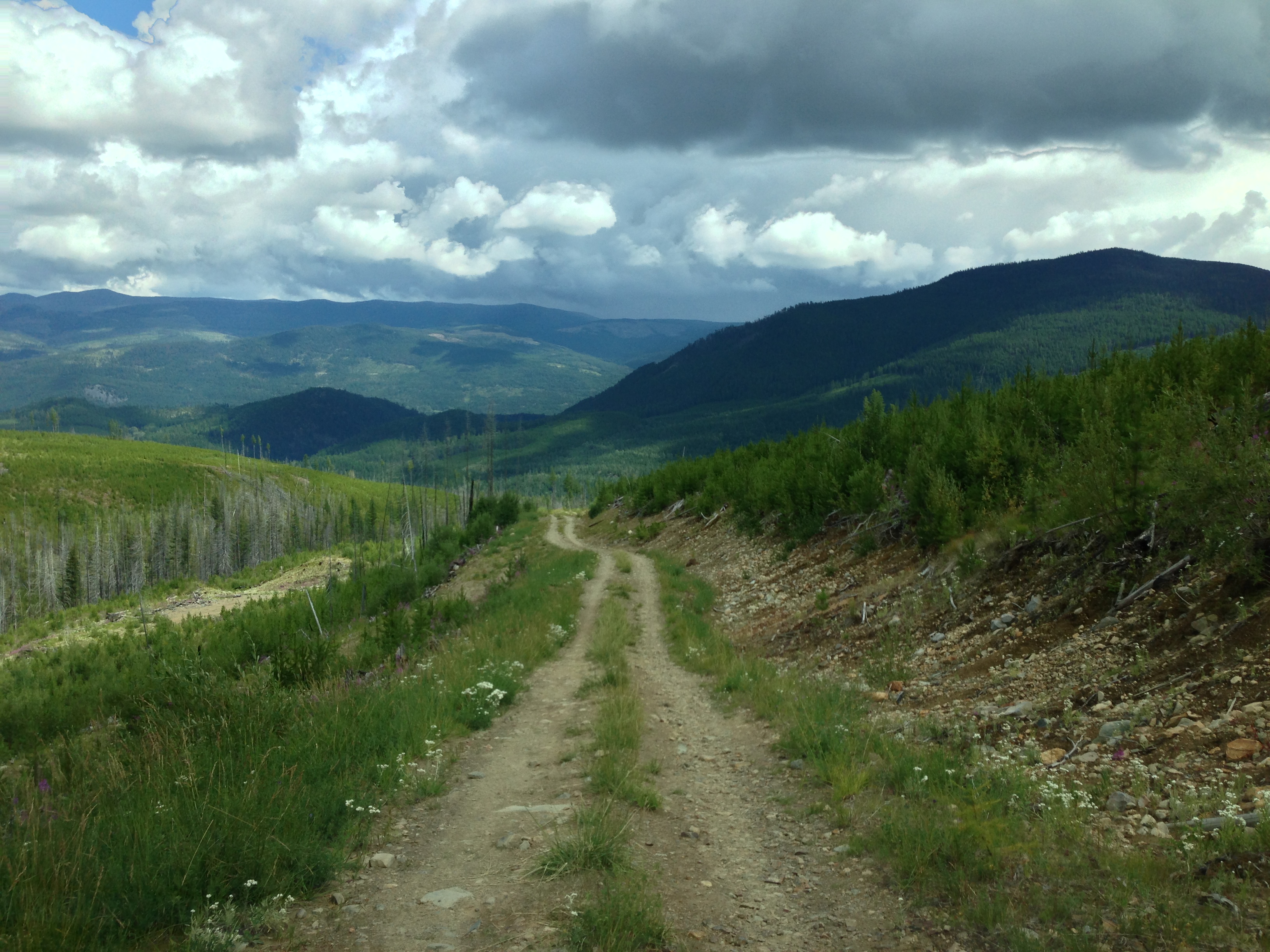
Offroading it

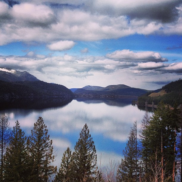
Moyie Lake reflection

Hidden Valley Lake, British Columbia, Canada
Crowsnest Highway, British Columbia. #viewfrommyofficewindow #rsa_truckers #trucking #truckinlife #truckinglife #rsa_nature #bc #drivebritishcolumbia

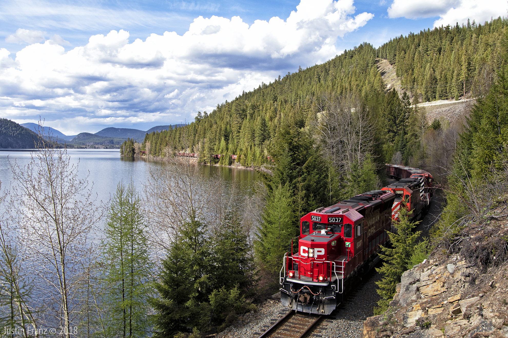
Moyie Lake, BC Canada

Crow's Nest, British Columbia

dipped...

Everyday for 7 Weeks–Day 5–Coeur d’Alene to Cranbrook
Topographic Map of Porto Rico Rd, East Kootenay C, BC V0B, Canada
Find elevation by address:

Places near Porto Rico Rd, East Kootenay C, BC V0B, Canada:
3240 Porto Rico Rd
Moyie
Moyie Lake
7203 Monroe Lake Rd
4316 Hilltop Crescent
V1c 5s9
New Lake
218 11 Ave S
15 Crowsnest Hwy
44 13 Ave S
Cranbrook
527 Briar Ave Nw
2009 Harris Rd
1564 Crowsnest Hwy
1401 Willowbrook Dr #15
1401 Willowbrook Dr #15
1401 Willowbrook Dr
Willowbrook Drive
Willowbrook Drive
Willowbrook Drive
Recent Searches:
- Elevation of Steadfast Ct, Daphne, AL, USA
- Elevation of Lagasgasan, X+CQH, Tiaong, Quezon, Philippines
- Elevation of Rojo Ct, Atascadero, CA, USA
- Elevation of Flagstaff Drive, Flagstaff Dr, North Carolina, USA
- Elevation of Avery Ln, Lakeland, FL, USA
- Elevation of Woolwine, VA, USA
- Elevation of Lumagwas Diversified Farmers Multi-Purpose Cooperative, Lumagwas, Adtuyon, RV32+MH7, Pangantucan, Bukidnon, Philippines
- Elevation of Homestead Ridge, New Braunfels, TX, USA
- Elevation of Orchard Road, Orchard Rd, Marlborough, NY, USA
- Elevation of 12 Hutchinson Woods Dr, Fletcher, NC, USA