Elevation of Portia Peak, Fraser Valley B, BC V0X, Canada
Location: Canada > British Columbia > Yale >
Longitude: -121.1525
Latitude: 49.5419444
Elevation: 1858m / 6096feet
Barometric Pressure: 81KPa
Elevation Map:
Satellite Map:
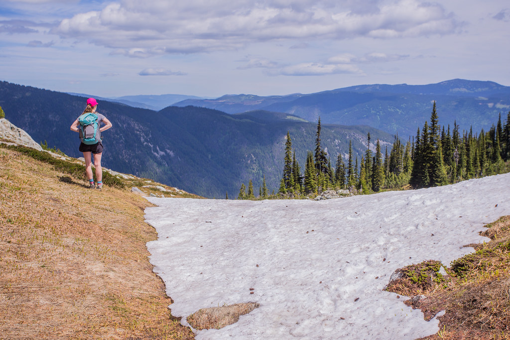
Related Photos:

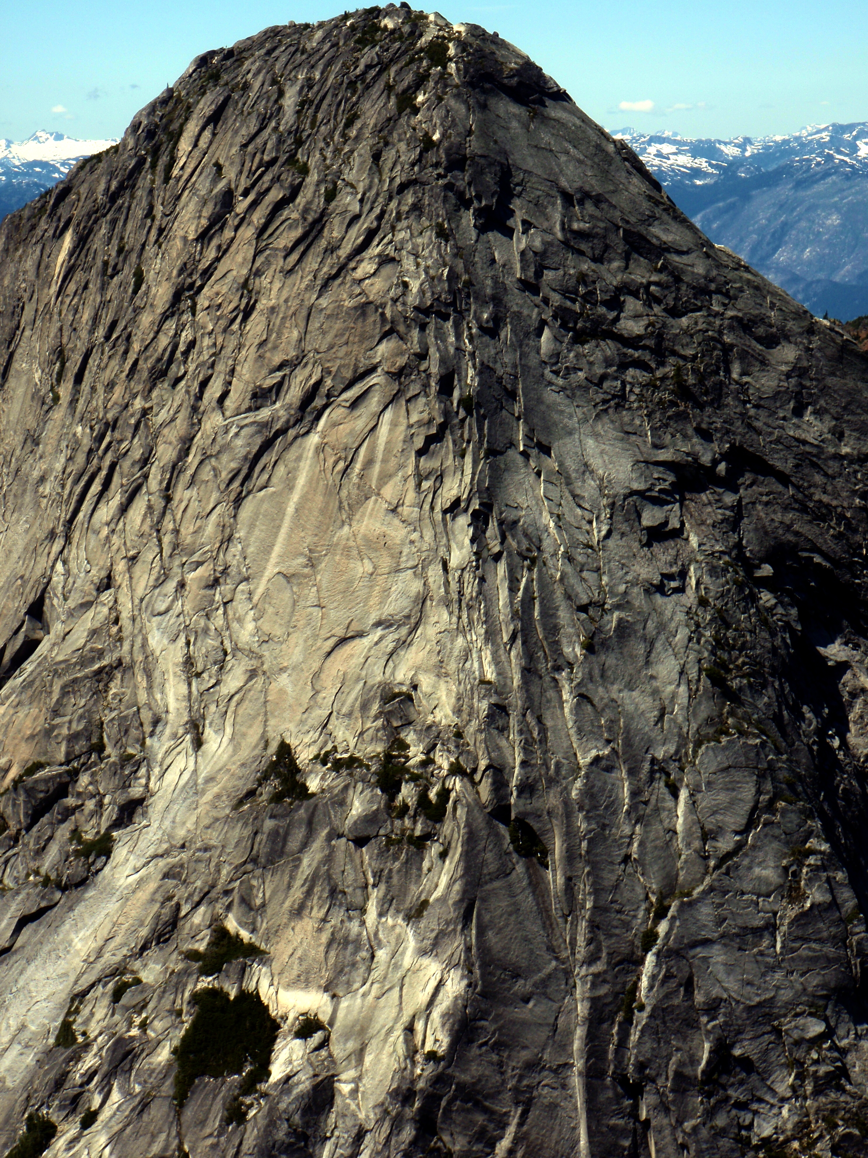
A Yak Peak profile
Ibex Southeast Ridge
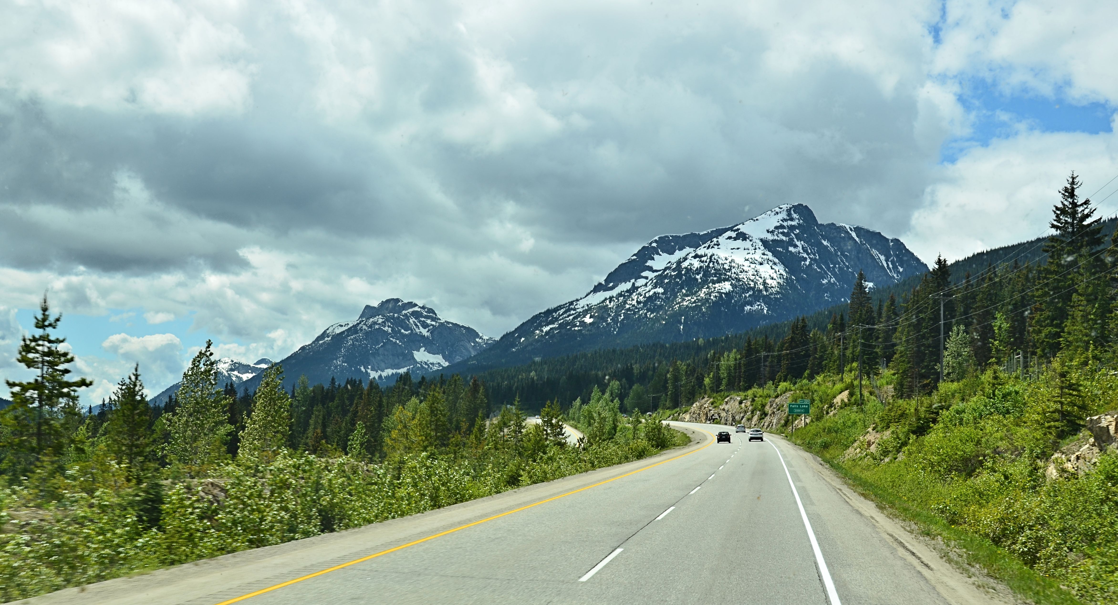
Coquihalla Highway View
2015 Day 200 - Coquihalla Mountain from Ilal Peak
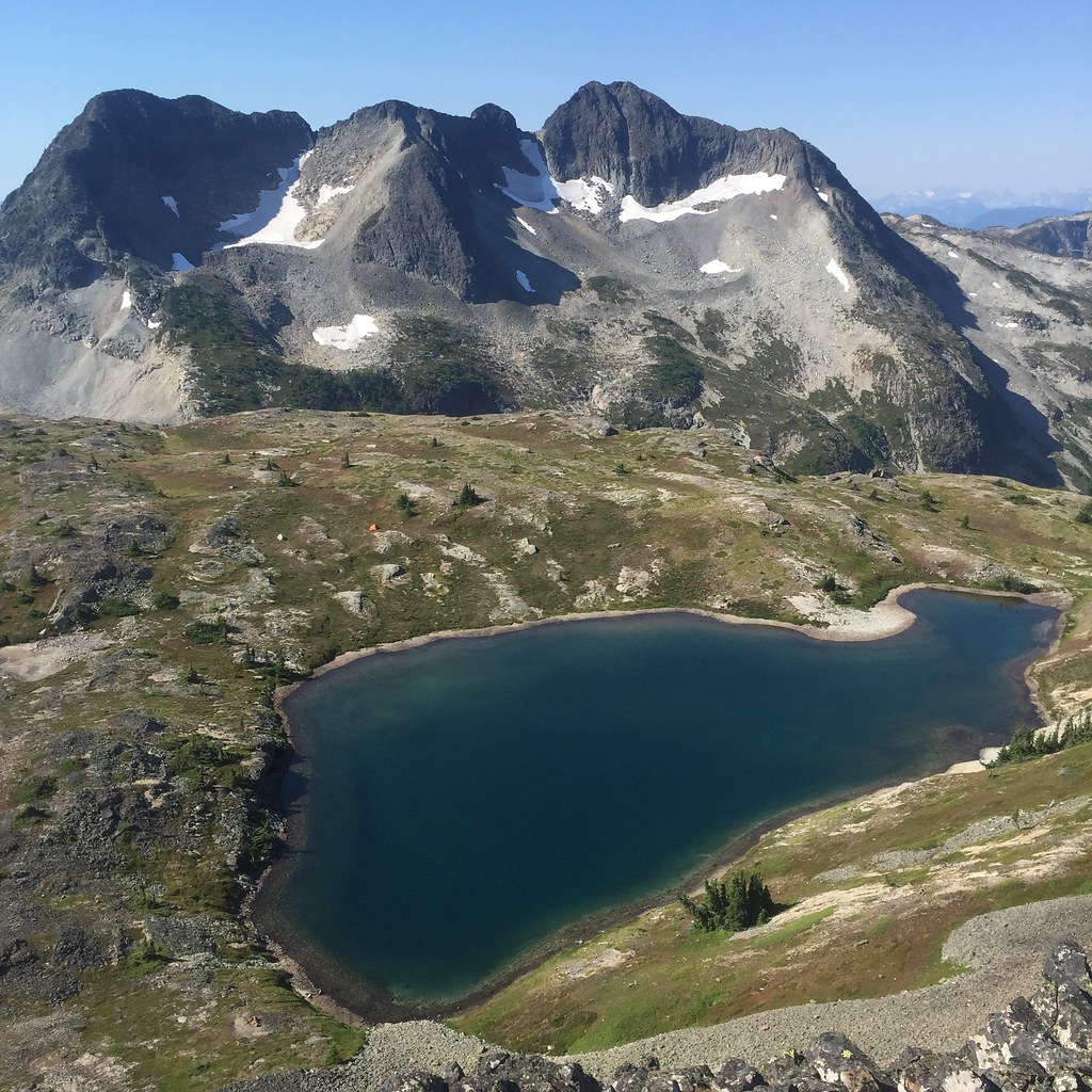
Lunch with a view
Admiring the view
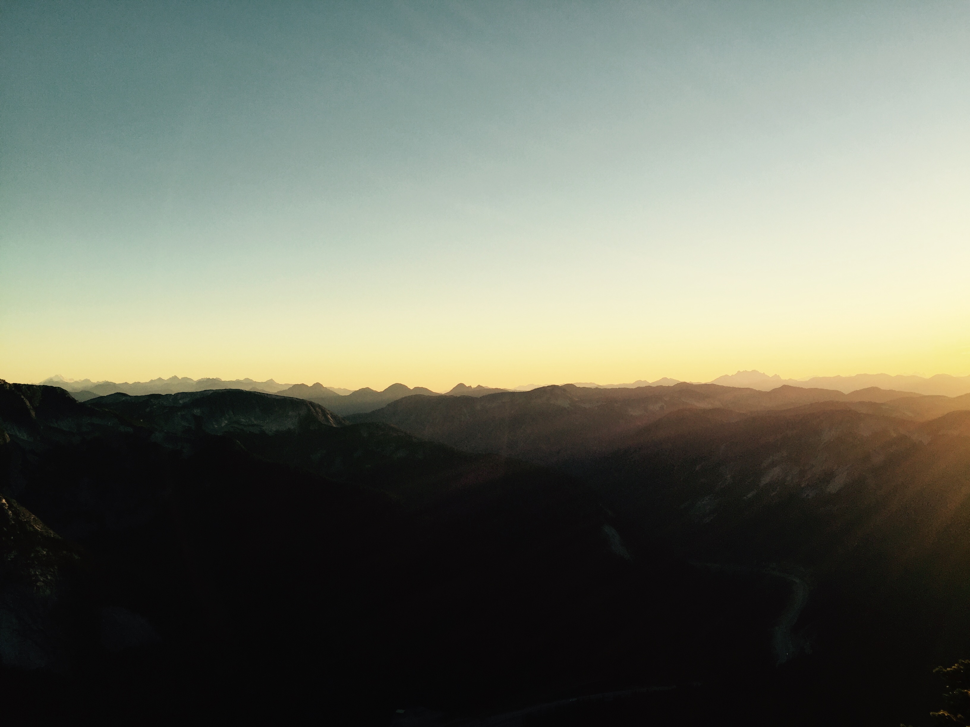
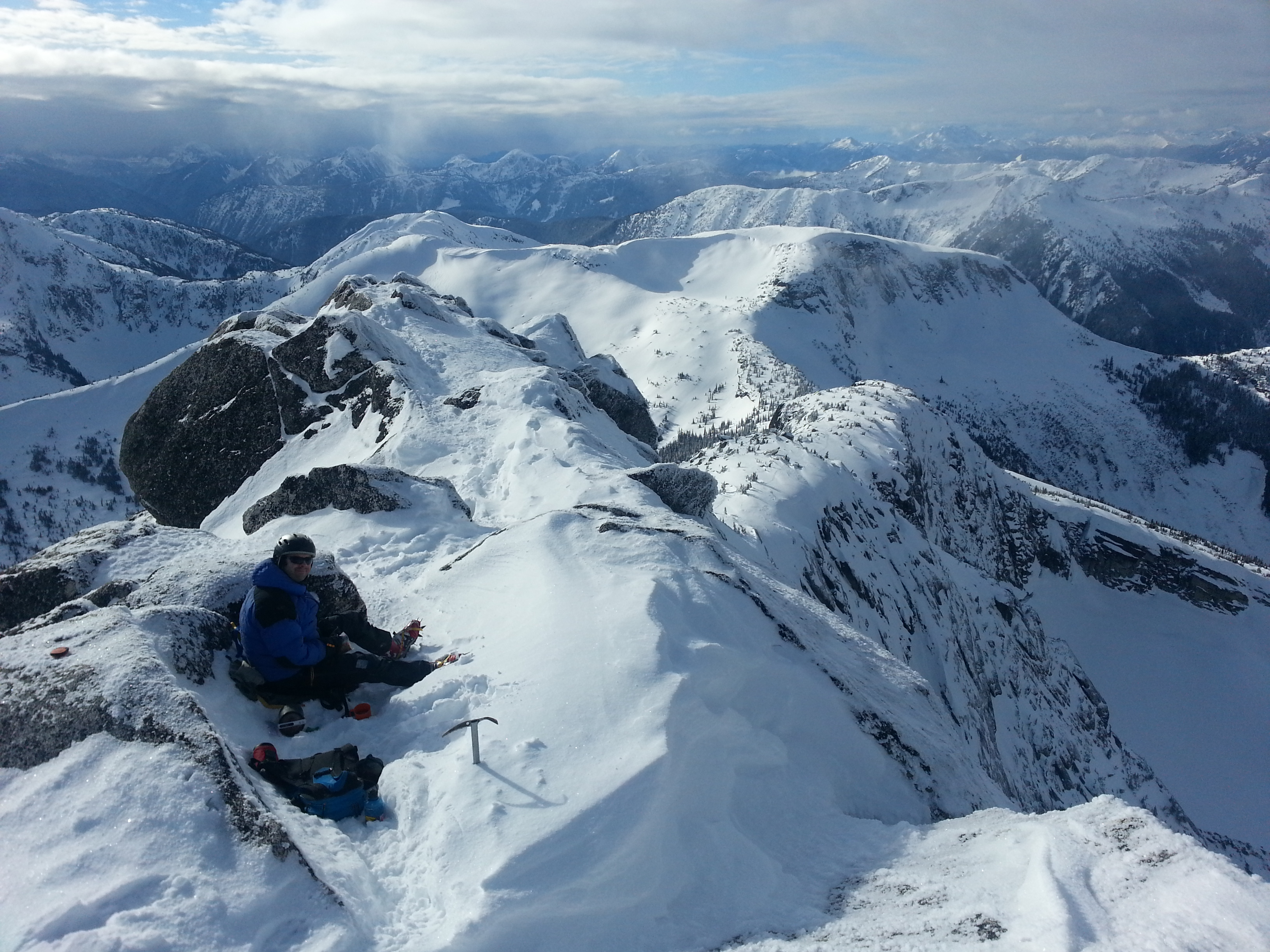
Coquilhalla Range at dusk: my view hanging off side of rock face at 2,000 m.
Topographic Map of Portia Peak, Fraser Valley B, BC V0X, Canada
Find elevation by address:

Places near Portia Peak, Fraser Valley B, BC V0X, Canada:
Needle Peak
Carry Peak
Markhor Peak
Zopkios Peak
Coquihalla Summit Recreation Area
Nak Peak
Coquihalla Mountain
Illal Mountain
Zoa Peak
Zum Peak
Alpaca Peak
Guanaco Peak Trail
Jim Kelly Peak
Coquihalla Pass
Guanaco Peak
Mount Snider
Mount Sutter
Siwash Creek Road
Romeo Peak
Bedpost Peak
Recent Searches:
- Elevation of Corso Fratelli Cairoli, 35, Macerata MC, Italy
- Elevation of Tallevast Rd, Sarasota, FL, USA
- Elevation of 4th St E, Sonoma, CA, USA
- Elevation of Black Hollow Rd, Pennsdale, PA, USA
- Elevation of Oakland Ave, Williamsport, PA, USA
- Elevation of Pedrógão Grande, Portugal
- Elevation of Klee Dr, Martinsburg, WV, USA
- Elevation of Via Roma, Pieranica CR, Italy
- Elevation of Tavkvetili Mountain, Georgia
- Elevation of Hartfords Bluff Cir, Mt Pleasant, SC, USA