Elevation of Port Washington, WI, USA
Location: United States > Wisconsin > Ozaukee County >
Longitude: -87.875644
Latitude: 43.3872247
Elevation: 187m / 614feet
Barometric Pressure: 99KPa
Elevation Map:
Satellite Map:
Related Photos:

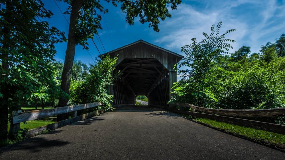
Covered Bridge Long Exposure
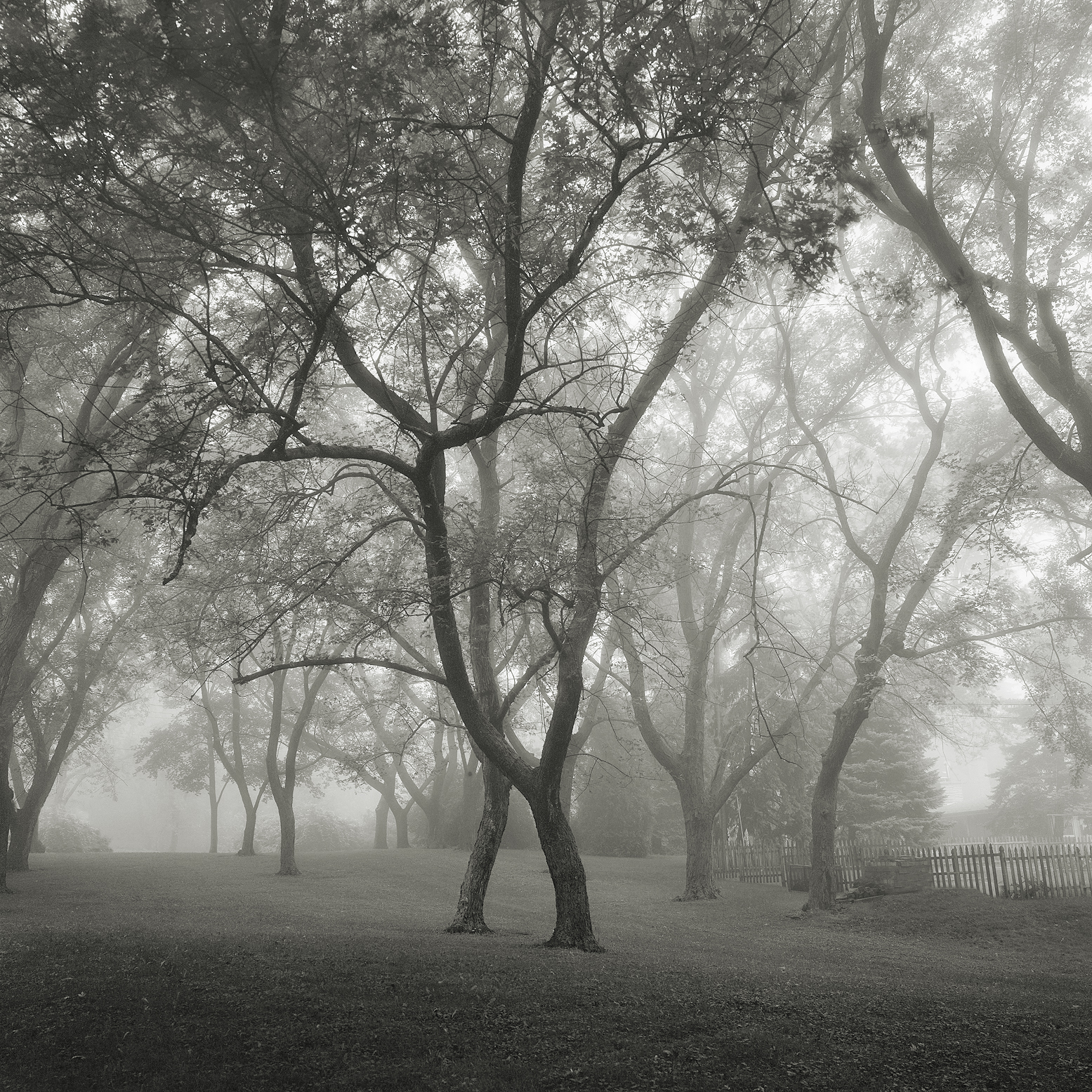
Foggy Park

specific gravity

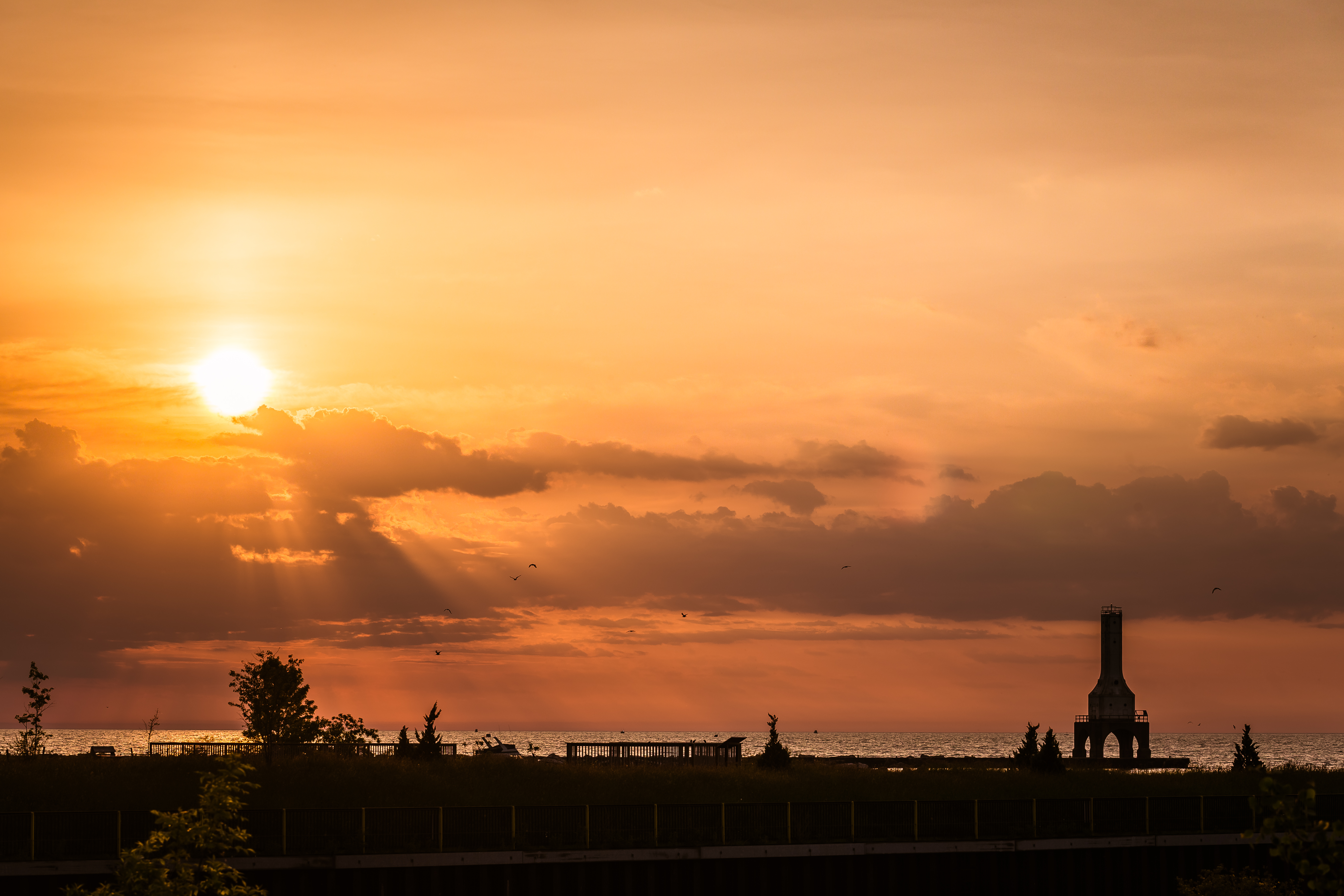
Sunrise in Port

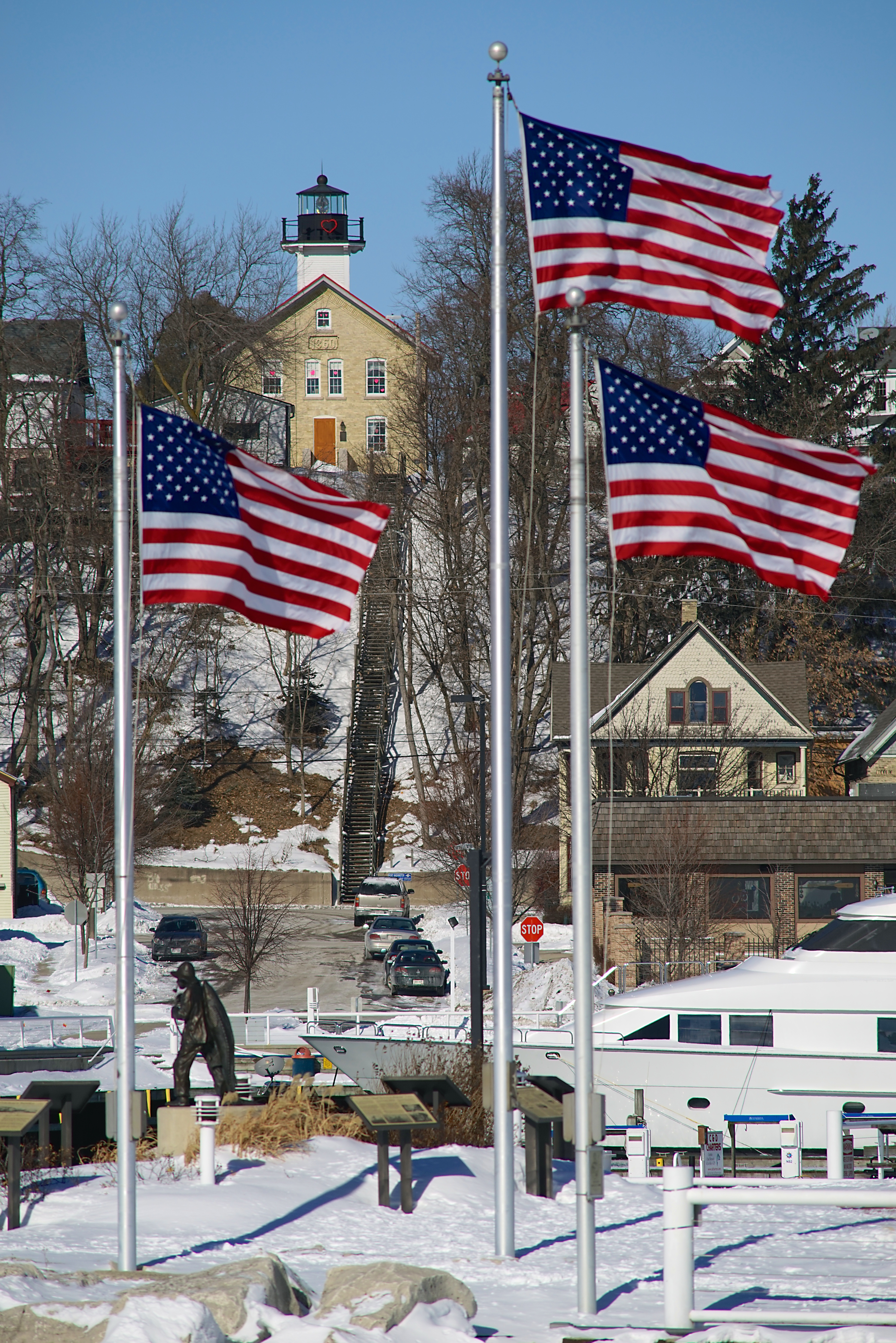
Port Washington Pierhead Light
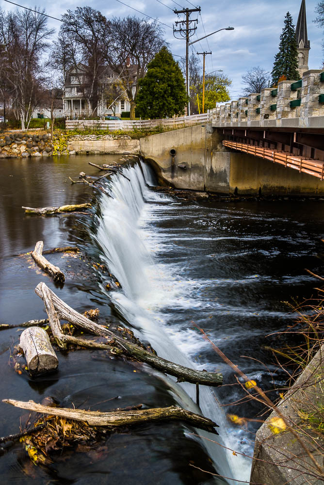
Through the Old Bridge

Rose-Breasted Grosbeak
Port Washington

The Rest Is Gravey

View of Lake Michigan from Concordia U.

Polyphemus Moth - Ventral View

viewing the bluff

early bloom...
1860 Light Station
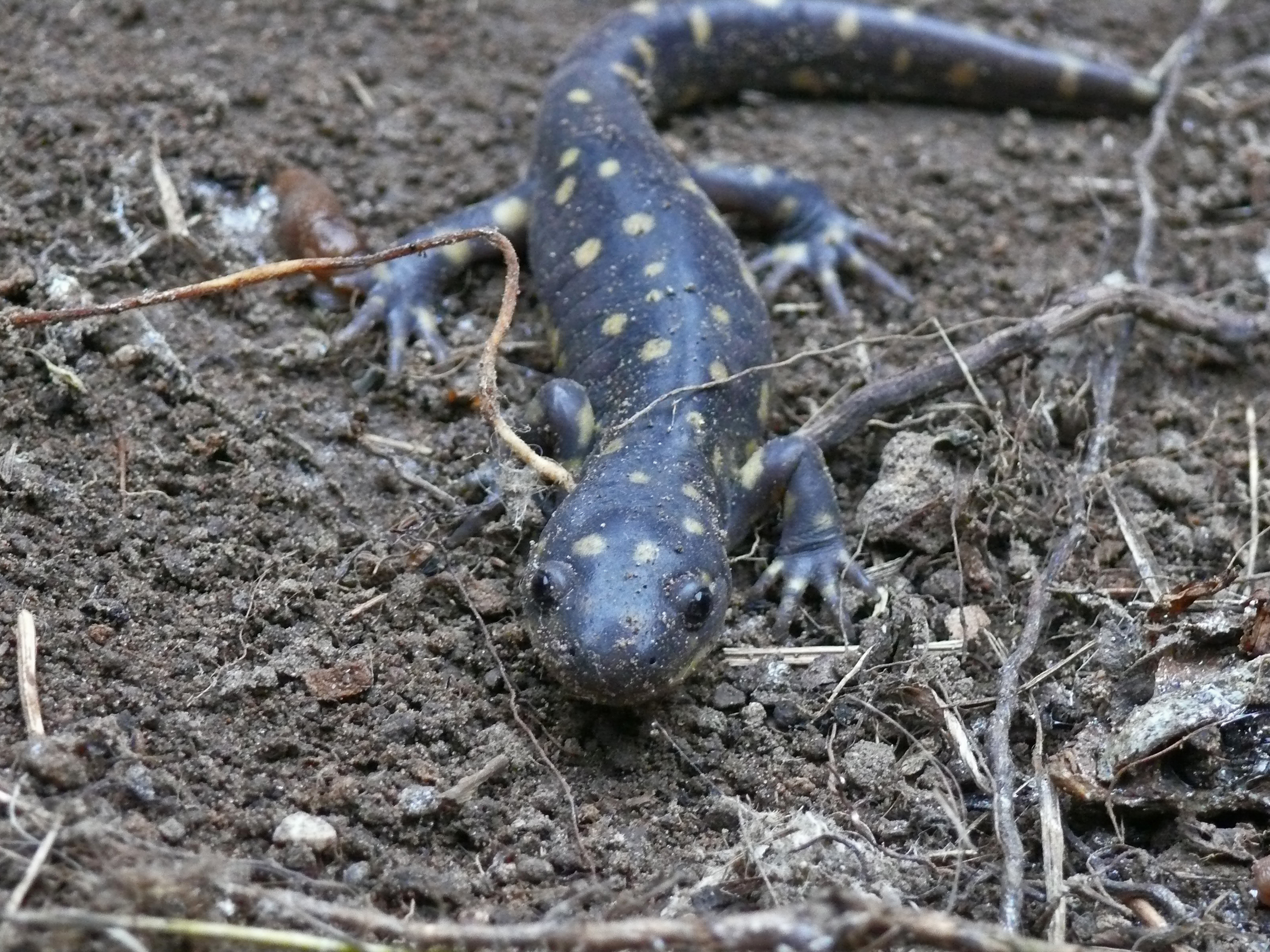
Eastern Tiger Salamander
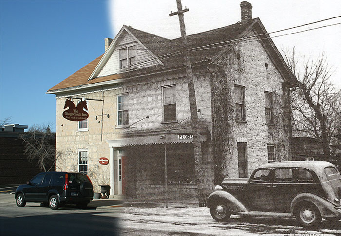
Nero's Saloon, and Florist/Stagecoach Inn
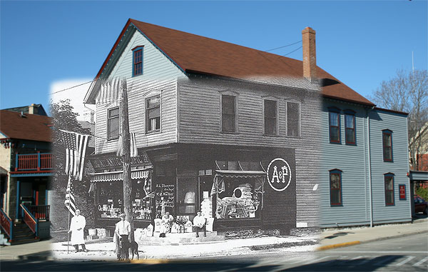
The Great Atlantic and Pacific Tea Co.
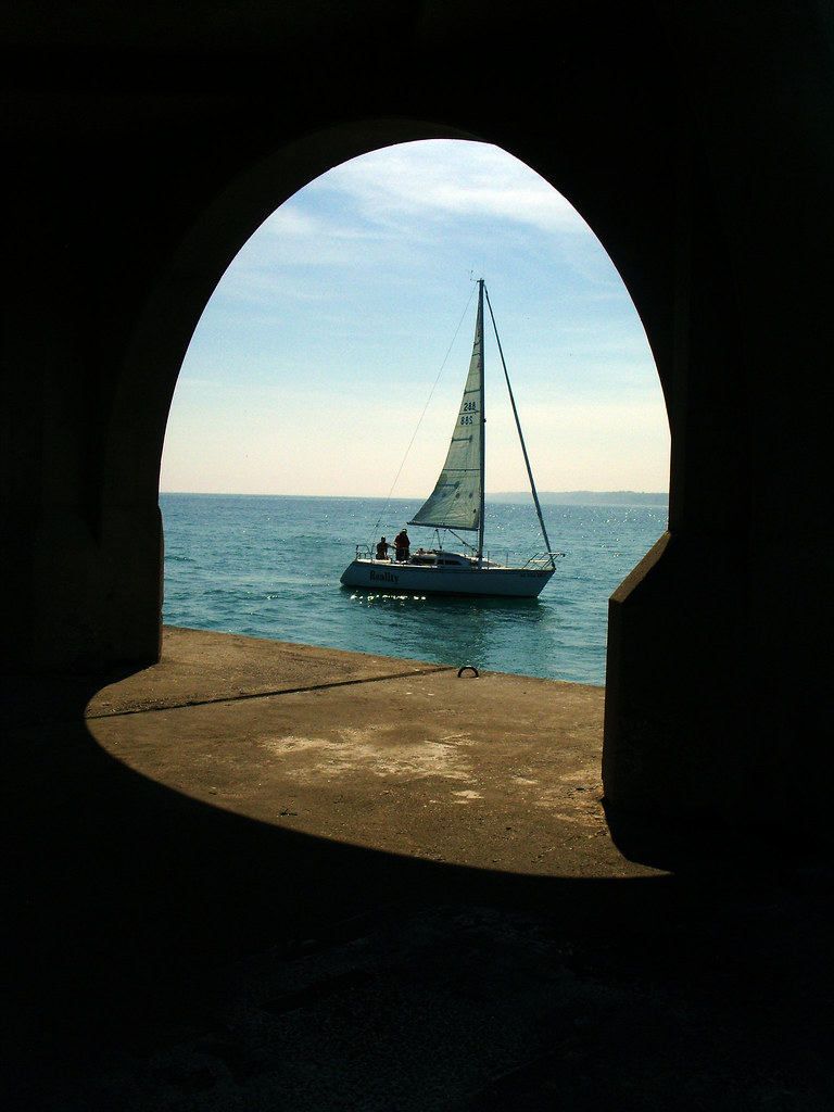
Sail Boat - Lake Michigan - Port Washington

Living Tree Of The Dead People
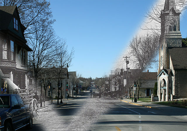
Washington Avenue, then & now
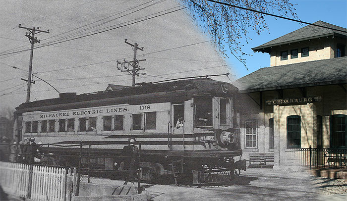
Interurban Station, then and now
On a Nicer Day....
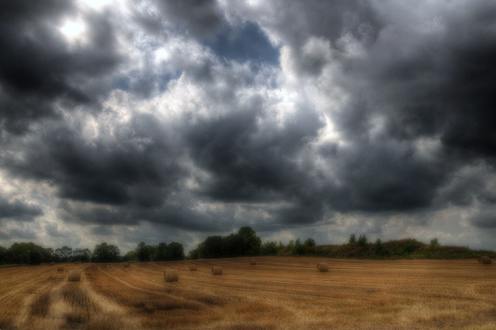
Wisconsin Hay Harvest Prior to Rain

Waiting on the Strawberry Moon

when some things turn out right
Bent Over Backwards From Your Insistence
119 Reservoir
August, Lake Michigan
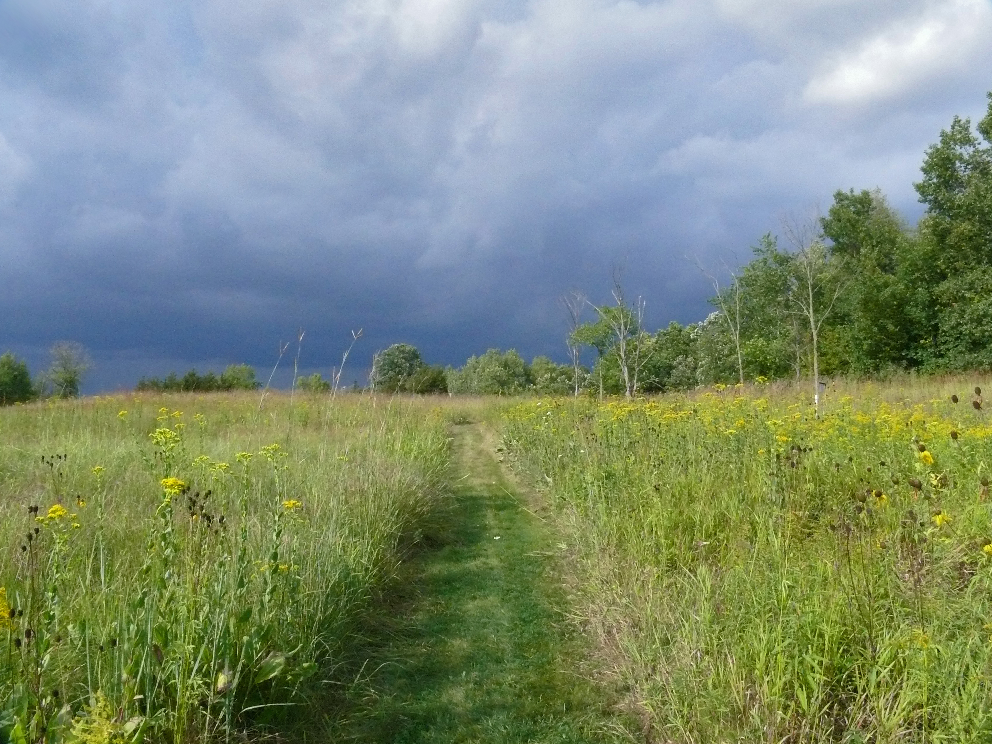
Choose Your Own Path

Round The Bend
Cedar Creek Dam

Sauk Creek
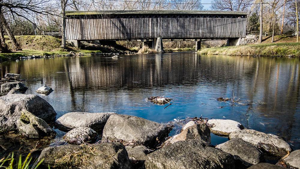
Cedarburg Covered Bridge

Getting close

early morning

Deer!
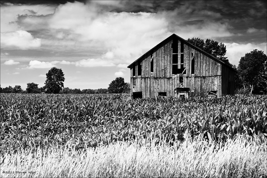
Old Barn, Wisconsin, 2011
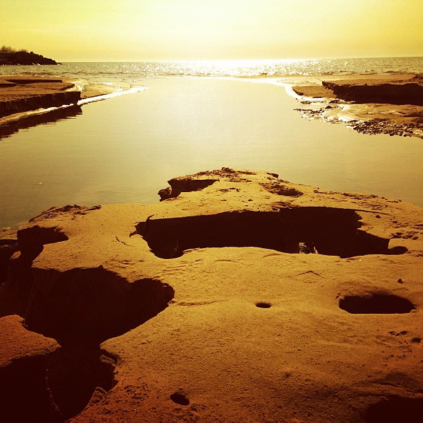
South beach just after dawn.
Time To Head Home
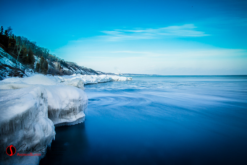
Moving Ice

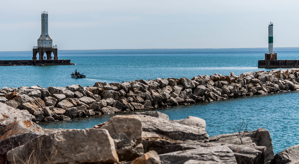
Harbor Entrance
Topographic Map of Port Washington, WI, USA
Find elevation by address:

Places in Port Washington, WI, USA:
Places near Port Washington, WI, USA:
W Grand Ave, Port Washington, WI, USA
325 S Division St
415 Lake St
1539 N Lakeview Ave
1629 N Wisconsin St
3677 E Norport Dr
Port Washington
Ozaukee County
1309 Trail Way Dr
Saukville
E Dekora St, Saukville, WI, USA
Grafton
Ulao Rd, Grafton, WI, USA
Ulao
565 Majesa Hills Ln
Trillium Road
2123 Edgewood Dr
Co Rd A, Belgium, WI, USA
1528 N Green Bay Rd
Grafton
Recent Searches:
- Elevation of 72-31 Metropolitan Ave, Middle Village, NY, USA
- Elevation of 76 Metropolitan Ave, Brooklyn, NY, USA
- Elevation of Alisal Rd, Solvang, CA, USA
- Elevation of Vista Blvd, Sparks, NV, USA
- Elevation of 15th Ave SE, St. Petersburg, FL, USA
- Elevation of Beall Road, Beall Rd, Florida, USA
- Elevation of Leguwa, Nepal
- Elevation of County Rd, Enterprise, AL, USA
- Elevation of Kolchuginsky District, Vladimir Oblast, Russia
- Elevation of Shustino, Vladimir Oblast, Russia