Elevation of Port Washington, OH, USA
Location: United States > Ohio > Tuscarawas County > Salem Township >
Longitude: -81.520673
Latitude: 40.328124
Elevation: 248m / 814feet
Barometric Pressure: 98KPa
Elevation Map:
Satellite Map:
Related Photos:
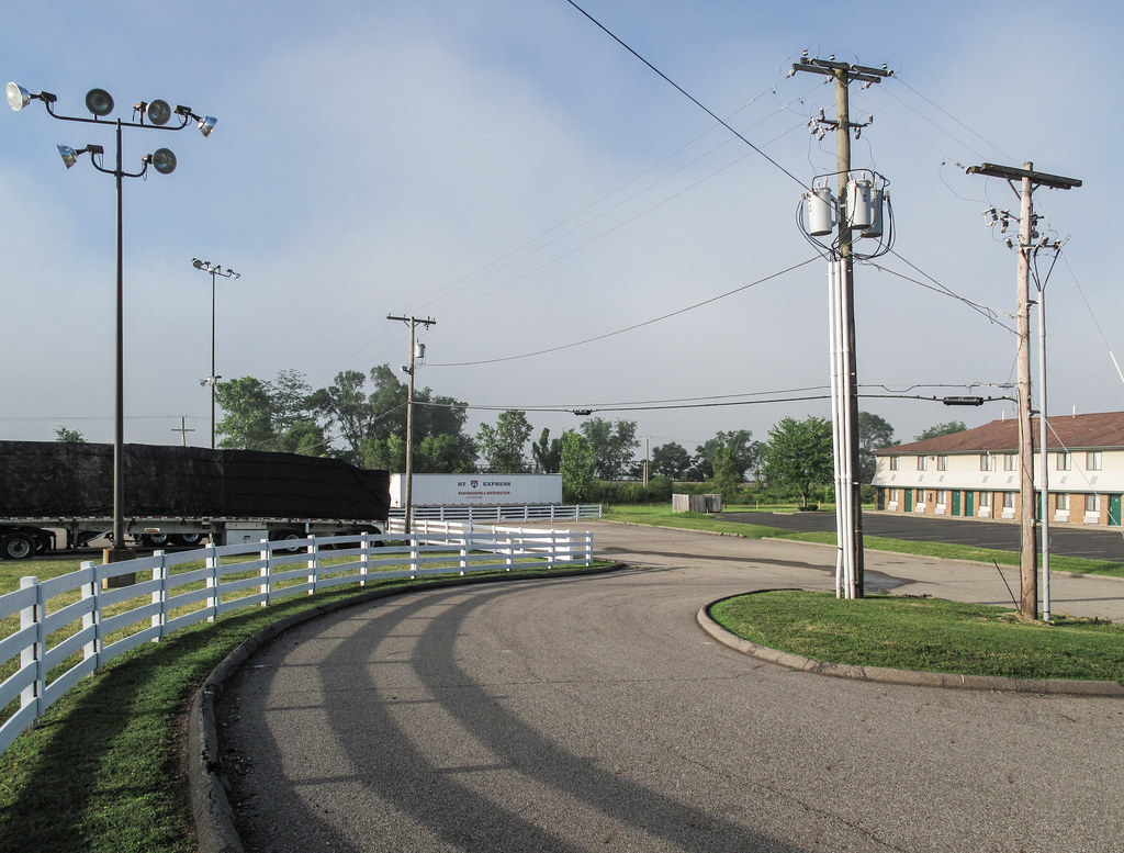
I-77 eastern Ohio truckstop landscaping is maybe trying to get at a "Bluegrass Country" of Kentucky feel.
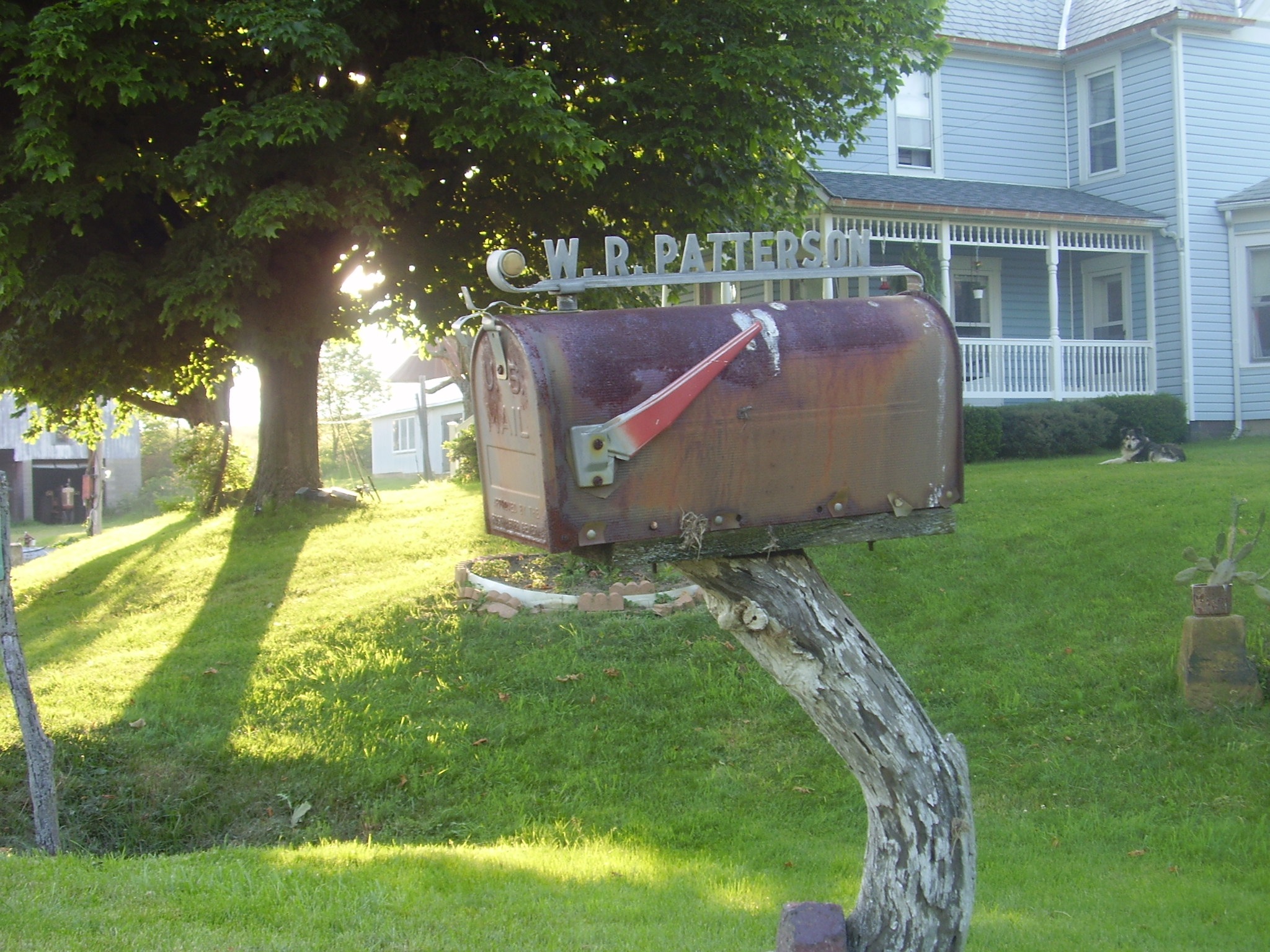
Patterson Pictures
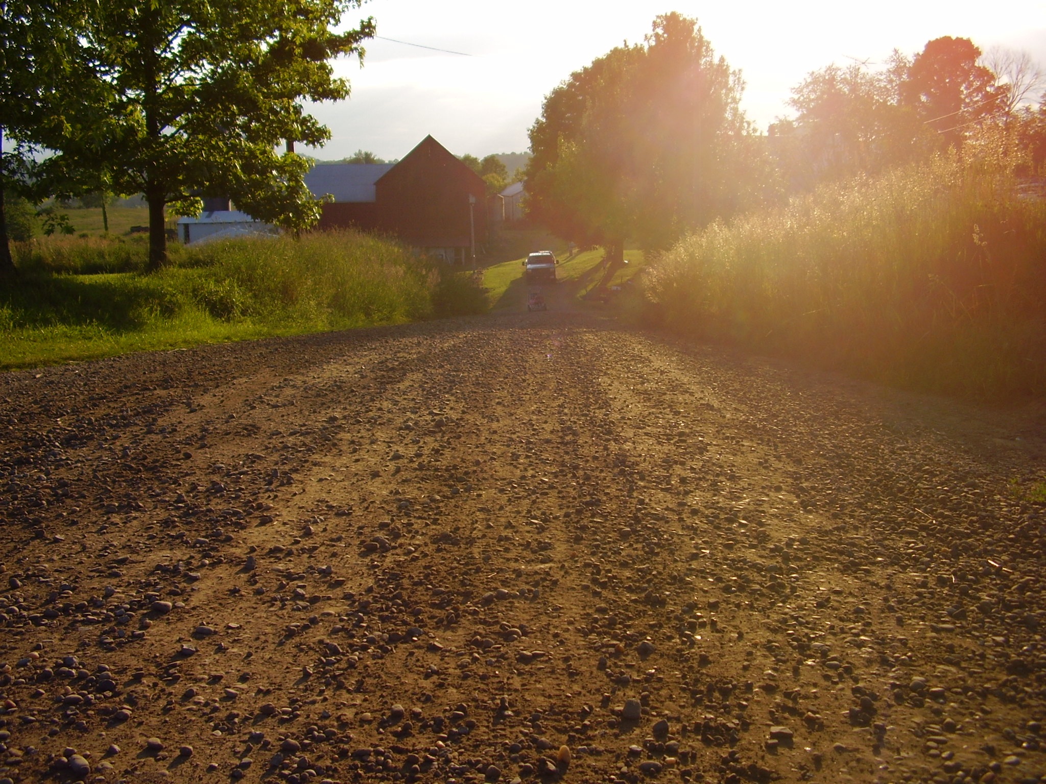
Patterson Pictures
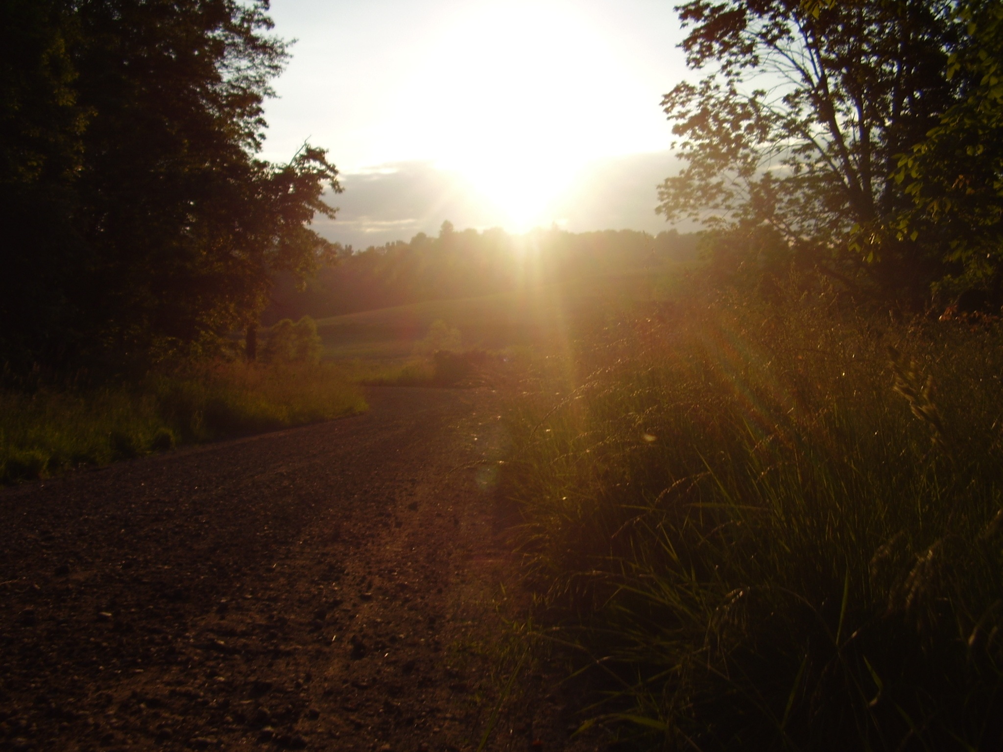
Patterson Pictures

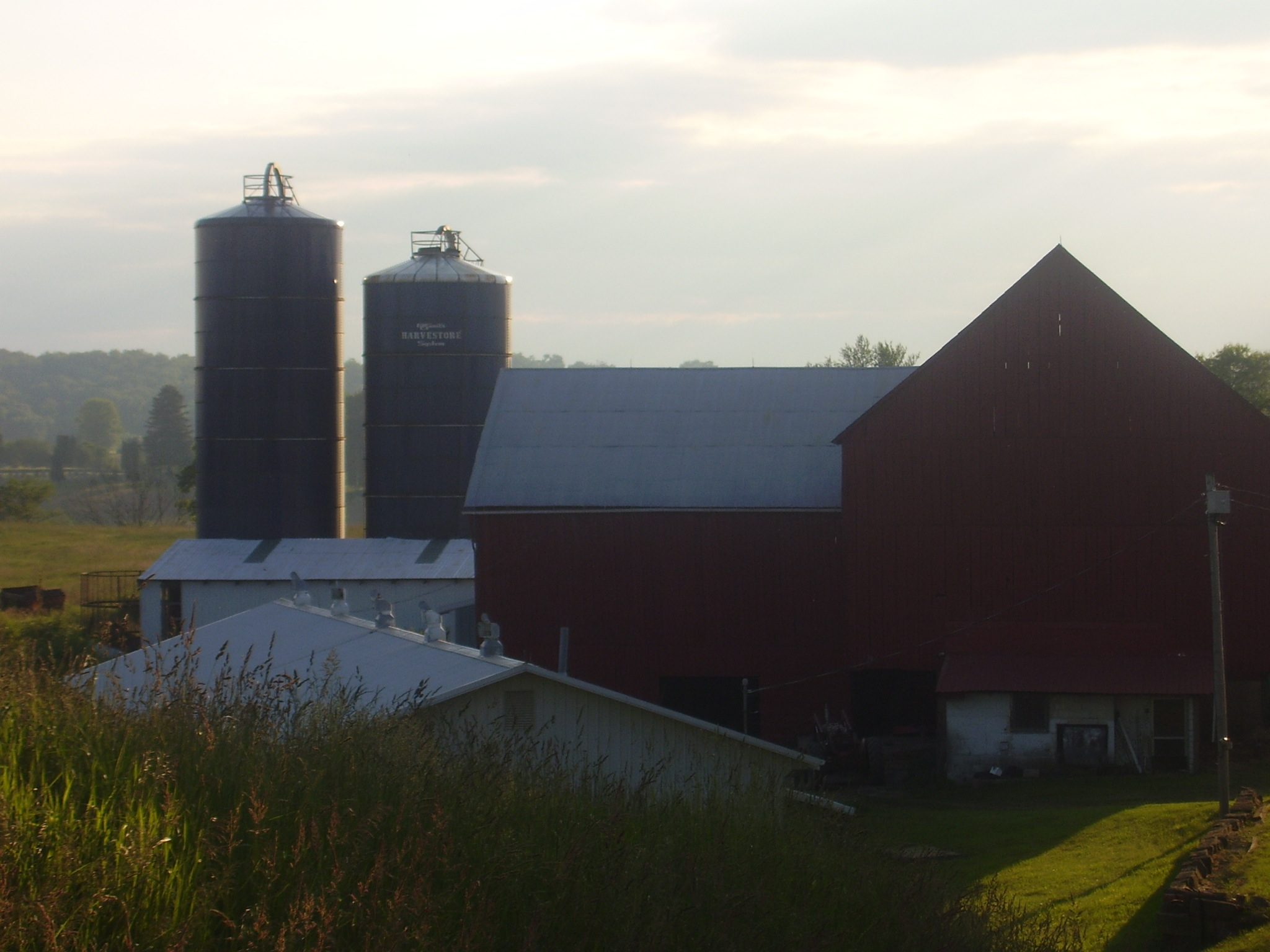
Patterson Pictures

Rainbow hills Winery

Patterson Pictures
Patterson Pictures
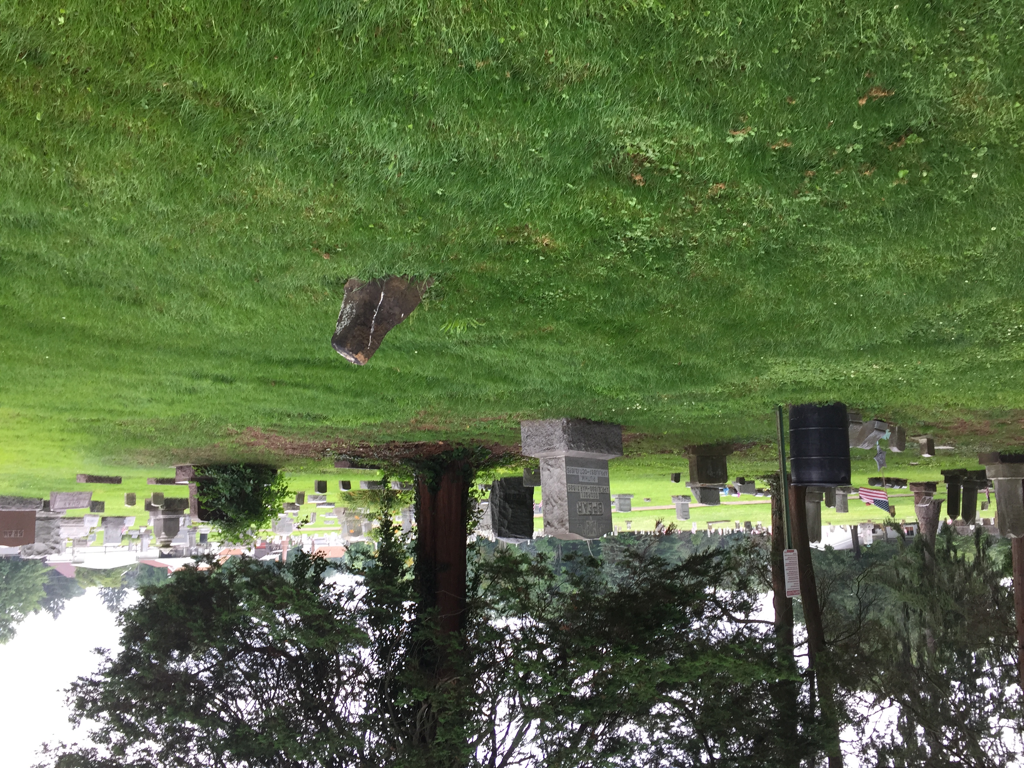
Gnadenhutten OH: Oldest Gravestone in Ohio
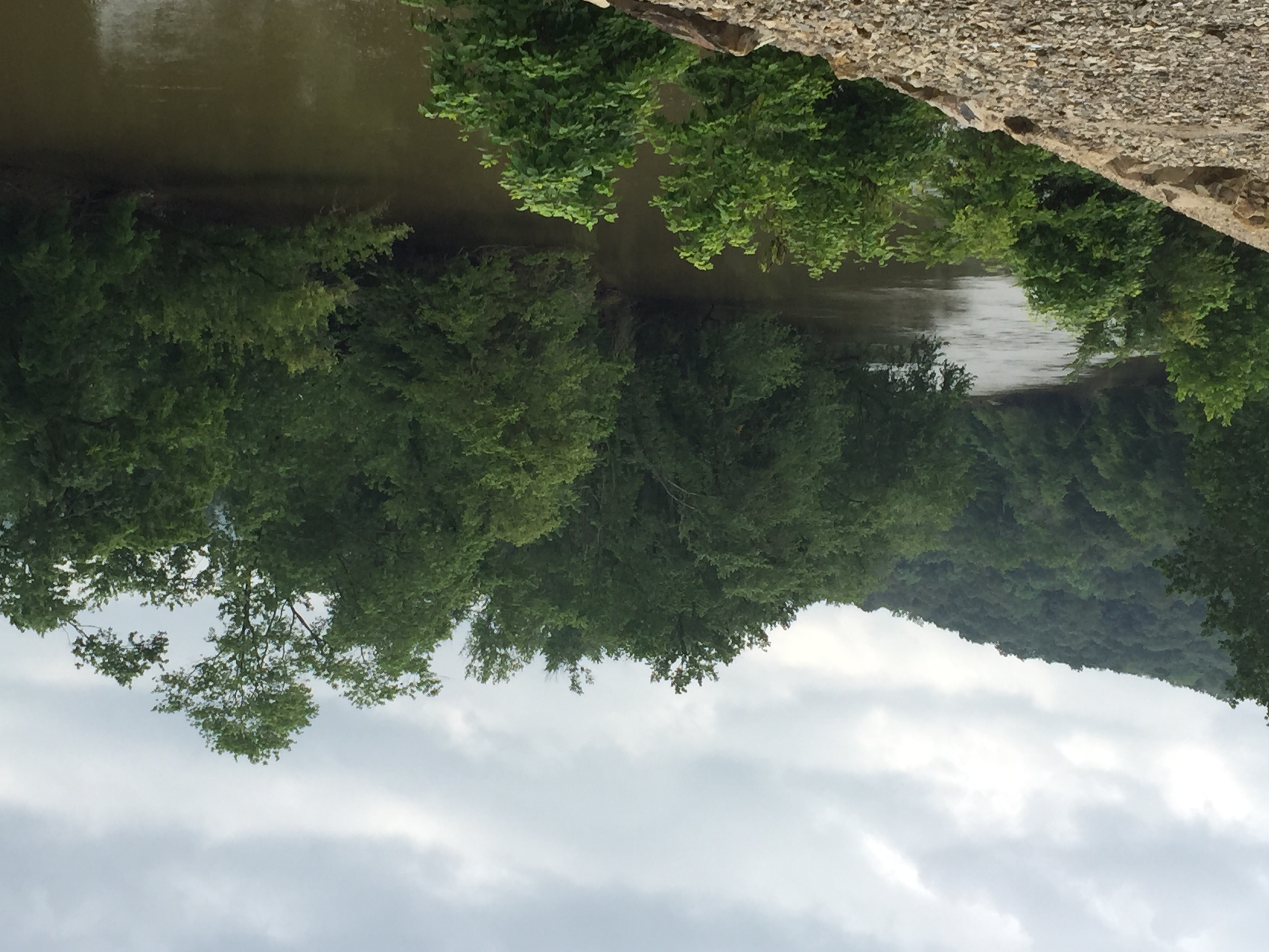
Gnadenhutten OH: Tuscarawas River
Topographic Map of Port Washington, OH, USA
Find elevation by address:

Places in Port Washington, OH, USA:
Places near Port Washington, OH, USA:
E Arch St, Port Washington, OH, USA
Salem Township
Lock 17 Rd SE, Gnadenhutten, OH, USA
Stone Creek
Gnadenhutten
Stone Creek Rd SW, Stone Creek, OH, USA
3818 Anderson Hill Rd
Tuscarawas County
Warwick Township
S Main St, Dennison, OH, USA
Tuscarawas
Rush Township
Rush Church Rd SE, Uhrichsville, OH, USA
800 N 4th St
Mill Township
Dennison
OH-, Uhrichsville, OH, USA
Monroe Township
Franklin Township
Recent Searches:
- Elevation of Corso Fratelli Cairoli, 35, Macerata MC, Italy
- Elevation of Tallevast Rd, Sarasota, FL, USA
- Elevation of 4th St E, Sonoma, CA, USA
- Elevation of Black Hollow Rd, Pennsdale, PA, USA
- Elevation of Oakland Ave, Williamsport, PA, USA
- Elevation of Pedrógão Grande, Portugal
- Elevation of Klee Dr, Martinsburg, WV, USA
- Elevation of Via Roma, Pieranica CR, Italy
- Elevation of Tavkvetili Mountain, Georgia
- Elevation of Hartfords Bluff Cir, Mt Pleasant, SC, USA