Elevation of Port Chicago Hwy, Concord, CA, USA
Location: United States > California > Contra Costa County > Concord >
Longitude: -121.98040
Latitude: 38.04212
Elevation: 8m / 26feet
Barometric Pressure: 101KPa
Elevation Map:
Satellite Map:
Related Photos:

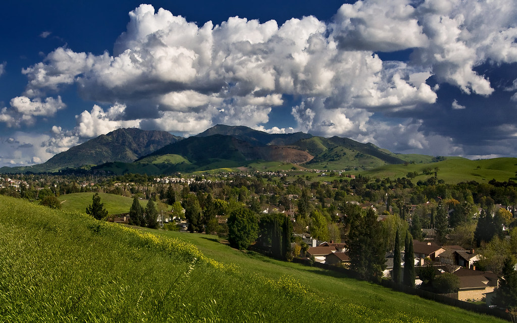
Mt. Diablo Sunset

The Art Of A Dragonfly

Aerial view of Mount Diablo in Fog over Northern California
Awesome view.

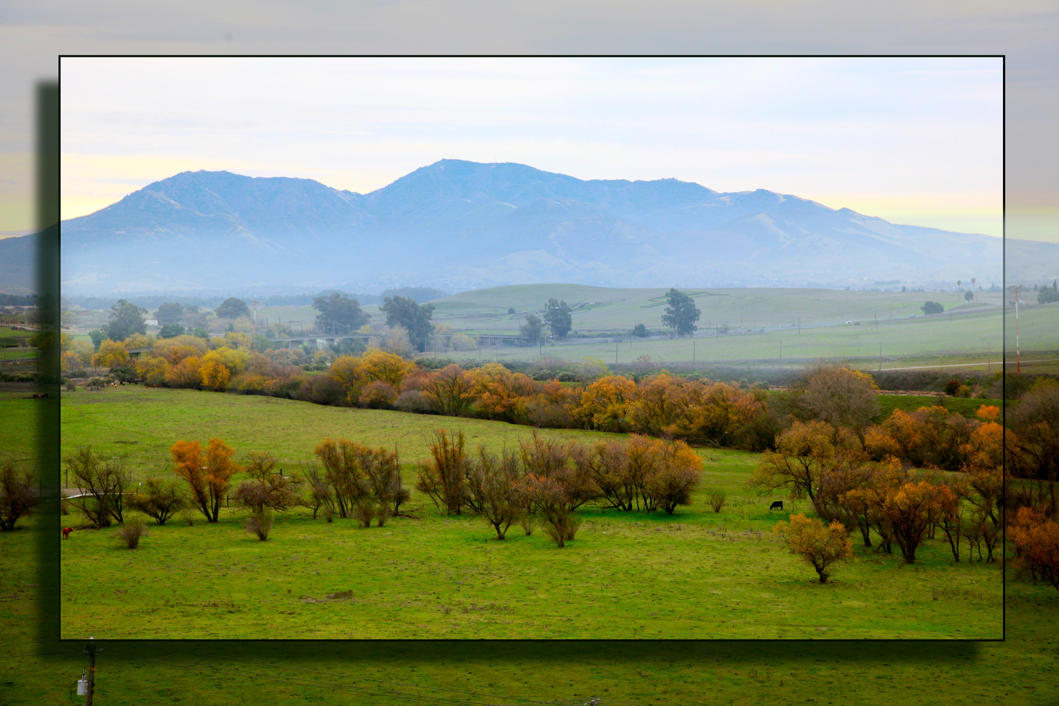
Diablo Valley View #1 - Pleasant Hill, California

On Solar Wings - 2012 Eclipse

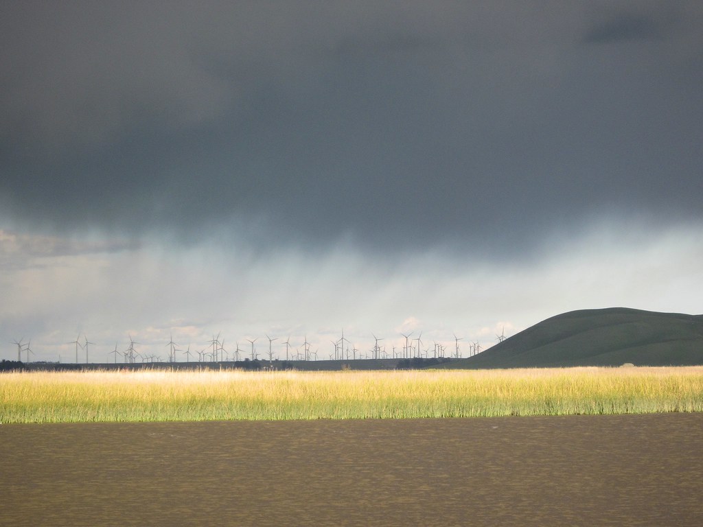
Sunset at the Wind Farm
Muddy waters

contra loma wide view before sunrise

Dinosaur Hill Park II

Mitchell Canyon Visitor Center, Mount Diablo State Park
View from the park

Flag-waver (bottom of photo!) below IOWA's 16-inch guns
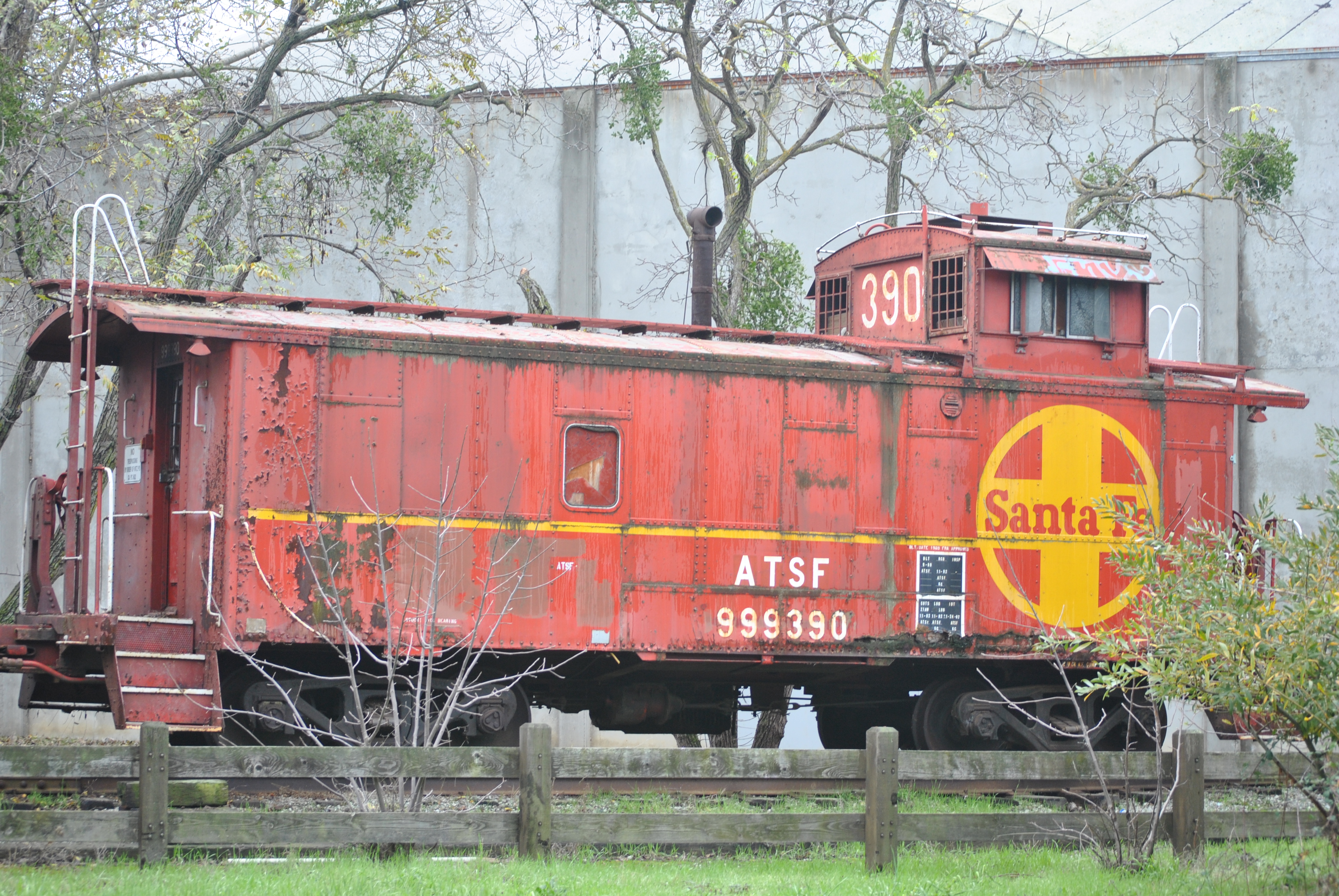
ATSF 999390 Caboose - Martinez Amtrak Station, Martinez CA

Snows of Diablo - Pleasant Hill, California
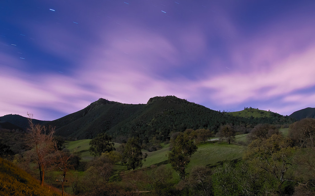
Diablo by Night
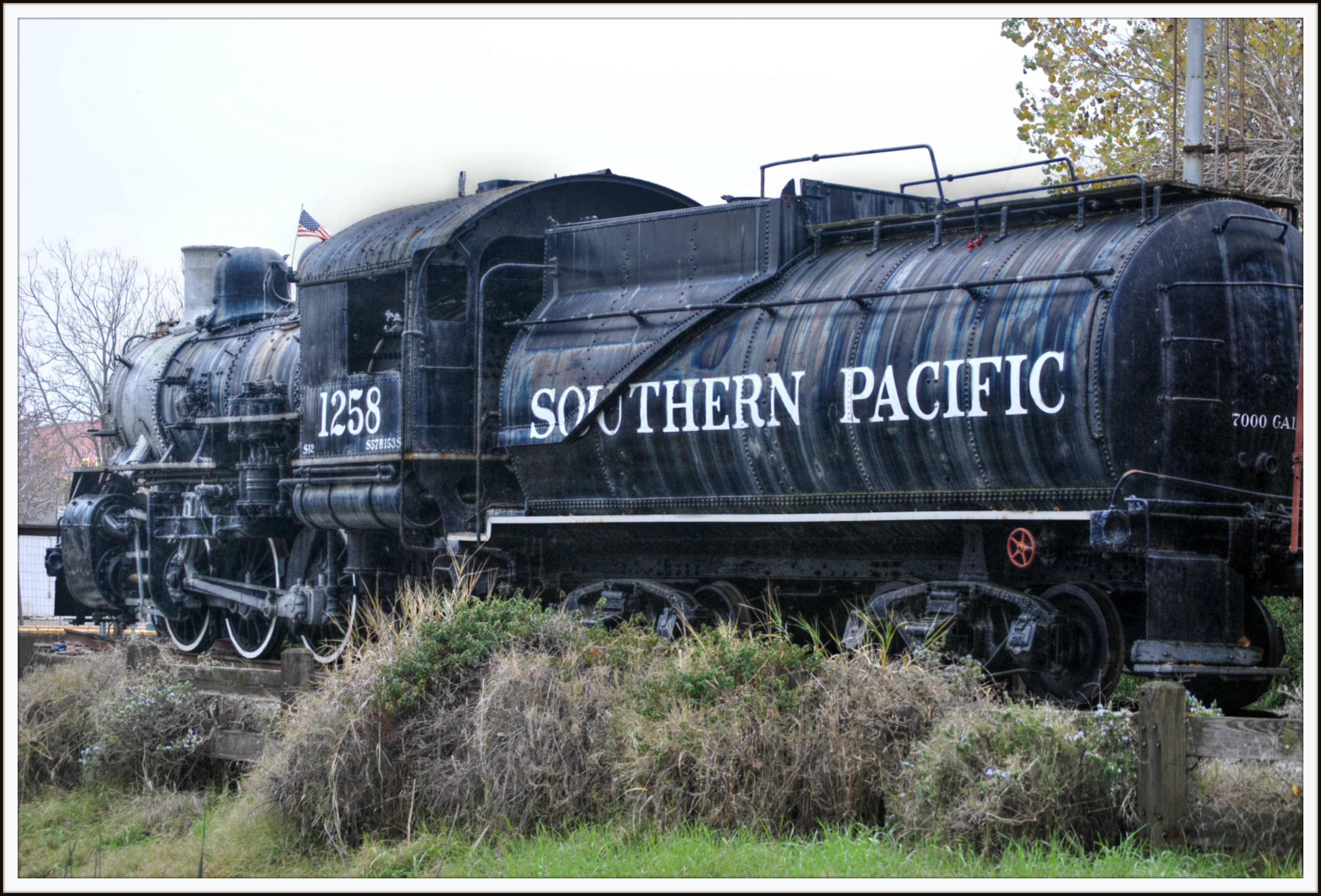
SP 1258 on display at Martinez

Bathroom Break/Broke
Concord California
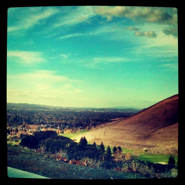
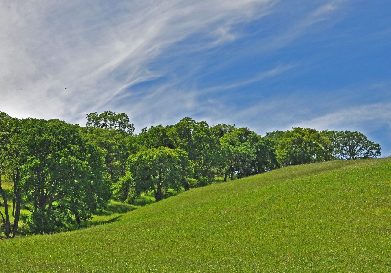
Mt. Diablo
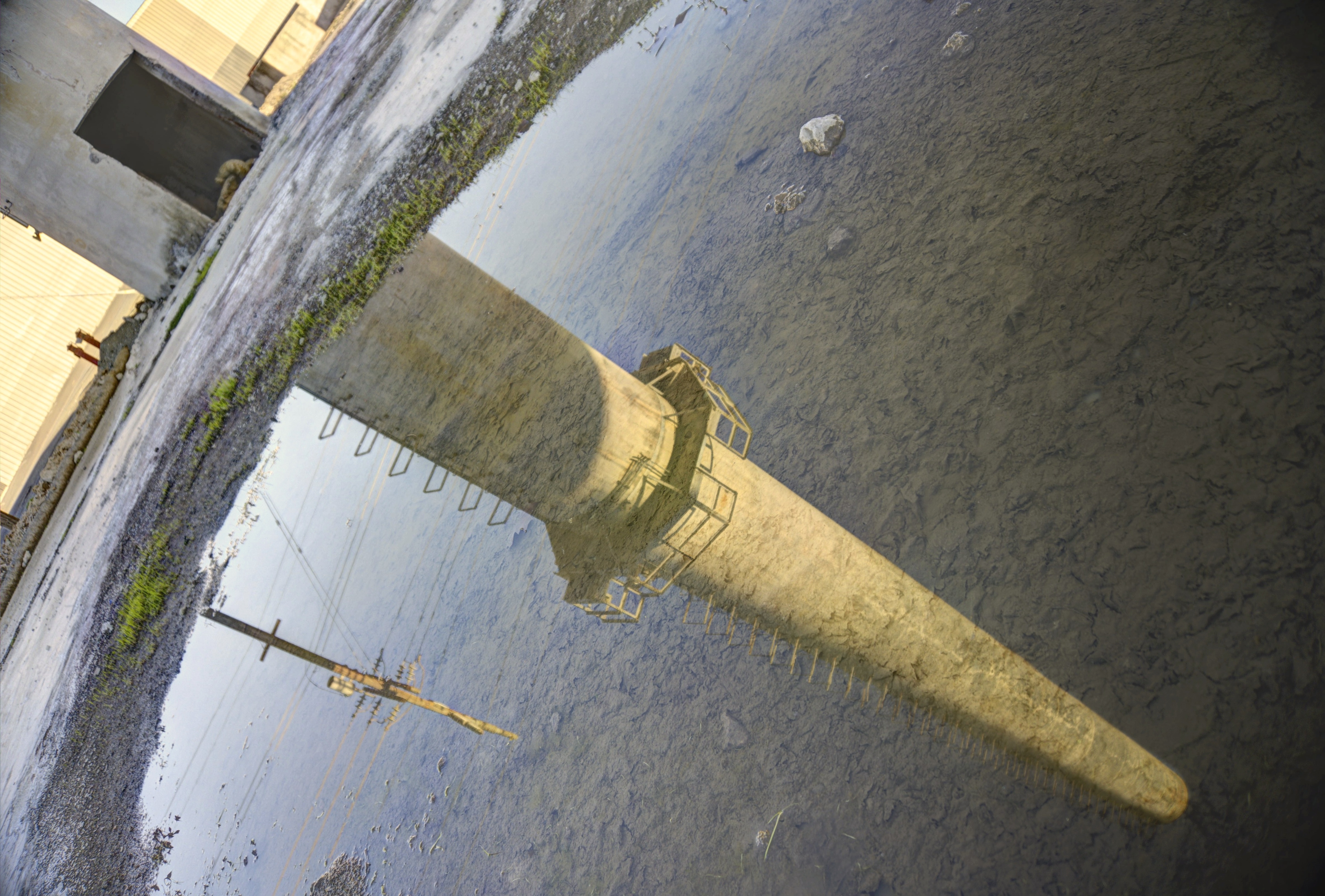
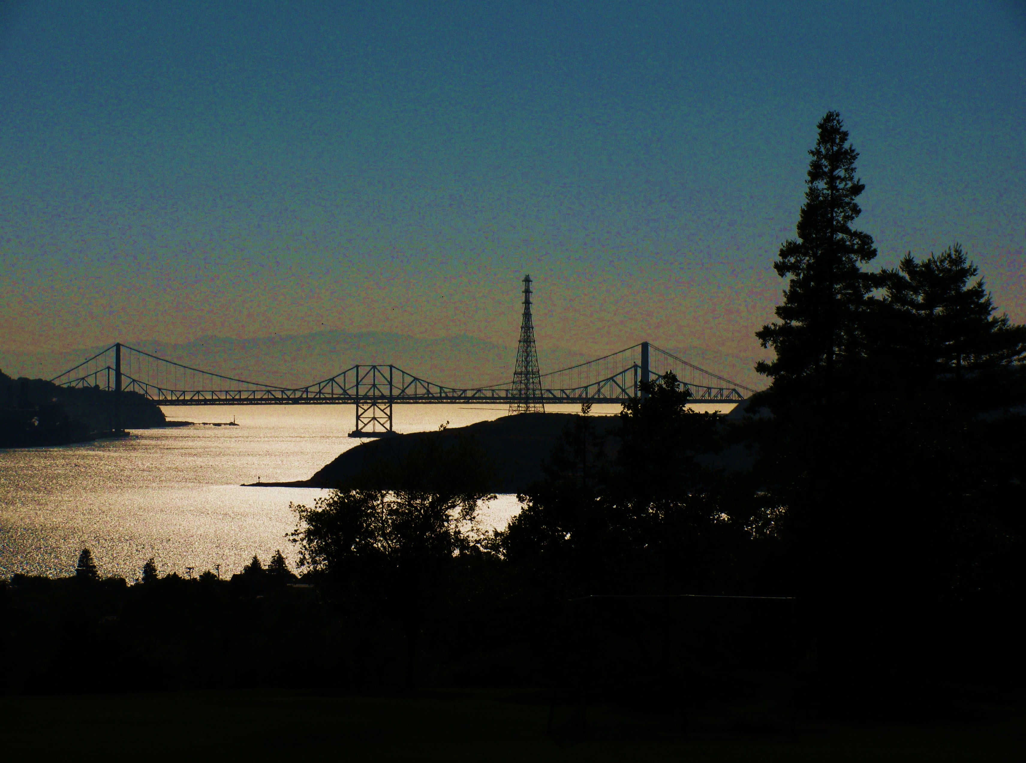
Benicia Rail Span

winter reflection

clouds and fog at sunrise-contra loma
Clouds Parting

Up the Nortonville trail
#igersphx #instaaz #gmy #igdaily #instagood #instagramhub #picofday #instahub #ig_daily #igers #ignation #popular #photooftheday #iphoneography #bestoftoday #followme #igaddict #iphone4s #instamood

Sunset 06.03.2012 c/o #Hipstamatic

cloud movement at sunrise
black diamond moonset

Three Birds
Spring on the mountain
Grizzly Island Slough
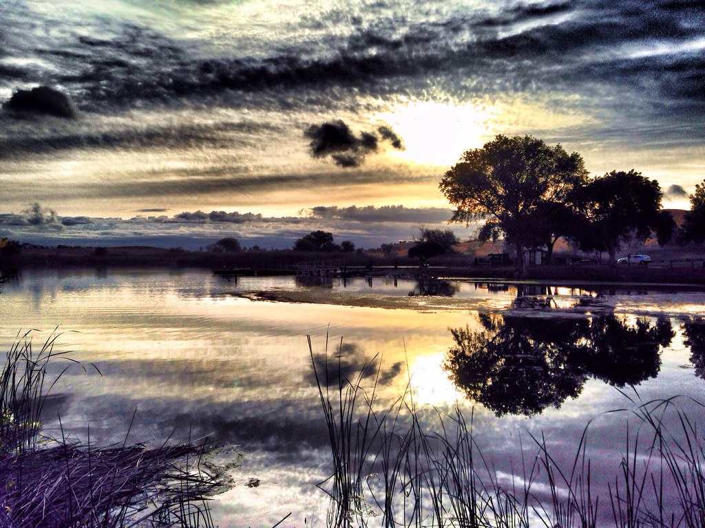
Sunrise at Contra Loma

Hiking in Contra Loma Regional Park
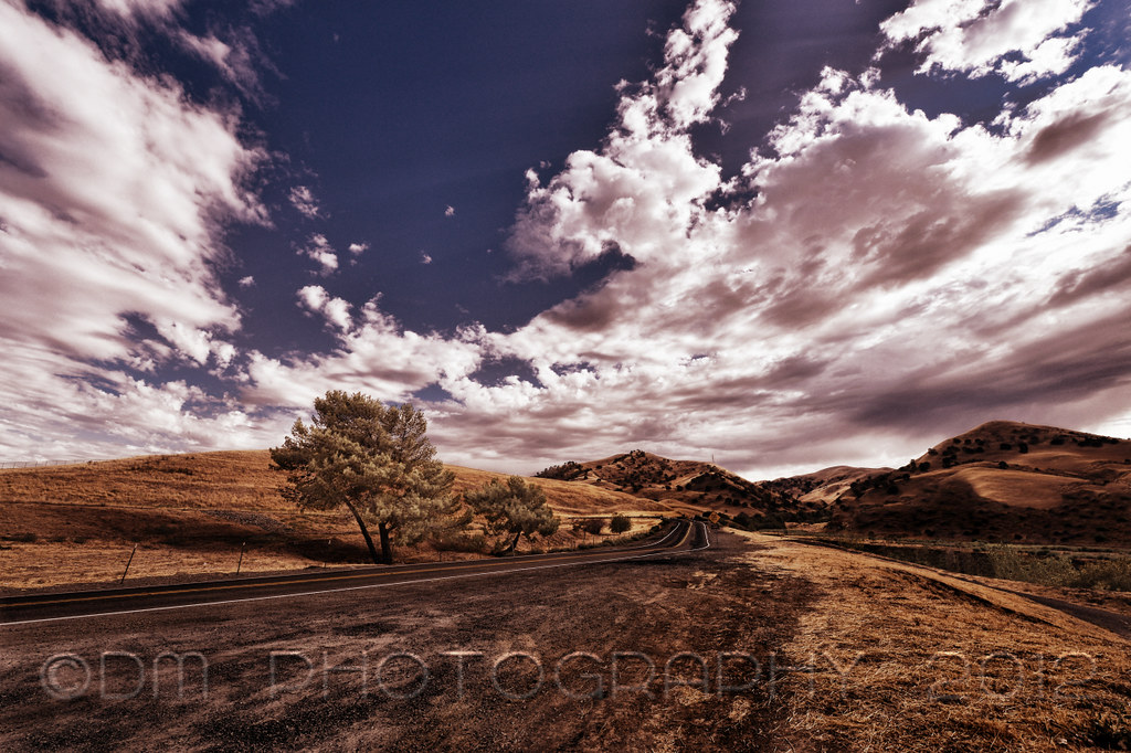
Road to Black Diamond

Mt Wanda Sky
Topographic Map of Port Chicago Hwy, Concord, CA, USA
Find elevation by address:

Places near Port Chicago Hwy, Concord, CA, USA:
Inlet Dr & Marina Rd
443 Azores Cir
Bay Point
3633 Desanie Cir
201-211
2983 Rancho Bernado Dr
Grizzly Island Rd, Suisun City, CA, USA
Woodhill Drive
1980 Calaveras Dr
272 Havenwood Cir
Willow Pass Rd, Bay Point, CA, USA
179 Oakpoint Ct
308 Snow Flake Way
1087 Lislin Ct
Pittsburg, CA, USA
4281 Orangewood Ct
4298 Brentwood Cir
1813 Polk St
1818 Polk St
Van Sickle Rd, Suisun City, CA, USA
Recent Searches:
- Elevation of W Granada St, Tampa, FL, USA
- Elevation of Pykes Down, Ivybridge PL21 0BY, UK
- Elevation of Jalan Senandin, Lutong, Miri, Sarawak, Malaysia
- Elevation of Bilohirs'k
- Elevation of 30 Oak Lawn Dr, Barkhamsted, CT, USA
- Elevation of Luther Road, Luther Rd, Auburn, CA, USA
- Elevation of Unnamed Road, Respublika Severnaya Osetiya — Alaniya, Russia
- Elevation of Verkhny Fiagdon, North Ossetia–Alania Republic, Russia
- Elevation of F. Viola Hiway, San Rafael, Bulacan, Philippines
- Elevation of Herbage Dr, Gulfport, MS, USA