Elevation of Port Barre, LA, USA
Location: United States > Louisiana > St. Landry Parish > >
Longitude: -91.954005
Latitude: 30.5601953
Elevation: 7m / 23feet
Barometric Pressure: 101KPa
Elevation Map:
Satellite Map:
Related Photos:

Antique Auto Rainbow

Red, White and Bruise

Split Window View
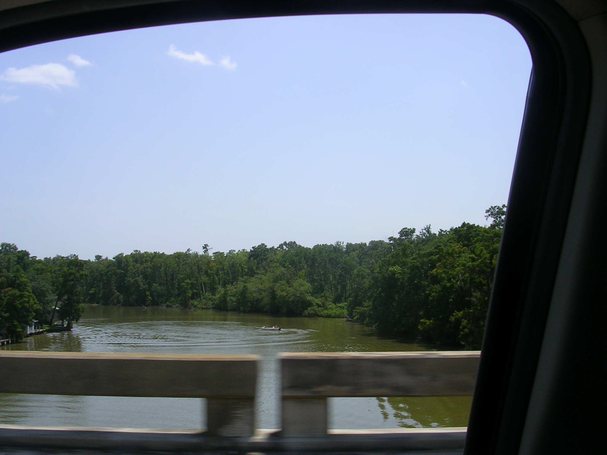
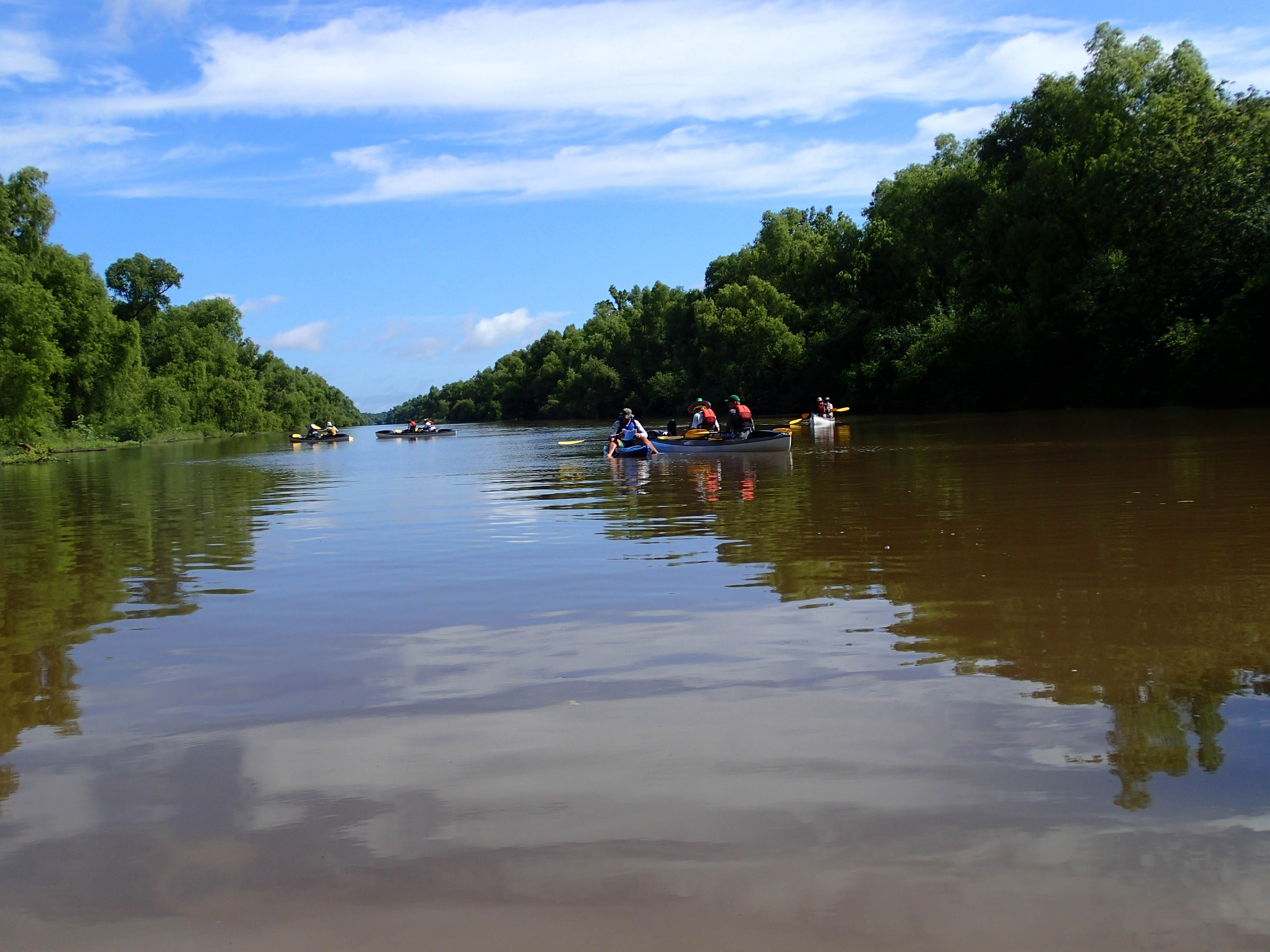
A creek
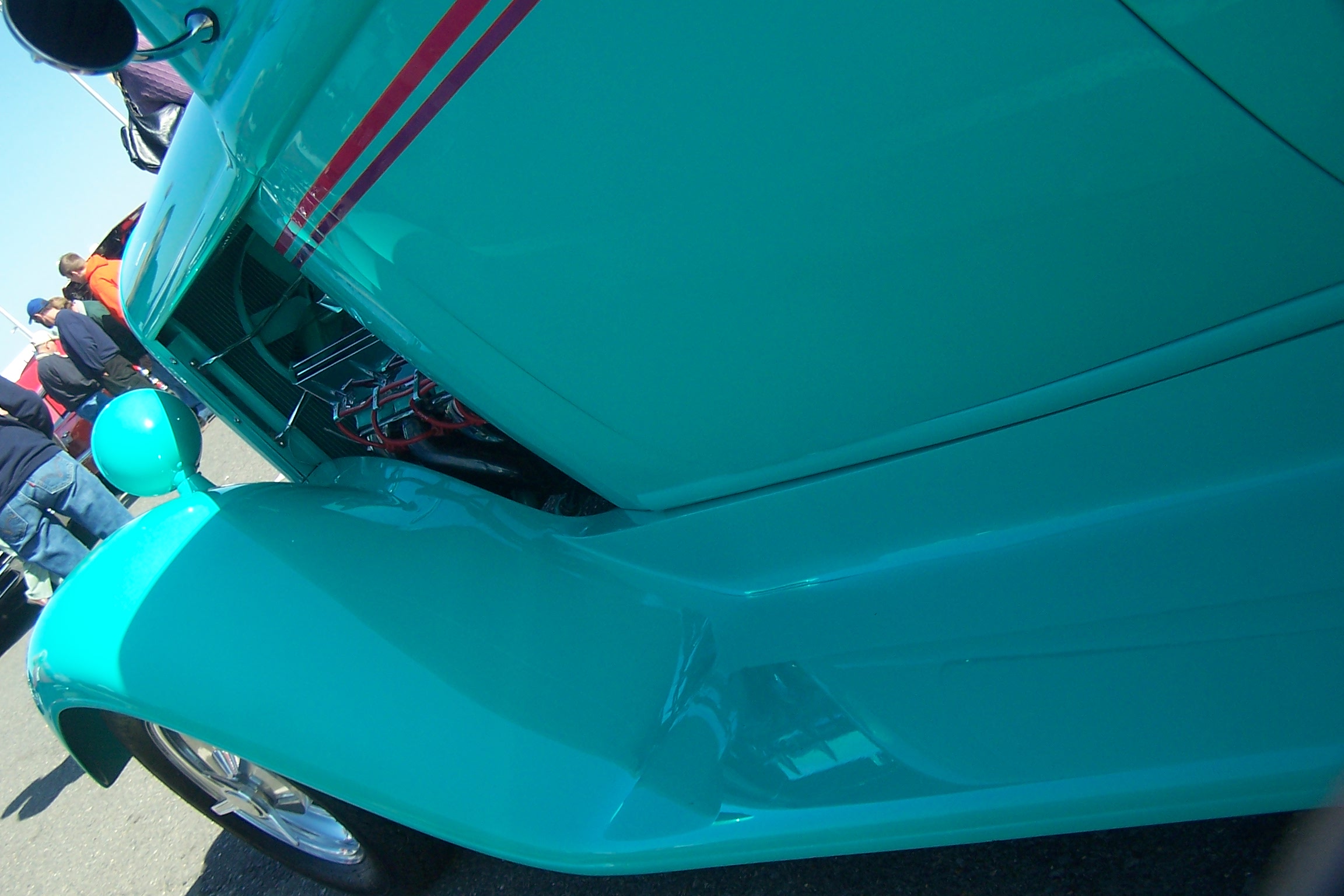
Fender View
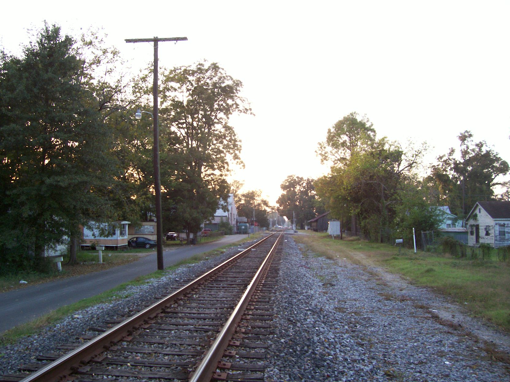
Looking westward

Crushed! (a closer view)
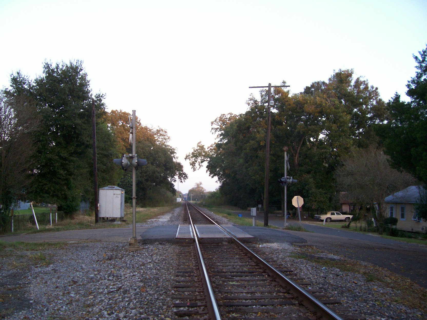
Looking eastward

Land of Lakes Farm

Smoldering House No 1 (iPhone)

Sunset in Louisiana
20130610SwampBase-066.jpg
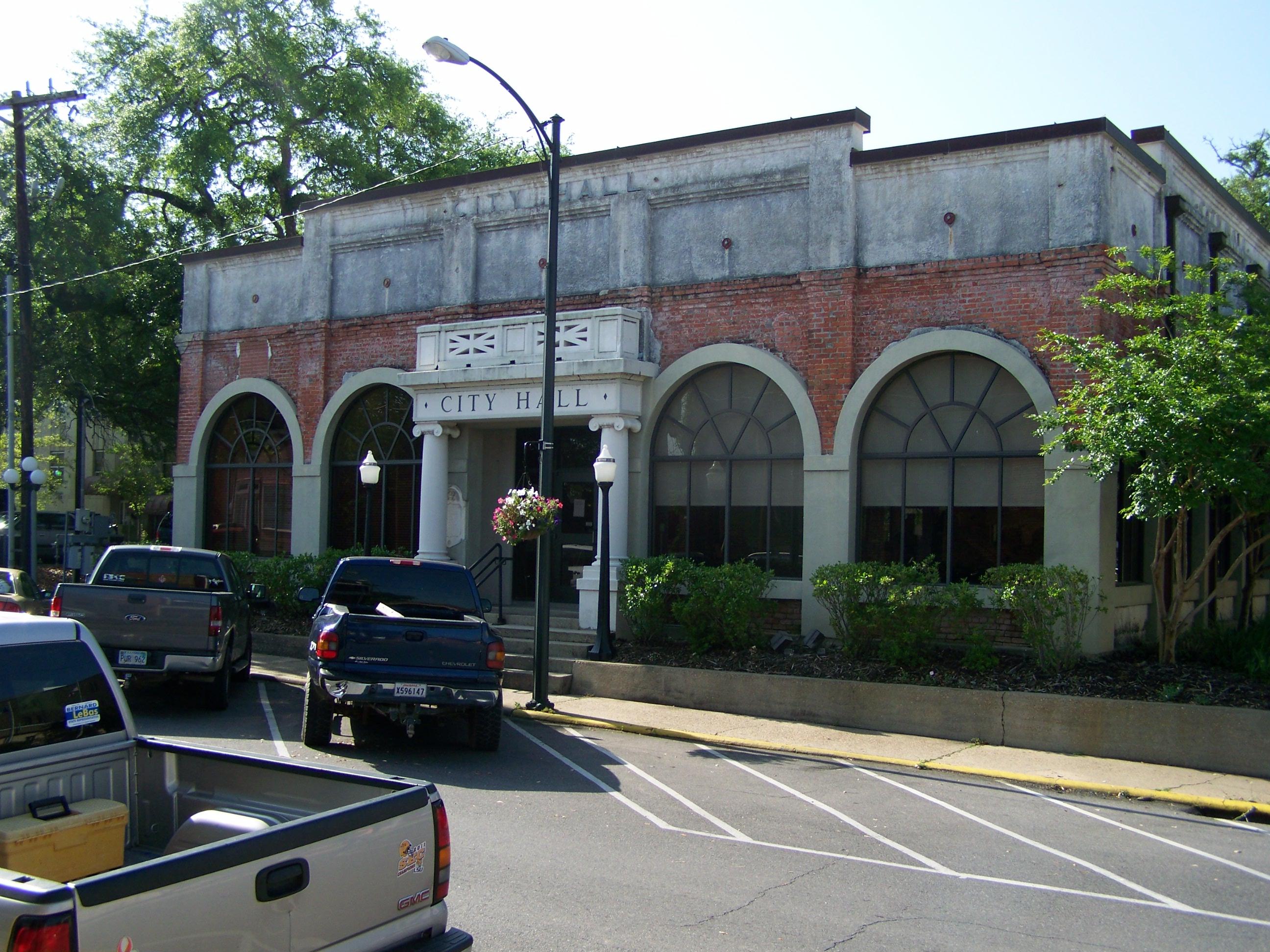
City Hall- Opelousas LA (1)
Topographic Map of Port Barre, LA, USA
Find elevation by address:

Places in Port Barre, LA, USA:
Places near Port Barre, LA, USA:
US-, Port Barre, LA, USA
757 Mallet Rd
4755 La-31
925 Country Ridge Rd
367 Euzebe Rd
367 Euzebe Rd
367 Euzebe Rd
7, LA, USA
1319 N Market St
Opelousas
705 Old Spanish Rd
115 Country Ridge Rd
231 W North St
231 W North St
Gintilly Road
661 Southwood Dr
Redbud Lane
1924 Alonzo St
1494 Fuselier Rd
9, LA, USA
Recent Searches:
- Elevation of Unnamed Road, Respublika Severnaya Osetiya — Alaniya, Russia
- Elevation of Verkhny Fiagdon, North Ossetia–Alania Republic, Russia
- Elevation of F. Viola Hiway, San Rafael, Bulacan, Philippines
- Elevation of Herbage Dr, Gulfport, MS, USA
- Elevation of Lilac Cir, Haldimand, ON N3W 2G9, Canada
- Elevation of Harrod Branch Road, Harrod Branch Rd, Kentucky, USA
- Elevation of Wyndham Grand Barbados Sam Lords Castle All Inclusive Resort, End of Belair Road, Long Bay, Bridgetown Barbados
- Elevation of Iga Trl, Maggie Valley, NC, USA
- Elevation of N Co Rd 31D, Loveland, CO, USA
- Elevation of Lindever Ln, Palmetto, FL, USA