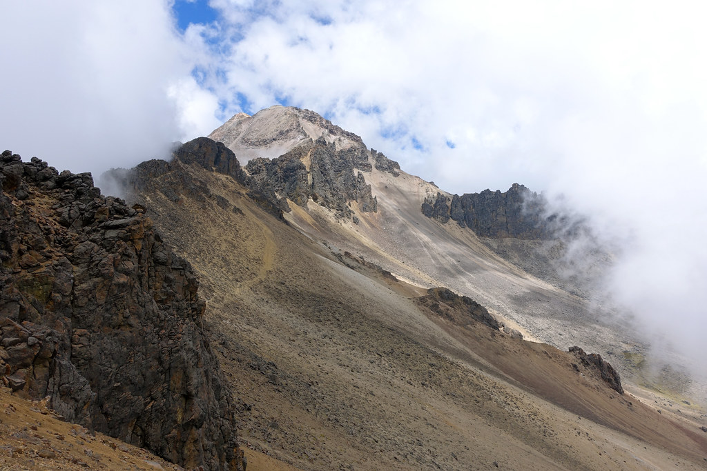
Elevation of Popocatépetl, State of Mexico, Mexico
Location: Mexico > State Of Mexico > Atlautla >
Longitude: -98.627901
Latitude: 19.0224223
Elevation: 5383m / 17661feet
Barometric Pressure: 51KPa
Elevation Map:
Satellite Map:
Related Photos:
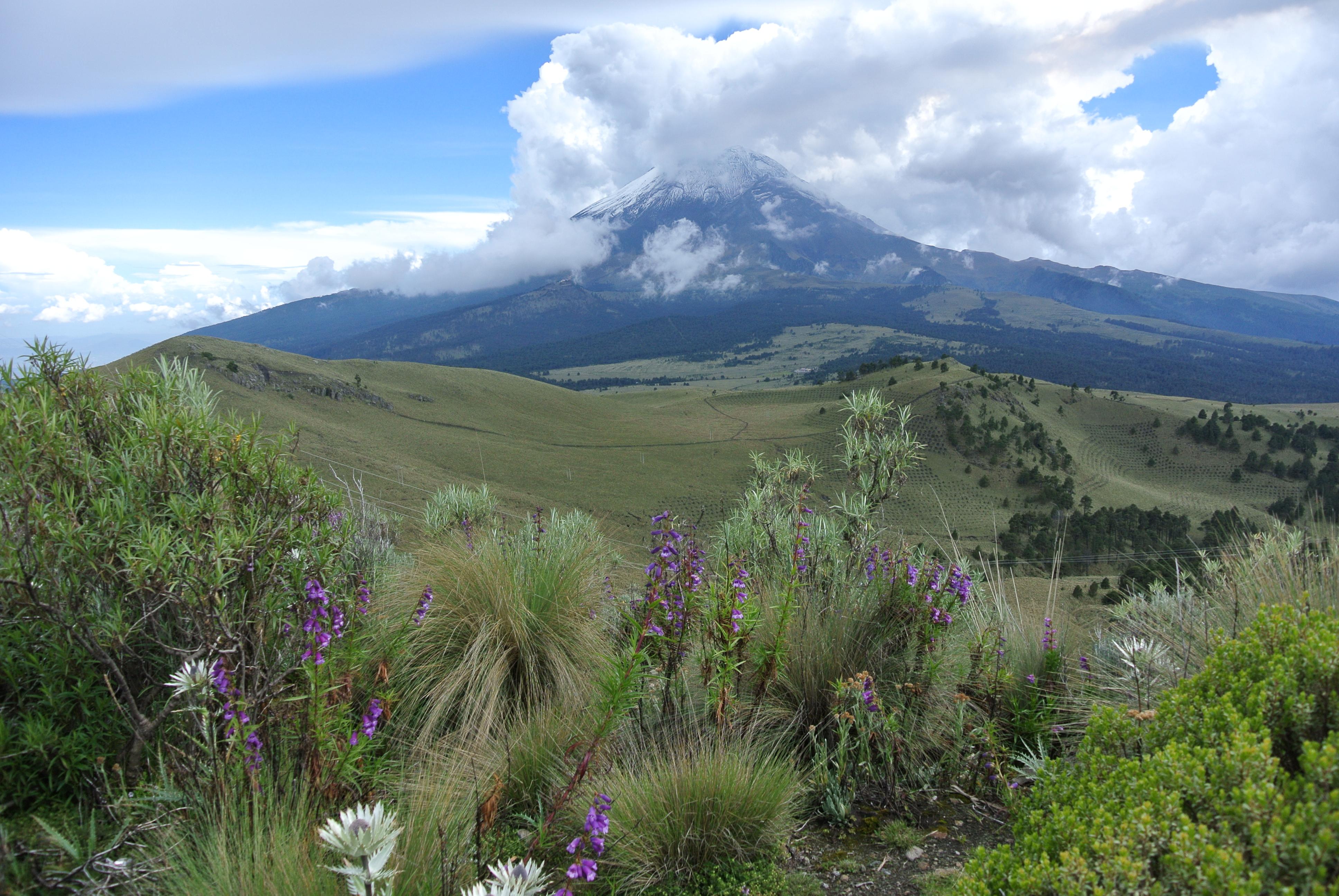
Clearing views of Popocatépetl in the distance
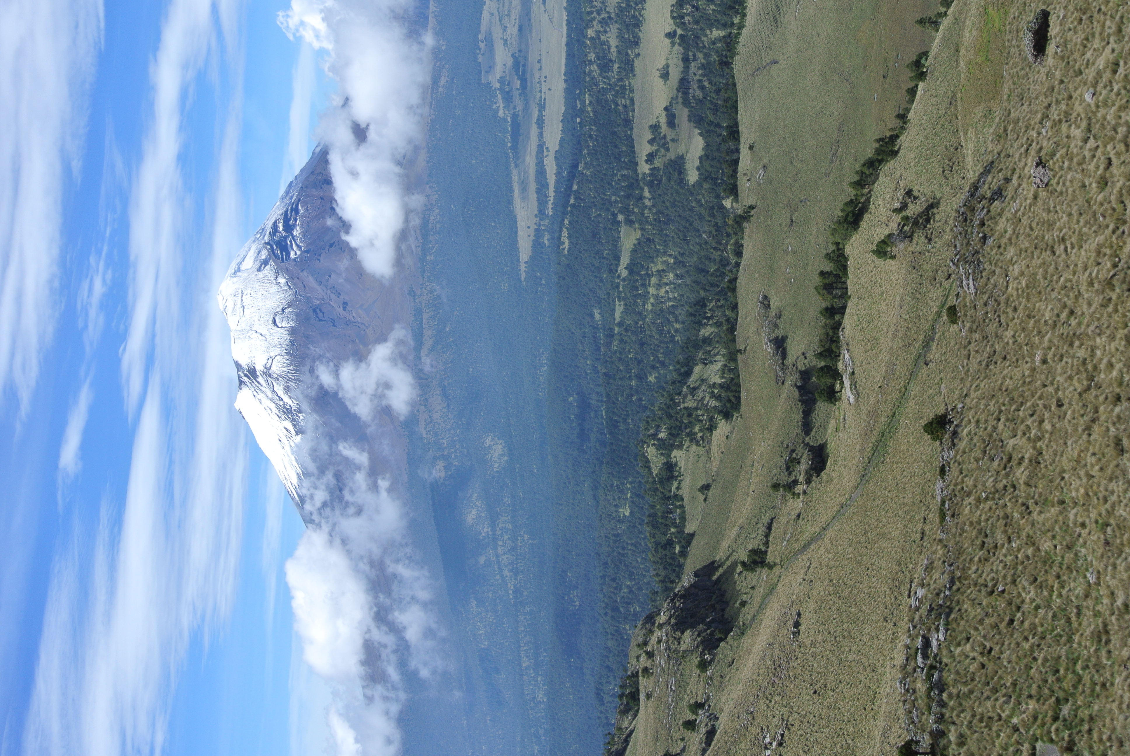
Clear views of Popocatepetl
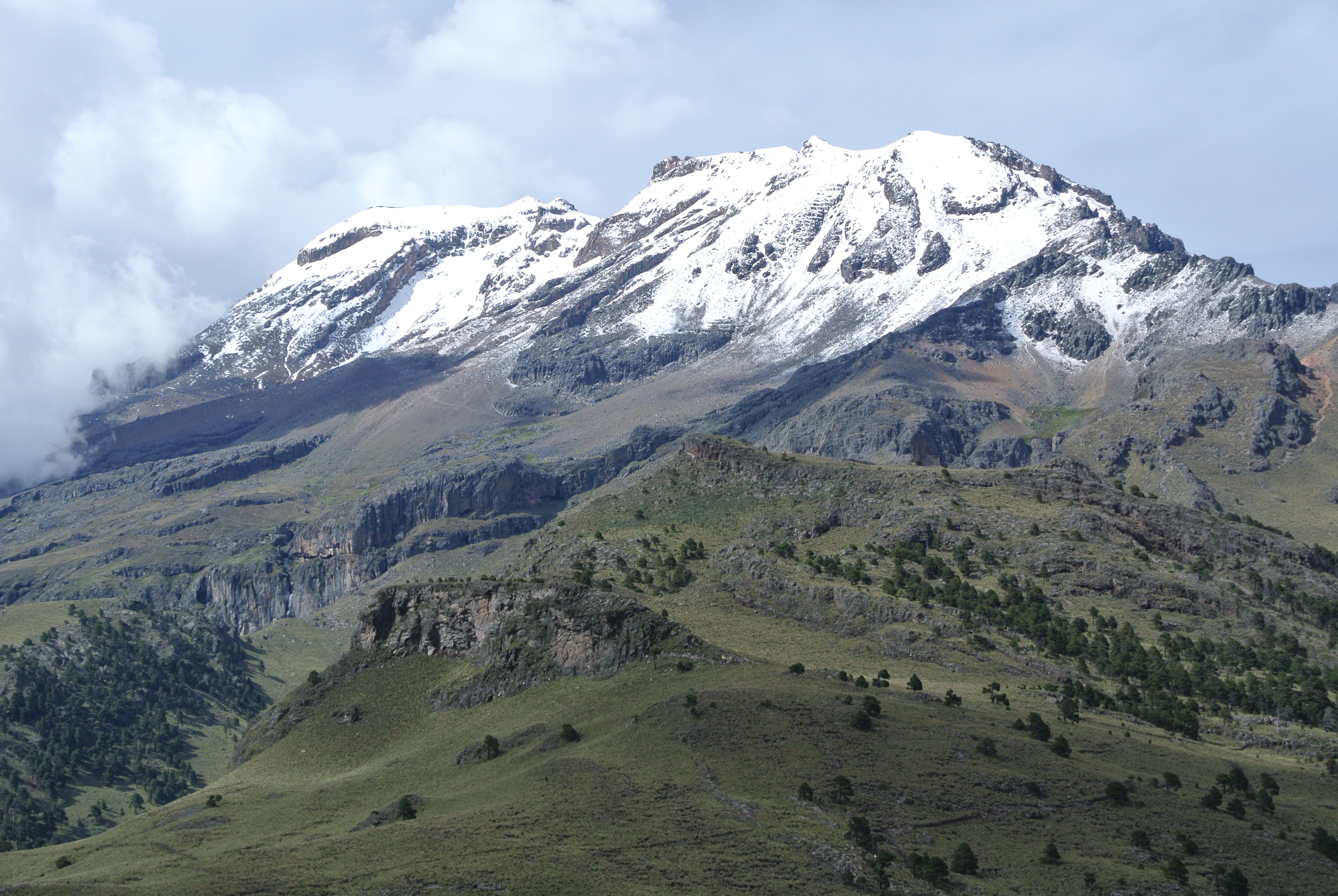
Beautiful clear views of Iztaccíhuatl from Paso de Cortés
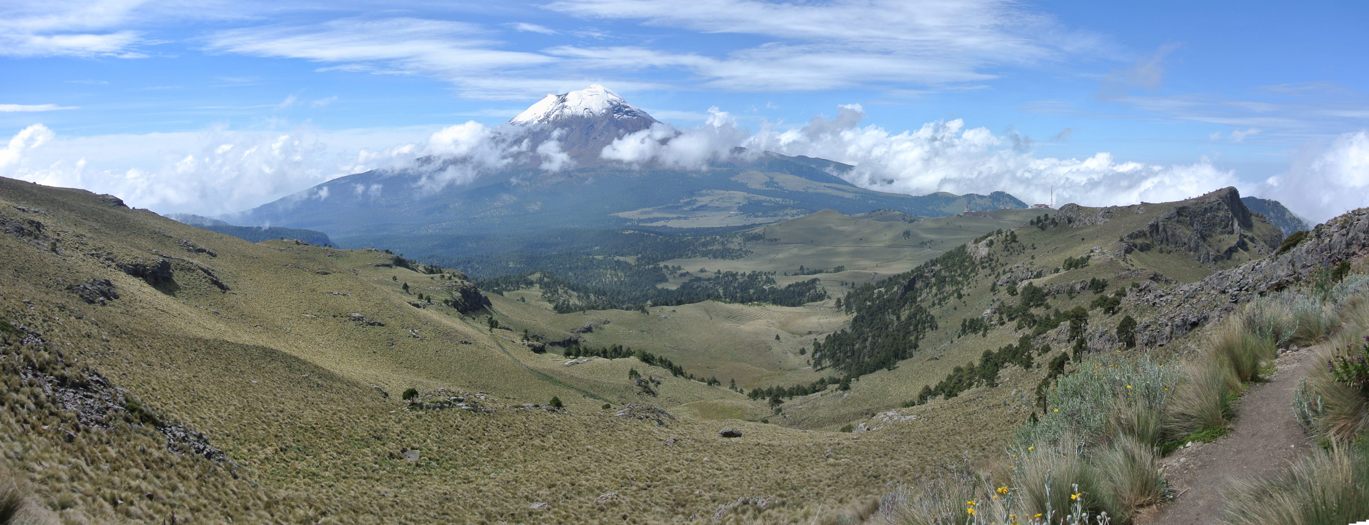
Izta Panorama - Looking out to stunning views of Popocatepetl
View from the saddle between the feet and knees
Topographic Map of Popocatépetl, State of Mexico, Mexico
Find elevation by address:

Places near Popocatépetl, State of Mexico, Mexico:
La Magdalena Yancuitlalpan
La Magdalena Yancuitlalpan
Constitución 2, La Magdalena Yancuitlalpan, La Magdalena Yancuitlalpan, Pue., Mexico
Tochimilco
San Pedro
Atlautla
Amecameca
Melchor Ocampo 1, Amecameca, Amecameca de Juárez, Méx., Mexico
Tepetlixpa
Av. Miguel Hidalgo 12
San Antonio Tlatenco
Manzana 2
Ignacio López Rayón 6, Manzana 2, 2, Pue., Mexico
Santiago Atzitzihuacán
Cuarto Barrio
Nepantla De Sor Juana Inés De La Cruz
Sor Juana Inés de la Cruz 15, Nepantla de Sor Juana Inés de la Cruz, Méx., Mexico
Atlixco
Calle 3 Poniente, Centro, Atlixco, Pue., Mexico
Morelos 1, Puebla, Mexico
Recent Searches:
- Elevation of Corso Fratelli Cairoli, 35, Macerata MC, Italy
- Elevation of Tallevast Rd, Sarasota, FL, USA
- Elevation of 4th St E, Sonoma, CA, USA
- Elevation of Black Hollow Rd, Pennsdale, PA, USA
- Elevation of Oakland Ave, Williamsport, PA, USA
- Elevation of Pedrógão Grande, Portugal
- Elevation of Klee Dr, Martinsburg, WV, USA
- Elevation of Via Roma, Pieranica CR, Italy
- Elevation of Tavkvetili Mountain, Georgia
- Elevation of Hartfords Bluff Cir, Mt Pleasant, SC, USA