Elevation of Poplar Ridge Ln, Franklin, NC, USA
Location: United States > North Carolina > Macon County > Cartoogechaye >
Longitude: -83.49727
Latitude: 35.130279
Elevation: 803m / 2635feet
Barometric Pressure: 92KPa
Elevation Map:
Satellite Map:
Related Photos:

Smoky Mountains on Fire (III)

Fringed Phacelia
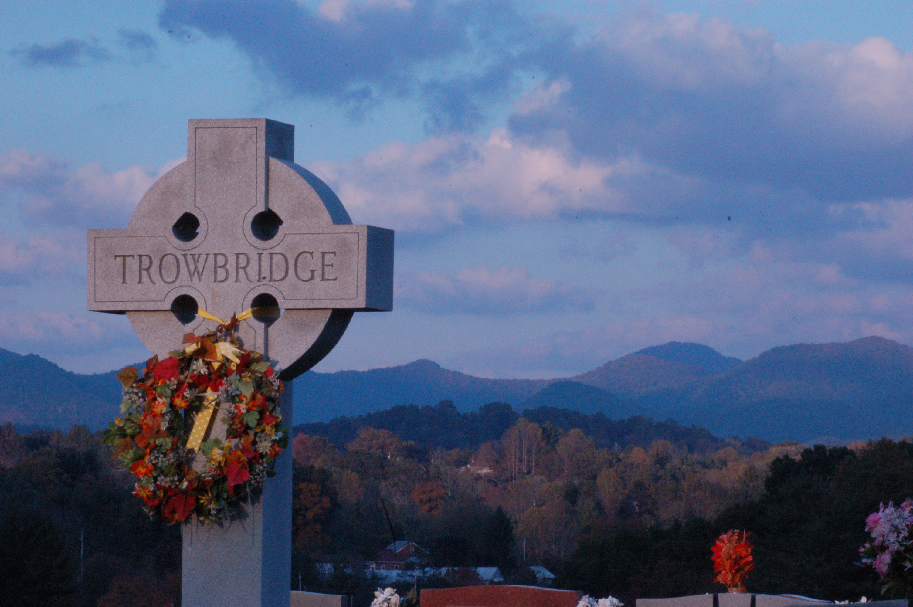
Cemetary View

Fire Pink
Standing Indian Mountain
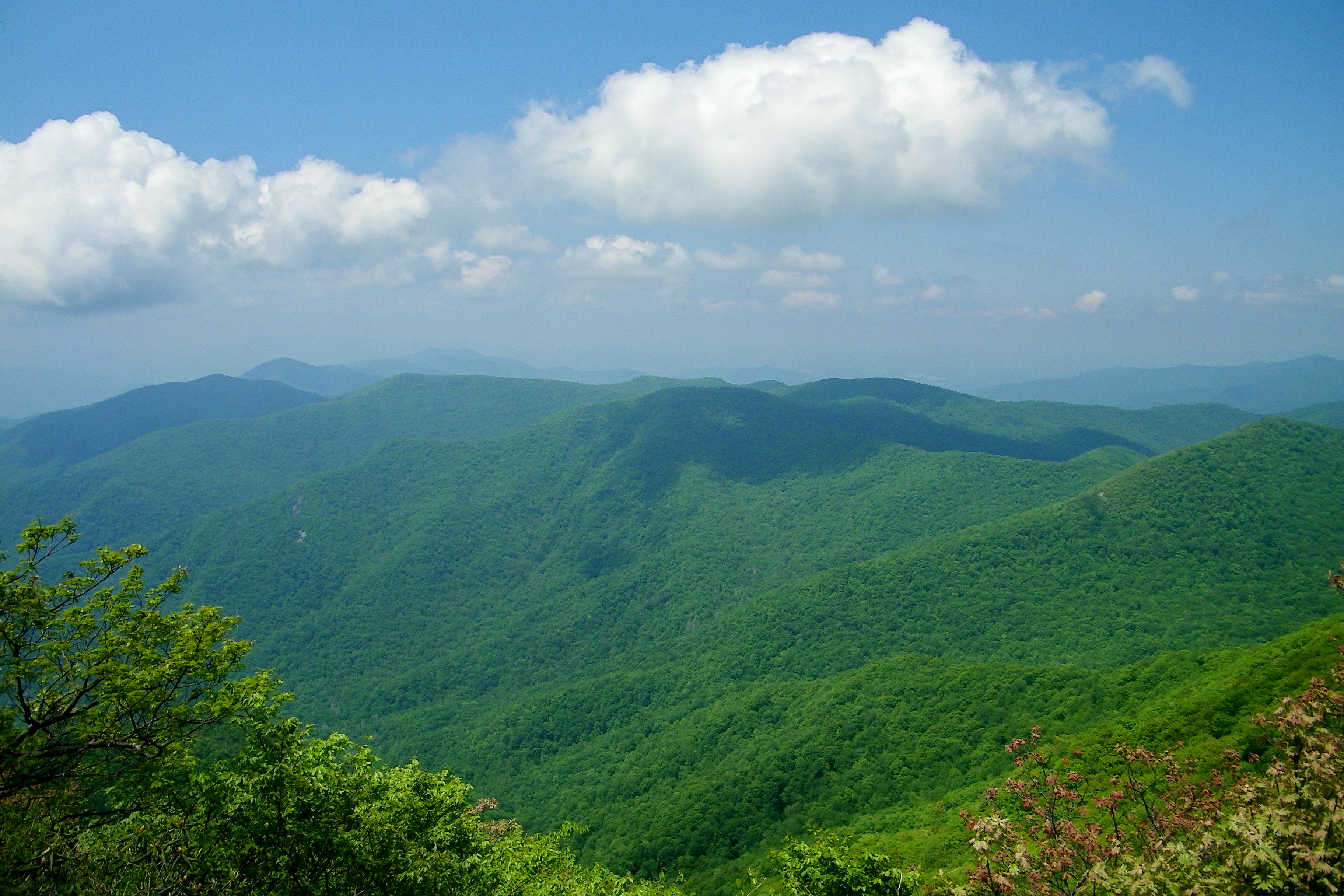
view from the road
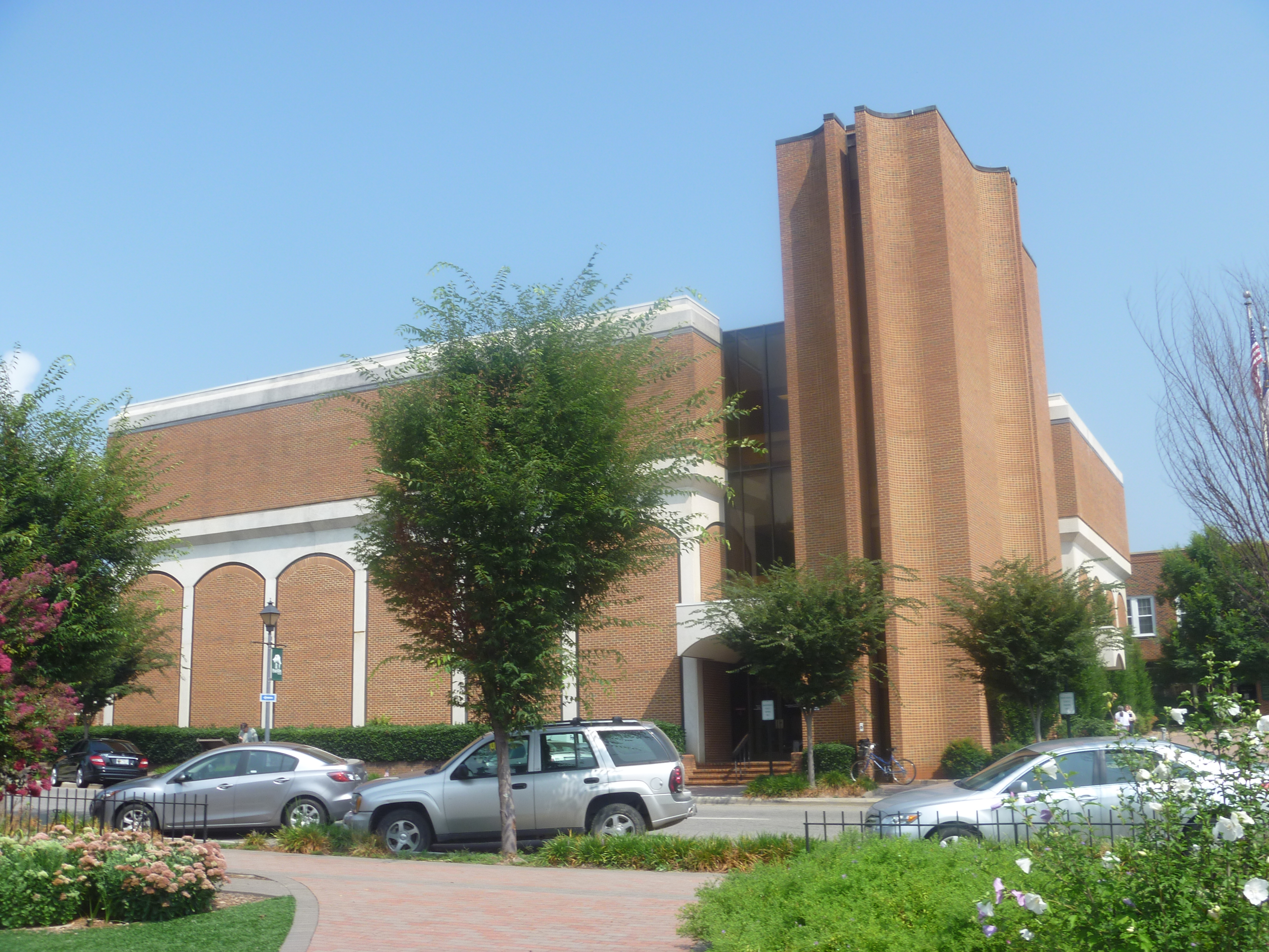
Side View Of Macon County Courthouse
Front Porch View 1

Smoky Mountains on Fire (II)
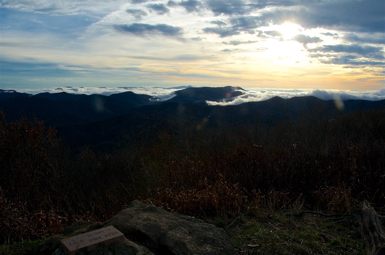
View from Silar Bald
82-140_View_from_Wayah_Bald_Nantahala_National_Forest_NC
Standing Indian22
Standing Indian24

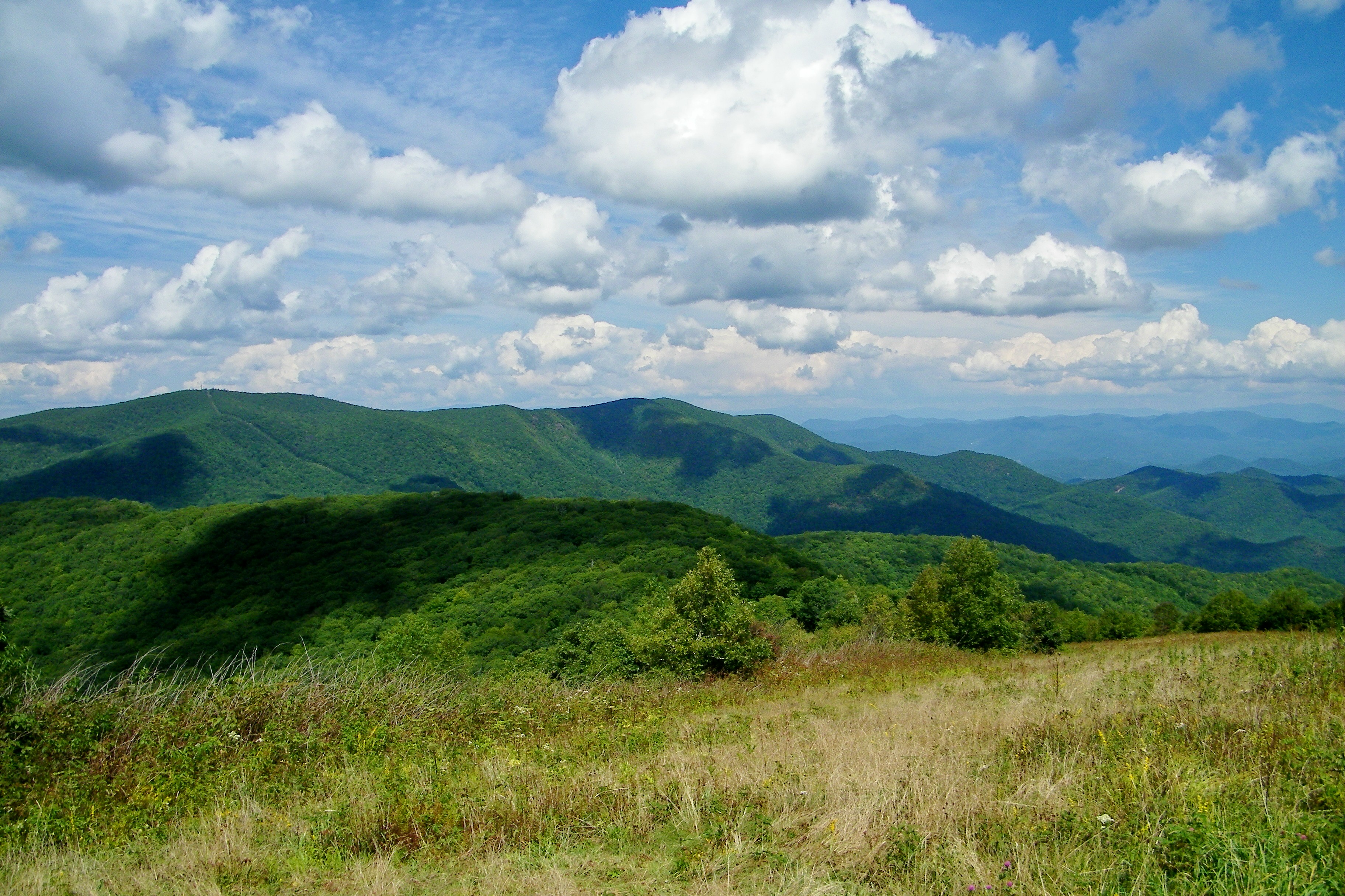
W4C/WM-024 - Siler Bald View
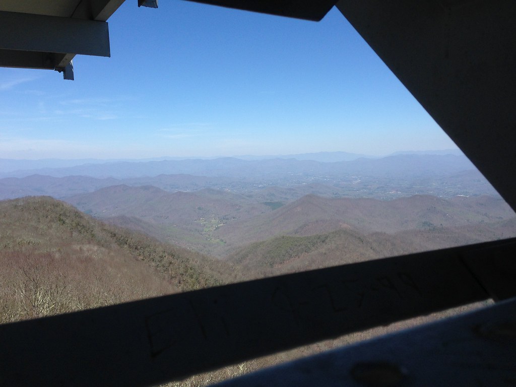
View from Wayah Bald Tower
Standing Indian23

Wayah Bald Fire Tower - Franklin, North Carolina (HDR)
W4C/WM-024 - Siler Bald View
W4C/WM-024 - Siler Bald View
View from Albert Mountain
Silers Bald

smoky vacation RAW 6-9-2013 298
Fields of Gold | Franklin, NC

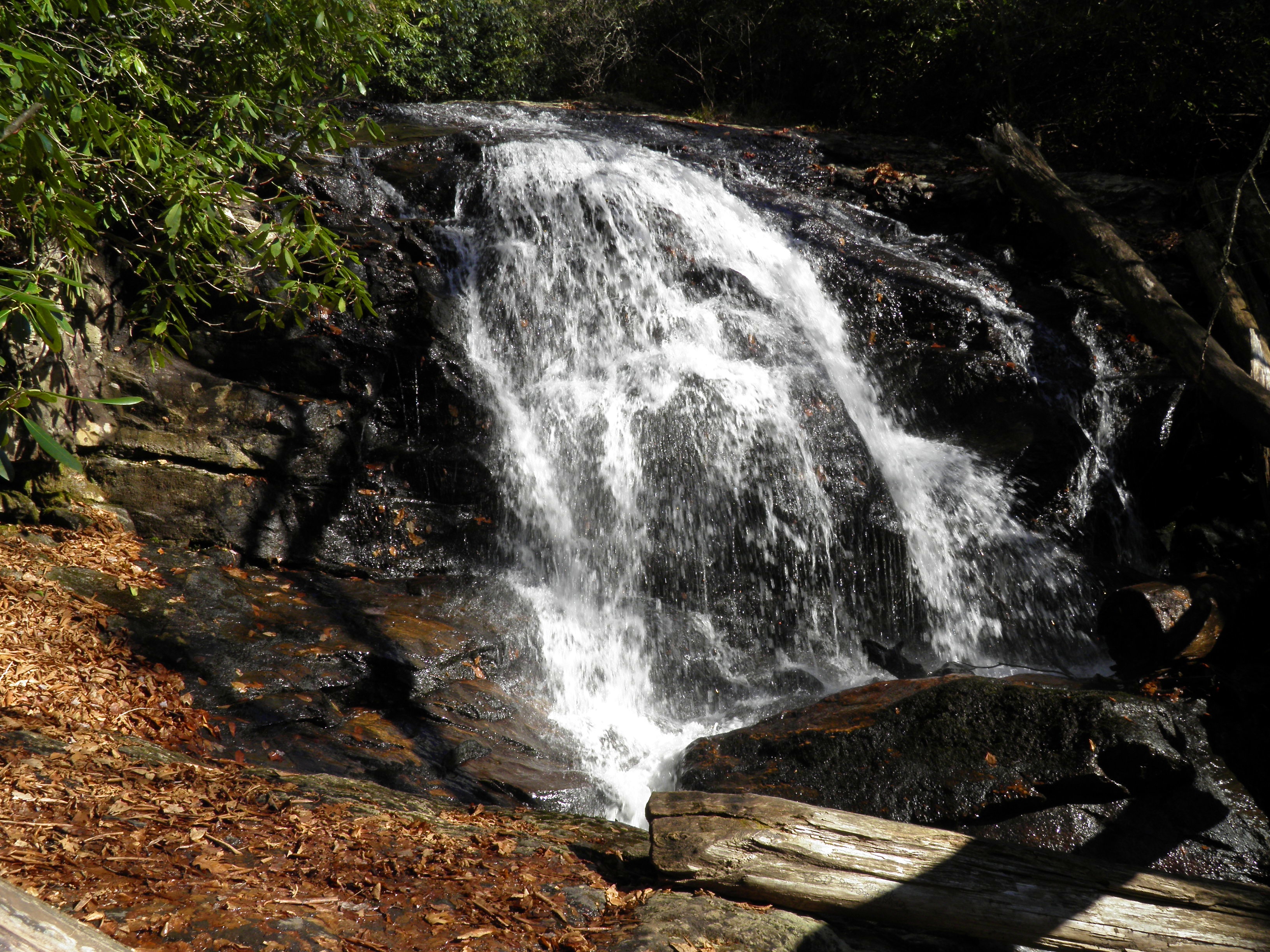
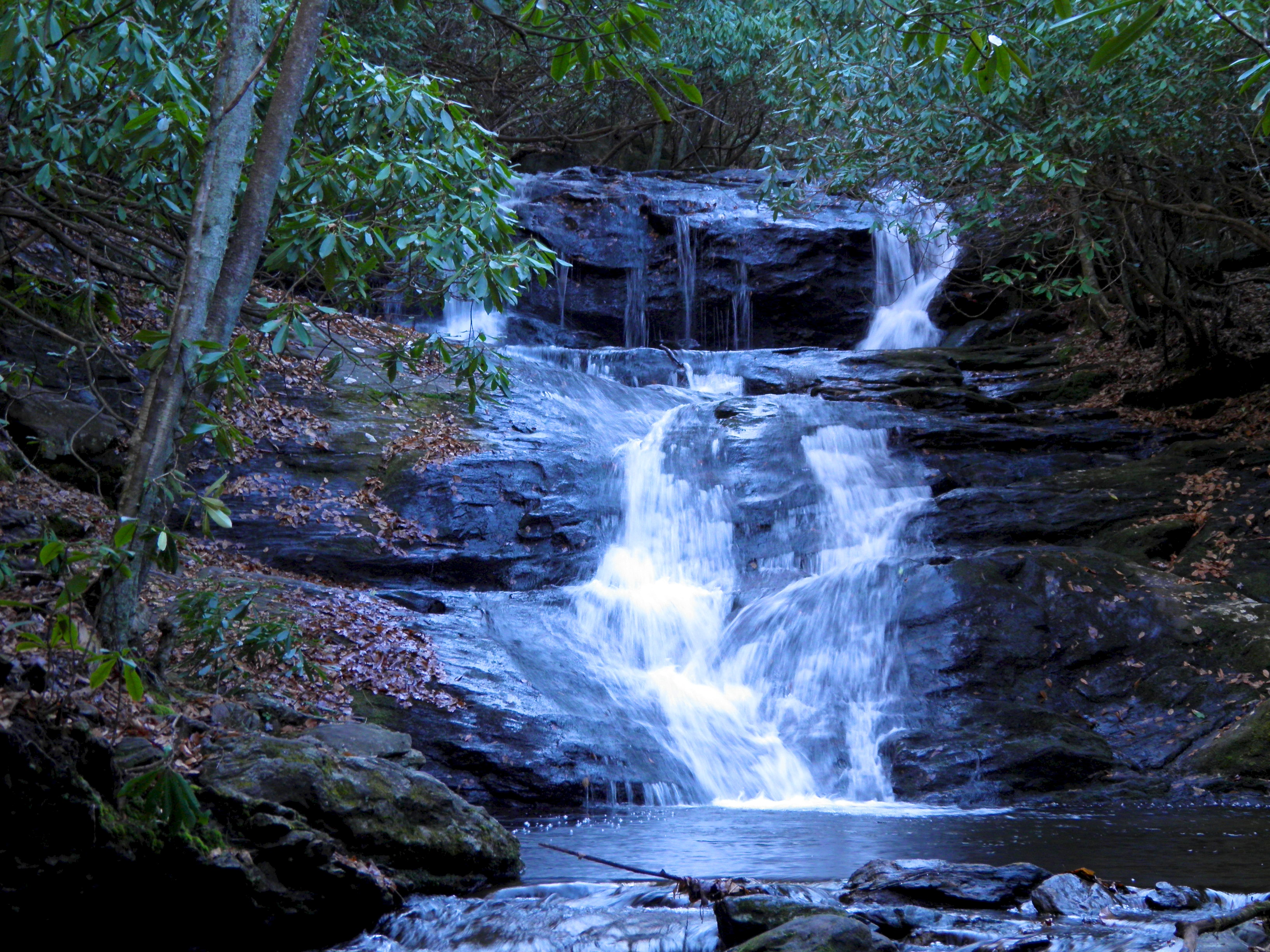
Rufus Morgan Falls

Big Laurel Falls #franklin #standingindian #appalachia #blueridgecountry #welovenc #we_see_wnc #wilderness_culture #biglaurelfalls #diamondbrand_outdoors #cmc100challenge #stream #falls #explore #westernnorthcarolina #landofwaterfalls
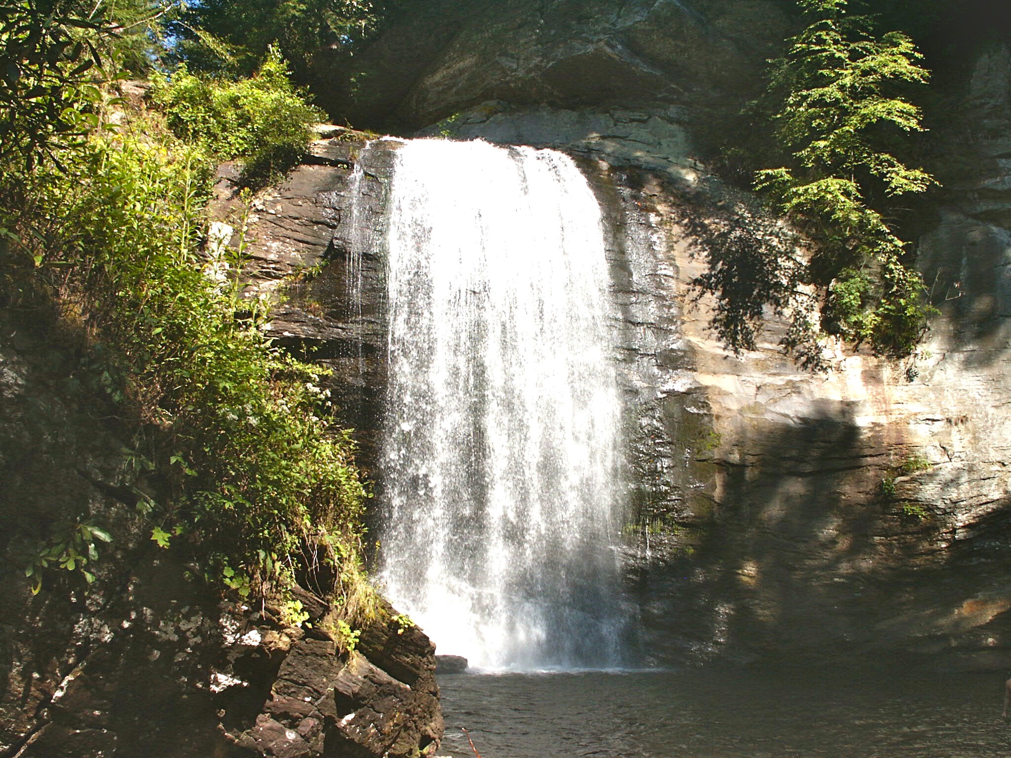
Looking Glass Falls, Pisgah National Forest, NC
Standing Indian20
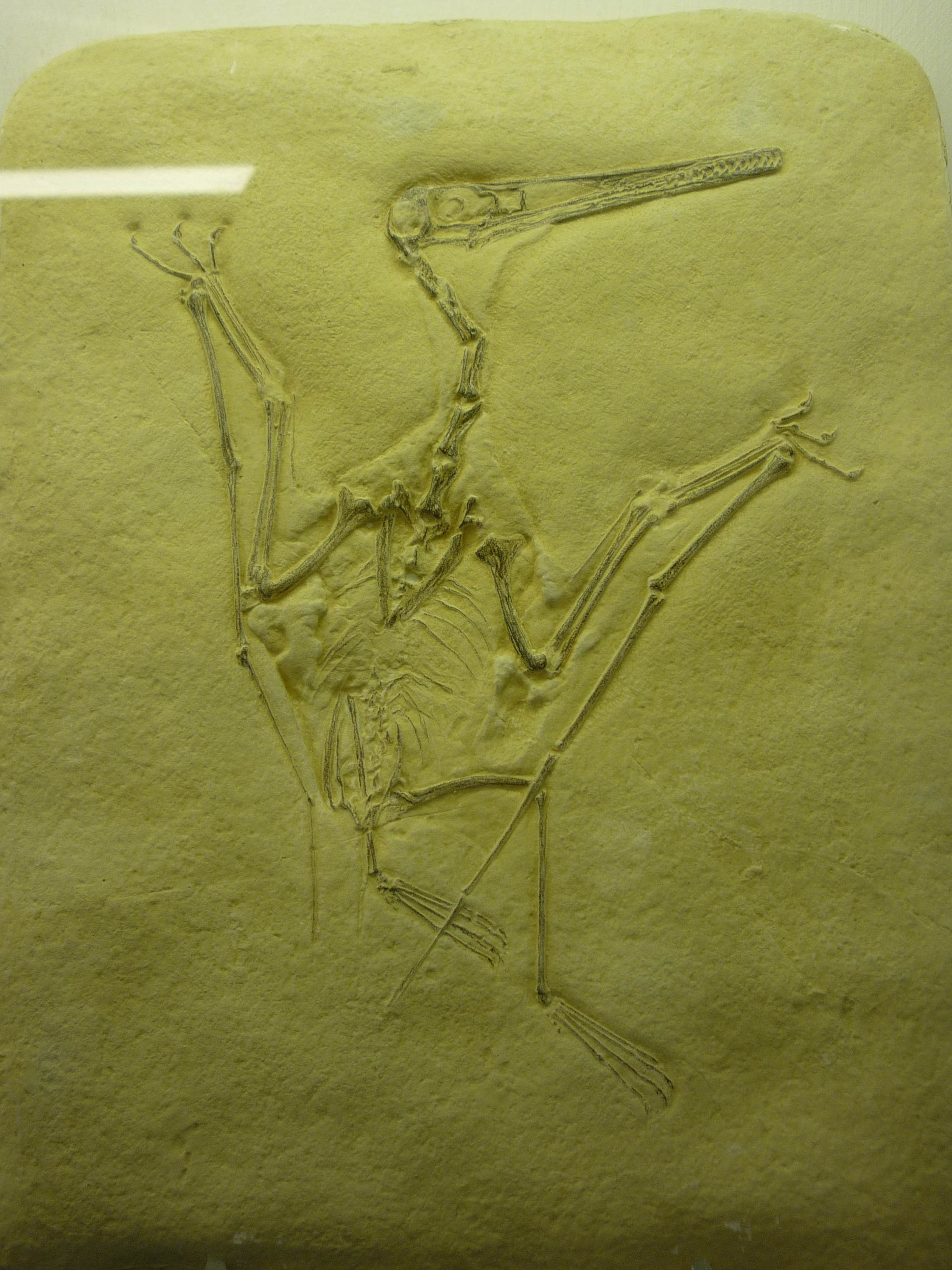
bird-like fossil
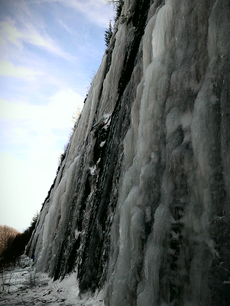
Interstate ice wall
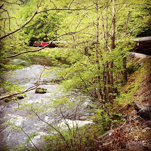
Train tour of the Great Smoky Mts

Standing Indian19

Low cloudbank descending over the Pinnacle from Albert Mountain summit, Nantahala National Forest

Rufus Morgan Trailhead-8426
Standing Indian9
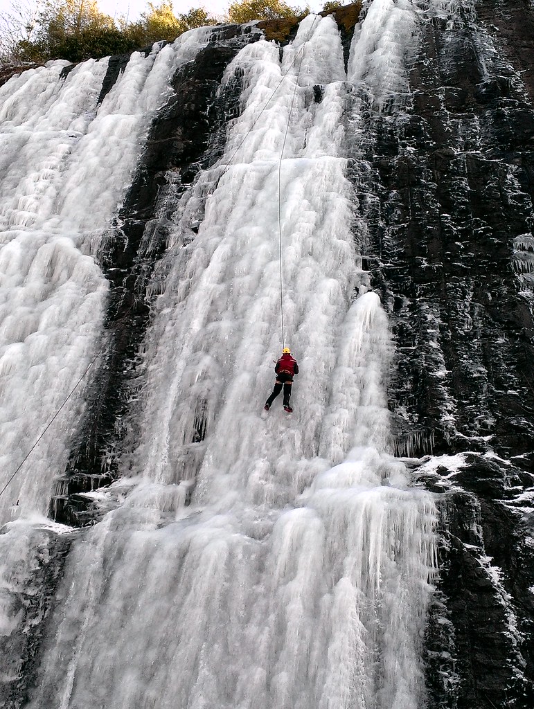
Interstate ice climbers
Standing Indian12
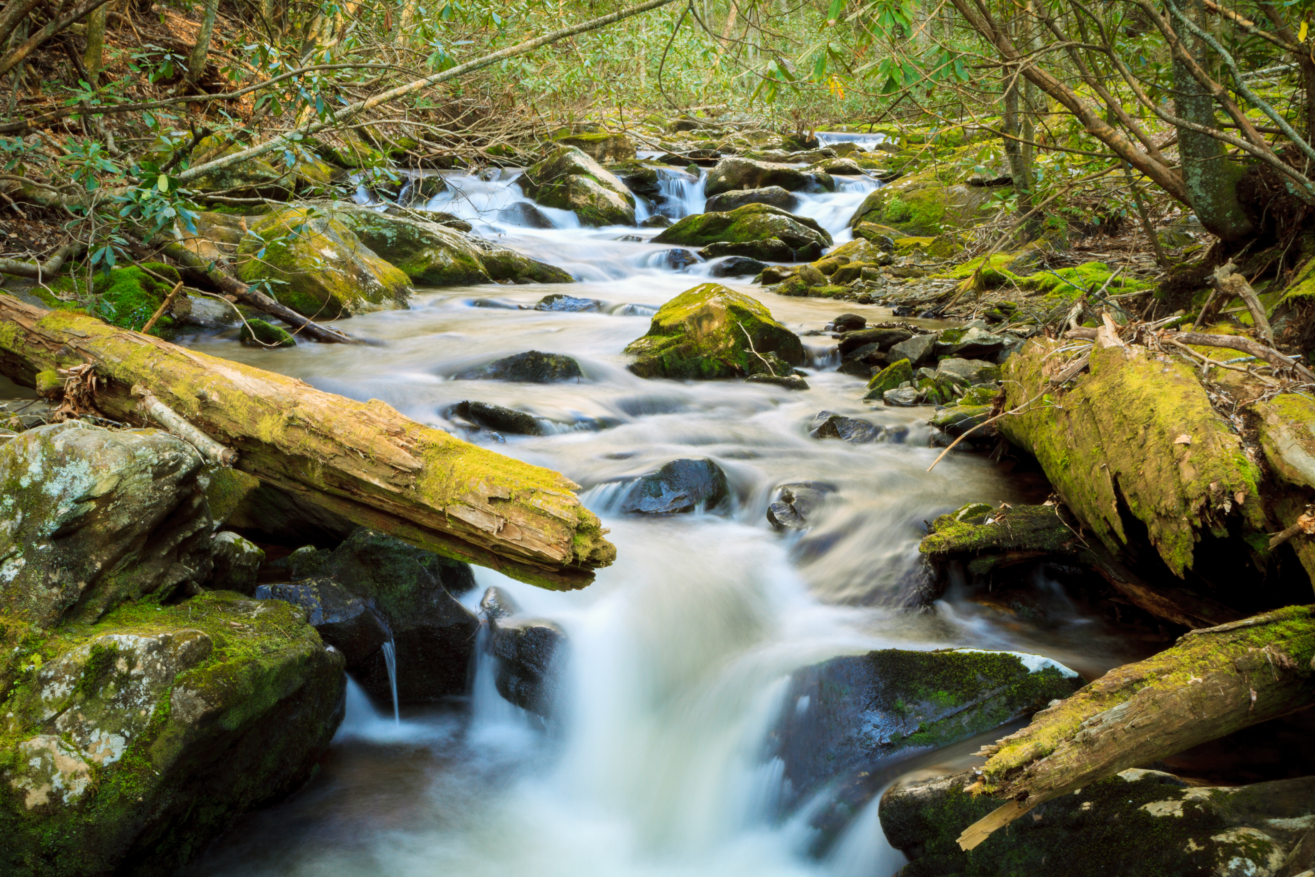
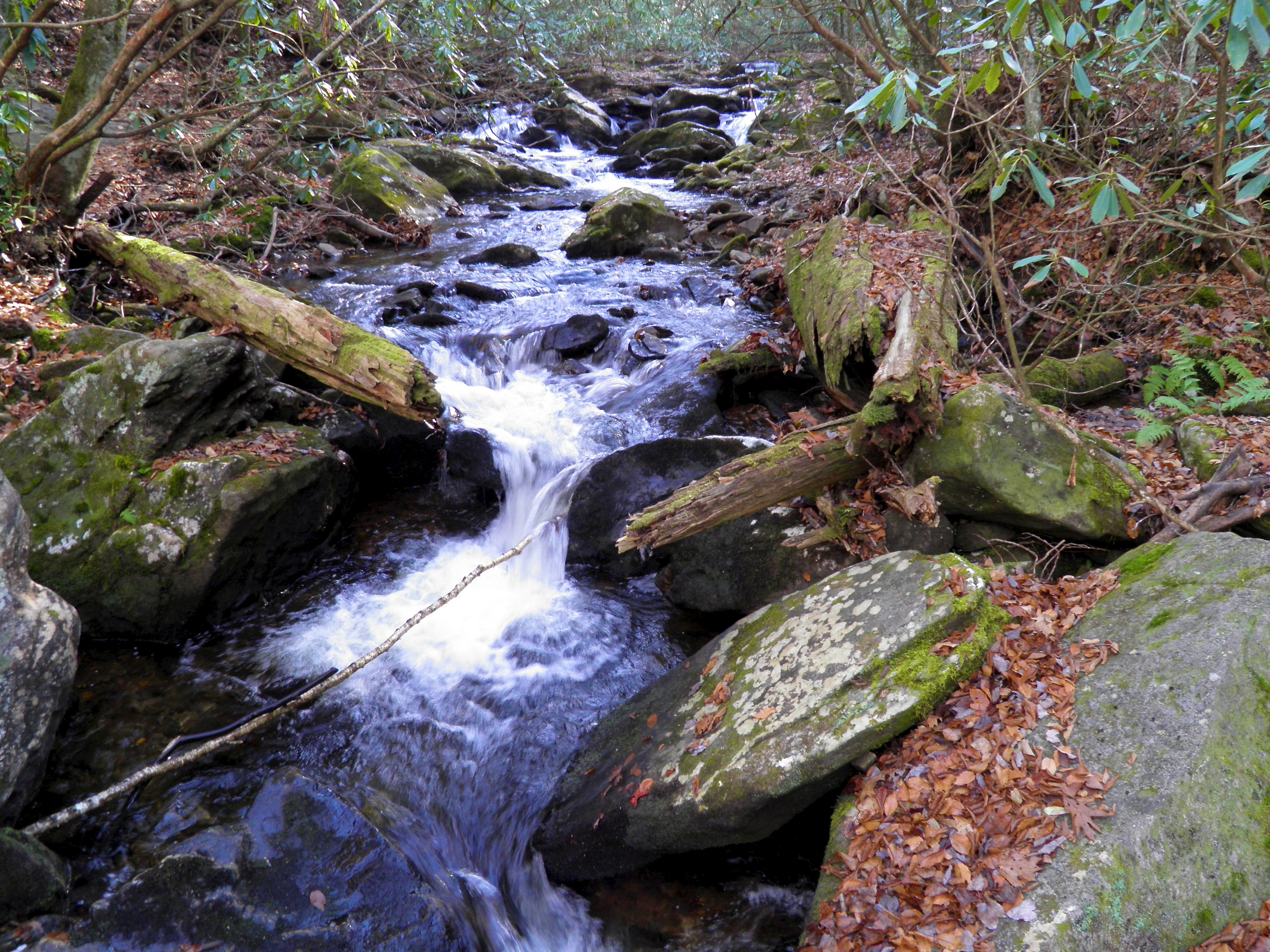
Mooney Creek
Topographic Map of Poplar Ridge Ln, Franklin, NC, USA
Find elevation by address:

Places near Poplar Ridge Ln, Franklin, NC, USA:
538 Poplar Cove Rd
83 Hideway Ln
172 Crestline Dr
83 Hideaway Dr
41 Pleasant Valley Ln
41 Pleasant Valley Ln
290 No Name Rd
West Dills Creek Road
14 Muskrat Valley Ln
Muskrat Road
91 No Name Rd
91 No Name Rd
91 No Name Rd
91 No Name Rd
165 W Old Murphy Rd
59 Rich Rd
8 Rich Rd
56 Lofty Ln
Anderson Creek Road
23 Lofty Ln
Recent Searches:
- Elevation of East W.T. Harris Boulevard, E W.T. Harris Blvd, Charlotte, NC, USA
- Elevation of West Sugar Creek, Charlotte, NC, USA
- Elevation of Wayland, NY, USA
- Elevation of Steadfast Ct, Daphne, AL, USA
- Elevation of Lagasgasan, X+CQH, Tiaong, Quezon, Philippines
- Elevation of Rojo Ct, Atascadero, CA, USA
- Elevation of Flagstaff Drive, Flagstaff Dr, North Carolina, USA
- Elevation of Avery Ln, Lakeland, FL, USA
- Elevation of Woolwine, VA, USA
- Elevation of Lumagwas Diversified Farmers Multi-Purpose Cooperative, Lumagwas, Adtuyon, RV32+MH7, Pangantucan, Bukidnon, Philippines