Elevation of Popes Creek Rd, Newburg, MD, USA
Location: United States > Maryland > Charles County > 4, Allens Fresh >
Longitude: -76.990535
Latitude: 38.398769
Elevation: 1m / 3feet
Barometric Pressure: 101KPa
Elevation Map:
Satellite Map:
Related Photos:
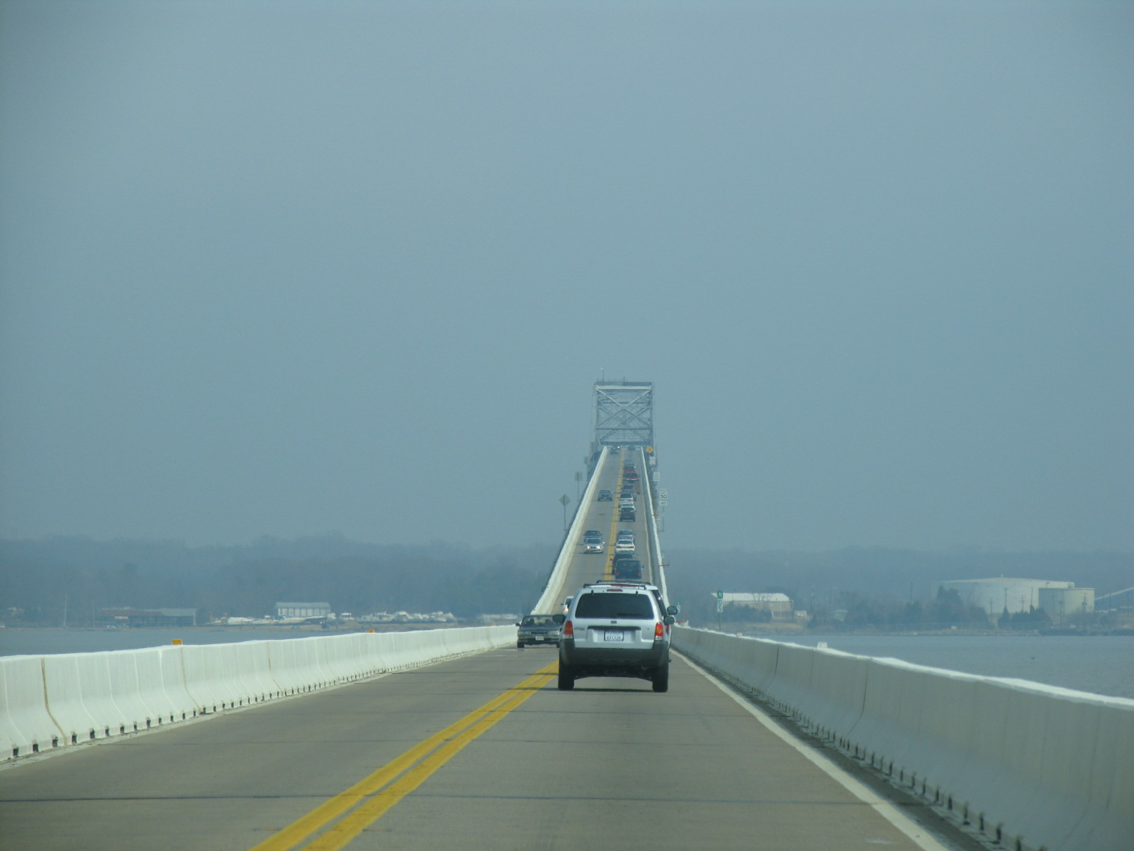
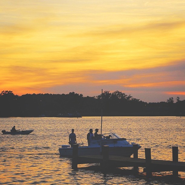
US 301 Bridge over the Potomac

Ready for the second fire hurdle!
Beach Views - Colonial Beach
Gilbert Run Park

Bridge view

Port Tobacco Courthouse
Fog in my Head
Ice on the Potomac
Trip to #Baltimore, #Maryland 2012

View from St. Ignatius
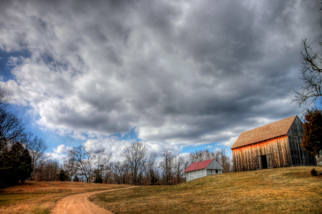
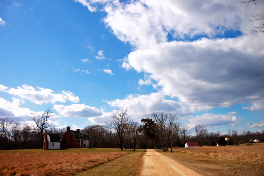
Old Barn at Friendship Farm Park
Go To Jail
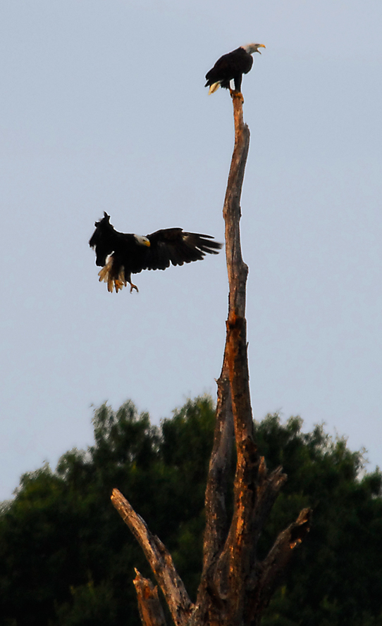
...the eagle is landing...

Gilbert Run Park
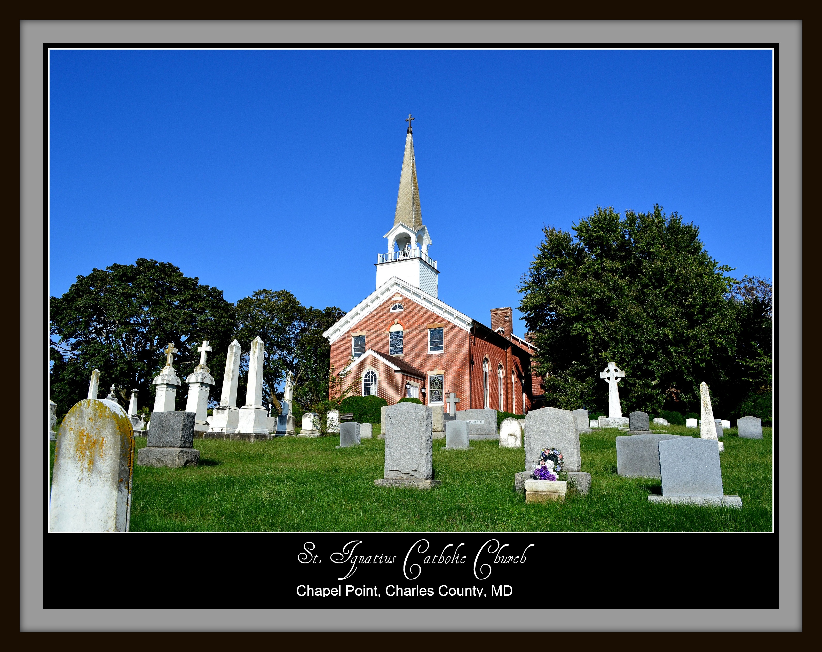
St. Ignatius Catholic Church

Catching up

Osprey Nest 1

US301 bridge, Md to Va

Imports vs Domestics [11.07.10]

Imports vs Domestics [11.07.10]

Imports vs Domestics [11.07.10]

Harry Nice Bridge and Power plant

Chesapeake Bay Nutria Eradication Program
That nature pic of the day...

Hermit Thrush
Trying to take pictures while #running...

Summer Morning
barn and clouds
Gilbert Run Park

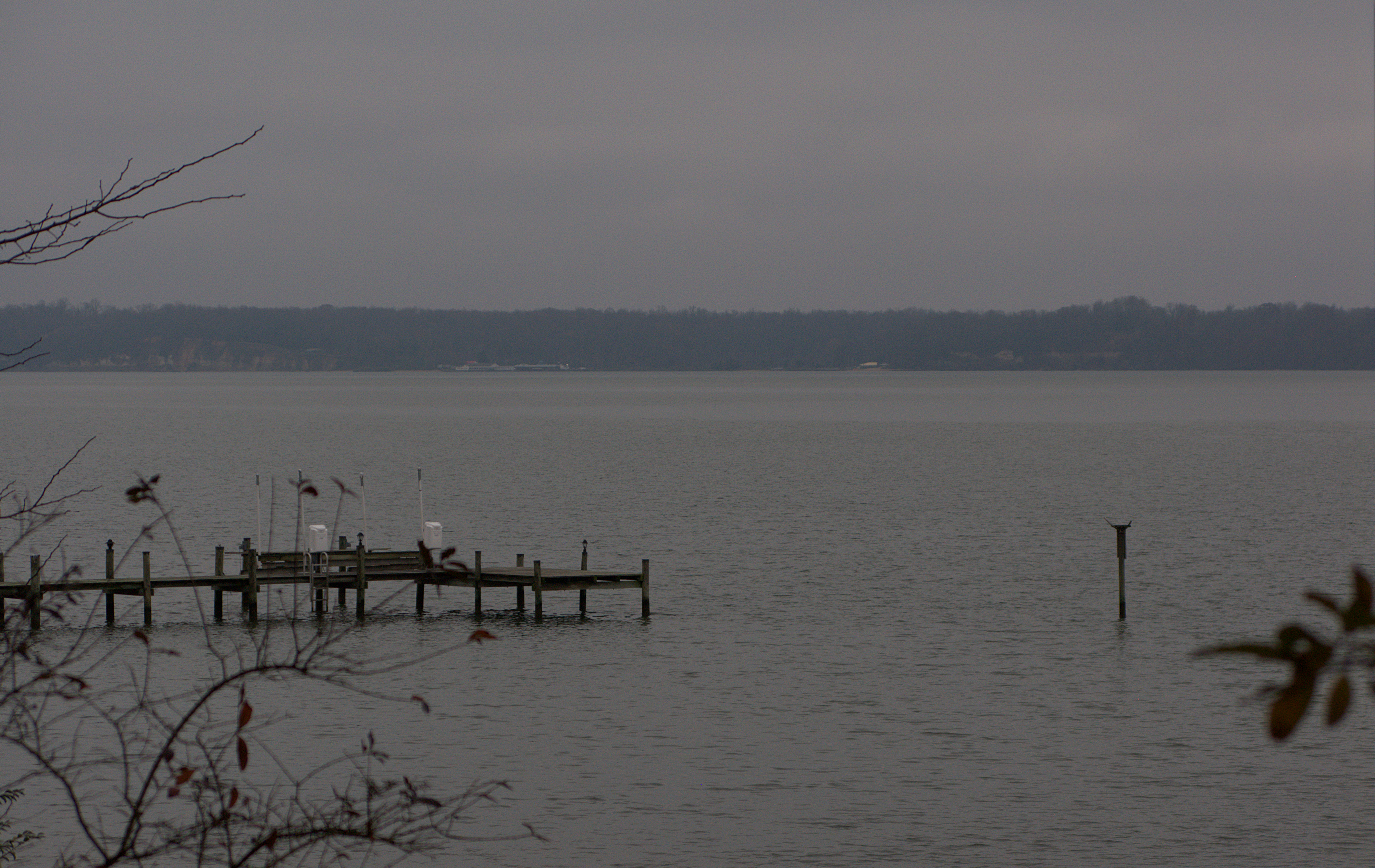
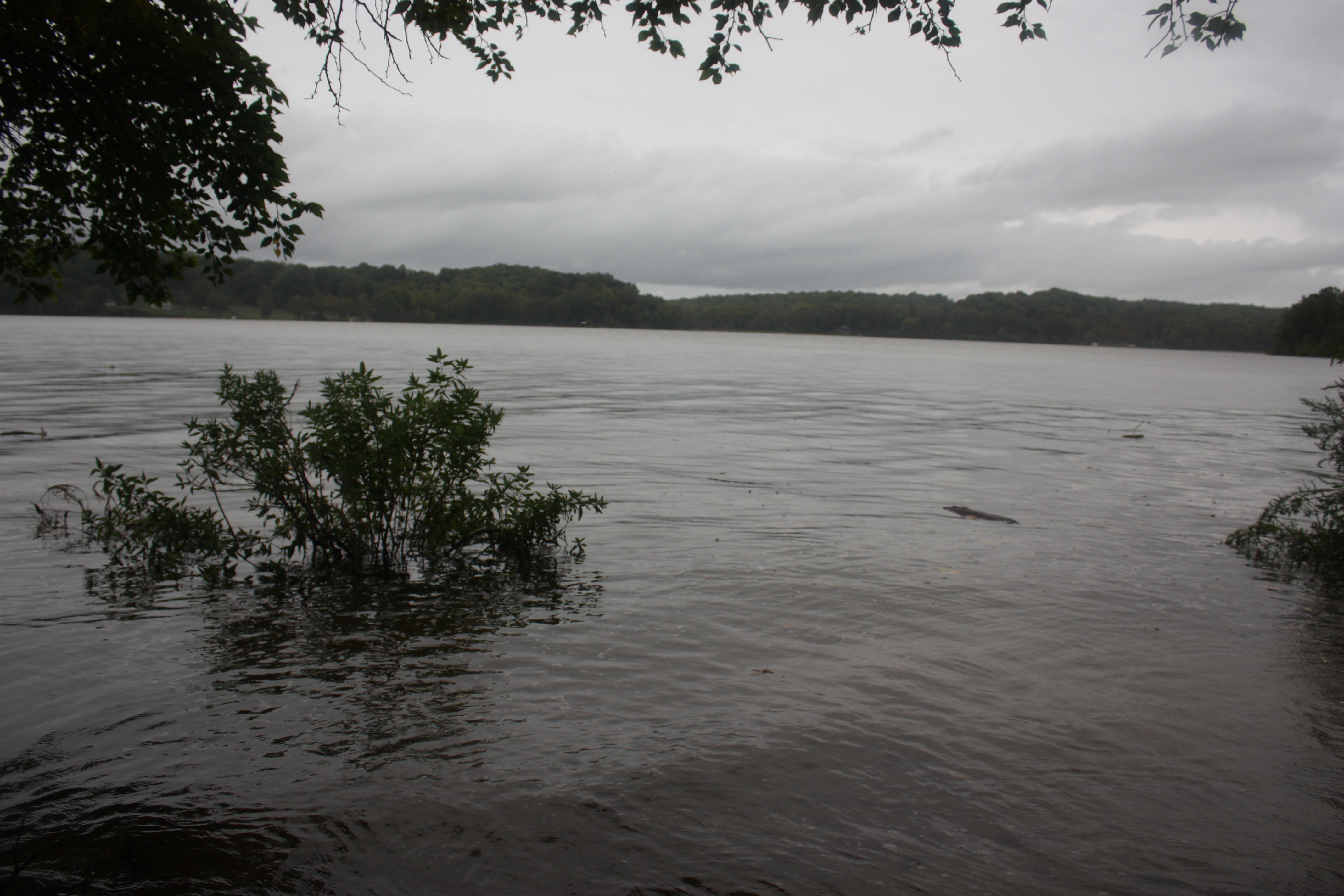
Tidal Potomac River shoreline, Faulkner, MD
Hawthorne Country Club

Swamp Sparrow
Gilbert Run

Swan Point
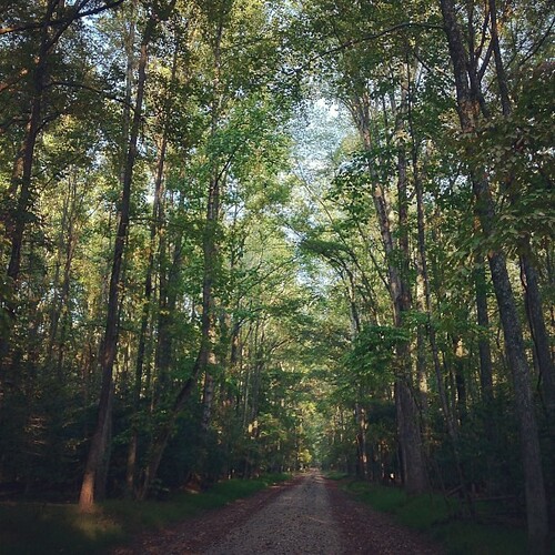
the open road

Gilbert Run Park
Not a particularly strenuous hike.
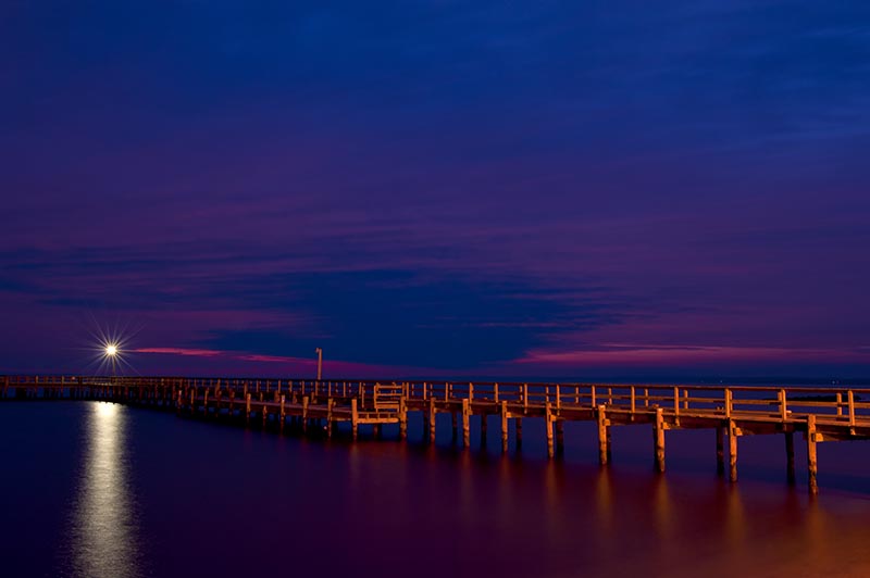
Colonial Beach Pier
US301 bridge, Md to Va
#sunset

Liquid Gold
port tobacco 099
Topographic Map of Popes Creek Rd, Newburg, MD, USA
Find elevation by address:

Places near Popes Creek Rd, Newburg, MD, USA:
9300 Overlook Cir
Faulkner
Newburg
Bowling Rd, Faulkner, MD, USA
Morgantown
Shiloh Church Rd, Newburg, MD, USA
Newport Church Rd, Charlotte Hall, MD, USA
Gilbert Ln, La Plata, MD, USA
4, Allens Fresh
Mt Victoria Rd, Newburg, MD, USA
Norwood Dr, Charlotte Hall, MD, USA
27861 Budds Creek Rd
Budds Creek
35778 Bay Dr
Roosevelt Blvd, Chaptico, MD, USA
Padgett Ct, Charlotte Hall, MD, USA
23760 Old Chaptico Wharf Ln
N Ryceville Rd, Mechanicsville, MD, USA
4, Chaptico
Maddox Rd, Chaptico, MD, USA
Recent Searches:
- Elevation of Congressional Dr, Stevensville, MD, USA
- Elevation of Bellview Rd, McLean, VA, USA
- Elevation of Stage Island Rd, Chatham, MA, USA
- Elevation of Shibuya Scramble Crossing, 21 Udagawacho, Shibuya City, Tokyo -, Japan
- Elevation of Jadagoniai, Kaunas District Municipality, Lithuania
- Elevation of Pagonija rock, Kranto 7-oji g. 8"N, Kaunas, Lithuania
- Elevation of Co Rd 87, Jamestown, CO, USA
- Elevation of Tenjo, Cundinamarca, Colombia
- Elevation of Côte-des-Neiges, Montreal, QC H4A 3J6, Canada
- Elevation of Bobcat Dr, Helena, MT, USA