Elevation of Popcorn Church Rd, Springville, IN, USA
Location: United States > Indiana > Lawrence County > Perry Township > Springville >
Longitude: -86.655503
Latitude: 38.976805
Elevation: 207m / 679feet
Barometric Pressure: 99KPa
Elevation Map:
Satellite Map:
Related Photos:

Thief...
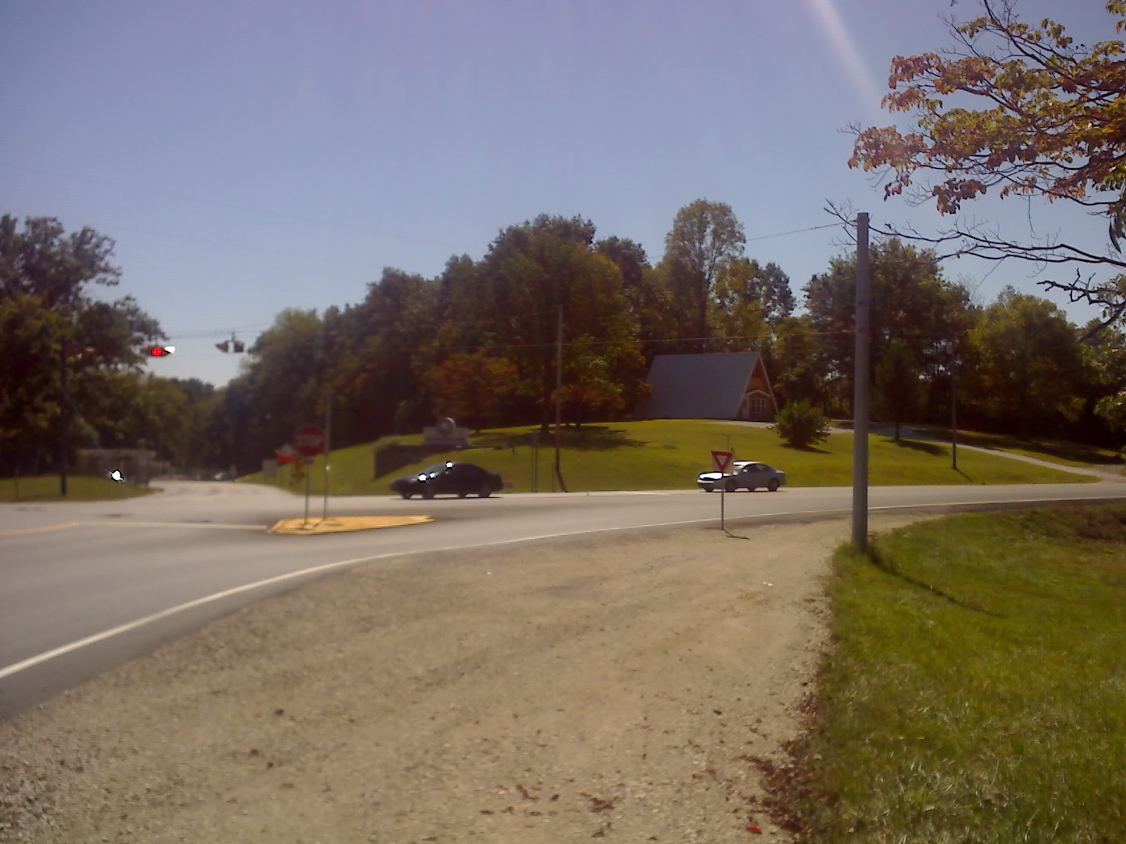
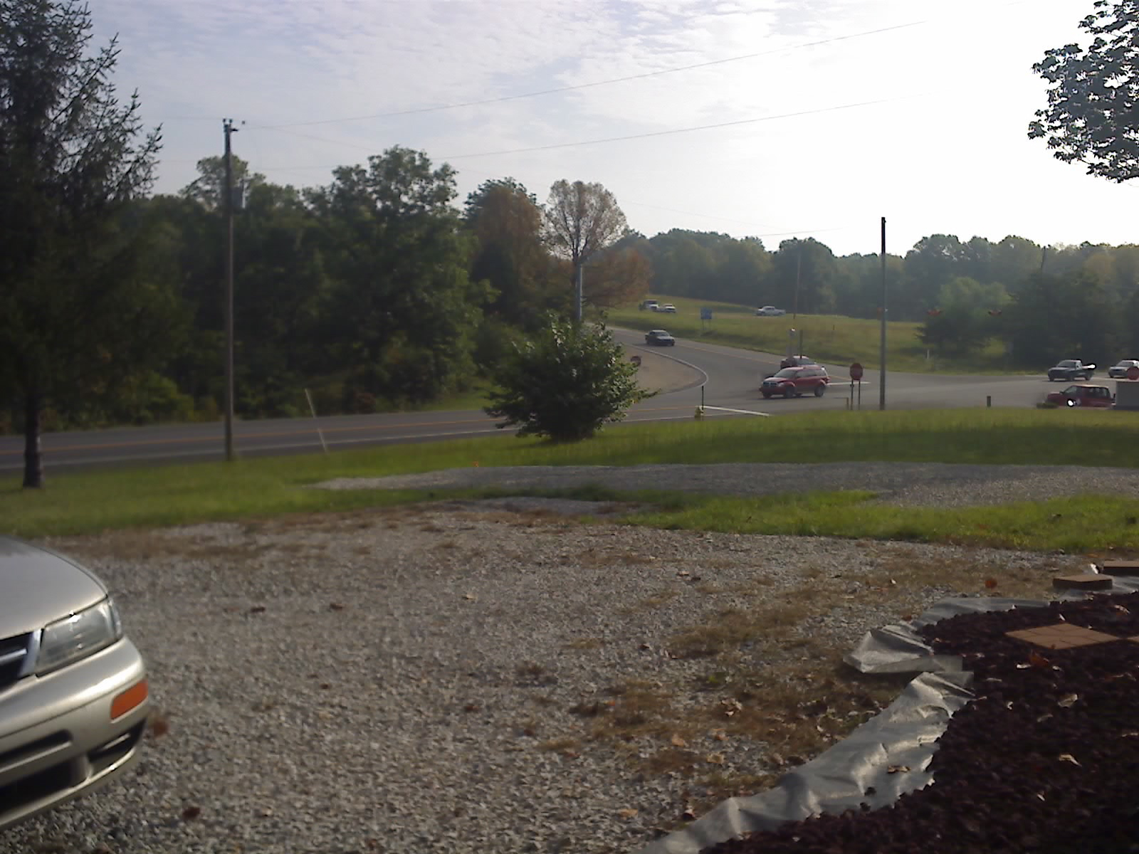
View From Intersection 3
View From Intersection 2
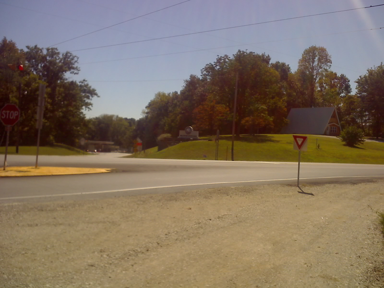
View From Intersection 1
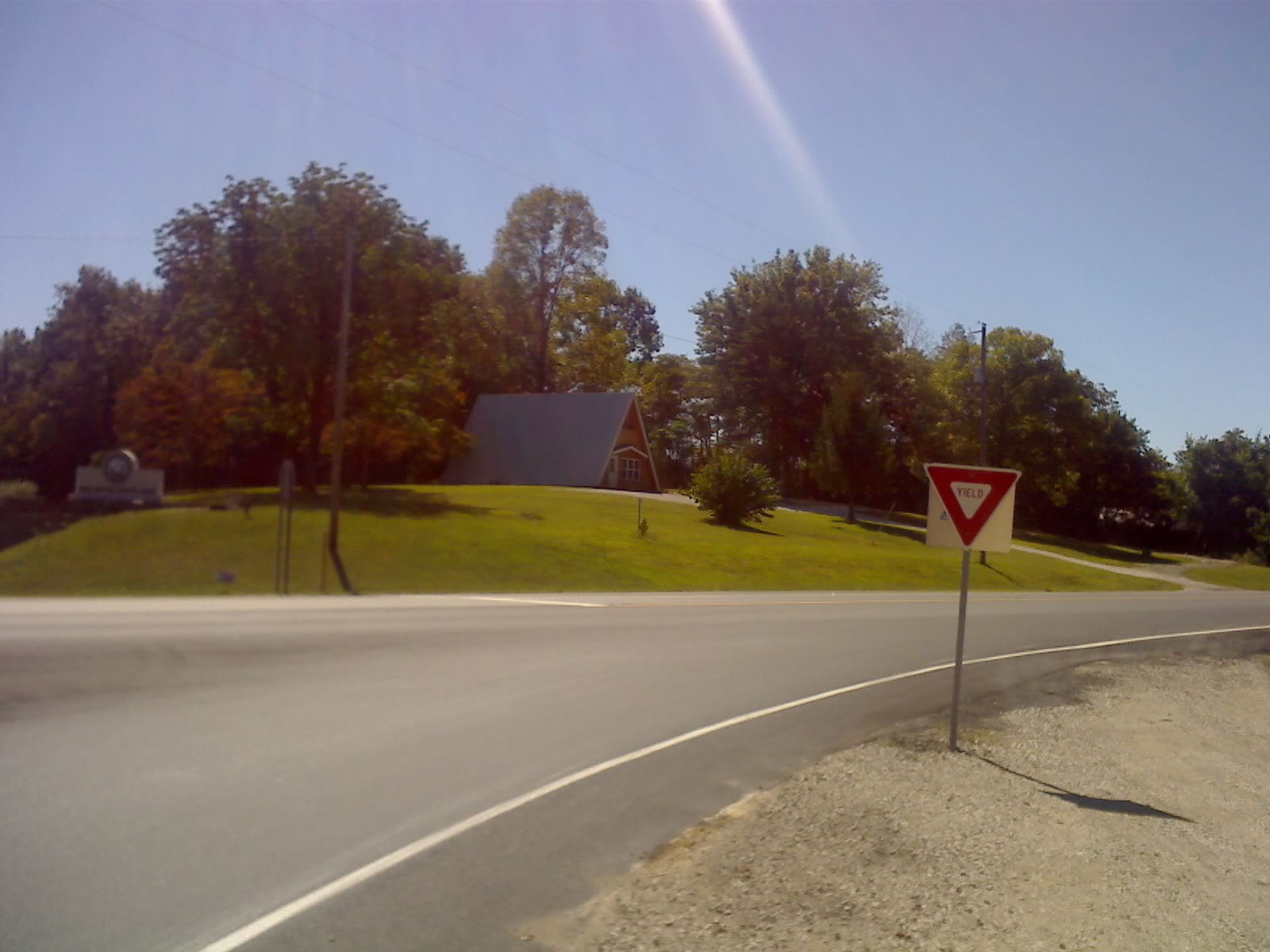
View From Front Door
View Front Looking Toward Intersection
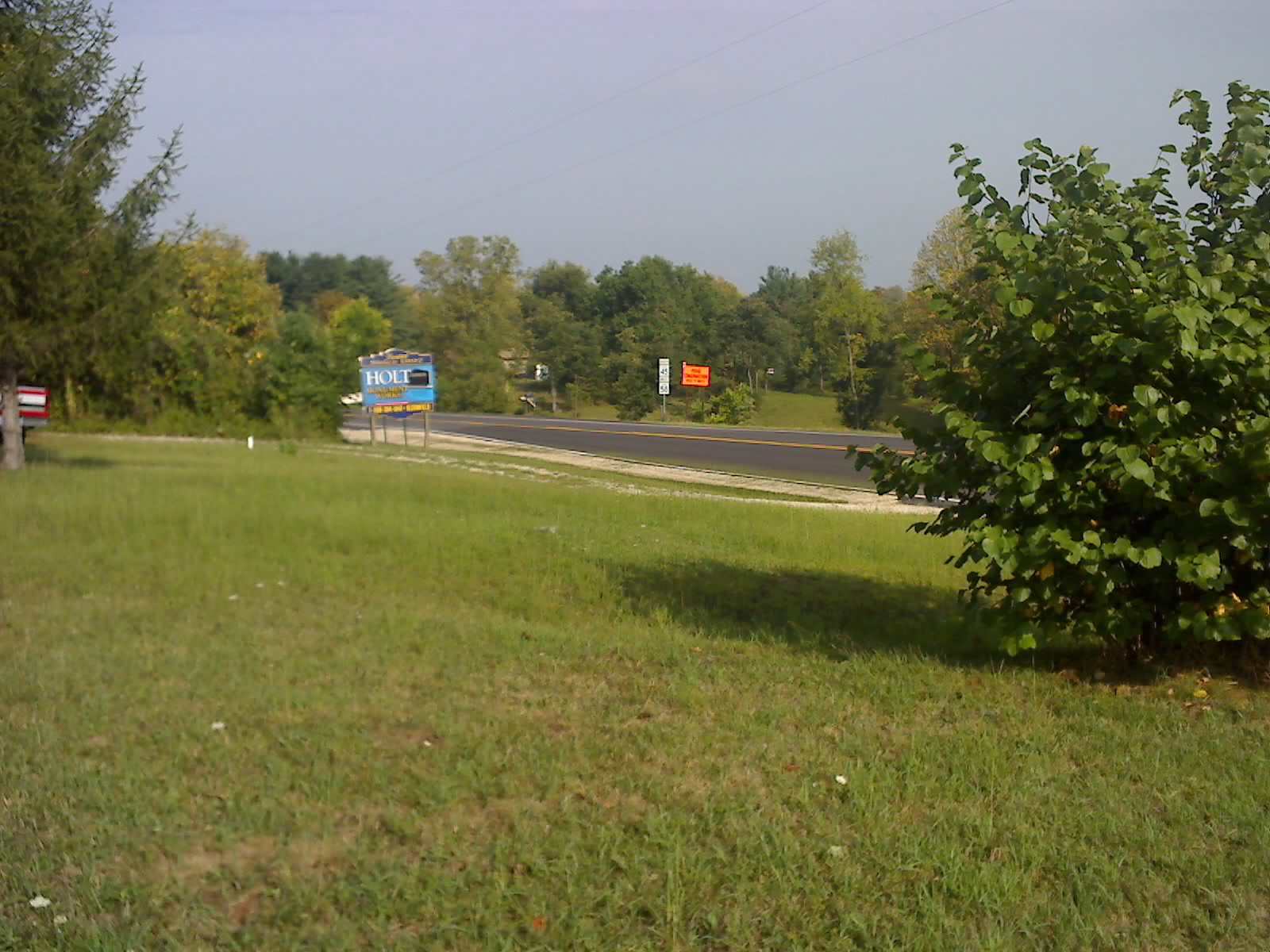
View From Property Looking Away From Intersection
IMG_1296[1]
7/52

IMG_1250[1]
IMG_1246[1]
IMG_1248[1]
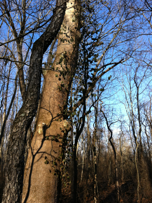
Tree on Hillside
IMG_1247[1]
Golden Cedars
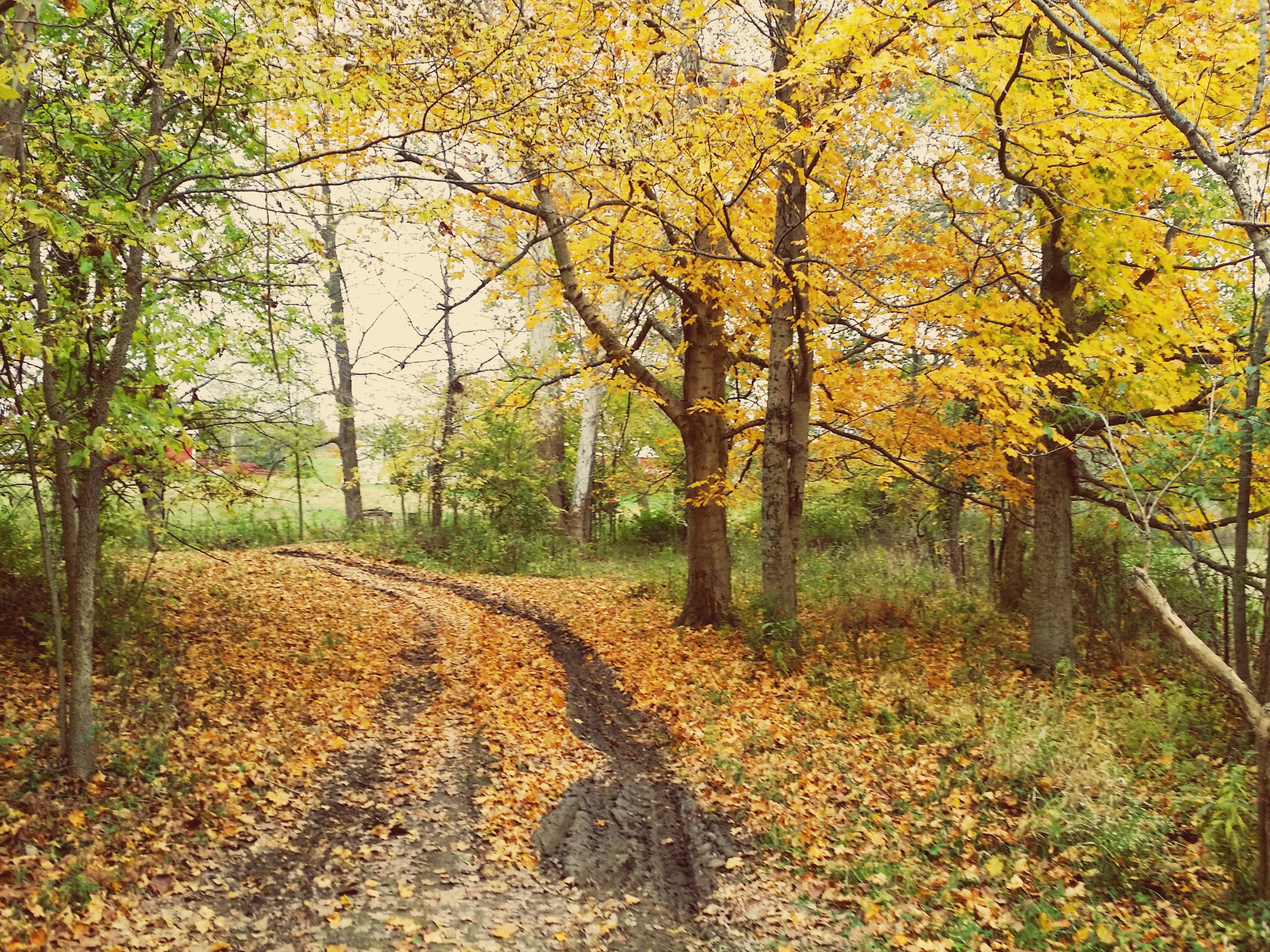
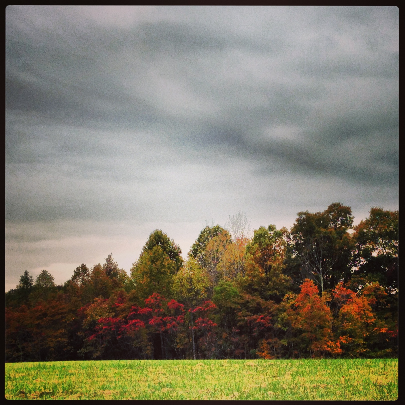
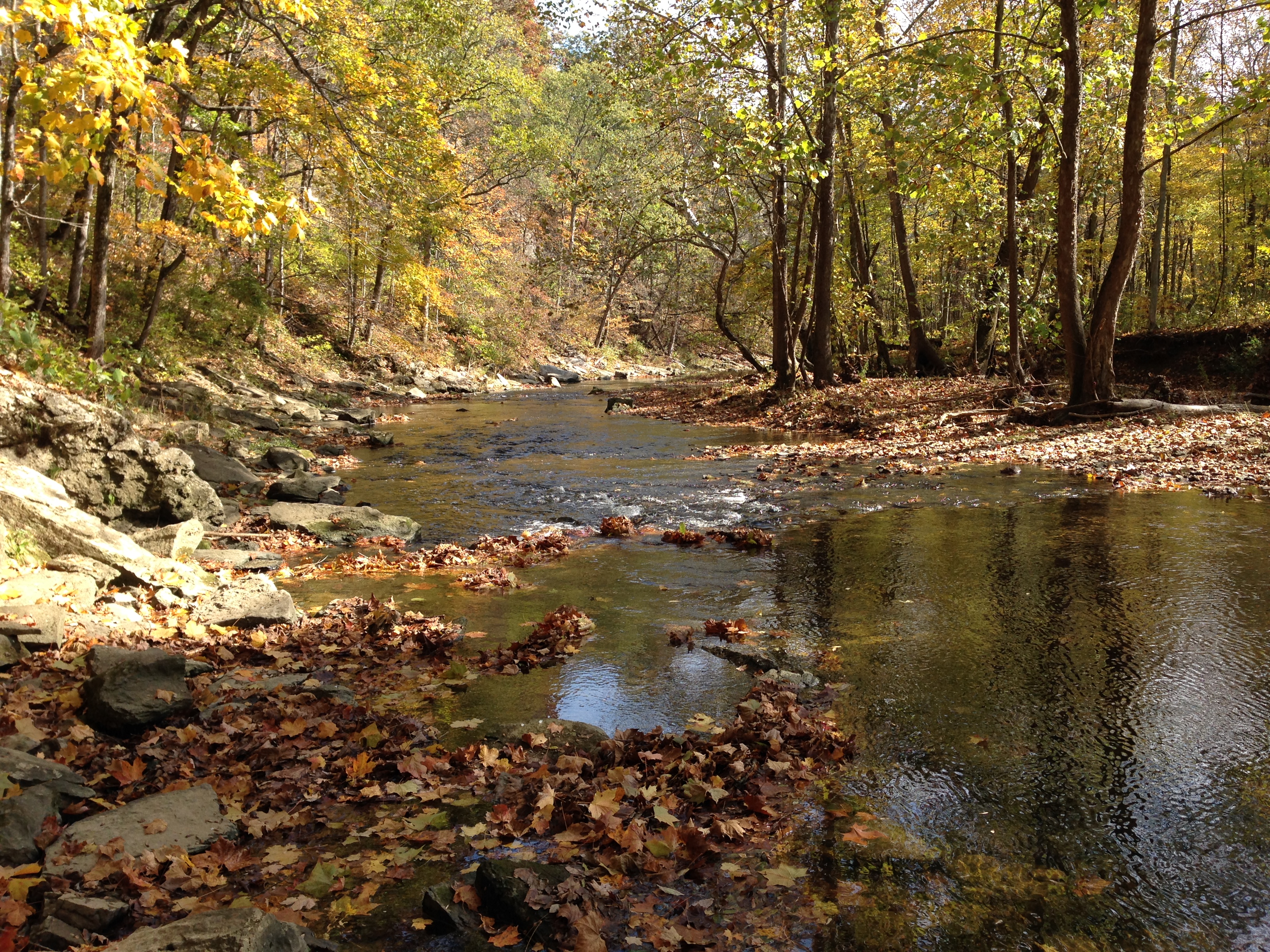
Fall!!

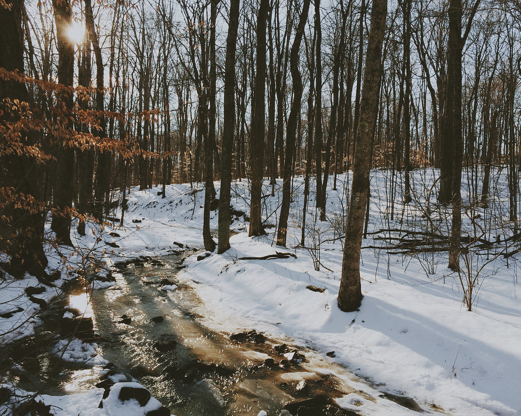
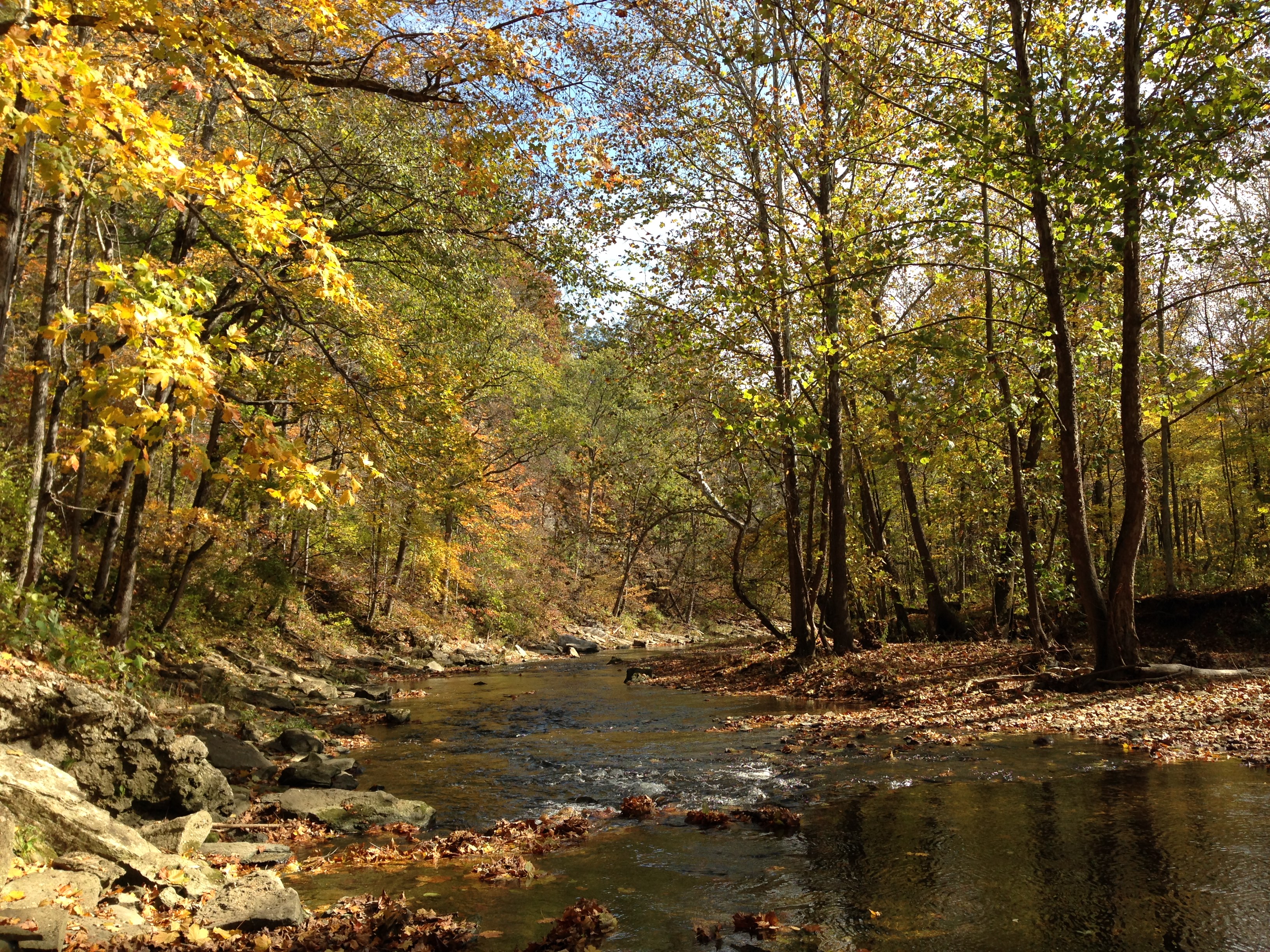
Intermittent creek near Cedar Bluff

Empire Quarry - Bedford, Indiana

IMG00009-20100710-1357.jpg
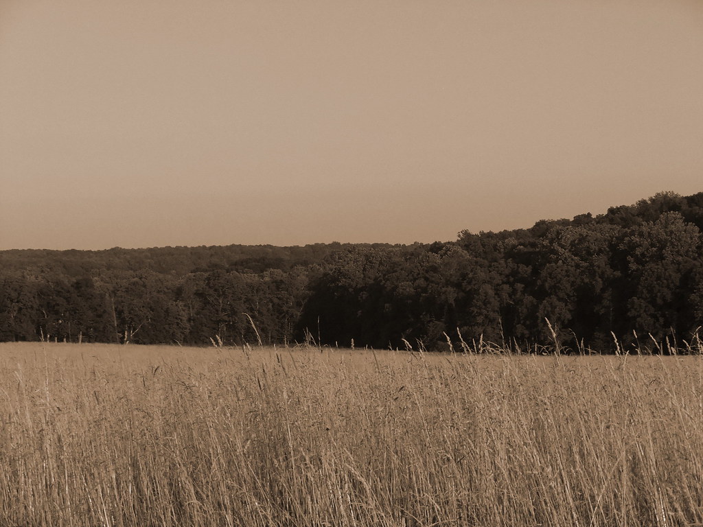
DSCF5155 sepia
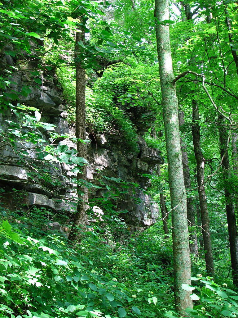
Cedar Bluff
Winter creeper
Topographic Map of Popcorn Church Rd, Springville, IN, USA
Find elevation by address:

Places near Popcorn Church Rd, Springville, IN, USA:
Perry Township
Springville
E Burnett Ln, Springville, IN, USA
Red Hill Addition, Springville, IN, USA
Owensburg
E Main St, Owensburg, IN, USA
8356 E Dobson Rd
Jackson Township
88 Trogdon Ln
Indian Creek Township
S Harrodsburg Rd, Bloomington, IN, USA
Harrodsburg
Old State Rd 37 N, Bedford, IN, USA
Avoca
Bridwell St, Avoca, IN, USA
IN-, Bedford, IN, USA
Trogdon Ln, Bedford, IN, USA
Marshall Township
Patton Hill Rd, Bedford, IN, USA
IN-, Bedford, IN, USA
Recent Searches:
- Elevation of Tater Hill, Oklahoma, USA
- Elevation of NY-, Friendship, NY, USA
- Elevation of 64 Danakas Dr, Winnipeg, MB R2C 5N7, Canada
- Elevation of 4 Vale Rd, Sheffield S3 9QX, UK
- Elevation of Keene Point Drive, Keene Point Dr, Grant, AL, USA
- Elevation of State St, Zanesville, OH, USA
- Elevation of Austin Stone Dr, Haslet, TX, USA
- Elevation of Bydgoszcz, Poland
- Elevation of Bydgoszcz, Poland
- Elevation of Calais Dr, Del Mar, CA, USA