Elevation of Pond Branch Rd, Buena Vista, TN, USA
Location: United States > Tennessee > Carroll County > Buena Vista >
Longitude: -88.239211
Latitude: 35.960267
Elevation: 169m / 554feet
Barometric Pressure: 99KPa
Elevation Map:
Satellite Map:
Related Photos:
Cabin View

Spring sky

Beautiful Vista
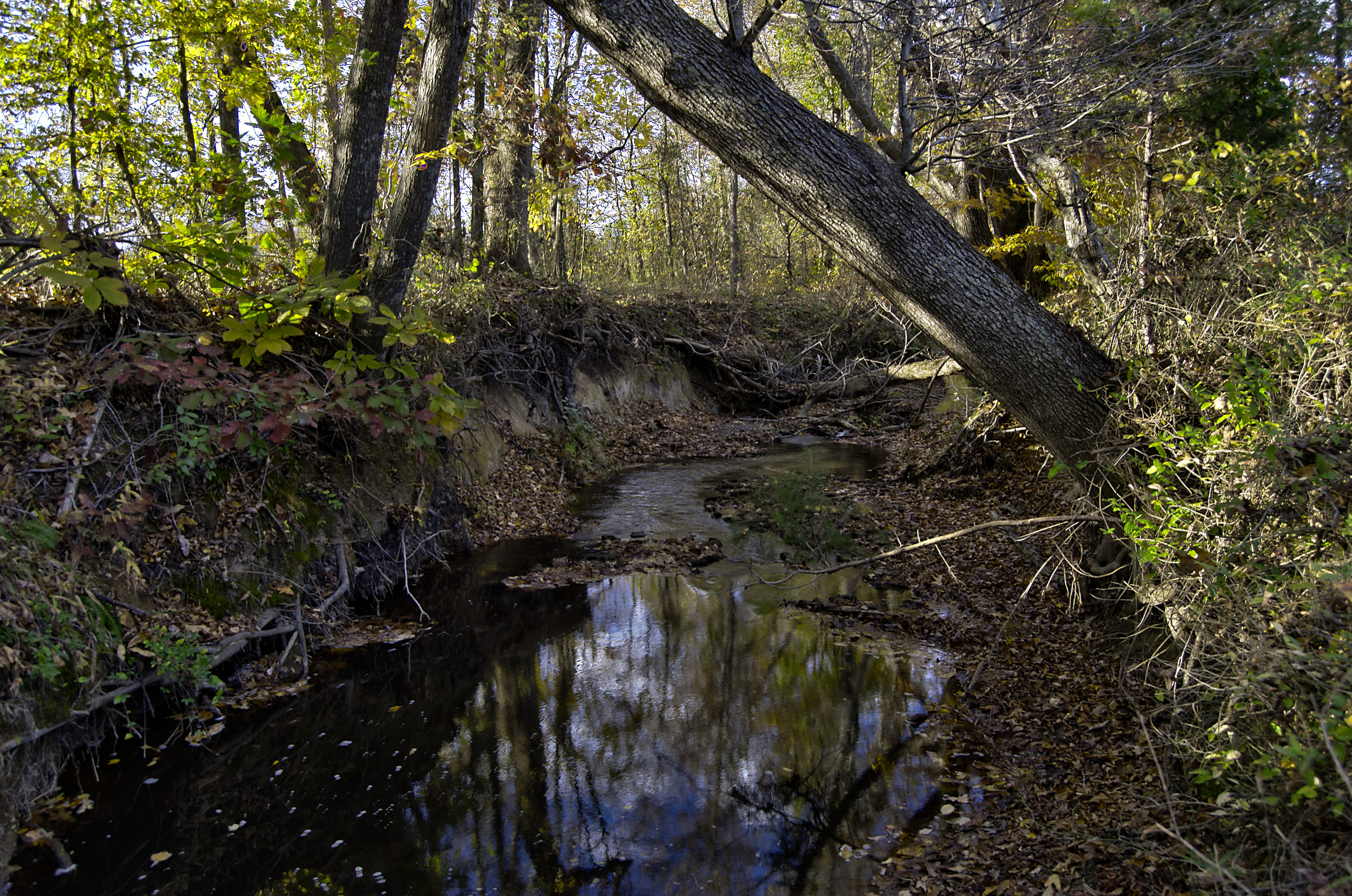
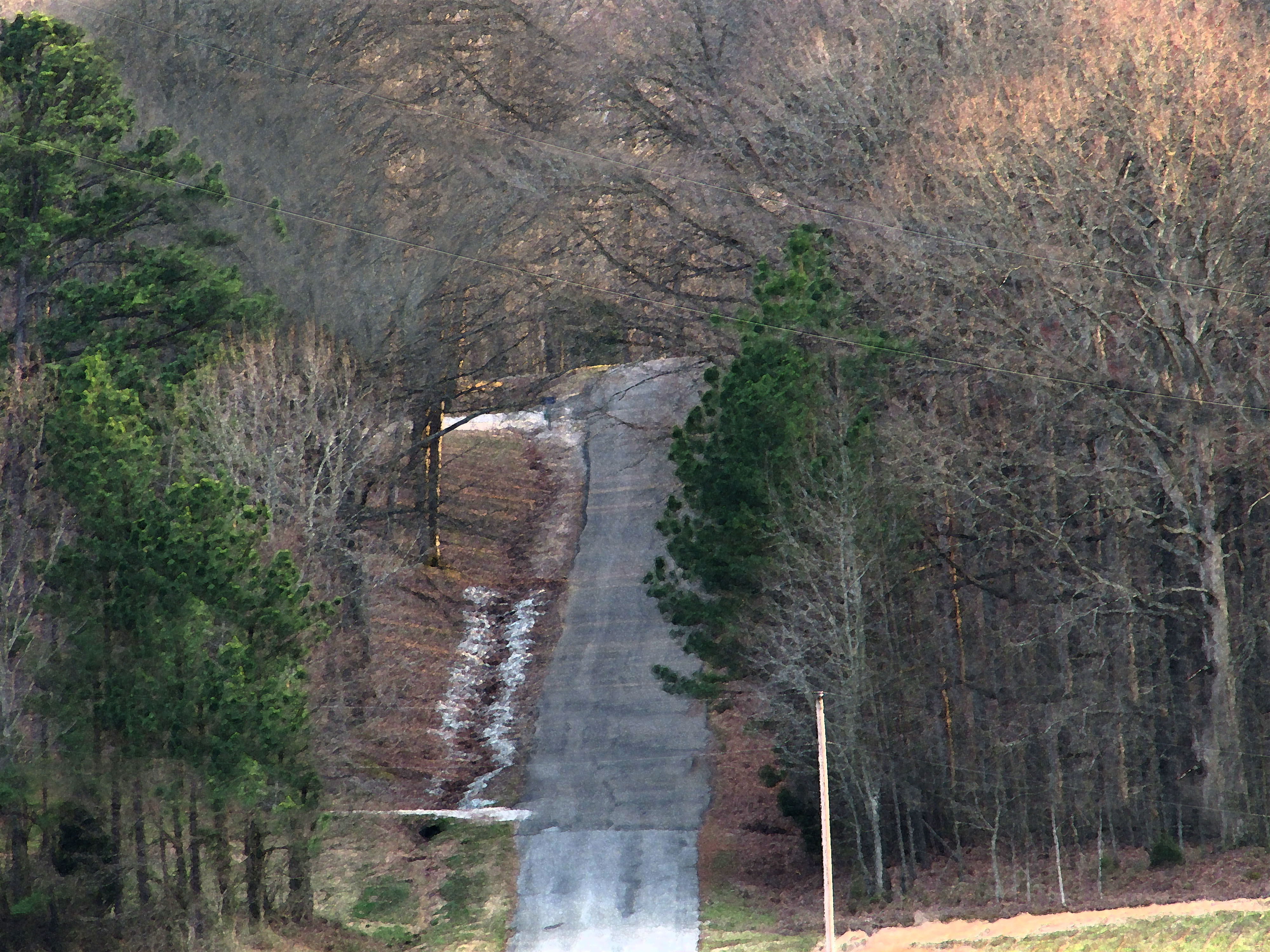
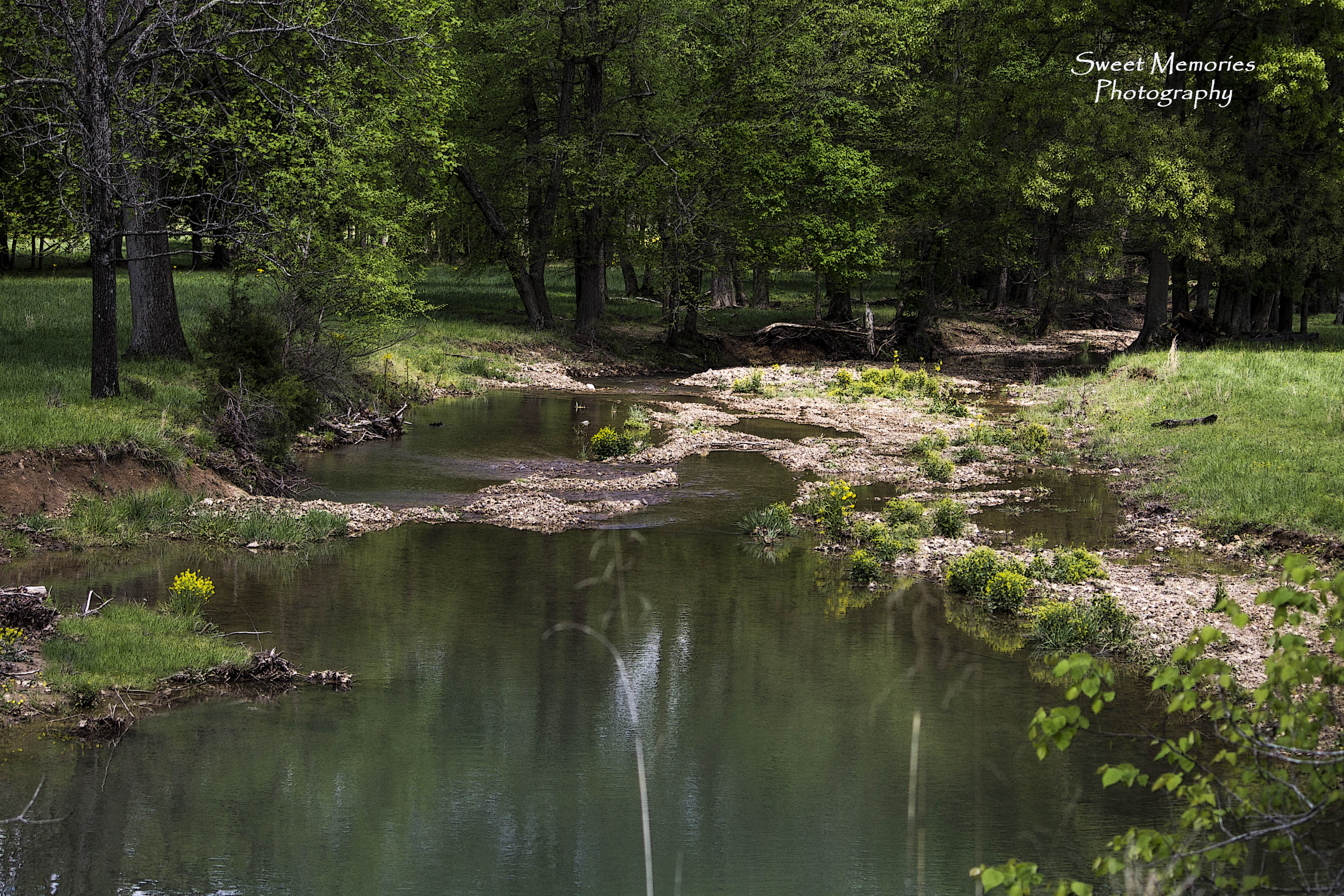
Stream-HDR
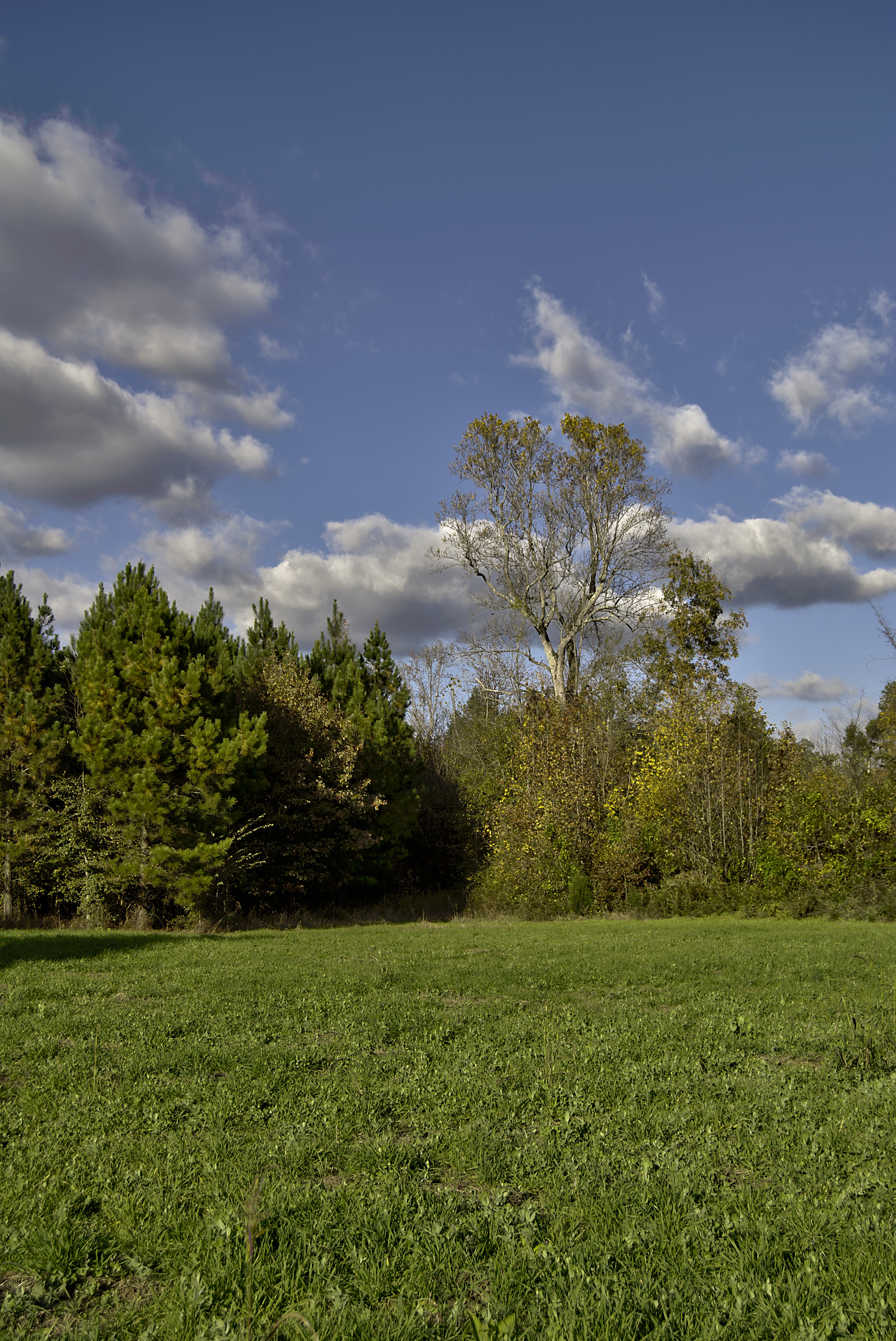
Clearing-HDR
Patsy Cline Plane Crash Site - Camden, Tennessee
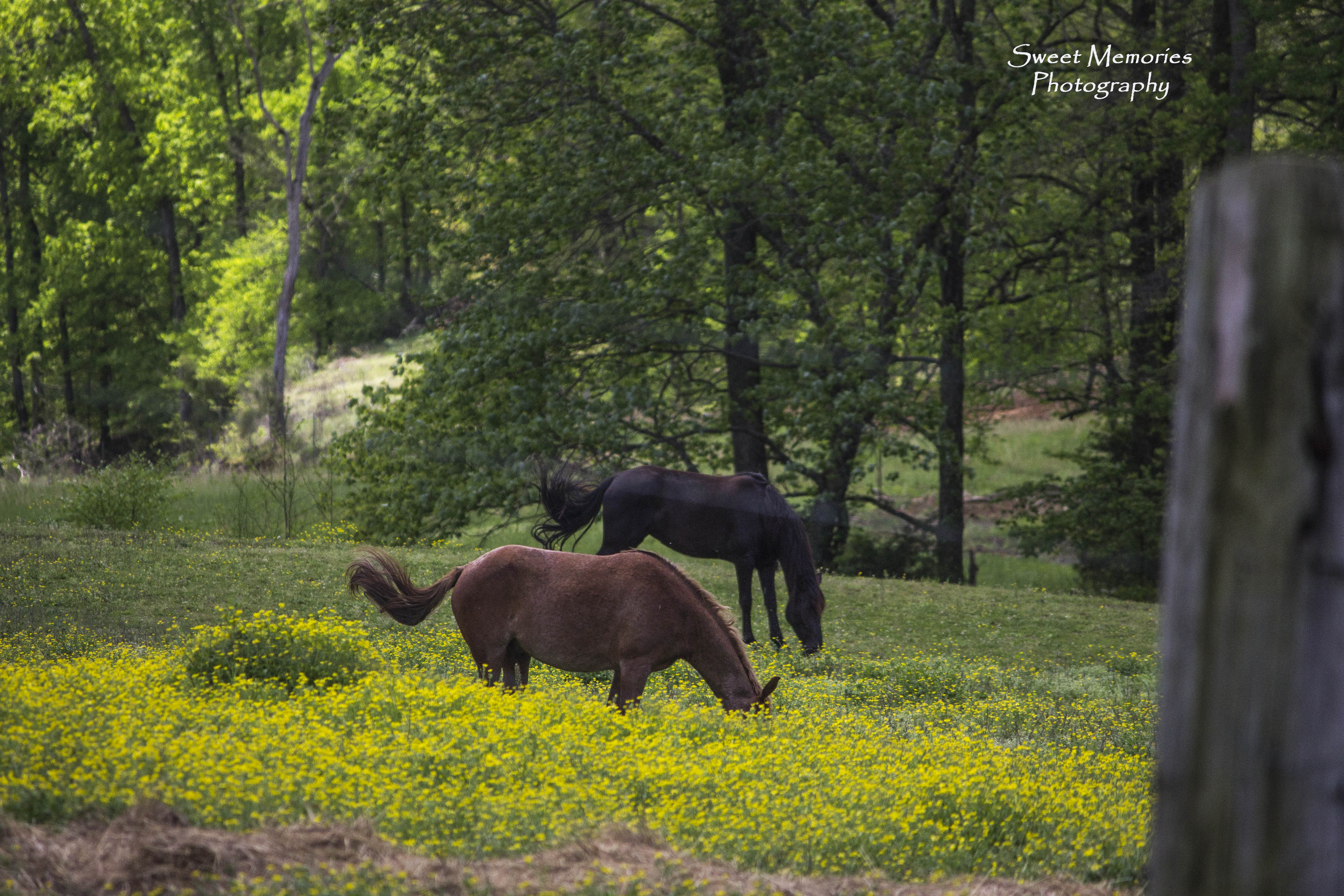
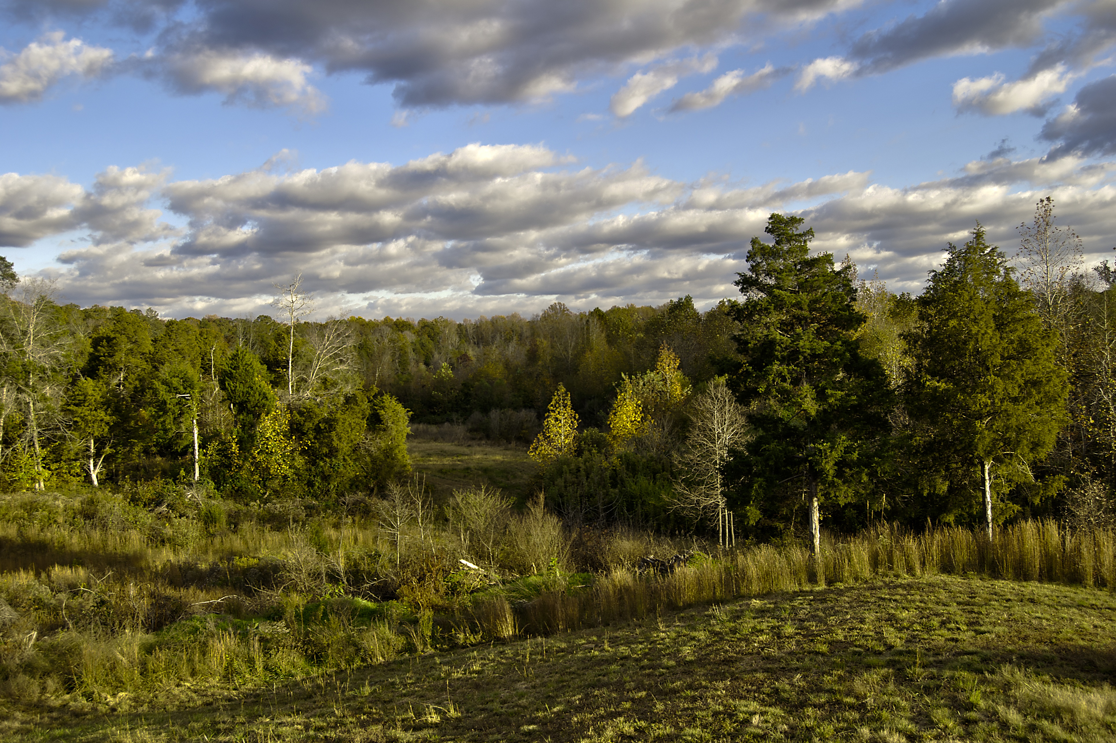
Beautiful Pasture
Old Nashville Highway

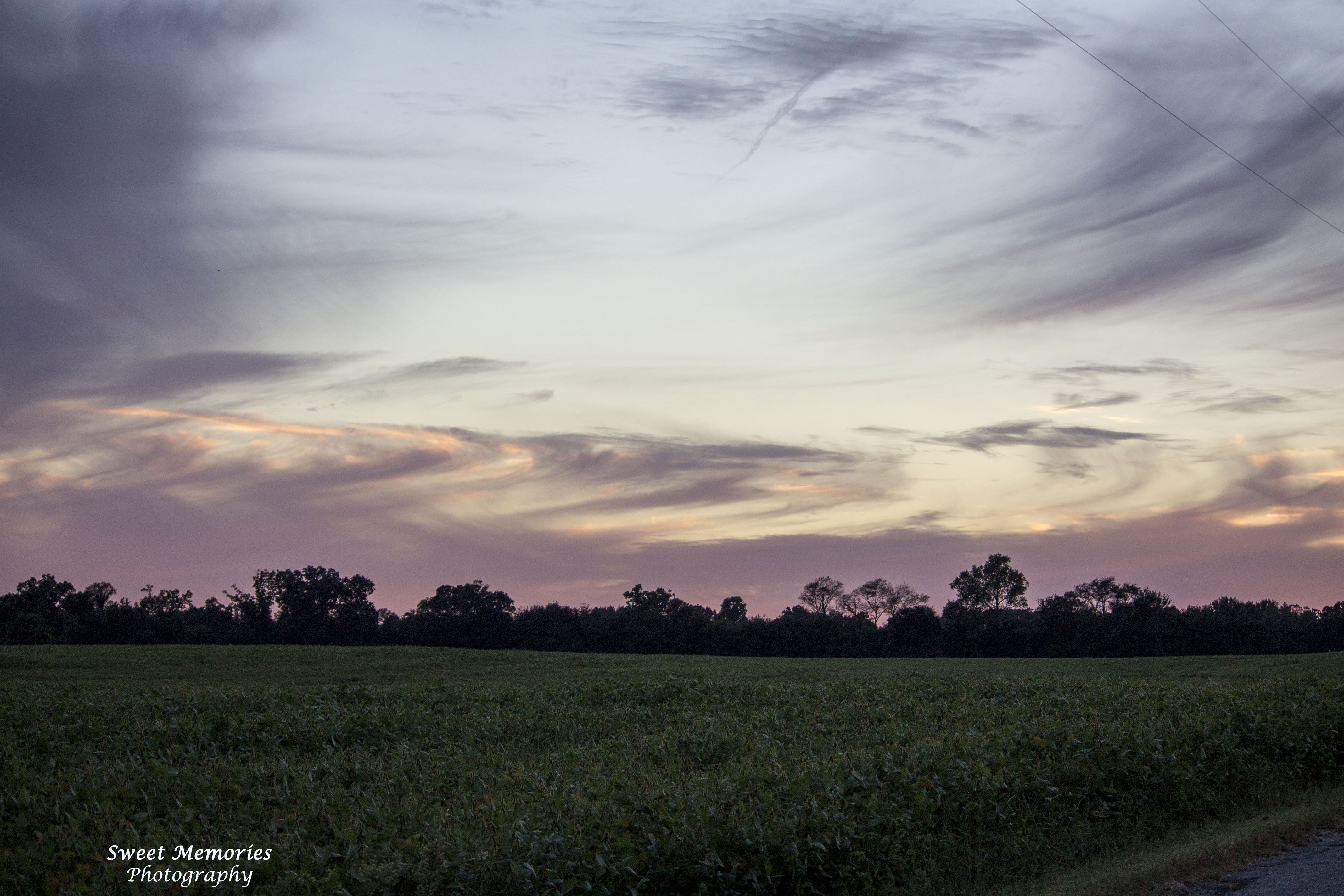
Painted Sky
Lavender Fields
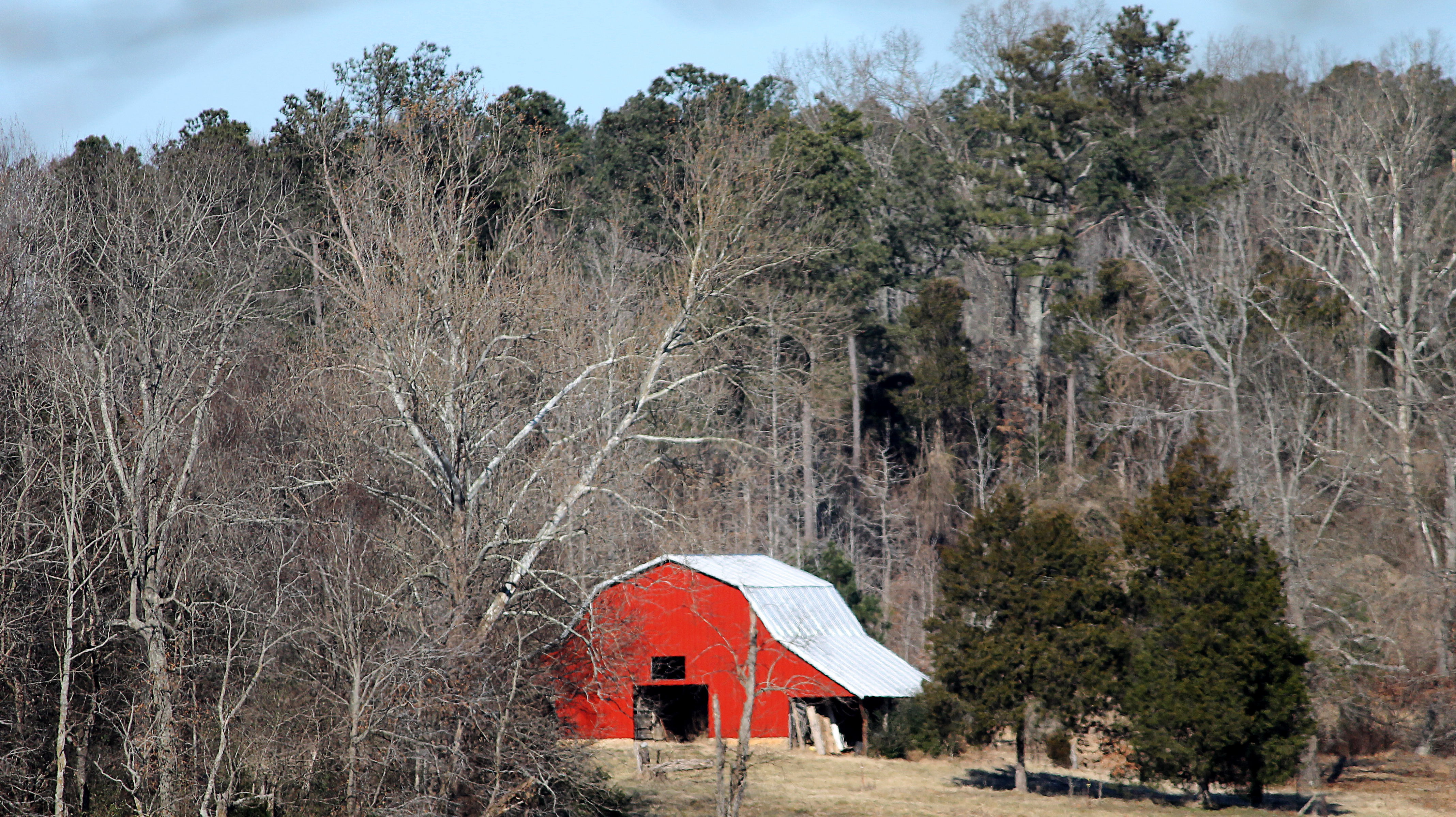
Week 7 - Red

Sunbeams from heaven

God's Brush Strokes
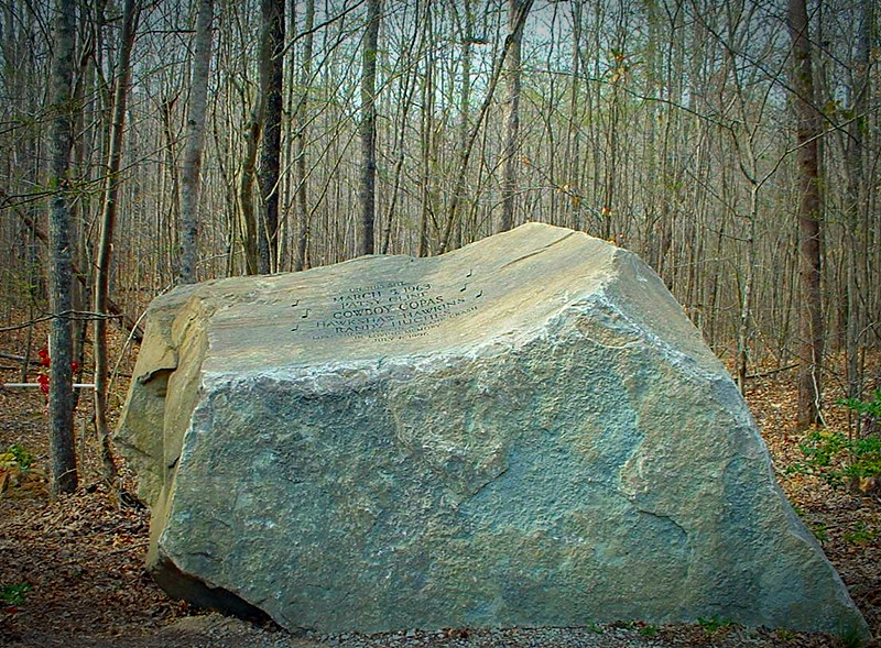
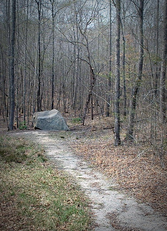
Cline Memorial Rock
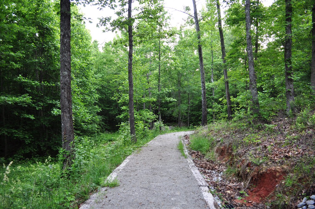
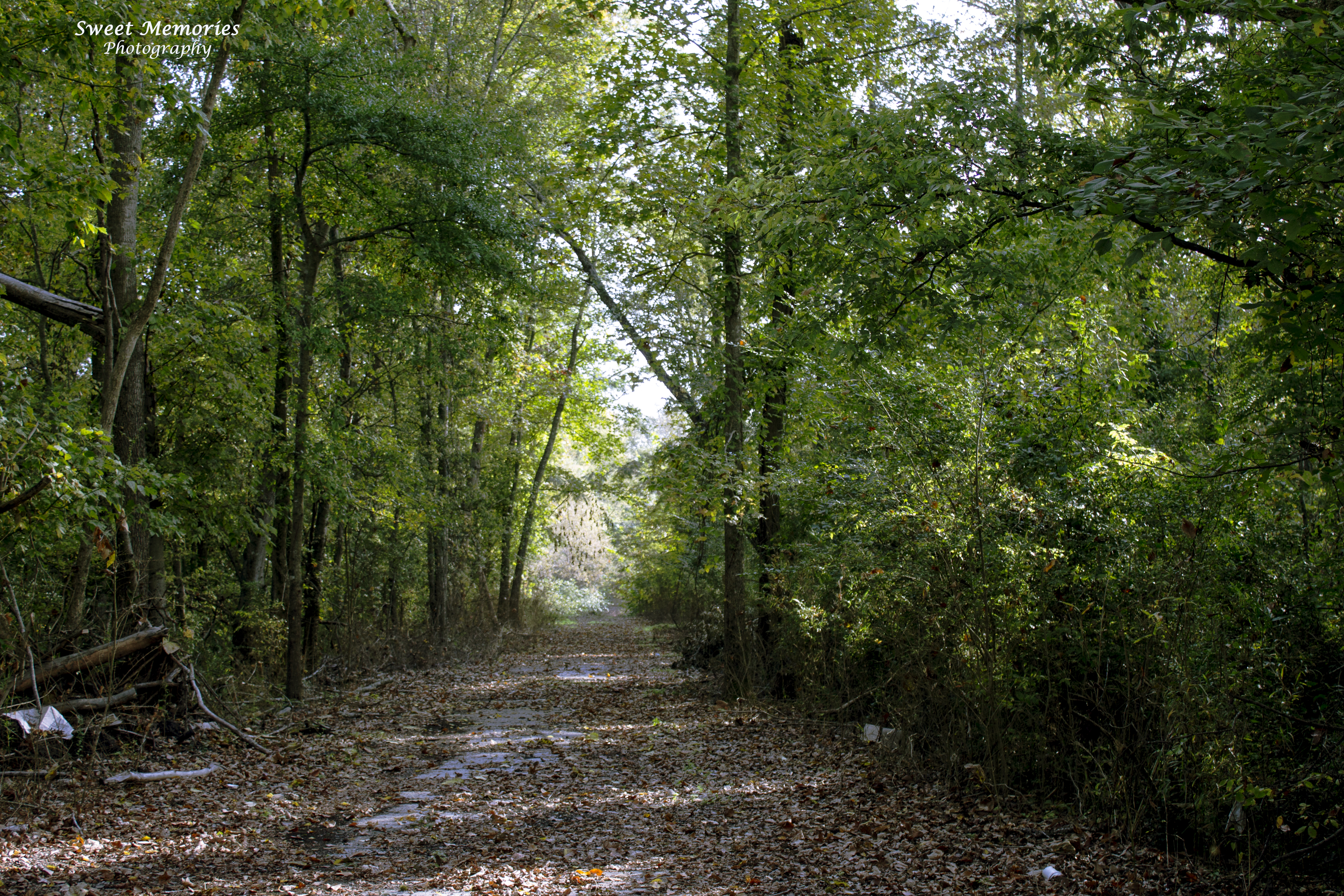
Tunnel of trees - winter
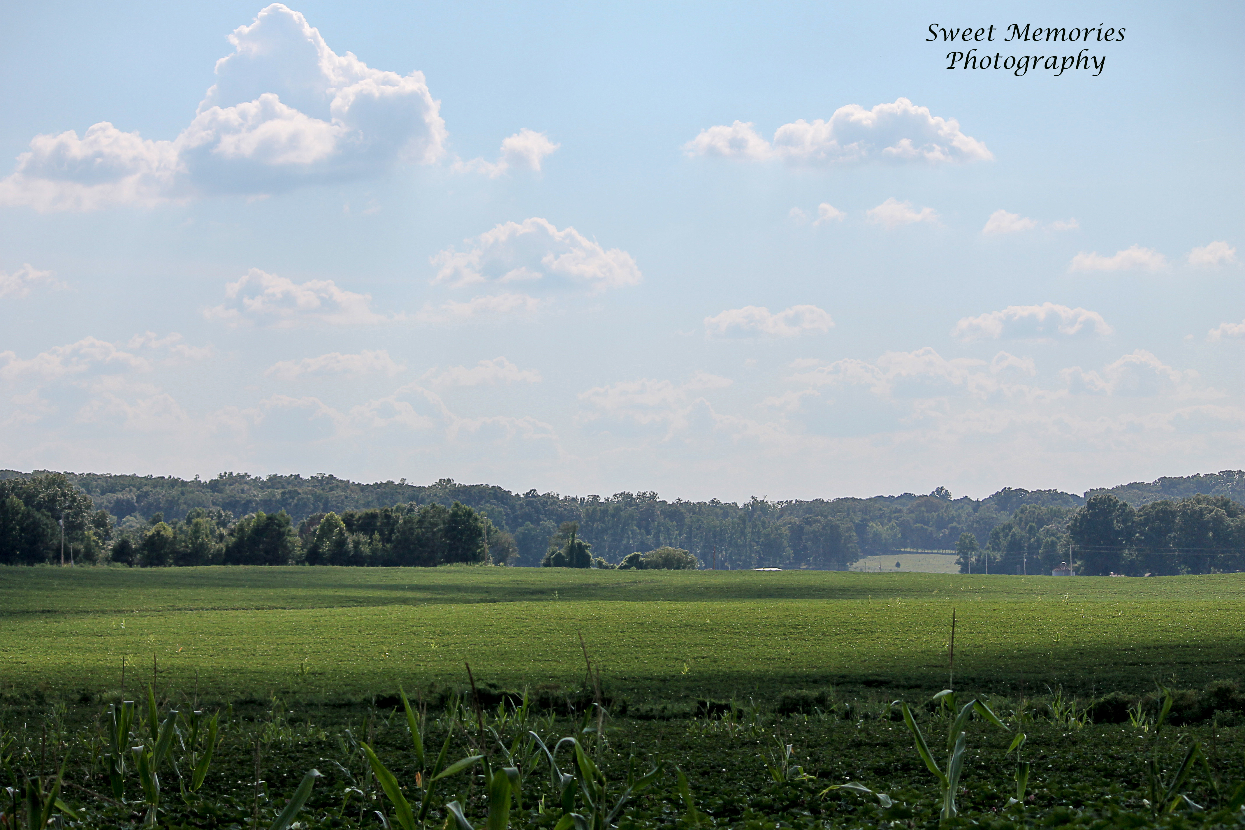
Across the Valley
Patsy Cline Memorial

Another Road Less Traveled
Caney Branch

Sun-kissed Lilies
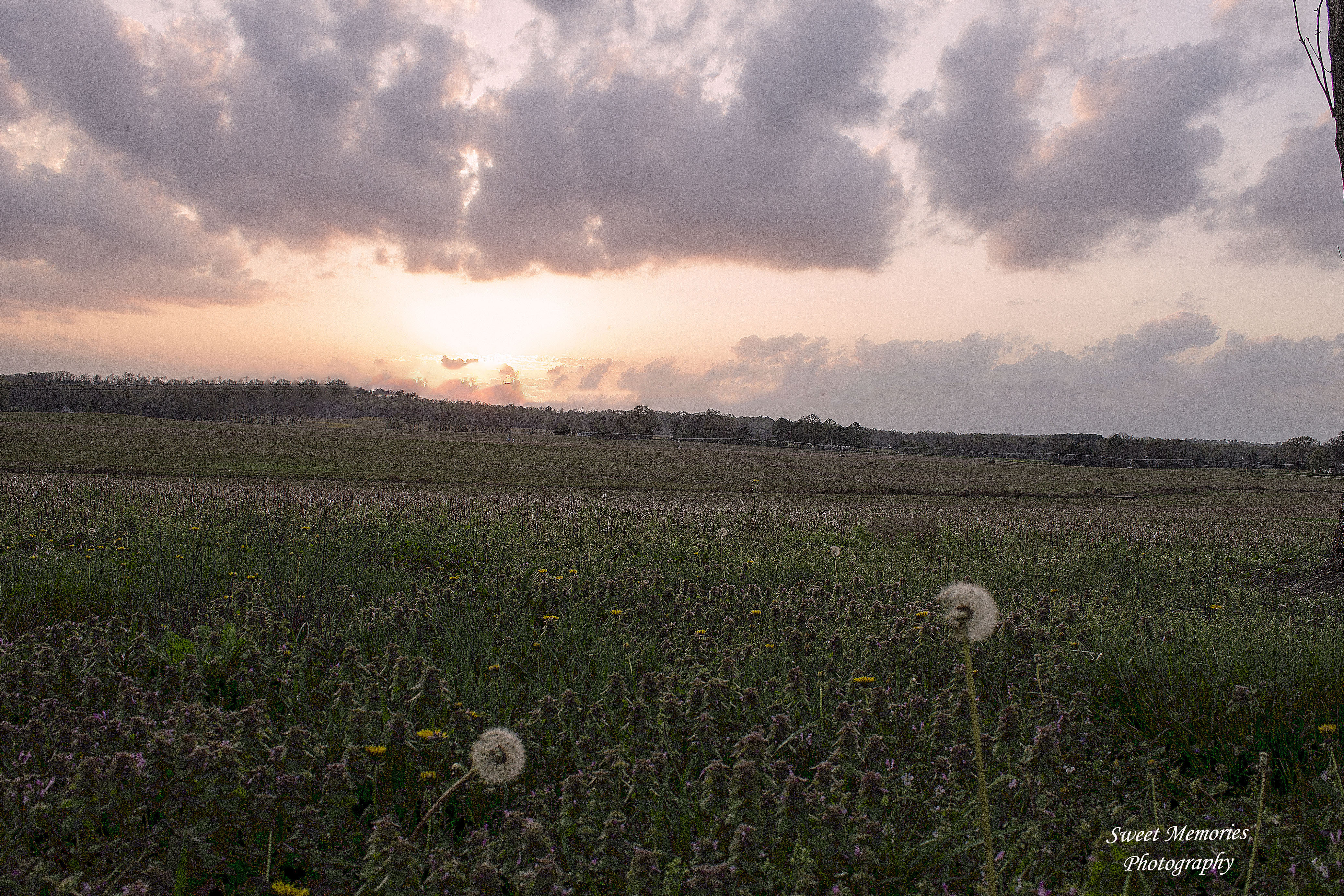
Looking Across the Dandelions

Spring Reflection

Summer Flowers
Topographic Map of Pond Branch Rd, Buena Vista, TN, USA
Find elevation by address:

Places near Pond Branch Rd, Buena Vista, TN, USA:
Dollar Rd, Buena Vista, TN, USA
Buena Vista
Bruceton
40 Cole Rd, Camden, TN, USA
2430 Old Natchez Trace Trail
Westport
Round Top
782 Gobbler Dr
783 Gobbler Dr
4295 Kelly Rd
Stokes Rd, Holladay, TN, USA
Holladay
4764 Tn-1
TN-, Bruceton, TN, USA
Yuma
Post Oak Rd, Camden, TN, USA
Carroll County
159 Woodland Dr
W Lake St, Camden, TN, USA
Camden
Recent Searches:
- Elevation of Corso Fratelli Cairoli, 35, Macerata MC, Italy
- Elevation of Tallevast Rd, Sarasota, FL, USA
- Elevation of 4th St E, Sonoma, CA, USA
- Elevation of Black Hollow Rd, Pennsdale, PA, USA
- Elevation of Oakland Ave, Williamsport, PA, USA
- Elevation of Pedrógão Grande, Portugal
- Elevation of Klee Dr, Martinsburg, WV, USA
- Elevation of Via Roma, Pieranica CR, Italy
- Elevation of Tavkvetili Mountain, Georgia
- Elevation of Hartfords Bluff Cir, Mt Pleasant, SC, USA