Elevation of Police station (Dordabis), Dordabis, Central Namibia, Namibia, Dordabis, Namibia
Location: Namibia > Khomas Region > Dordabis >
Longitude: 17.66006
Latitude: -22.94829
Elevation: 1498m / 4915feet
Barometric Pressure: 85KPa
Elevation Map:
Satellite Map:
Related Photos:
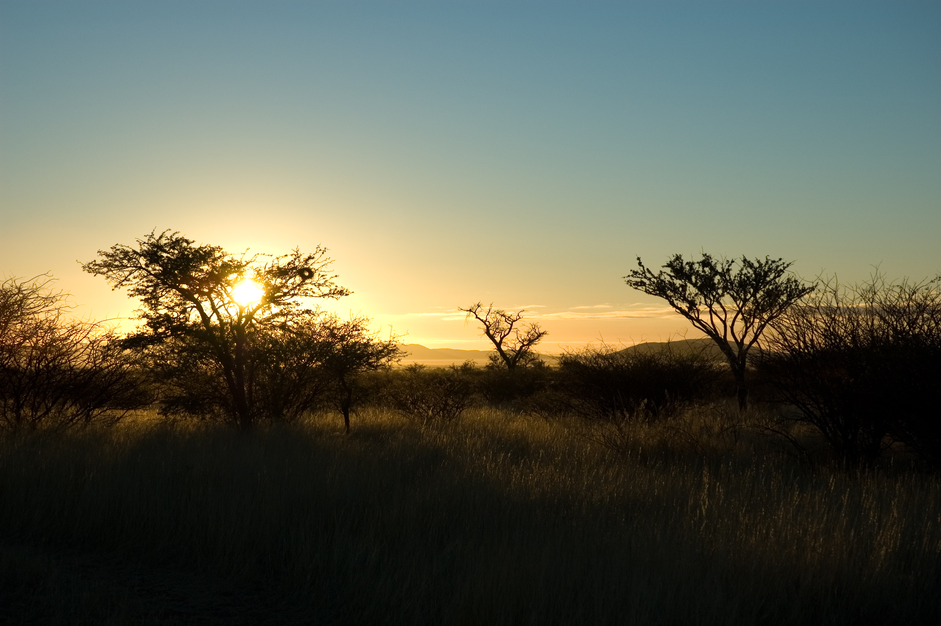
Autabib sunrise

cheetah 3
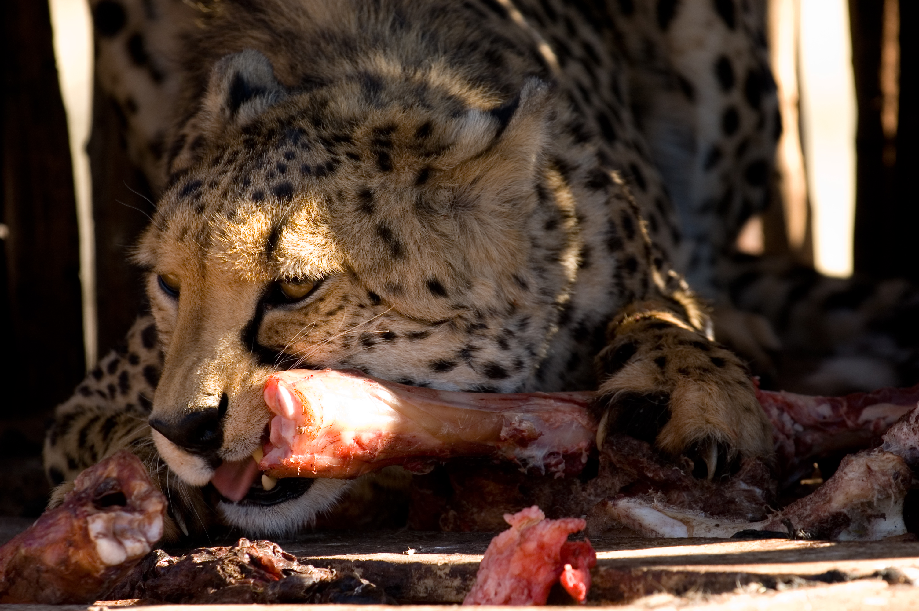
cheetah 2
cheetah tug-of-war 2

cheetah 4
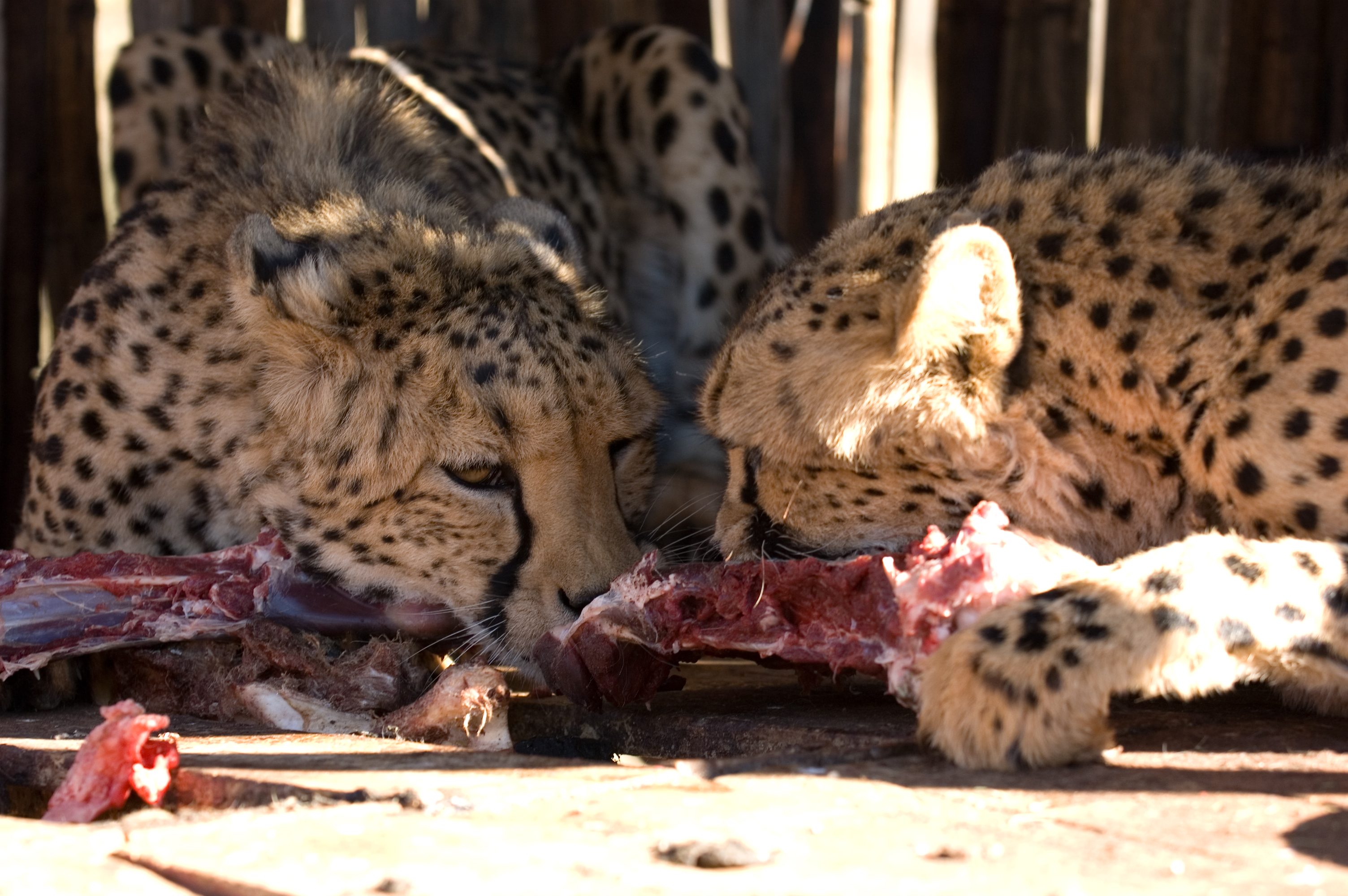
cheetahs eating
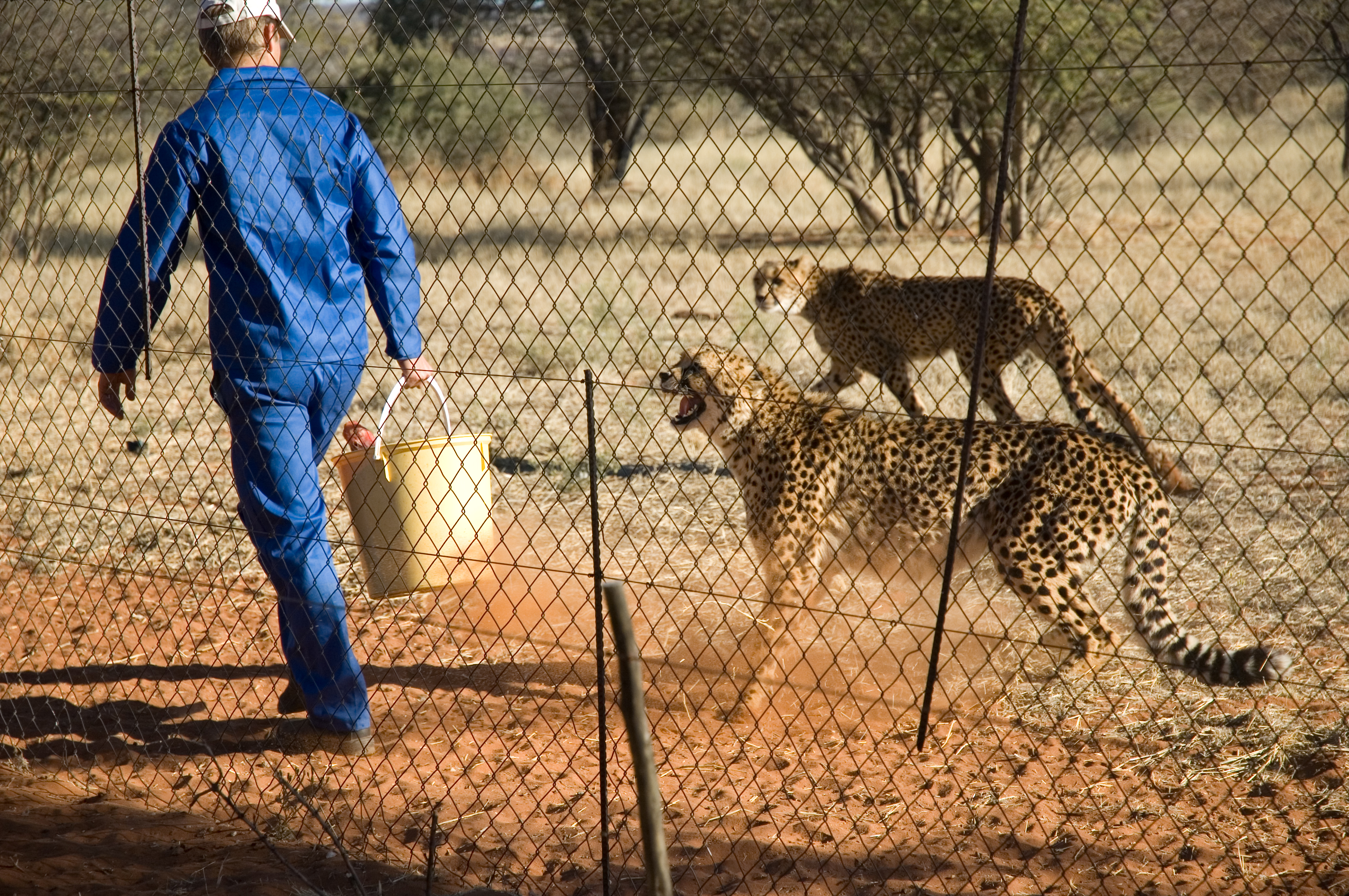
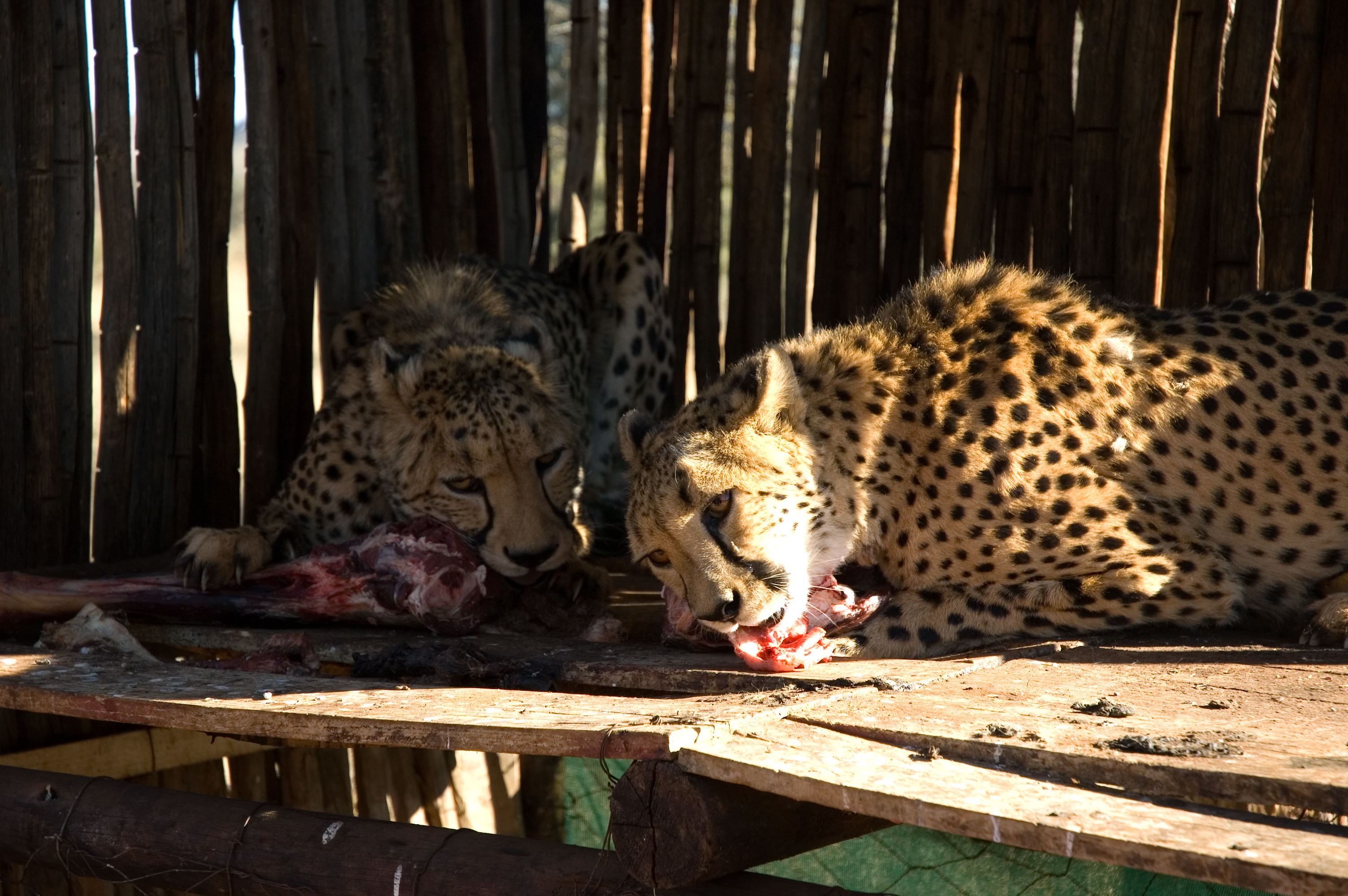
Feeding time
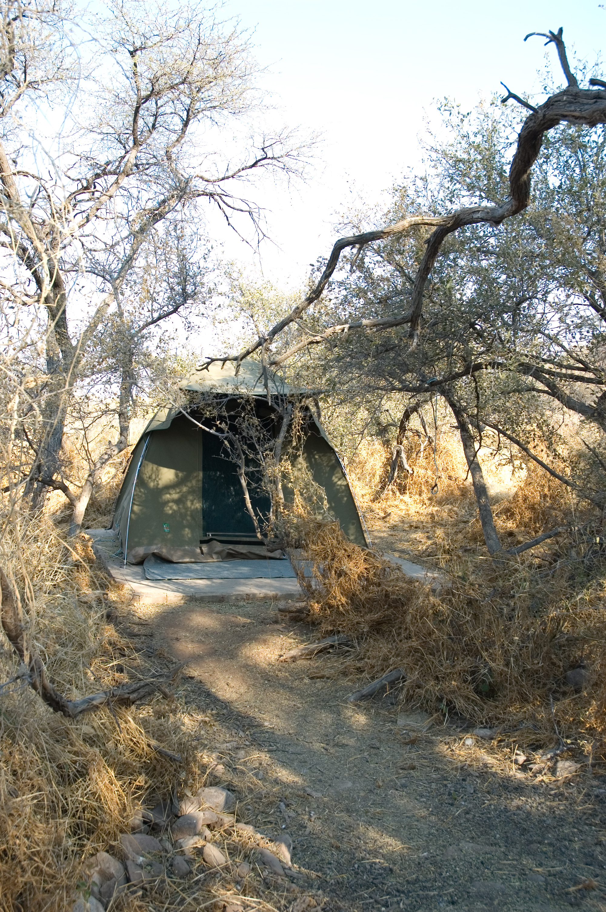
Our first tent at Autabib Farm
Topographic Map of Police station (Dordabis), Dordabis, Central Namibia, Namibia, Dordabis, Namibia
Find elevation by address:

Places near Police station (Dordabis), Dordabis, Central Namibia, Namibia, Dordabis, Namibia:
Dordabis
Bergland
Bobo Campers Namibia
Khomas Region
Windhoek Mountain Lodge
Windhoek
Katutura Hospital
Khomasdal
Pack Safari
Krisante Street
Lafrenz Industrial
Tsumis
Recent Searches:
- Elevation of 30 Oak Lawn Dr, Barkhamsted, CT, USA
- Elevation of Luther Road, Luther Rd, Auburn, CA, USA
- Elevation of Unnamed Road, Respublika Severnaya Osetiya — Alaniya, Russia
- Elevation of Verkhny Fiagdon, North Ossetia–Alania Republic, Russia
- Elevation of F. Viola Hiway, San Rafael, Bulacan, Philippines
- Elevation of Herbage Dr, Gulfport, MS, USA
- Elevation of Lilac Cir, Haldimand, ON N3W 2G9, Canada
- Elevation of Harrod Branch Road, Harrod Branch Rd, Kentucky, USA
- Elevation of Wyndham Grand Barbados Sam Lords Castle All Inclusive Resort, End of Belair Road, Long Bay, Bridgetown Barbados
- Elevation of Iga Trl, Maggie Valley, NC, USA