Elevation of Point Michaud Rd, Grand River, NS B0E 1M0, Canada
Location: Canada > Nova Scotia > Richmond County > Richmond, Subd. B > Grand River >
Longitude: -60.661626
Latitude: 45.594326
Elevation: 14m / 46feet
Barometric Pressure: 101KPa
Elevation Map:
Satellite Map:
Related Photos:
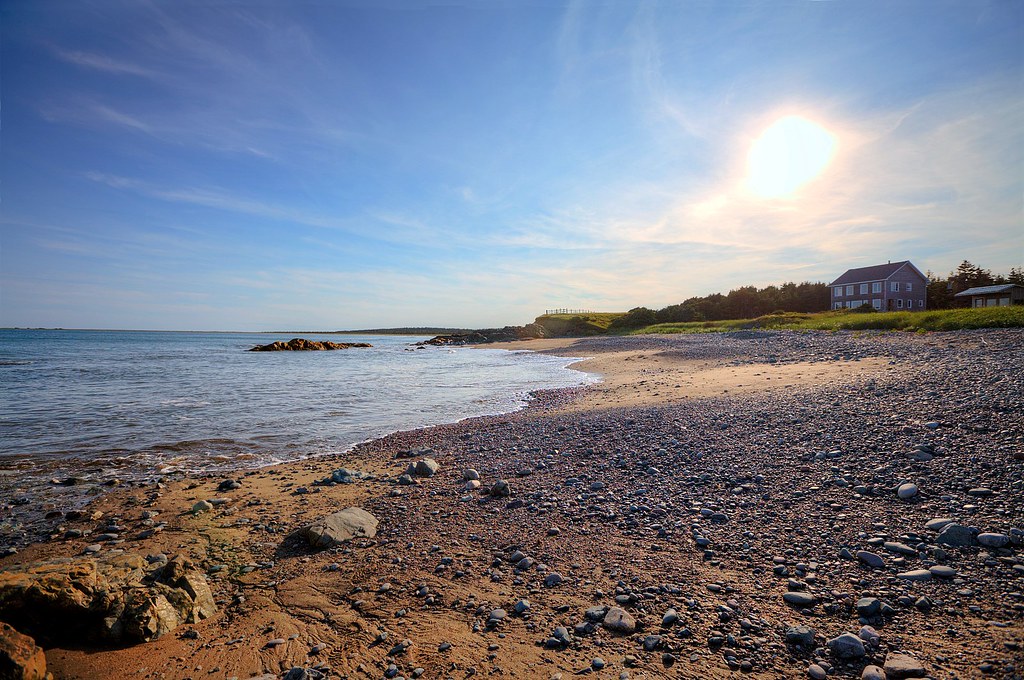
Point Michaud Beach House

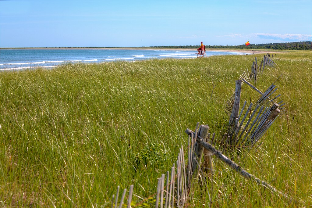
Cape Breton Beach View
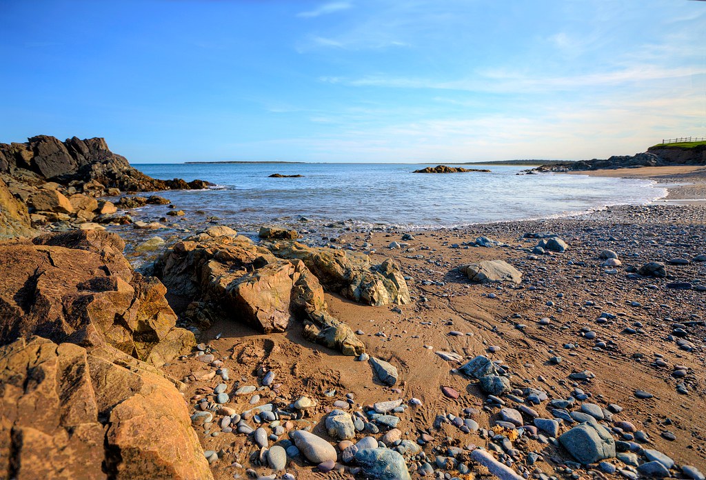
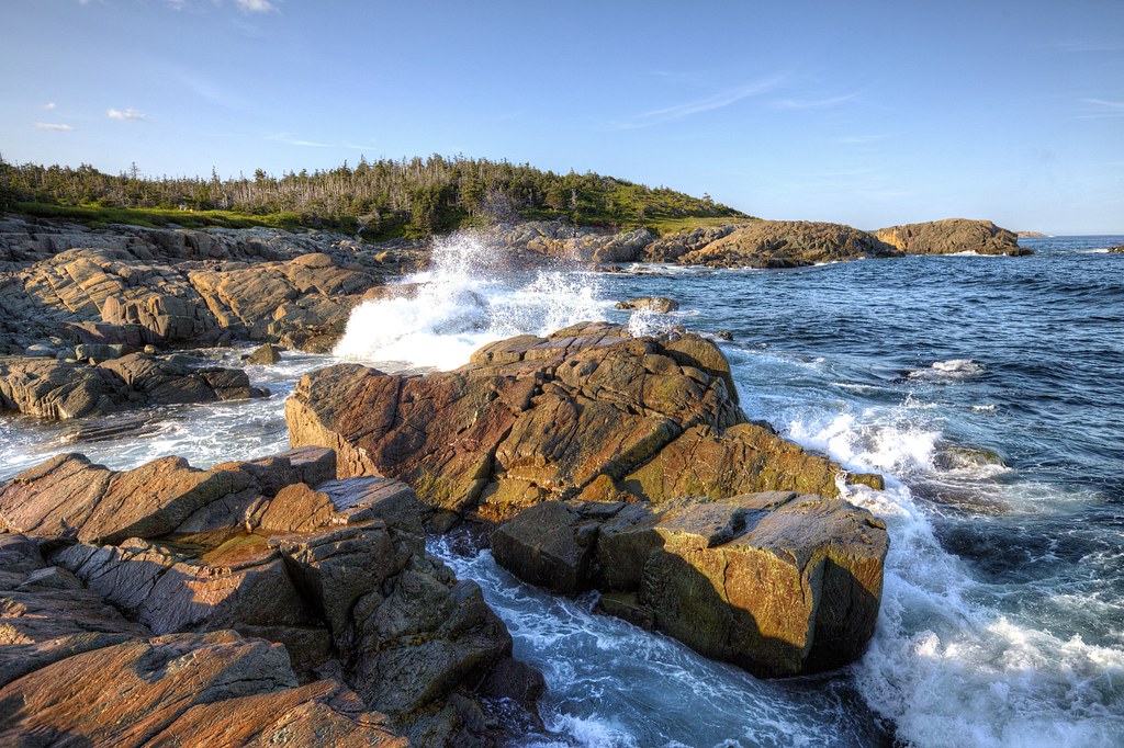
Point Michaud Beach Rocks
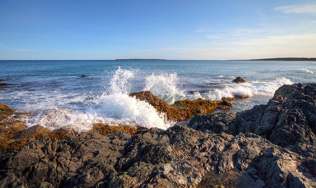
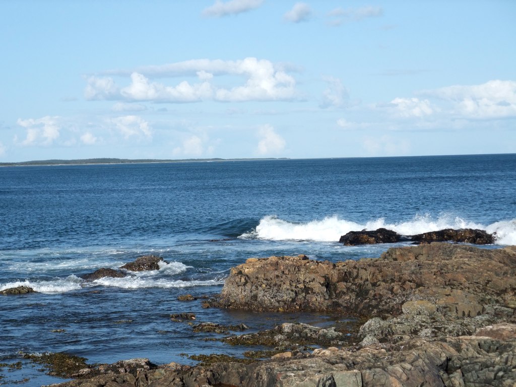
Waves Crashing at Point Michaud
DSCN2579 ES
Point Michaud Beach 2
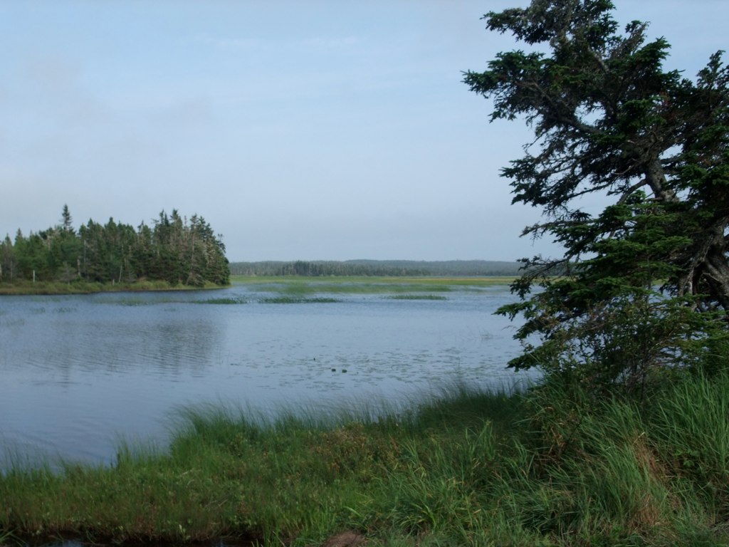
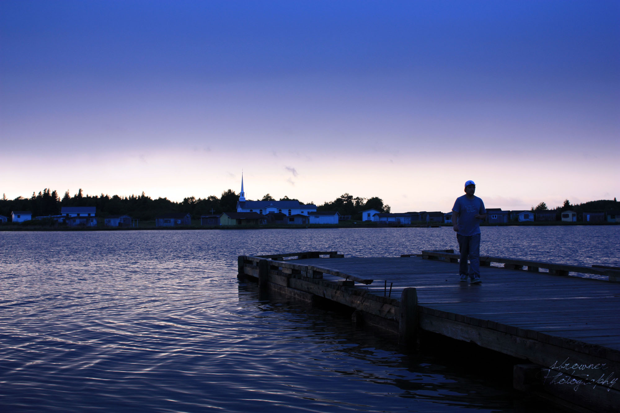
St. Esprit Lake
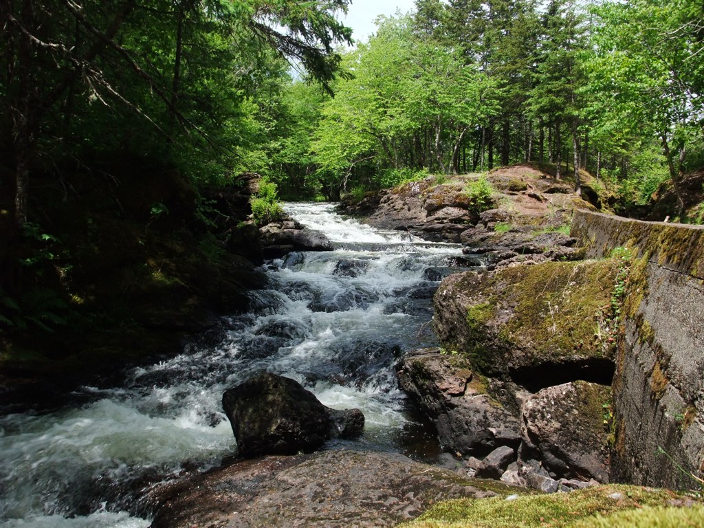
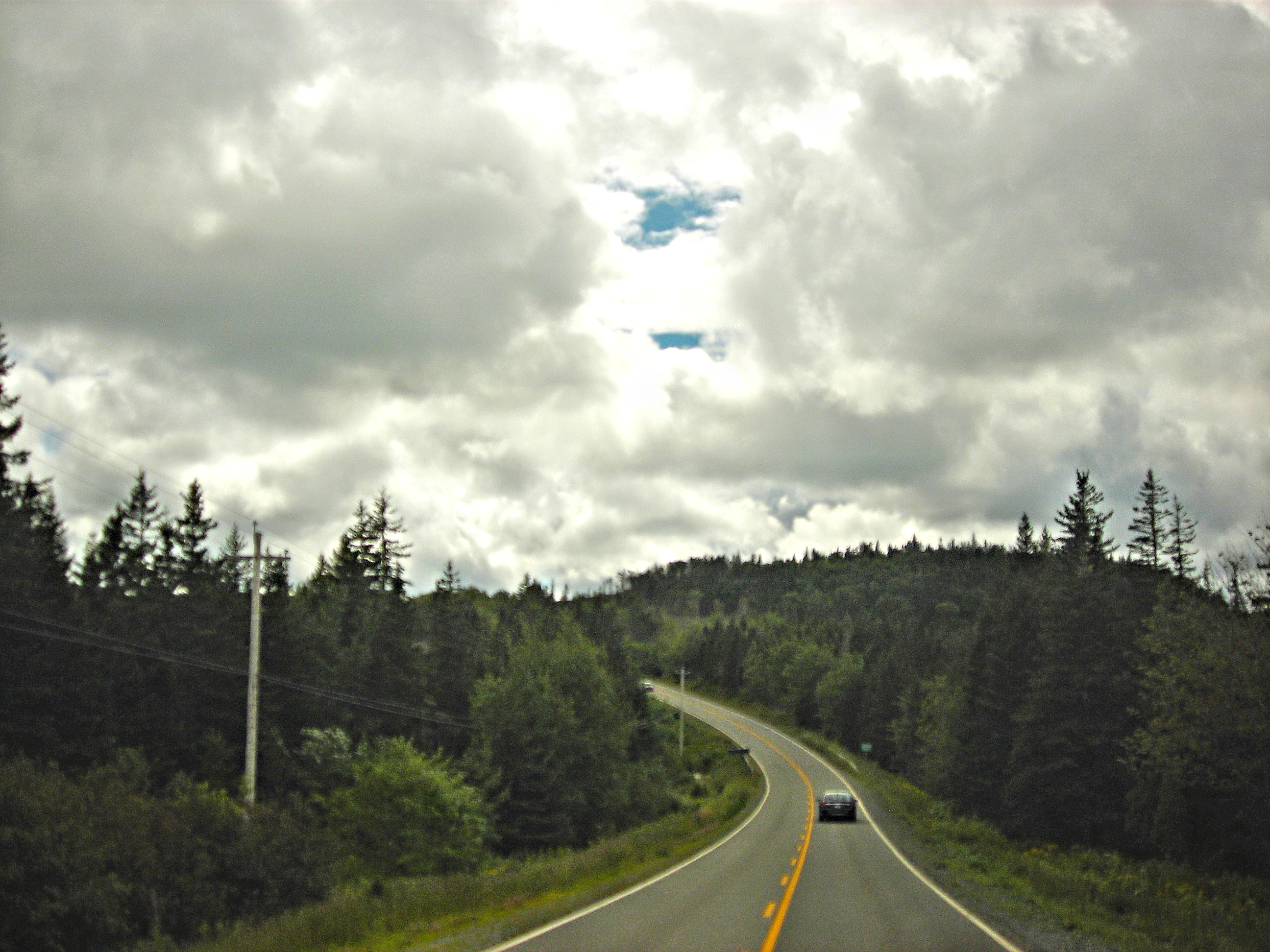
Grand River Falls
St. Esprit Lake
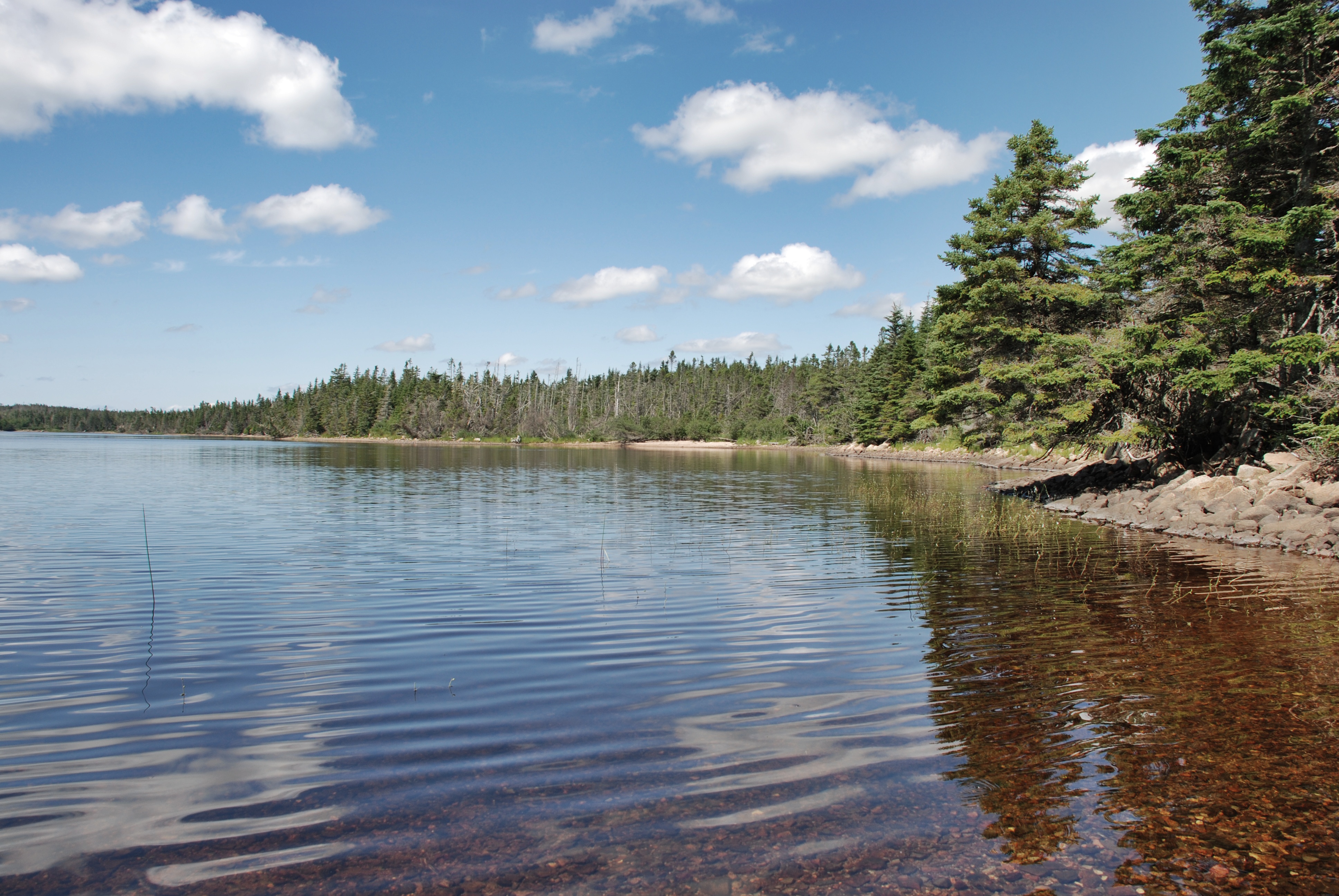
Shoreline Cape Breton Island
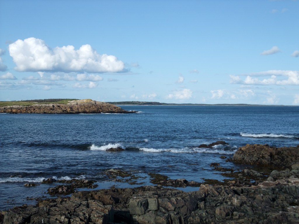
Shoreline Cape Breton Island
Louisbourg Rocks
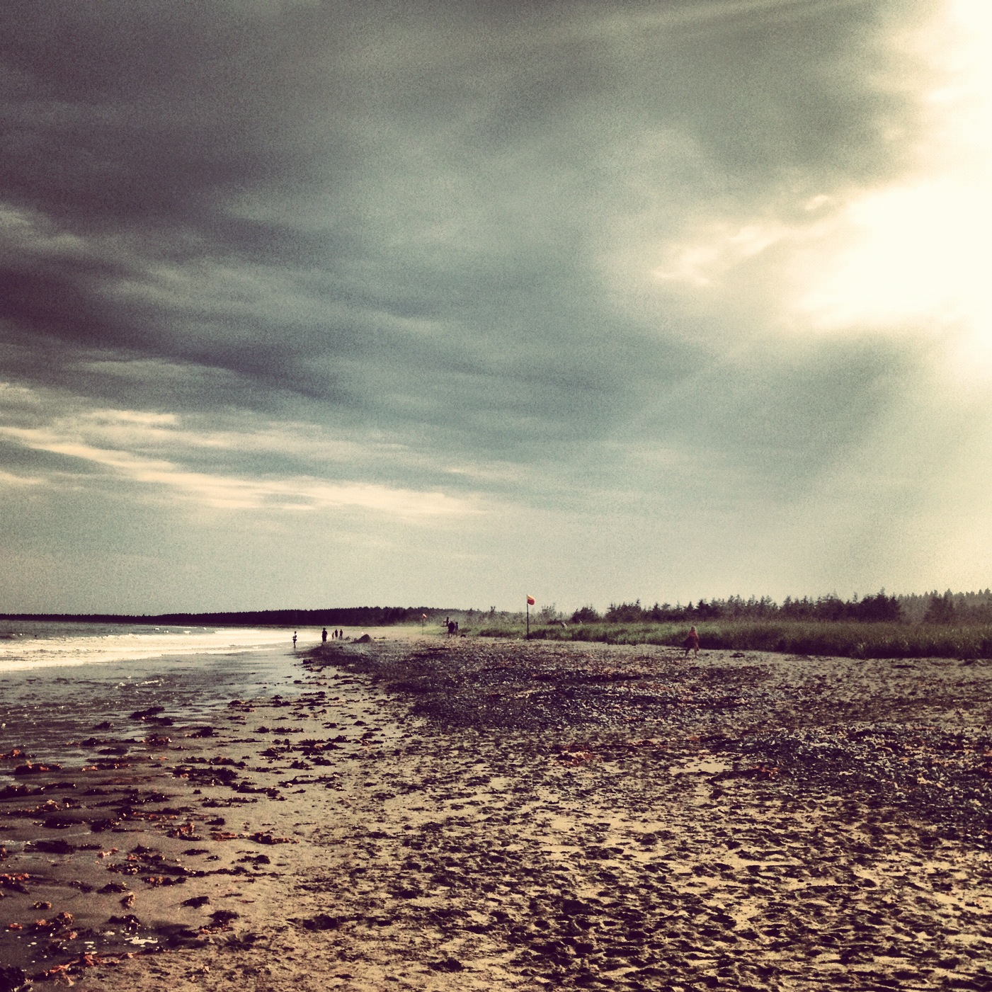
Point Michaud Beach
My Shadows The Only One Who Walks Beside Me.
Topographic Map of Point Michaud Rd, Grand River, NS B0E 1M0, Canada
Find elevation by address:

Places near Point Michaud Rd, Grand River, NS B0E 1M0, Canada:
860 Eastside Grand River Rd
Grand River
Richmond County
NS-, St. Peter's, NS B0E 3B0, Canada
749 Barren Hill Rd
740 Barren Hill Rd
L'ardoise
1991 Loch Lomond Rd
NS-4, St. Peter's, NS B0E 3B0, Canada
NS-4, Grand River, NS B0E 1M0, Canada
53 Ranson Rd, St. Peter's, NS B0E 3B0, Canada
Mountain Road, St. Peter's, NS B0E 3B0, Canada
Corbetts Cove Rd, St. Peter's, NS B0E 3B0, Canada
19 French Cove Rd, St. Peter's, NS B0E 3B0, Canada
NS-4, Grand River, NS B0E 1M0, Canada
Saint Peter's
290 Macvicar Rd
Enon
River Bourgeois
83 Sampsons Cove Rd, Sampson Cove, NS B0E 3C0, Canada
Recent Searches:
- Elevation of 30 Oak Lawn Dr, Barkhamsted, CT, USA
- Elevation of Luther Road, Luther Rd, Auburn, CA, USA
- Elevation of Unnamed Road, Respublika Severnaya Osetiya — Alaniya, Russia
- Elevation of Verkhny Fiagdon, North Ossetia–Alania Republic, Russia
- Elevation of F. Viola Hiway, San Rafael, Bulacan, Philippines
- Elevation of Herbage Dr, Gulfport, MS, USA
- Elevation of Lilac Cir, Haldimand, ON N3W 2G9, Canada
- Elevation of Harrod Branch Road, Harrod Branch Rd, Kentucky, USA
- Elevation of Wyndham Grand Barbados Sam Lords Castle All Inclusive Resort, End of Belair Road, Long Bay, Bridgetown Barbados
- Elevation of Iga Trl, Maggie Valley, NC, USA