Elevation of Point Defiance, Washington, USA
Location: United States > Washington > Okanogan County >
Longitude: -120.60288
Latitude: 48.8751381
Elevation: 2182m / 7159feet
Barometric Pressure: 78KPa
Elevation Map:
Satellite Map:
Related Photos:

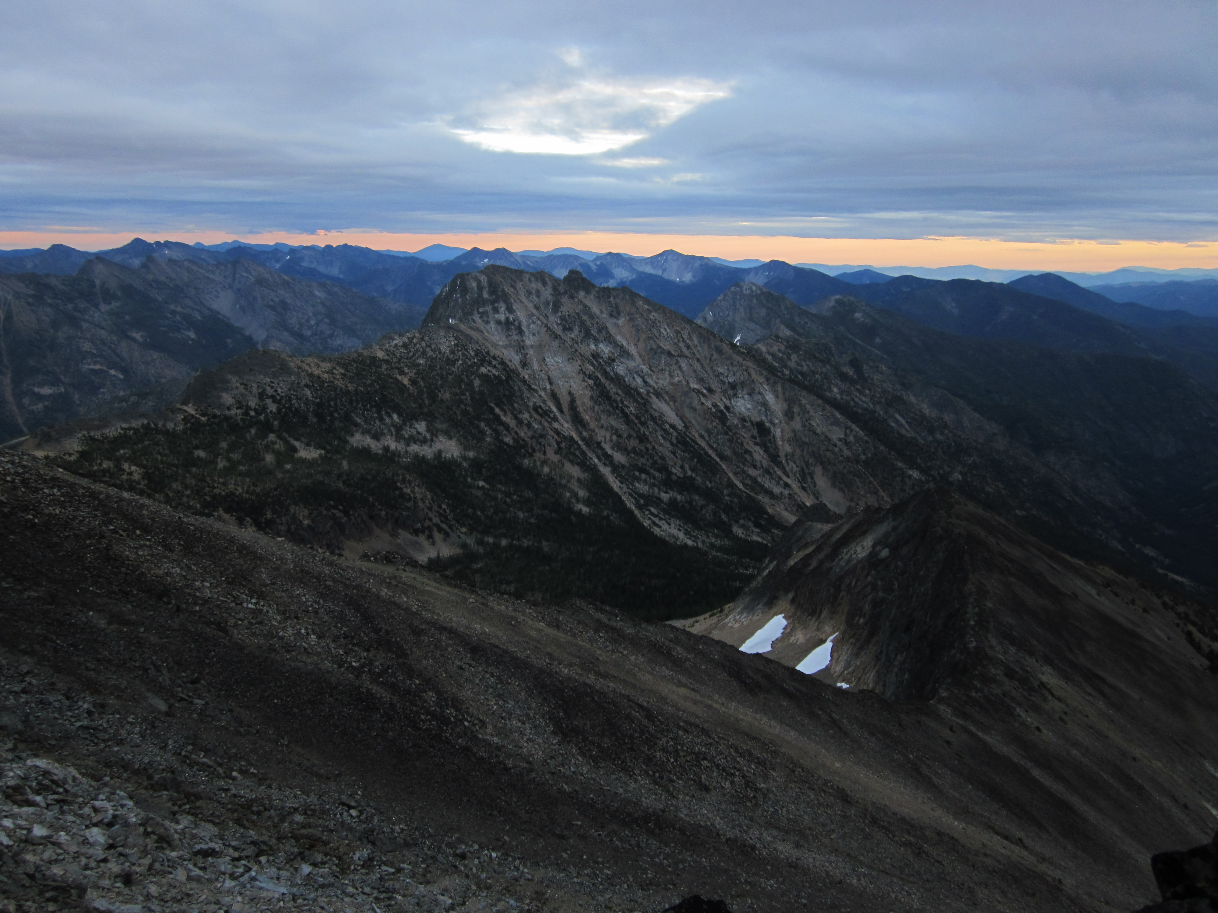
View of the Gods

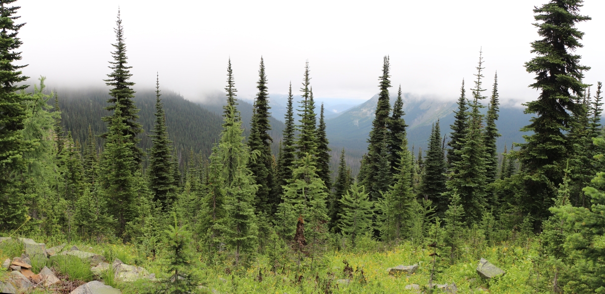
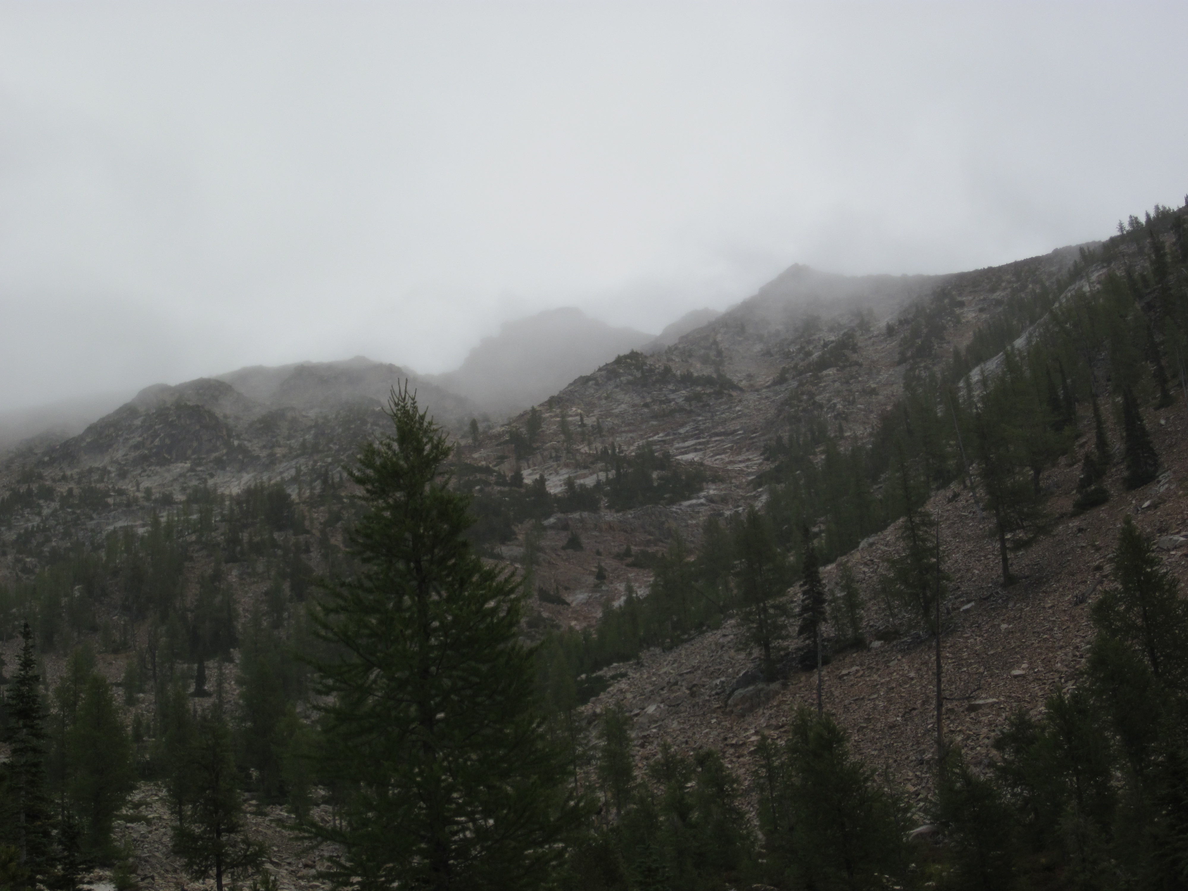
2824 No views except mist from the ridge above the WACS2636 Campsite on the PCT at Windy Pass
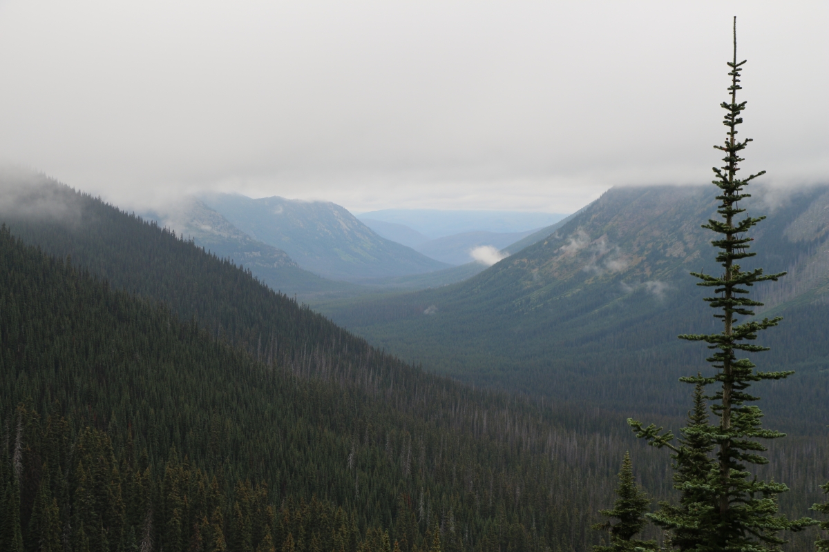
2894 View north into the West Fork Pasayten River Valley from the PCT south of Foggy Pass
2891 View into the West Fork Pasayten River Valley from the PCT south of Foggy Pass
2548 Panorama view south from the PCT north of Slate Peak toward Harts Pass, Azurite Peak, and Ballard Mtn
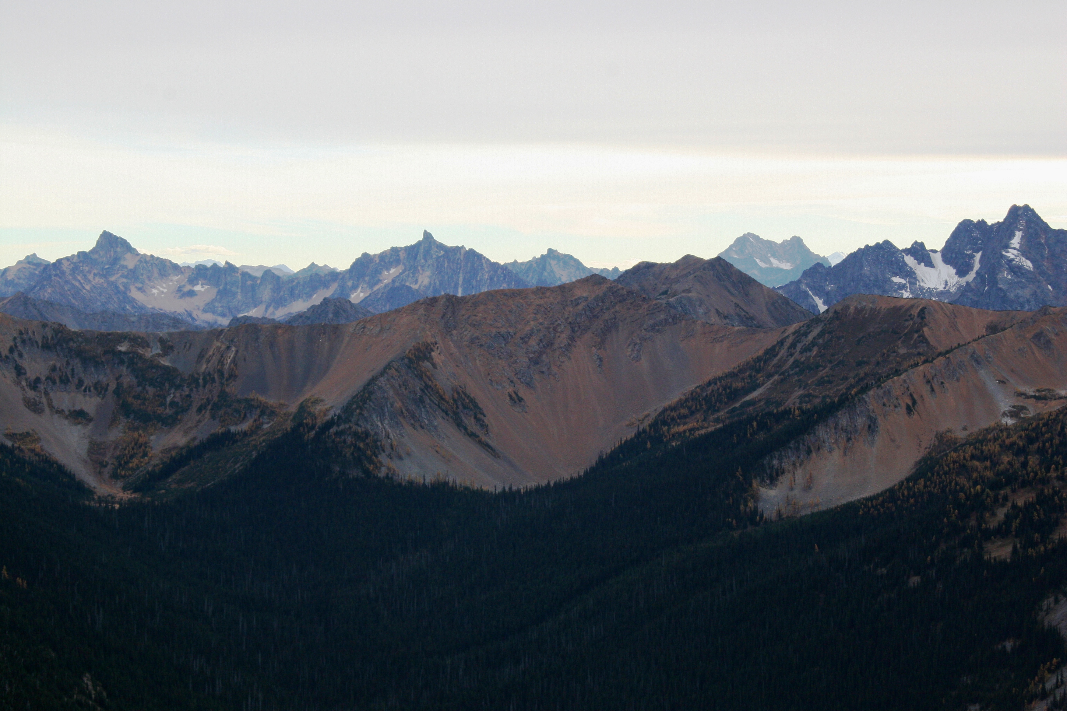
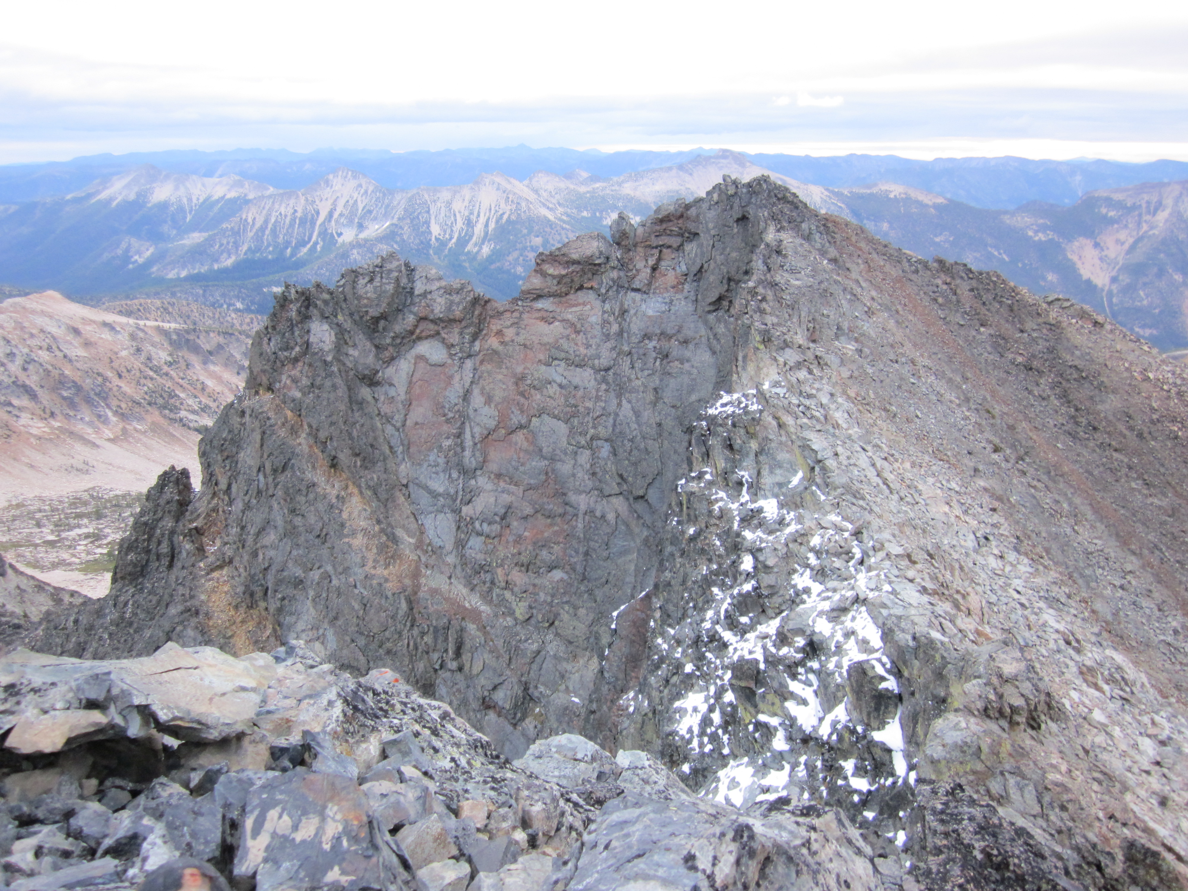
Tower, Golden Horn & Azurite Mountain
View of Lake peak from summit of Monument
View from summit of Monument

View west from summit of Monument
View towards summit of Lake from camp
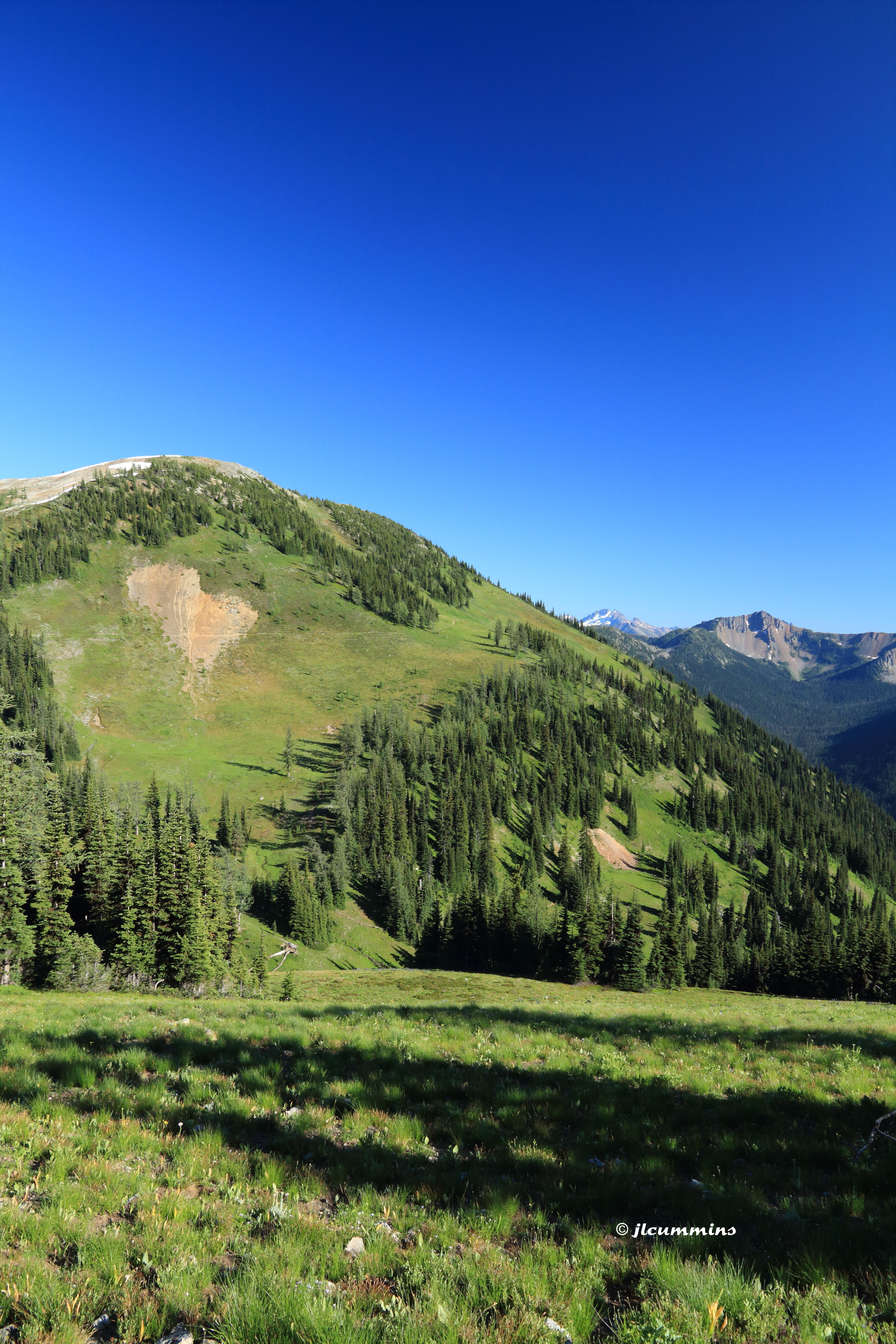
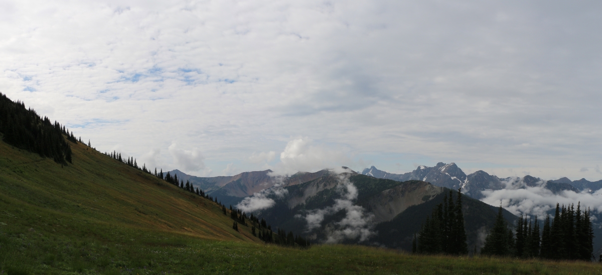
View from PCT northbound from Harts Pass
Topographic Map of Point Defiance, Washington, USA
Find elevation by address:

Places near Point Defiance, Washington, USA:
Osceola Peak
Mount Rolo
Dot Mountain
Ptarmigan Peak
Mount Lago
Holdover Ridge
Blackcap Mountain
Wildcat Mountain
Monument Peak
Smoky Mountain
Soda Peak
Robinson Peak
Holman Peak
Lake Mountain
Pass Butte
Many Trails Peak
Devils Peak
Island Mountain
Robinson Mountain
Beauty Peak
Recent Searches:
- Elevation of Corso Fratelli Cairoli, 35, Macerata MC, Italy
- Elevation of Tallevast Rd, Sarasota, FL, USA
- Elevation of 4th St E, Sonoma, CA, USA
- Elevation of Black Hollow Rd, Pennsdale, PA, USA
- Elevation of Oakland Ave, Williamsport, PA, USA
- Elevation of Pedrógão Grande, Portugal
- Elevation of Klee Dr, Martinsburg, WV, USA
- Elevation of Via Roma, Pieranica CR, Italy
- Elevation of Tavkvetili Mountain, Georgia
- Elevation of Hartfords Bluff Cir, Mt Pleasant, SC, USA