Elevation of Plum Springs Rd, Lincoln, AL, USA
Location: United States > Alabama > Talladega County > Lincoln >
Longitude: -86.027979
Latitude: 33.624505
Elevation: 187m / 614feet
Barometric Pressure: 99KPa
Elevation Map:
Satellite Map:
Related Photos:

Crane at Creek

2007-03-05-Sunrise

Hay bales

White Crane in flight on Hwy 21
Talladega Shoot with RB Films
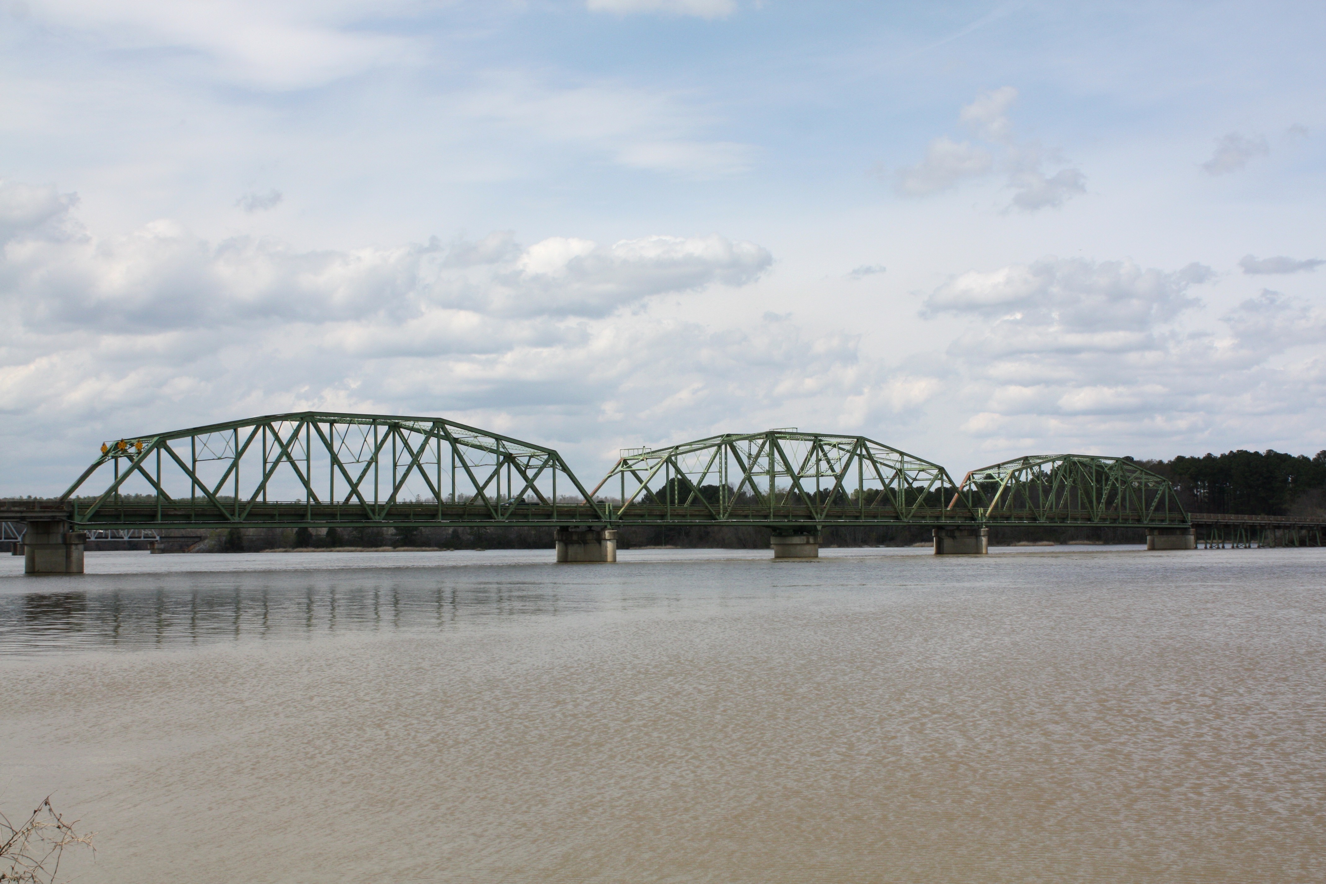
Riverside Bridge
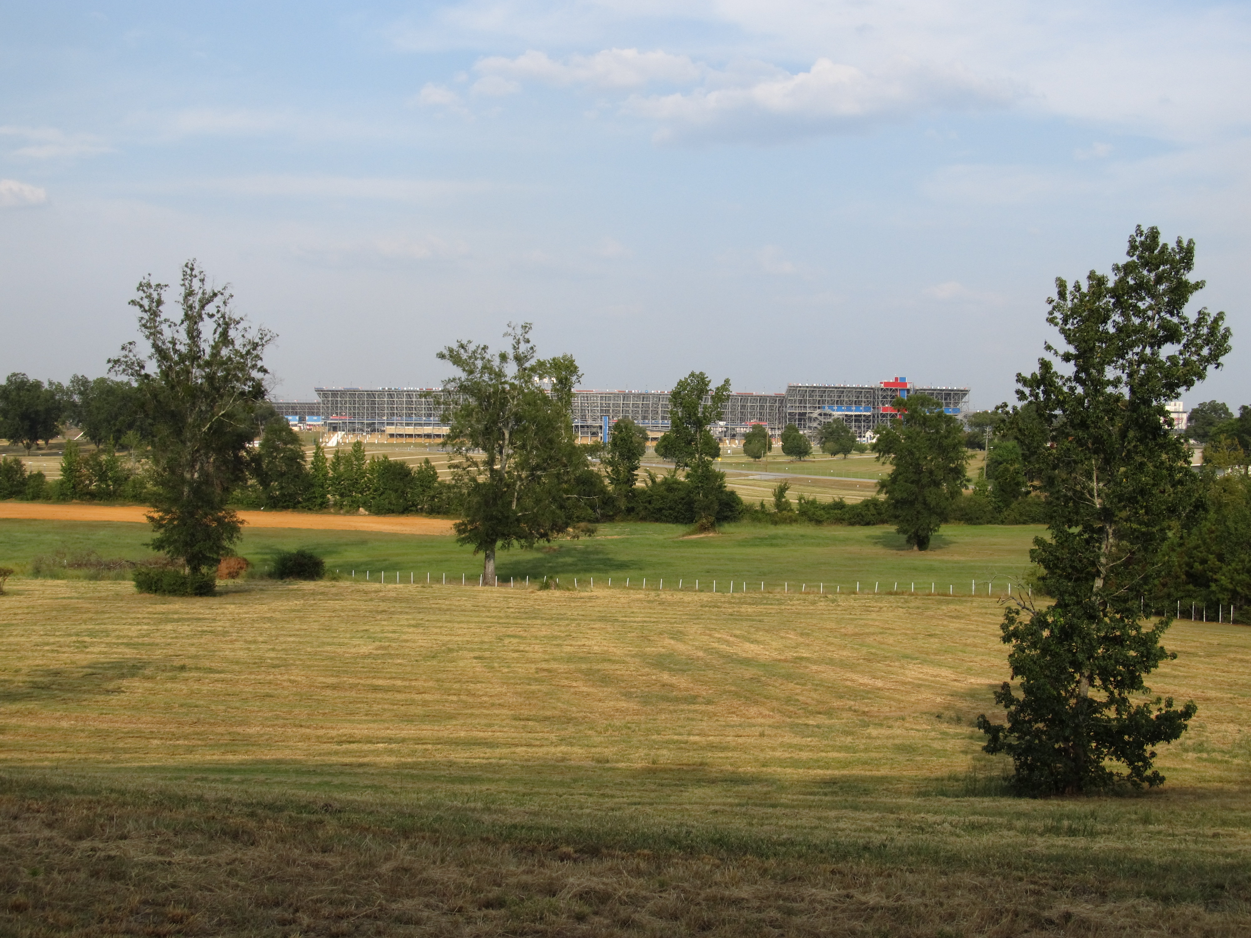
Talladega Superspeedway, Near I-20, Alabama

Riverside Bridge
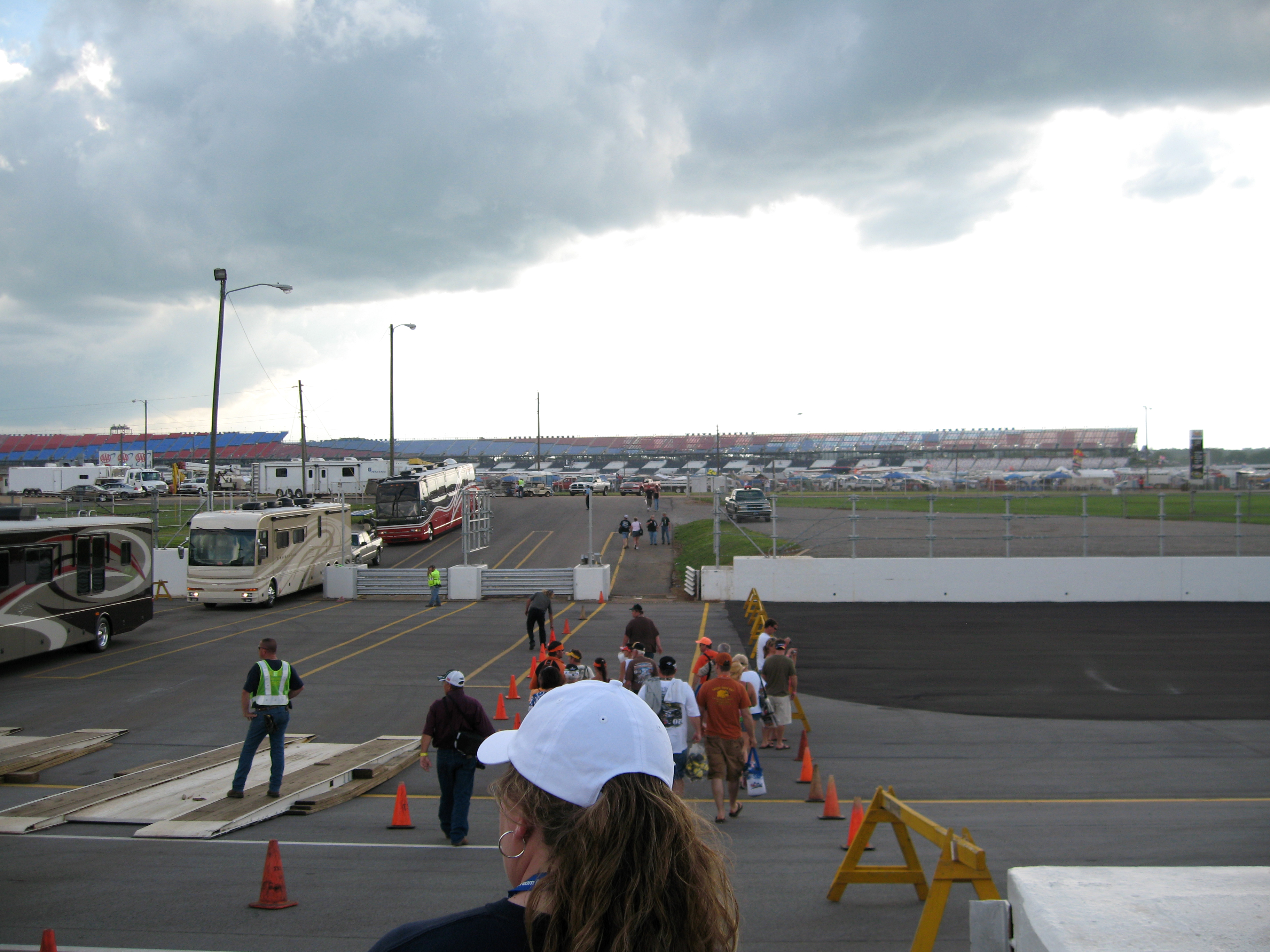
Crossing the Track

060908 081040_BC_DSC04226

2009-05-17 22:00:46 -0400

20091030-249-59

South Tunnel from Camp

South Tunnel from Camp

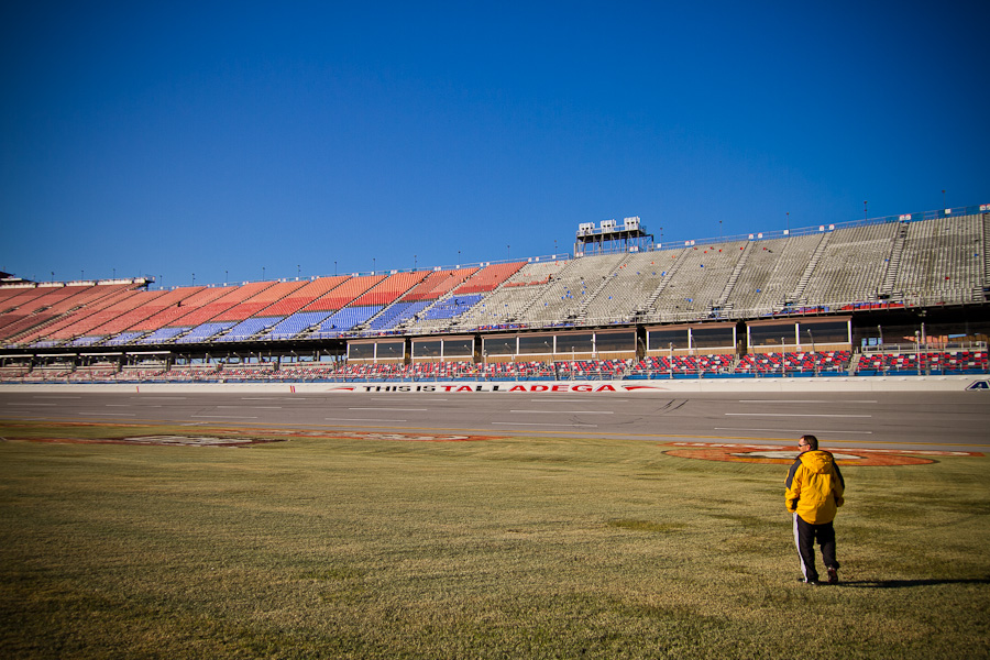
Turn 1

Birds Eye View

Can't See It All

Aaron's 499 -Talladega

Waiting for the race to start

Birds Eye View
Topographic Map of Plum Springs Rd, Lincoln, AL, USA
Find elevation by address:

Places near Plum Springs Rd, Lincoln, AL, USA:
600 Mudd St
Eastaboga
1 Kronospan Way
Lockheed Martin Corporation
Sulphur Springs Rd, Lincoln, AL, USA
Burns St, Eastaboga, AL, USA
Lincoln
Refuge Rd, Lincoln, AL, USA
Dr. Stan Jett: Bhc Lincoln
AL-, Anniston, AL, USA
Boiling Springs Rd, Ohatchee, AL, USA
543 Frances Blvd
543 Frances Blvd
W 14th St, Anniston, AL, USA
Caffey Dr, Oxford, AL, USA
Bancroft Ave, Anniston, AL, USA
Parkwood Dr, Anniston, AL, USA
Anniston Regional Airport
Choctaw St, Anniston, AL, USA
330 Williams St
Recent Searches:
- Elevation of Vista Blvd, Sparks, NV, USA
- Elevation of 15th Ave SE, St. Petersburg, FL, USA
- Elevation of Beall Road, Beall Rd, Florida, USA
- Elevation of Leguwa, Nepal
- Elevation of County Rd, Enterprise, AL, USA
- Elevation of Kolchuginsky District, Vladimir Oblast, Russia
- Elevation of Shustino, Vladimir Oblast, Russia
- Elevation of Lampiasi St, Sarasota, FL, USA
- Elevation of Elwyn Dr, Roanoke Rapids, NC, USA
- Elevation of Congressional Dr, Stevensville, MD, USA