Elevation of Pleasant Valley Rd, Underhill, VT, USA

Location: United States > Vermont > Chittenden County > Underhill >

Longitude: -72.867638

Latitude: 44.5602

Elevation: 307m / 1007feet

Barometric Pressure: 98KPa

Elevation Map:

elevation map of Pleasant Valley Rd, Underhill, VT, USA

Satellite Map:

Satellite map of Pleasant Valley Rd, Underhill, VT, USA

Related Photos:

hiking trail nikon d7100 vermont vt lake lakemansfield nebraskanotch stowe clouds
Lake Mansfield
stowe vt vermont new england storm clouds weather black white bw mono monochrome rwgrennan rgrennan ryan grennan nikon d610 travel moody landscape mountains light window stowehof view 2017 september
Light in the Window
Smugglers' Notch
trees summer white house mountains green nature landscape photo vermont unitedstates photograph stowe vt birchtrees greenmountains mountainhouse
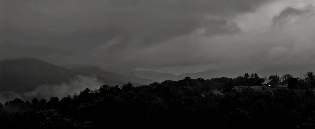
House in the Mountains (DSH_5786)
winter sun snow tree ice vermont december lift delete7 explore saturation icy savedbythedeltemeuncensoredgroup 2007 smugglersnotch smuggs dmu cotcmostinteresting interestingness59 i500 jefforsonville
view from the chair, icy trees
summer vacation usa tree green water strange rural forest river us flora vermont outdoor unitedstatesofamerica july hike trail waterfalls northamerica gorge stowe cascade naturalworld hdr northwoods greenmountains westbranch ruralscenes binghamfalls lewisfalls plungefalls northernforest roaringfalls riparianecosystem photogeorge smugglersnotchstatepark mtmansfieldstateforest uppermountainroad waterburyriver stowelandtrust nikond750 acdseeultimate8 vermontrt108 bedrockgneiss bedrockhazensnotchschist grottocascade orphacascade williamhhbingham
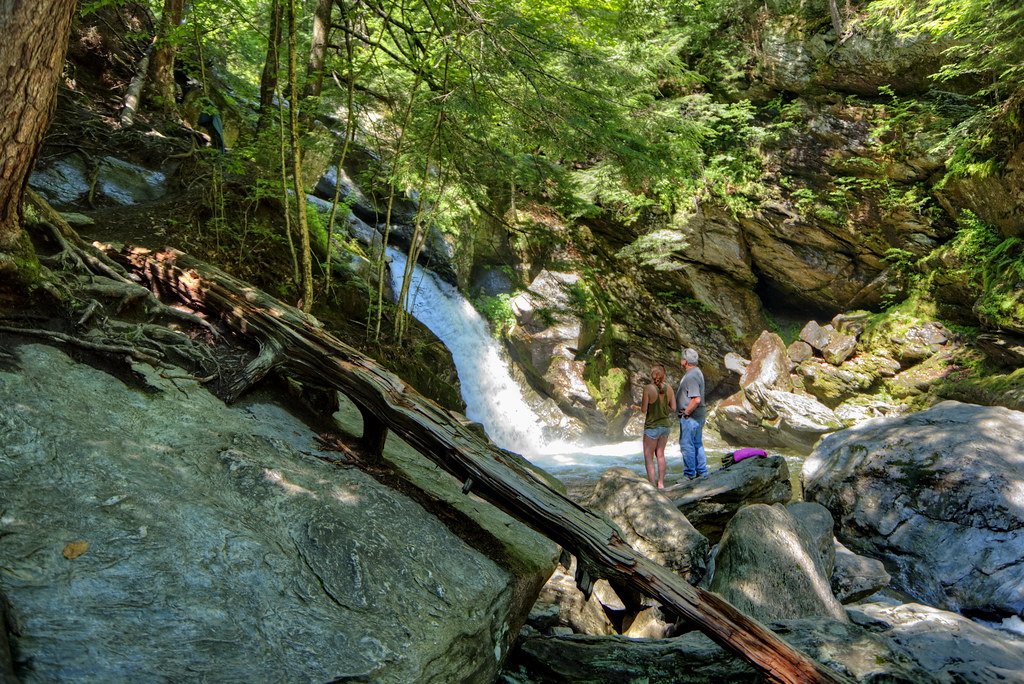
Bingham Falls 11 - The Plunge: wider view
instagramapp square squareformat iphoneography uploaded:by=instagram
Just off the trail in a mossy patch of fallen trees. A bug's eye view near Smuggler's Notch. #wilderness #autumn #fall #leaves #moss #ferns #vermont #stowe #nature_perfection #thegreatoutdoors #lifeisbeautiful #life
panorama mountain black ski ice point hardware high vermont mt angle pano wide peak bowl panoramic resort diamond mount alpine area summit axe stowe tundra vt mansfield smugglers notch piolet flickrandroidapp:filter=berlin
Mount Mansfield 4,393 Ft. #21
square fdsflickrtoys mosaic orb architectural sphere swirls orbs sq spheres amazingfaces origamidon donshall architecturalswirls mosaic•amazingfaces
mosaic • amazing.faces
Fall foliage from Trapp Family Lodge, Stowe, VT
mountain landscape snow winter cold weather foggy fog clouds cloudporn nature naturephotography stowemountainresort stowe vermont vt unitedstatesofamerica usa nikon d610 nikkor 2018g fav10 fav25 fav50
Mt. Mansfield
vermont bluff longtrail ithealfalls
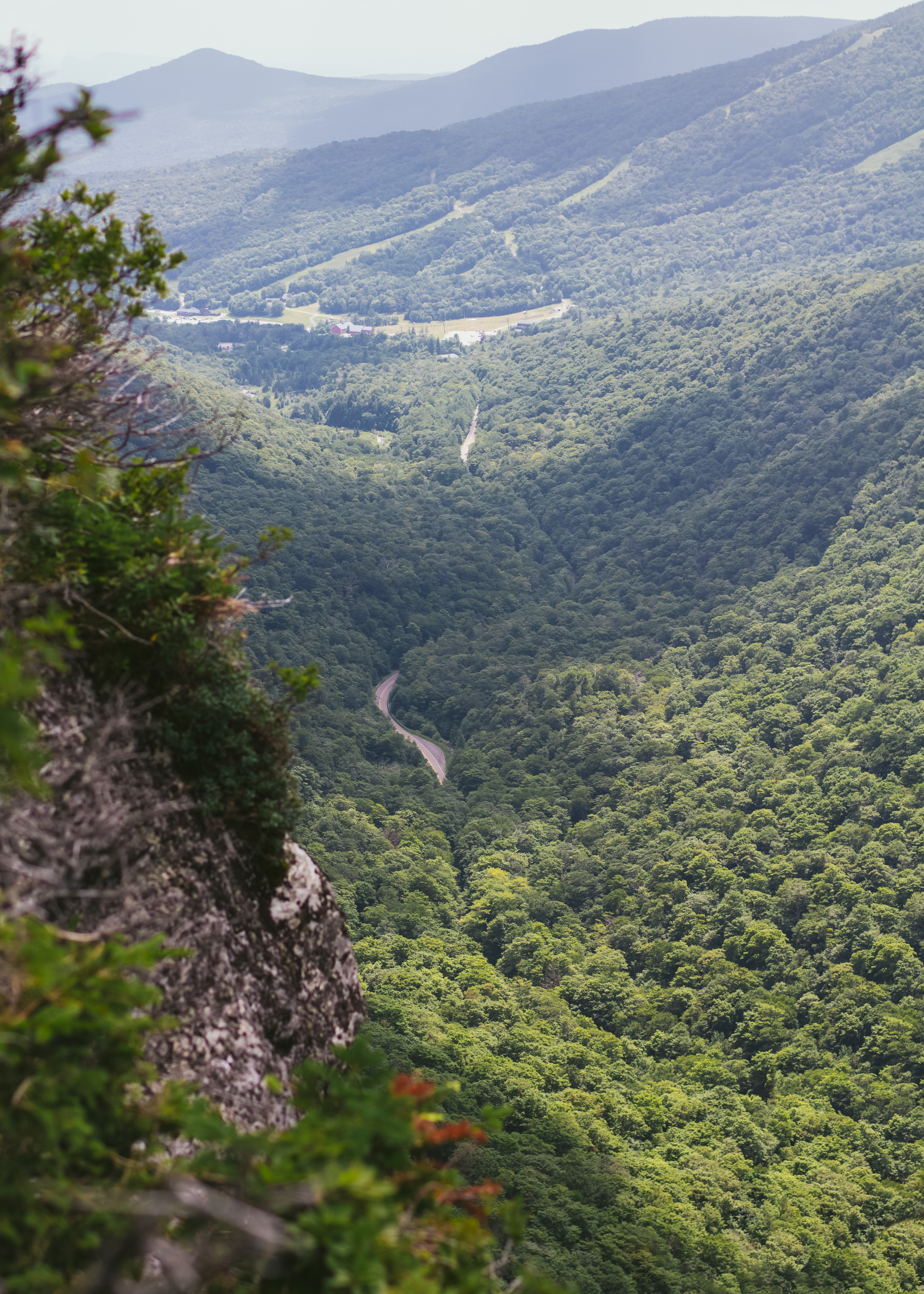
View from the Long Trail
blue winter wild summer sky panorama usa white mountains green nature colors grass clouds season landscape spring vermont unitedstates cattle wide meadow vivid bluesky photograph change appalachian peaks range vt bold puffyclouds 2012 graze greenmountains appalachianmountains wideview whiteclouds scottishcattle
Scottish Cattle in Green Mountains (DSH_5846-53)
usa fall autumn vermont stowe mountmansfield smugglersnotch statepark leaves red yellow orange trees hiking trail skiing skiresort pano panorama
View from Mount Mansfield, Vermont
blue landscape vermont hill mtmansfield
Hills of Vermont
autumn vacation fall nature vermont hiking newengland lookout foliage event longtrail scenicviewpoint
Prospect Rock
panorama vermont pano telephoto greenmountains canonef300mmf4lis
Vermont Pano
Omni Autumn
cambridge mountains nature landscape vermont hiking newengland lookout smugglersnotch
Elephant's Head Cliff Lookout
winter mountain snow nature landscape vermont skiing view vt skitrail iphone smugglersnotch iphone5 iphoneography uploaded:by=flickrmobile flickriosapp:filter=nofilter
Upper Chilcoot View
autumn fall landscape scenery vermont unitedstates scenic newengland scene foliage stowe 2009 vt vermonth morsesmill
Vermont Fall Foliage 6
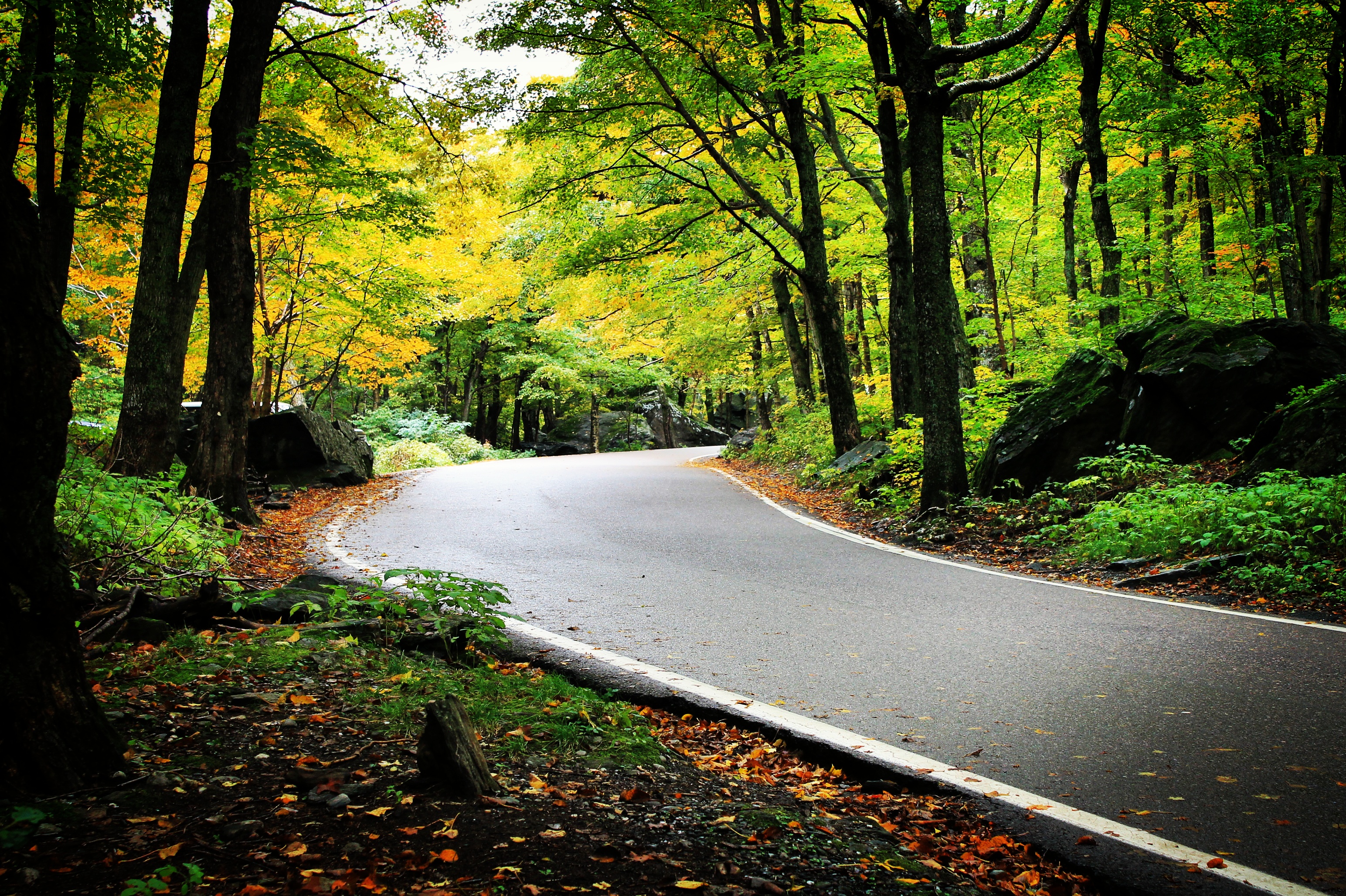
In The Notch
I can see my house from here
coveredbridge redcoveredbridge bridge old historic road countryside rural contrast winter snow dirtroad mud muddy muddyroad morristown vermont vt unitedstatesofamerica usa samsunggalaxys7 galaxys7 blackandwhite monochrome bw mono fav10 fav25
The Red Covered Bridge III
stowe vermont sterlingbrookhdr verticalpanoramaautumn fall colorsfallcolorsstream
Sterling Brook in Stowe, Vermont
autumn landscape plants nature city aerial traffic trees maple drone road stowe travel america northamerica lamoillecounty vermont fallcolours unitedstates smugglersnotch season foliage fall theunitedstatesofamerica us usa unitedstatesofamerica countryroad countryside
???? Smugglers Notch | Vermont
longexposure cliff usa mountain clouds canon rocks vermont smugglersnotch ndfilter sprucepeak sterlingrange canonefs1855mmf3556is canoneosrebelt1i
Spruce Peak
autumn trees mountain water leaves rocks colorful stream vermont newengland brook vt mtmansfield mountainbrook greenmountains smugglersnotch
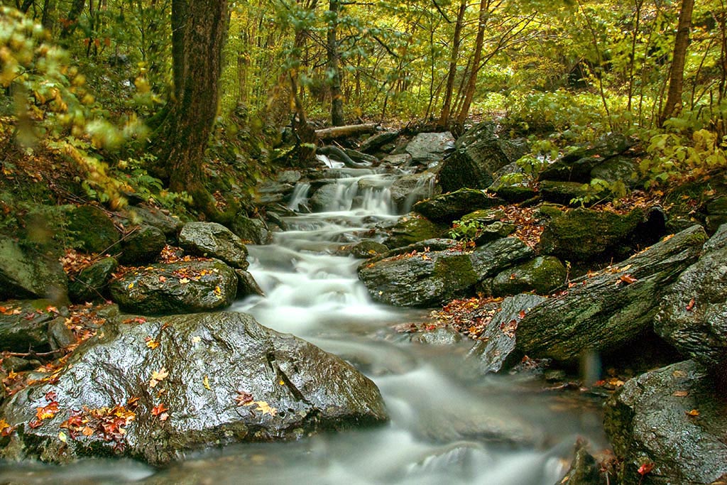
A Brook at Smuggler's Notch
autumn trees cambridge fall vermont vt 2012 smugglersnotch
Don't cry because it's over, smile because it happened...
waterfall spring vermont unitedstates waterfalls jericho millbrookfalls
Vermont-6380_HDR.jpg
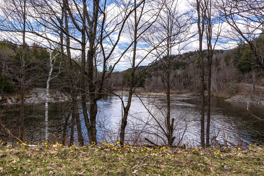
trees tree nature water rock forest river landscape flow rocks stream rocky 70200
Magical River
longexposure water waterfall vermont binghamfalls
Bingham Falls 8-1-12 (10)
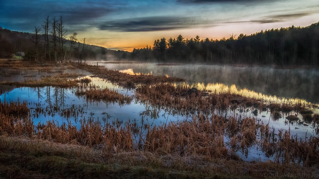
fog sunrise vermont swamp hazy bog
Burning off the fog
us usa vt unitedstates vermont fall autumn automne landscape stowe licensed fineart fineartamerica dreamstime eyeem adobe adobestock fotolia 123rf rf123 eyeemongetty license
Vermont fall landscape