Elevation of Pleasant Valley Rd, Marion, MT, USA
Location: United States > Montana > Flathead County > Marion >
Longitude: -114.66179
Latitude: 48.1056054
Elevation: 1202m / 3944feet
Barometric Pressure: 88KPa
Elevation Map:
Satellite Map:
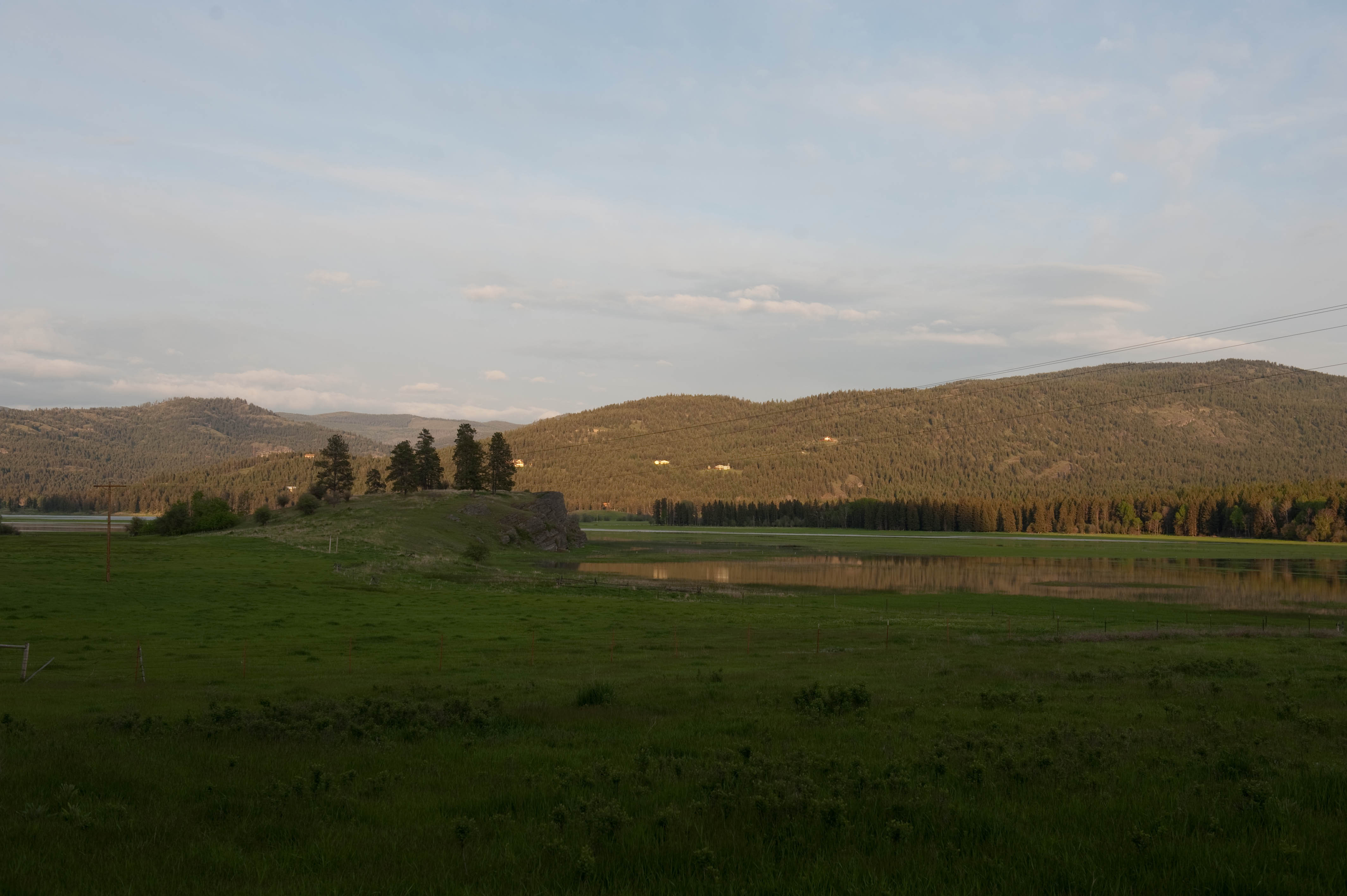
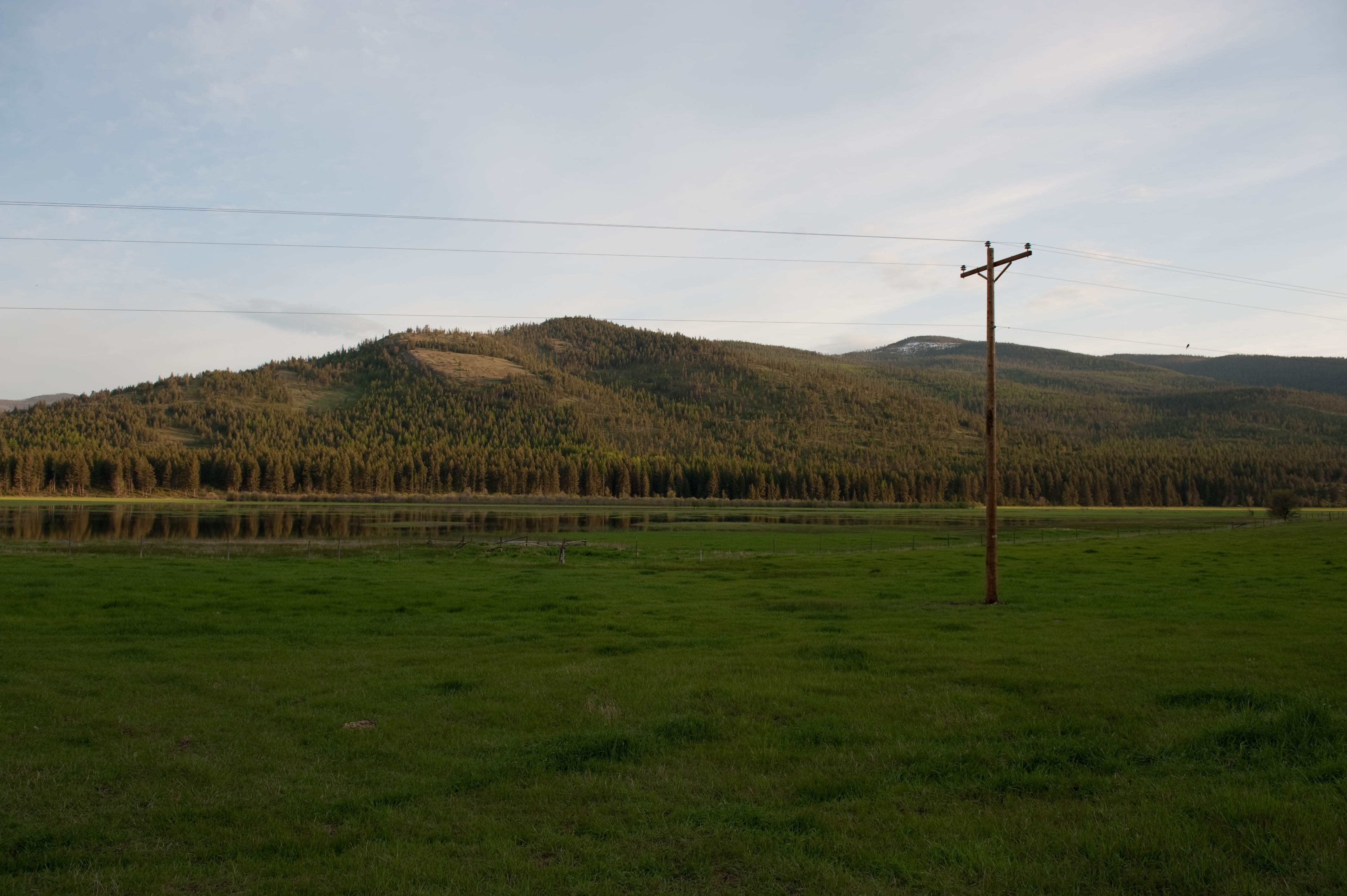
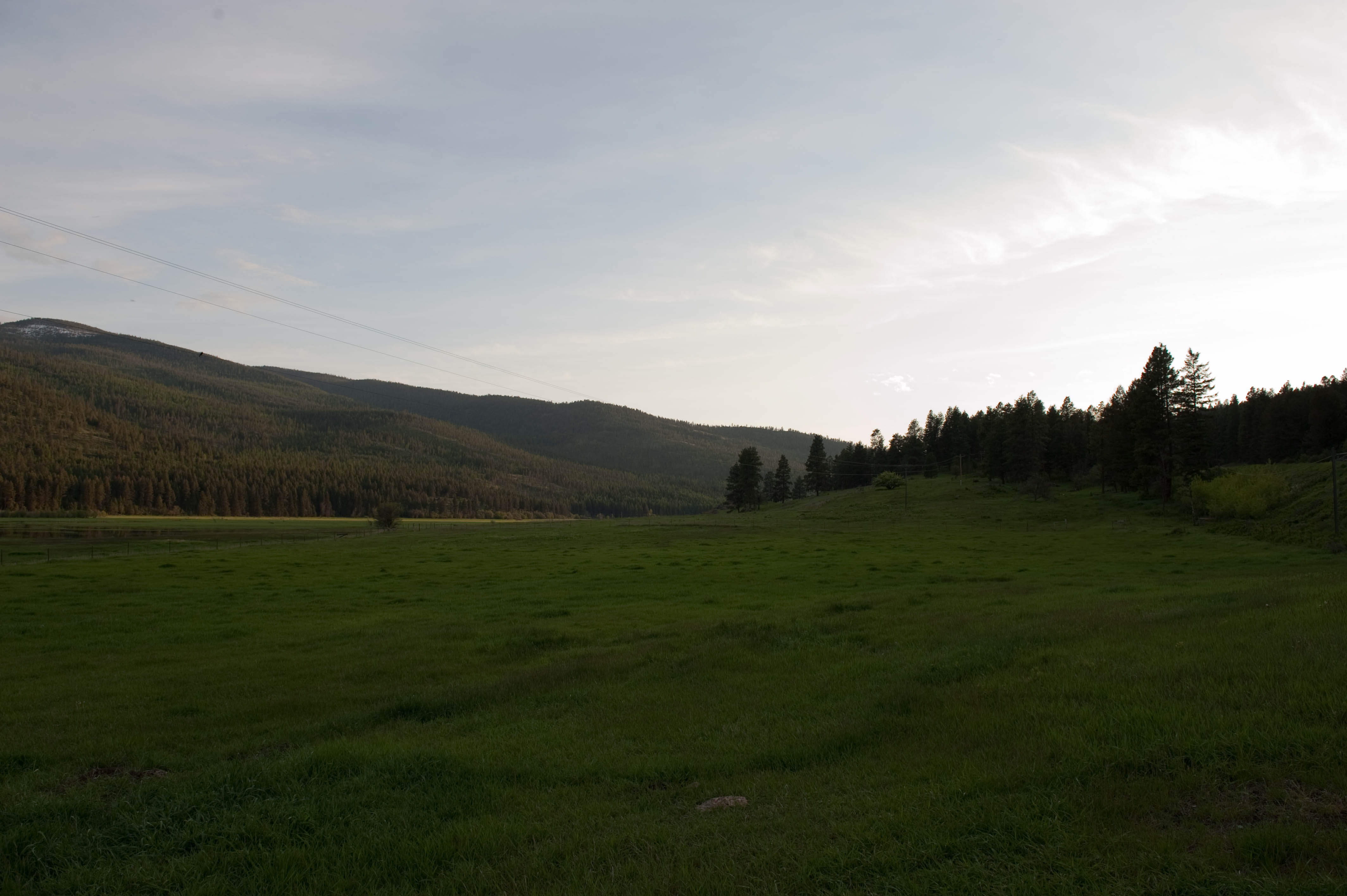
Related Photos:
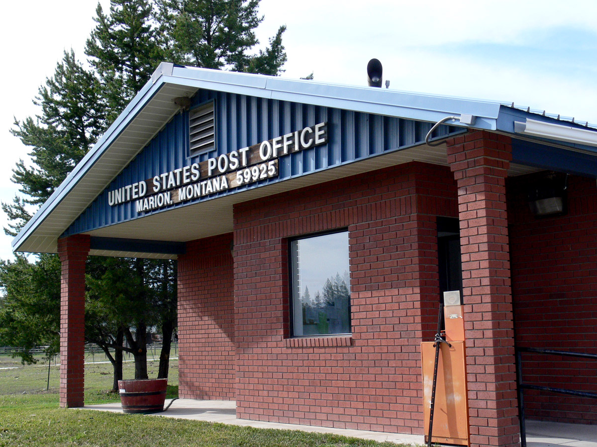
Marion, Montana 59925
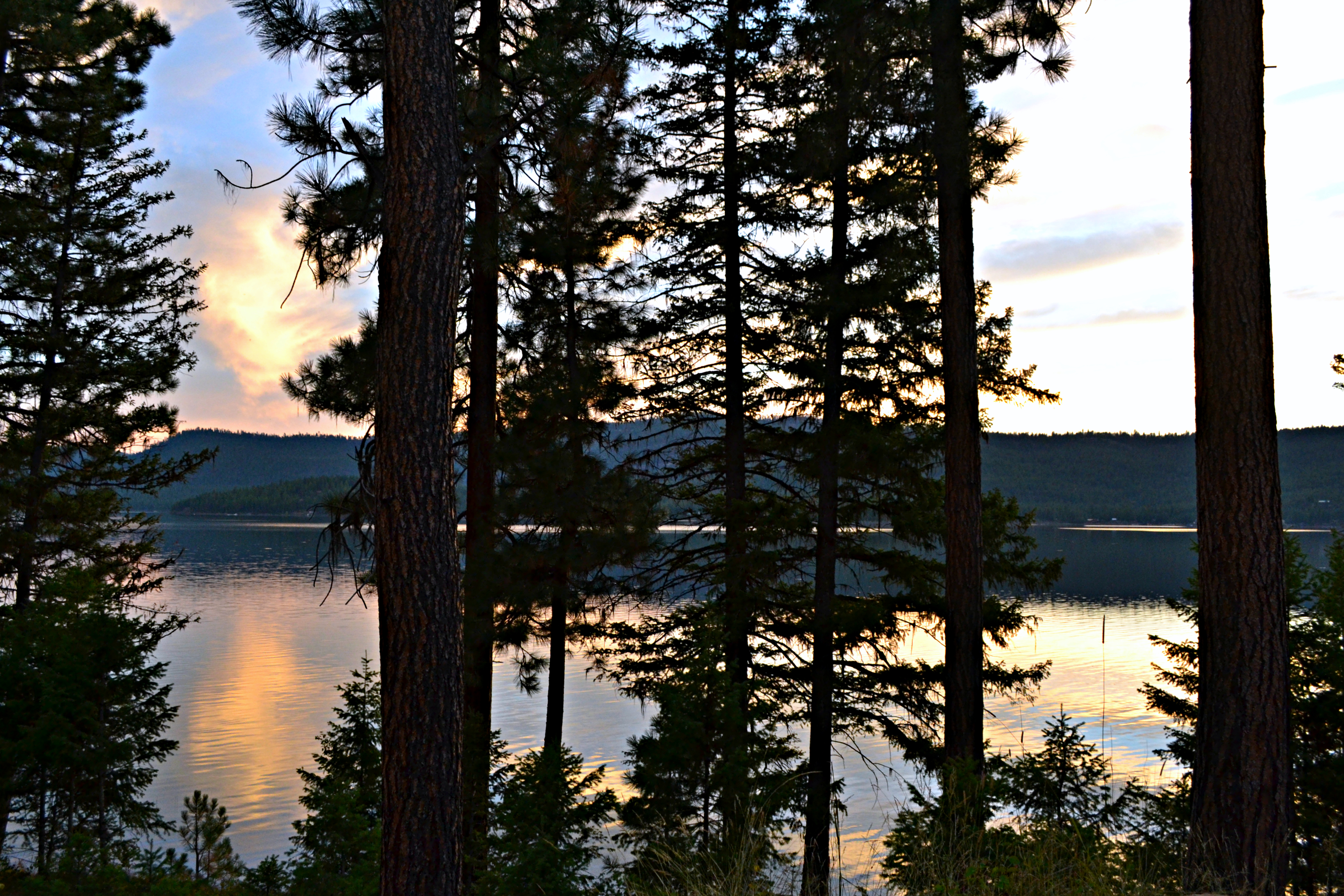
A September Evening
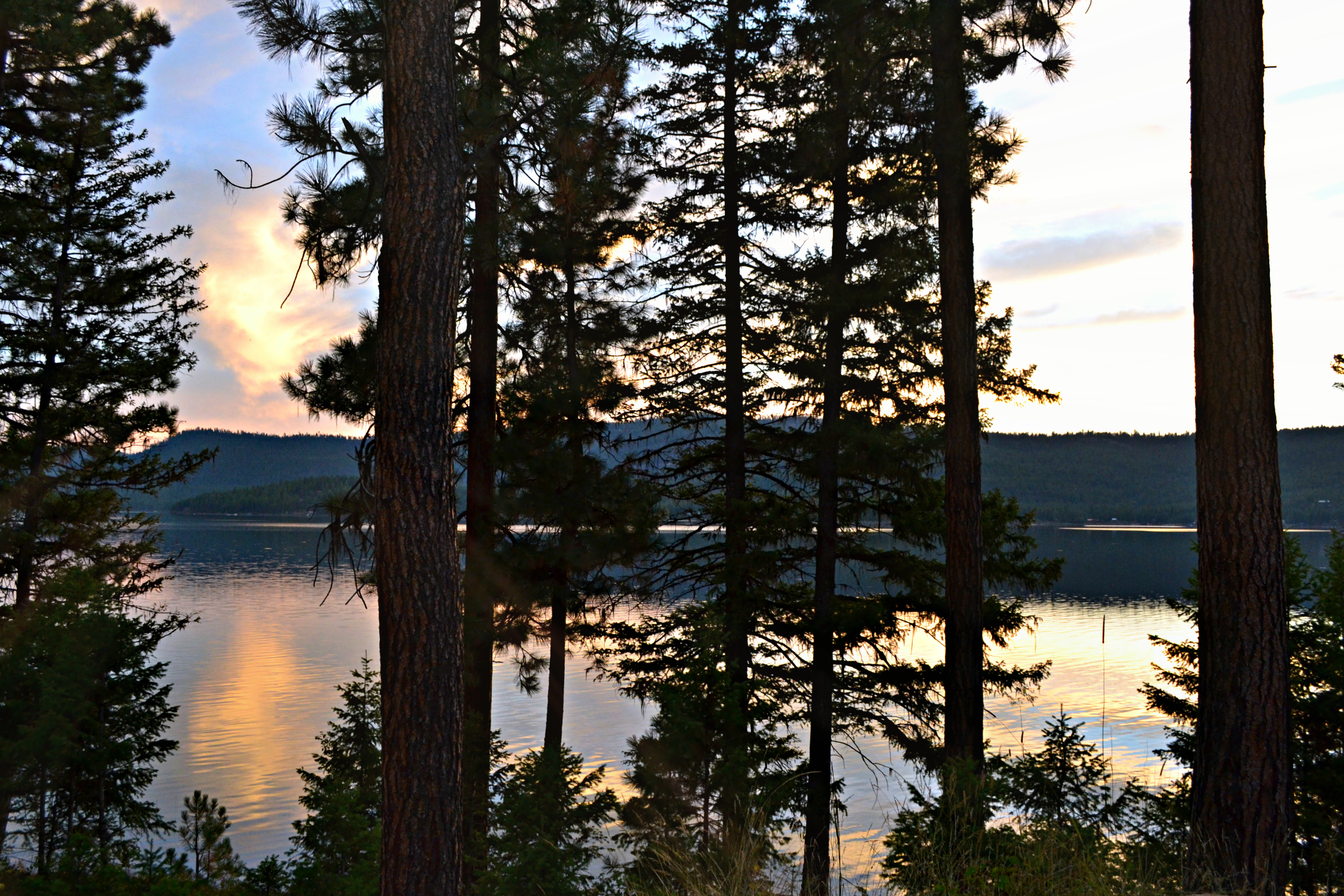
September Evening...

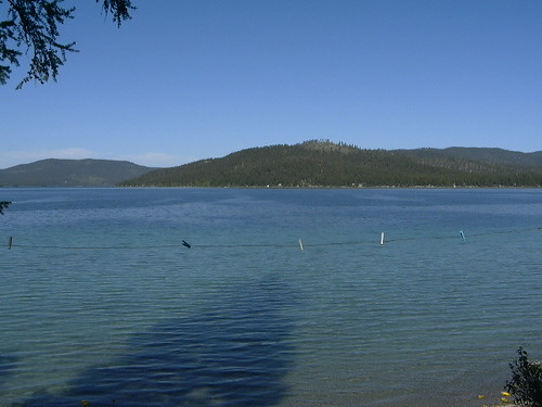
McGregor Lake
Mighty Little Bitterroot ...

Fog In The Morning

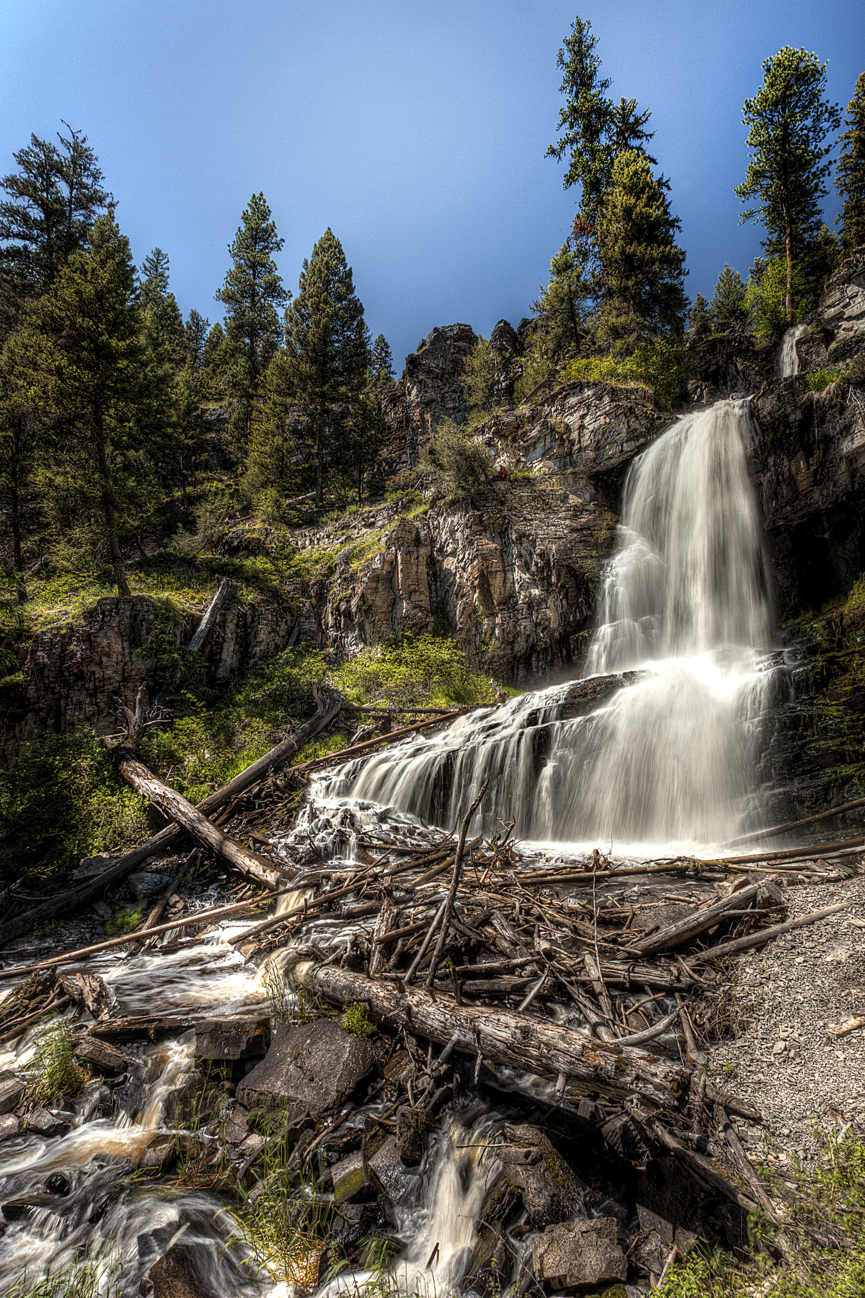
One Last Burst
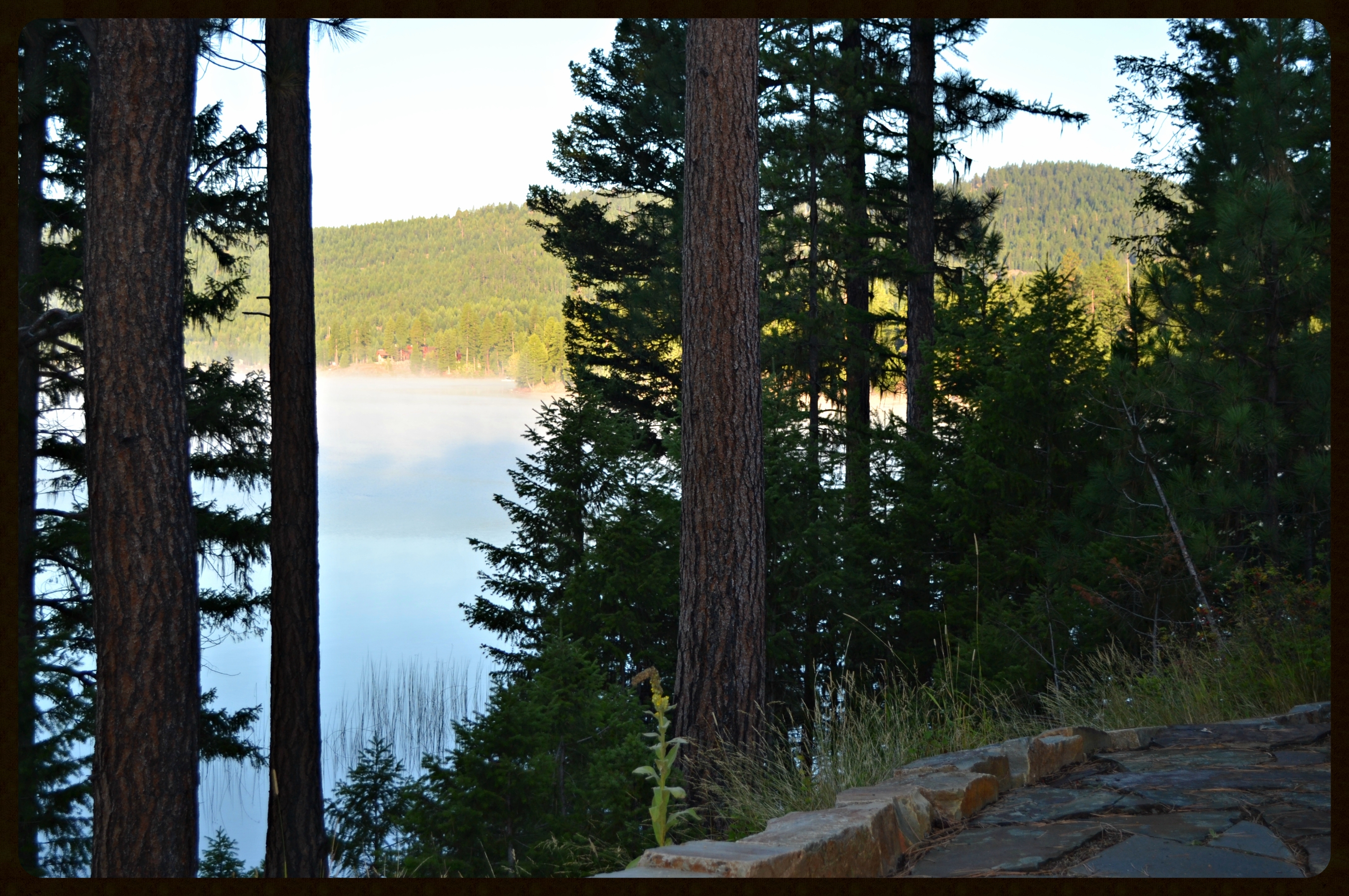
Fog In The Morning....framed
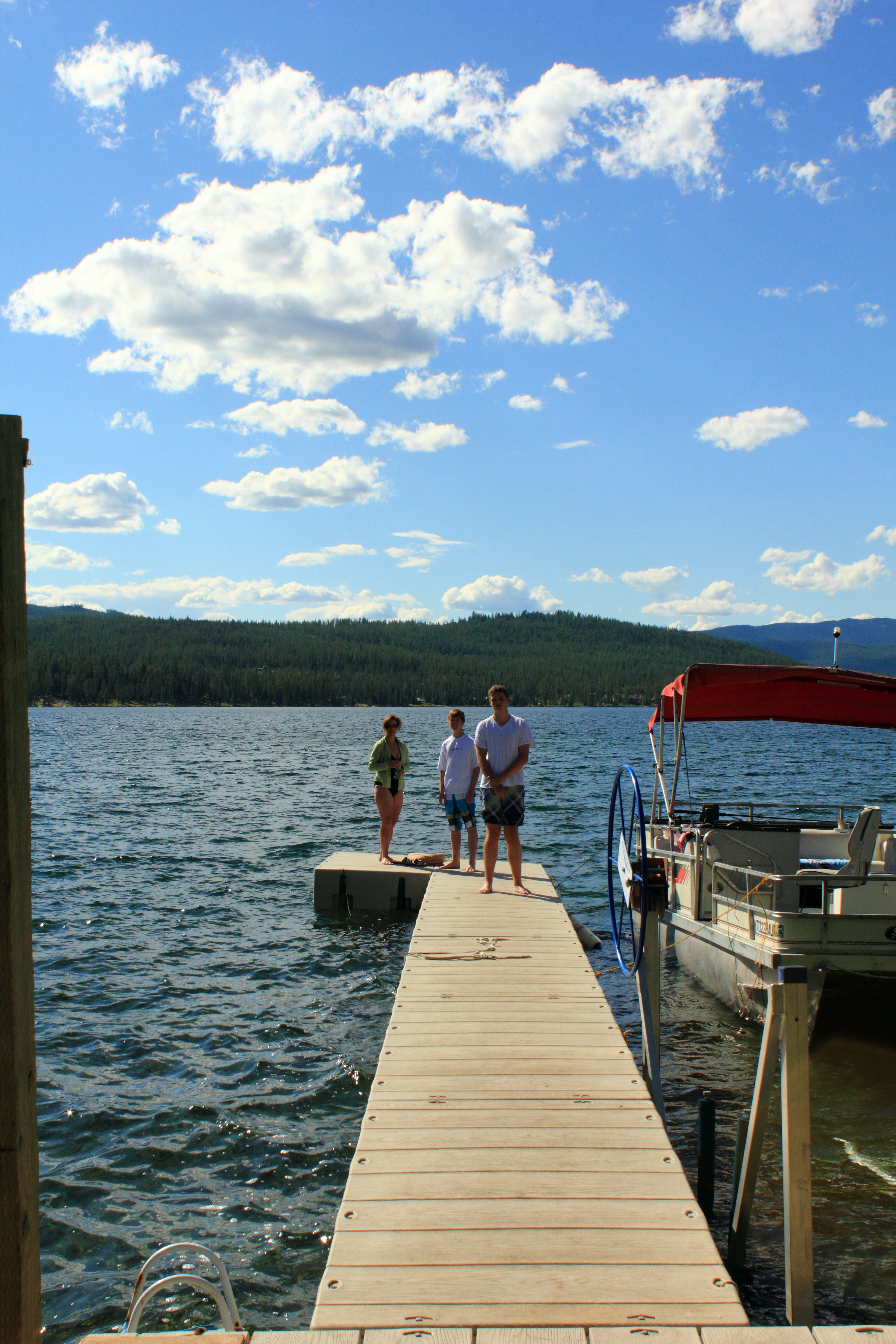
About to Swim in McGregor Lake
D7H_2629.jpg
Ashley Lake
D7H_2631.jpg
D7H_2626.jpg
D7H_2623.jpg

D7H_2625.jpg
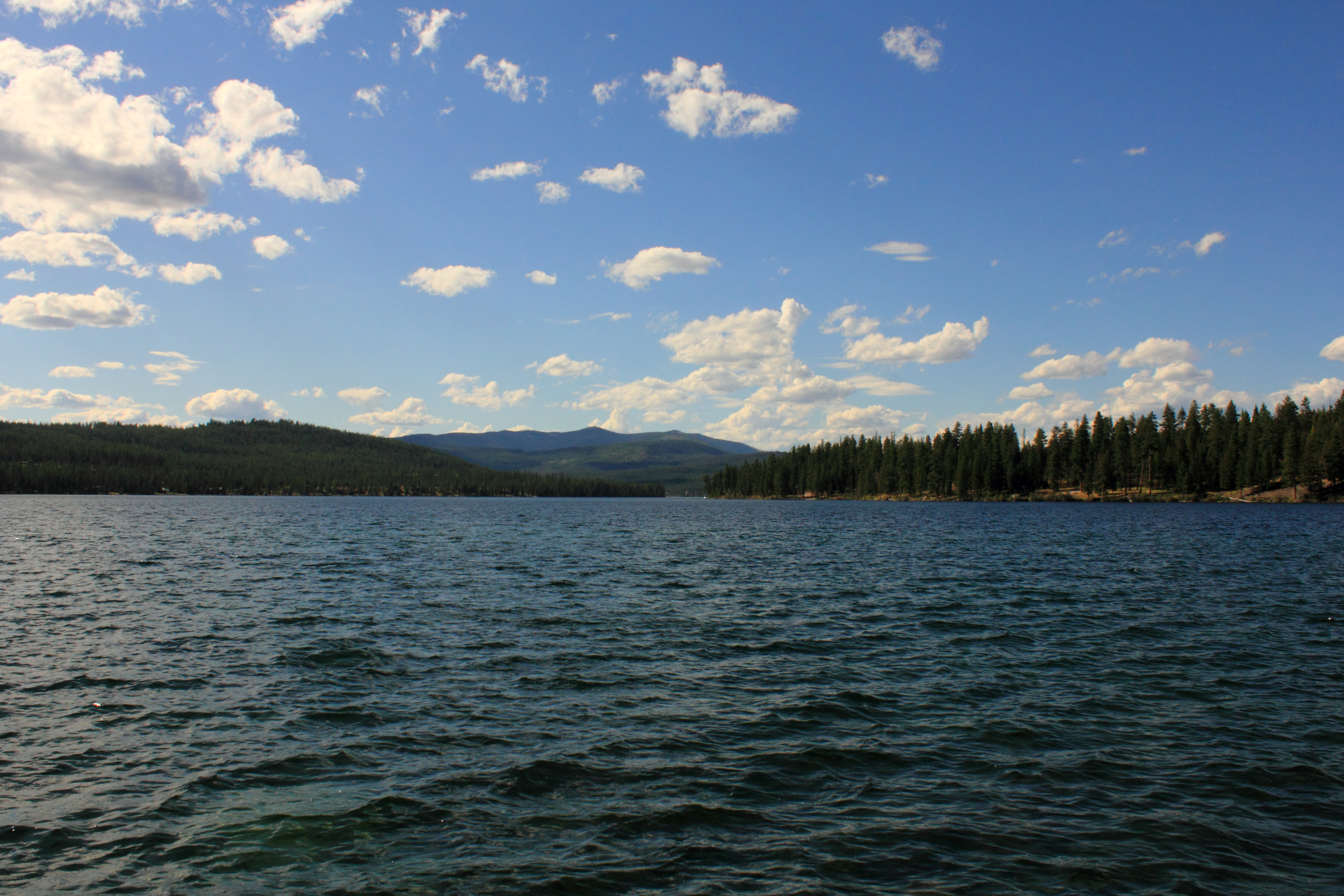
McGregor Lake (By Will)
Topographic Map of Pleasant Valley Rd, Marion, MT, USA
Find elevation by address:

Places near Pleasant Valley Rd, Marion, MT, USA:
Marion
1186 Homesteaders Way
1053 Bitterroot Dr
585 Badger Hollow Trail
1600 Browns Meadow Rd
675 Hoffman Draw
2433 White Tail Ridge
2917 White Tail Ridge
2917 White Tail Ridge
1716 Ashley Lake Trail
630 Browns Meadow Rd
355 Hoffman Draw
1145 S Mcgregor Lake Rd
Kila
607 Copper Rd
925 Truman Ridge Rd
1044 Copper Rd
130 Elk Ranch Rd
750 Spring Hill Rd
1660 Coon Hollow Rd
Recent Searches:
- Elevation of Gateway Blvd SE, Canton, OH, USA
- Elevation of East W.T. Harris Boulevard, E W.T. Harris Blvd, Charlotte, NC, USA
- Elevation of West Sugar Creek, Charlotte, NC, USA
- Elevation of Wayland, NY, USA
- Elevation of Steadfast Ct, Daphne, AL, USA
- Elevation of Lagasgasan, X+CQH, Tiaong, Quezon, Philippines
- Elevation of Rojo Ct, Atascadero, CA, USA
- Elevation of Flagstaff Drive, Flagstaff Dr, North Carolina, USA
- Elevation of Avery Ln, Lakeland, FL, USA
- Elevation of Woolwine, VA, USA