Elevation of Pleasant Hill, CA, USA
Location: United States > California > Contra Costa County > Pleasant Hill >
Longitude: -122.07238
Latitude: 37.9448915
Elevation: 19m / 62feet
Barometric Pressure: 101KPa
Elevation Map:
Satellite Map:
Related Photos:

Day Two Hundred Fifty Seven
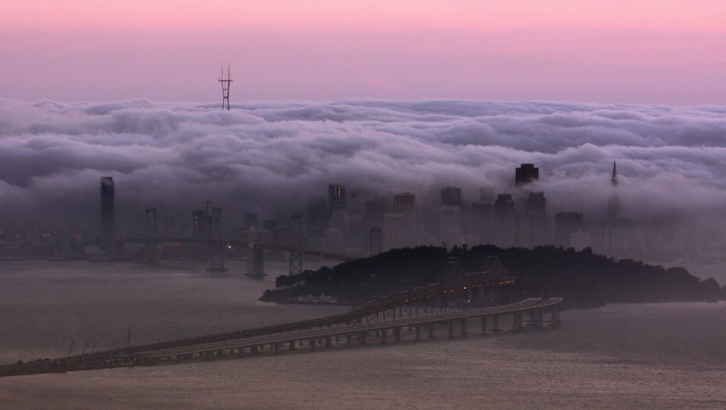
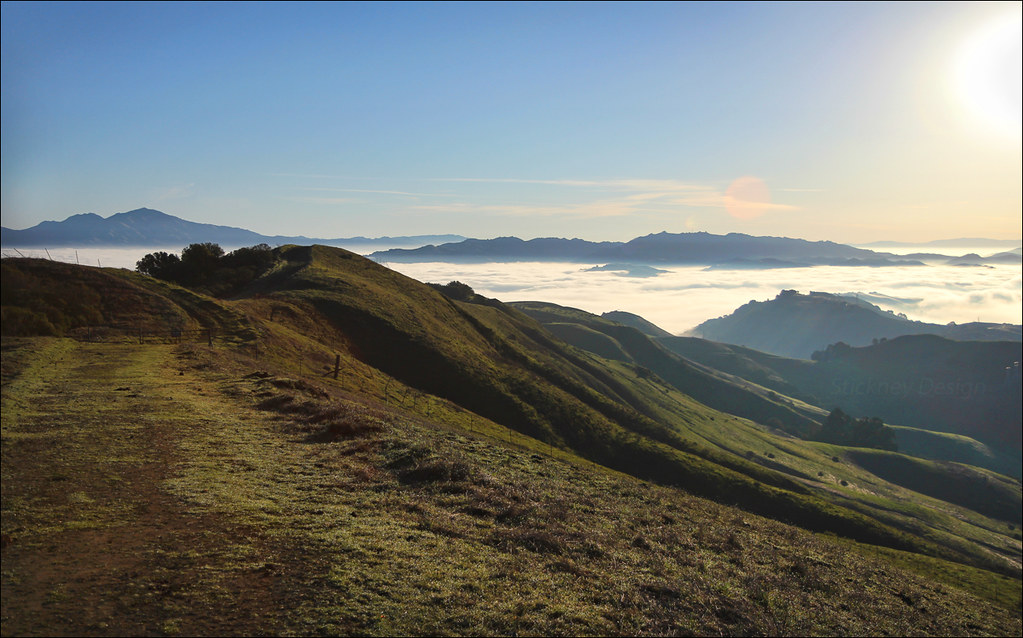
Fog Bath
After the Rains
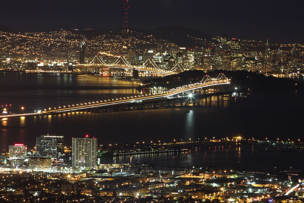
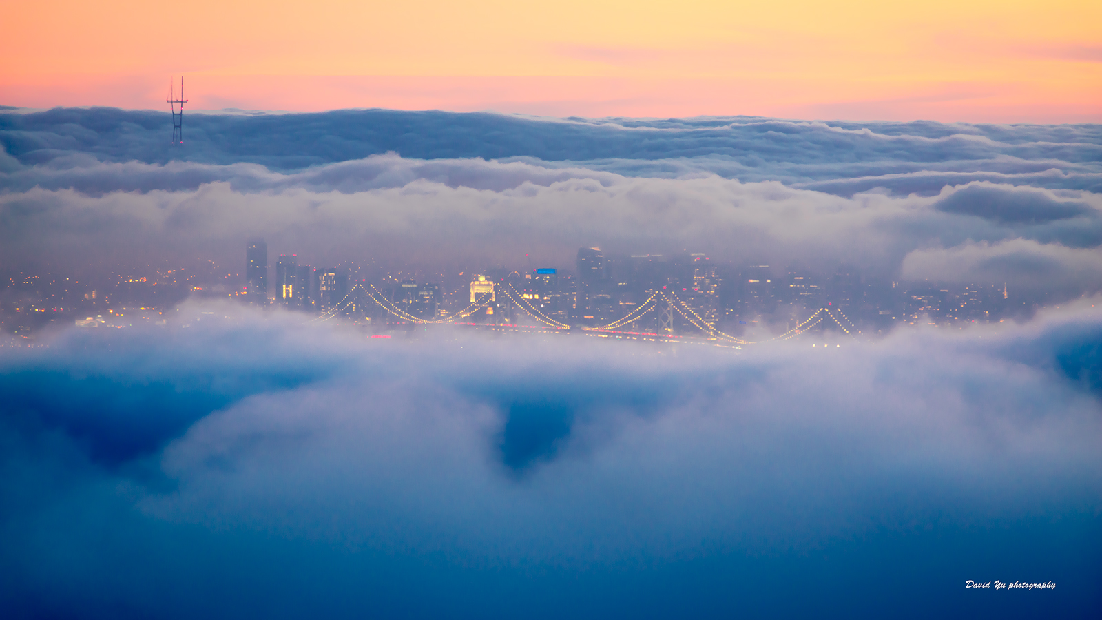
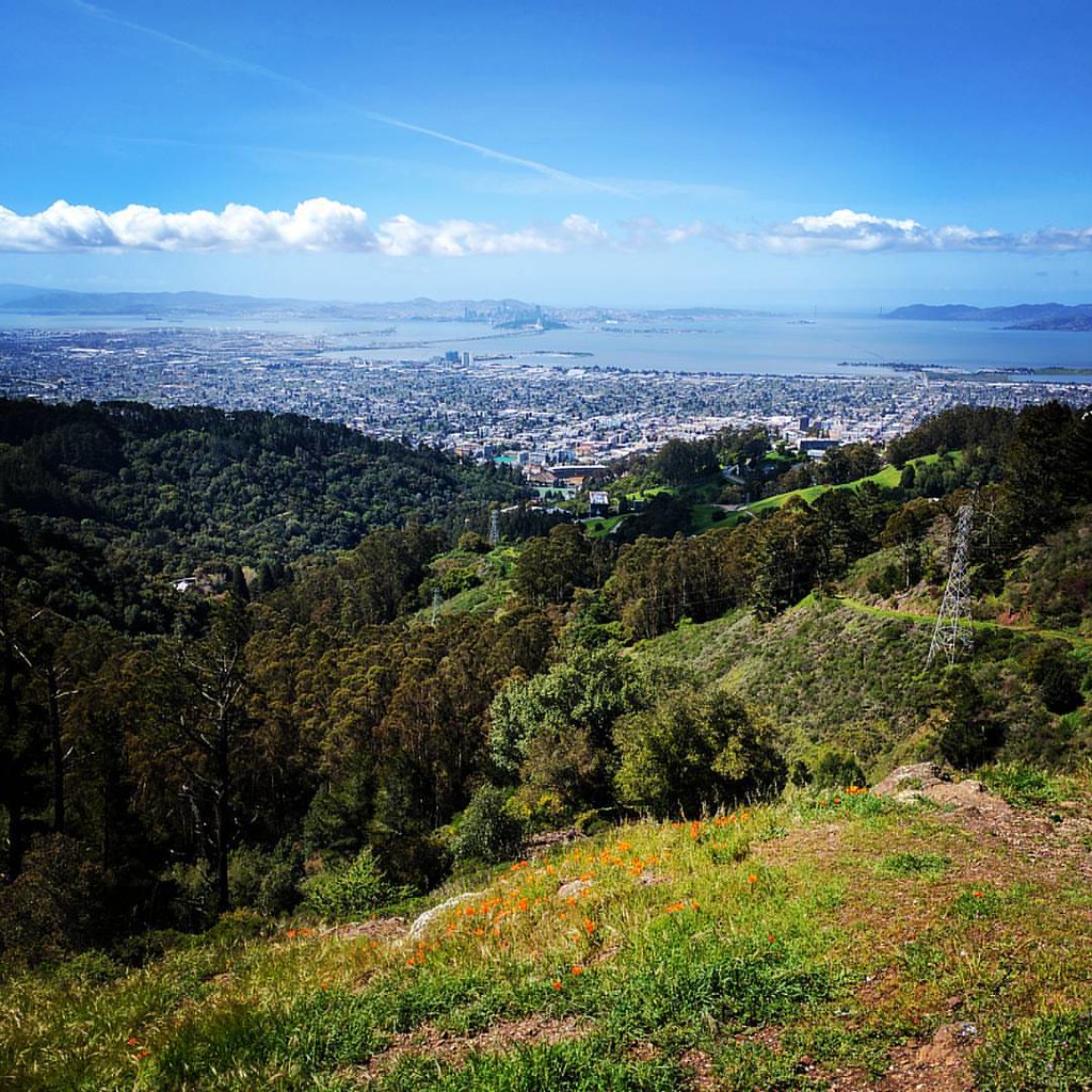
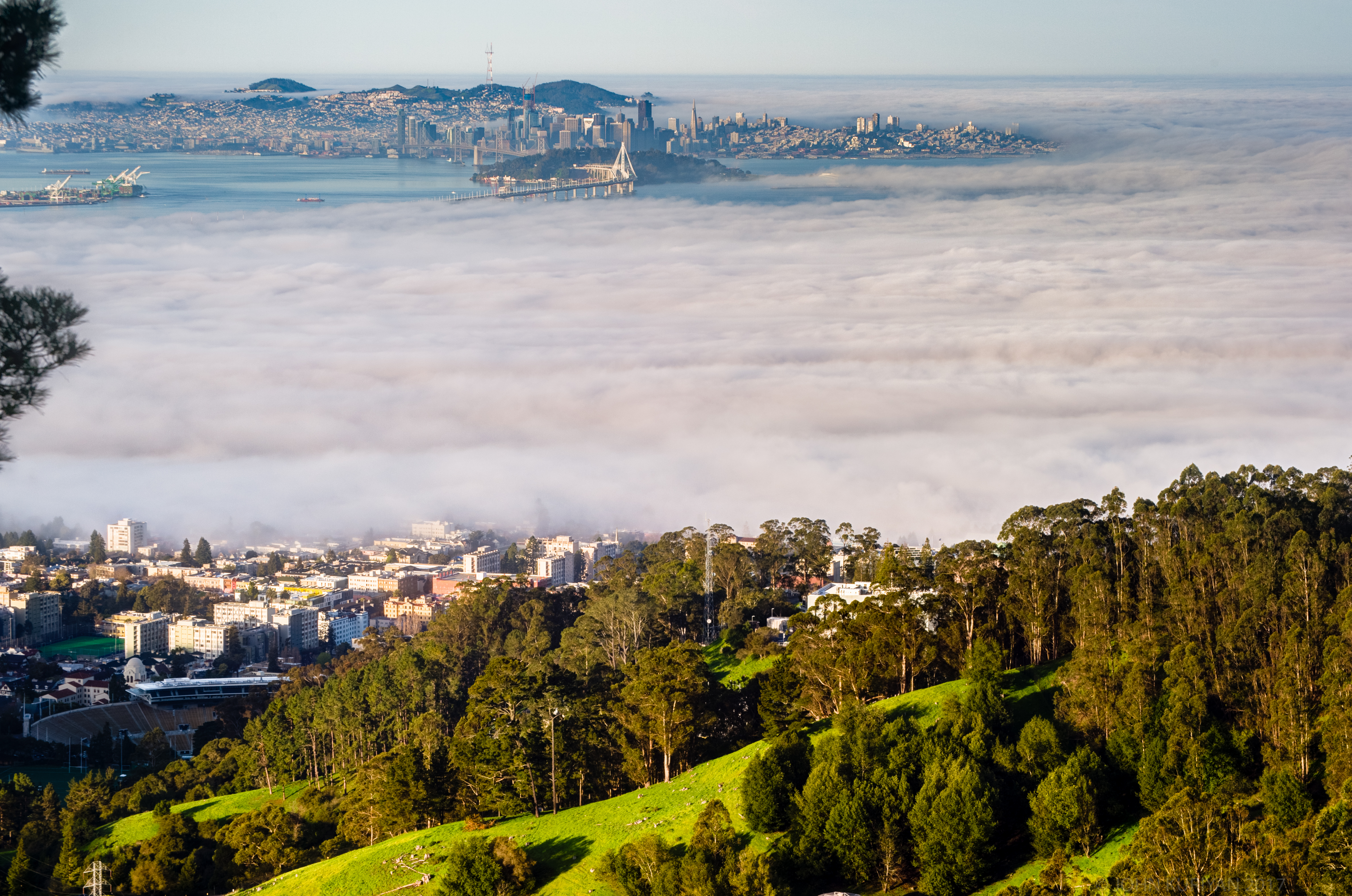
The Cities By the Bay

The Art Of A Dragonfly
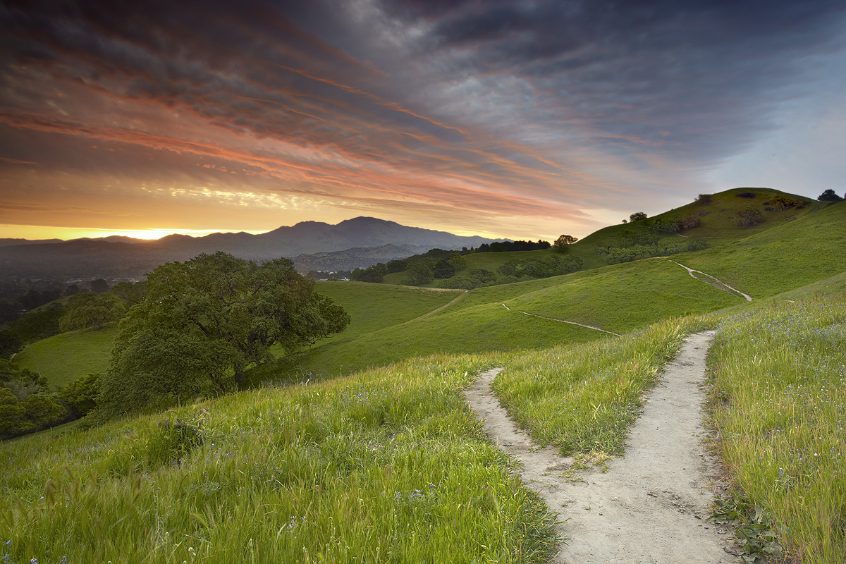
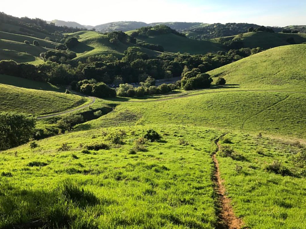
Fork In The Road - Walnut Creek, California
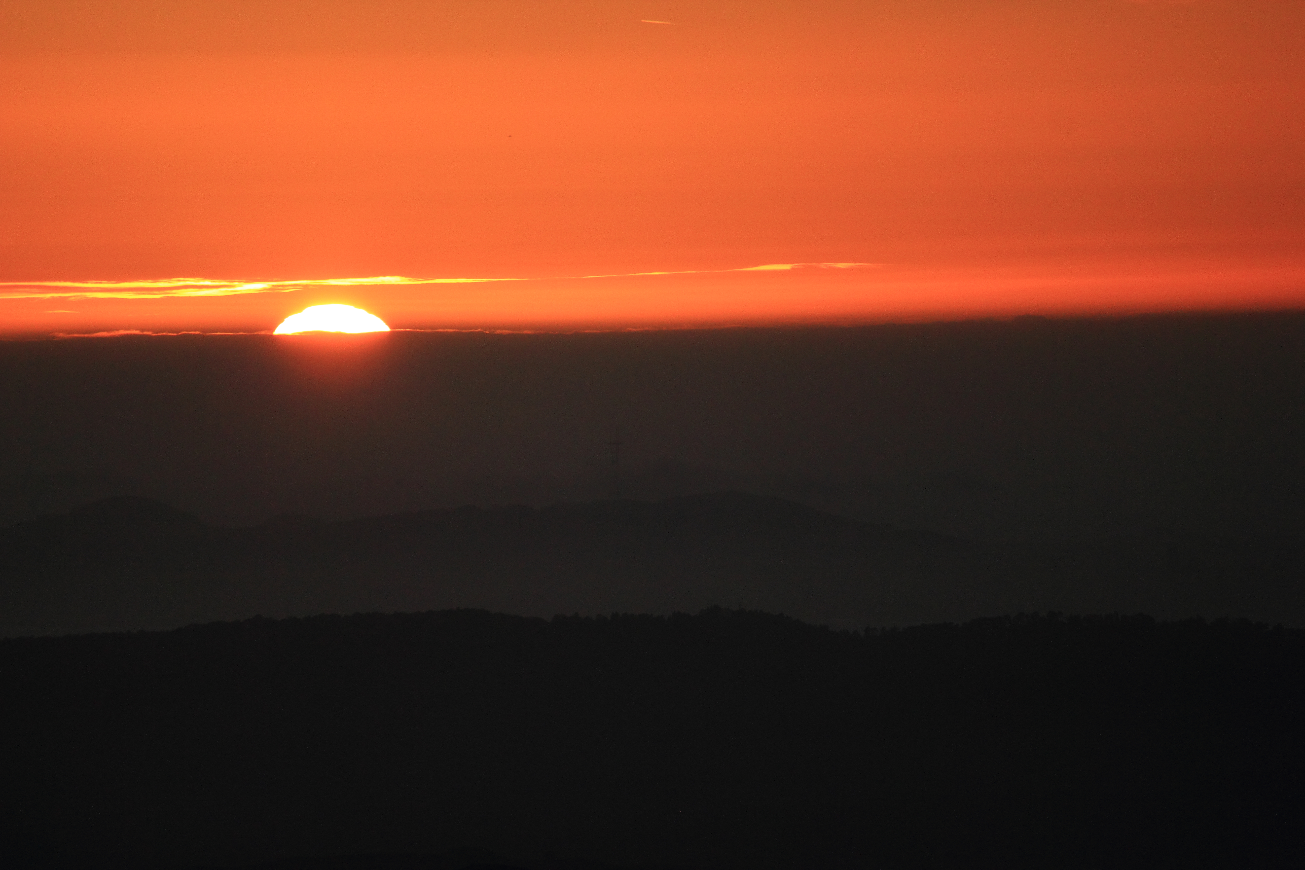
California Sunset
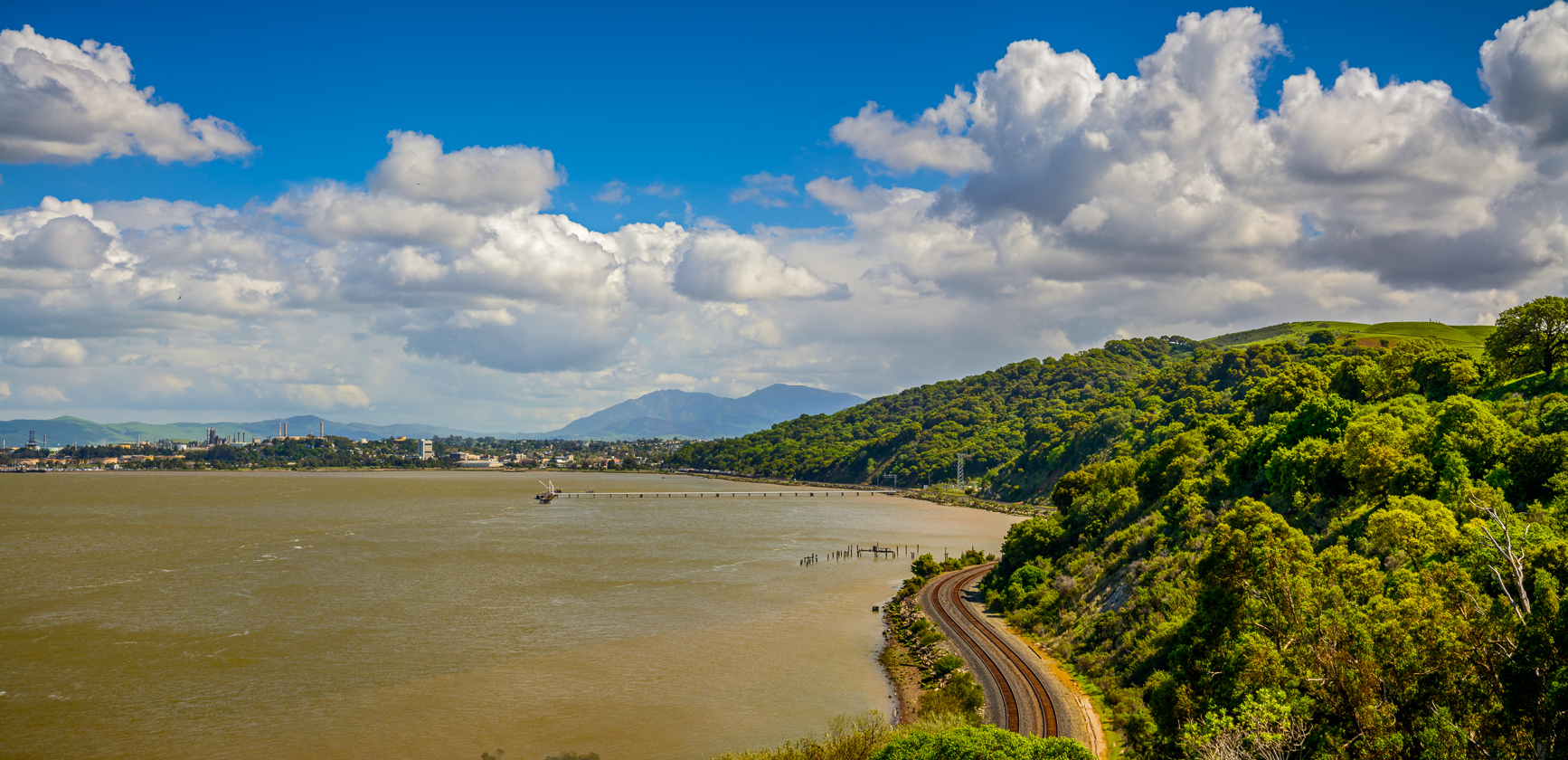
Carquinez Strait Regional Shoreline Scenic

The Bay Connection: Berkeley Hills, CA
Diablo Spring #1 - Lafayette, California
Hiking at Mt. Diablo, Contra Costa County, Northern California,
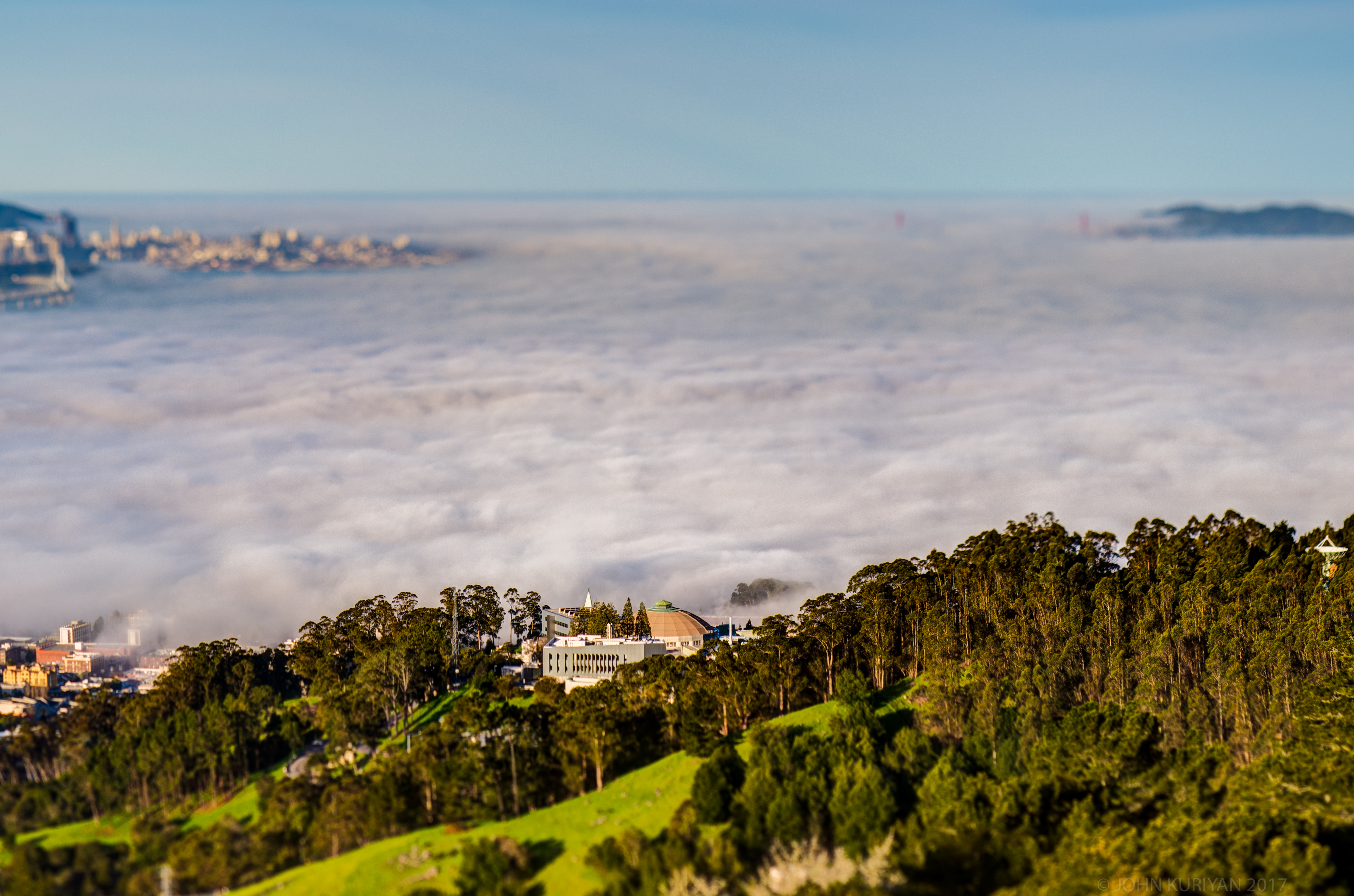
Fog city

Aerial view of Mount Diablo in Fog over Northern California
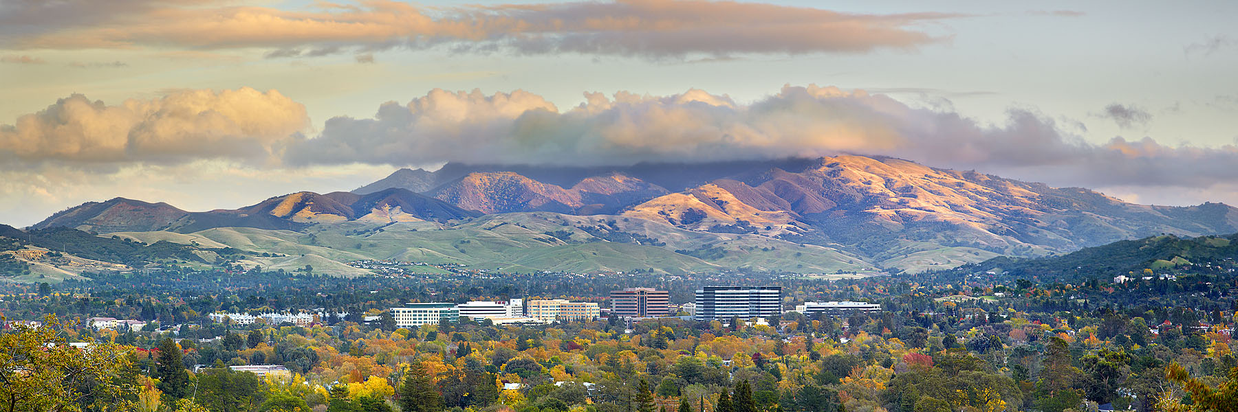
Diablo Valley View #1 - Pleasant Hill, California

'catchlight'

Mt Diablo Fisheye View

Diablo Dream
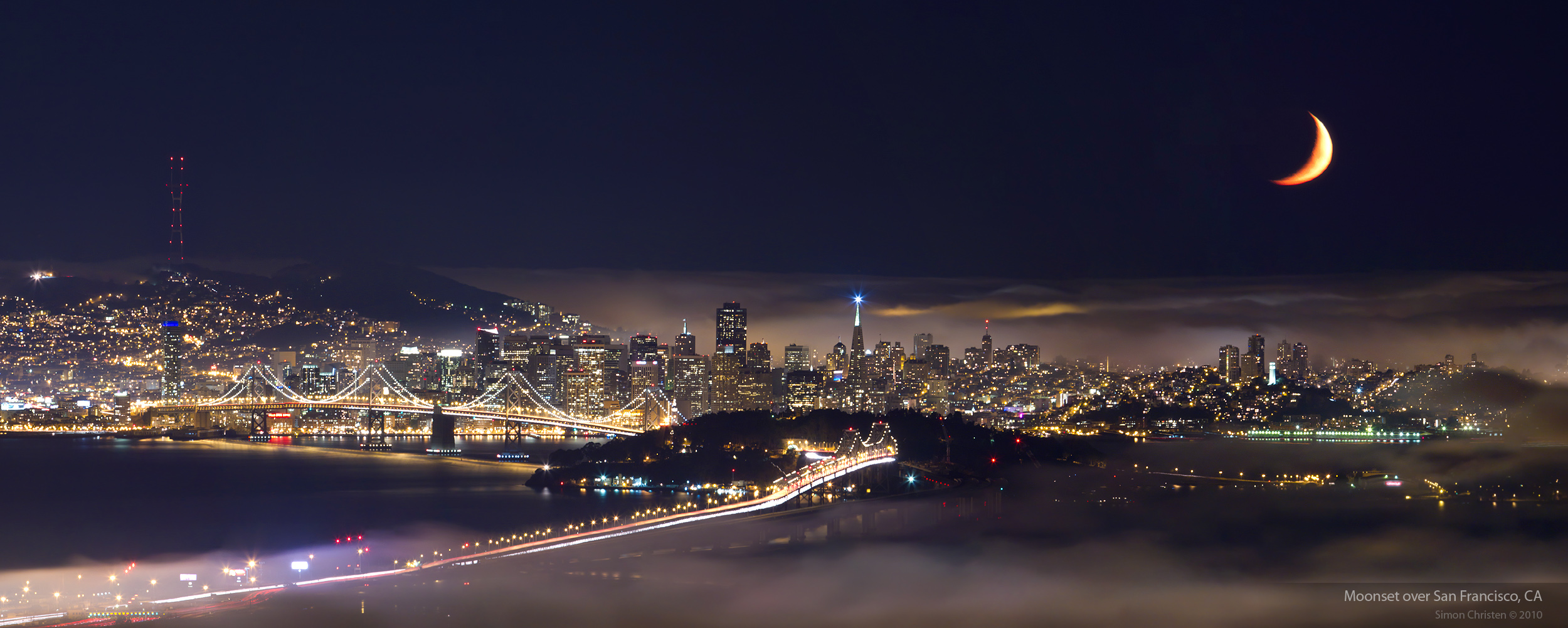
Moonset over San Francisco

The Fine Art of Surfacing
Mt. Diablo Sunset

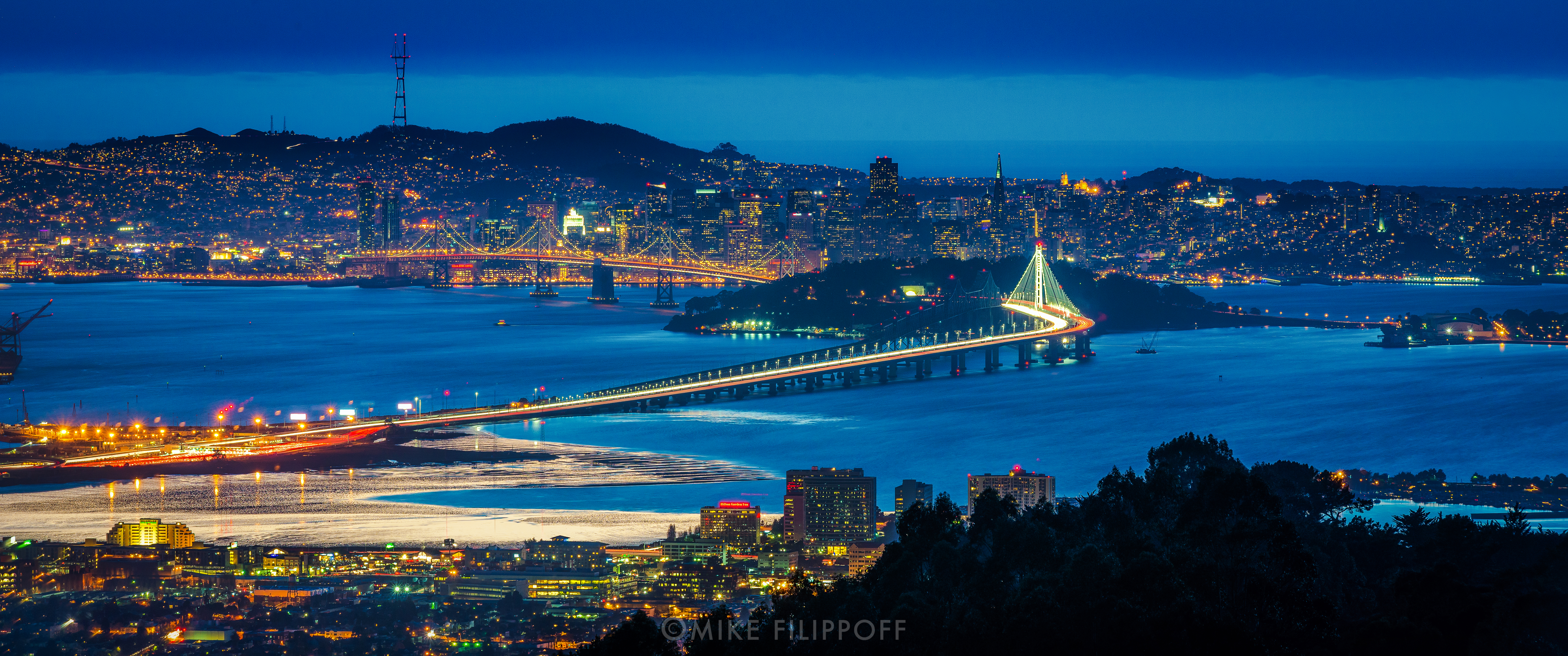
San Francisco Bay
San Francisco from Grizzly Peak Road

Mt. Diablo

Caught Up In The Rapture
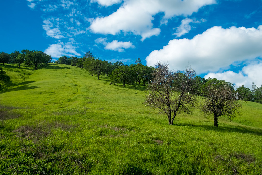
Nearly perfect day #green #hiking #california #cali #outside #spring #walking #norcal #landscape #briones #ebrpd
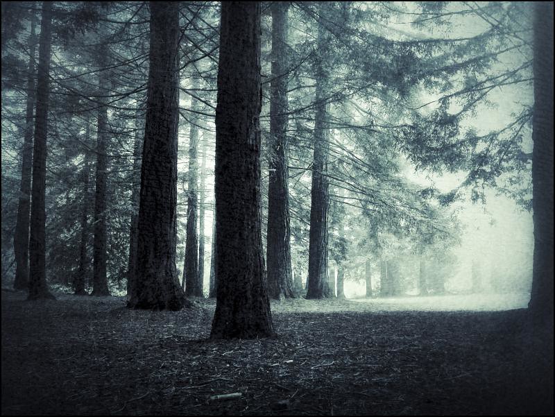
Forest Dream
Nearly perfect day #green #hiking #california #cali #outside #spring #walking #norcal #landscape #briones #ebrpd #shadows
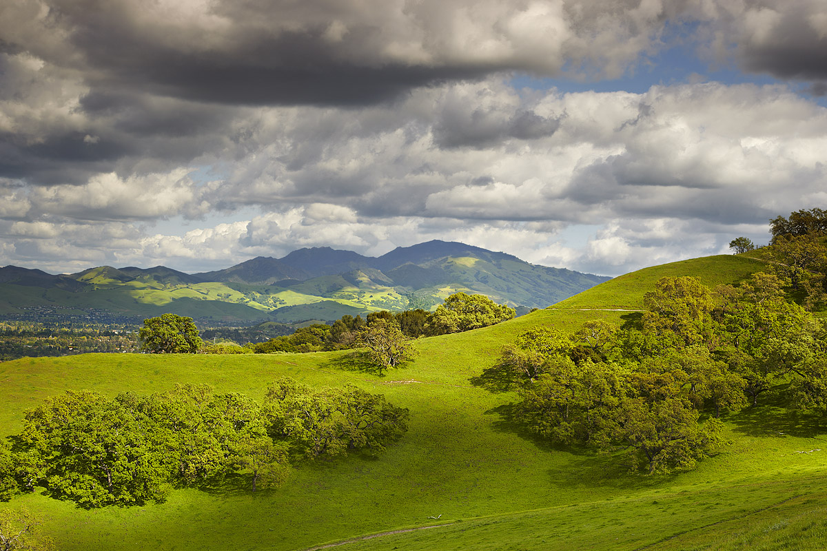
Mt. Diablo & Las Trampas Vista
Shadow of winter
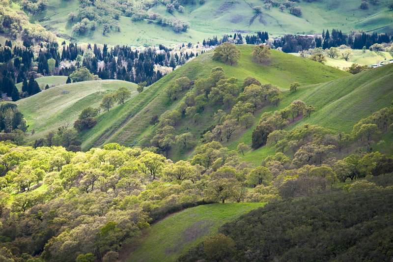
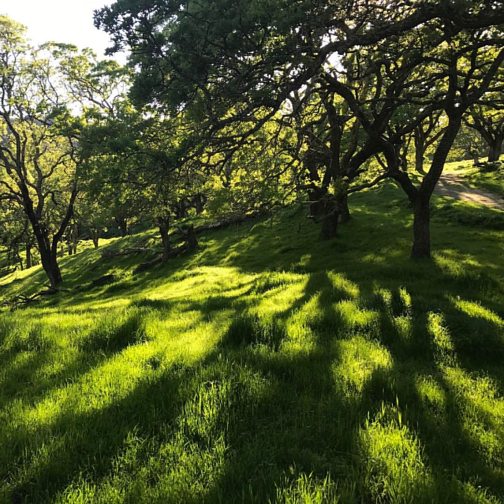
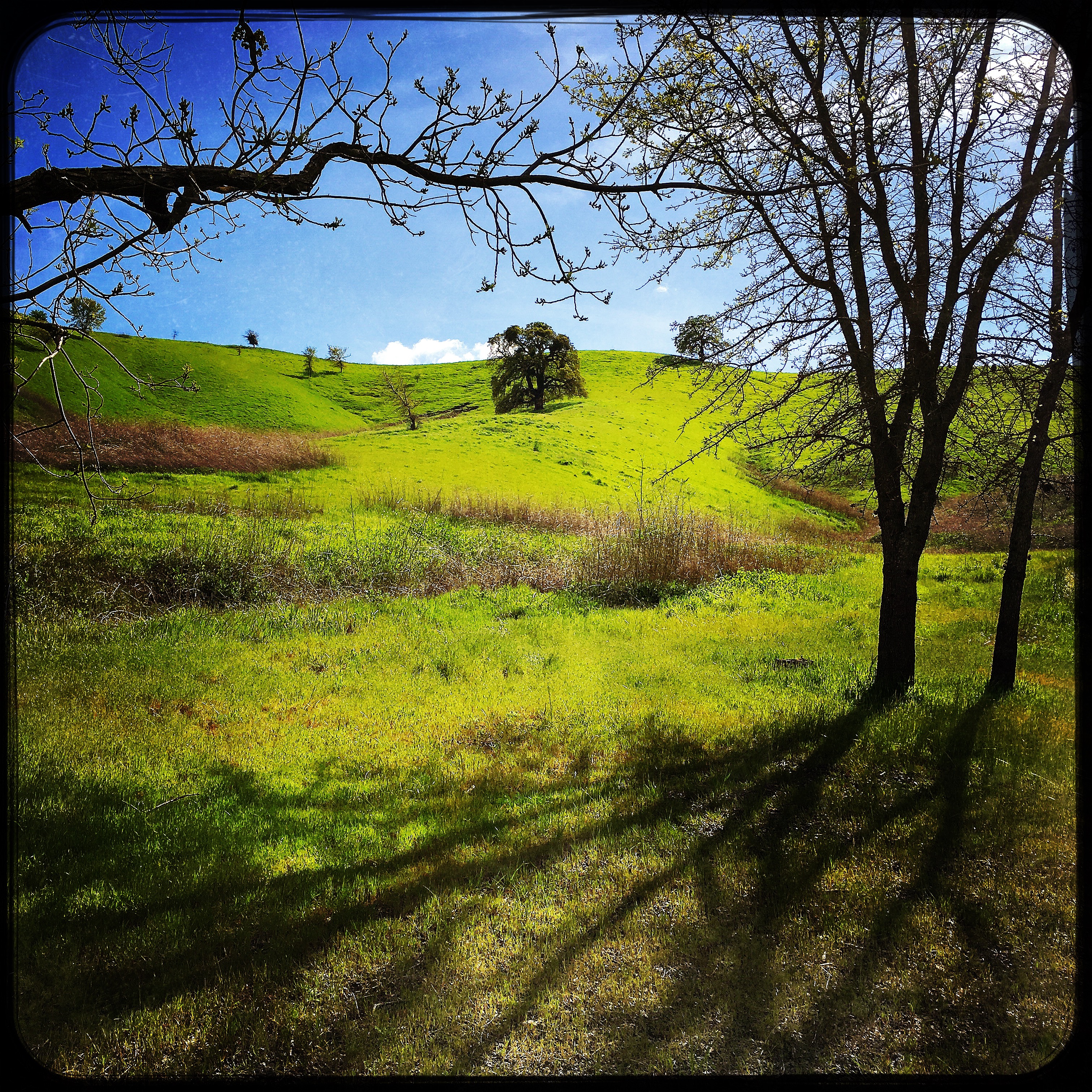
Spring View
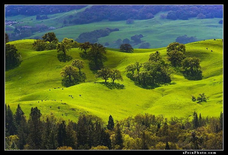
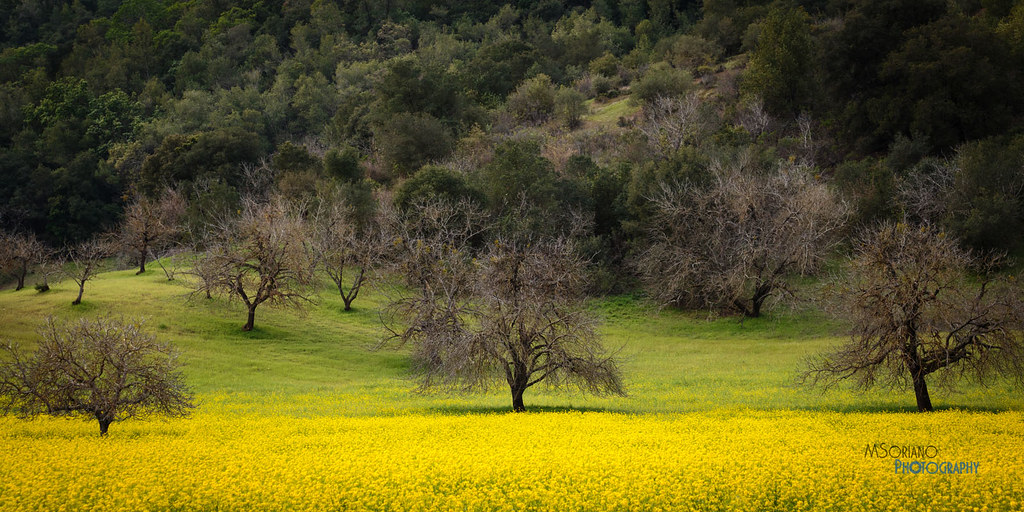
“California Green” (unreleased) © 2016 Winter of ’15-’16 left CA with some greens I had never seen before. I can only imagine what this spring is like. • • • • • • #outside_project #fineartphotography #afeinphoto #liveoutdoors #discoverear
Morning Fog over San Francisco Bay-1
sf sunset_01
Canyon Ridge Portrait

Enchanted Forest

Nearly perfect day #green #hiking #california #cali #outside #spring #walking #norcal #landscape #briones #ebrpd #shadows
Morning Fog over San Francisco Bay-6

George Miller Regional Trail
Topographic Map of Pleasant Hill, CA, USA
Find elevation by address:

Places near Pleasant Hill, CA, USA:
Gregory Lane
615 Maureen Ln
1978 May Ct
532 Masefield Dr
124 Vivian Dr
Pleasant Hill
31 Vivian Dr
107 Sylvia Dr
Pc Bridge
2934 Putnam Blvd
Ramona Drive
541 Odin Dr
1042 Santa Cruz Dr
Viking Drive
2063 Norse Dr
71 Viking Dr
59 Viking Dr
783 Harvard Dr
Harvey Dr, Walnut Creek, CA, USA
Sun Valley Mall
Recent Searches:
- Elevation of 6 Rue Jules Ferry, Beausoleil, France
- Elevation of Sattva Horizon, 4JC6+G9P, Vinayak Nagar, Kattigenahalli, Bengaluru, Karnataka, India
- Elevation of Great Brook Sports, Gold Star Hwy, Groton, CT, USA
- Elevation of 10 Mountain Laurels Dr, Nashua, NH, USA
- Elevation of 16 Gilboa Ln, Nashua, NH, USA
- Elevation of Laurel Rd, Townsend, TN, USA
- Elevation of 3 Nestling Wood Dr, Long Valley, NJ, USA
- Elevation of Ilungu, Tanzania
- Elevation of Yellow Springs Road, Yellow Springs Rd, Chester Springs, PA, USA
- Elevation of Rēzekne Municipality, Latvia