Elevation of Playmore Beach Rd, Lenoir, NC, USA
Location: United States > North Carolina > Caldwell County > Lenoir >
Longitude: -81.648187
Latitude: 35.8550834
Elevation: 367m / 1204feet
Barometric Pressure: 97KPa
Elevation Map:
Satellite Map:
Related Photos:

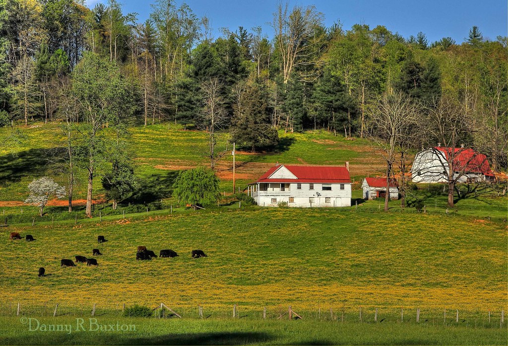
Moonset Over the Blue Ridge Mountains 48/52
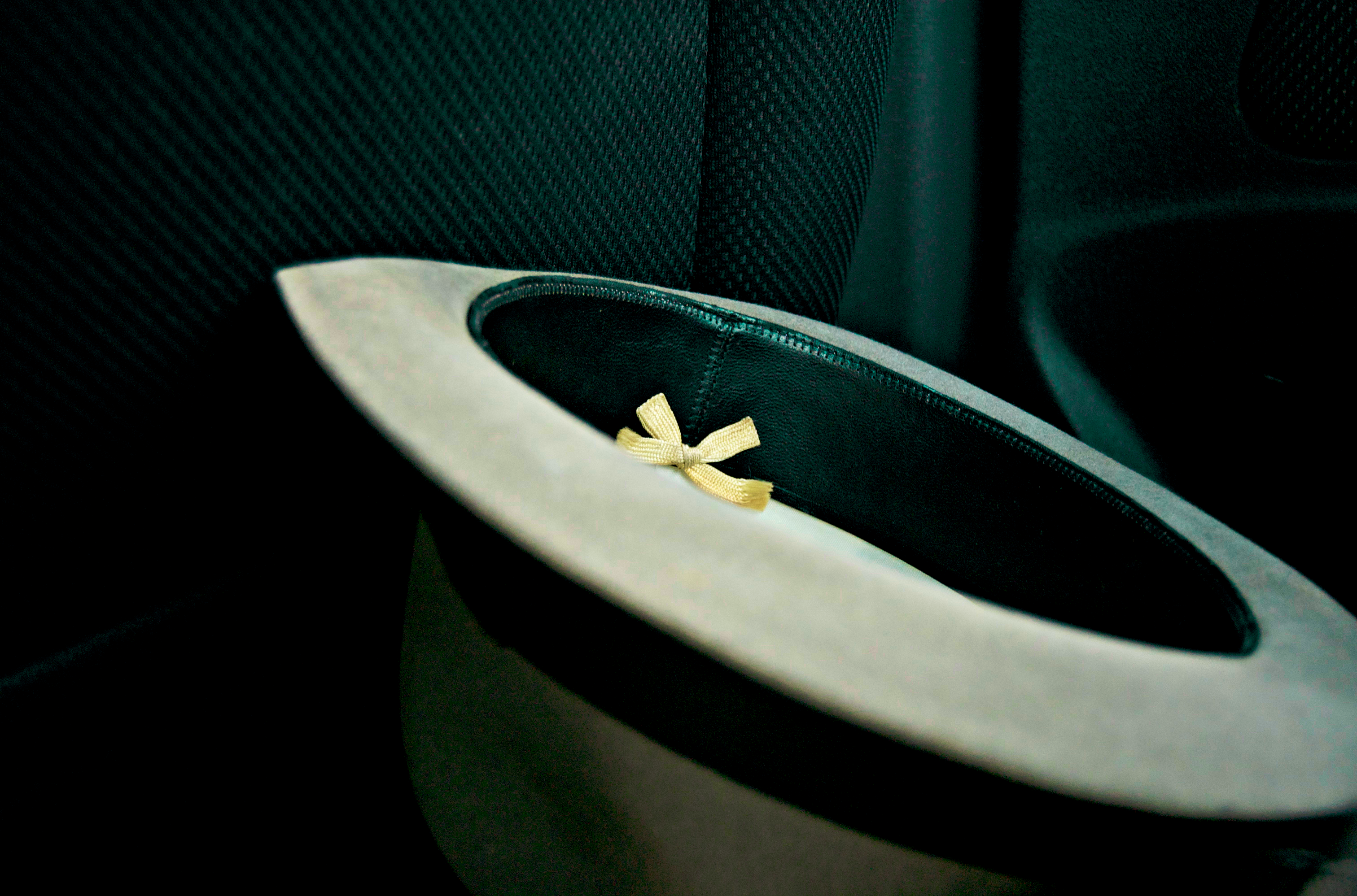
[Full View] Old Hat, Downtown Lenoir, Jonathan Cox Photoshoot

Public Grandeur in the 1890s

Hibriten Mountain
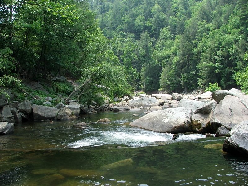
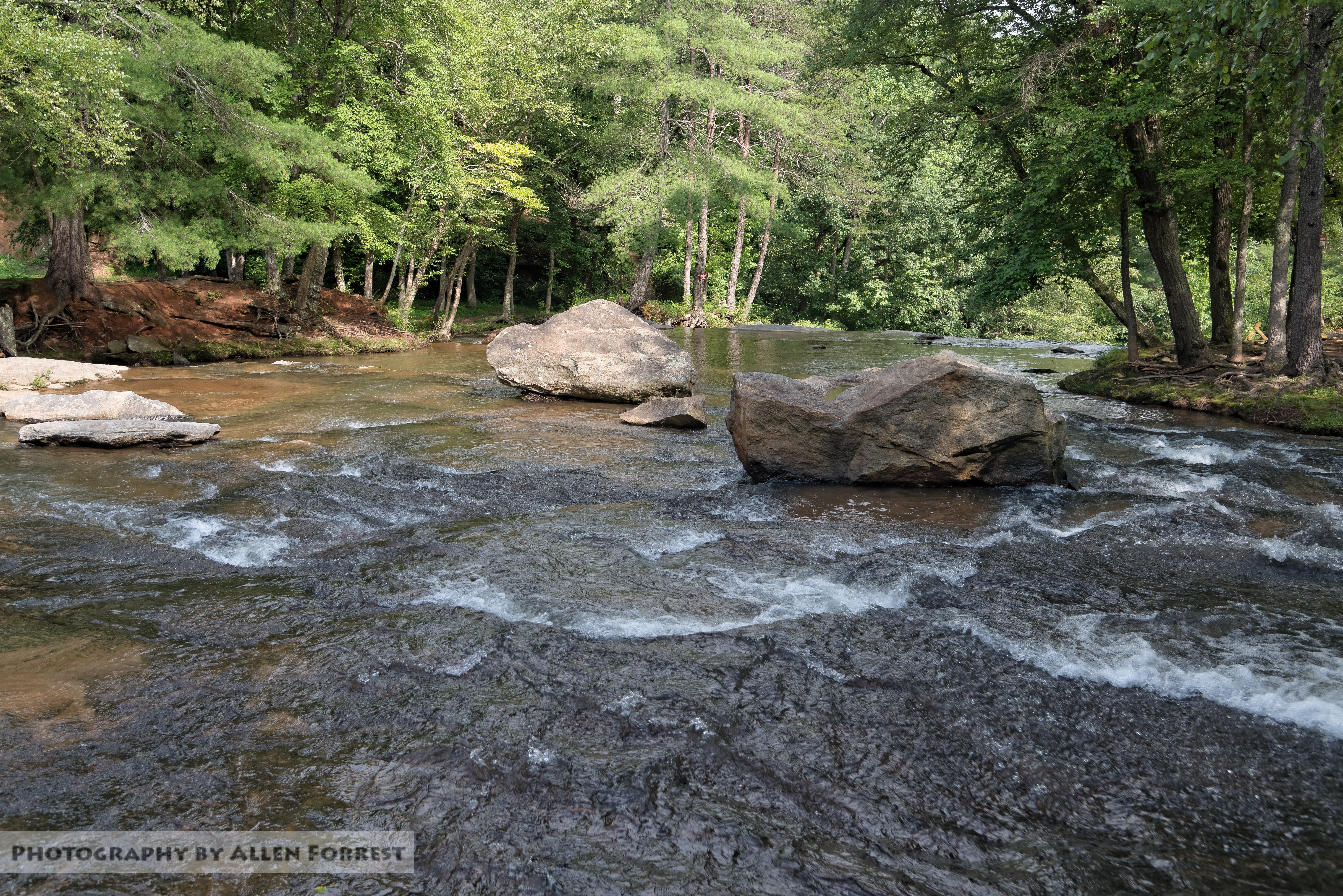
Wilson's Creek near Lenoir, NC

Hibriten Mountain

Front View, Caldwell County Courthouse

Brown Mountain OHV Trail

David Hopkins Photography-"The Booth"

Christmas in Morganton

Butterfly Bush

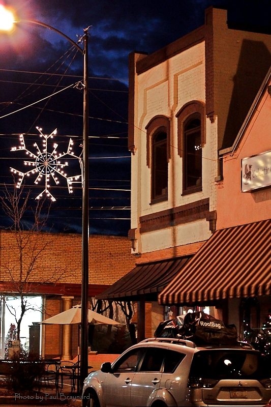
Downtown View

Smokey Creek Hunting Club

McGalliard Falls Wide View

Mt. Mitchell

Clouds Break Over the Blue Ridge
Downtown Morganton View

Smokey Creek Hunting Club
Mountain View, Morganton, NC

View from Morganton Train Station, Morganton, NC

Mountain View, Morganton, NC
Irish Creek Farm 15/52

Gentle Flows

Wilson Creek, Pisgah National Forest, North Carolina

Broughton Hospital

Brown Mountain Beach Road, Pisgah National Forest, North Carolina

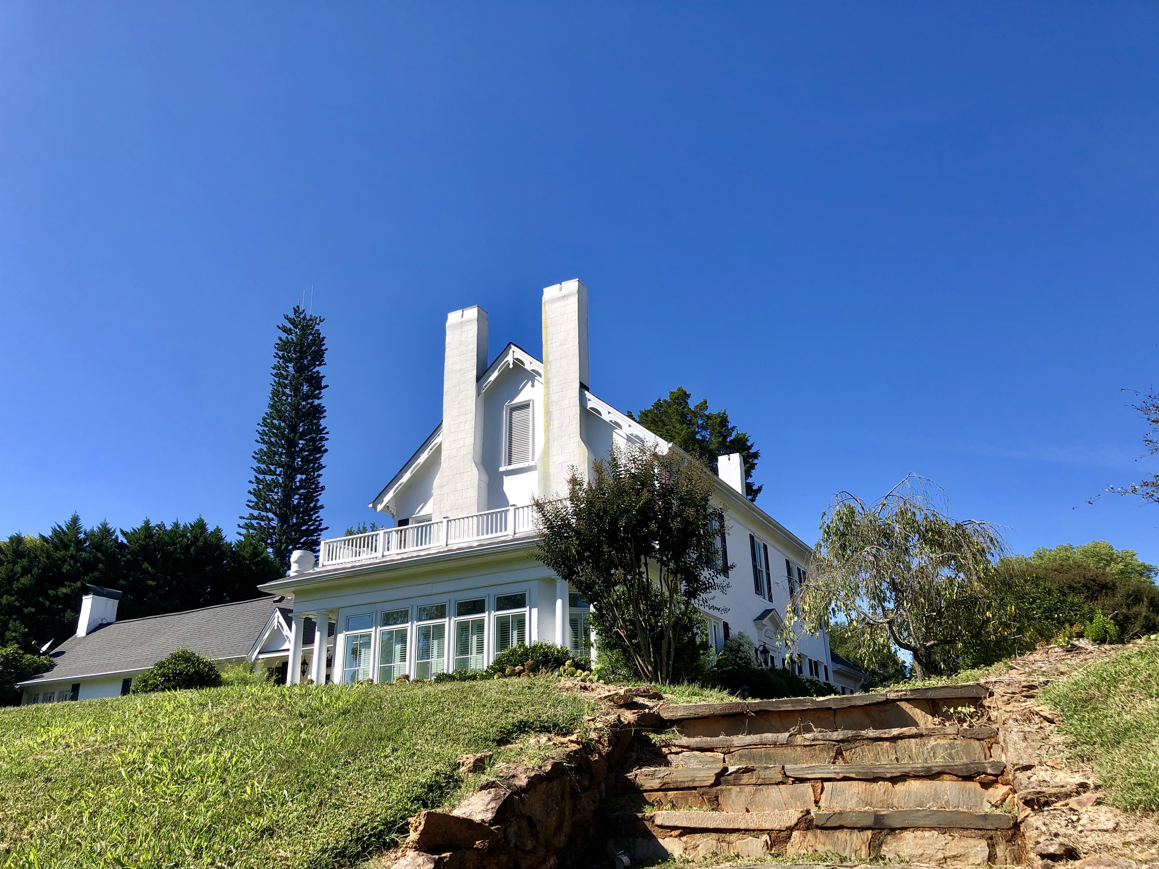
Superintendant's Residence North Carolina School for the Deaf Morganton NC

Wilson Creek Wild and Scenic River, North Carolina

House 407 West Union St Morganton NC

Hibriten Mountain
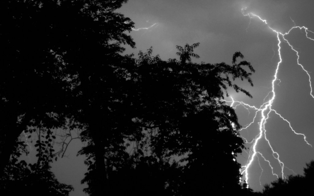
Finally... Some Fireworks...

McGalliard Falls

McGalliard Falls
McGalliard Falls

McGalliard Falls - 11

McGalliard Falls - 12

McGalliard Falls - 04
Topographic Map of Playmore Beach Rd, Lenoir, NC, USA
Find elevation by address:

Places near Playmore Beach Rd, Lenoir, NC, USA:
Playmore Beach Rd, Lenoir, NC, USA
Lower Creek
Pennsylvania Ave, Lenoir, NC, USA
3998 Pax Hill Rd
3740 Pax Hill Rd
2728 Pax Hill Rd
3539 Majestic View Pl
NC-18, Morganton, NC, USA
3639 Townsend Farm Ln
1070 Ragsdale Rd
Smoky Creek
Craig Mountain Rd, Lenoir, NC, USA
2761 Old Johns River Rd
4596 State Rd 1232
Amherst
1723 Piedmont Rd
Smokey Creek
114 River Hills Way
217 Sherwood Pl
2074 Warrior Fork Trail
Recent Searches:
- Elevation of Shibuya Scramble Crossing, 21 Udagawacho, Shibuya City, Tokyo -, Japan
- Elevation of Jadagoniai, Kaunas District Municipality, Lithuania
- Elevation of Pagonija rock, Kranto 7-oji g. 8"N, Kaunas, Lithuania
- Elevation of Co Rd 87, Jamestown, CO, USA
- Elevation of Tenjo, Cundinamarca, Colombia
- Elevation of Côte-des-Neiges, Montreal, QC H4A 3J6, Canada
- Elevation of Bobcat Dr, Helena, MT, USA
- Elevation of Zu den Ihlowbergen, Althüttendorf, Germany
- Elevation of Badaber, Peshawar, Khyber Pakhtunkhwa, Pakistan
- Elevation of SE Heron Loop, Lincoln City, OR, USA