Elevation of Plato Rd, West Branch, IA, USA
Location: United States > Iowa > Cedar County > Gower >
Longitude: -91.310316
Latitude: 41.7475286
Elevation: 252m / 827feet
Barometric Pressure: 98KPa
Elevation Map:
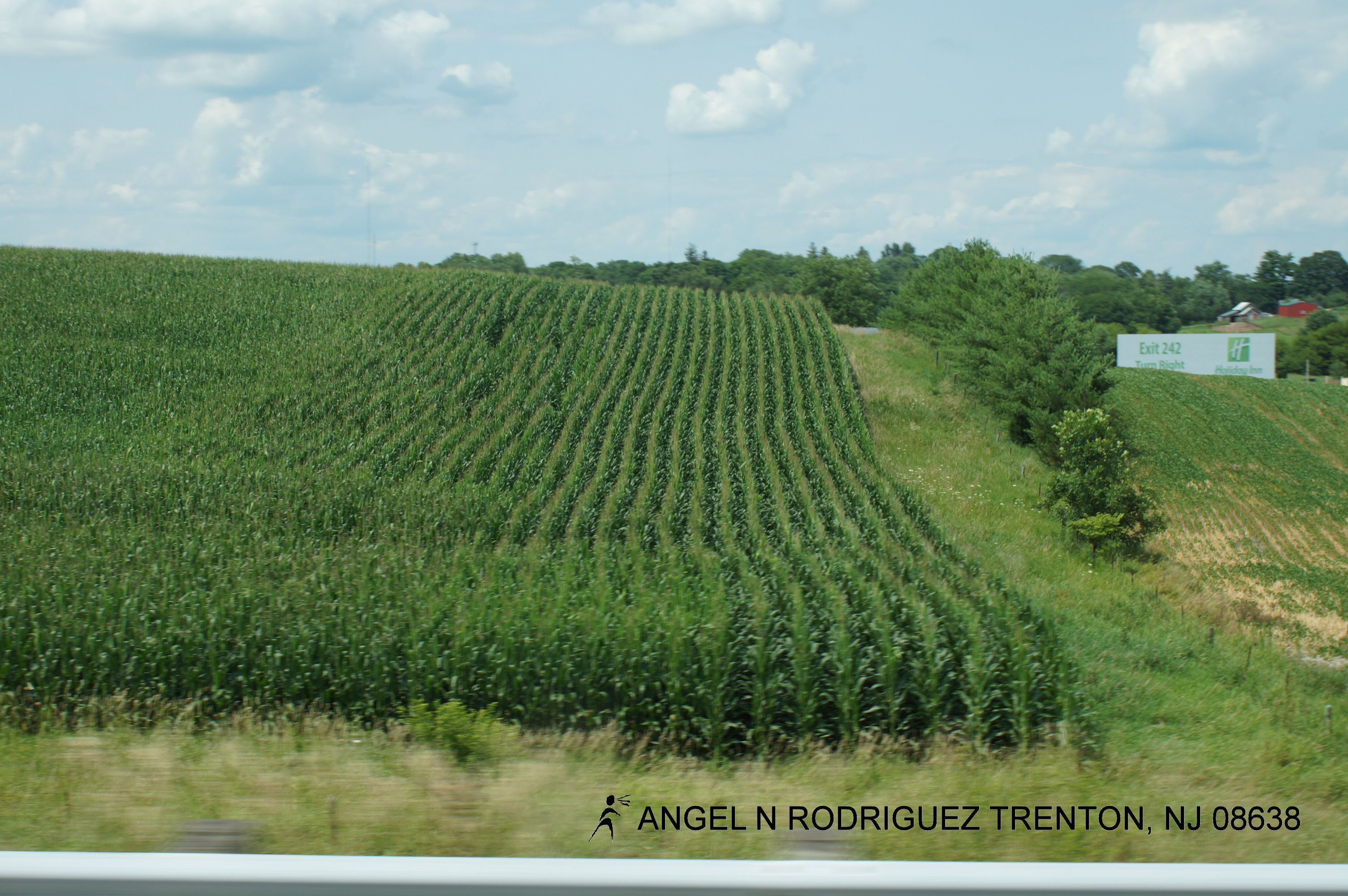
Satellite Map:
Related Photos:

Herbert Hoover Presidential Library & Museum

Herbert Hoover Presidential Library & Museum

Herbert Hoover Presidential Library & Museum

Herbert Hoover Presidential Library & Museum

Herbert Hoover Presidential Library & Museum

Near Iowa City, Iowa

Iowa Sky, 2012

December Spring

Eye Oh Wah

Cedar River Overflow

Weeping Willows @ Wilson's Apple Orchard

Wilson's Orchard
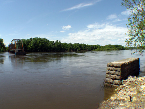
The river that knocked out Sutliff Bridge
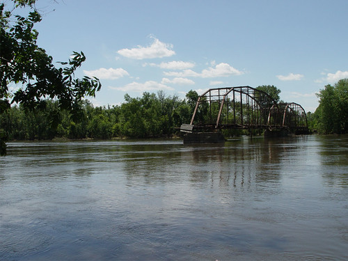
Sutliff Bridge, half gone.

West Branch, IA

Wilson's Orchard

Herbert Hoover National Historic Site
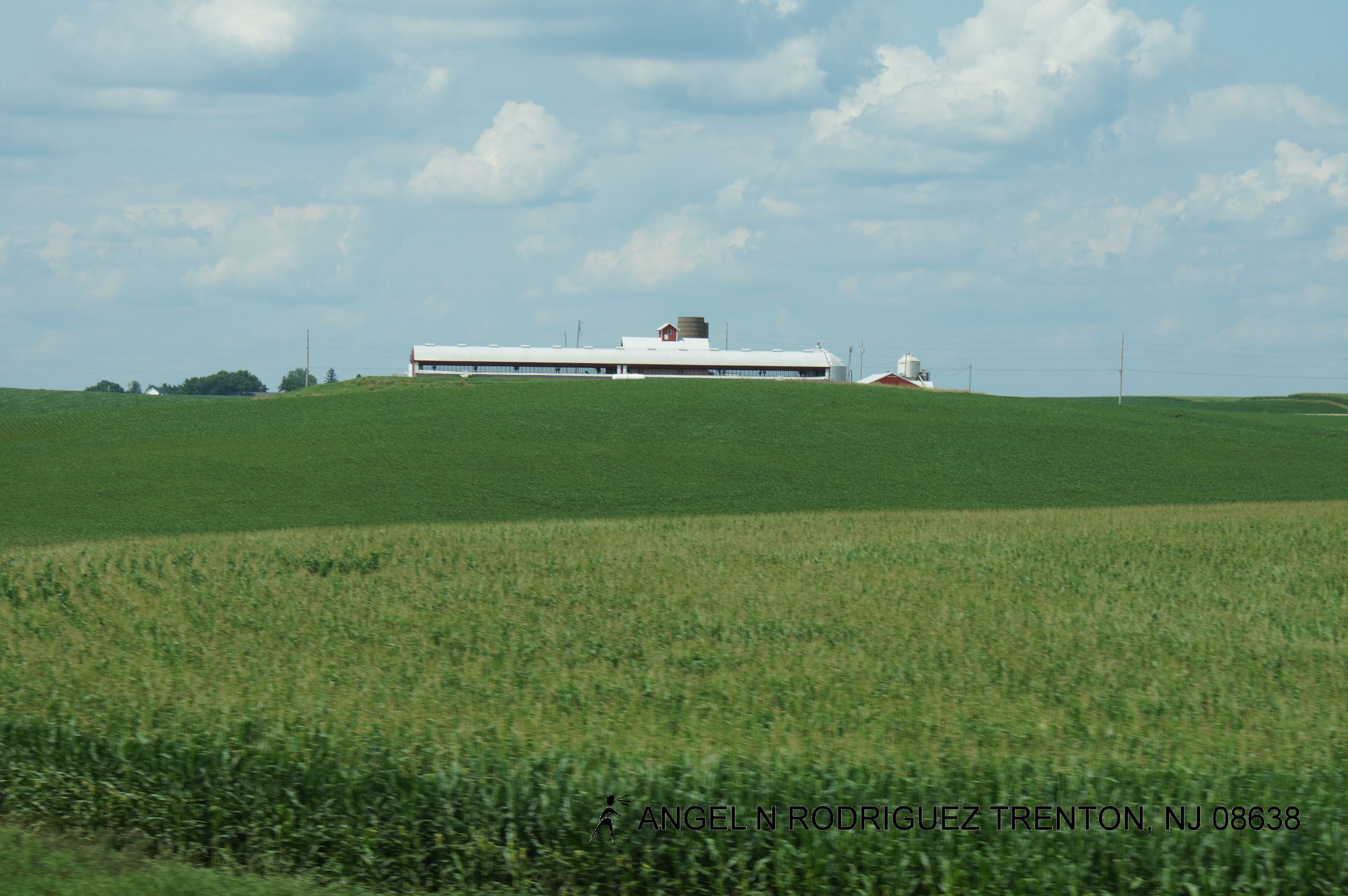
Roadtex pictures

Roadtex pictures
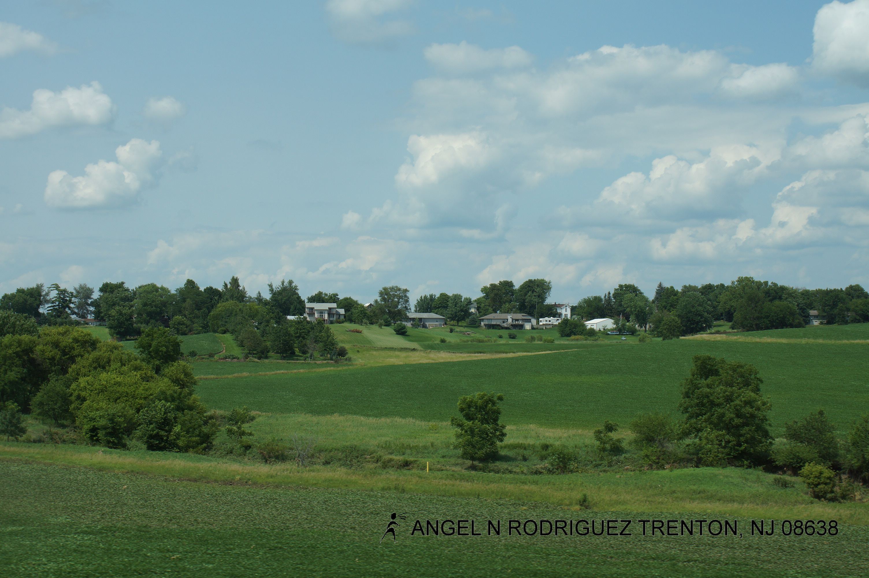
Roadtex pictures

Roadtex pictures
Roadtex pictures

Roadtex pictures
Topographic Map of Plato Rd, West Branch, IA, USA
Find elevation by address:

Places near Plato Rd, West Branch, IA, USA:
Gower
N 1st St, West Branch, IA, USA
West Branch
Springdale
5642 130th St Ne
Baker Ave, West Branch, IA, USA
400 E South St
Tipton
Cedar St, Tipton, IA, USA
Fremont
E Main St, Lisbon, IA, USA
Lisbon
Center
Cedar County
1298 Elder Ridge Rd
Tipton, IA, USA
Stanwood
E Broadway St, Stanwood, IA, USA
Greenfield
24051 30th St
Recent Searches:
- Elevation of Unnamed Road, Respublika Severnaya Osetiya — Alaniya, Russia
- Elevation of Verkhny Fiagdon, North Ossetia–Alania Republic, Russia
- Elevation of F. Viola Hiway, San Rafael, Bulacan, Philippines
- Elevation of Herbage Dr, Gulfport, MS, USA
- Elevation of Lilac Cir, Haldimand, ON N3W 2G9, Canada
- Elevation of Harrod Branch Road, Harrod Branch Rd, Kentucky, USA
- Elevation of Wyndham Grand Barbados Sam Lords Castle All Inclusive Resort, End of Belair Road, Long Bay, Bridgetown Barbados
- Elevation of Iga Trl, Maggie Valley, NC, USA
- Elevation of N Co Rd 31D, Loveland, CO, USA
- Elevation of Lindever Ln, Palmetto, FL, USA