Elevation of Plainfield, NY, USA
Location: United States > New York > Otsego County >
Longitude: -75.189557
Latitude: 42.8341831
Elevation: 472m / 1549feet
Barometric Pressure: 96KPa
Elevation Map:
Satellite Map:
Related Photos:
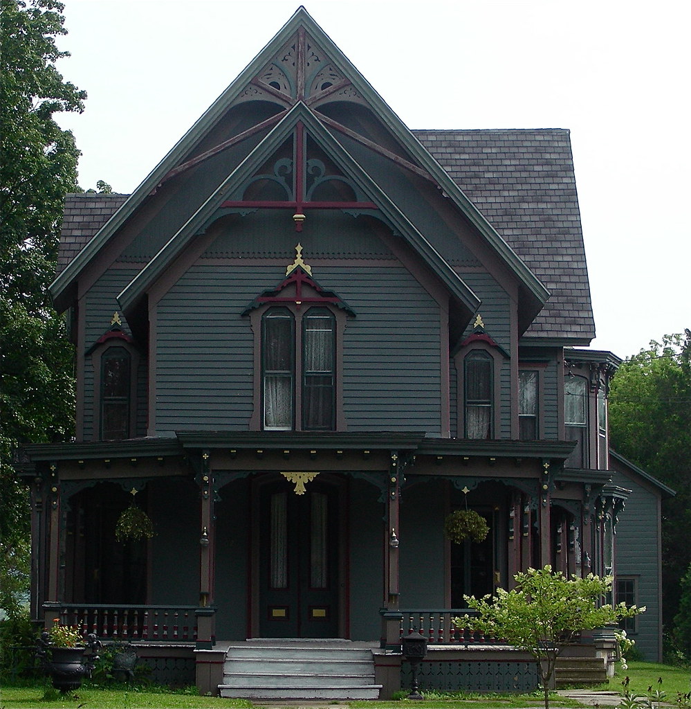
Queen Anne Victorian
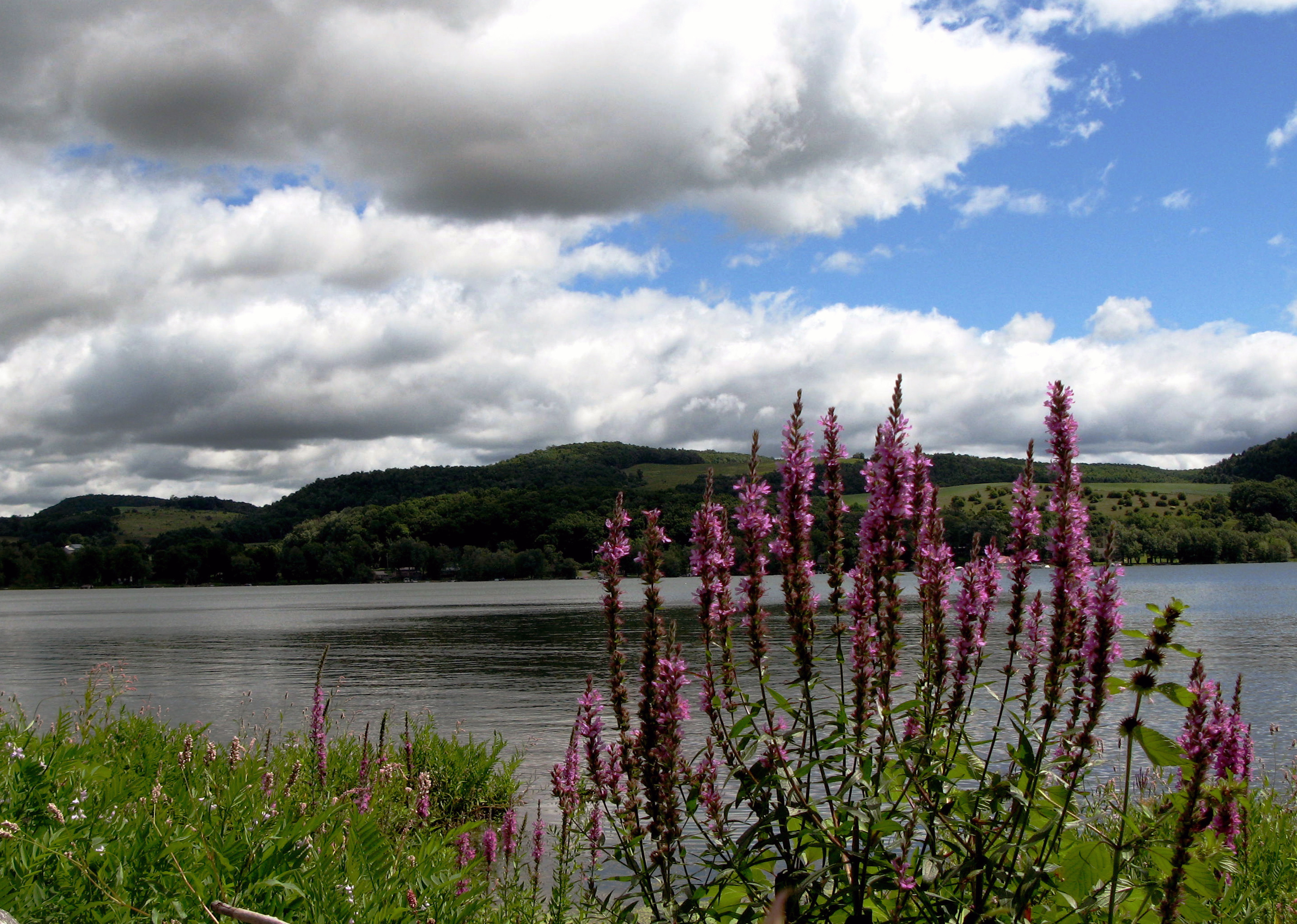
Lake Canadarago
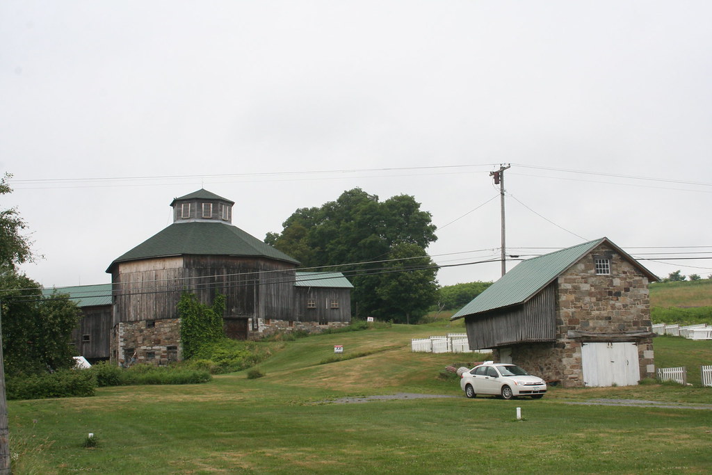
Baker Octagon Barn (added 1984 - - #84002887)
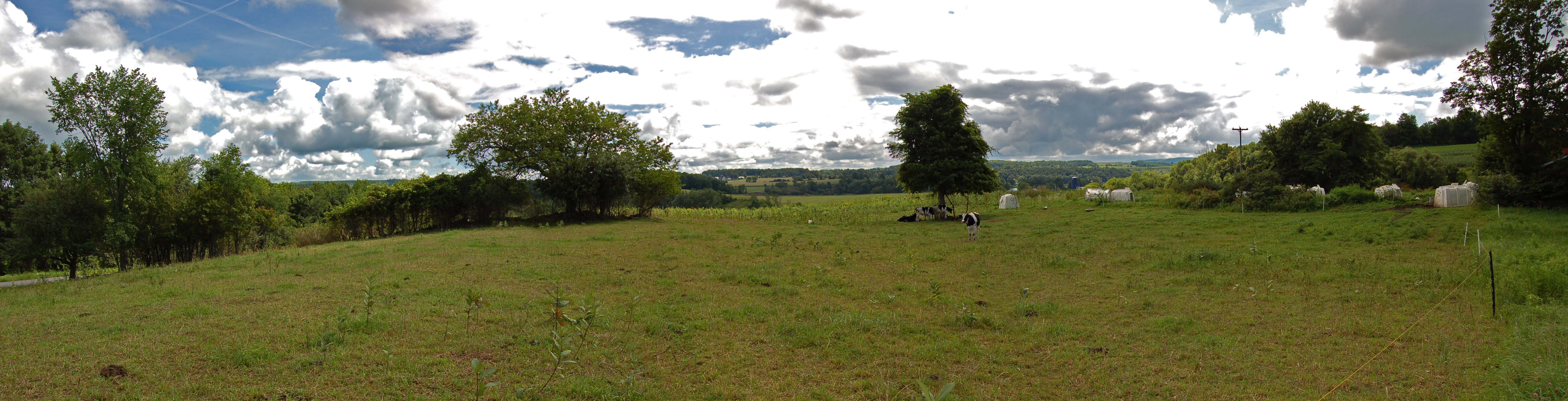
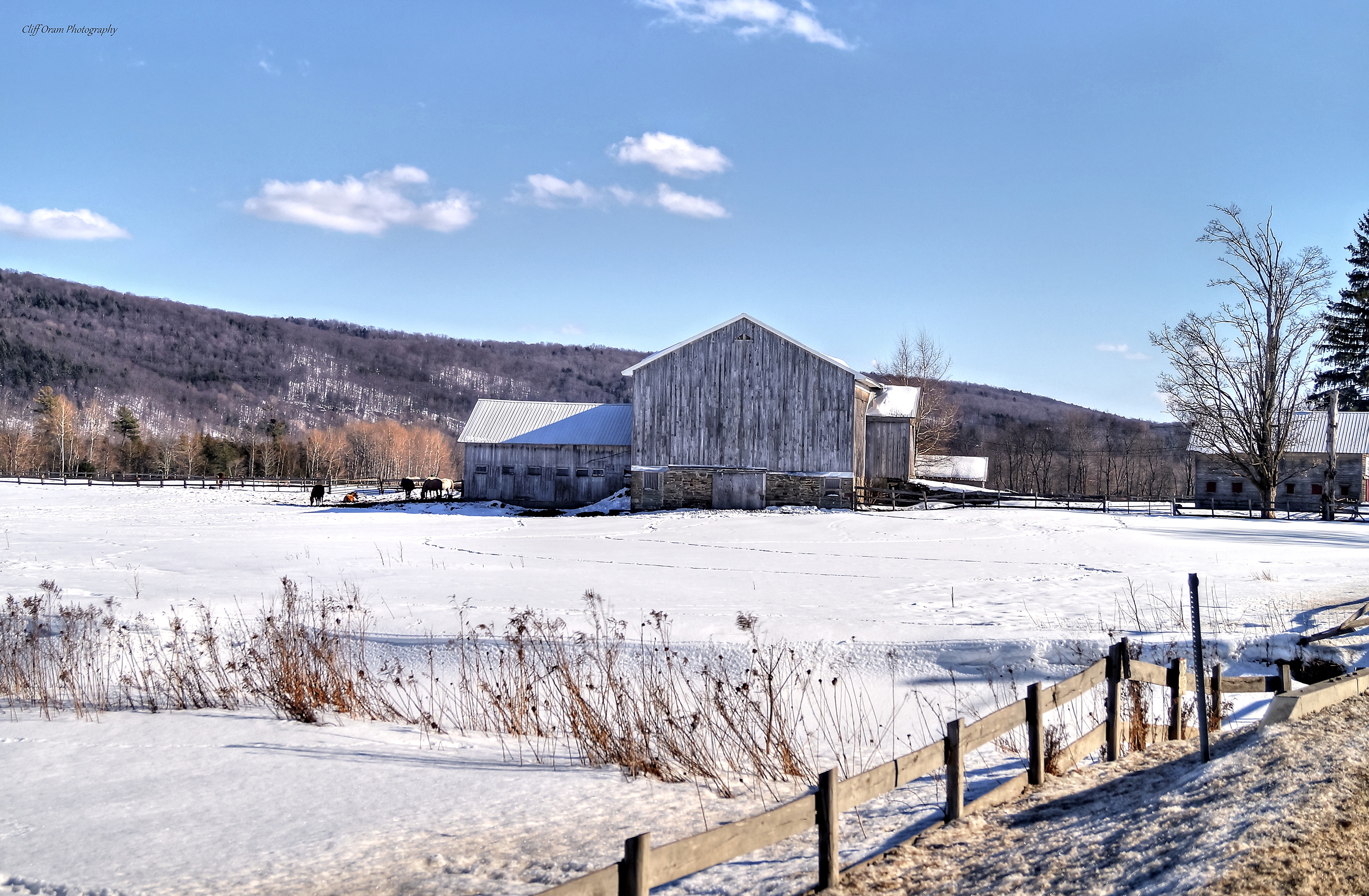
Farm Panorama
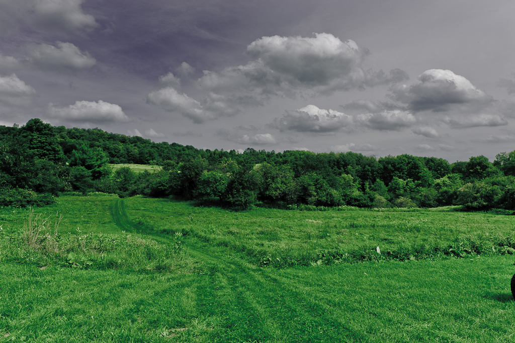
looks like rain. . . .

Basswood Pond
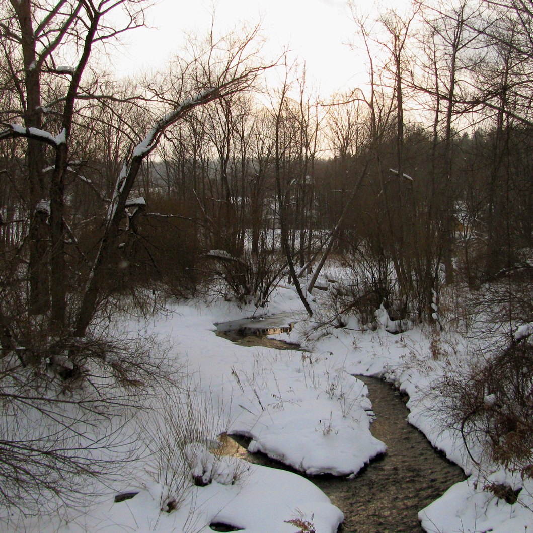
Field Of Snow
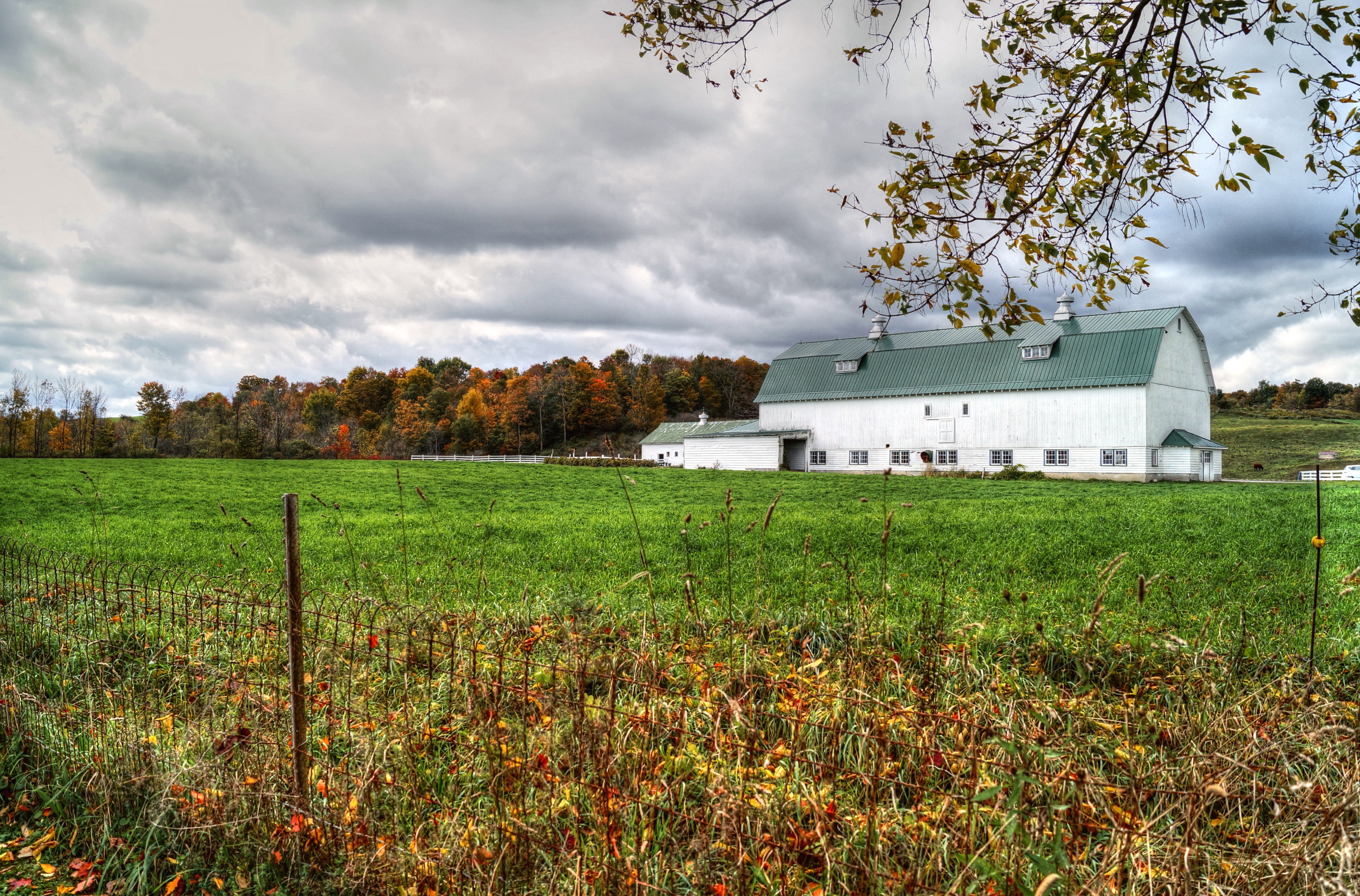
Cedarville Barn
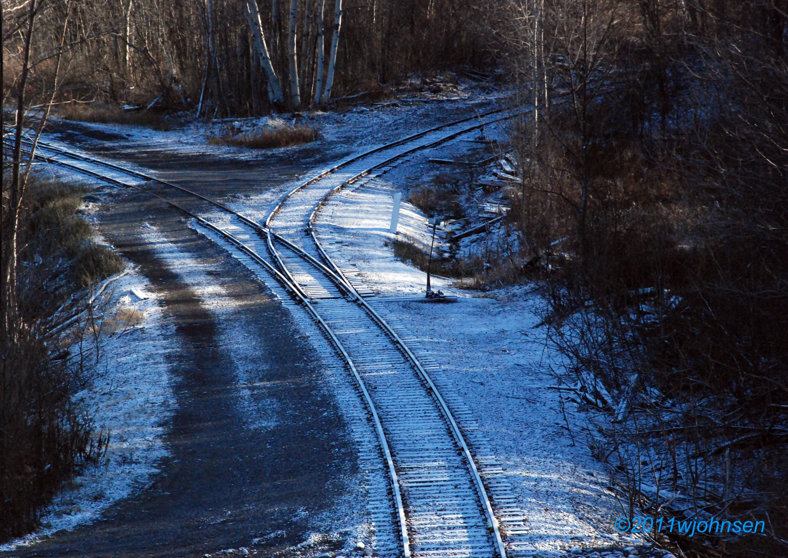
Cassville Wye
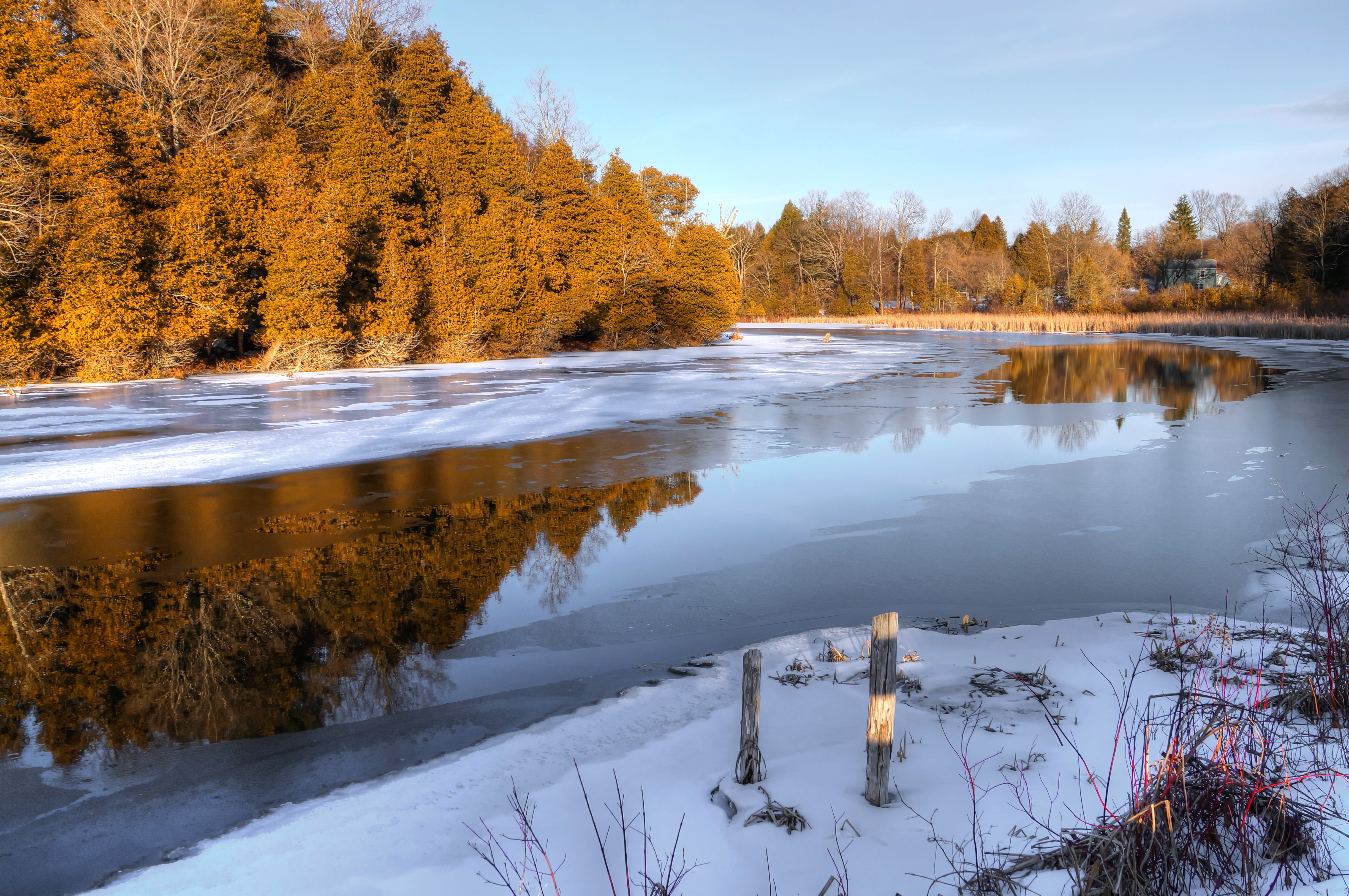
Chepatchet Pond
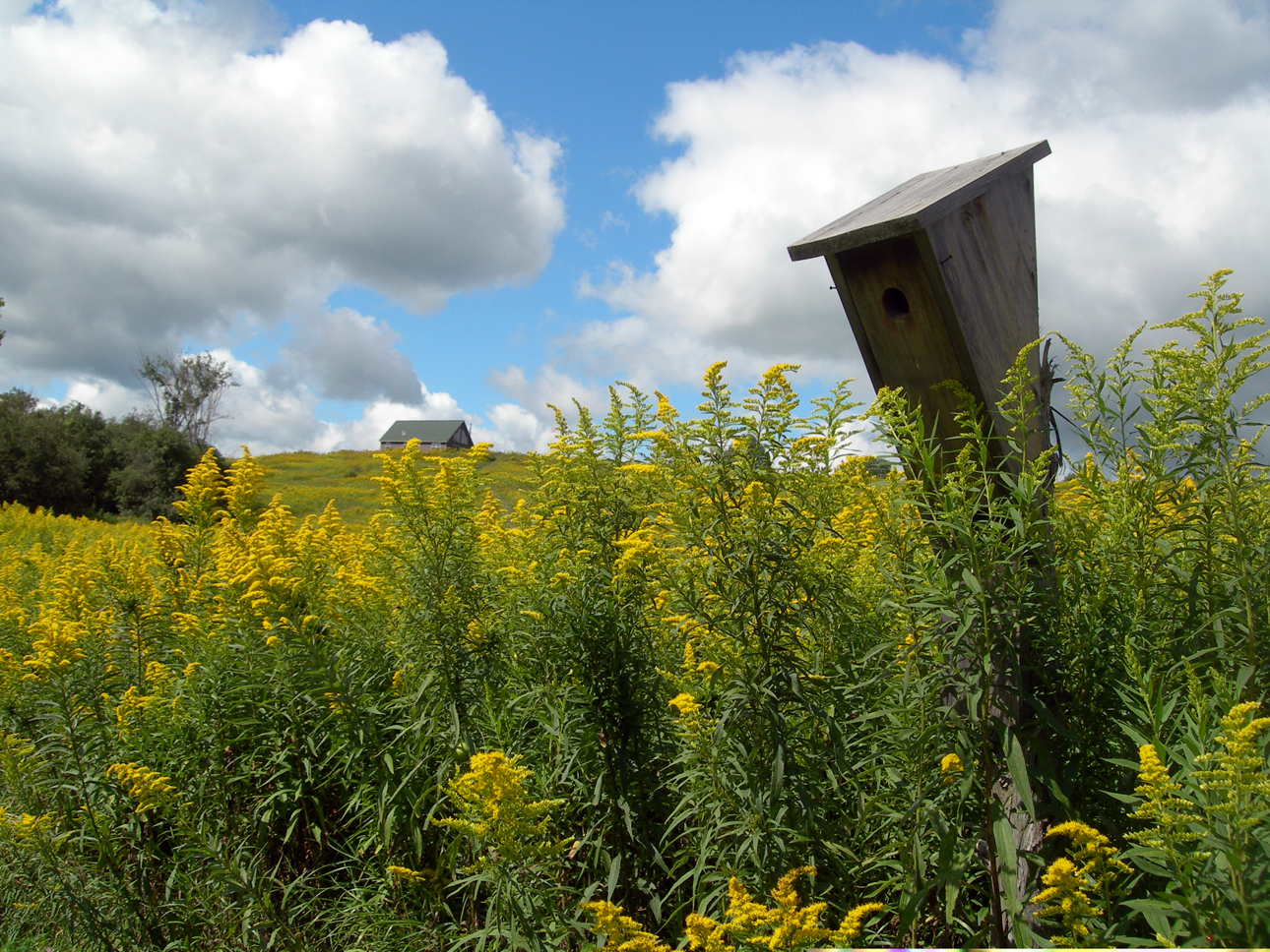
house.for the birds
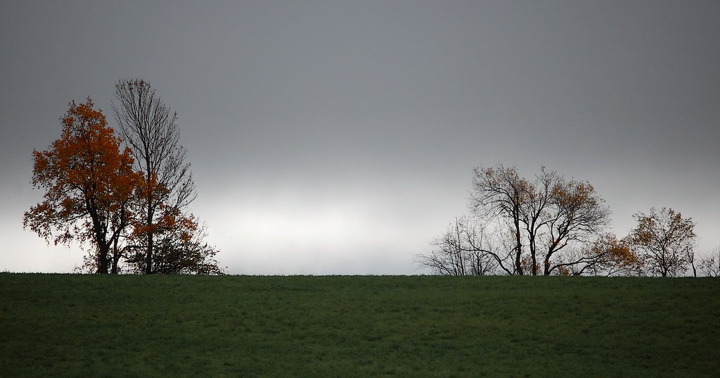
Field & Sky #1
Lallier-Walton Wedding-1

Greenwoods Conservancy

Greenwoods Conservancy
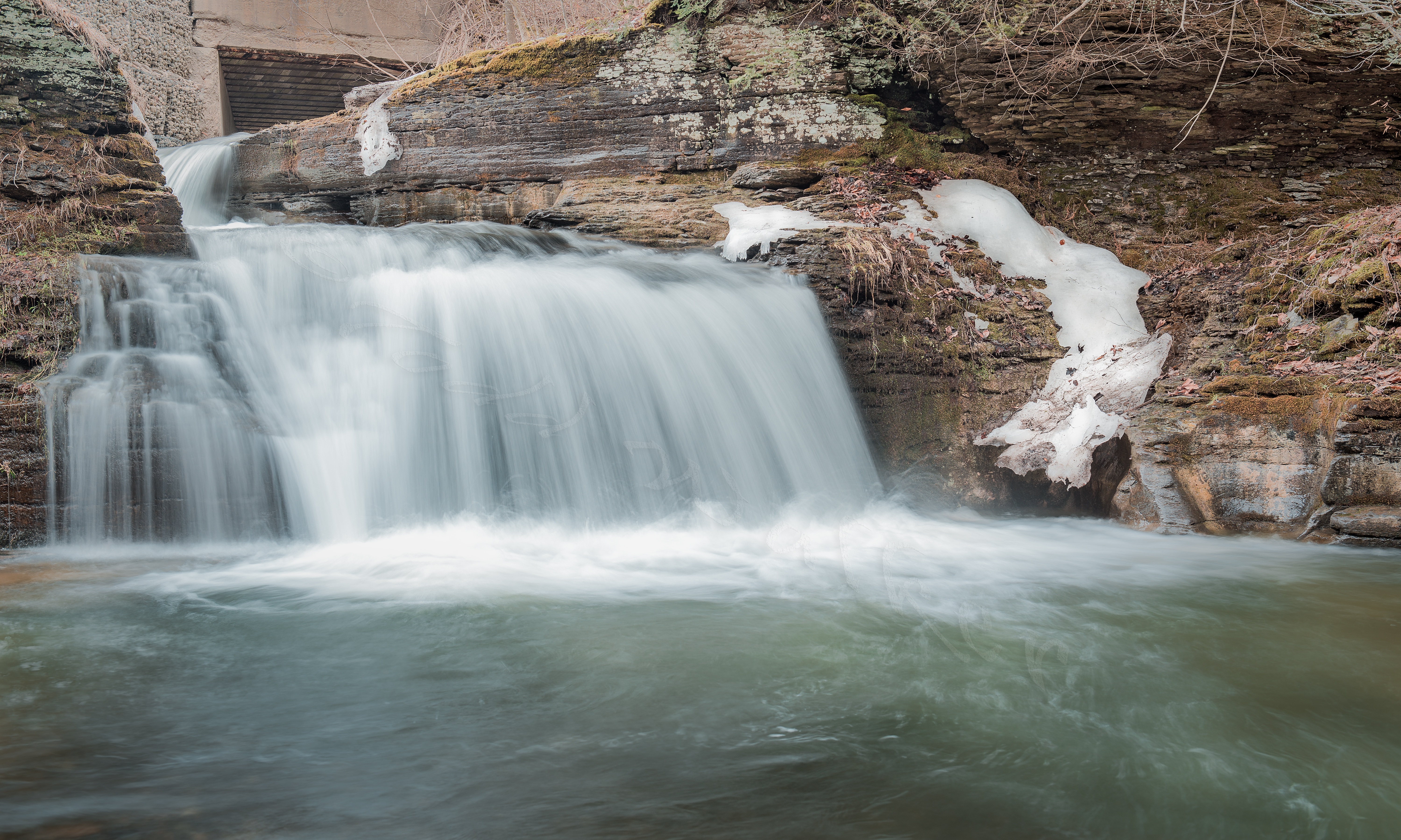
Button Falls
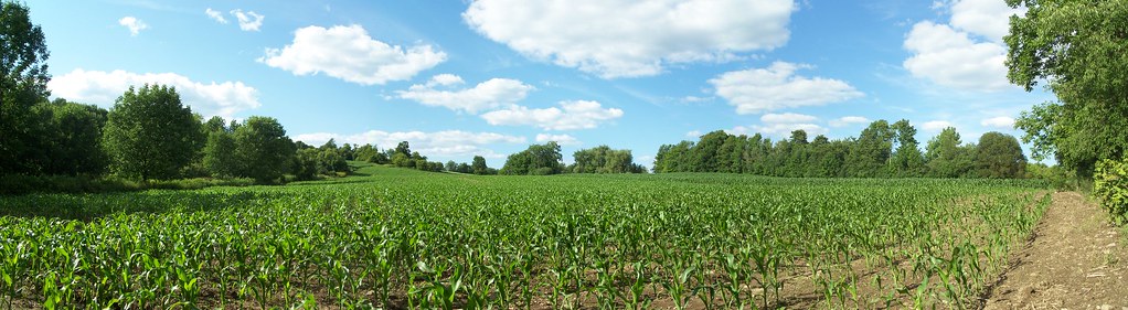
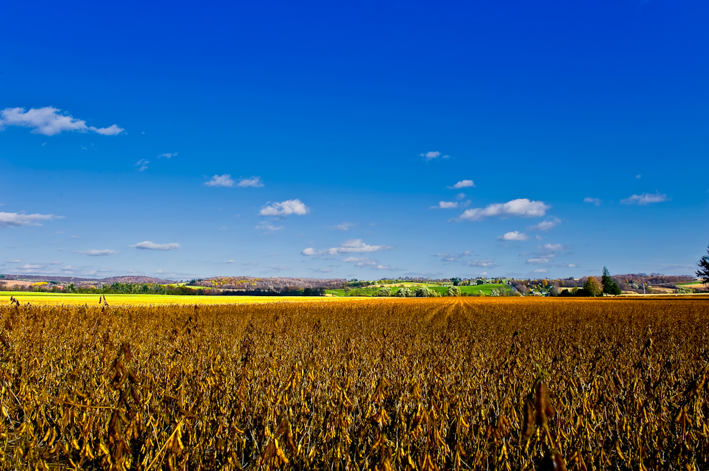
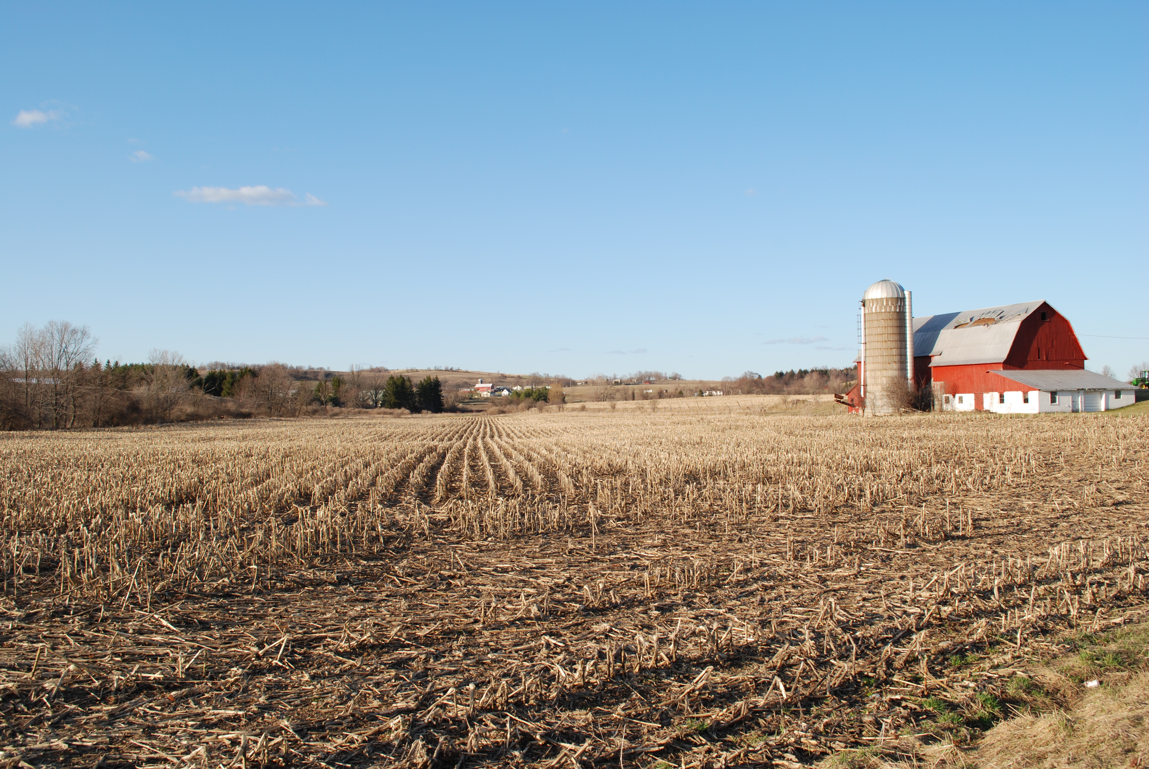
Central New York corn field
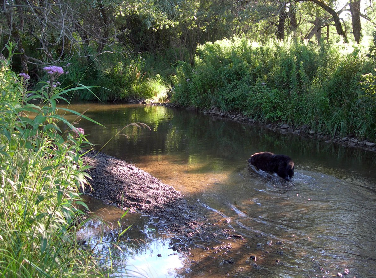
old dog.fountain of youth
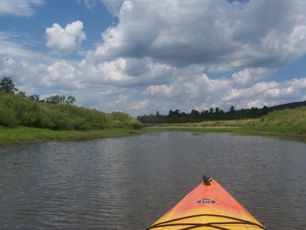
Heading Back

pink daisies
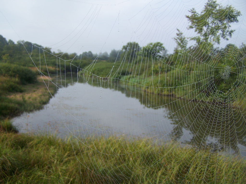
Spiderweb 1
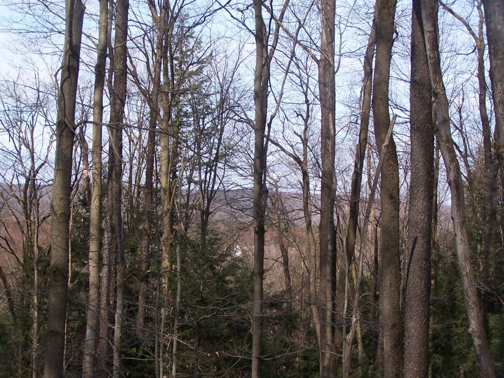
Peering Down Into Beaver Creek Valley
sun.on the water
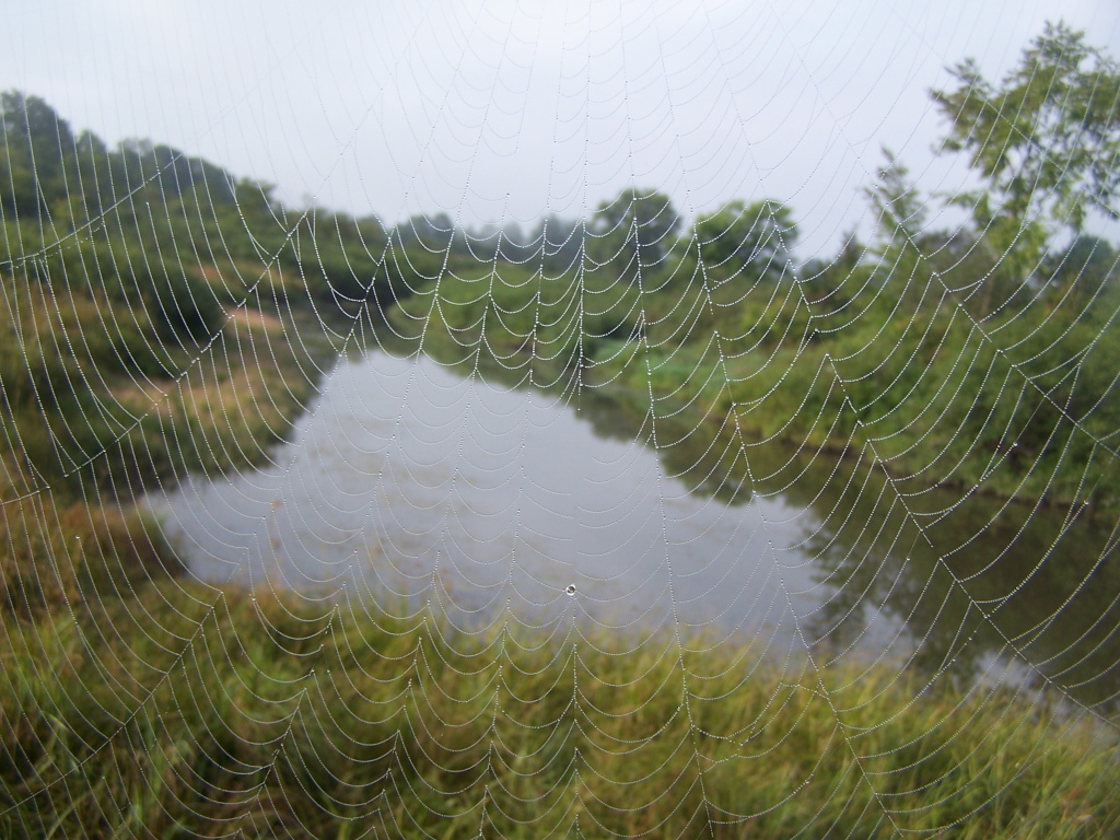
Spiderweb 2
Route 20
Topographic Map of Plainfield, NY, USA
Find elevation by address:

Places in Plainfield, NY, USA:
Places near Plainfield, NY, USA:
711 Talbot Rd
Frost Hill Rd, West Winfield, NY, USA
Forks Rd, West Winfield, NY, USA
221 Burrows Rd
145 South St
190 South St
NY-51, West Winfield, NY, USA
West Winfield
E Main St, West Winfield, NY, USA
517 Fairground Rd
116 Stone Rd
Burlington Flats
Burlington Flats Fish And Game Club
1645 Us-20
122 Allen Rd
406 Bolton Rd
Richfield
Exeter
Burlington
Burlington
Recent Searches:
- Elevation of Corso Fratelli Cairoli, 35, Macerata MC, Italy
- Elevation of Tallevast Rd, Sarasota, FL, USA
- Elevation of 4th St E, Sonoma, CA, USA
- Elevation of Black Hollow Rd, Pennsdale, PA, USA
- Elevation of Oakland Ave, Williamsport, PA, USA
- Elevation of Pedrógão Grande, Portugal
- Elevation of Klee Dr, Martinsburg, WV, USA
- Elevation of Via Roma, Pieranica CR, Italy
- Elevation of Tavkvetili Mountain, Georgia
- Elevation of Hartfords Bluff Cir, Mt Pleasant, SC, USA