Elevation of Plain City, OH, USA
Location: United States > Ohio > Madison County >
Longitude: -83.267416
Latitude: 40.1075615
Elevation: 285m / 935feet
Barometric Pressure: 98KPa
Elevation Map:
Satellite Map:
Related Photos:

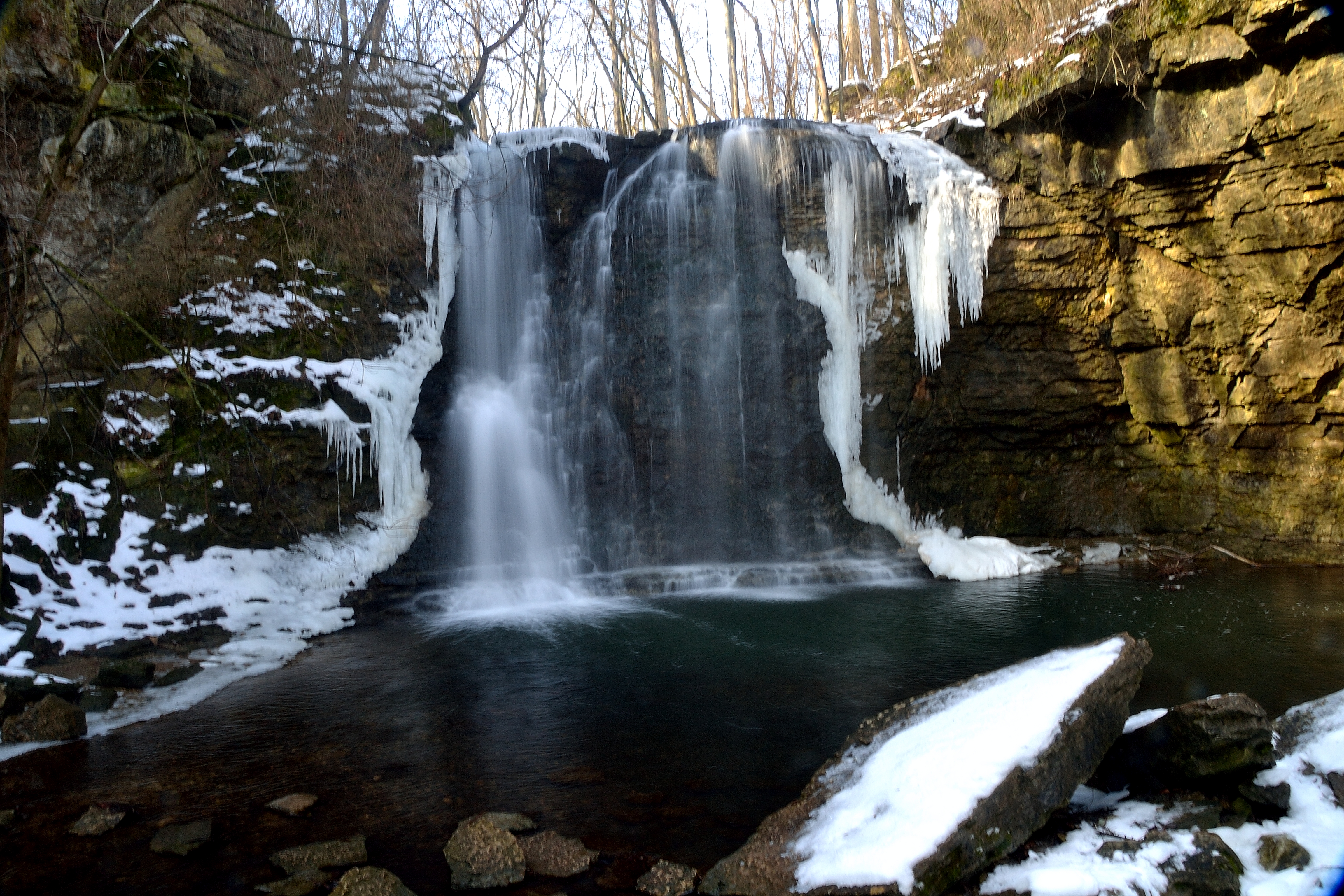
Hayden Falls2

J.M. Andrews House - Unionville Center, OH
View of Scioto River Valley - Dublin, OH
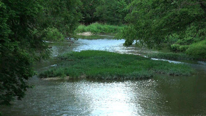
River view
river view goop

Indian Run

Indian Run
Indian Run Falls
Big Darby Creek@Prairie Oaks Metro Park Footbridge. Photo by Wendy C. Gleich, Digital Journalist; Hilliard, OH

Little Squares
Boardwalk view
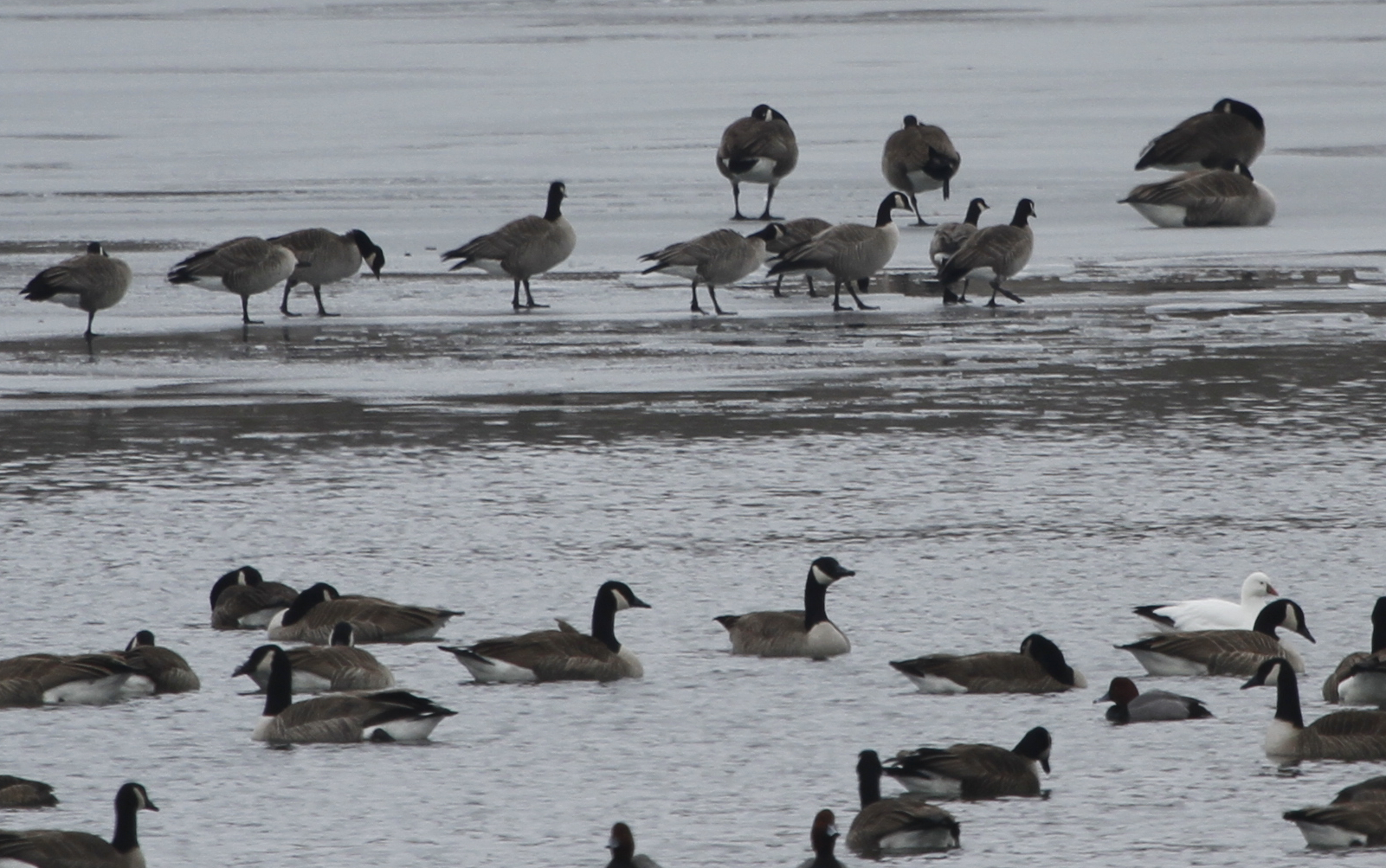
1 Ross's Goose, 9 of 12+ "Richardson's" Cackling Geese, and Canada Geese
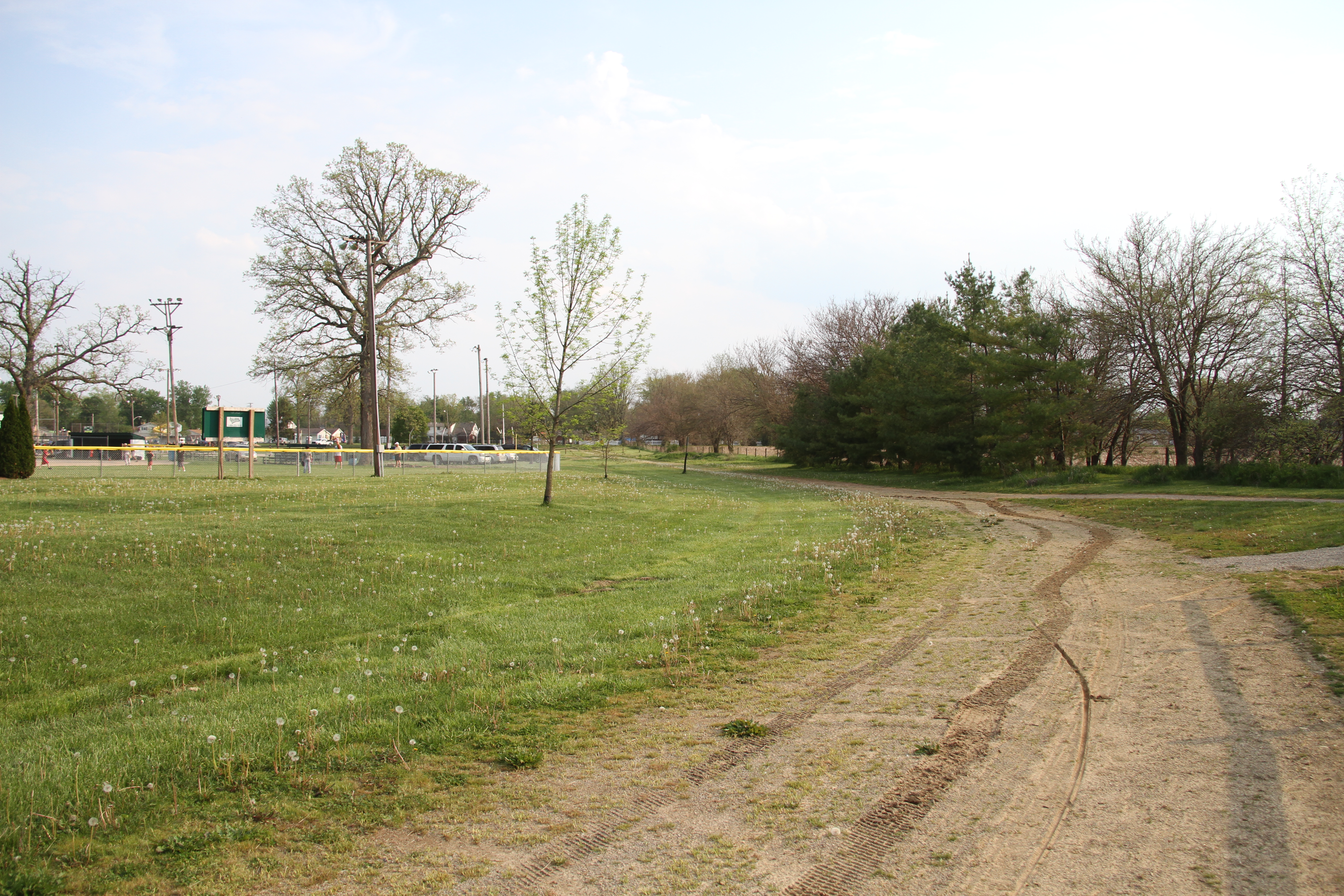
Plain City

Day 190 - Unnaturally Green

Looking Down

Hayden Falls
Topographic Map of Plain City, OH, USA
Find elevation by address:

Places in Plain City, OH, USA:
Places near Plain City, OH, USA:
8435 Country View Dr
Jerome Township
M H Corbin Llc
Schottenstein Cottages Ballantrae
Millcreek Township
9429 Nicholson Way
Tartan Fields Drive
6791 Fallen Timbers Dr
Indian Run Meadows
9961 Sylvian Dr
7031 Hill Rd
15065 Bellepoint Rd
15065 Bellepoint Rd
8526 Pitlochry Ct
Muirfield Village
Hemingway Village
6992 Fitzgerald Rd
Muirfield Village Golf Club
Sycamore Dr, Marysville, OH, USA
14449 Watkins Rd
Recent Searches:
- Elevation of Corso Fratelli Cairoli, 35, Macerata MC, Italy
- Elevation of Tallevast Rd, Sarasota, FL, USA
- Elevation of 4th St E, Sonoma, CA, USA
- Elevation of Black Hollow Rd, Pennsdale, PA, USA
- Elevation of Oakland Ave, Williamsport, PA, USA
- Elevation of Pedrógão Grande, Portugal
- Elevation of Klee Dr, Martinsburg, WV, USA
- Elevation of Via Roma, Pieranica CR, Italy
- Elevation of Tavkvetili Mountain, Georgia
- Elevation of Hartfords Bluff Cir, Mt Pleasant, SC, USA