Elevation of Placid Dr, Irvine, KY, USA
Location: United States > Kentucky > Estill County > Irvine >
Longitude: -84.068828
Latitude: 37.7112271
Elevation: 263m / 863feet
Barometric Pressure: 98KPa
Elevation Map:
Satellite Map:
Related Photos:
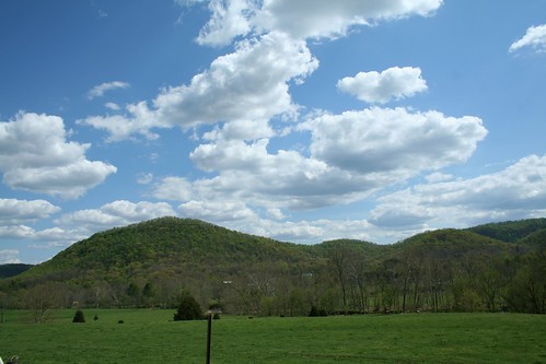
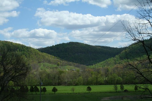
IMG_5444.JPG
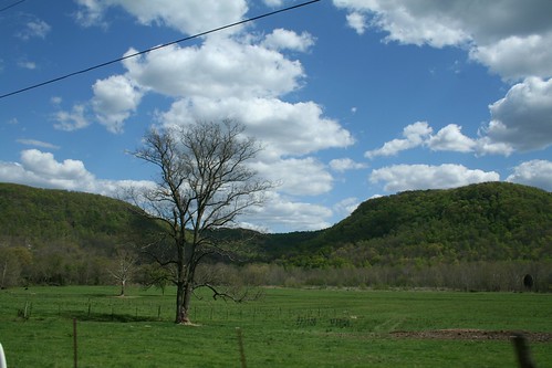
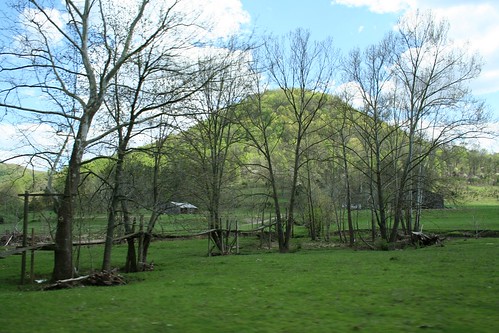
IMG_5447.JPG
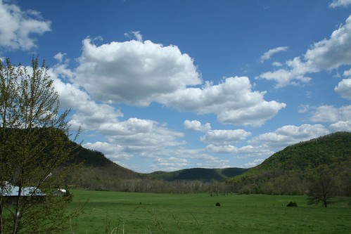
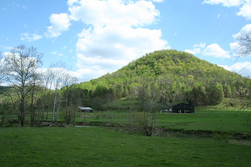
IMG_5445.JPG
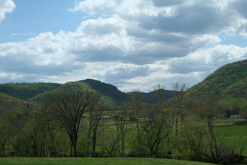
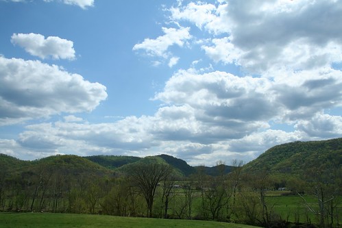
IMG_5442.JPG
IMG_5460.JPG
IMG_5455.JPG
IMG_5454.JPG
IMG_5440.JPG
Topographic Map of Placid Dr, Irvine, KY, USA
Find elevation by address:

Places near Placid Dr, Irvine, KY, USA:
1045 Winston Rd
1287 Blackburn Rd
Quail Run Estates
Wisemantown Road
1005 Round Mountain Rd
1000 Round Mountain Rd
Panola
Waco
Irvine Rd, Richmond, KY, USA
1005 Isaac Dr
1989 Speedwell Rd
1989 Speedwell Rd
Brassfield Rd, Richmond, KY, USA
Meadowbrook Rd, Richmond, KY, USA
Punkin Run Road
184 General Cleburne Dr
225 Park Lakes Dr
103 General Cleburne Dr
1105 Kim Kent Dr
725 Marietha Dr
Recent Searches:
- Elevation of Hickory Blvd, Bonita Springs, FL, USA
- Elevation of Lalagbene, Bayelsa, Nigeria
- Elevation of Ogbosuware Health Centre, 2WWJ+4PJ, Lalagbene, Bayelsa, Nigeria
- Elevation of Duckhorn Ct, Las Vegas, NV, USA
- Elevation of Garretts Run Rd, Ford City, PA, USA
- Elevation of N WI-55, Freedom, WI, USA
- Elevation map of Hadiya, Ethiopia
- Elevation of Hosaina, Ethiopia
- Elevation of Verde Terrace, North Port, FL, USA
- Elevation of US-, Leesburg, FL, USA