Elevation of Pitou Township, Changhua County, Taiwan
Location: Taiwan > Changhua County >
Longitude: 120.470325
Latitude: 23.8776623
Elevation: 26m / 85feet
Barometric Pressure: 101KPa
Elevation Map:
Satellite Map:
Related Photos:

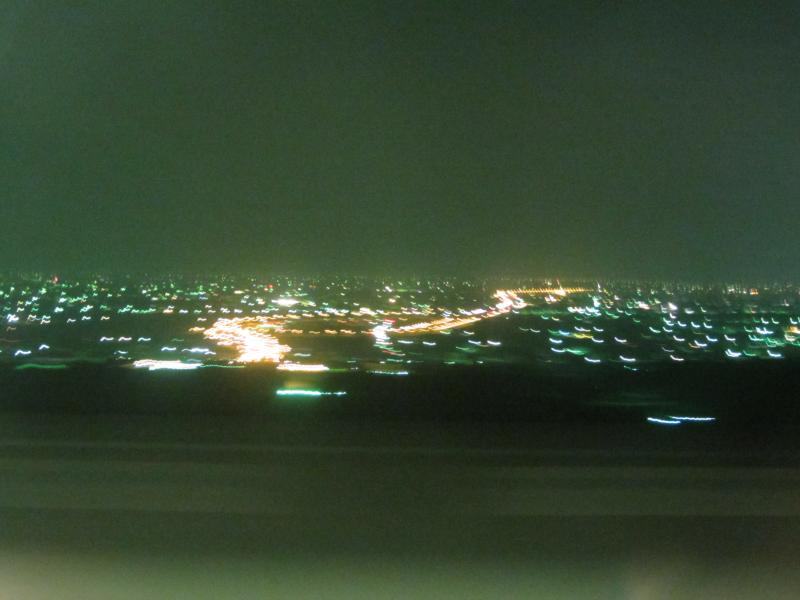
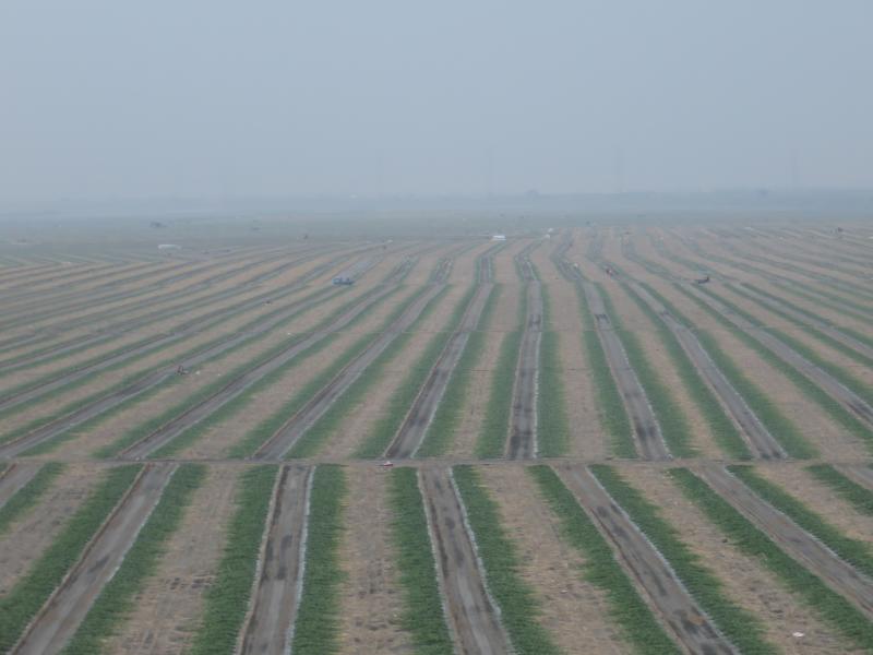
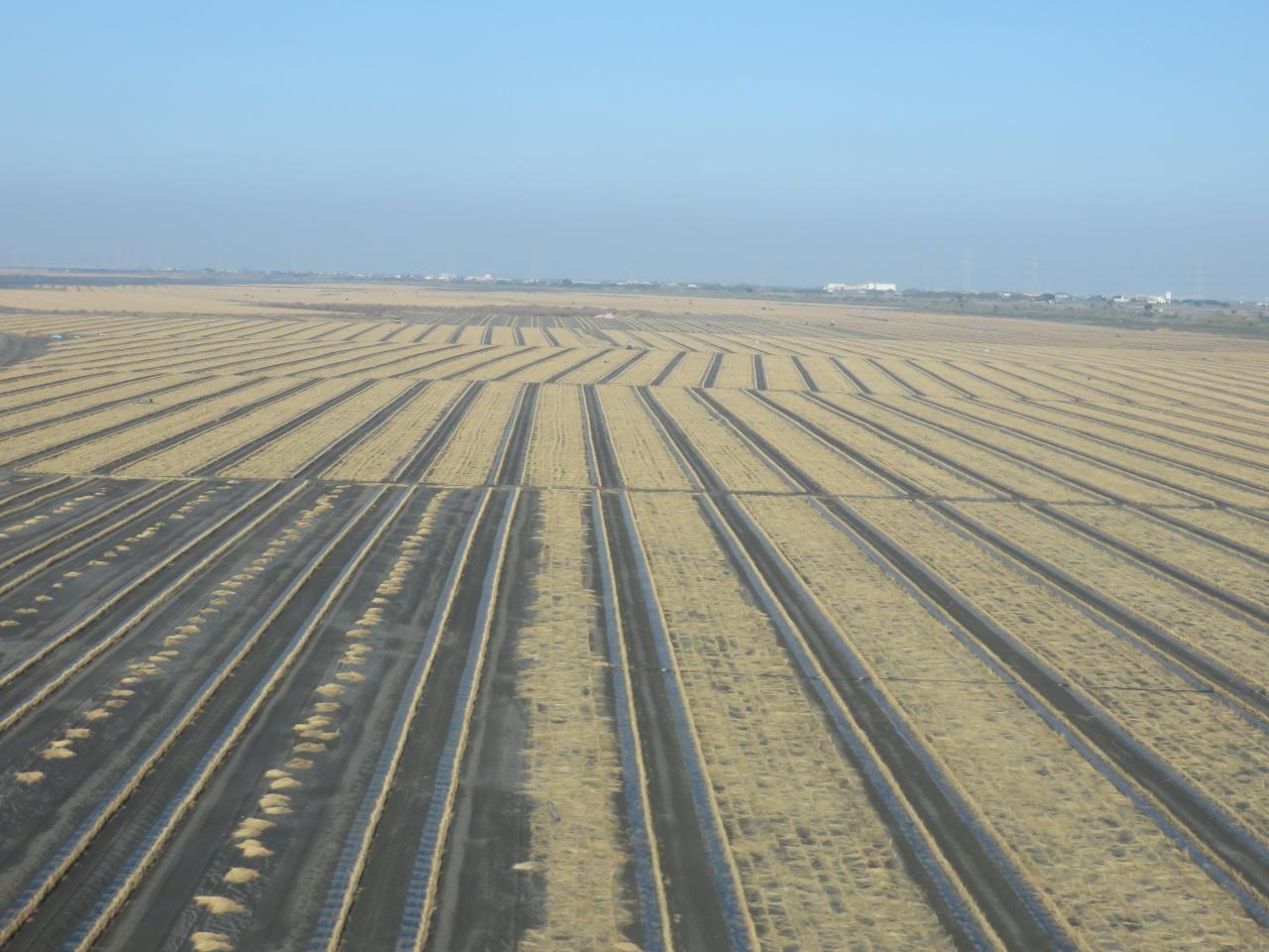
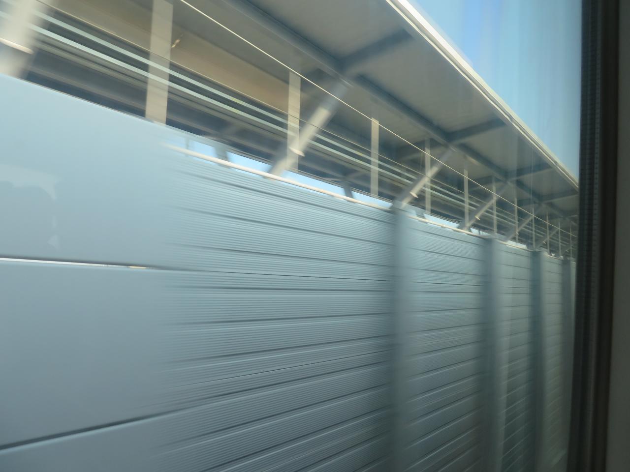
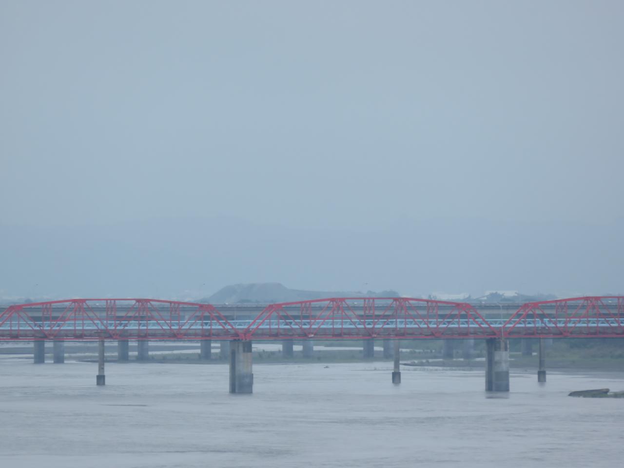
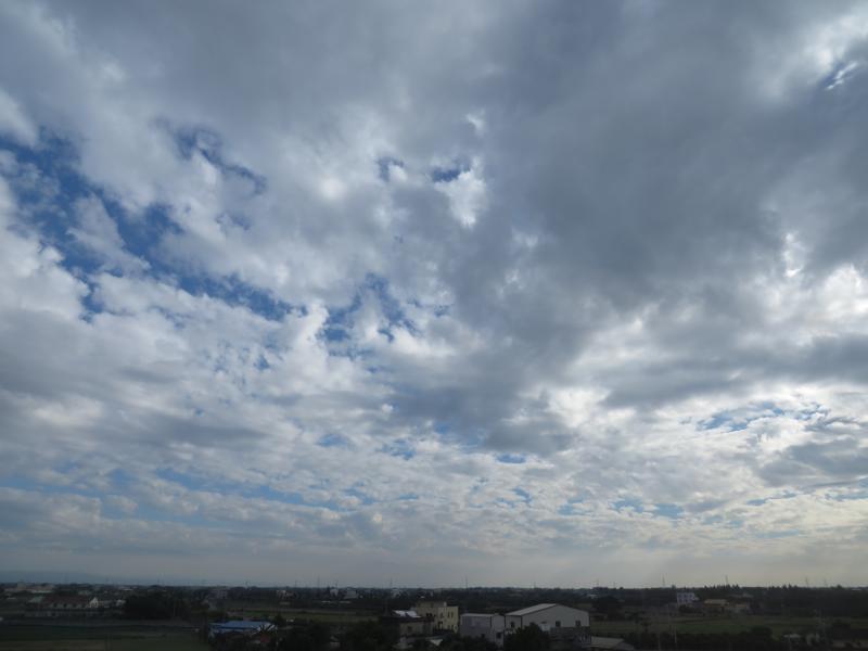
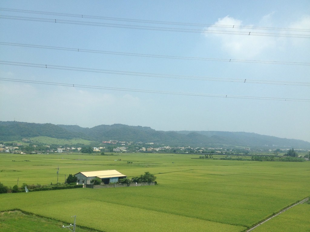
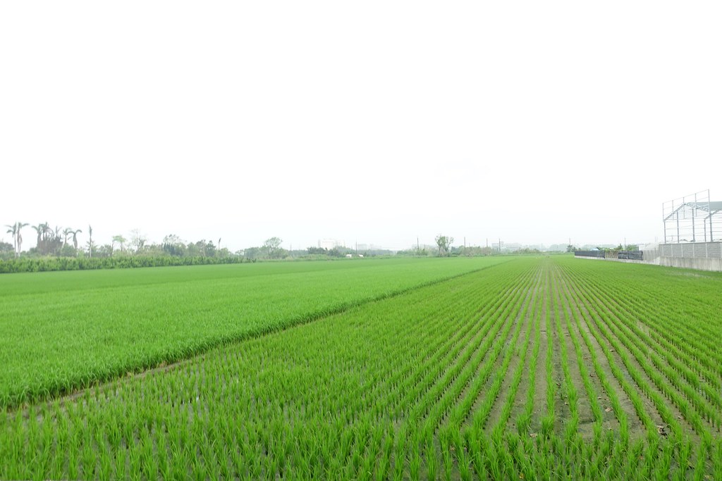
View From THSR Window

View From THSR Window

View From THSR Window

View From THSR Window

View From THSR Window
View From THSR Window
View From THSR Window

View From THSR Window
View From THSR Window

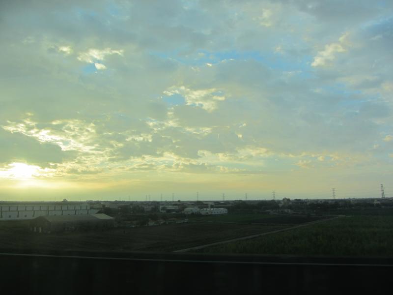
Sunset (View From THSR Window)

View From THSR Window
View From THSR Window
View From THSR Window
View From THSR Window

View From THSR Window

View From THSR Window

View From THSR Window

View From THSR Window

View From THSR Window
View From THSR Window
View From THSR Window
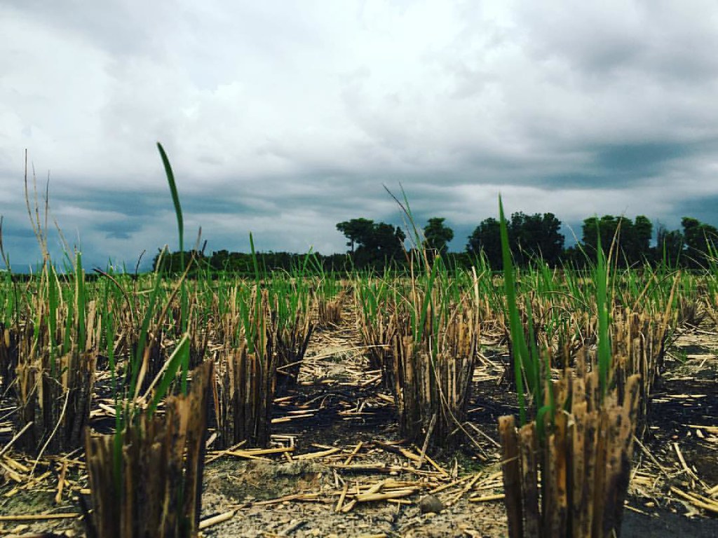
暴風雨前的寧靜~!

賞花4

老家附近‧夕陽

.

熟悉的景色????????

IMG_0198.JPG
員工旅遊ing
On My Way
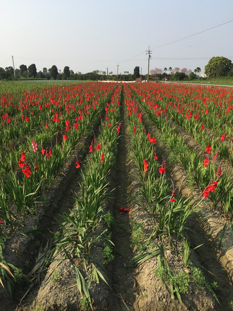
劍蘭

默默地在心中期待什麼?就算得到了又能如何?

After Sunset

新產品test

.

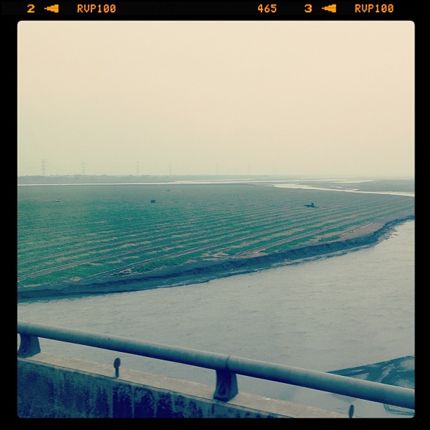
THSR Shuttle Bus (Yunlin)

油菜花
DSC03236.JPG

Camera Roll-1563
Topographic Map of Pitou Township, Changhua County, Taiwan
Find elevation by address:

Places in Pitou Township, Changhua County, Taiwan:
Places near Pitou Township, Changhua County, Taiwan:
埤頭村
合興村
No., Douyuan W Rd, Pitou Township, Changhua County, Taiwan
新庄村
No. 91, Dabu Rd, Pitou Township, Changhua County, Taiwan
No., Zhongnan Rd, Pitou Township, Changhua County, Taiwan
元埔村
No., Xinzhuang Rd, Pitou Township, Changhua County, Taiwan
大湖村
No., Dahu Rd, Pitou Township, Changhua County, Taiwan
永豊村
Taiwan, Changhua County, Erlin Township, 彰-1鄉道17號
No., Dongxi Rd, Pitou Township, Changhua County, Taiwan
東華里
尾厝村
中寮里
仁里村
No., Section 4, Xixia Rd, Xizhou Township, Changhua County, Taiwan
No., Sanhao Rd, Beidou Township, Changhua County, Taiwan
溪厝村
Recent Searches:
- Elevation of Tenjo, Cundinamarca, Colombia
- Elevation of Côte-des-Neiges, Montreal, QC H4A 3J6, Canada
- Elevation of Bobcat Dr, Helena, MT, USA
- Elevation of Zu den Ihlowbergen, Althüttendorf, Germany
- Elevation of Badaber, Peshawar, Khyber Pakhtunkhwa, Pakistan
- Elevation of SE Heron Loop, Lincoln City, OR, USA
- Elevation of Slanický ostrov, 01 Námestovo, Slovakia
- Elevation of Spaceport America, Co Rd A, Truth or Consequences, NM, USA
- Elevation of Warwick, RI, USA
- Elevation of Fern Rd, Whitmore, CA, USA