Elevation of Pitcairn Island, PCRN 1ZZ, Pitcairn Islands
Location: Pitcairn Islands >
Longitude: -130.10686
Latitude: -25.067915
Elevation: 195m / 640feet
Barometric Pressure: 99KPa
Elevation Map:
Satellite Map:
Related Photos:
Pitcairn harbor.jpg
880625 Quad bike tour of Pitcairn
215. Morning approach to Pitcairn Island
Pitcairn Island
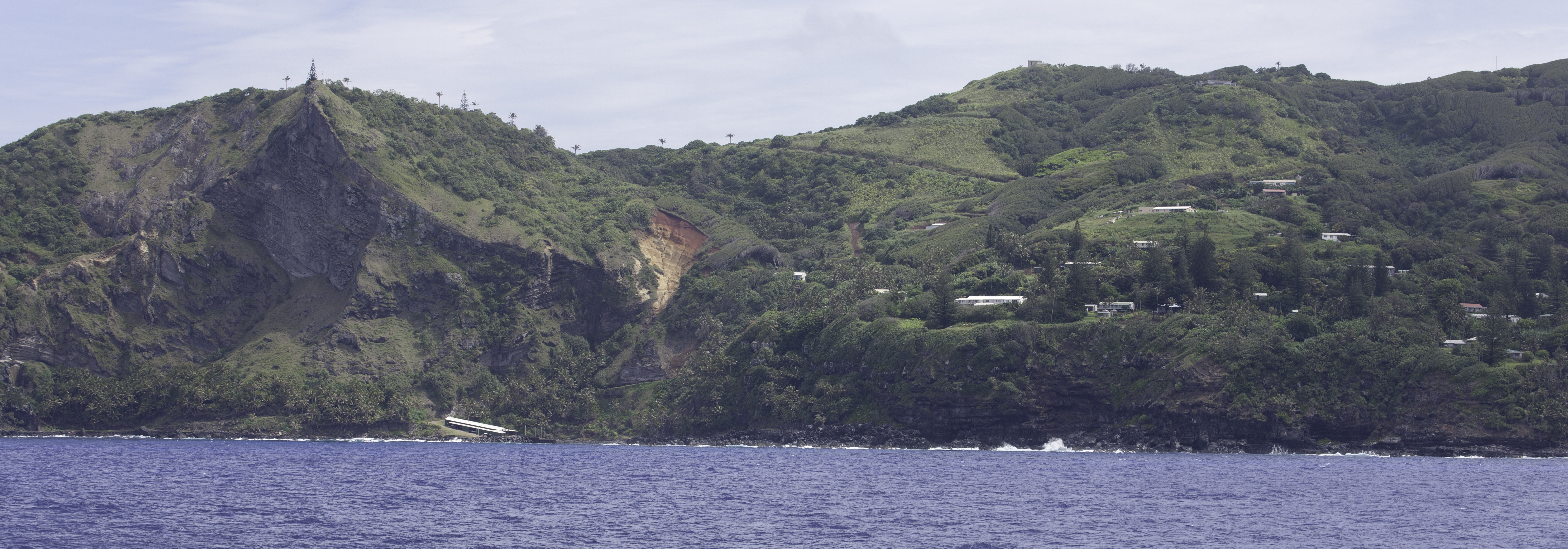
Pitcairn Island

Pitcairn Island

Pitcairn Island

Pitcairn Island
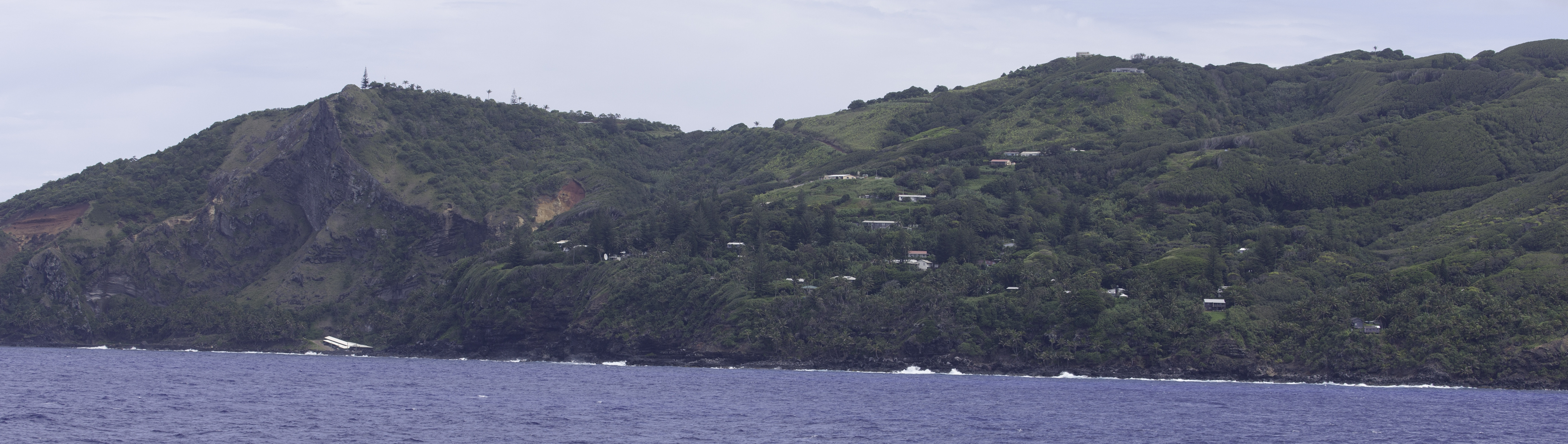
Pitcairn Island

Pitcairn Island

214. Morning approach to Pitcairn Island
Topographic Map of Pitcairn Island, PCRN 1ZZ, Pitcairn Islands
Find elevation by address:

Places near Pitcairn Island, PCRN 1ZZ, Pitcairn Islands:
Recent Searches:
- Elevation of Zimmer Trail, Pennsylvania, USA
- Elevation of 87 Kilmartin Ave, Bristol, CT, USA
- Elevation of Honghe National Nature Reserve, QP95+PJP, Tongjiang, Heilongjiang, Jiamusi, Heilongjiang, China
- Elevation of Hercules Dr, Colorado Springs, CO, USA
- Elevation of Szlak pieszy czarny, Poland
- Elevation of Griffing Blvd, Biscayne Park, FL, USA
- Elevation of Kreuzburger Weg 13, Düsseldorf, Germany
- Elevation of Gateway Blvd SE, Canton, OH, USA
- Elevation of East W.T. Harris Boulevard, E W.T. Harris Blvd, Charlotte, NC, USA
- Elevation of West Sugar Creek, Charlotte, NC, USA