Elevation of Pisgah Home Road, Pisgah Home Rd, Oregon, USA
Location: United States > Oregon > Columbia County > Scappoose >
Longitude: -122.99697
Latitude: 45.7885063
Elevation: 562m / 1844feet
Barometric Pressure: 95KPa
Elevation Map:
Satellite Map:
Related Photos:

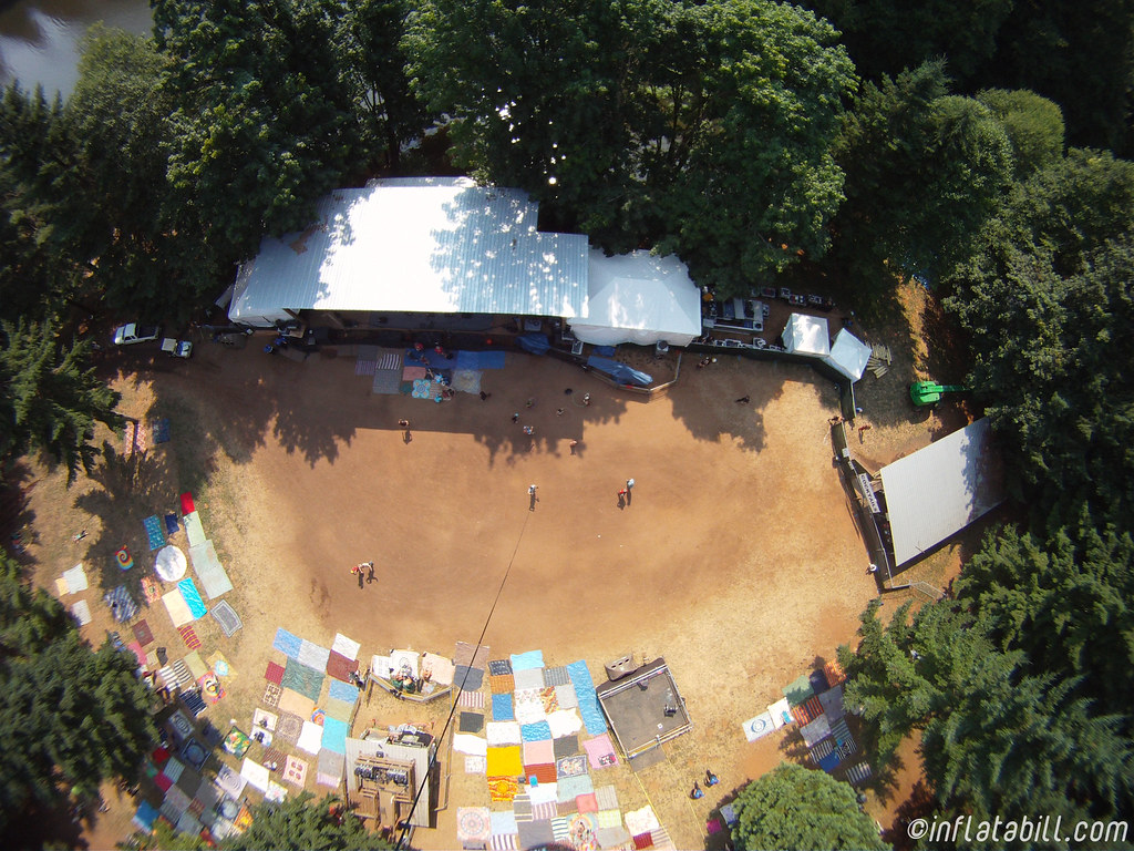
Fire in the Mill
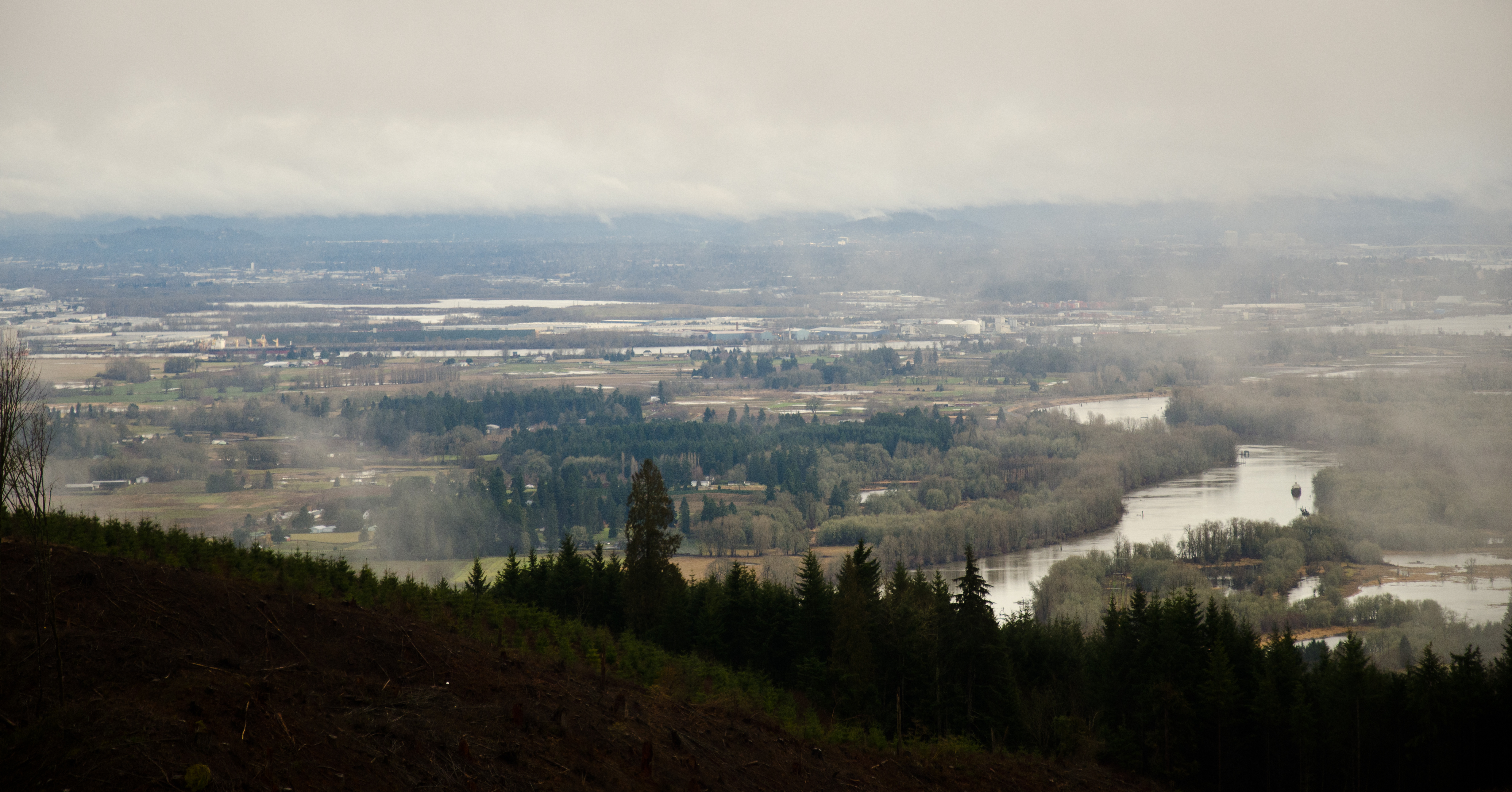
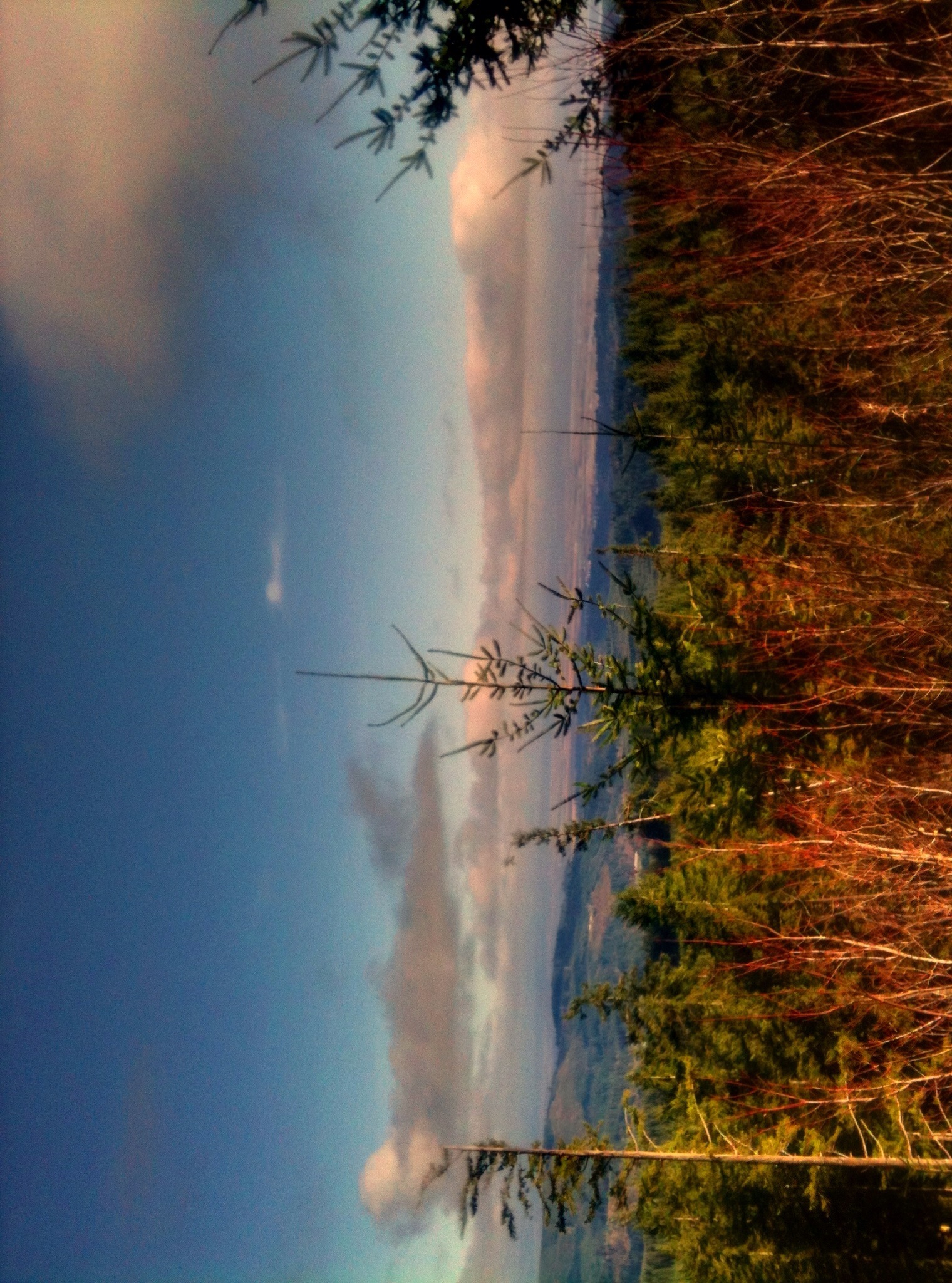
Valley View
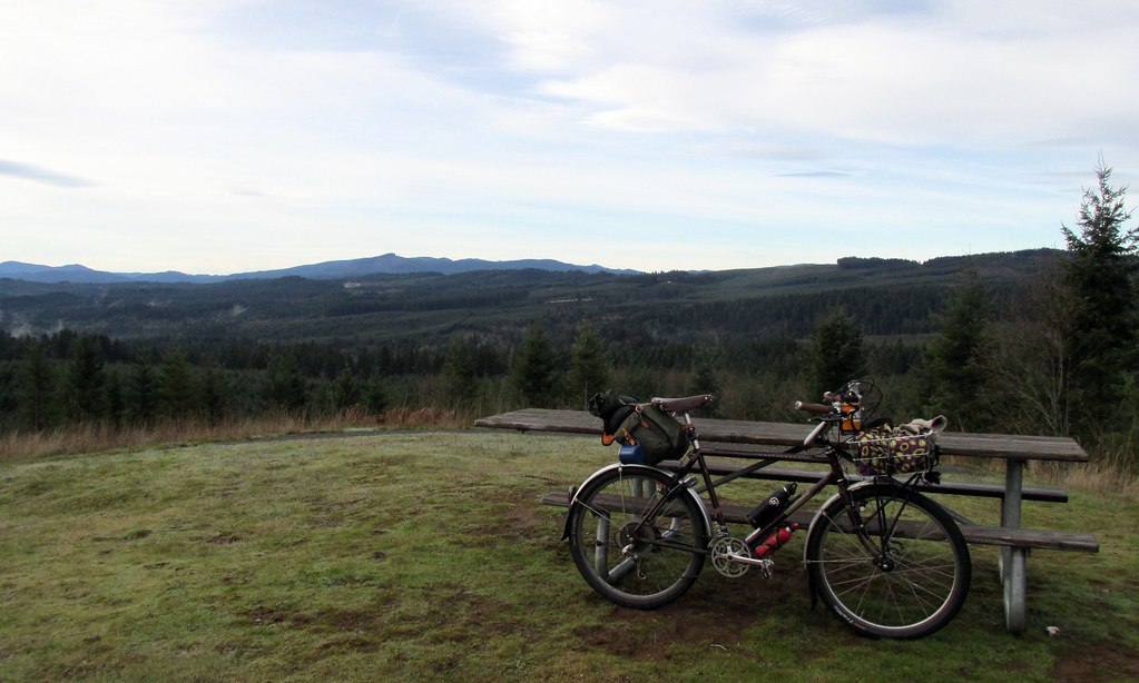
The view from Hilltop Day Use Area.
the view
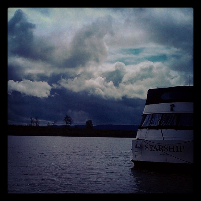
View from Mark's on the channel. Great food, nice people & terrific view ! #oregon #willamette #water #river #foodforfoodies #foodgasm #foodpic #foodporn #boat
Vernonia Lake

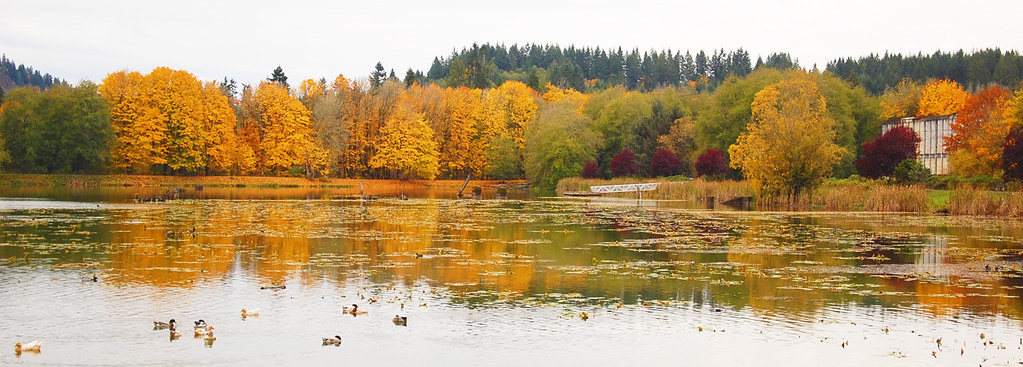
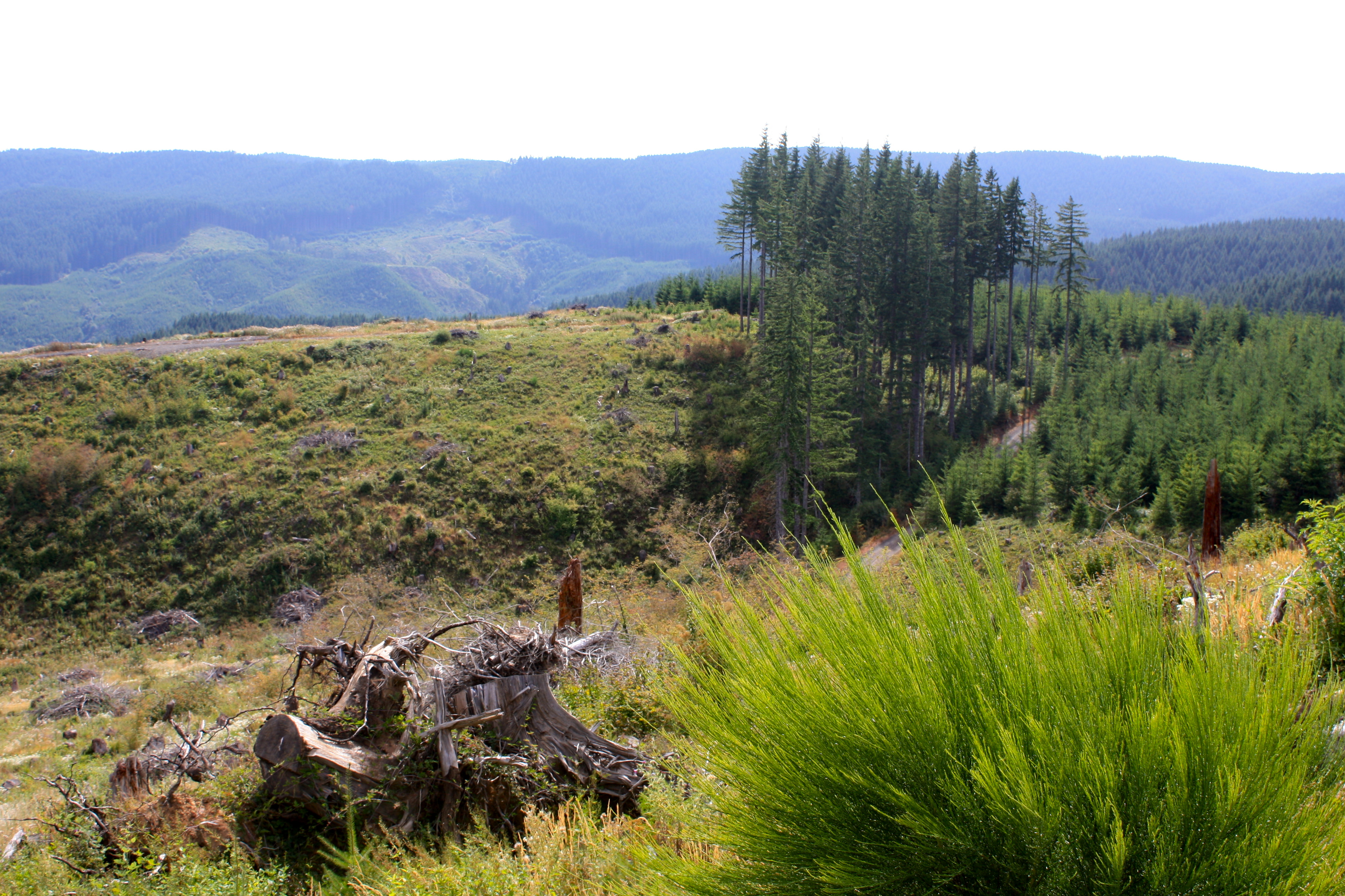
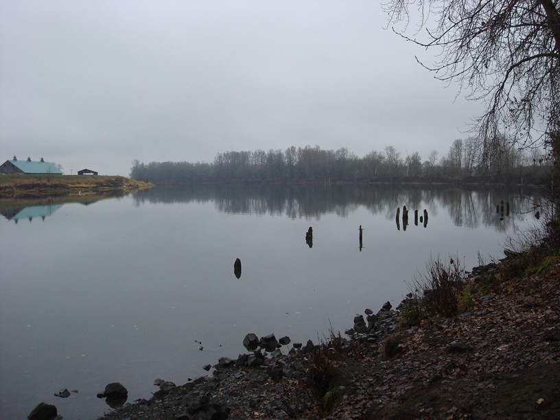
Scappoose Bay Treelines
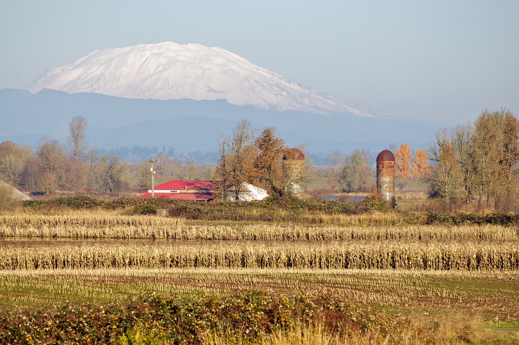
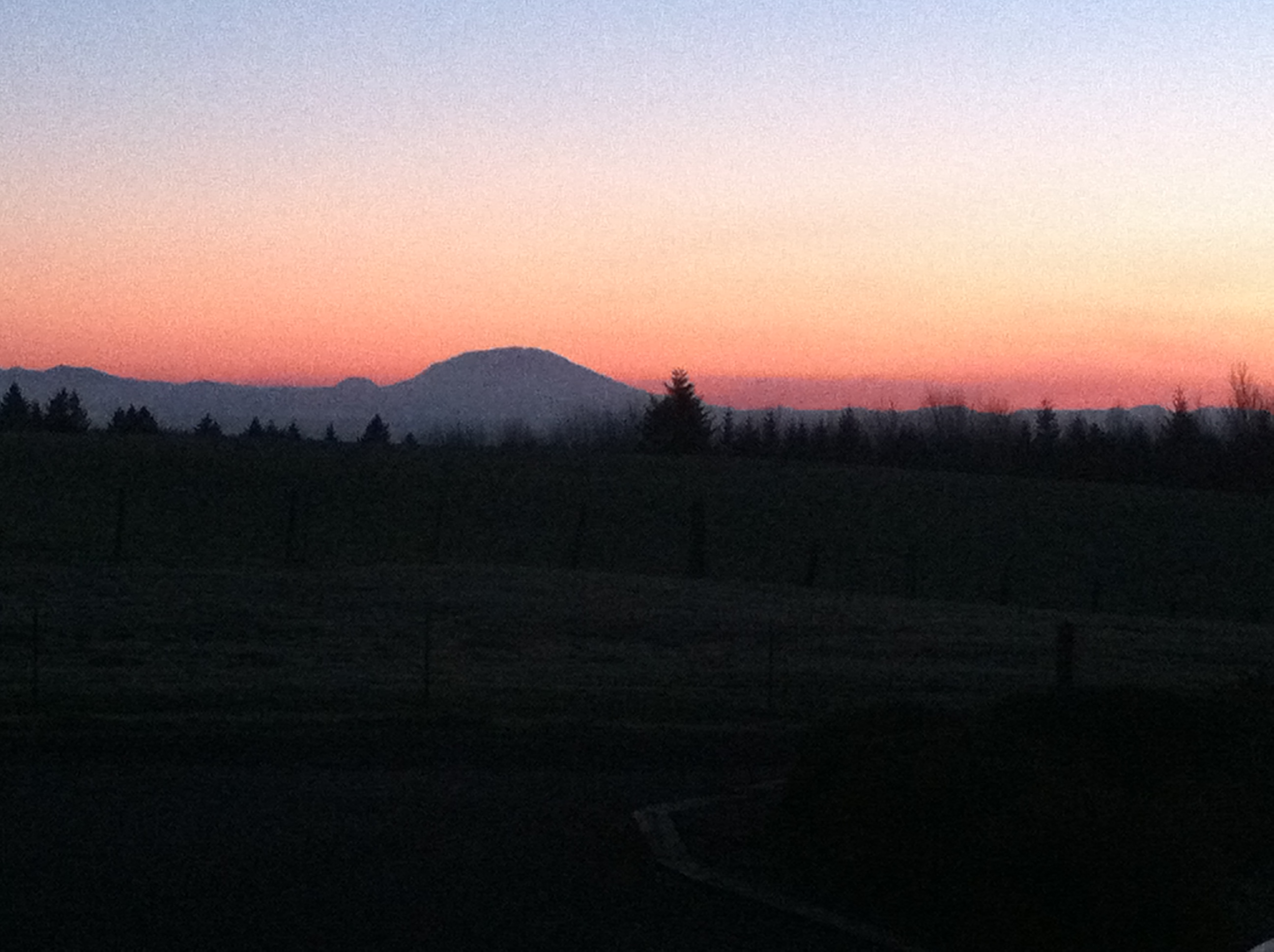
338/365 Mt. St. Helens
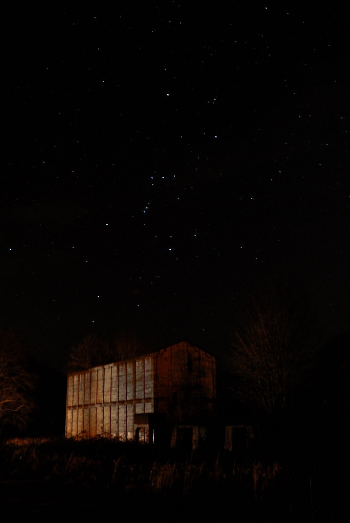
Orion over Ruins
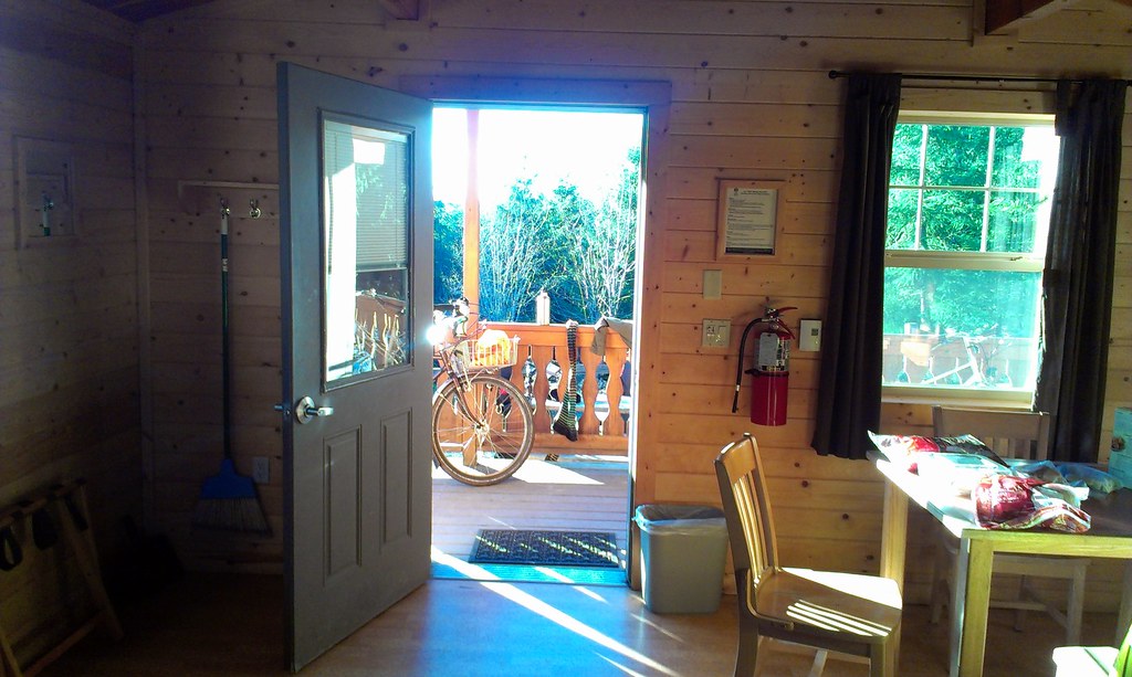
The Crested Butte awaits outside the cabin.
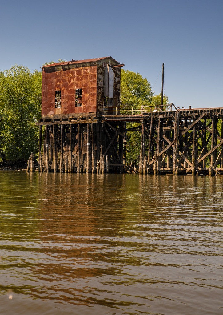
Their Purpose Forgotten
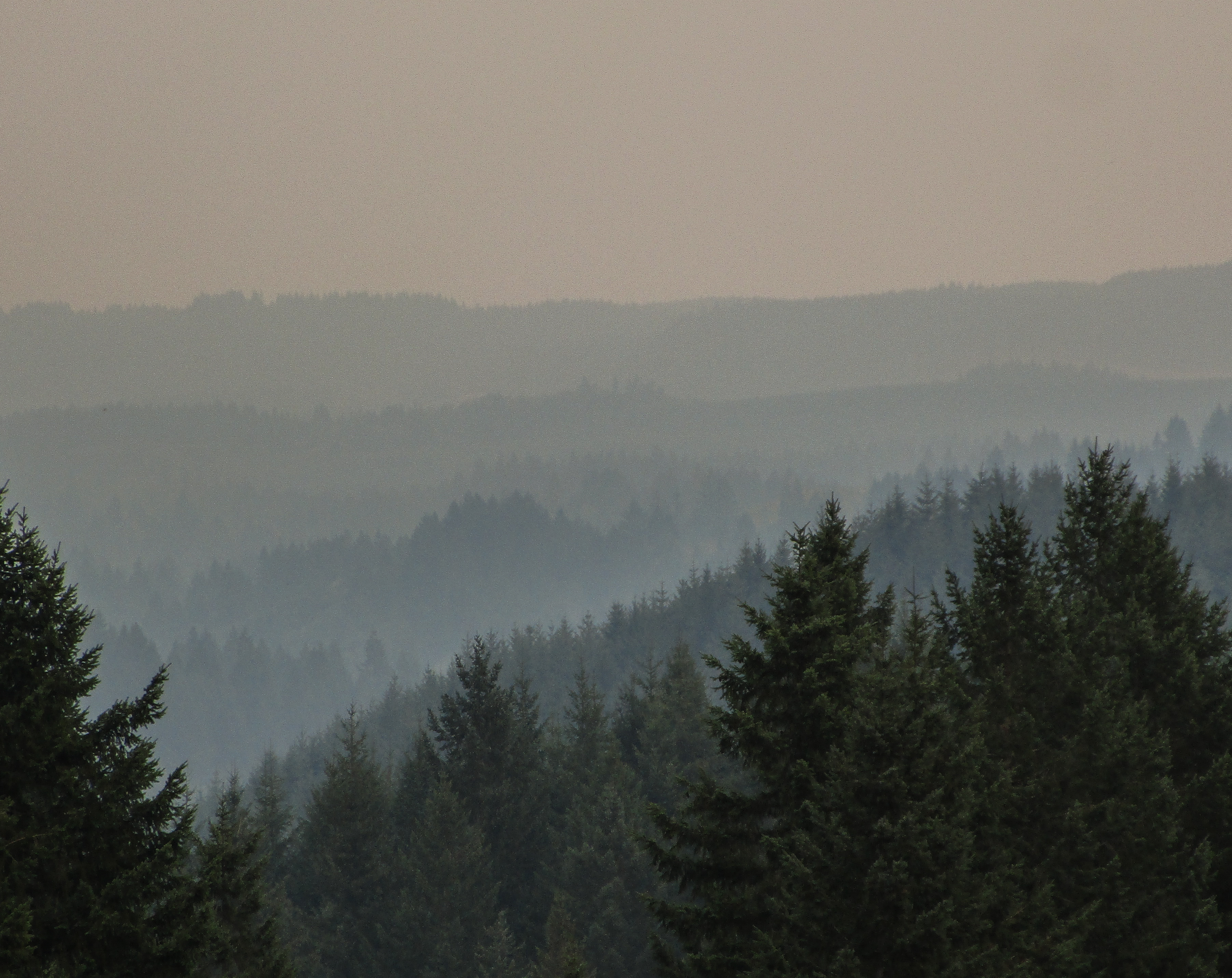
another amazing view
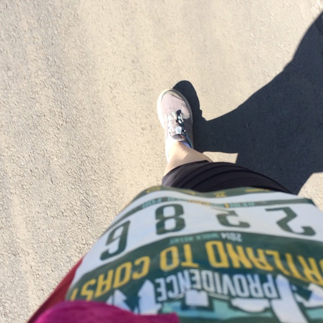
My view. It feels about 90F on the asphalt! @htcrelay
View from Otto Miller
Foggy View on Sauvie Island Ride

Gray Strapless Smocked Bodice Capri Jumpsuit Back View

Parti-Colored Wasn't Good Enough...
UFO's Eye View
mountain view

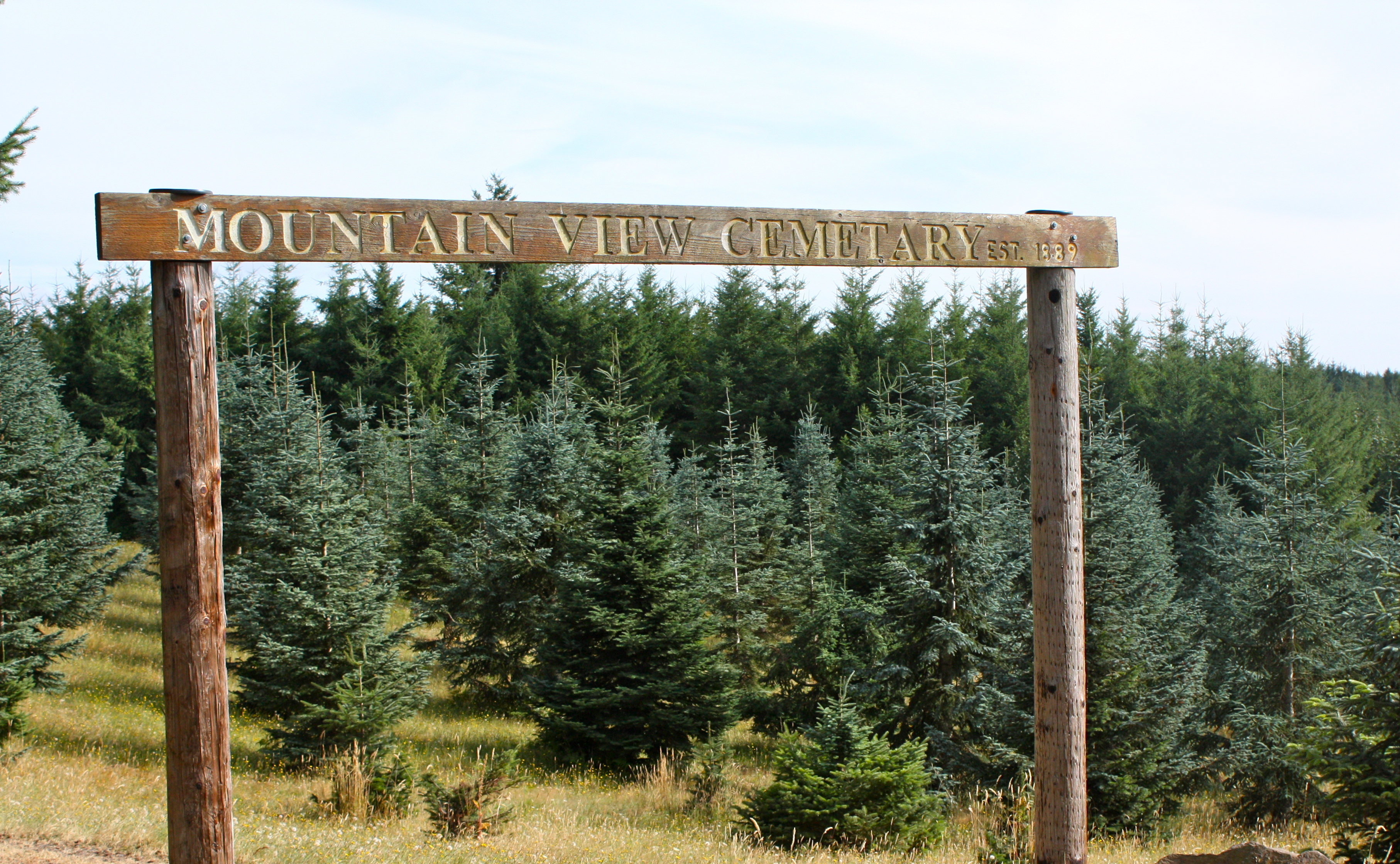
mountain view cemetery - dixie mountain, or
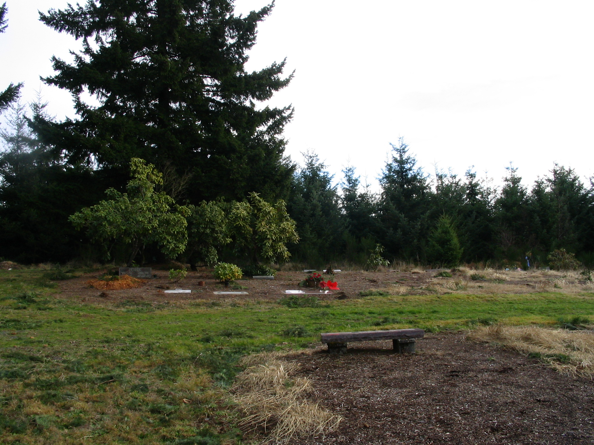
mountain view cemetery - dixie mountain, or

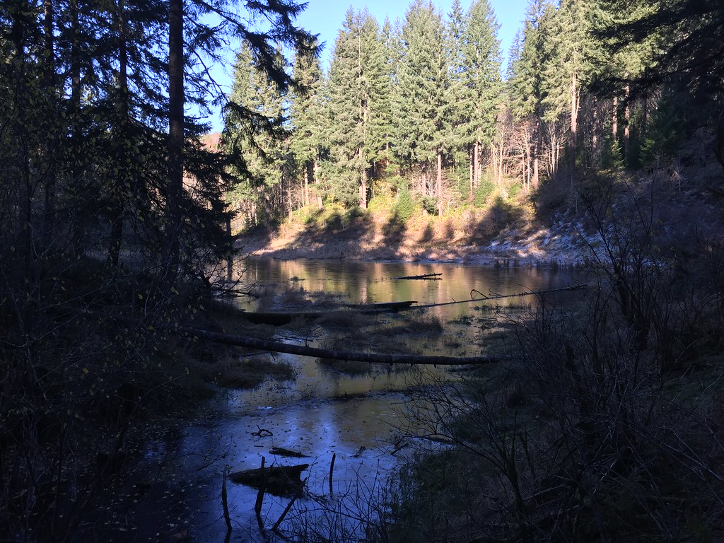
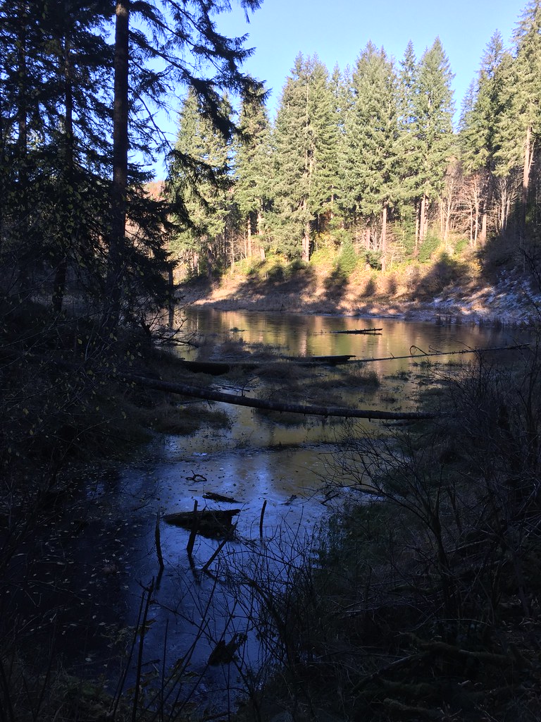
Coon creek

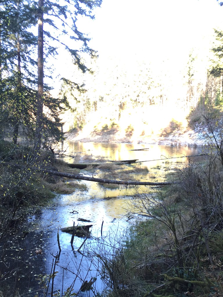
Coon creek

#3
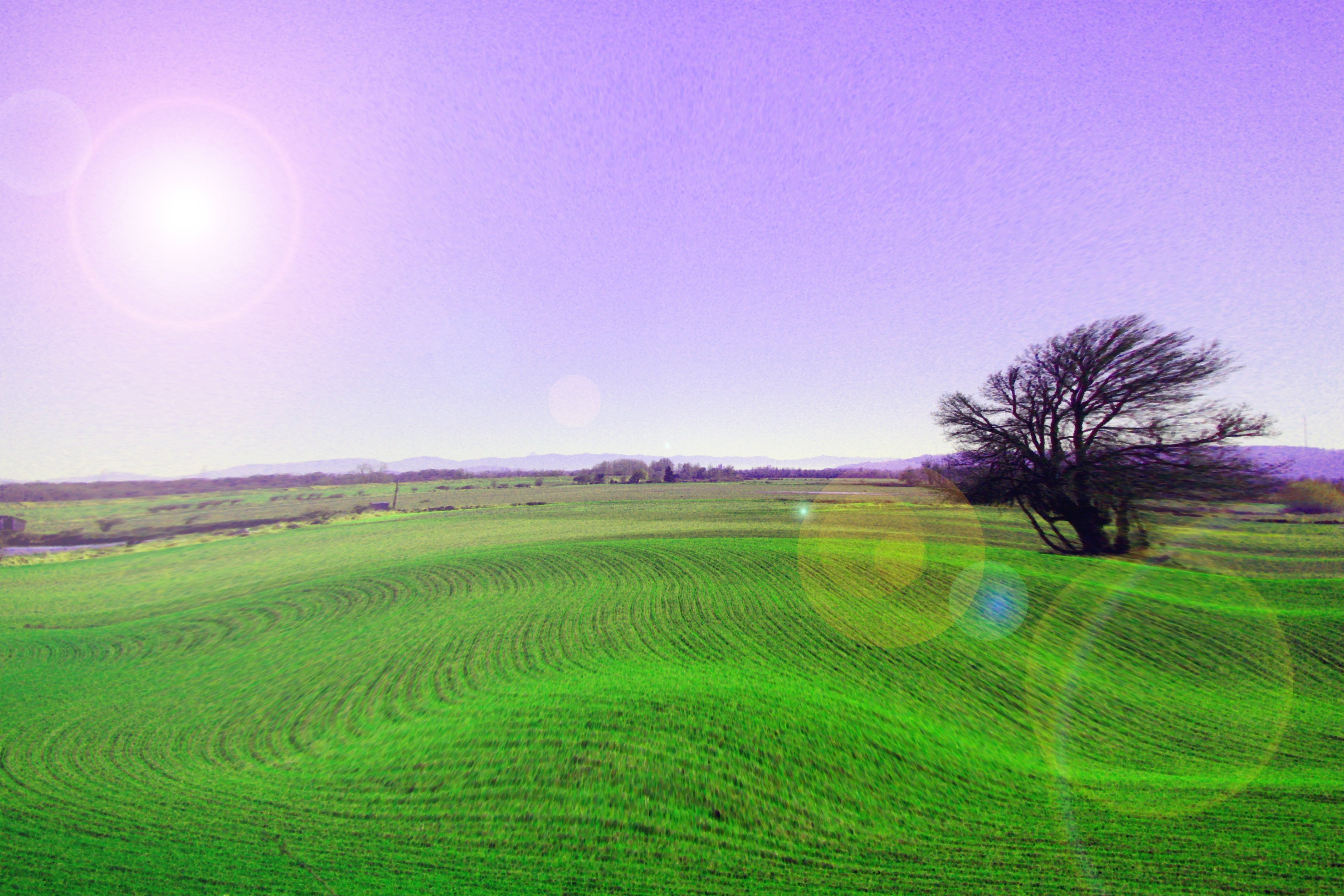
Agri-Swirl
Don't let it get you down
Sauvie-10
Sauvie-32

Camera Roll-1402
Altered Horizons 03
Sauvie Island-34
Stub Stewart State Park
Stub Stewart State Park
Natural Framing 01
IMG_0086.JPG
Stub Stewart State Park
Stub Stewart State Park

Stub Stewart State Park
Stub Stewart State Park
Topographic Map of Pisgah Home Road, Pisgah Home Rd, Oregon, USA
Find elevation by address:

Places near Pisgah Home Road, Pisgah Home Rd, Oregon, USA:
27656 Gibbs Rd
56691 Melonie Ln
Chapman Rd, Scappoose, OR, USA
57497 Alder Creek Rd
30771 Pisgah Home Rd
Holaday Road
30987 Pond Dr
56460 Walker Rd
Wild Woodland Drive
Dowd Road
32690 Woods Dr
Blackberry Hollow Drive
55853 Hazen Rd
33212 Sw Havlik Dr
Scappoose
33544 Se Steinfeld St
52702 Ne Porter Ln
33810 Se Rose Ln
50576 Chestnut Ave
Pittsburg Rd, St Helens, OR, USA
Recent Searches:
- Elevation of Homestead Ridge, New Braunfels, TX, USA
- Elevation of Orchard Road, Orchard Rd, Marlborough, NY, USA
- Elevation of 12 Hutchinson Woods Dr, Fletcher, NC, USA
- Elevation of Holloway Ave, San Francisco, CA, USA
- Elevation of Norfolk, NY, USA
- Elevation of - San Marcos Pass Rd, Santa Barbara, CA, USA
- Elevation of th Pl SE, Issaquah, WA, USA
- Elevation of 82- D Rd, Captain Cook, HI, USA
- Elevation of Harlow CM20 2PR, UK
- Elevation of Shenyang Agricultural University, Dong Ling Lu, Shen He Qu, Shen Yang Shi, Liao Ning Sheng, China