Elevation of Pirupvejen, Blokhus, Denmark
Location: Denmark > Jammerbugt Municipality > Blokhus >
Longitude: 9.6384586
Latitude: 57.2606638
Elevation: 20m / 66feet
Barometric Pressure: 101KPa
Elevation Map:
Satellite Map:
Related Photos:
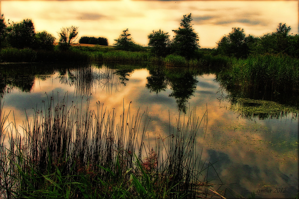
Elfin land.
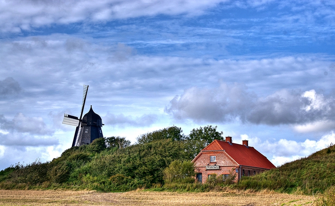
Børglum Klosters Mølle og smedie
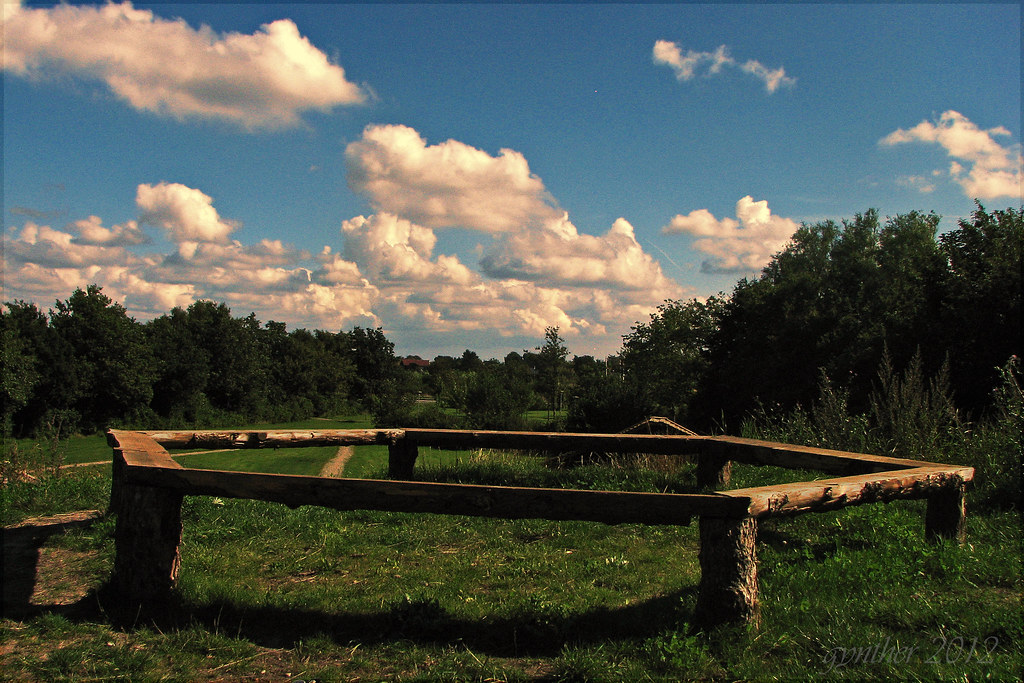
view from the hill.
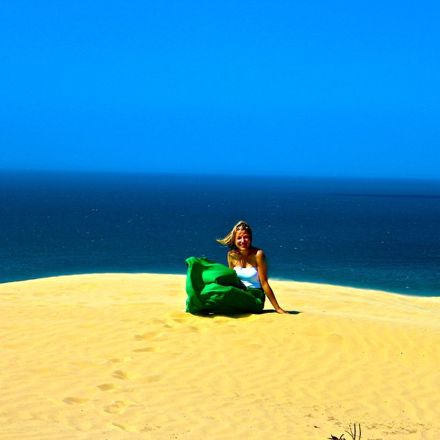
Sunny day in #rubjergknude love the #blue of the sky and #northsea and the contrast with the sand + beautiful view over #thebaydenmark #lokken #denmark #loves_denmark #wu_denmark #thebestofscandinavia #govisitdenmark #visitdenmark #nordjylland
Topographic Map of Pirupvejen, Blokhus, Denmark
Find elevation by address:

Places near Pirupvejen, Blokhus, Denmark:
Moreavej 13
Blokhus
Løkken
Jammerbugt Municipality
Lønstrup
Nibe
Vår Mark
Fjerritslev
North Denmark Region
Himmerland Golf & Spa Resort
Aars
Logstor
Løgsted
Vesthimmerland Municipality
Thorup Strand
Ranum
Norager
Skals
Stavildvej 2a
Foulum
Recent Searches:
- Elevation of Corso Fratelli Cairoli, 35, Macerata MC, Italy
- Elevation of Tallevast Rd, Sarasota, FL, USA
- Elevation of 4th St E, Sonoma, CA, USA
- Elevation of Black Hollow Rd, Pennsdale, PA, USA
- Elevation of Oakland Ave, Williamsport, PA, USA
- Elevation of Pedrógão Grande, Portugal
- Elevation of Klee Dr, Martinsburg, WV, USA
- Elevation of Via Roma, Pieranica CR, Italy
- Elevation of Tavkvetili Mountain, Georgia
- Elevation of Hartfords Bluff Cir, Mt Pleasant, SC, USA