Elevation of Piru, CA, USA
Location: United States > California > Ventura County >
Longitude: -118.79398
Latitude: 34.4152743
Elevation: 214m / 702feet
Barometric Pressure: 99KPa
Elevation Map:
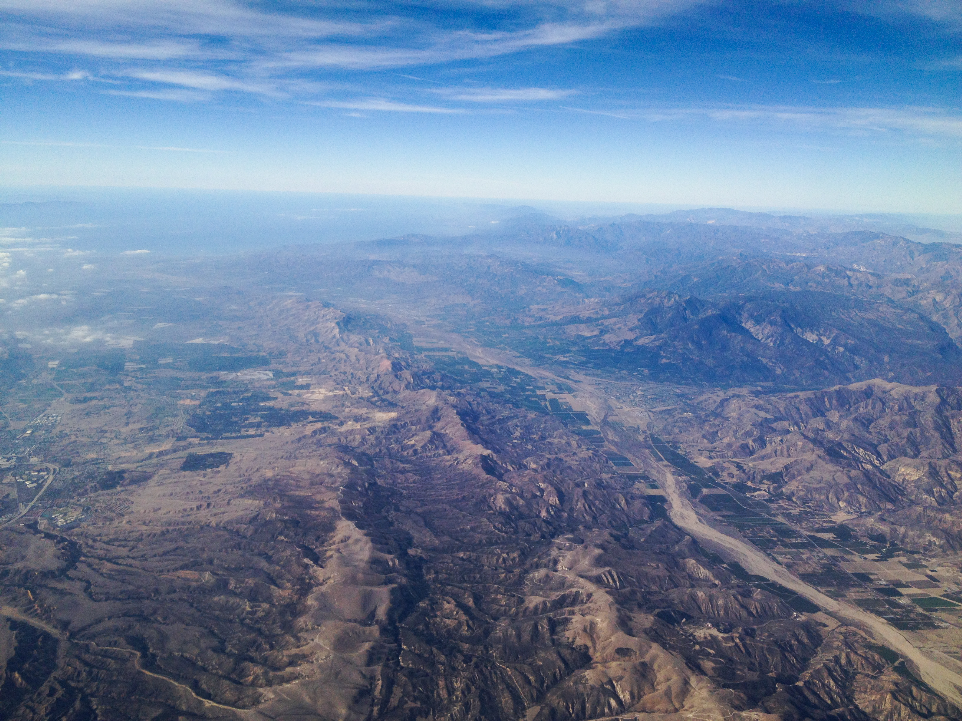
Satellite Map:
Related Photos:
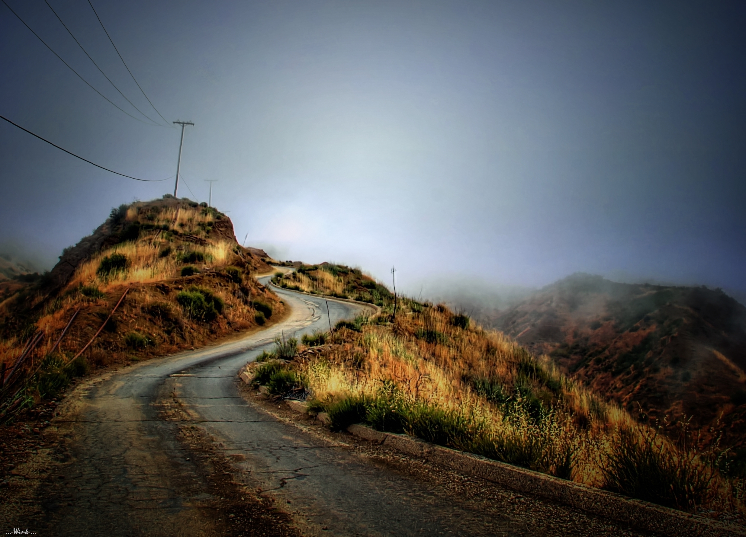
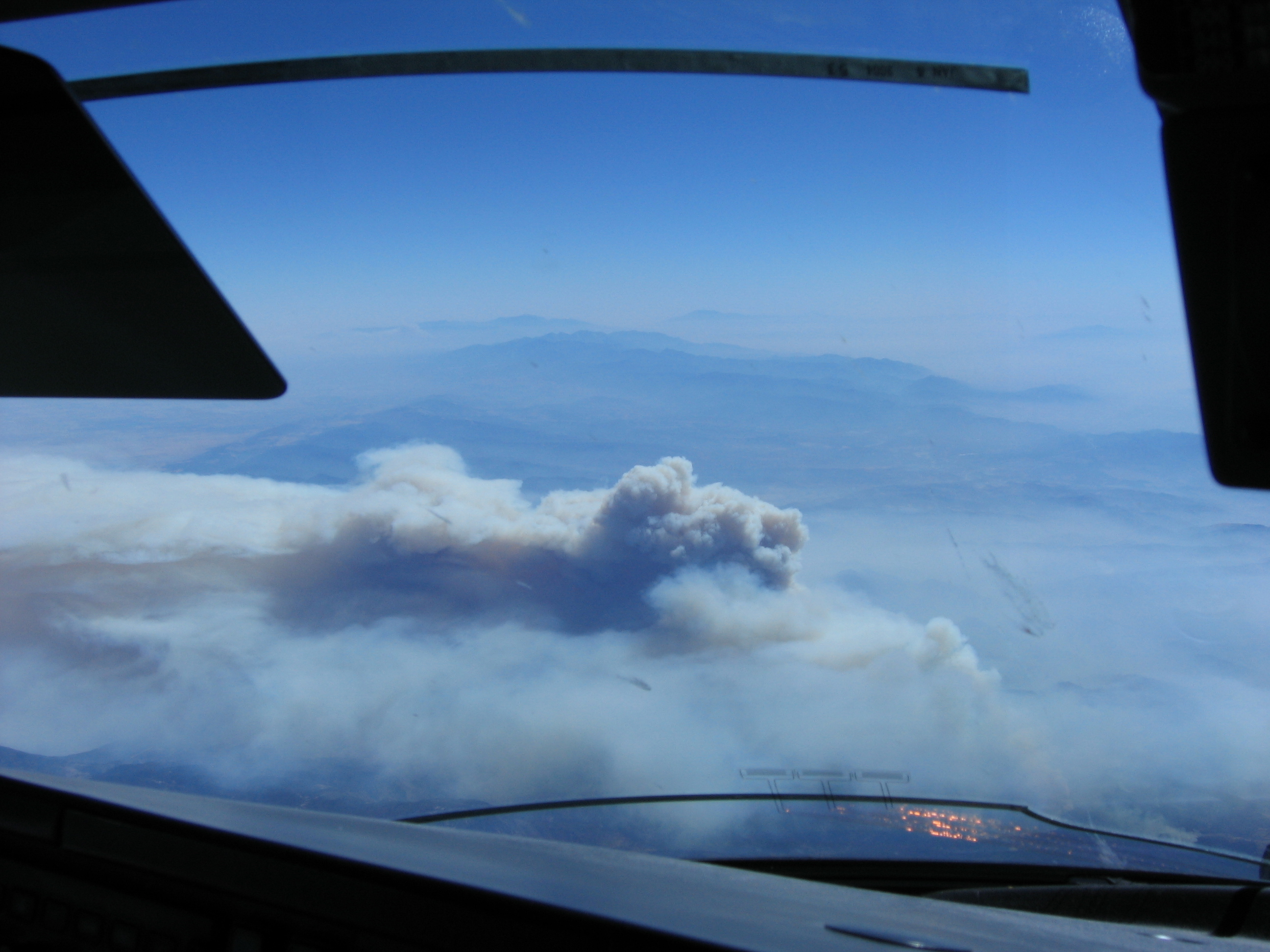
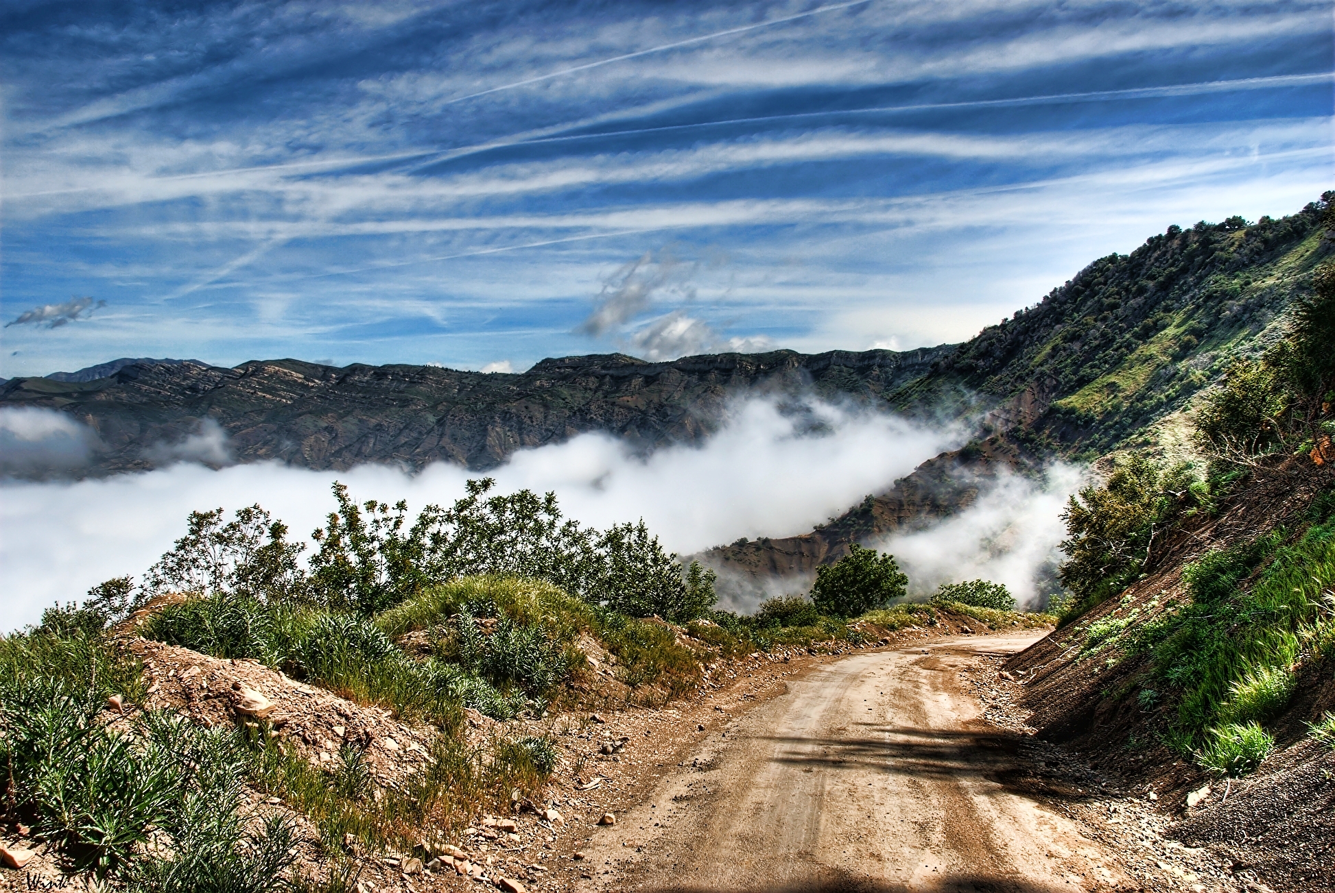
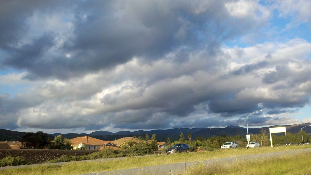
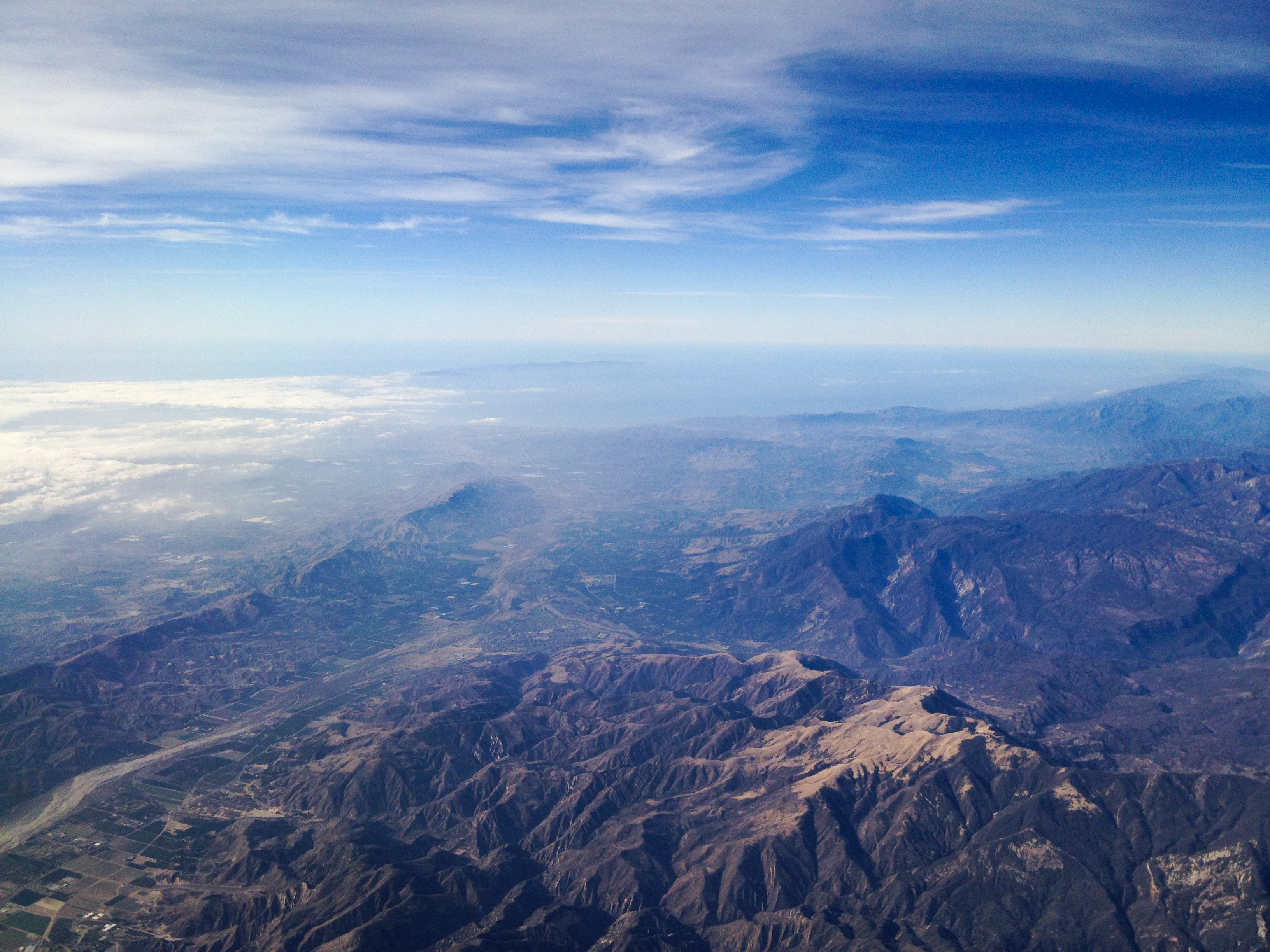
Into the Clouds
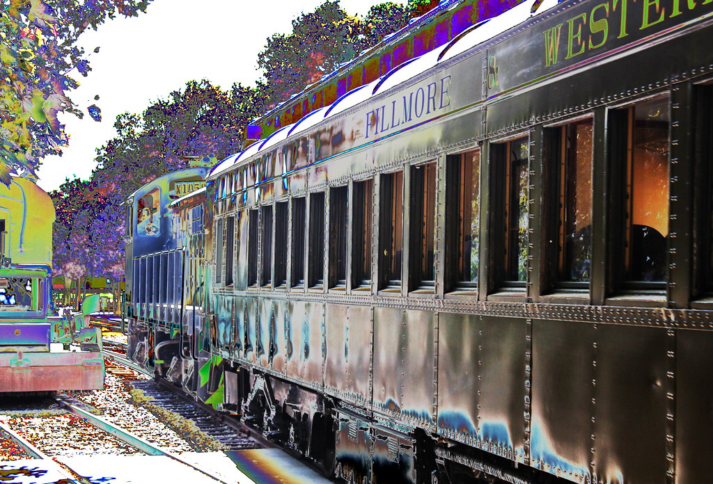
Altered Rail Realities ~ Switchers and Coach Cars On The Move At The Fillmore and Western Railway ((( View on Black Background )))
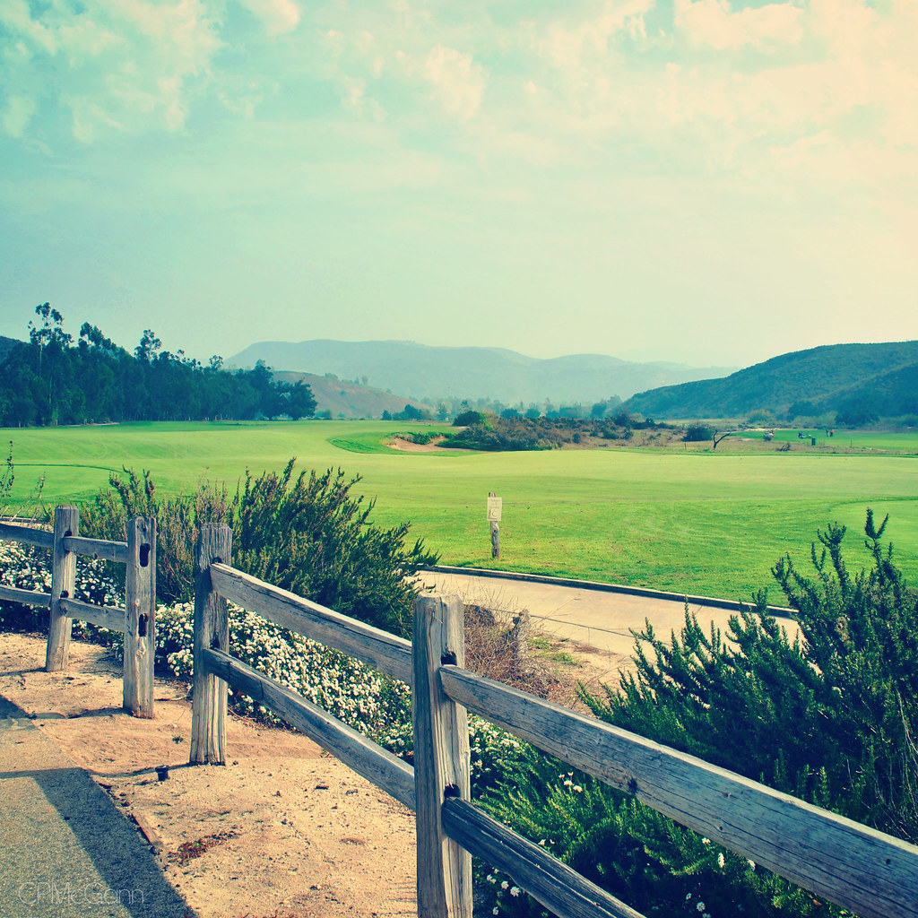
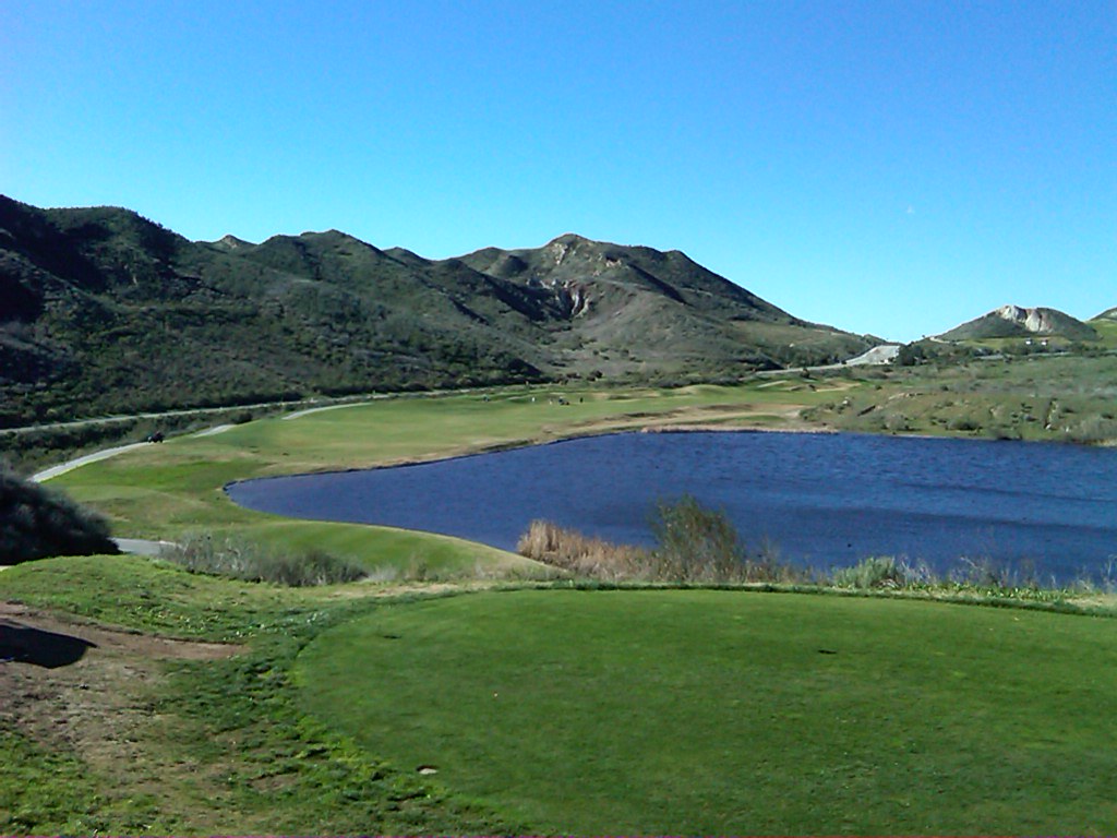
Lifestyles | Moorpark, CA | Rustic Canyon Golf Club
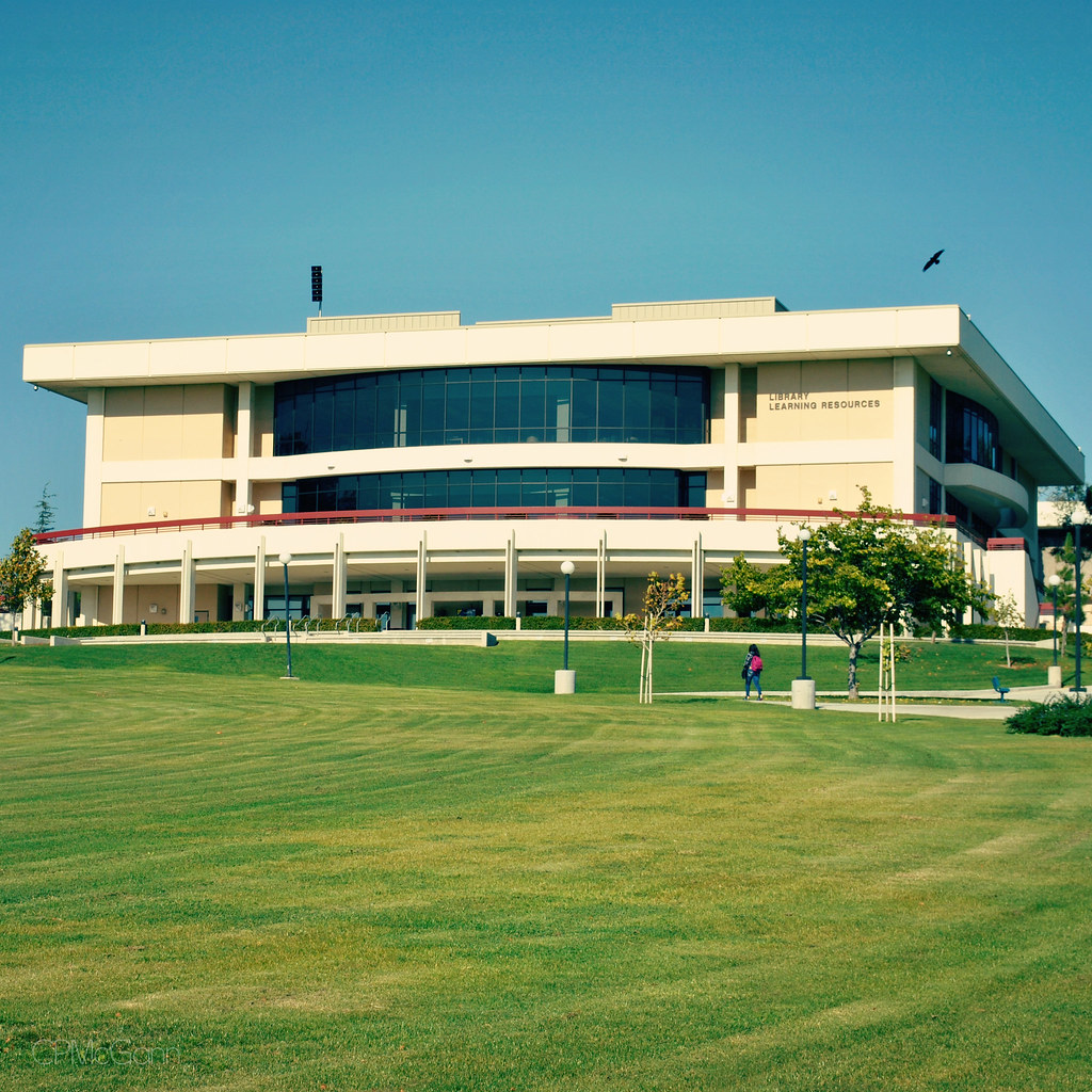
Lifestyles | Moorpark, CA | Moorpark College ~ Library
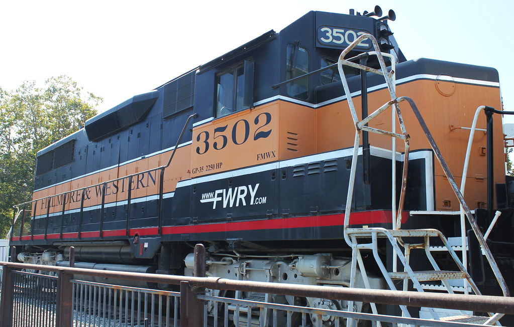
The Big EMD GP-35 Switcher Locomotive No. 3503 at the Fillmore & Western Railway in Fillmore, California ((( View On Black Backgound )))
Lifestyles | Moorpark, CA | Moorpark College ~ Exotic Animal Training & Management Facility
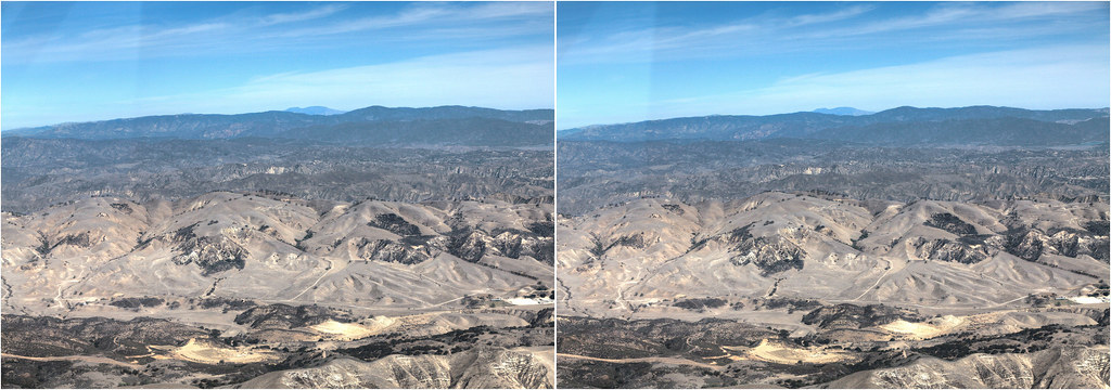
Hyperstereo View Over Ventura
Christmas at Disneyland
#country #porch #hills #nature #view #california #iphoneonly
My bedroom looking up and out
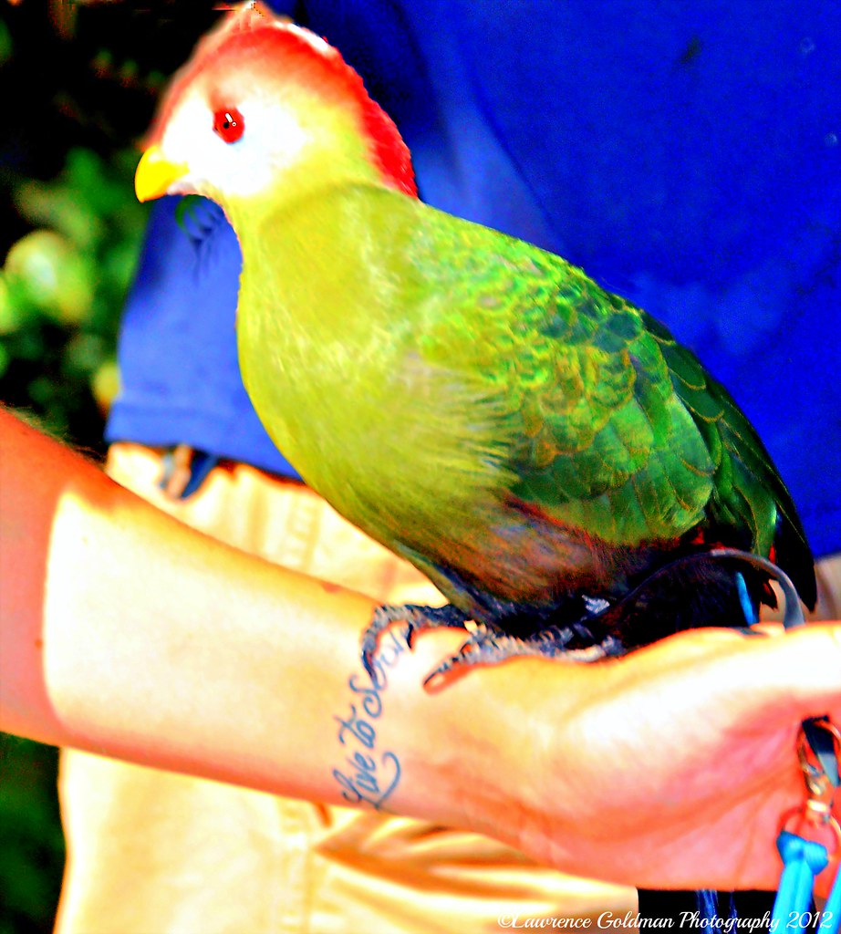
Red Crested Turaco
Simi Valley, CA Valley View Junior High School
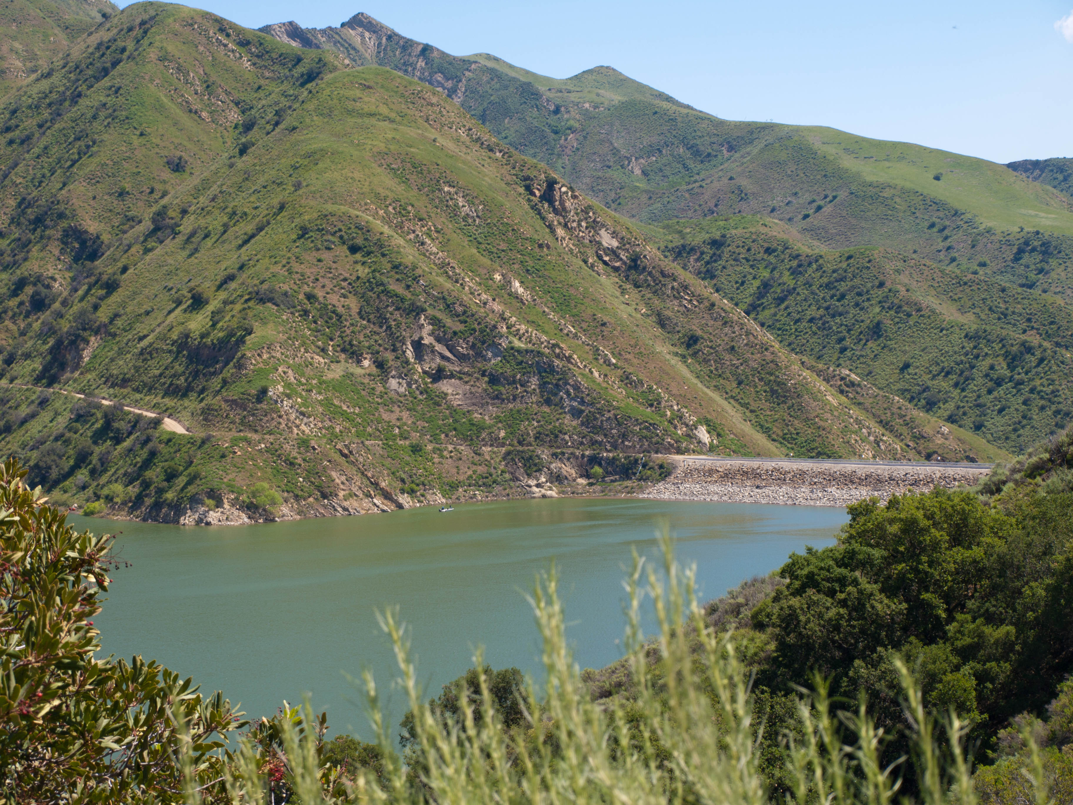
Santa Felicia Dam 1

Long Way Home2
In Good Hands
Simi Valley, CA The End of Tapo Street
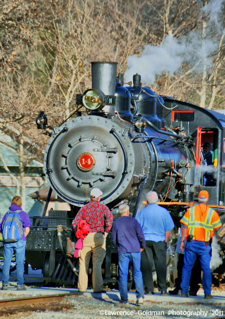
Steam Engine Passengers Viewing Train hdr
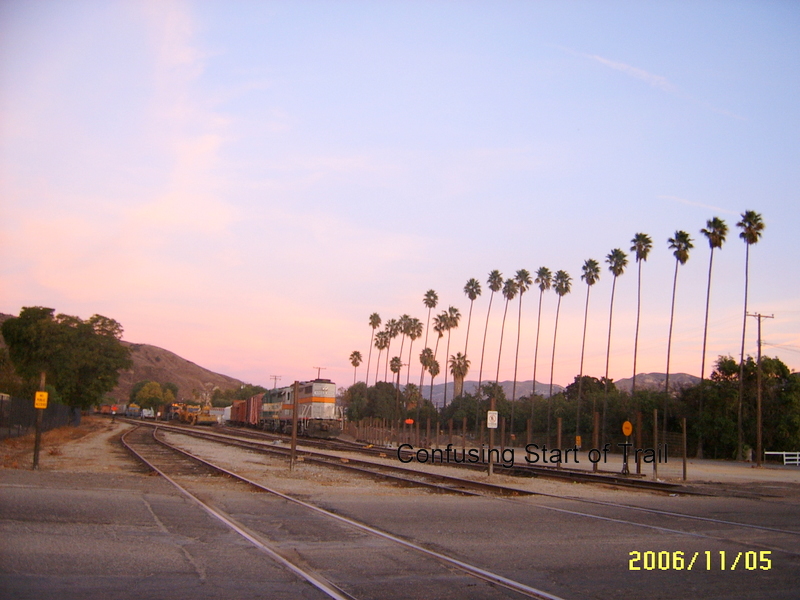
Filmore Trail, CA
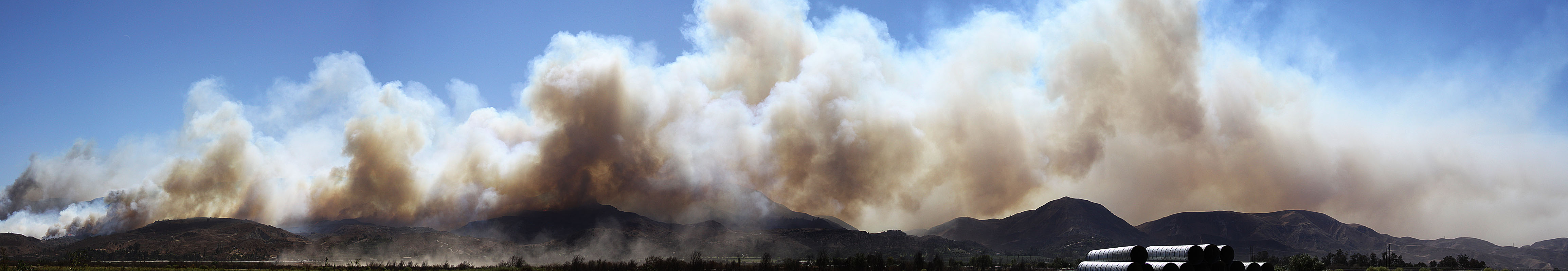
Guiberson Fire Near Fillmore/Bardsdale, CA
Castaic lake fire04.JPG
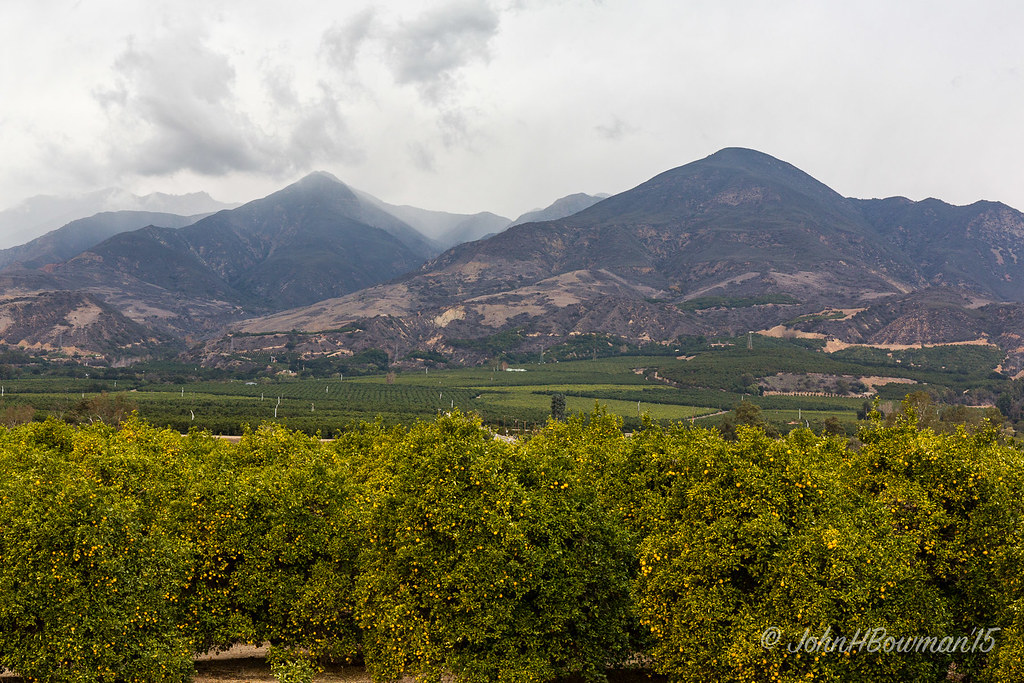
Oranges & Topatopa Mountains
Above the Clouds
Once Upon a Time
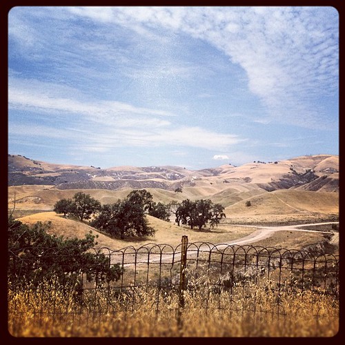
#sky #hills #fence #nature #landscape #california #iphoneonly

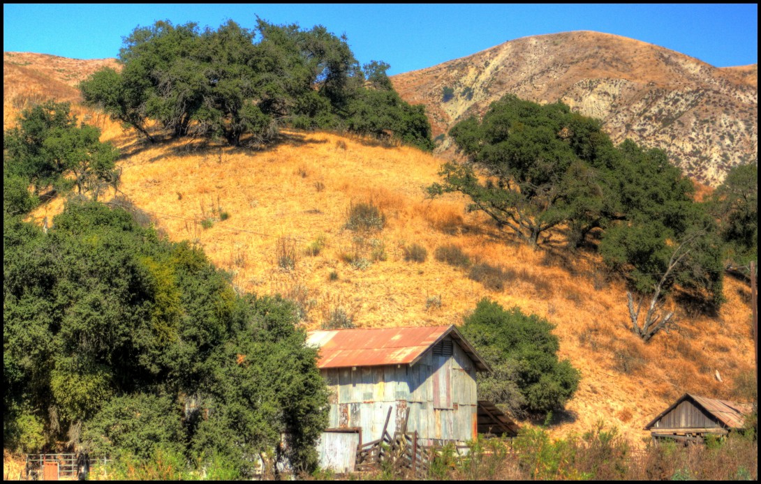
Built by Old Guys

Sky Course
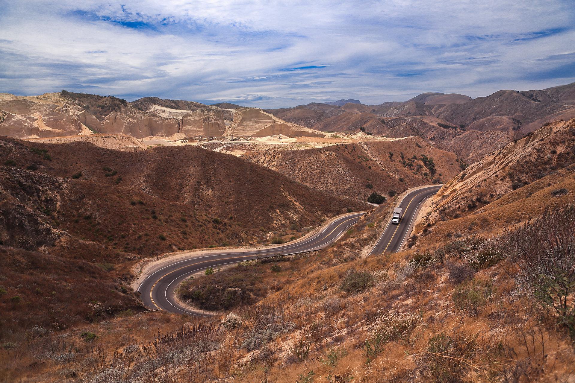
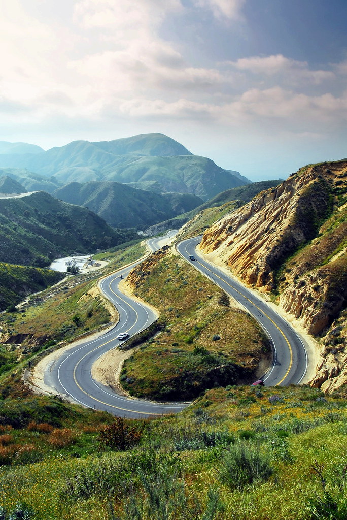
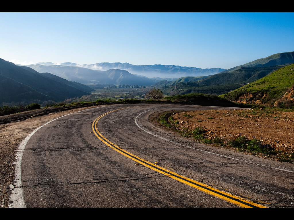
Grimes Canyon Road
2011-03-21_18-09-52_720

Grimes Canyon
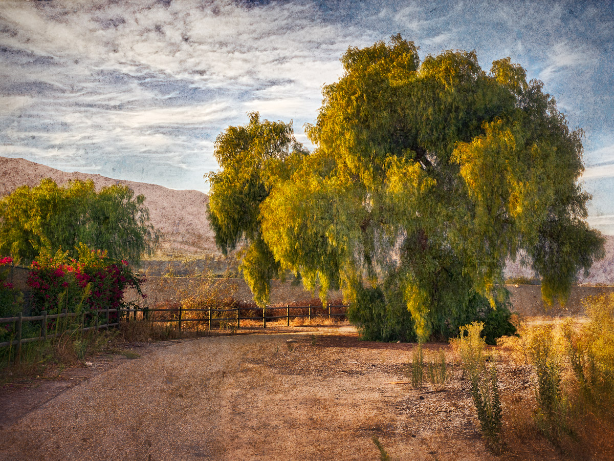
Pepper Tree by the Sespe River • Fillmore, CA 2012
Lost Canyon #9

Railroad Bridge Reflections, Piru, California
Grimes Canyon Cattle Ranch
Piru Canyon Road
LAX->SEA 24 - the 126 through Santa Paula to Ventura; a small bit of the Ojai Valley on the right.jpg
Simi Valley sunset
Size Doesn't Matter
LAX->SEA 17 - extreme northern Simi Valley on the left; the 126 through Piru, Fillmore, and Santa Paula to the right.jpg

LAX->SEA 23 - the Los Padres National Forest, Sespe Wilderness, and Sespe Condor Sanctuary north of Lake Piru.jpg

CIMG0114.JPG

Grimes Canyon Road, Fillmore, California
Topographic Map of Piru, CA, USA
Find elevation by address:

Places in Piru, CA, USA:
Places near Piru, CA, USA:
Center St, Piru, CA, USA
E Telegraph Rd, Fillmore, CA, USA
White Hawk Ln, Simi Valley, CA, USA
5313 Mine Rd
450 American St
600 W Los Angeles Ave
1419 E Jefferson Way
Valley Terrace Dr, Simi Valley, CA, USA
80 W Cochran St, Simi Valley, CA, USA
101 W Los Angeles Ave
1397 Jones Way
355 E Easy St
Rick's Gate Works Inc
Simi Valley, CA, USA
3074 Country Ln
30034 Marvin Ave
3919 Mellisa Ct
Lincoln Ave, Castaic, CA, USA
3328 Sheri Dr
3047 Omega Ave
Recent Searches:
- Elevation of 62 Abbey St, Marshfield, MA, USA
- Elevation of Fernwood, Bradenton, FL, USA
- Elevation of Felindre, Swansea SA5 7LU, UK
- Elevation of Leyte Industrial Development Estate, Isabel, Leyte, Philippines
- Elevation of W Granada St, Tampa, FL, USA
- Elevation of Pykes Down, Ivybridge PL21 0BY, UK
- Elevation of Jalan Senandin, Lutong, Miri, Sarawak, Malaysia
- Elevation of Bilohirs'k
- Elevation of 30 Oak Lawn Dr, Barkhamsted, CT, USA
- Elevation of Luther Road, Luther Rd, Auburn, CA, USA