Elevation of Pirojpur District, Bangladesh
Location: Bangladesh > Barisal Division >
Longitude: 89.9759264
Latitude: 22.5790744
Elevation: 10m / 33feet
Barometric Pressure: 101KPa
Elevation Map:
Satellite Map:
Related Photos:

Fisheye View of Passengers Inside Rocket Steamer - Bangladesh

Pirojpur river view park

09-12-18-kawkhali_Rally-1

What a great taste the driver of our bus has! He keeps some flower plants just behind the dashboard. He properly nurtures them water and compost fertilizer etc. I asked him if he owns the bus. He said NO with a big smile and also said that he likes garden

A proud farmer in Jhalokhati, Bangladesh. Photo by Mélody Braun, 2013.

Bricks Baking Near the River - Bangladesh

IMG_20181217_123122_HDR-01

IMG_20181217_111414_HDR-01

IMG_20181217_110940_HDR-01

IMG_20181217_134433-01

IMG_20181217_134433-01-01

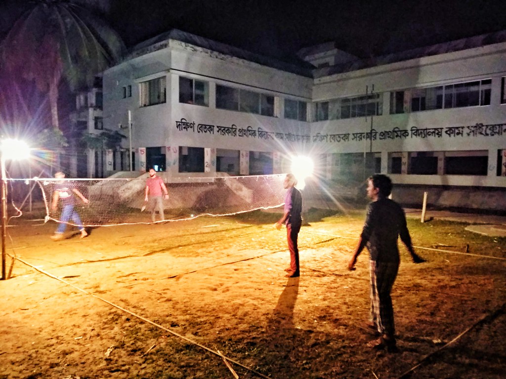
IMG_20181217_234311-01

IMG_20181217_234128_HHT-01

IMG_20181217_234126_HHT-01
IMG_20181217_234016_HHT-01

IMG_20181217_234124_HHT-01

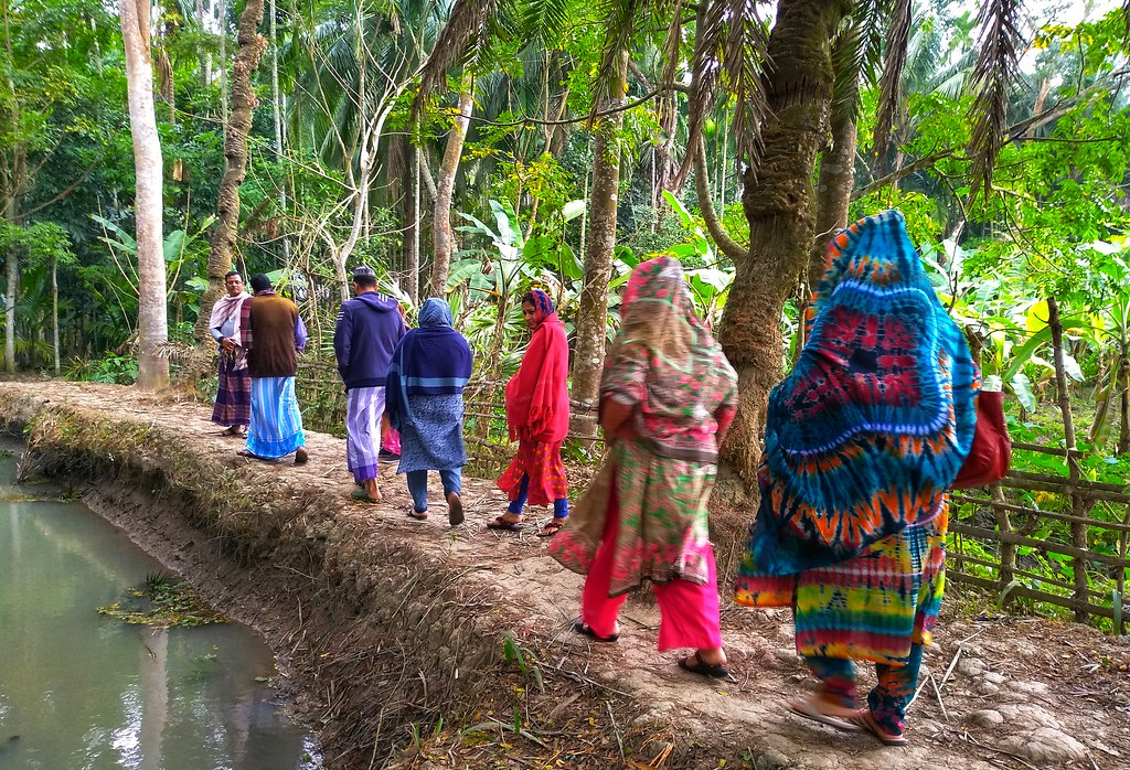
IMG_20181218_135950-01

IMG_20181218_134112-01
IMG_20181218_125657-01

IMG_20181218_125657-02

IMG_20181218_125513-01
Topographic Map of Pirojpur District, Bangladesh
Find elevation by address:

Places near Pirojpur District, Bangladesh:
Bagerhat District
Bagerhat
Rampal Upazila
Khulna City Bypass
Dacope
Khulna City
Batiaghata Upazila
Gopalganj District
Batiaghata Bazar
Sher-e-bangla Road
Hantalbunia
Khulna University
Krishna Nagar
Khulna
Digholia Upazila Health Complex, Khulna
Daulatpur
Arongghata
Dighalia Upazila
Arongghata Railway Station
Khulna District
Recent Searches:
- Elevation of Crocker Dr, Vacaville, CA, USA
- Elevation of Pu Ngaol Community Meeting Hall, HWHM+3X7, Krong Saen Monourom, Cambodia
- Elevation of Royal Ontario Museum, Queens Park, Toronto, ON M5S 2C6, Canada
- Elevation of Groblershoop, South Africa
- Elevation of Power Generation Enterprises | Industrial Diesel Generators, Oak Ave, Canyon Country, CA, USA
- Elevation of Chesaw Rd, Oroville, WA, USA
- Elevation of N, Mt Pleasant, UT, USA
- Elevation of 6 Rue Jules Ferry, Beausoleil, France
- Elevation of Sattva Horizon, 4JC6+G9P, Vinayak Nagar, Kattigenahalli, Bengaluru, Karnataka, India
- Elevation of Great Brook Sports, Gold Star Hwy, Groton, CT, USA