Elevation of Pir Baba/ Gadaizi, Buner, Khyber Pakhtunkhwa, Pakistan
Location: Pakistan > Khyber Pakhtunkhwa > Buner >
Longitude: 72.3547915
Latitude: 34.5922865
Elevation: 1743m / 5718feet
Barometric Pressure: 82KPa
Elevation Map:
Satellite Map:
Related Photos:

buner (9)

buner (10)

buner (13)

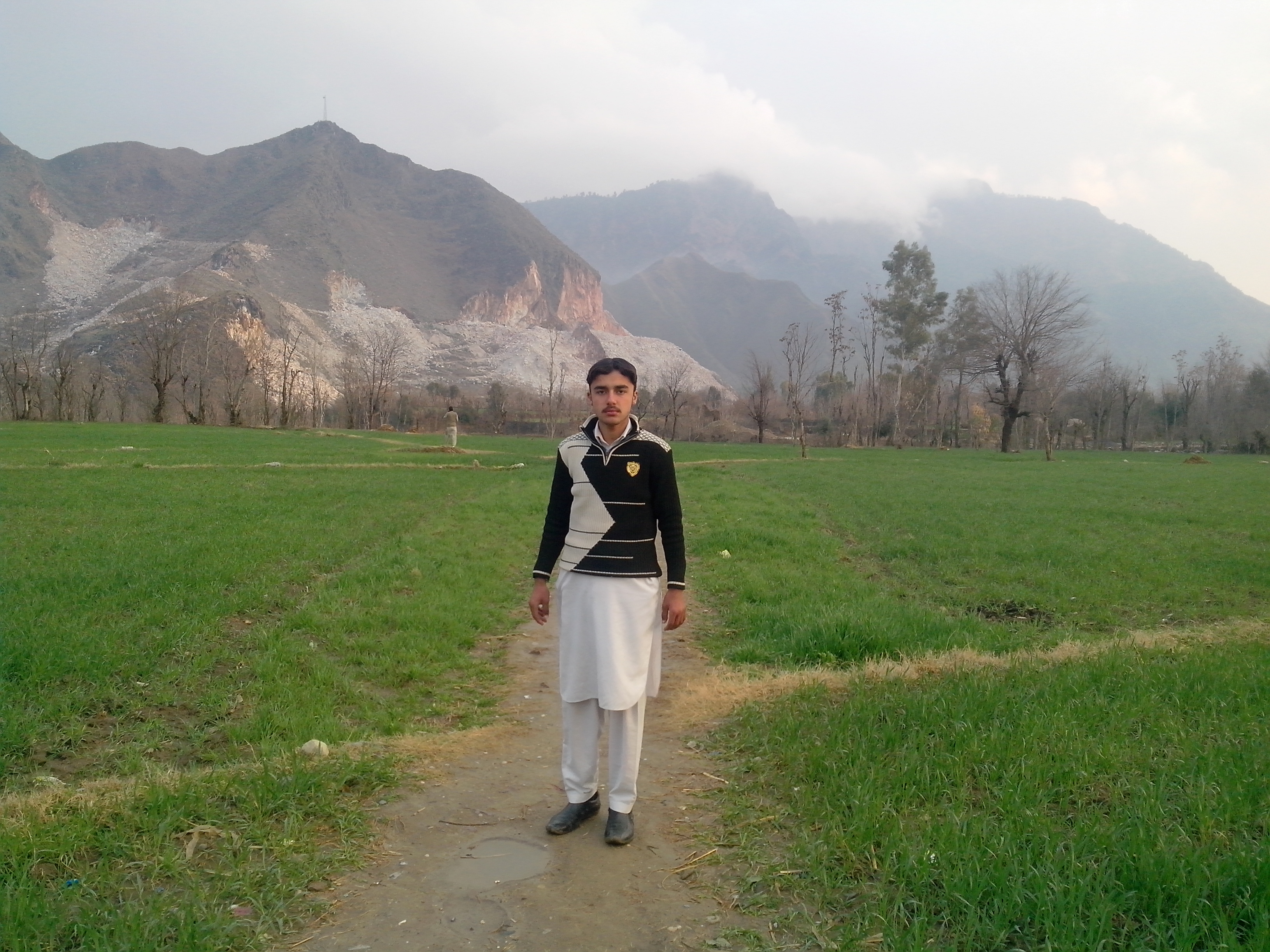
And my friend

IMG_1391 2

And my friend

And my friend
And my friend

And my friend

And my friend
Topographic Map of Pir Baba/ Gadaizi, Buner, Khyber Pakhtunkhwa, Pakistan
Find elevation by address:

Places in Pir Baba/ Gadaizi, Buner, Khyber Pakhtunkhwa, Pakistan:
Places near Pir Baba/ Gadaizi, Buner, Khyber Pakhtunkhwa, Pakistan:
Salarzo Maira
White Palace
Babuzai
Sangar
Saidu Sharif
Jambil Swat Kpk Pakistan
Jambil
Butkara I
Qambar
Landikas
Mingora
Qambar Bypass Ground
Mingora
G Qurban Restaurant
Khyber Shinwari Restaurant
Relax Food Point
Hotel Swat Regency
Hujra Restaurant Swat
China Town Restaurant
Swat View Hotel
Recent Searches:
- Elevation of Lytham Ln, Katy, TX, USA
- Elevation of Tater Hill, Oklahoma, USA
- Elevation of NY-, Friendship, NY, USA
- Elevation of 64 Danakas Dr, Winnipeg, MB R2C 5N7, Canada
- Elevation of 4 Vale Rd, Sheffield S3 9QX, UK
- Elevation of Keene Point Drive, Keene Point Dr, Grant, AL, USA
- Elevation of State St, Zanesville, OH, USA
- Elevation of Austin Stone Dr, Haslet, TX, USA
- Elevation of Bydgoszcz, Poland
- Elevation of Bydgoszcz, Poland