Elevation of Piqua, KS, USA
Location: United States > Kansas > Woodson County > Neosho Falls >
Longitude: -95.537462
Latitude: 37.9220374
Elevation: 315m / 1033feet
Barometric Pressure: 98KPa
Elevation Map:
Satellite Map:
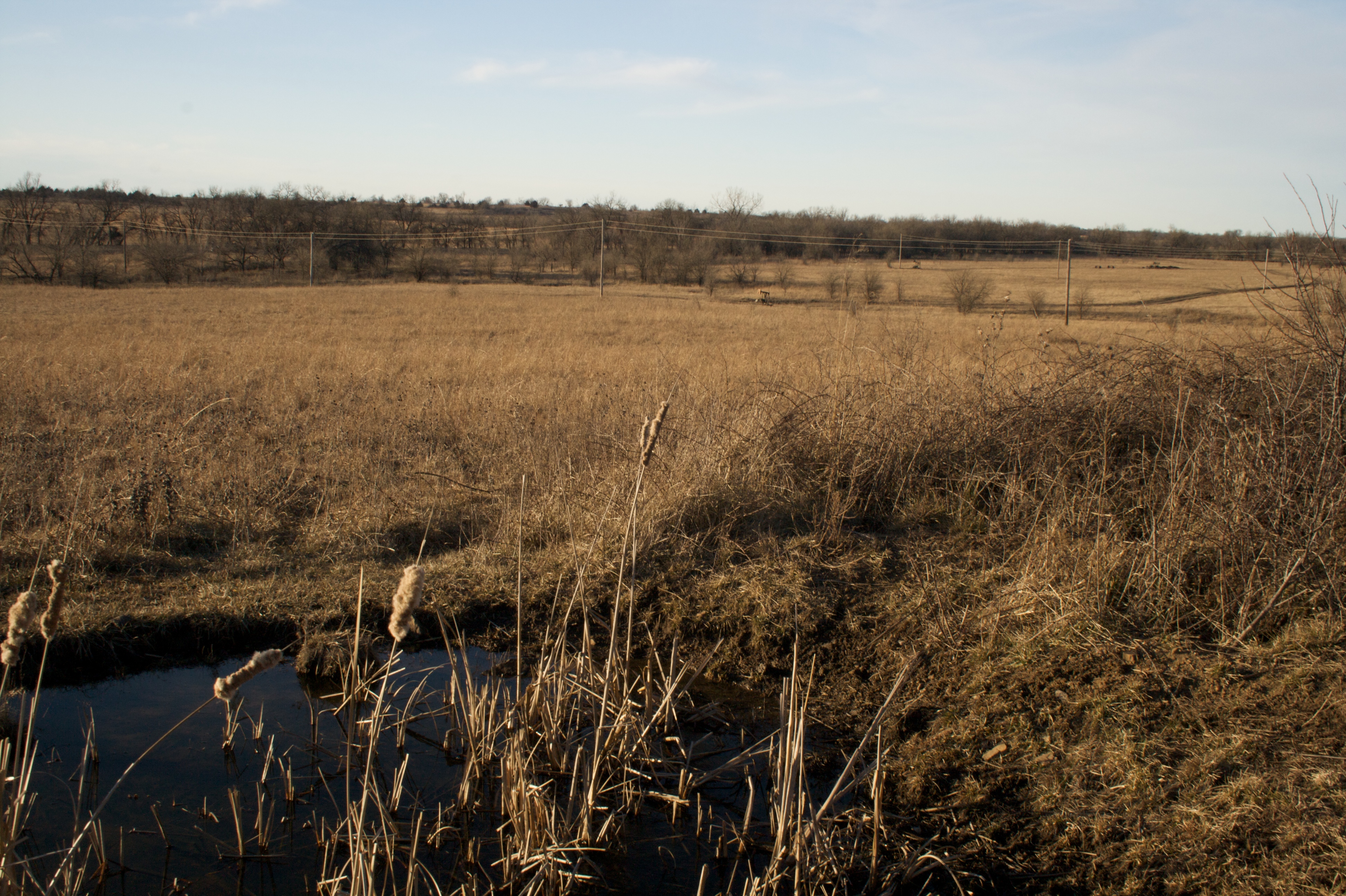
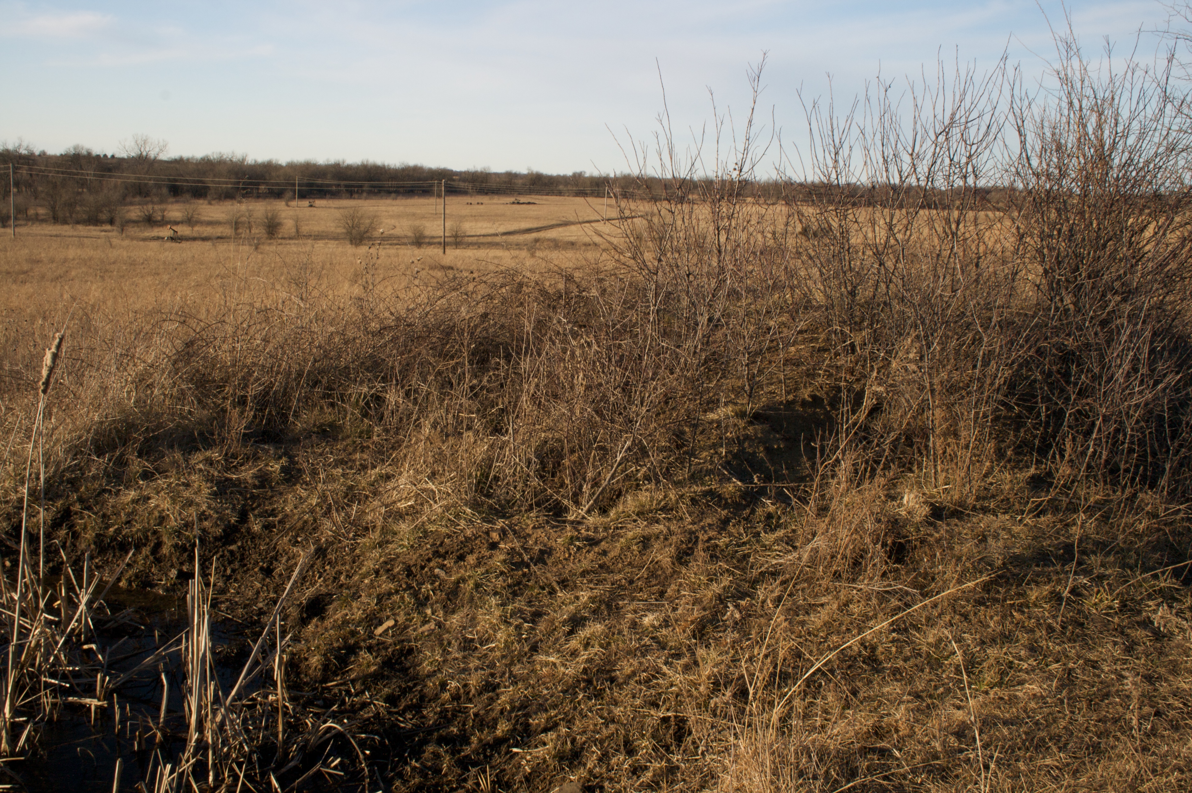
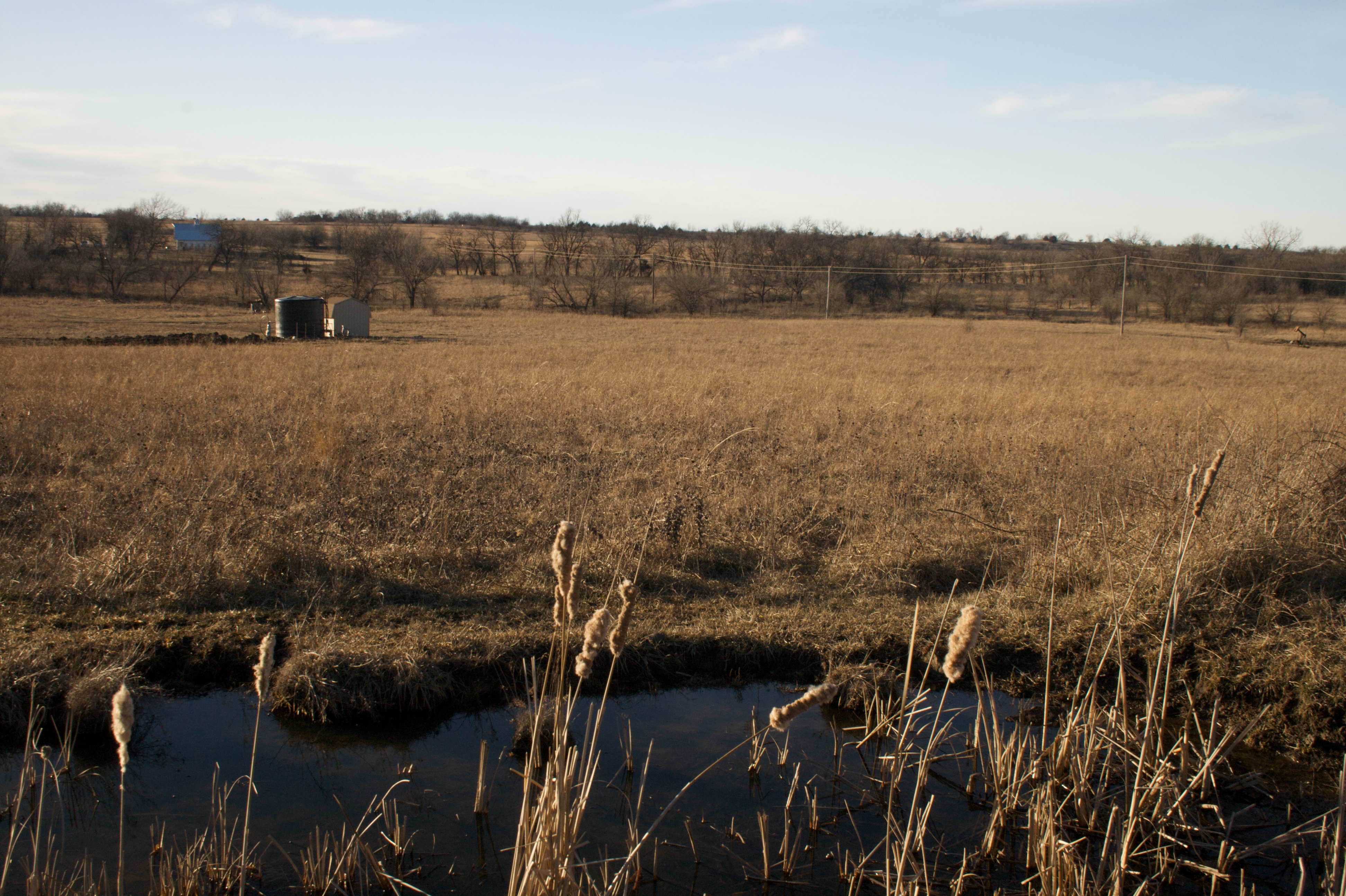
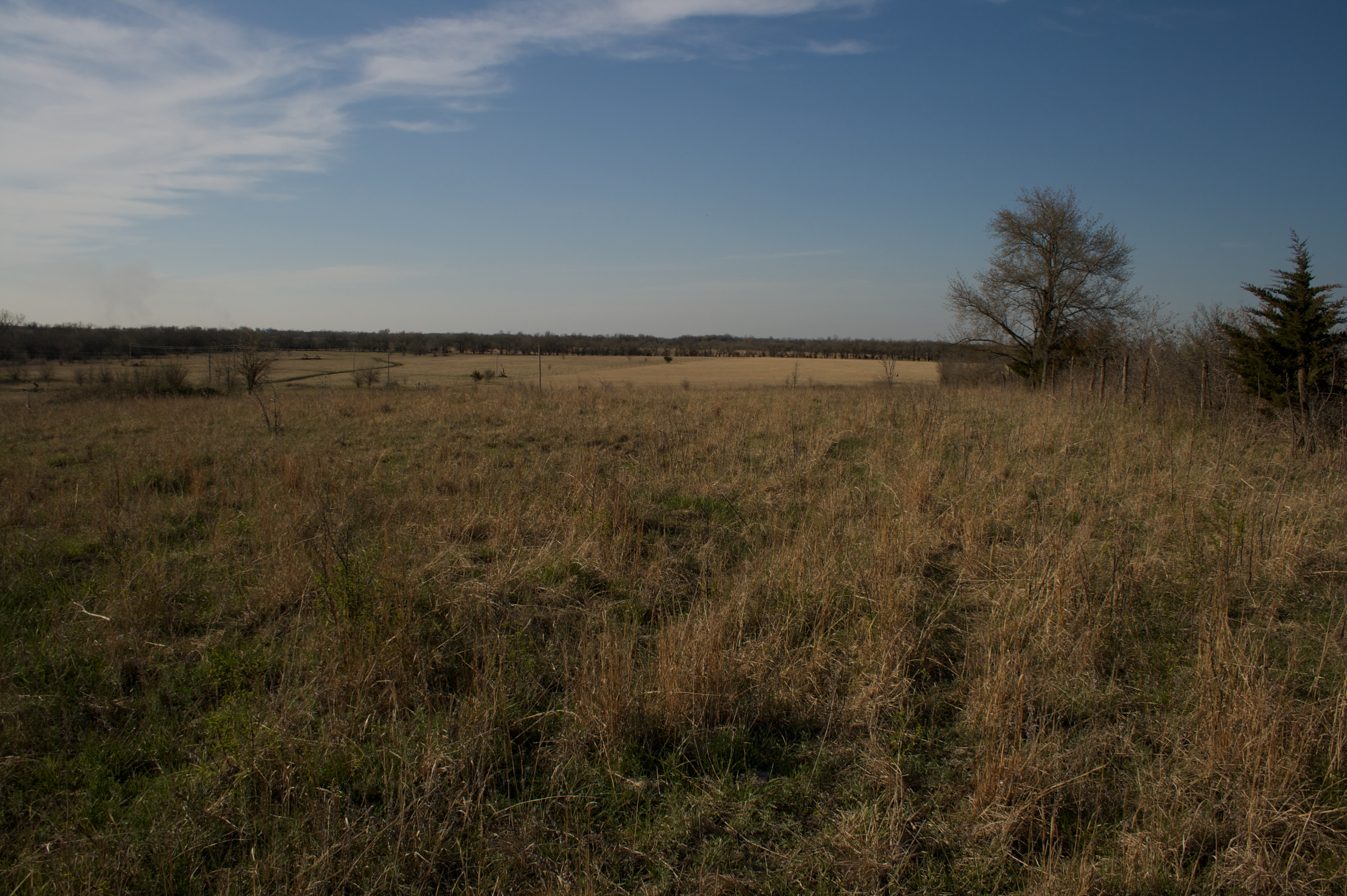
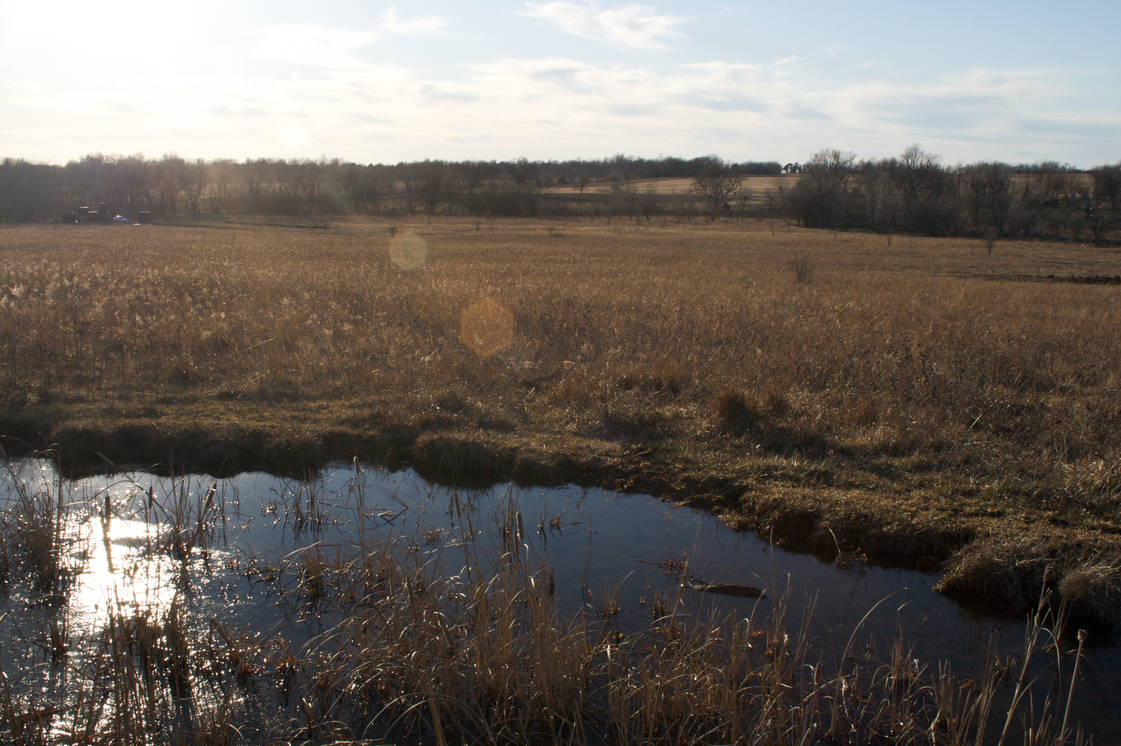
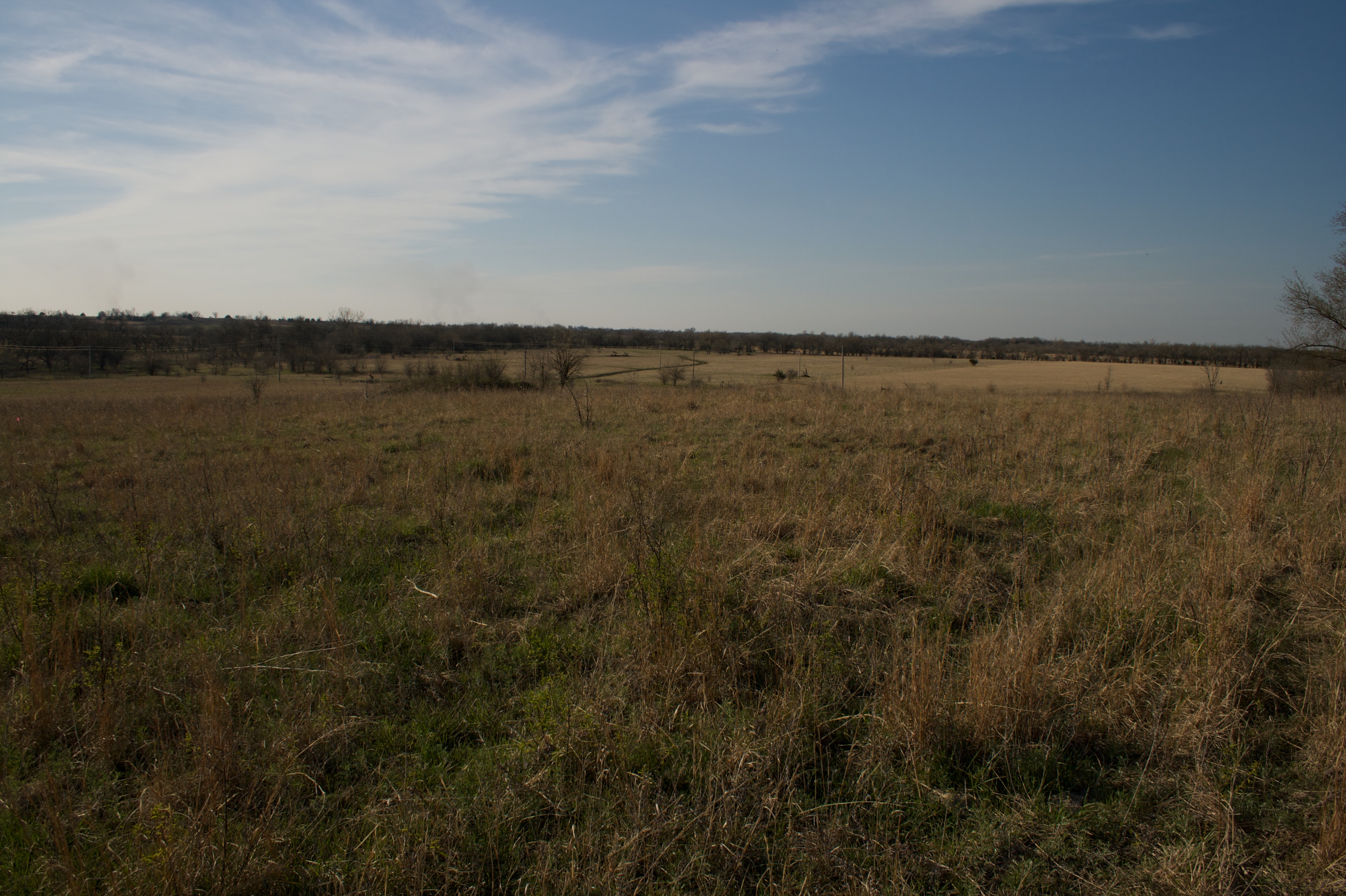
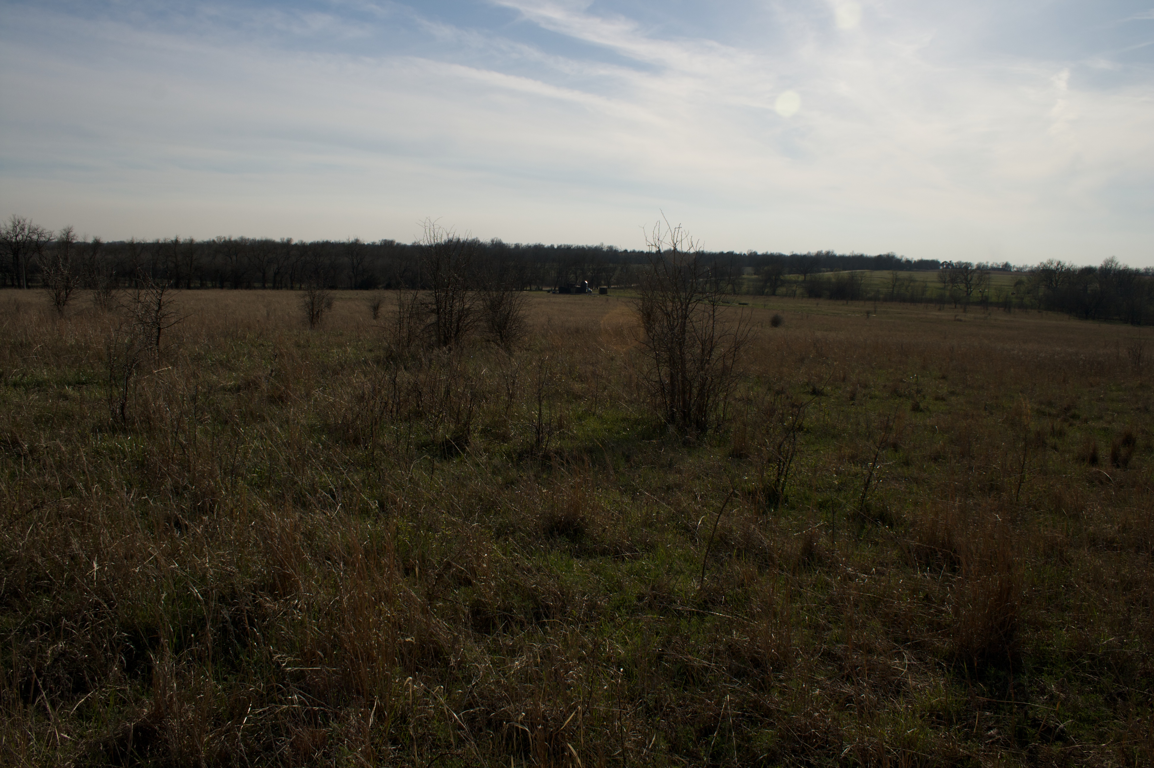
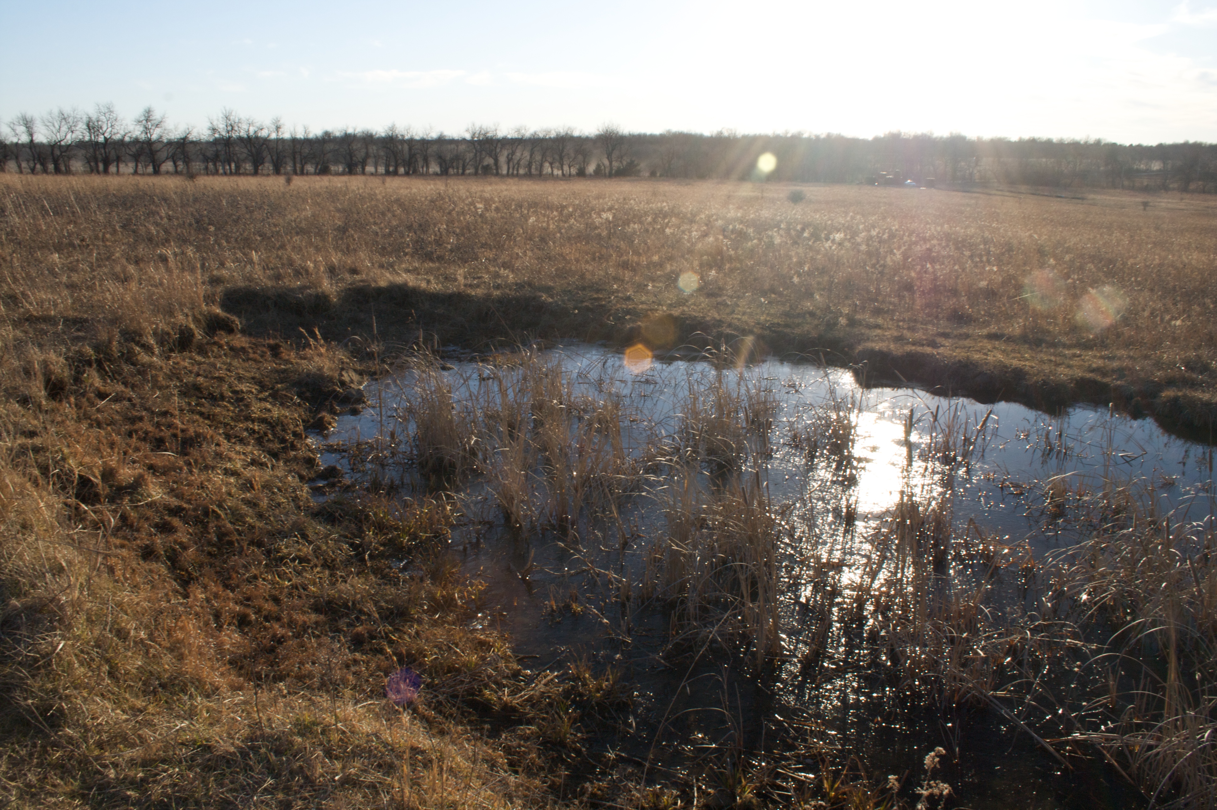
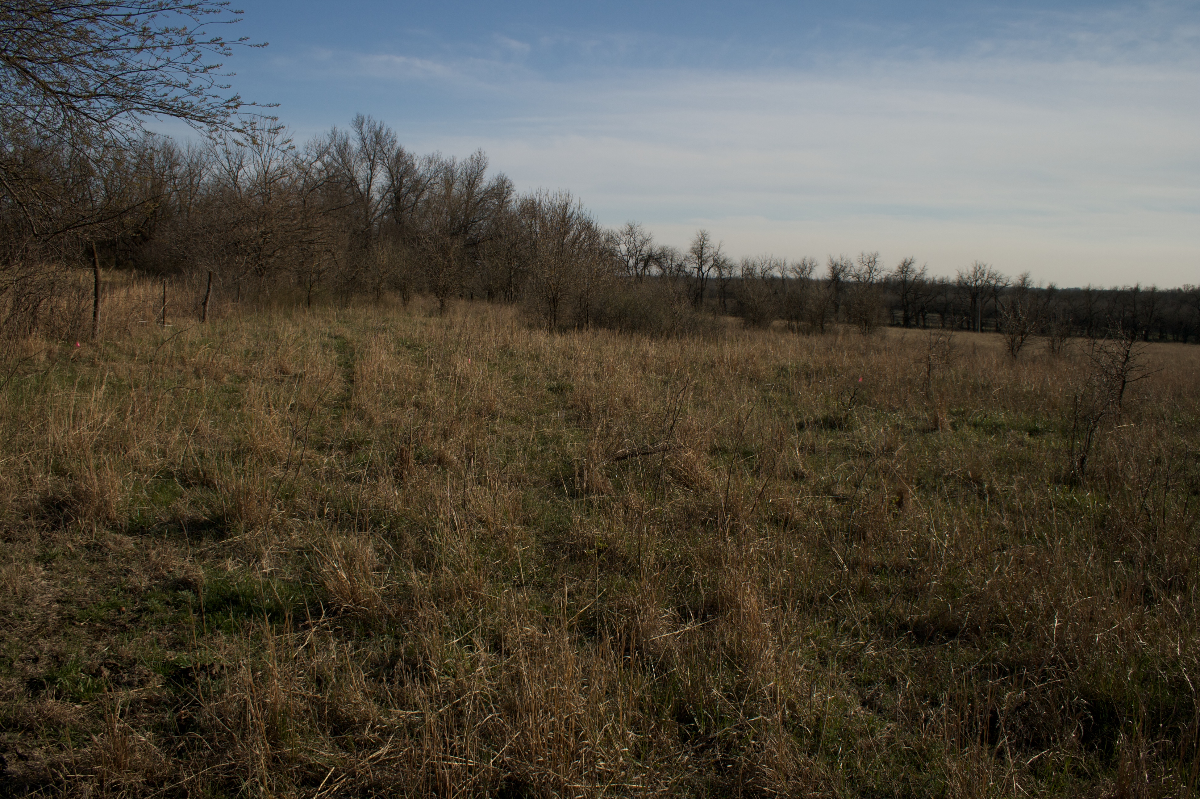
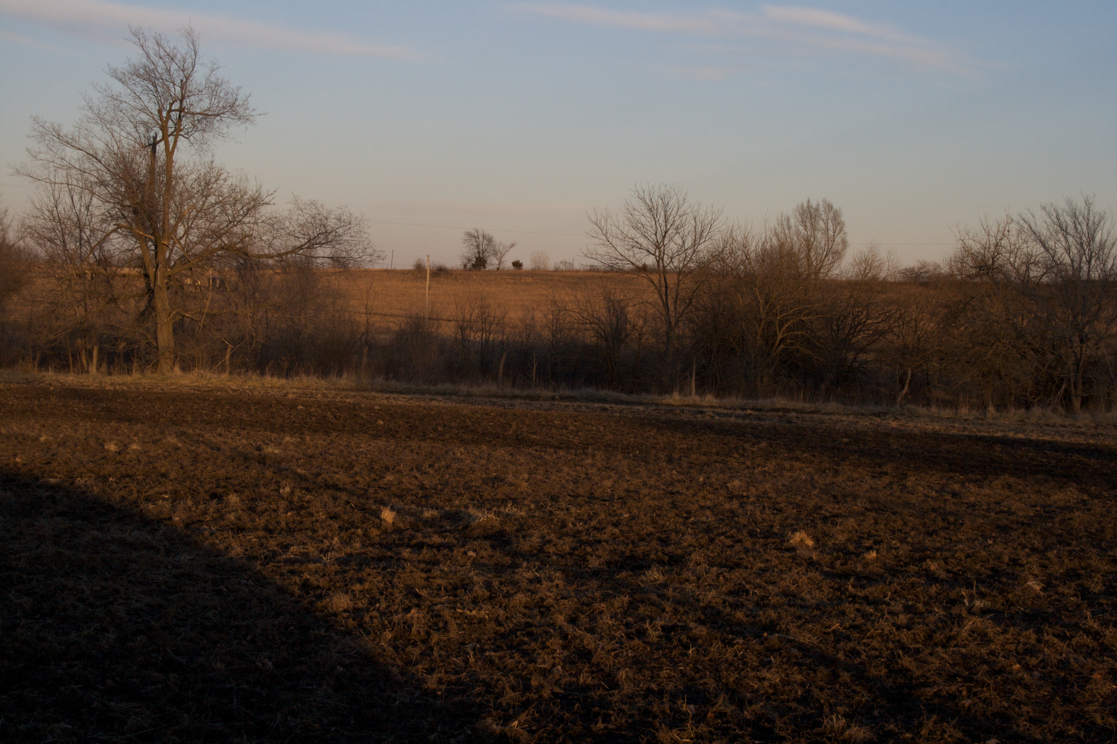
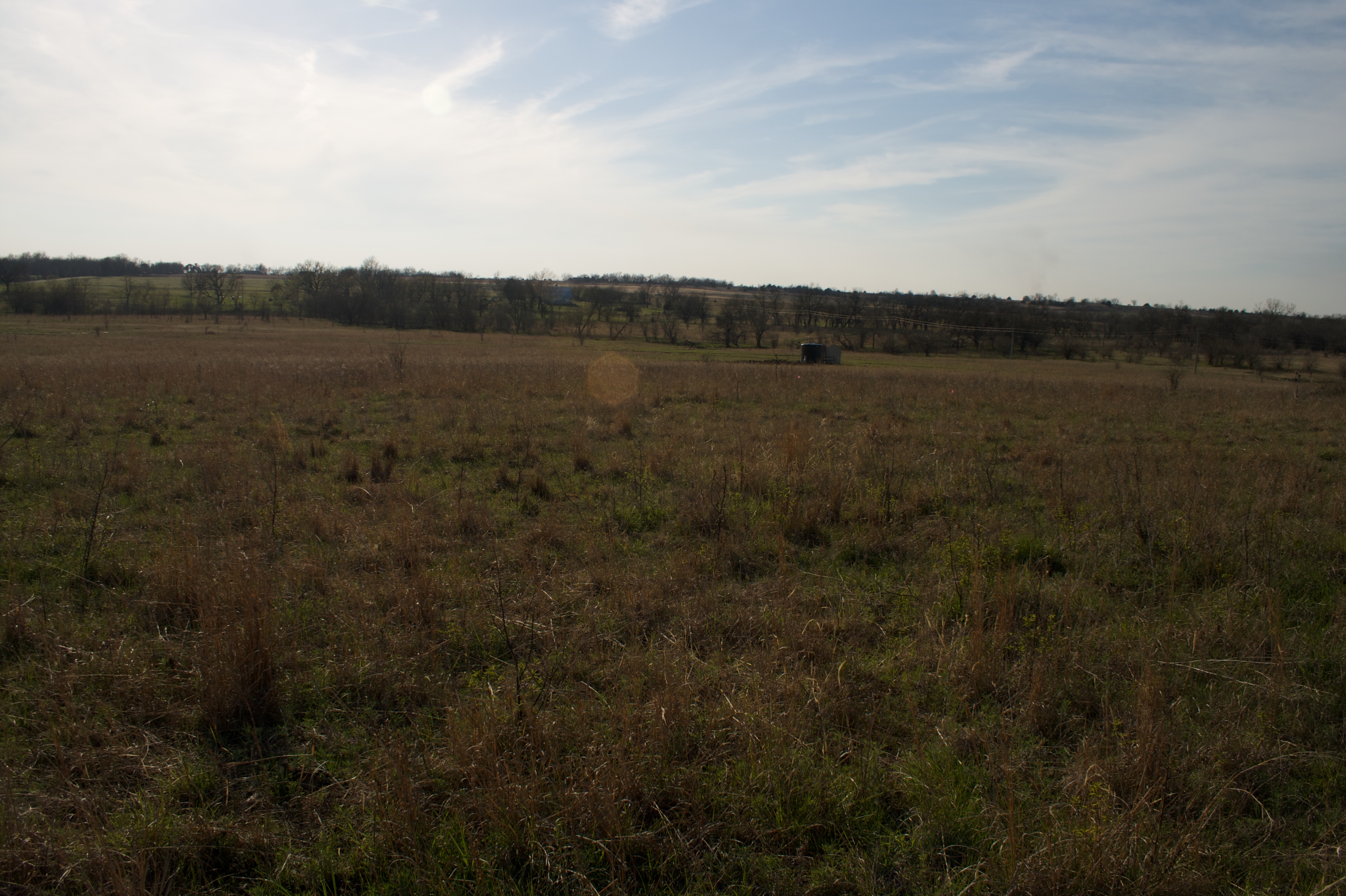
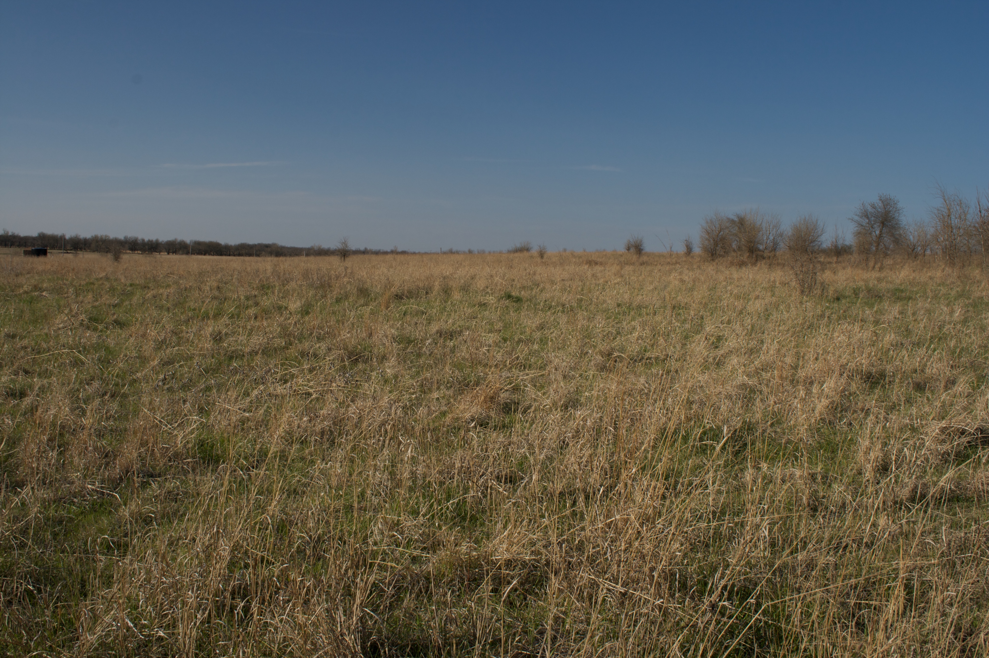
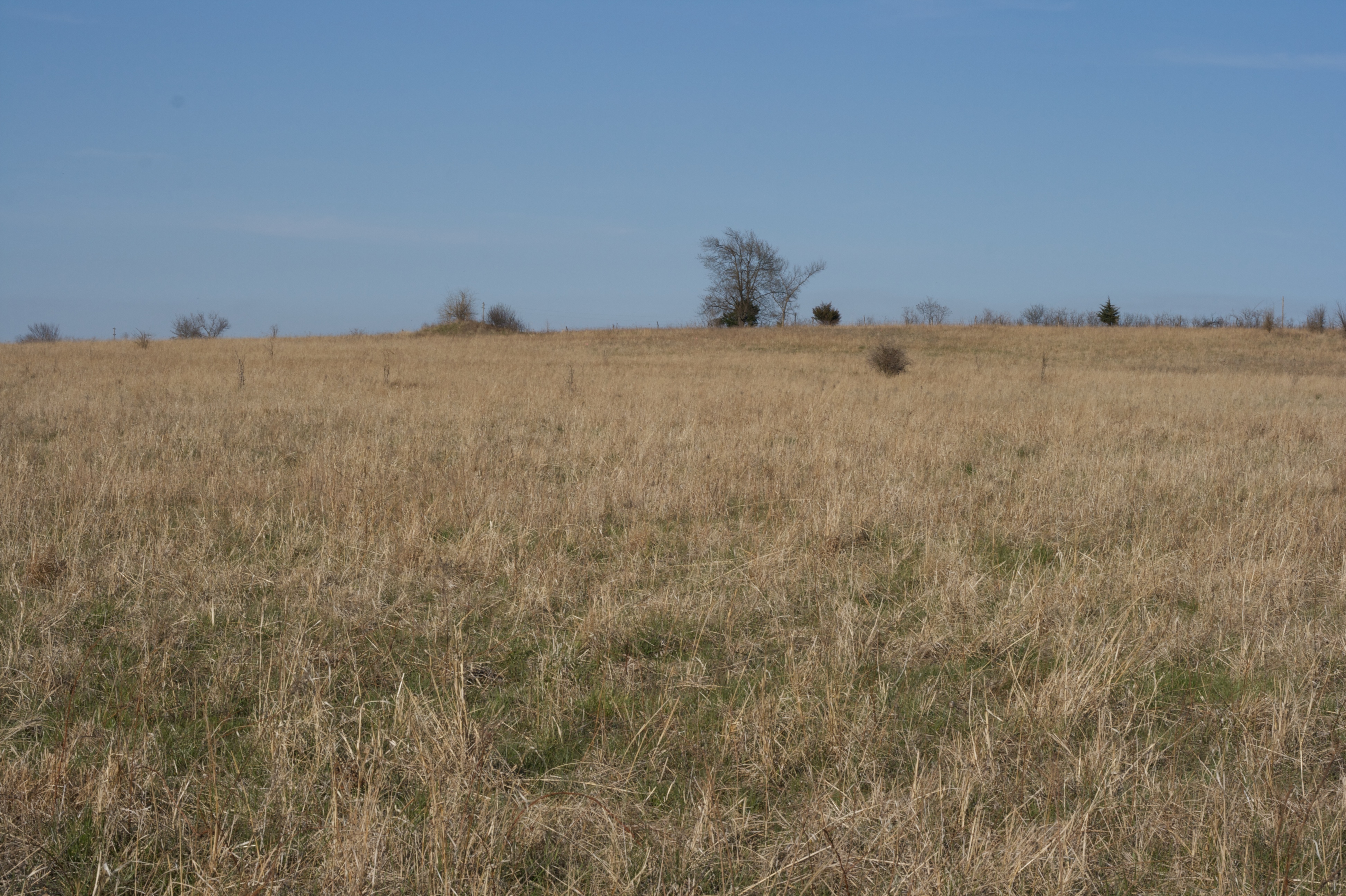
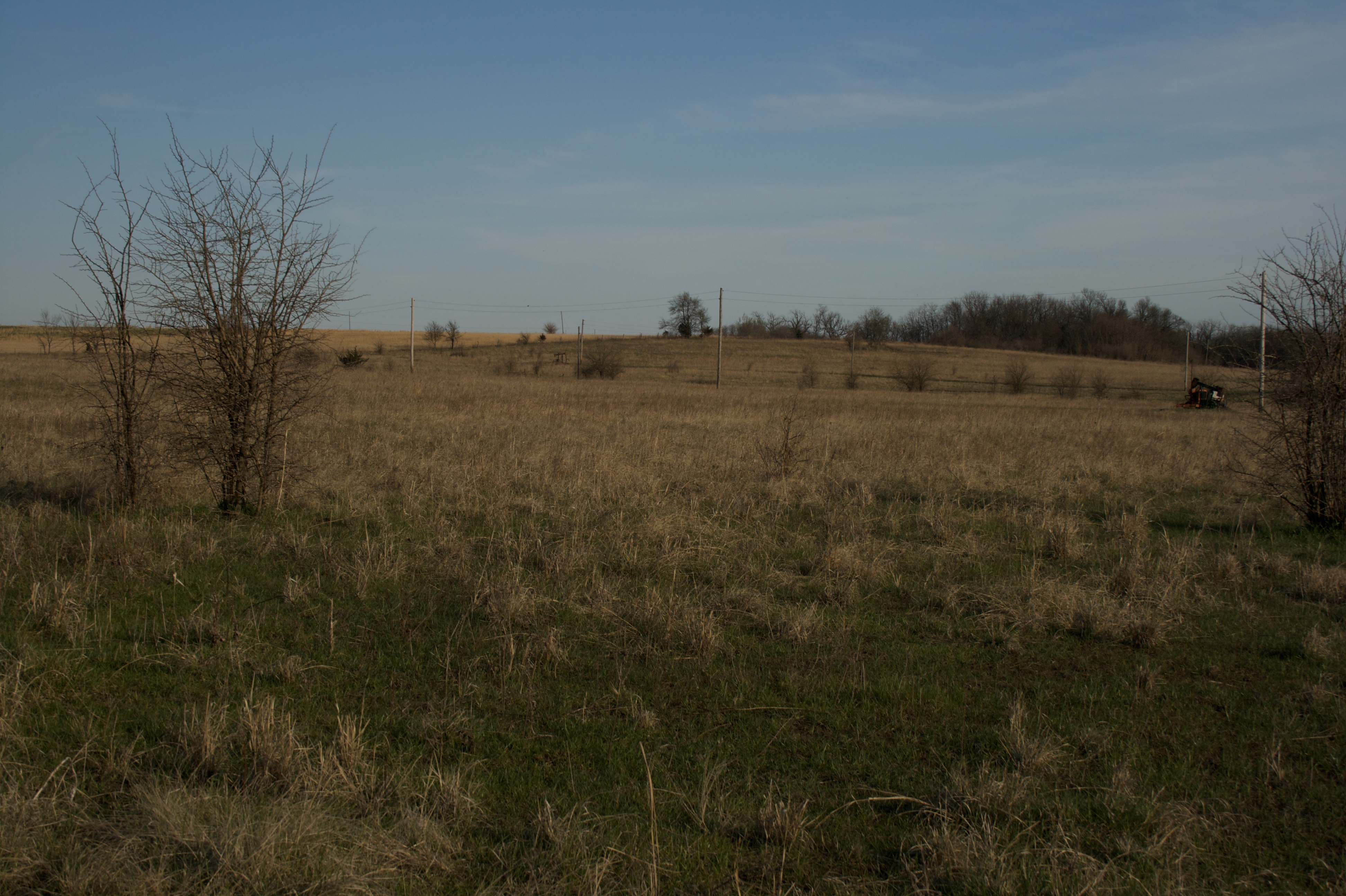
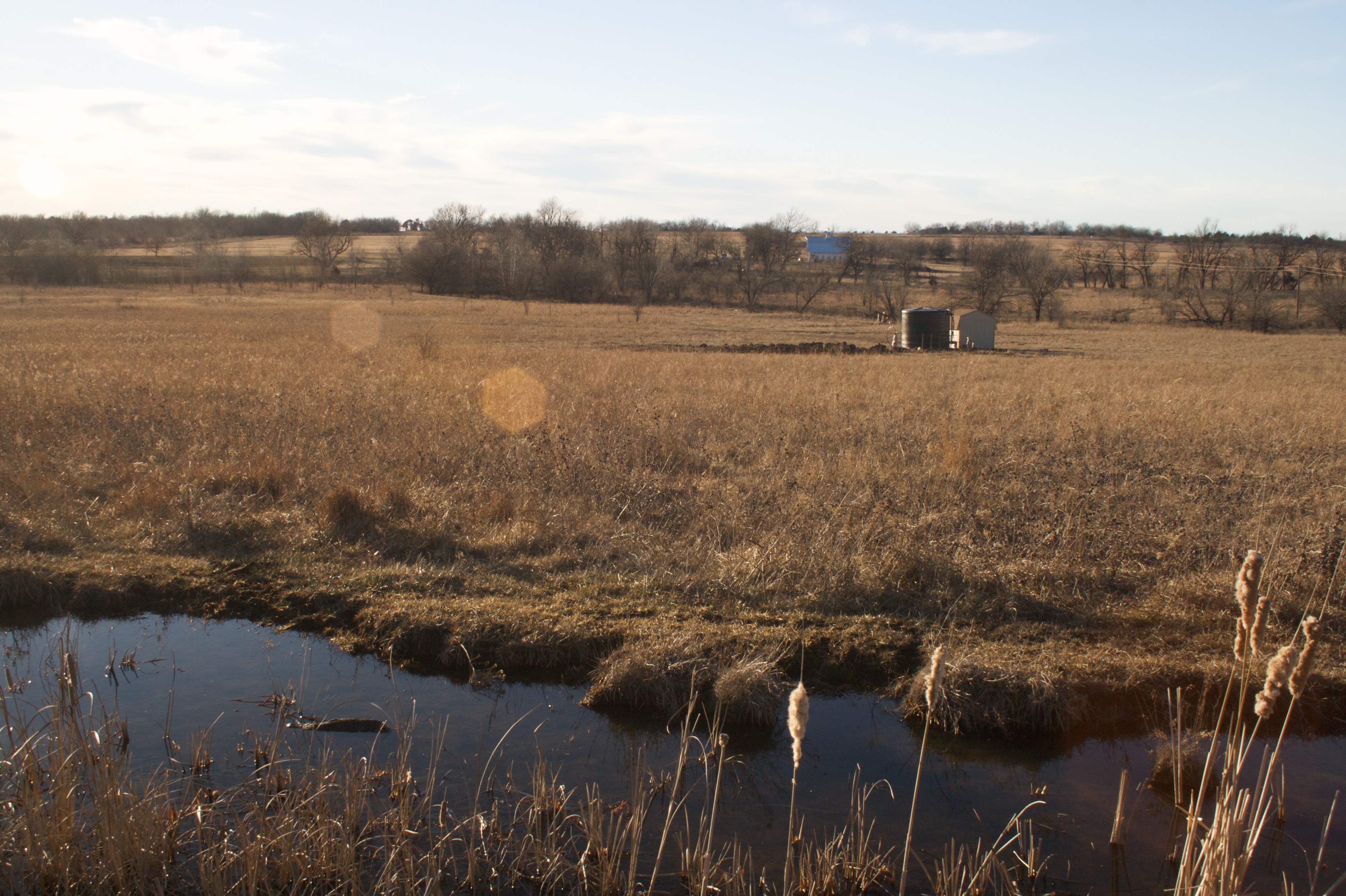
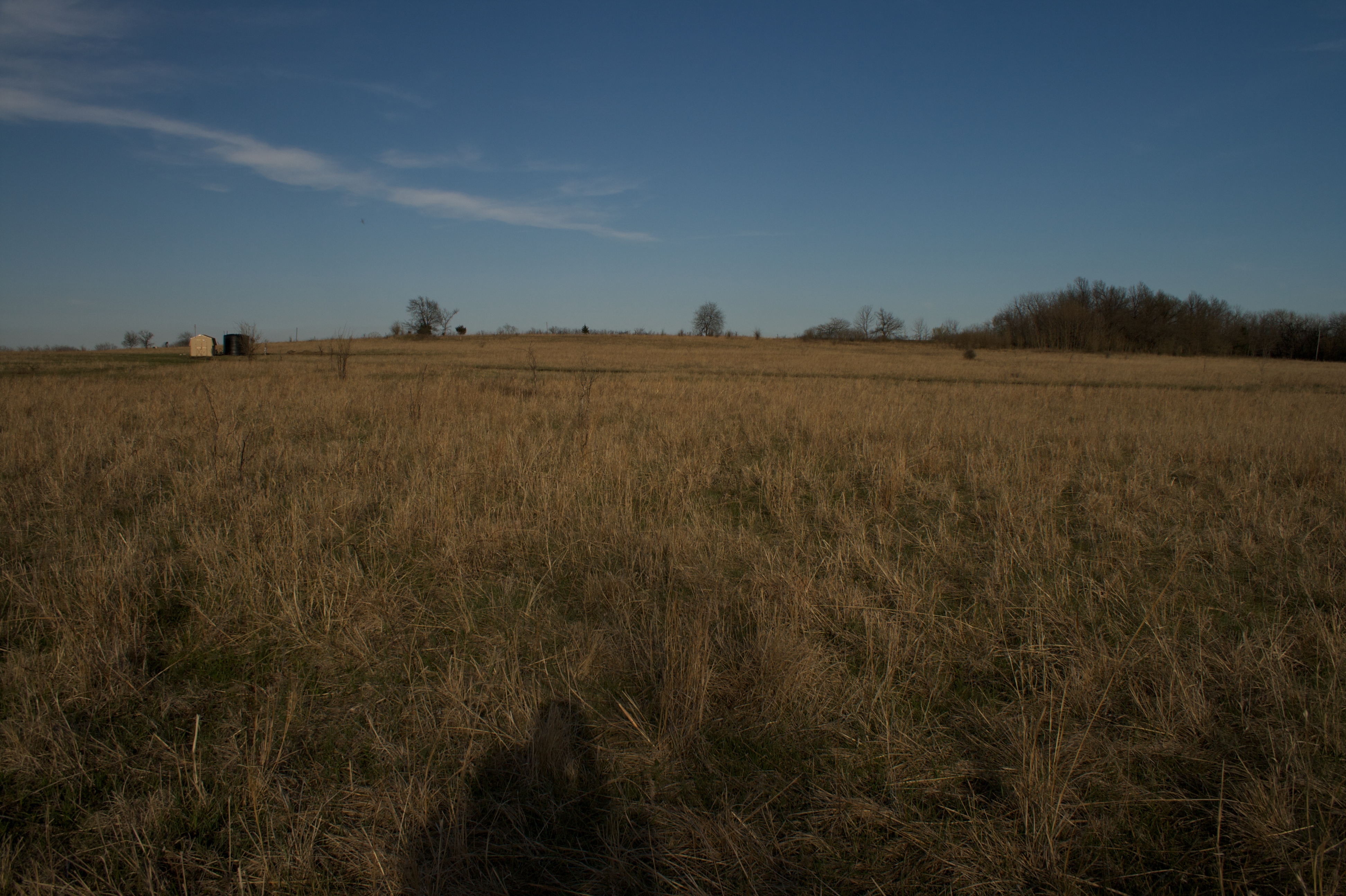
Related Photos:
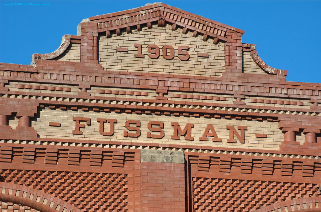
Fancy Brickwork - Humboldt, Kansas
Main Street - Neosho Falls, KS

Allen County Courthouse (Iola, Kansas)
2009-01-11 at 16-31-22
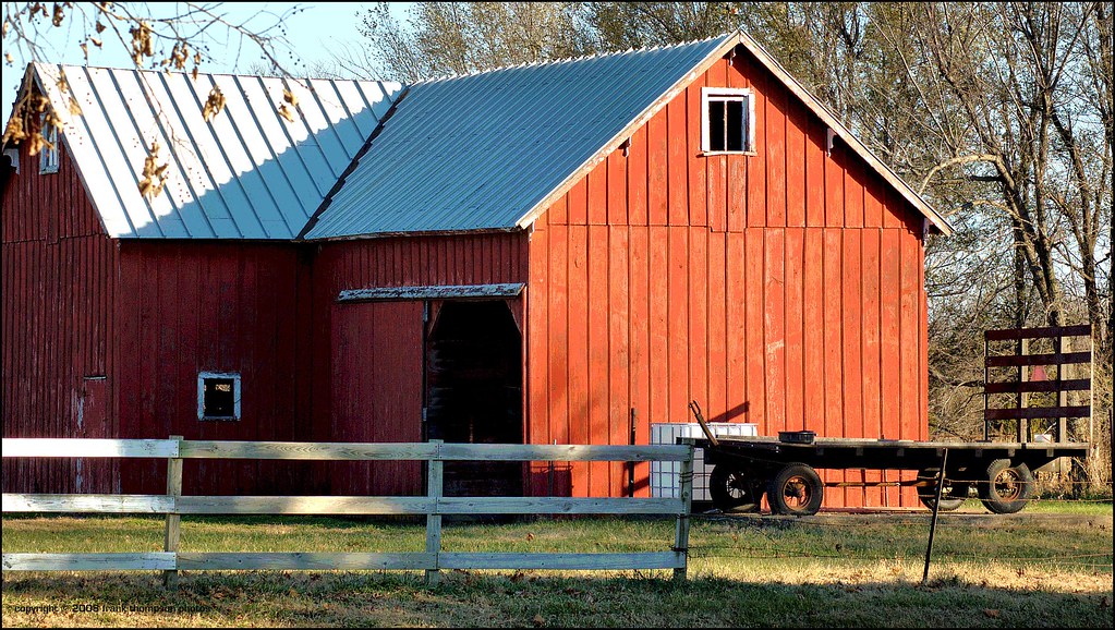
The Red Barn at Piqua

2009-01-11 at 16-17-35
2009-01-11 at 16-17-18
2009-01-11 at 16-17-24

Allen County Courthouse (Iola, Kansas)
2009-01-11 at 16-17-15
2009-04-14 at 16-52-49

2009-01-11 at 16-17-32
2009-01-11 at 16-17-09
2009-04-14 at 16-52-50
2009-04-14 at 16-53-04
2009-01-11 at 16-16-43
2009-04-14 at 16-53-15
2009-01-11 at 16-55-55
2009-04-14 at 16-52-56
2009-04-14 at 16-48-33
2009-04-14 at 16-45-40

2009-04-14 at 16-53-33
2009-04-14 at 17-15-20

2009-04-14 at 16-46-52

2009-01-11 at 16-12-06
2009-01-11 at 16-17-12

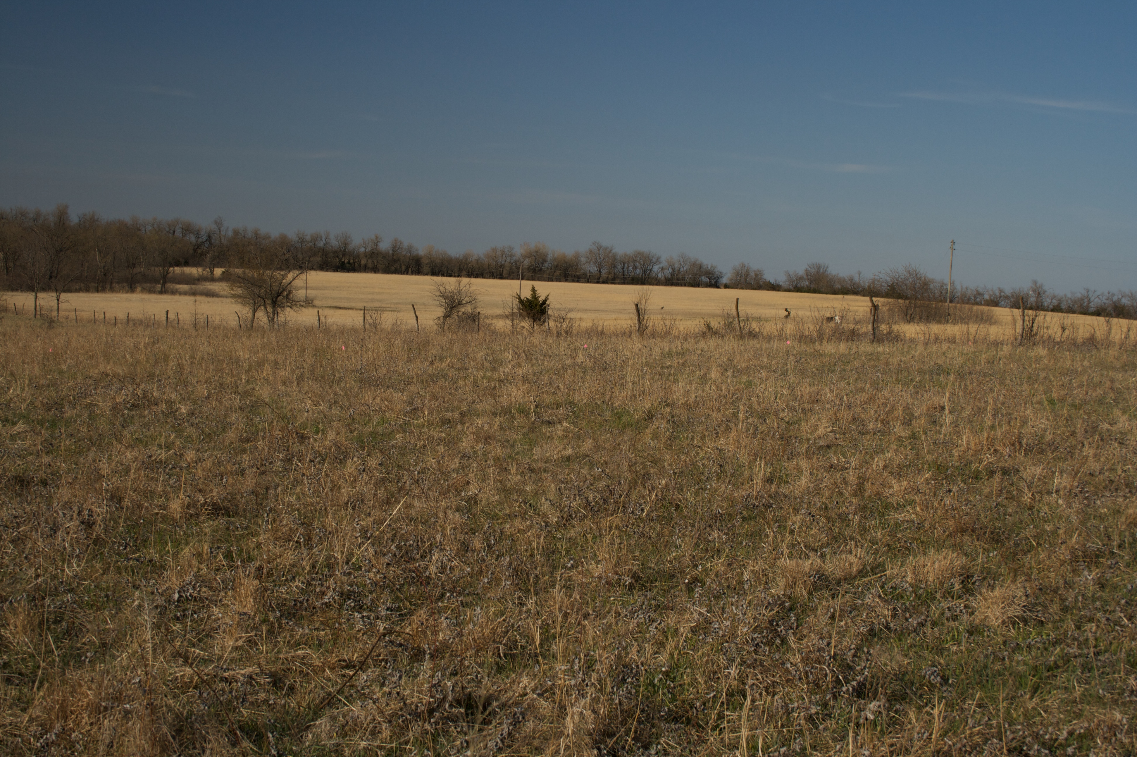
Country Road
2009-04-14 at 17-21-50
2009-04-14 at 16-55-00
Topographic Map of Piqua, KS, USA
Find elevation by address:

Places near Piqua, KS, USA:
Neosho Falls
2321 70th Rd
State Street Liquor
207 N State St
Montana Rd, Iola, KS, USA
Iola
Lehigh Portland Trails
Humboldt
S 8th St, Humboldt, KS, USA
Gas
N Stanley St, Iola, KS, USA
Allen County
Westside Tire And Auto
Kustom Signals Inc
Kustom Signals Inc
Tioga
Chanute Country Club
Royster Middle School
Bideau Law Offices: Bideau David J
Main Street Chanute
Recent Searches:
- Elevation of Shibuya Scramble Crossing, 21 Udagawacho, Shibuya City, Tokyo -, Japan
- Elevation of Jadagoniai, Kaunas District Municipality, Lithuania
- Elevation of Pagonija rock, Kranto 7-oji g. 8"N, Kaunas, Lithuania
- Elevation of Co Rd 87, Jamestown, CO, USA
- Elevation of Tenjo, Cundinamarca, Colombia
- Elevation of Côte-des-Neiges, Montreal, QC H4A 3J6, Canada
- Elevation of Bobcat Dr, Helena, MT, USA
- Elevation of Zu den Ihlowbergen, Althüttendorf, Germany
- Elevation of Badaber, Peshawar, Khyber Pakhtunkhwa, Pakistan
- Elevation of SE Heron Loop, Lincoln City, OR, USA